Havstadfjellet (18.05.2018)

| Startsted | Havstad (6moh) |
|---|---|
| Sluttsted | Bruland (61moh) |
| Turtype | Fottur |
| Turlengde | 2t 07min |
| Distanse | 8,6km |
| Høydemeter | 731m |
| GPS |
|
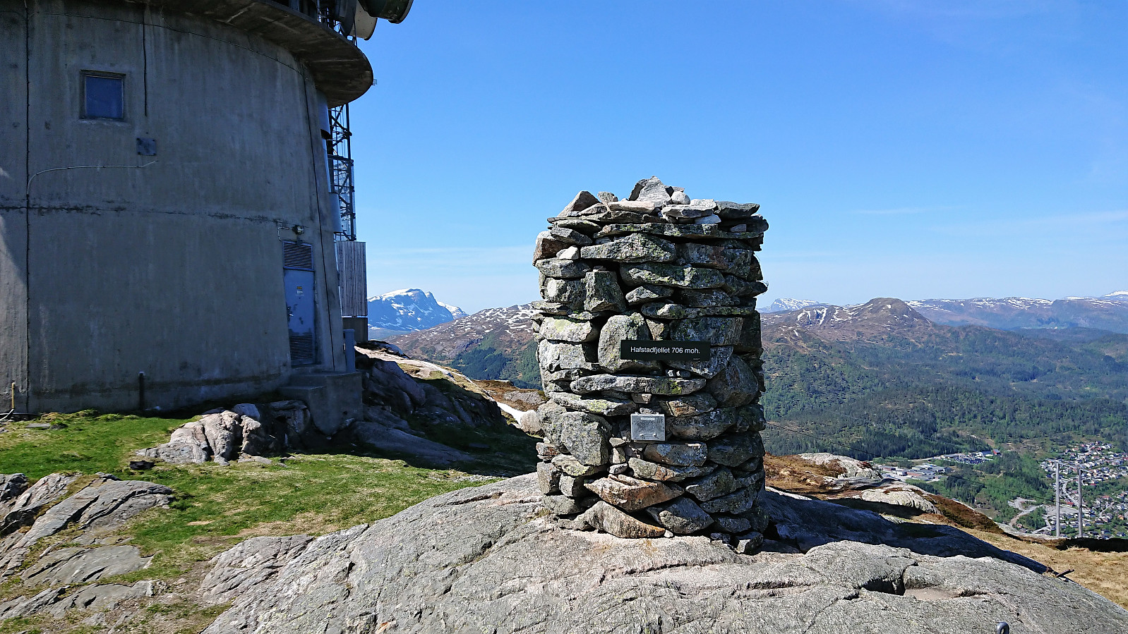
| Bestigninger | Havstadfjellet (706moh) | 18.05.2018 |
|---|---|---|
| Andre besøkte PBE'er | Bruland p-plass (60moh) | 18.05.2018 |
| Førde (0moh) | 18.05.2018 |
Havstadfjellet
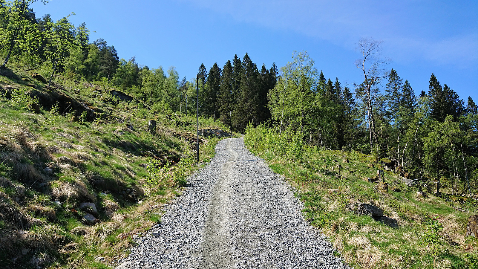
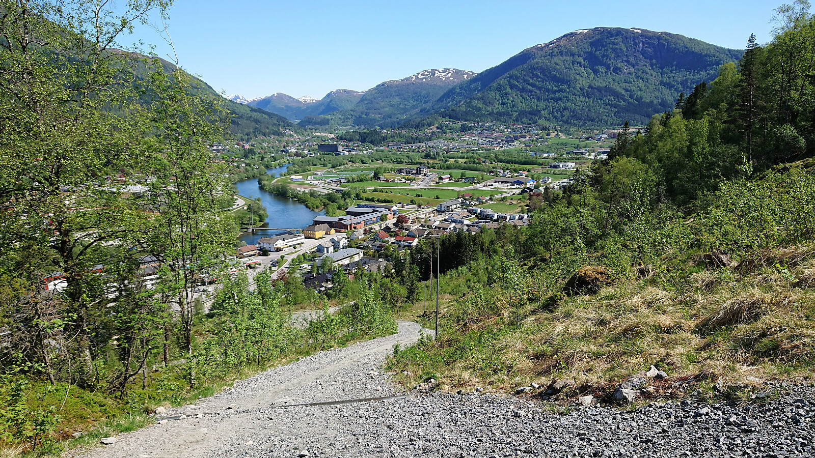
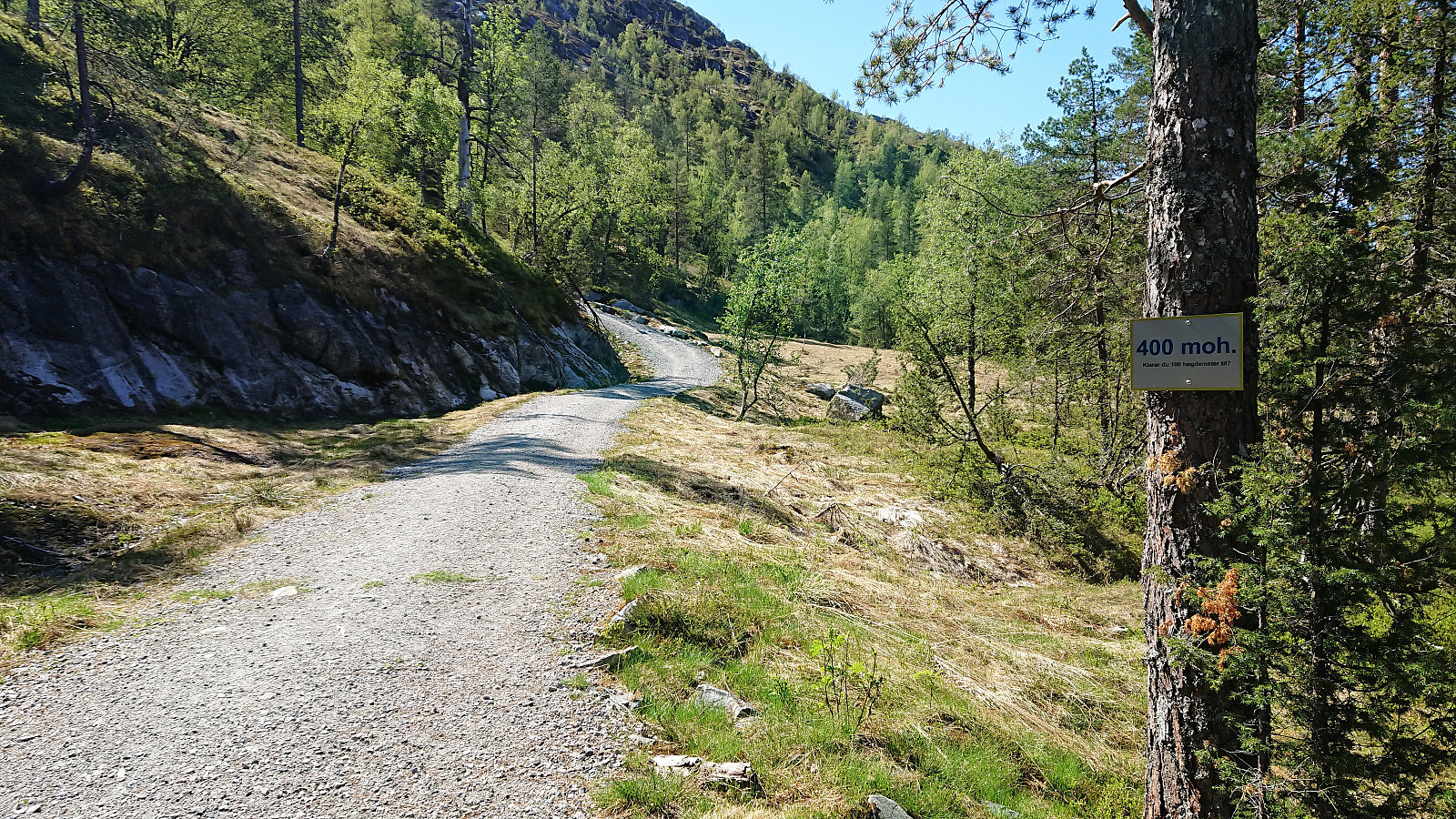
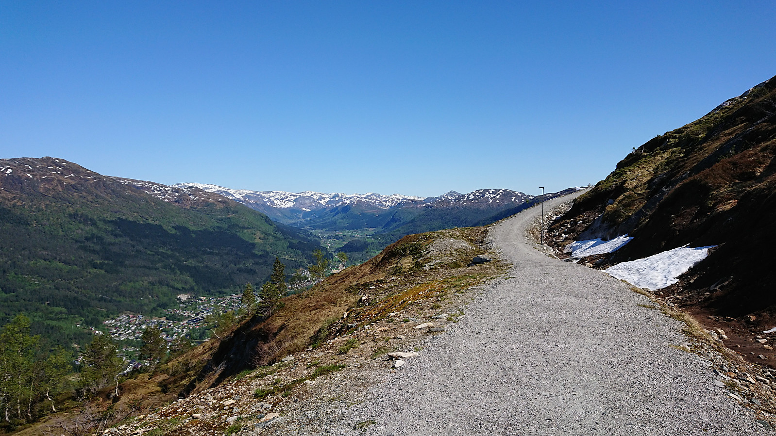
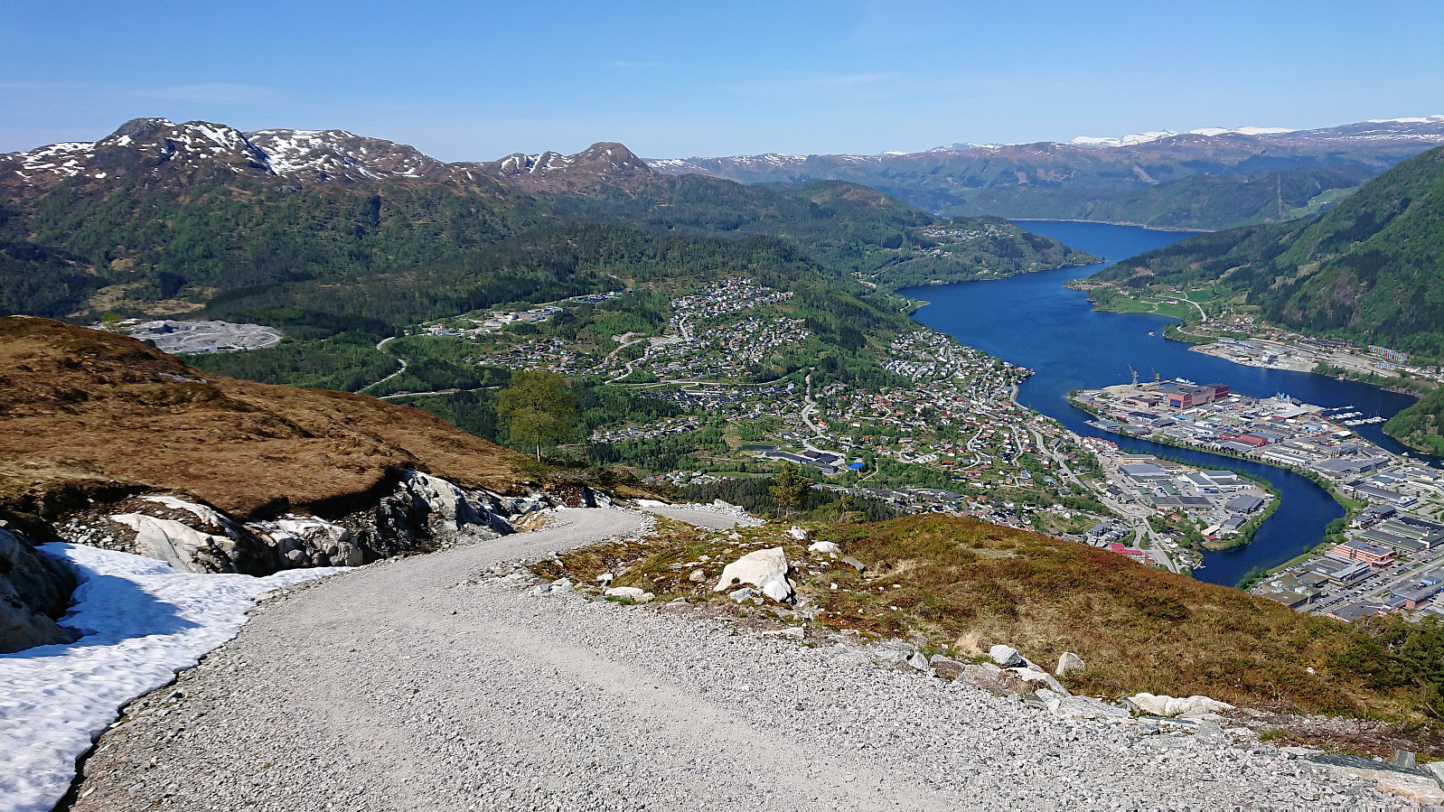
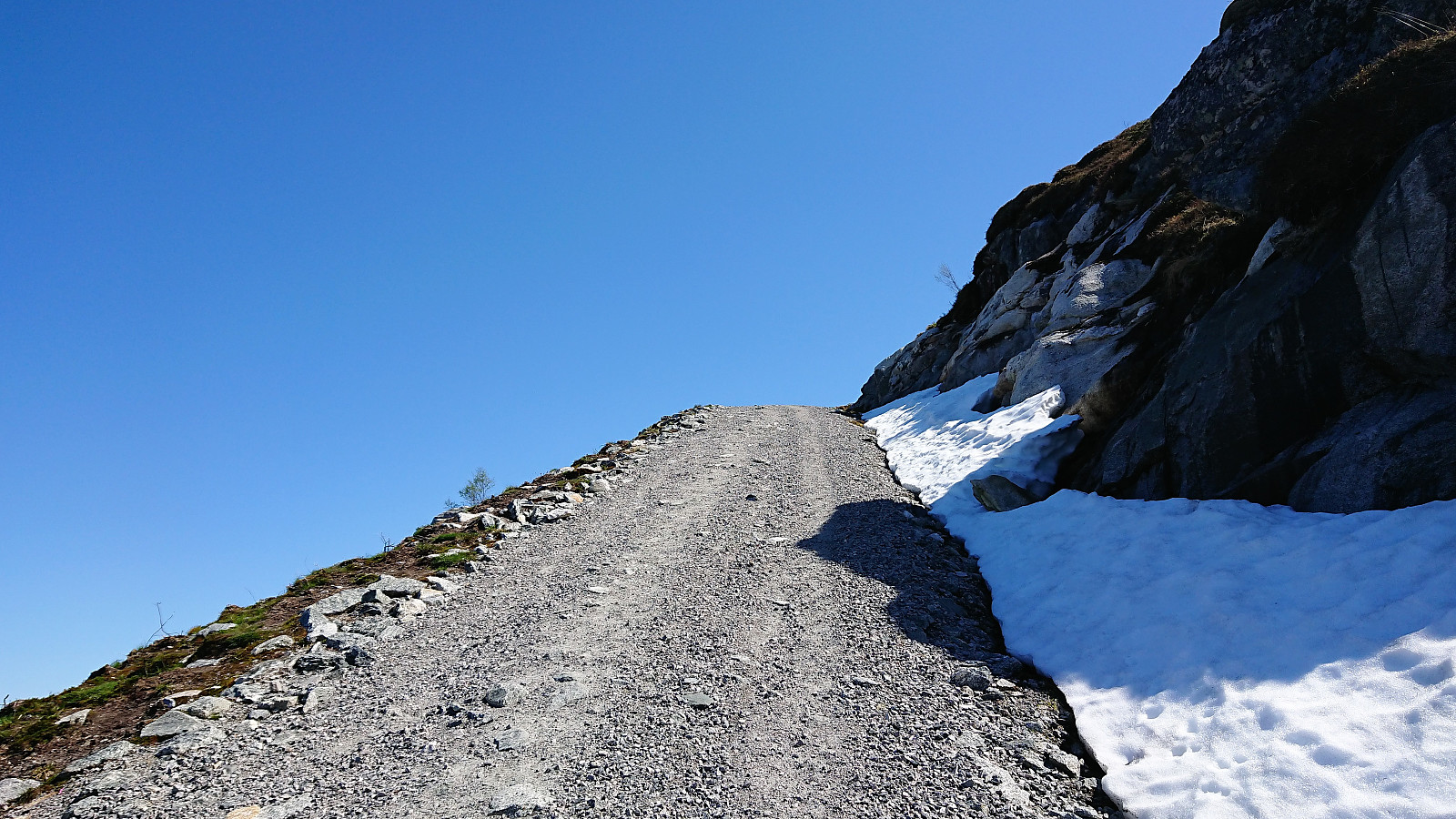
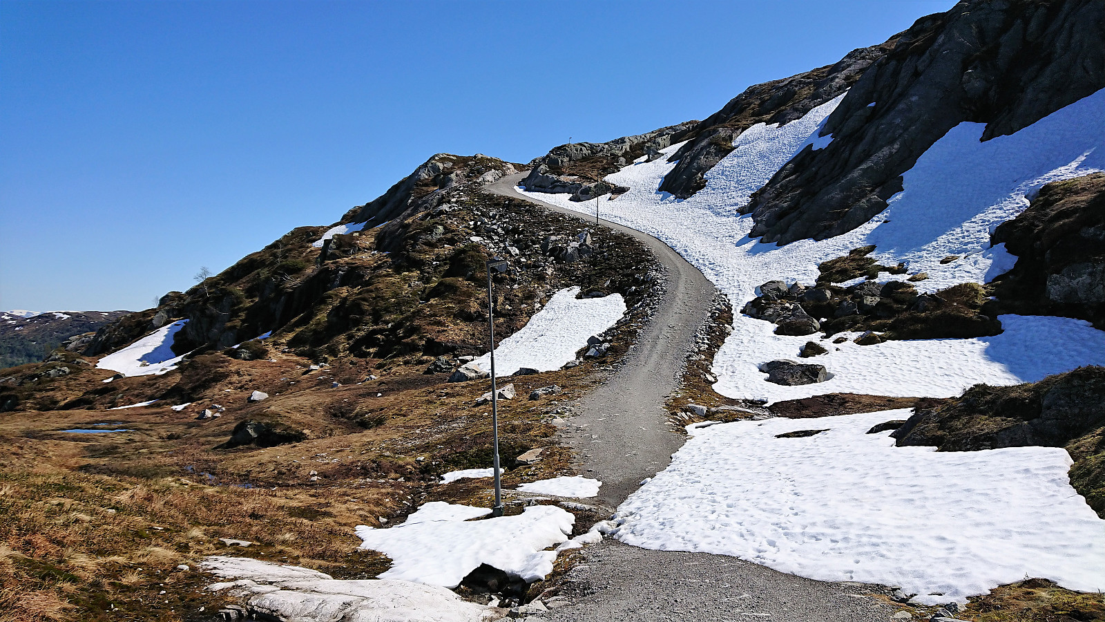
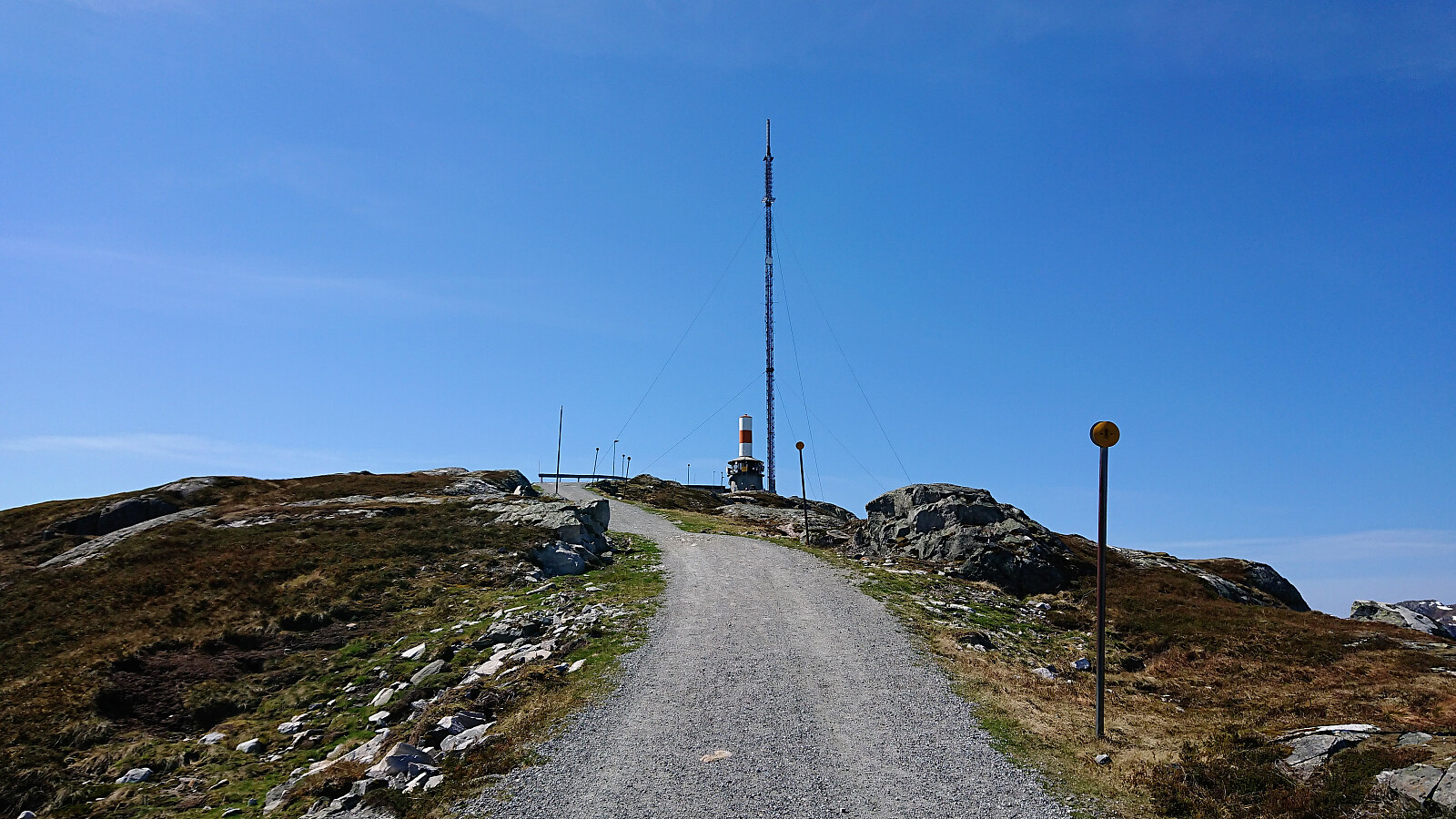
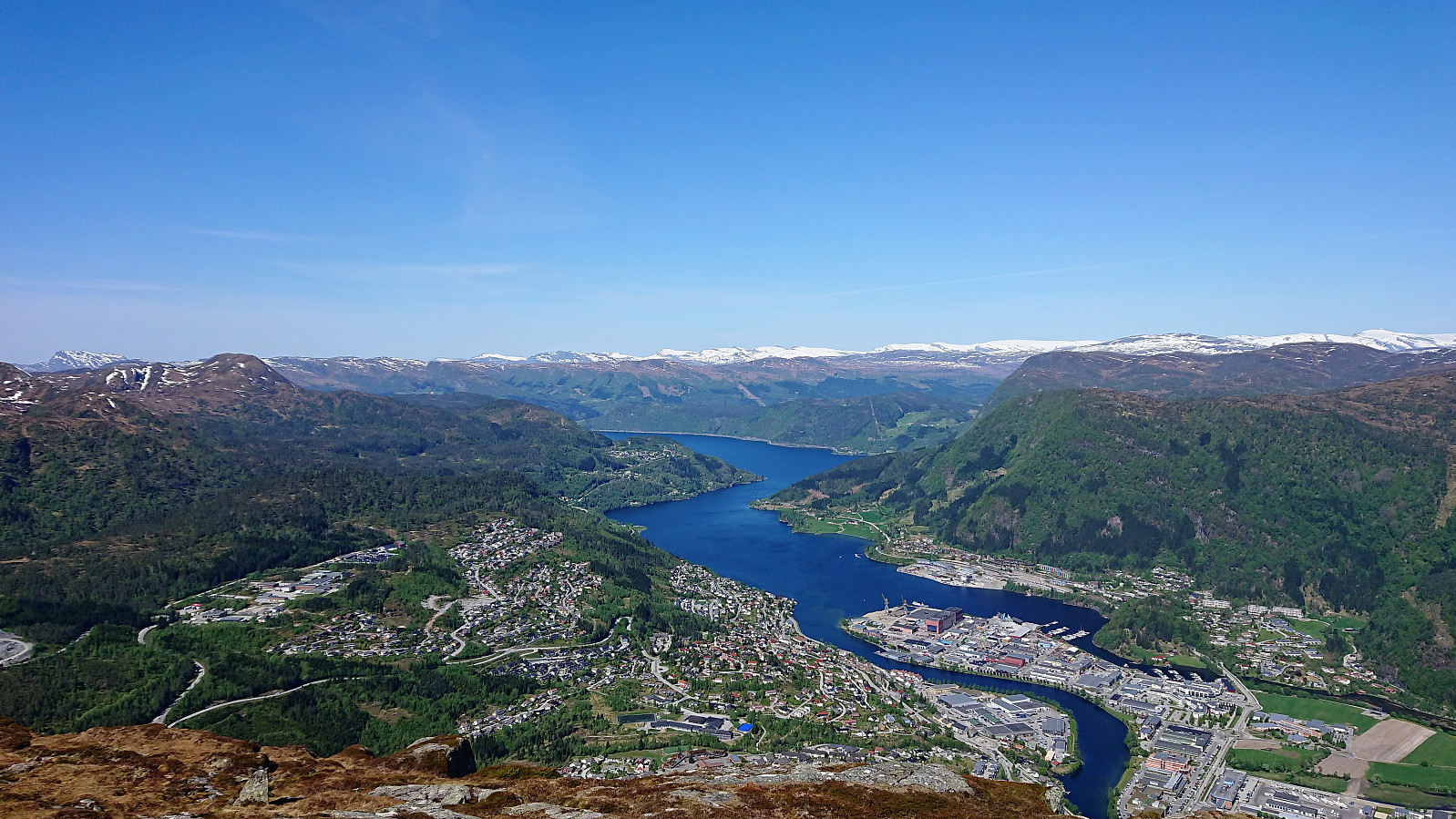
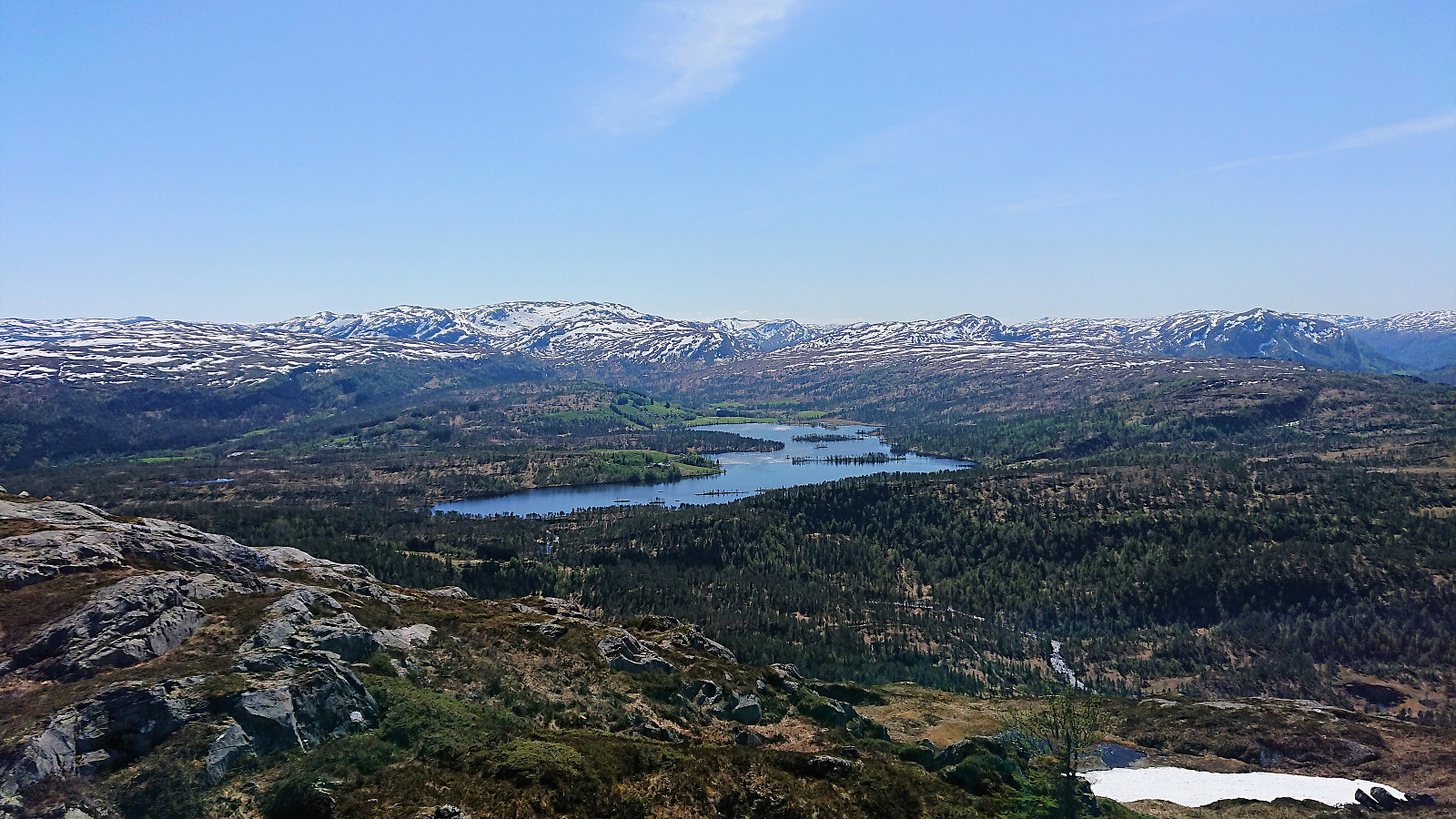
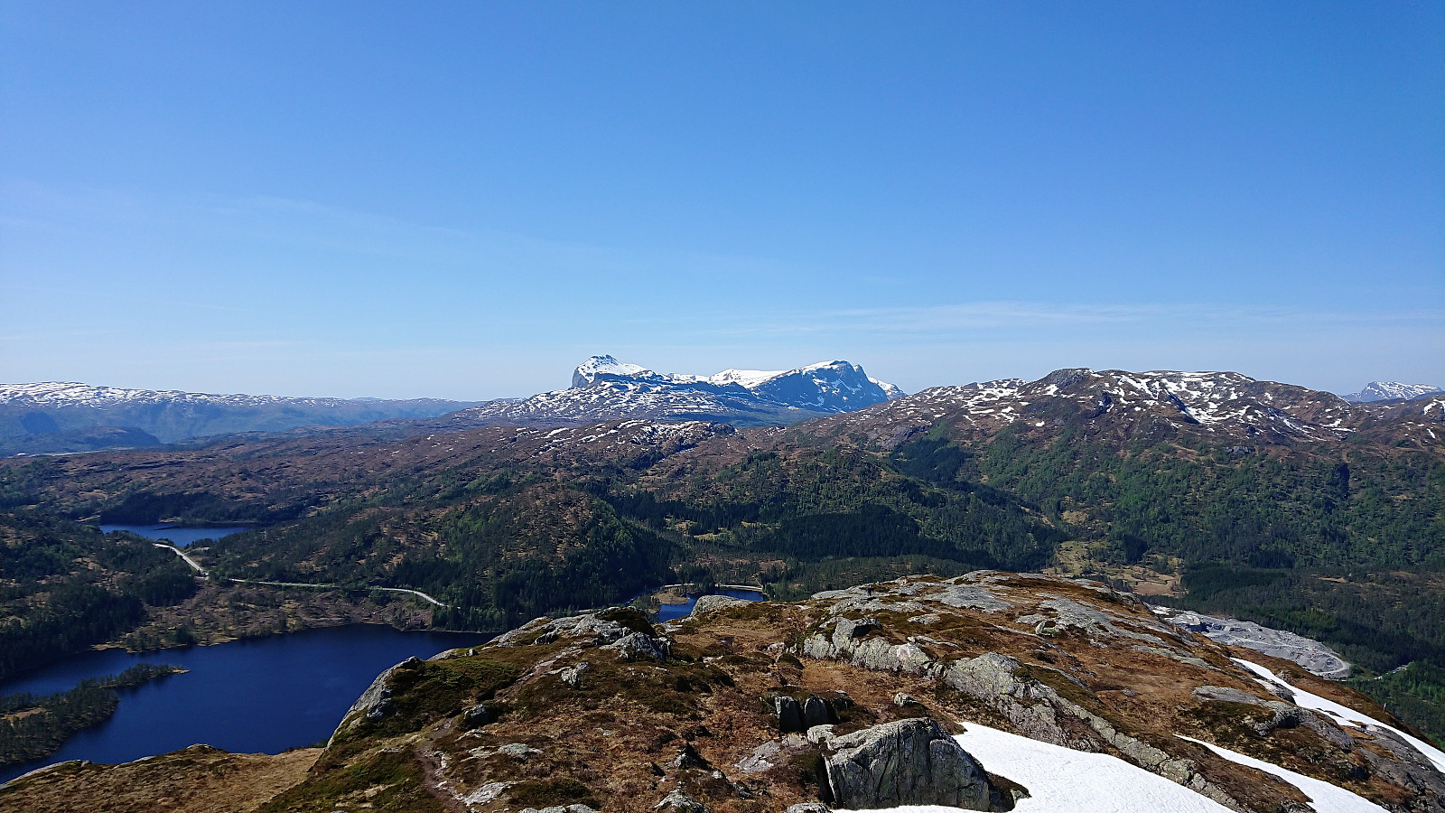
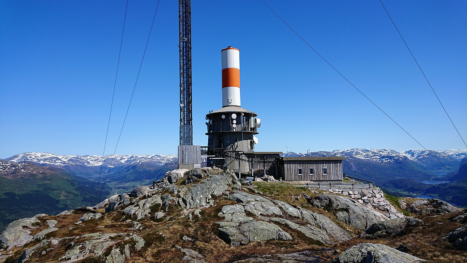
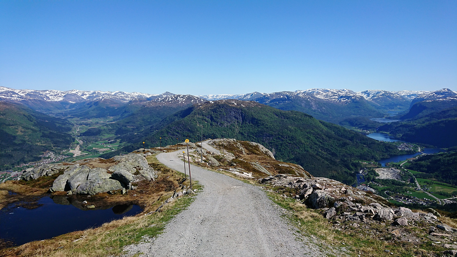
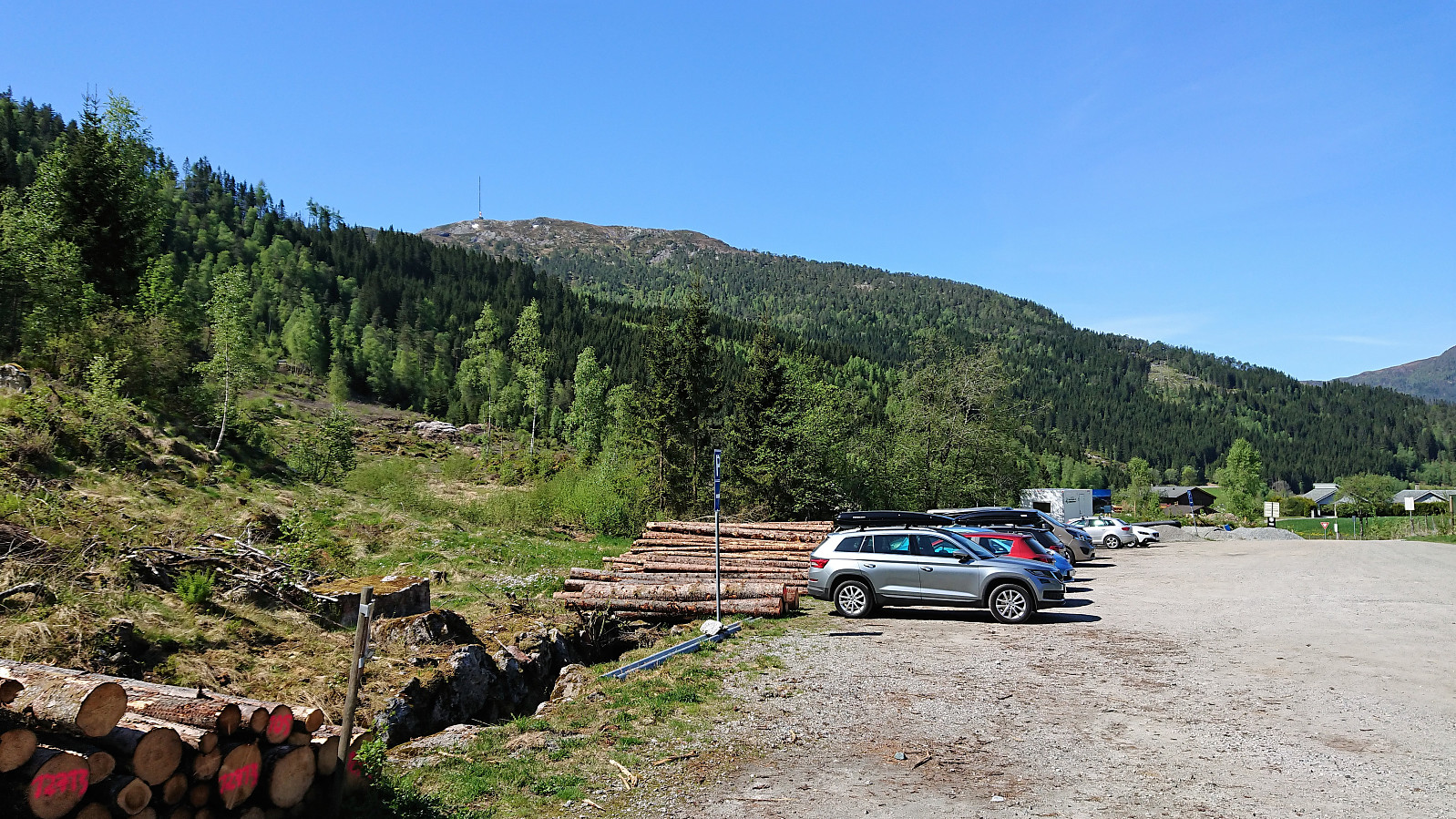
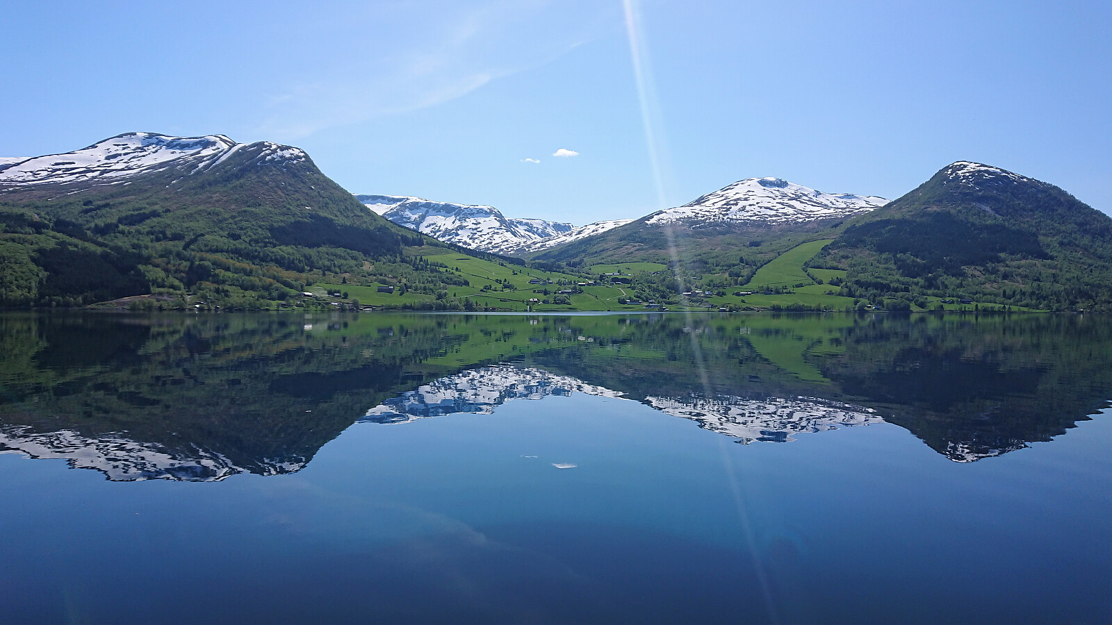
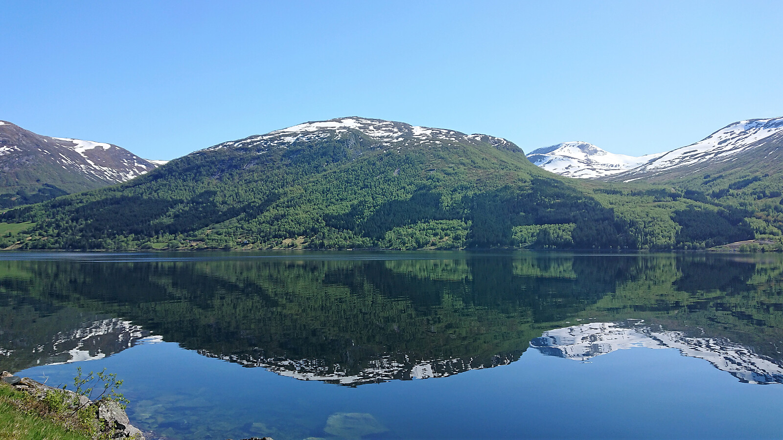
I was dropped off at Havstad and from there found the shortest route to the start of the gravel road to Havstadfjellet. The gravel road quickly became very steep, much steeper than expected, and, besides two or three short stretches, it pretty much stayed that way all the way to the top. By far the steepest gravel road I've hiked. As I progressed upwards the views continued to expand, ending in a spectacular 360-degree view from the summit, especially nice at this time of the year with snow at the top of the mountains.
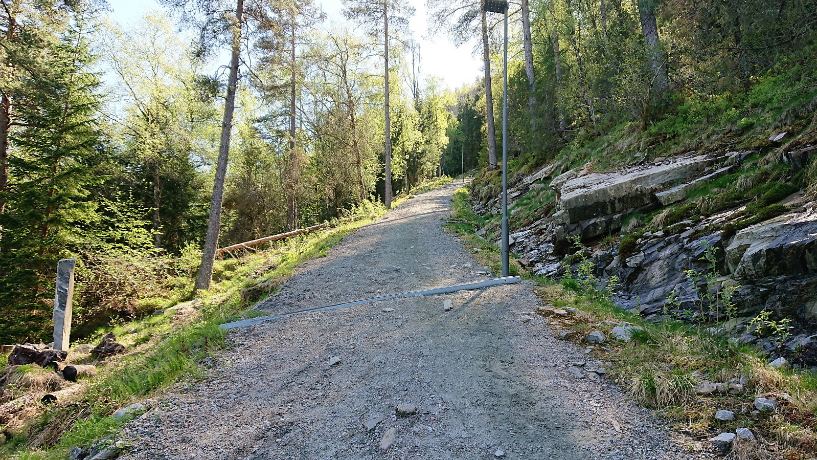
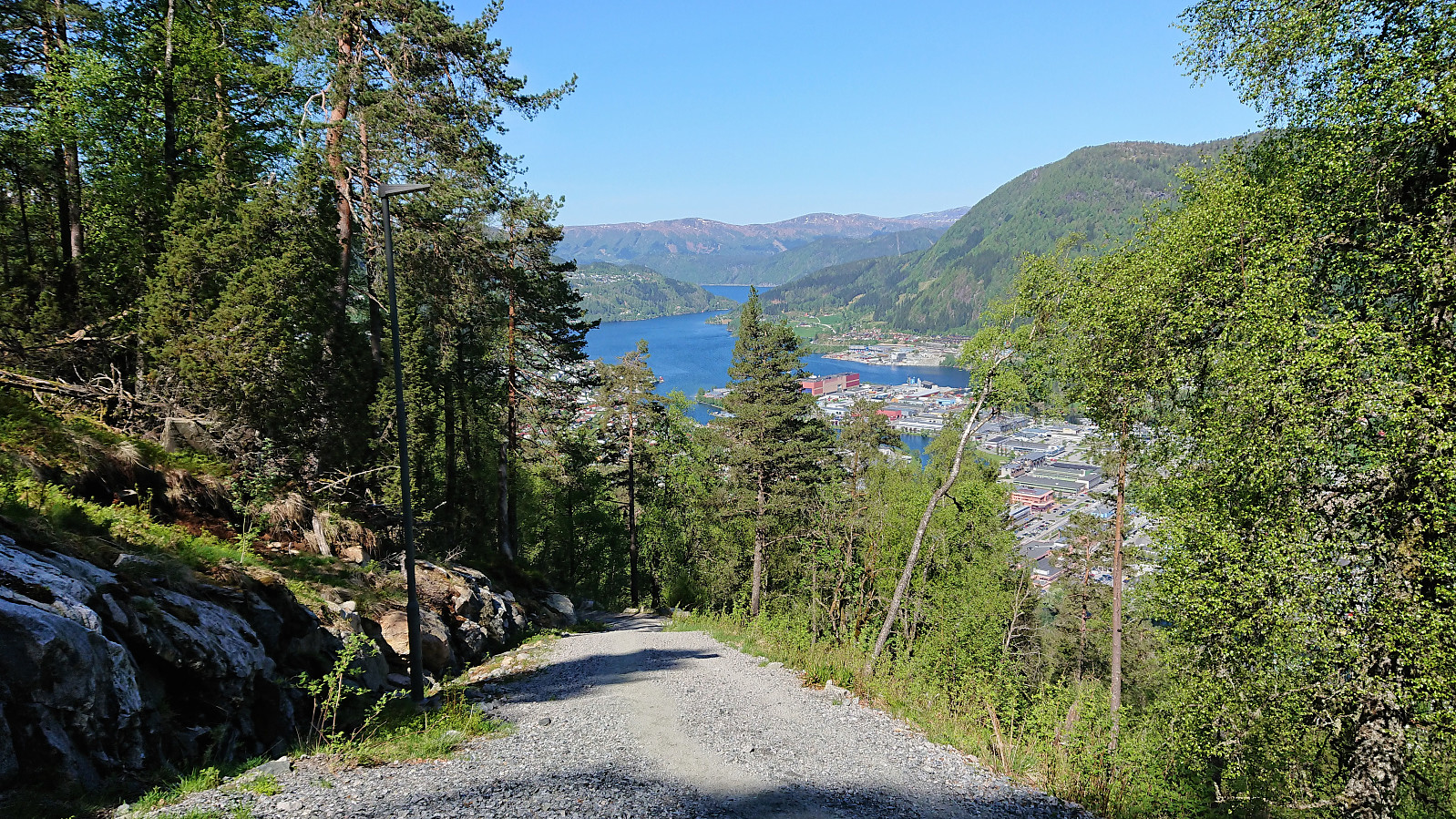
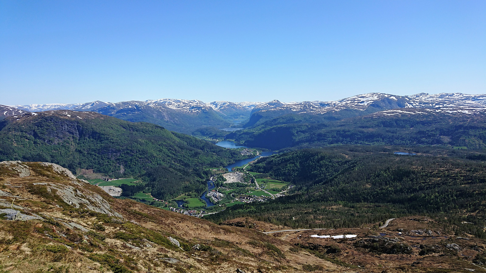
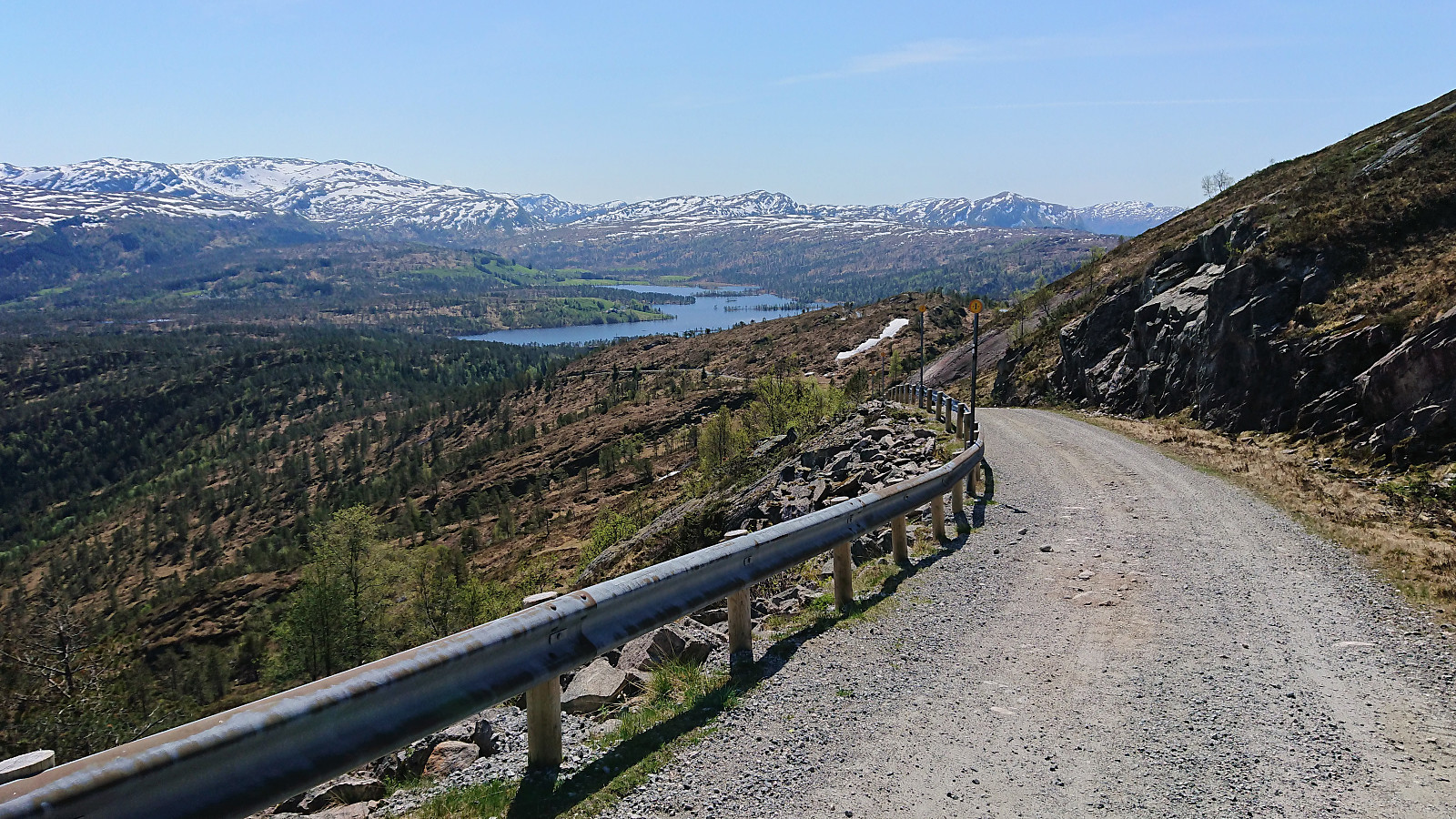
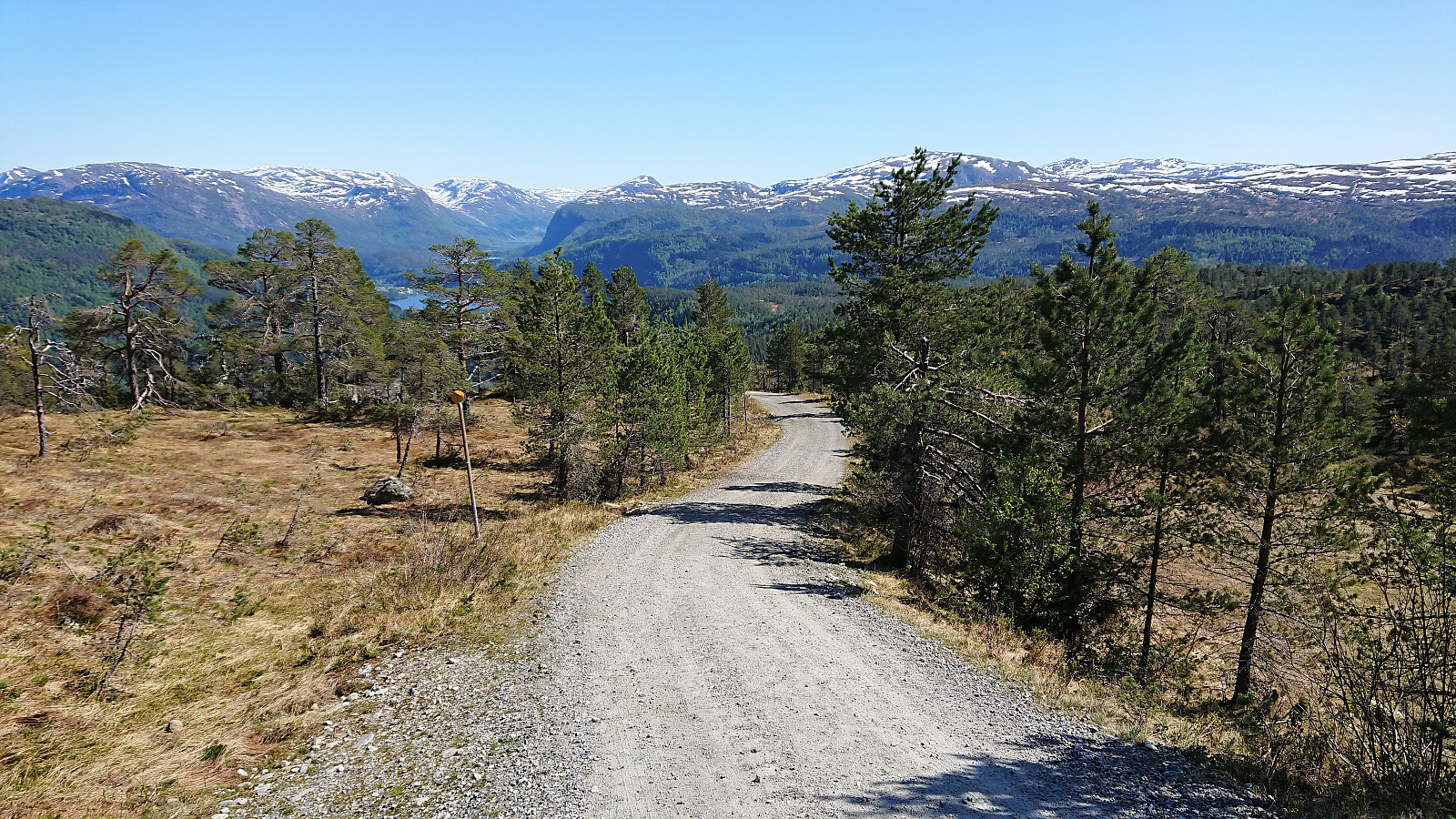
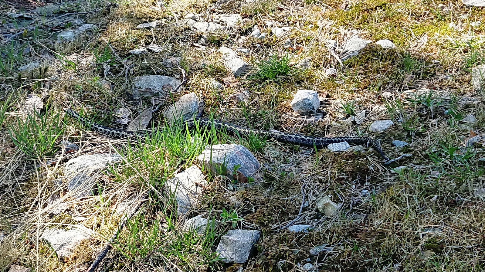
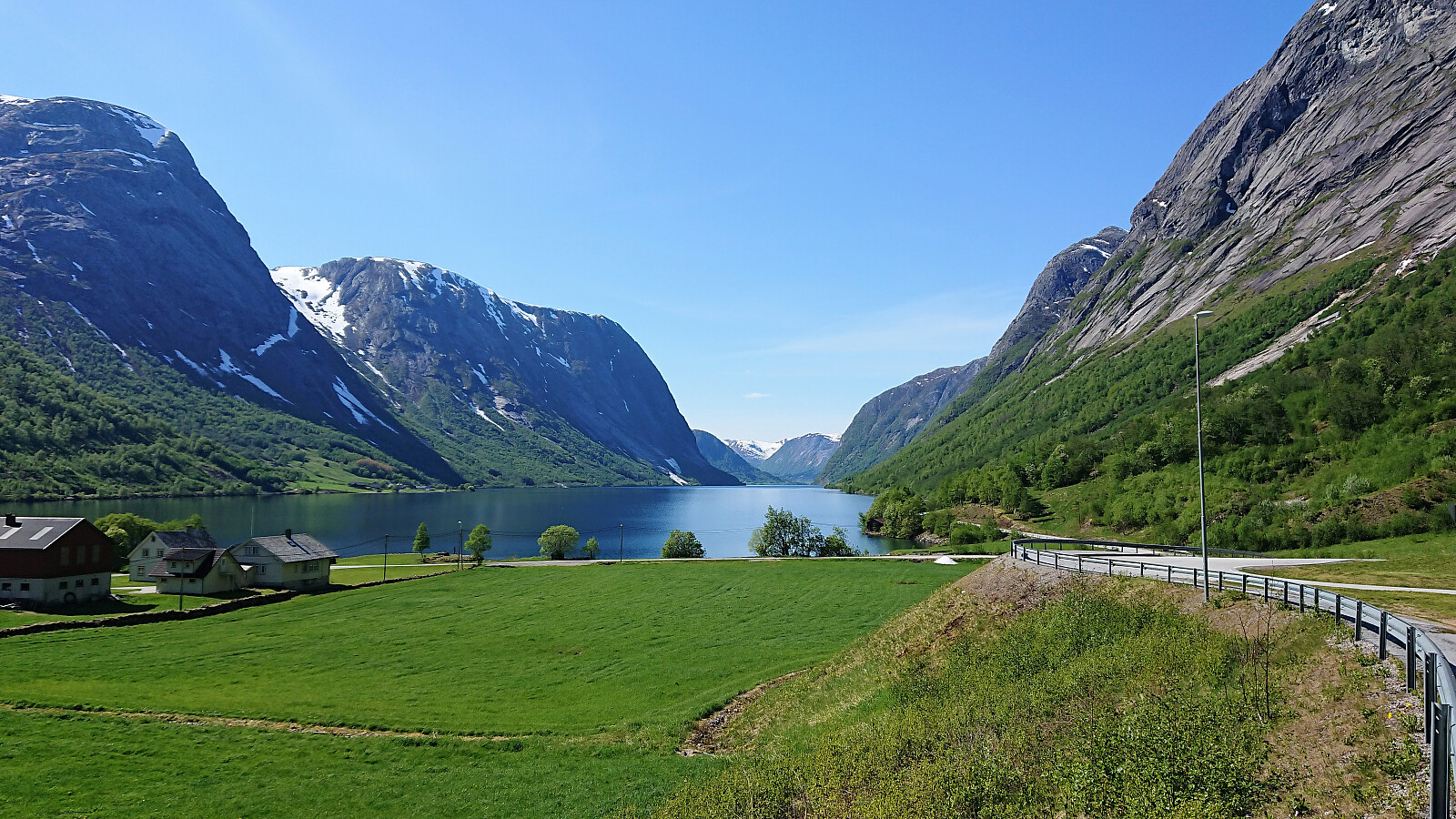
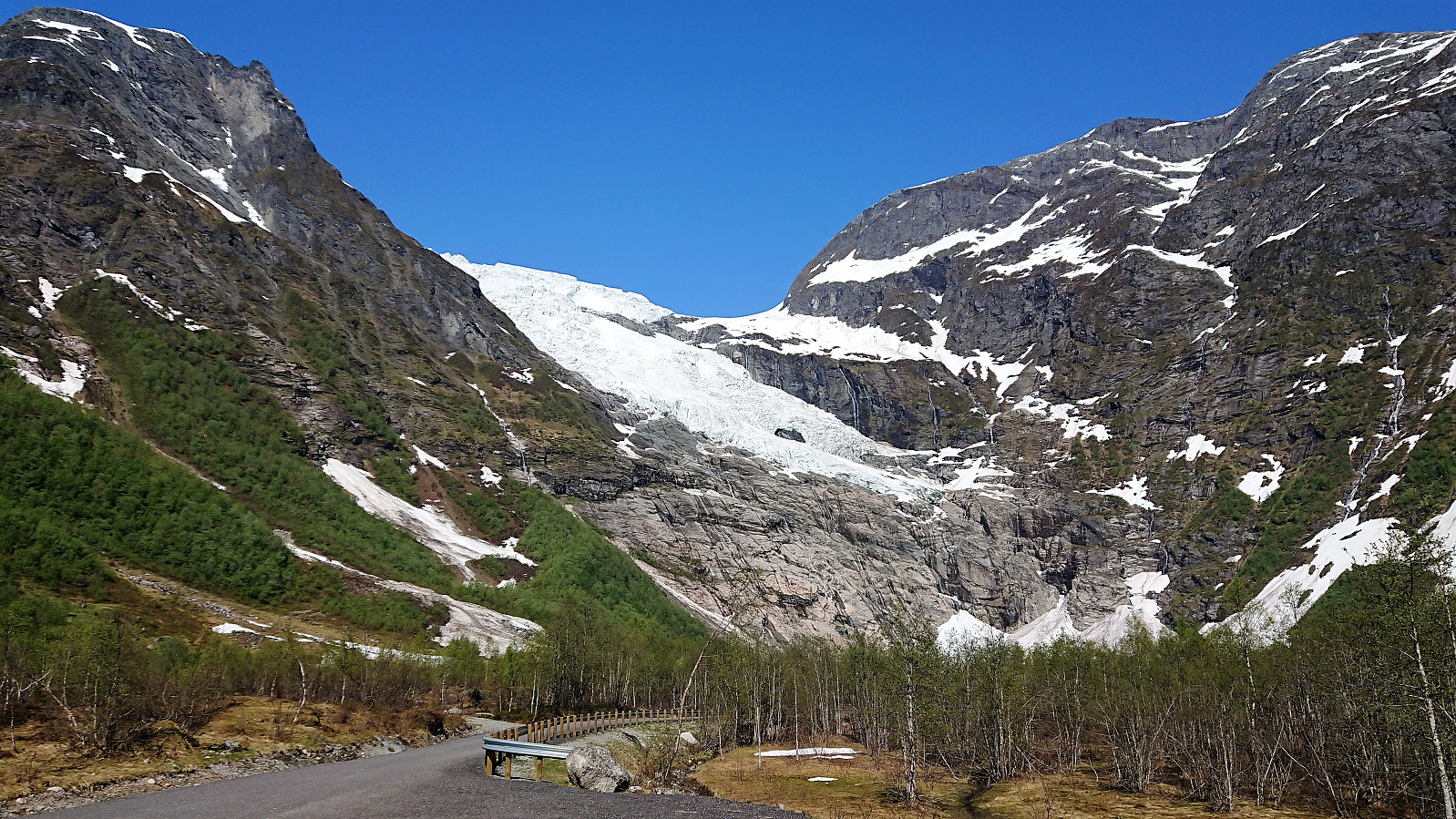
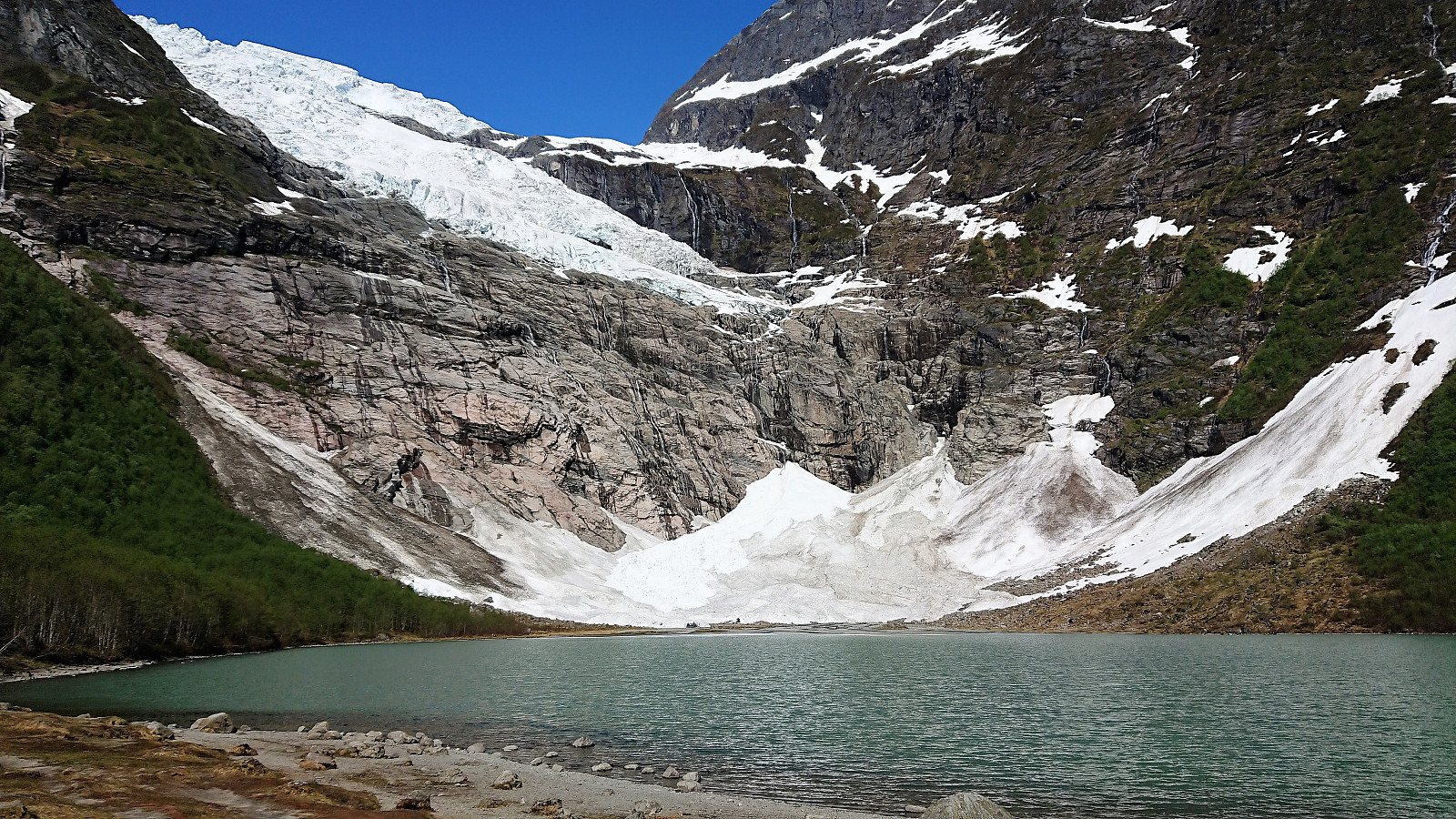
After numerous pictures, I started my descent to Bruland, now on a more regular gravel road, but still with excellent views along the way. Towards the end I came across, and almost stepped on, a viper positioned in the middle of the road. The second viper I've almost stepped on so far in 2018... At the parking lot at Bruland I was picked up for the drive back to Sogndal, adding a short stop at Bøyumbreen on the way.
Overall, a hike that can be highly recommended!
| Starttidspunkt | 18.05.2018 12:13 (UTC+01:00 ST) |
| Sluttidspunkt | 18.05.2018 14:21 (UTC+01:00 ST) |
| Totaltid | 2t 07min |
| Bevegelsestid | 2t 01min |
| Pausetid | 0t 6min |
| Snittfart totalt | 4,0km/t |
| Snittfart bevegelsestid | 4,2km/t |
| Distanse | 8,6km |
| Høydemeter | 730m |

Kommentarer