Sælsfjellet (30.04.2018)

| Start point | Sælsvika (4m) |
|---|---|
| Endpoint | Hummelsund (10m) |
| Characteristic | Hillwalk |
| Duration | 1h 20min |
| Distance | 3.5km |
| Vertical meters | 142m |
| GPS |
|
| Ascents | Sælsfjellet (84m) | 30.04.2018 |
|---|
Sælsfjellet
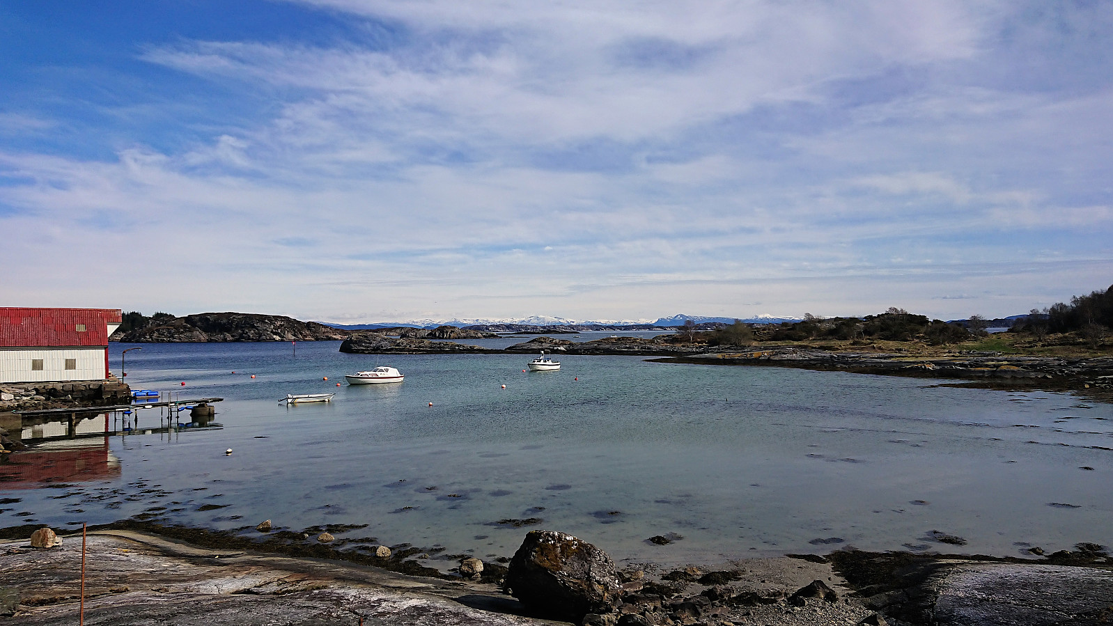
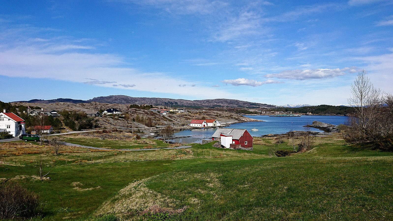
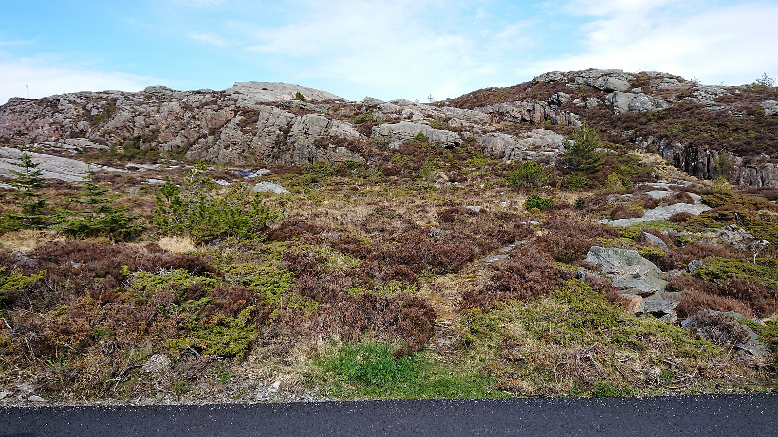
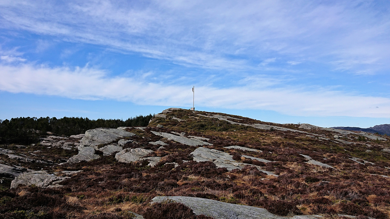
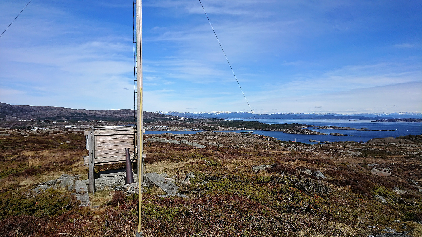
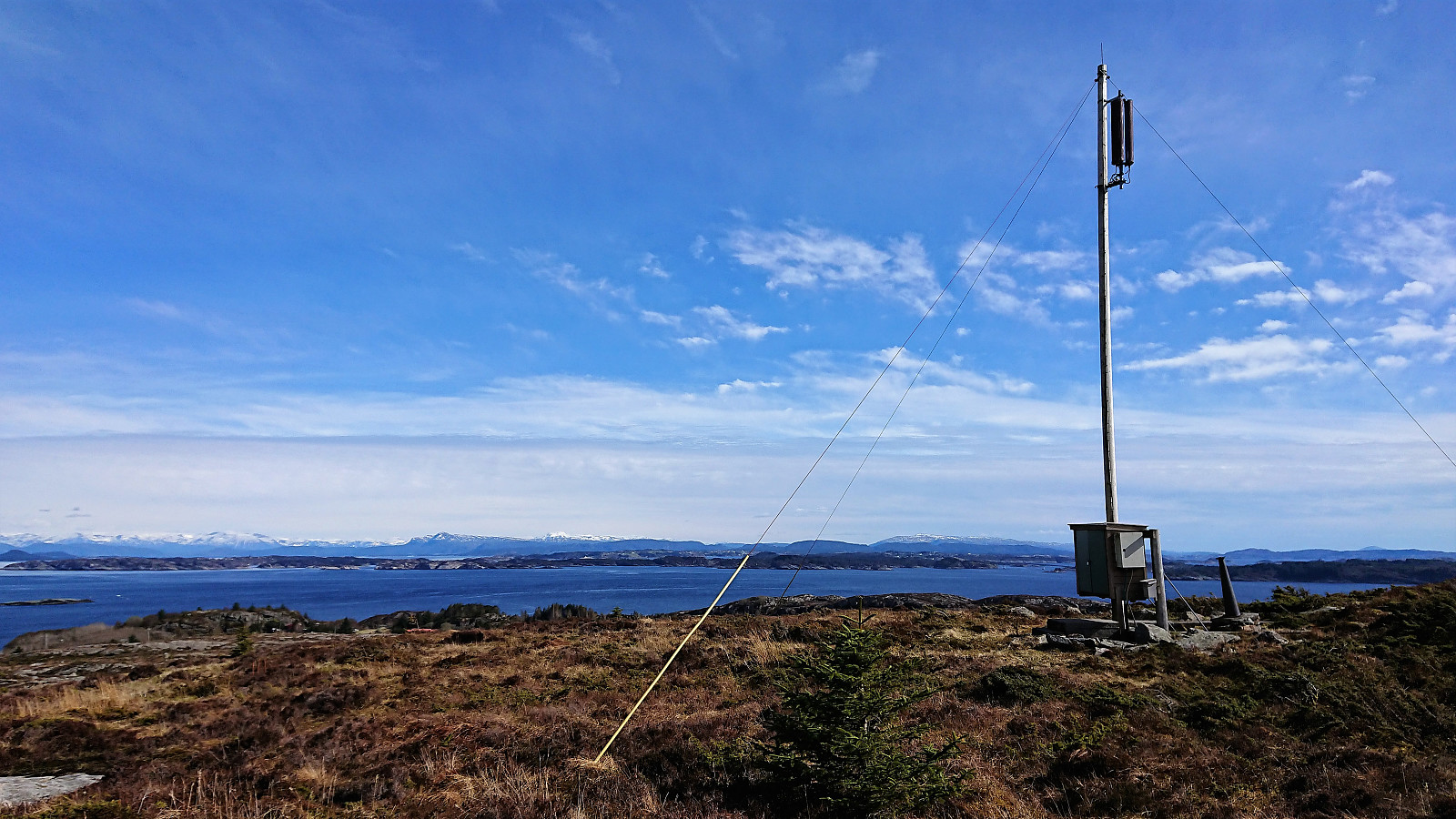
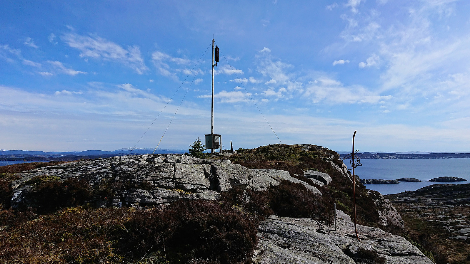
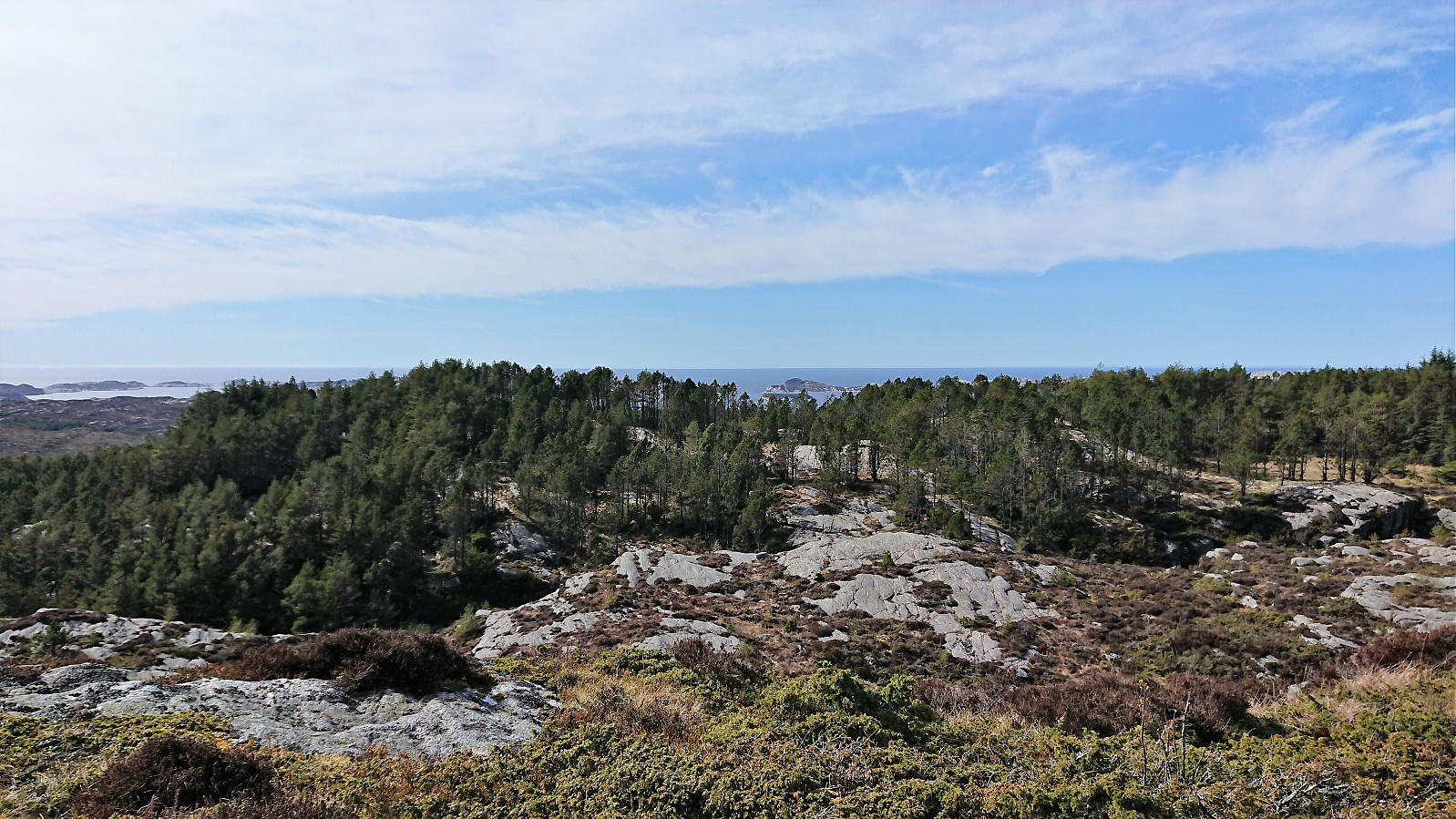
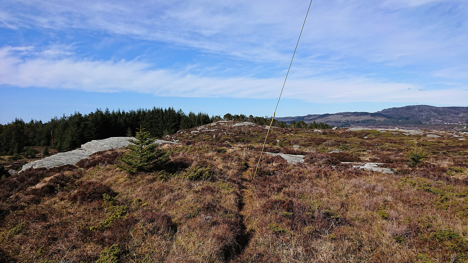
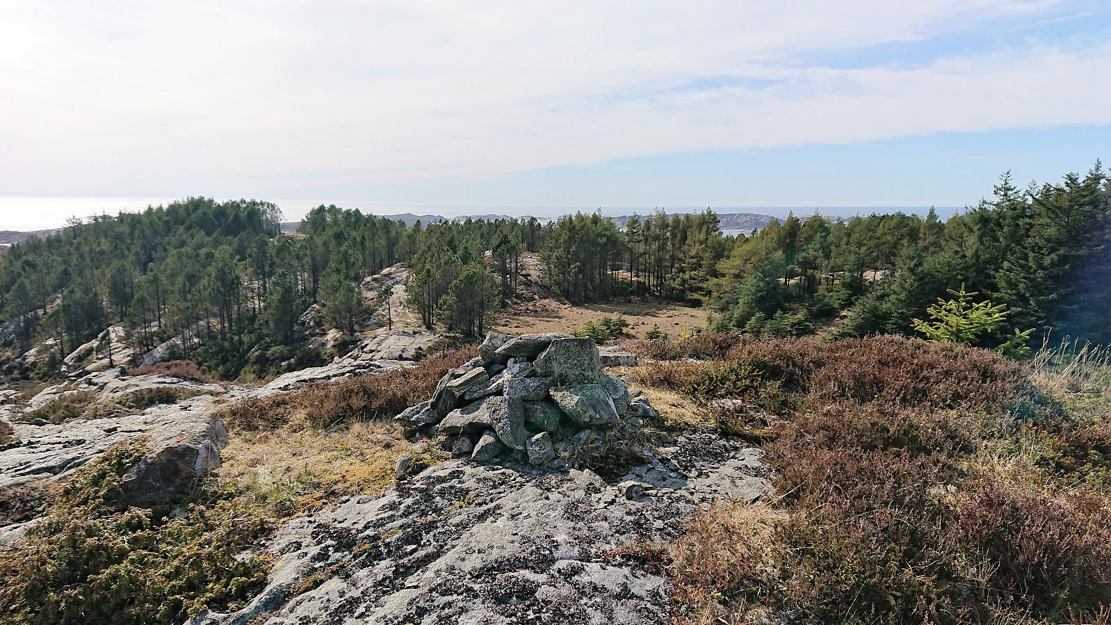
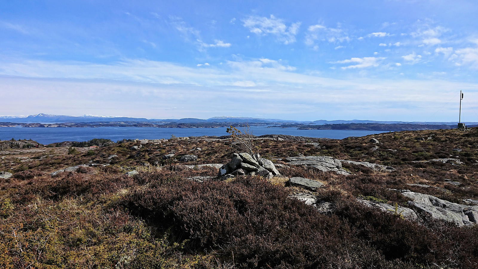
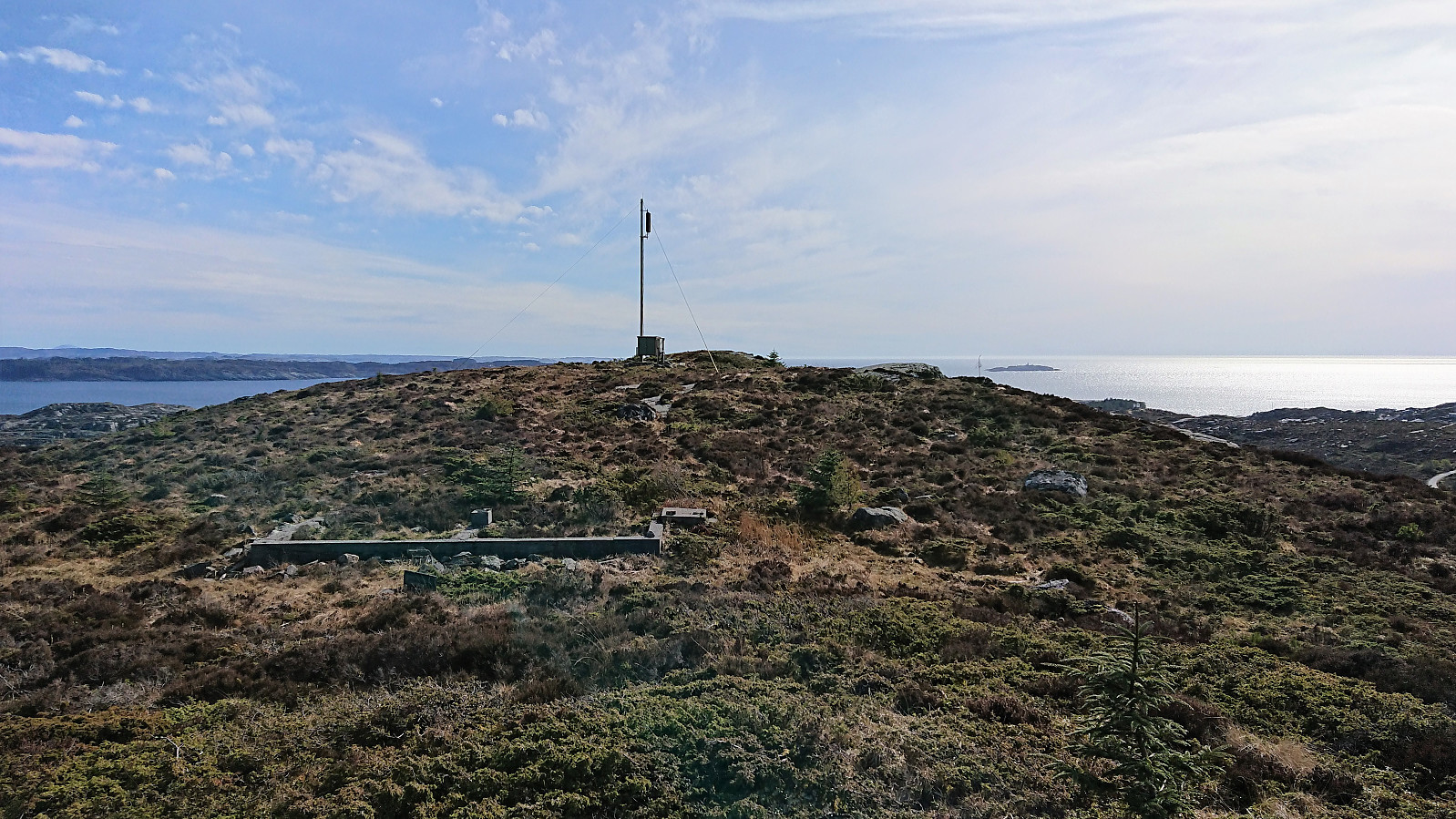
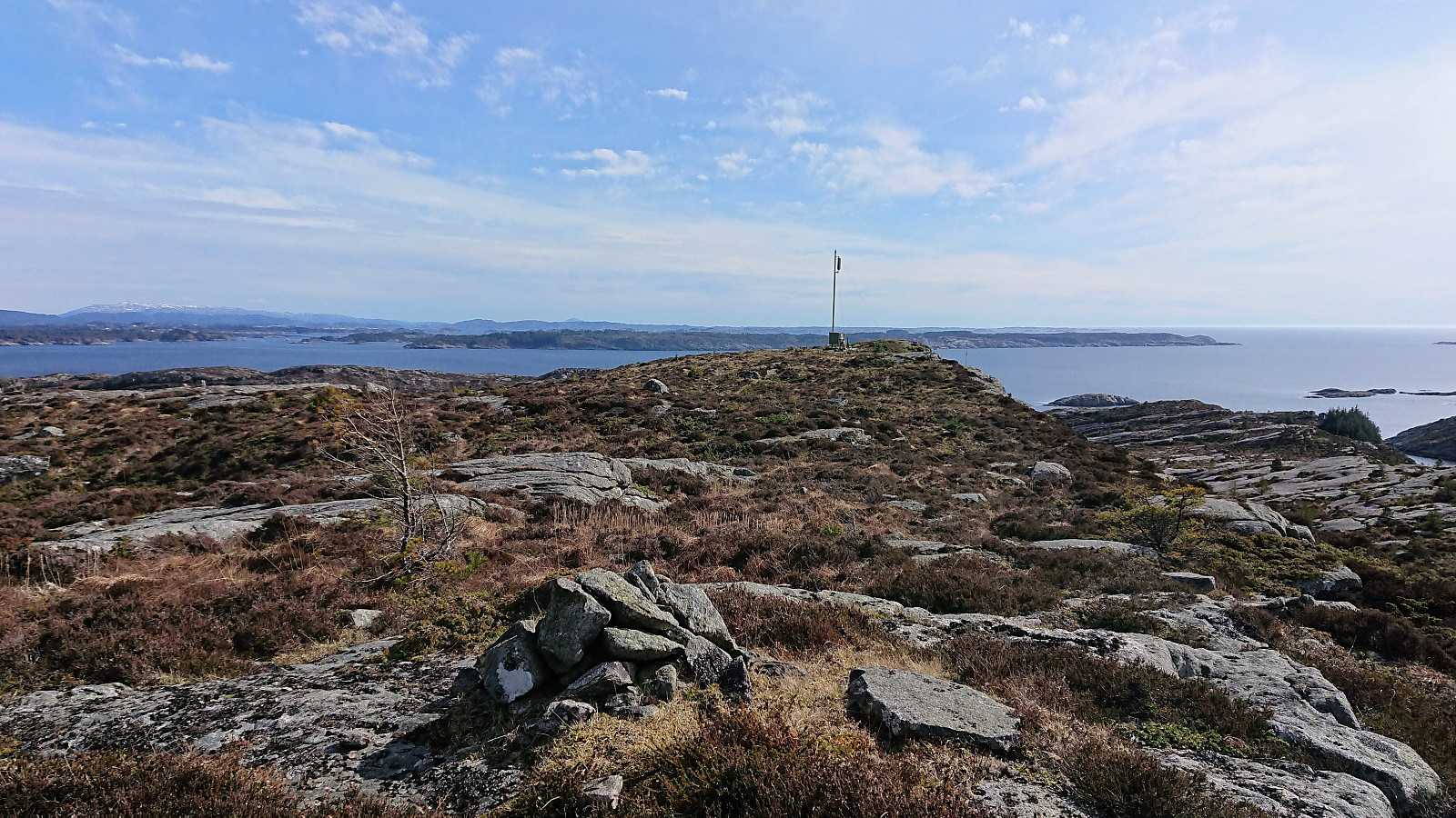
Started by taking the bus to Sælsvika (bus stop "Sæle snuplass", i.e. the final bus stop) and after enjoying the excellent views across the harbor towards Folgefonna we walked back along the road to locate the trail towards Sælsfjellet. Thanks to Kjell's recent trip report we quickly located the trailhead and shortly arrived at the southern summit indicated by an antenna.
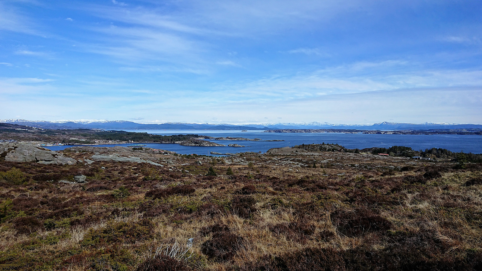
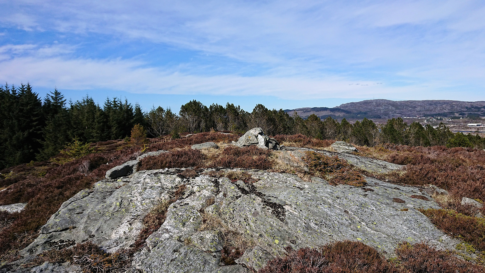
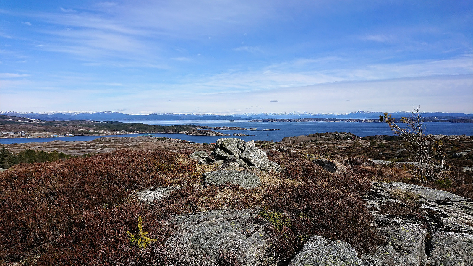
The highest point (if ever so slightly) is however a small cairn about 100 meters further north. The trail did continue in this direction, but turned right (east) before reaching the cairn. Excellent views all around, both towards the sea and towards the snow-covered mountains to the southeast. Highly recommended!
After taking lots of pictures (in total my colleague ended up just shy of 200...) we returned to the road and followed it northwest to Hummelsund for the bus back to Bergen. Overall, a very nice short hike with excellent views that was definitely worth the long bus ride.
| Start date | 30.04.2018 15:35 (UTC+01:00 DST) |
| End date | 30.04.2018 16:55 (UTC+01:00 DST) |
| Total Time | 1h 20min |
| Moving Time | 1h 08min |
| Stopped Time | 0h 11min |
| Overall Average | 2.6km/h |
| Moving Average | 3.0km/h |
| Distance | 3.5km |
| Vertical meters | 142m |

User comments