Storåsen in Os (19.02.2018)

| Startpunkt | Tveit (75m) |
|---|---|
| Endpunkt | Hegglandsdalen skule (77m) |
| Tourcharakter | Bergtour |
| Tourlänge | 1h 40min |
| Entfernung | 5,5km |
| Höhenmeter | 290m |
| GPS |
|
| Besteigungen | Storåsen i Os (218m) | 19.02.2018 |
|---|---|---|
| Besuche anderer PBE | Gjemdal p-lomme (88m) | 19.02.2018 |
| Pers plass (189m) | 19.02.2018 |
Storåsen in Os
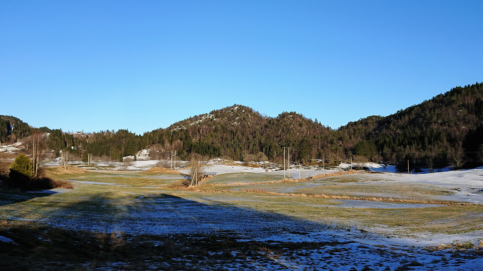
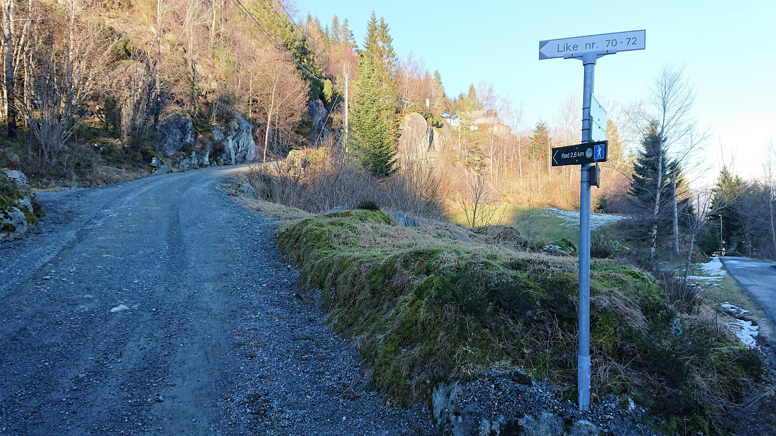
Started by taking the bus to Tveit and from there following the paved road east to Lia, where I turned north and quickly found a sign indicating the newly marked trail to Rød, a trail that was also supposed to pass very close by today's goal: Storåsen.
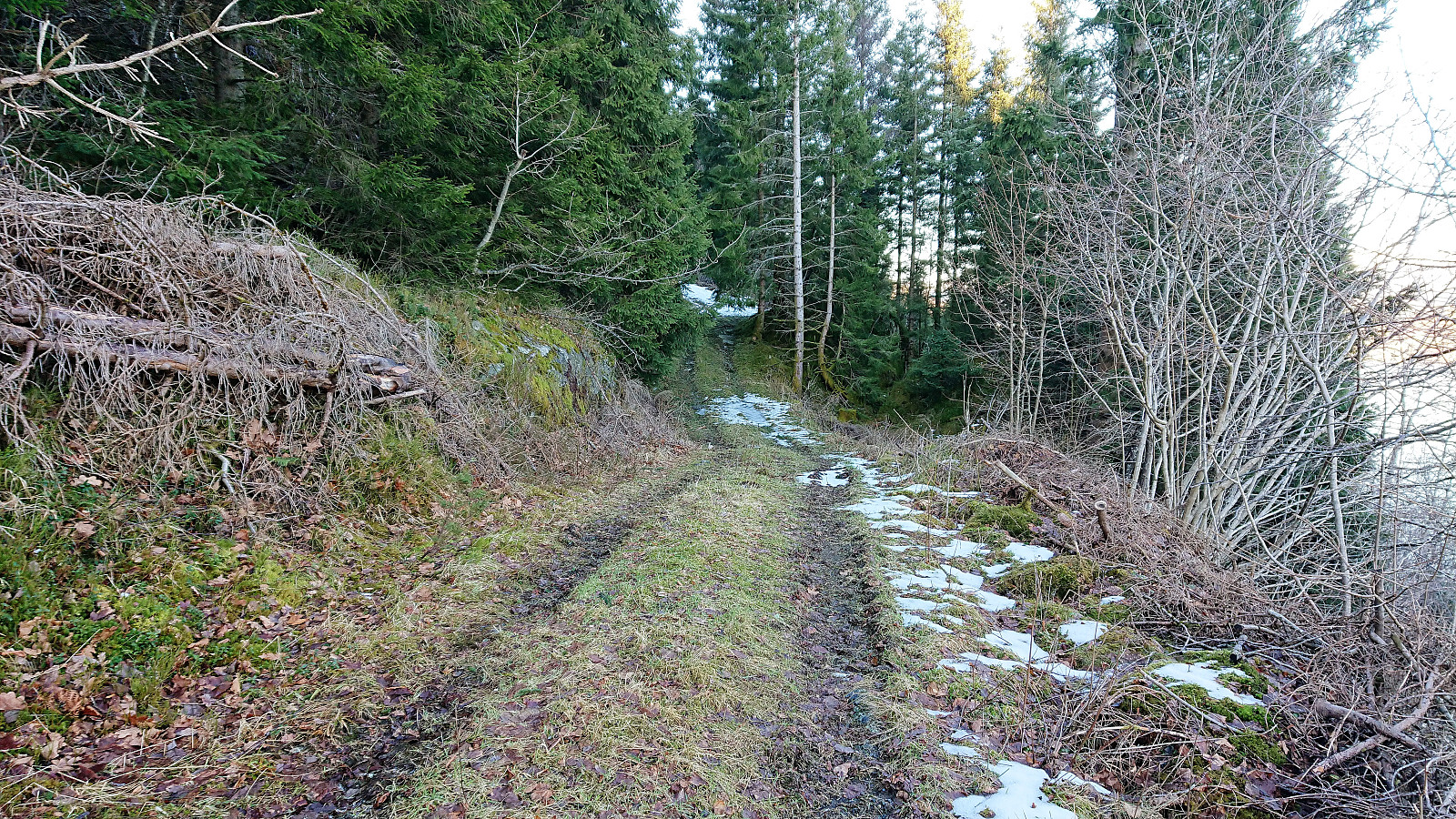
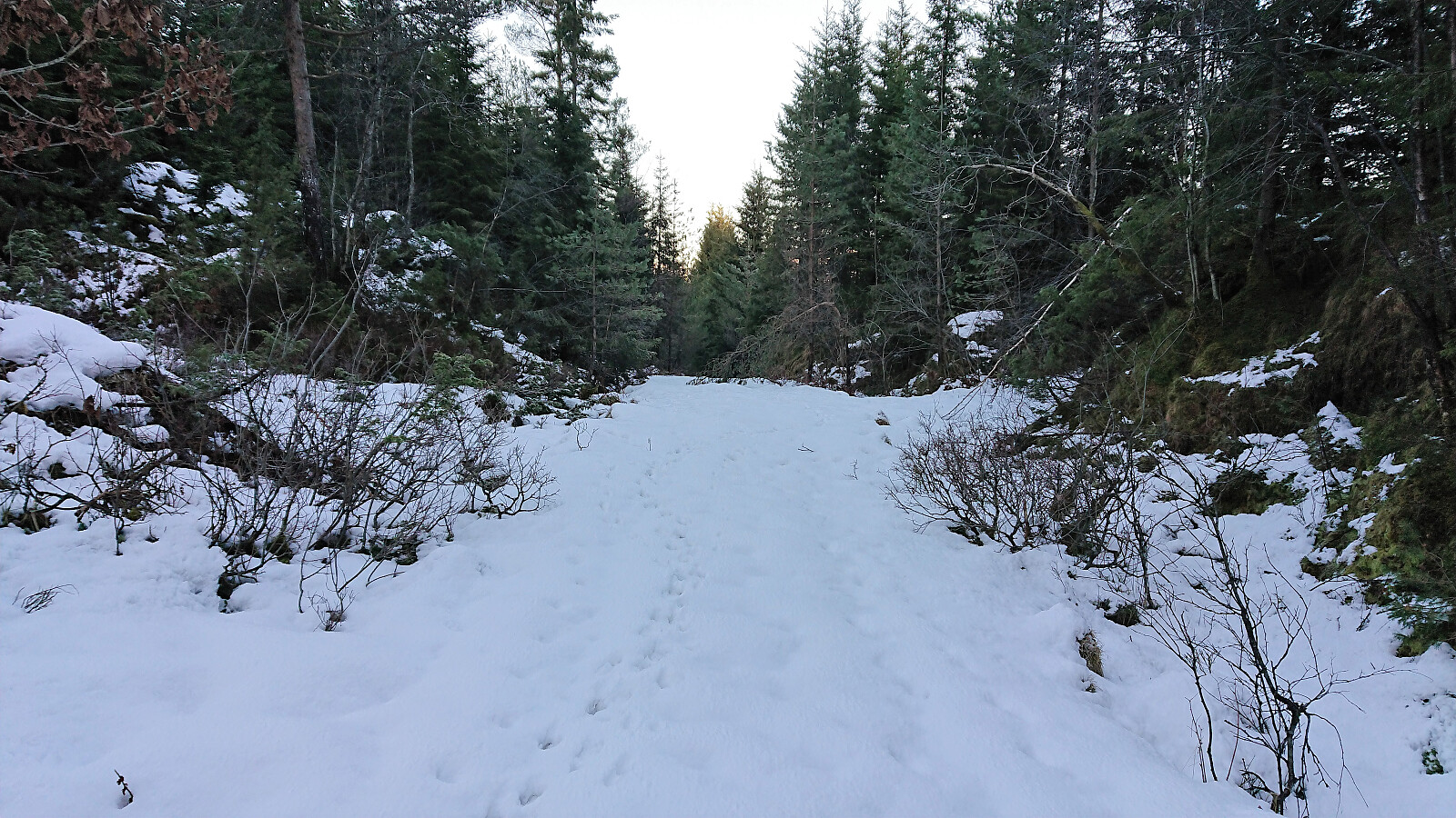
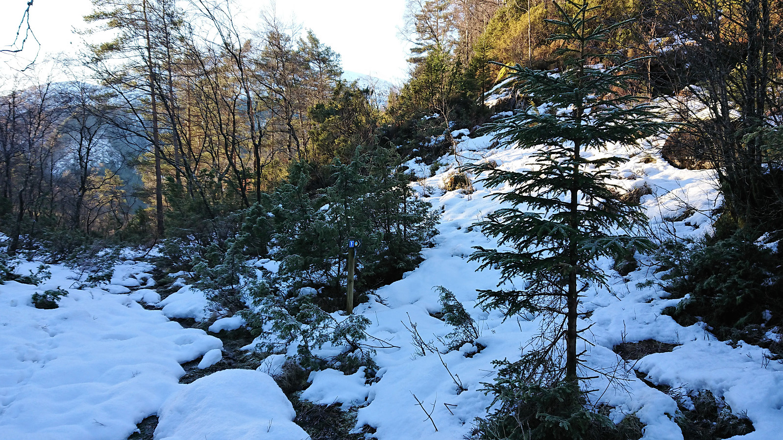
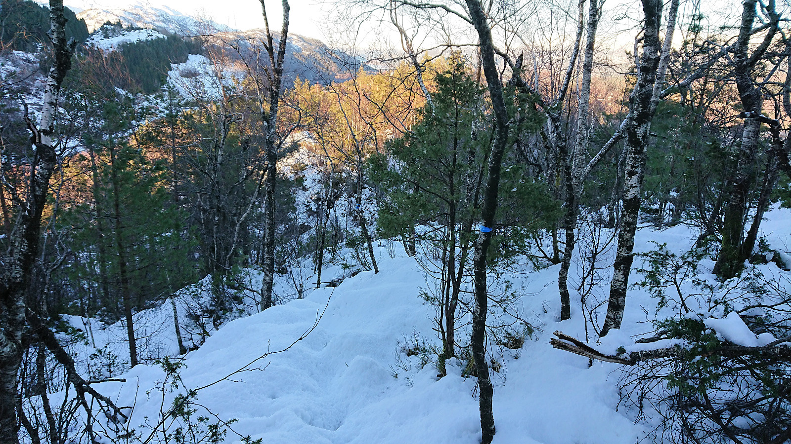
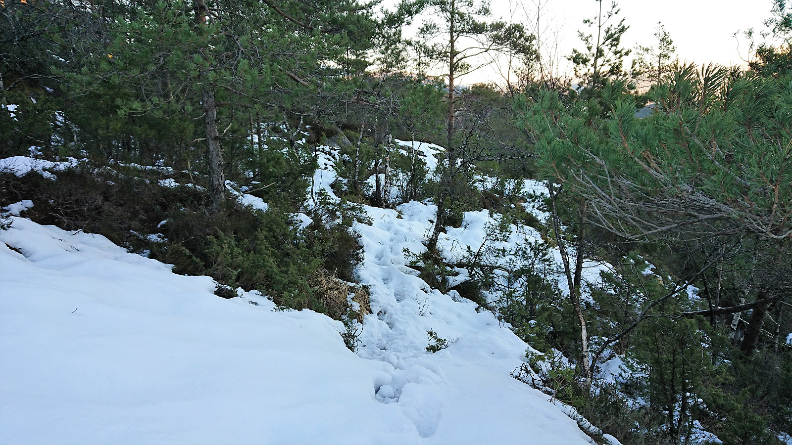
The initial gravel road turned into a tractor road as soon as I passed the last houses, and to my surprise the road then started to head downwards until finally turning north before coming to an end. Here the real trail started, which was also indicated by a small sign. Today the trail was partly hidden under the snow, and it split a couple of times, but overall it was fairly easy to follow.
The trail went over the smaller hill to the south of Storåsen before starting the final ascent towards the summit. As far as I could see, the marked trail did not go via the summit itself, but there was a separate trail heading towards the summit (see GPS track for details).
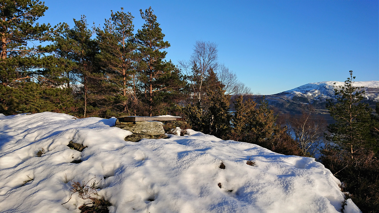
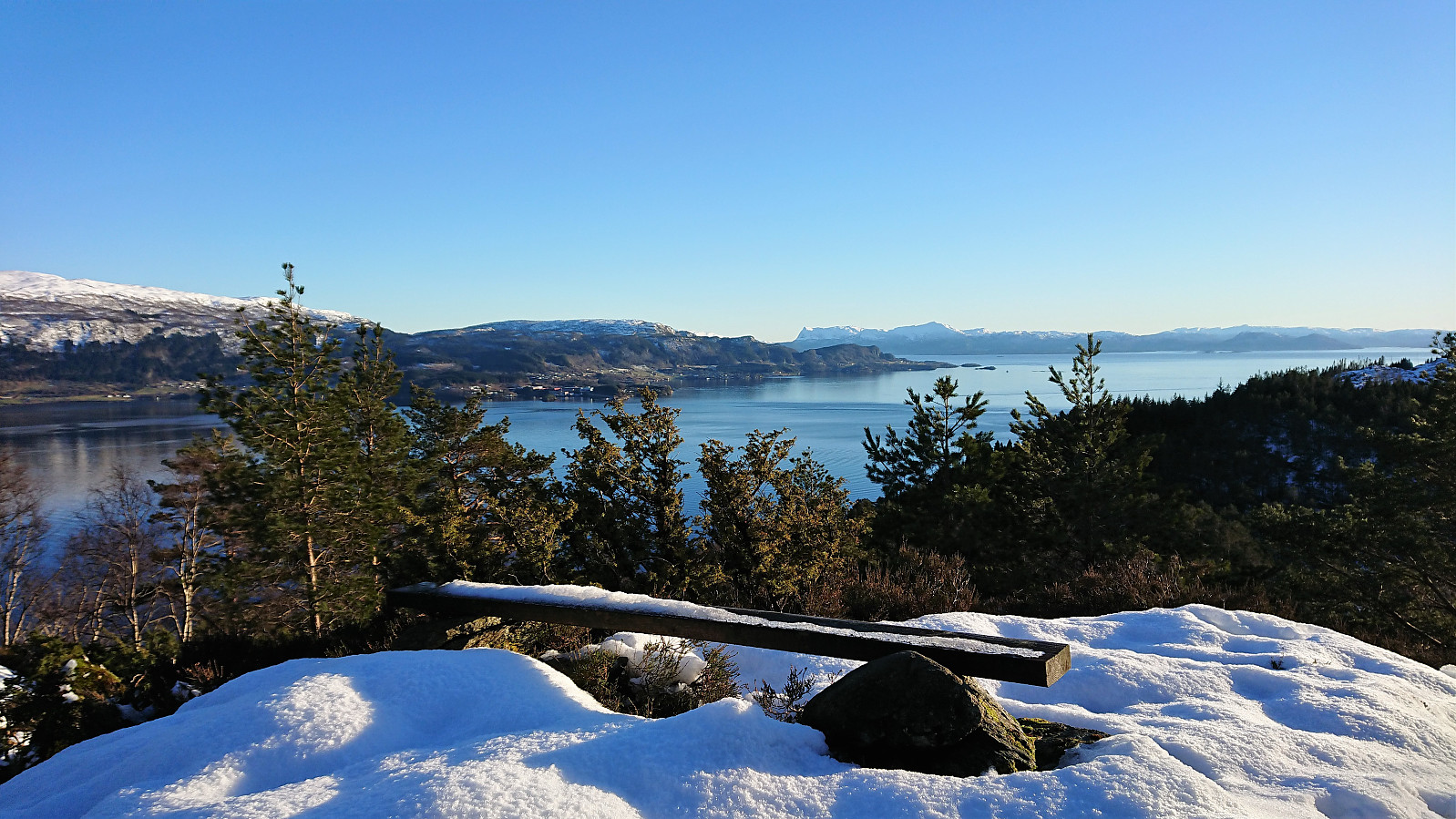
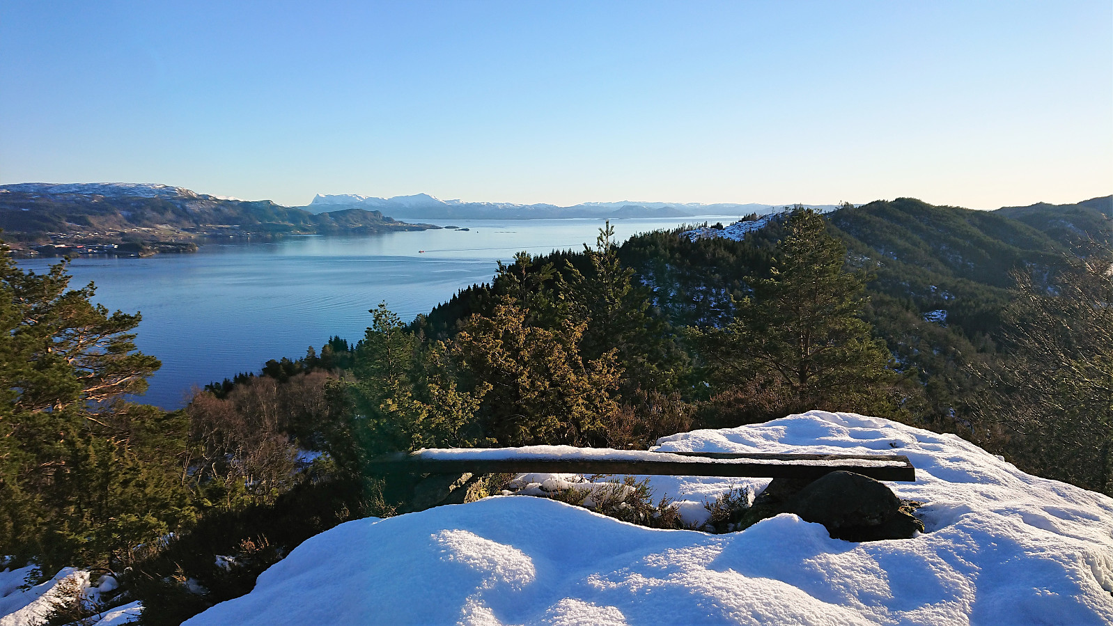
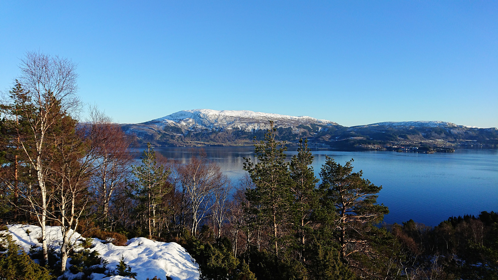
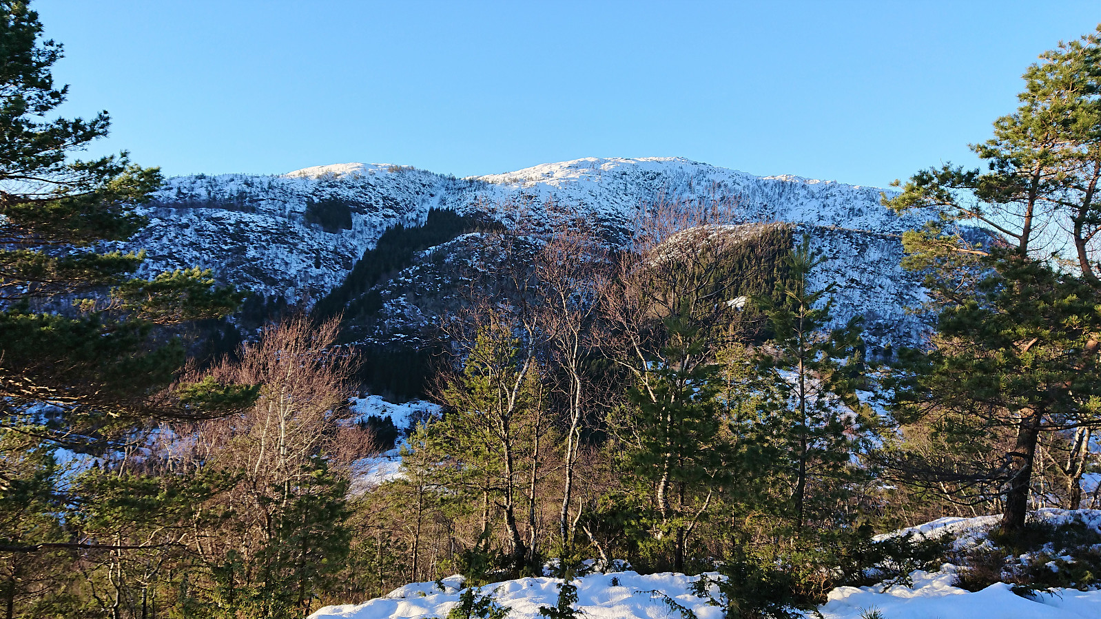
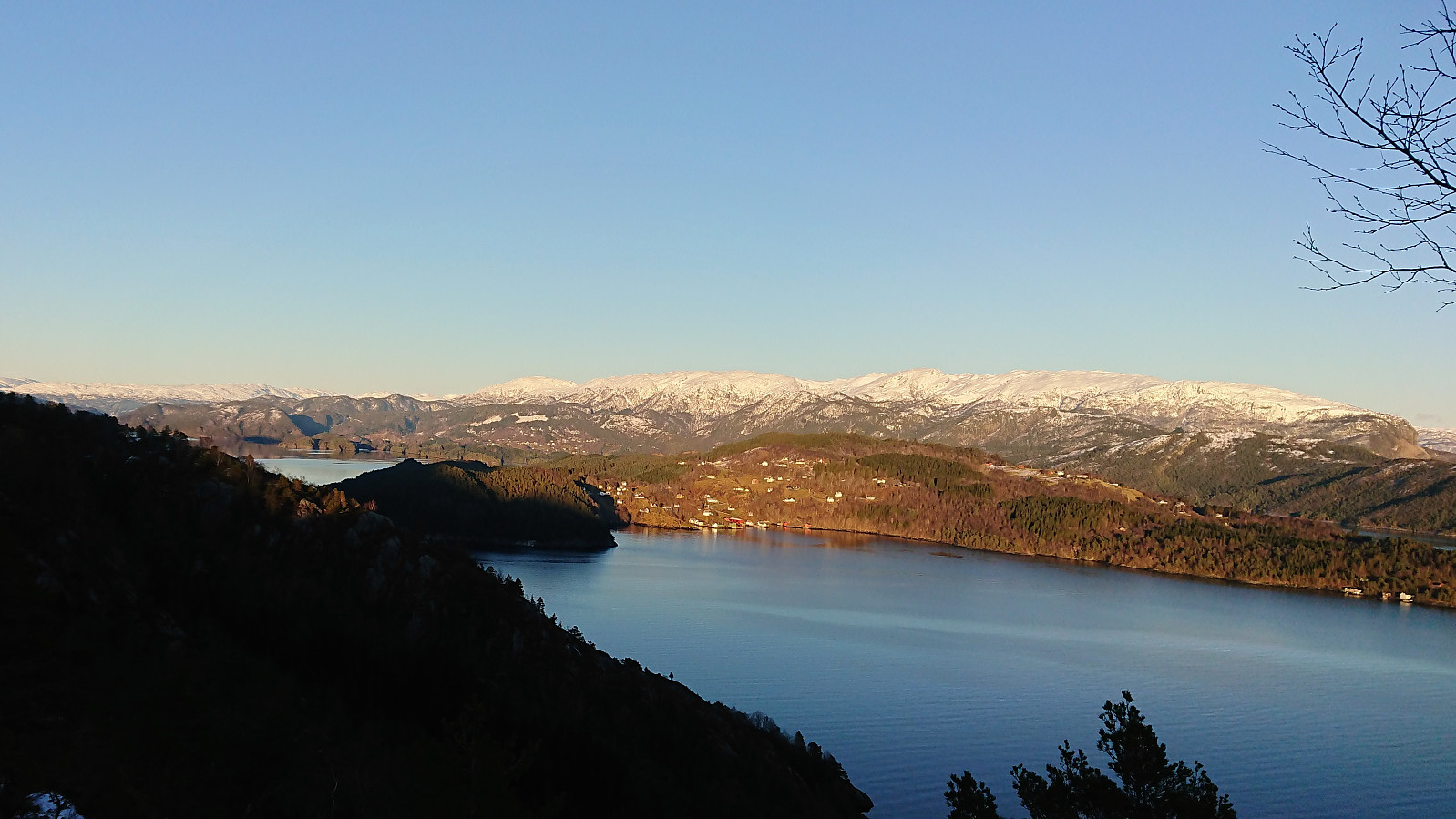
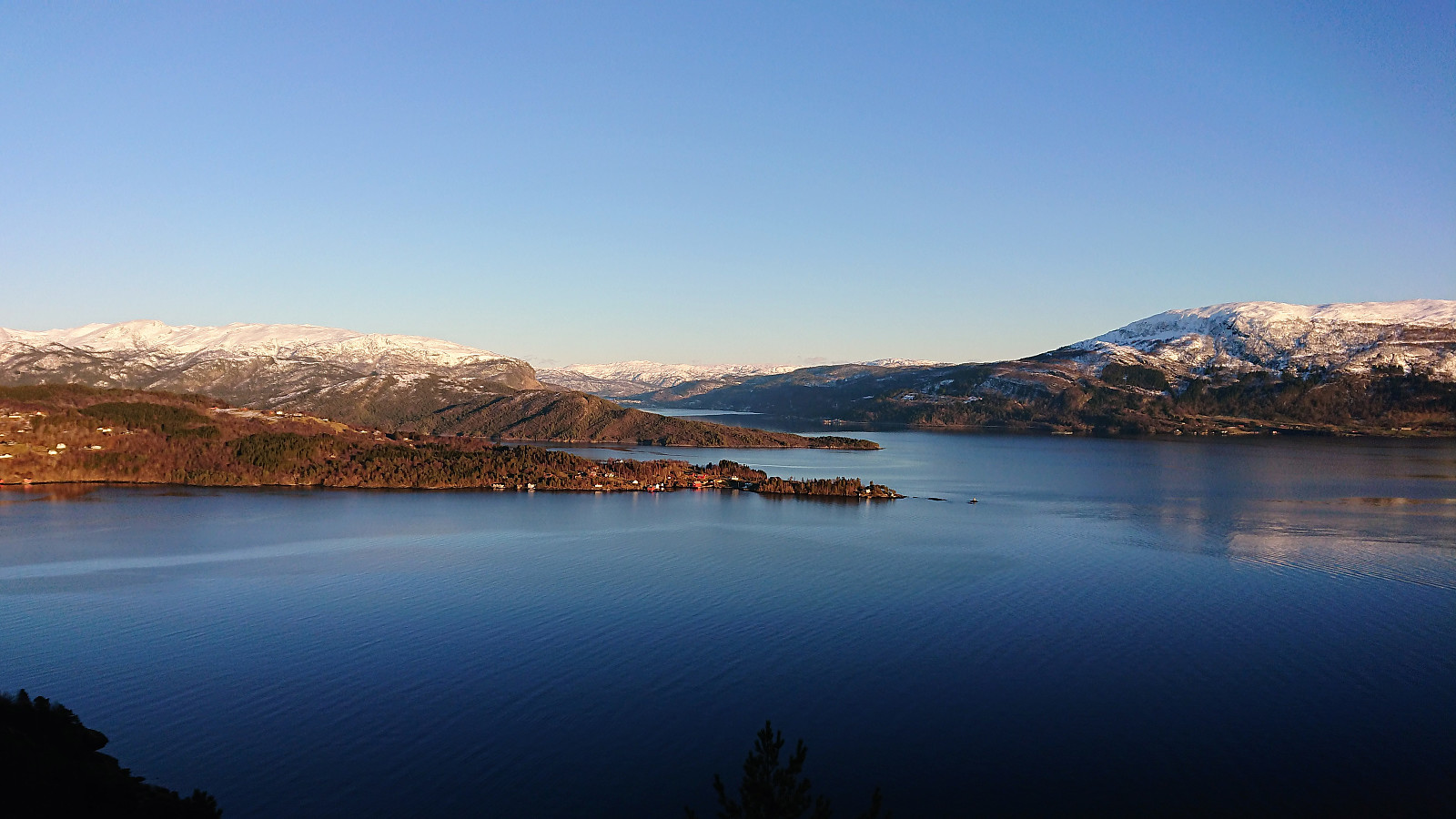
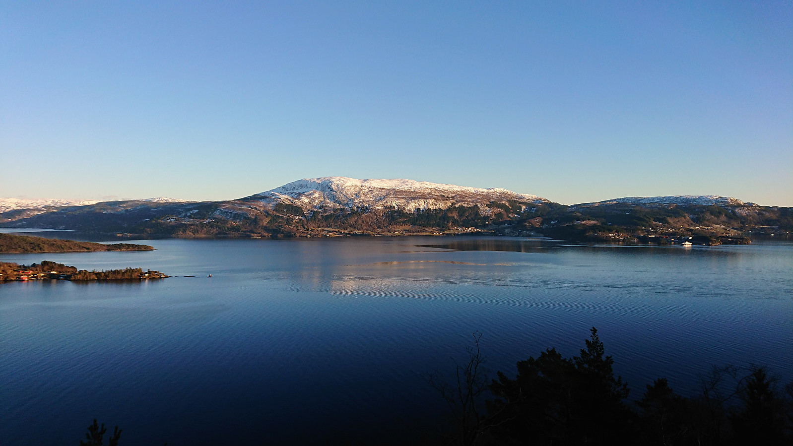
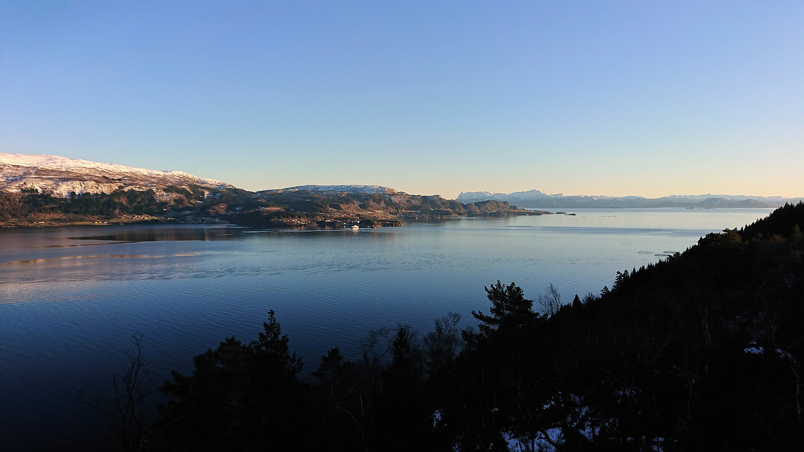
At the summit I enjoyed spectacular views, especially east/southeast towards Fusafjellet and Tysnessåta, but Møsnuken and Rødsfjellet could also be spotted to the west/northwest. Overall, very highly recommended!
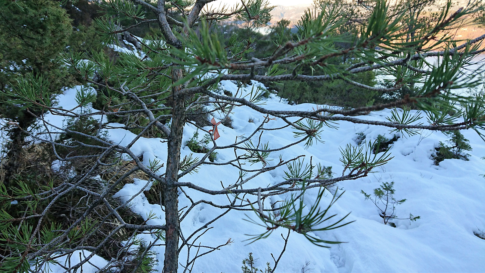
I tried to continue northeast along the ridge, but even though there were some blue markers in the trees, I quickly lost the trail (or rather the blue markers, the trail was in any case hidden under the snow), and as this area was rather steep, I decided to instead head back to the summit and follow the same route back to where I left the marked trail when heading for the summit.
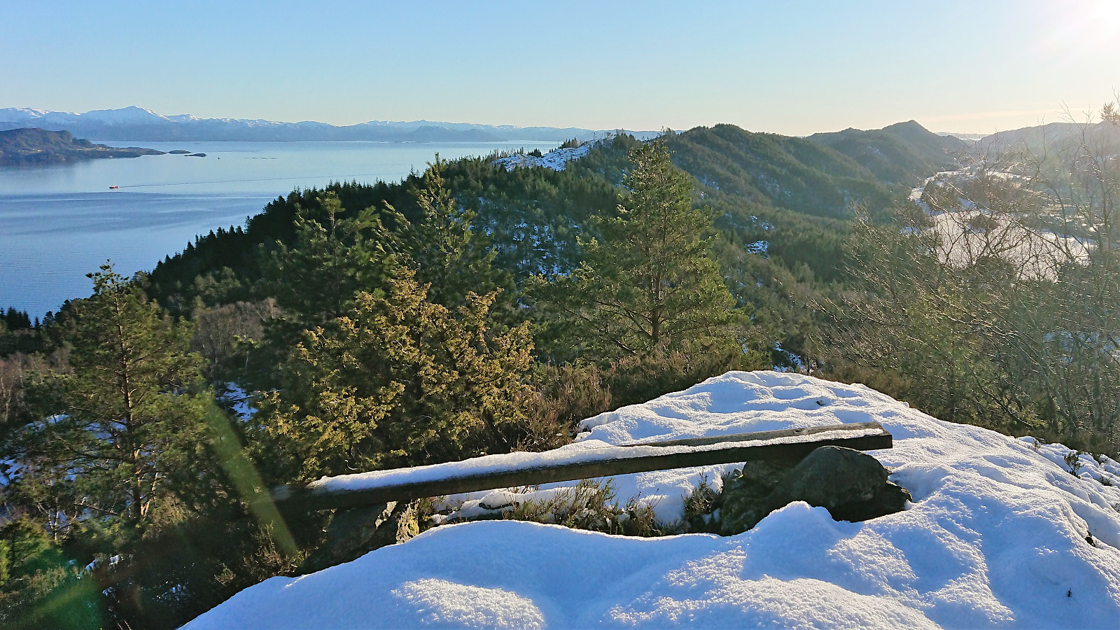
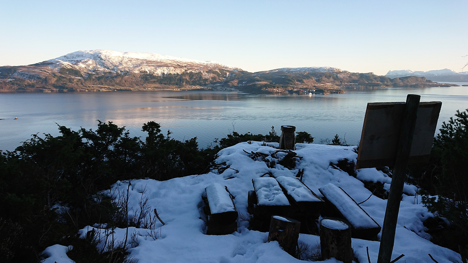
After not too long I came across a marked viewpoint called Pers plass, which provided more excellent views towards Fusafjellet and Eikelandsfjorden, but also further up Samnangerfjorden. Clearly worth a visit if in the area.
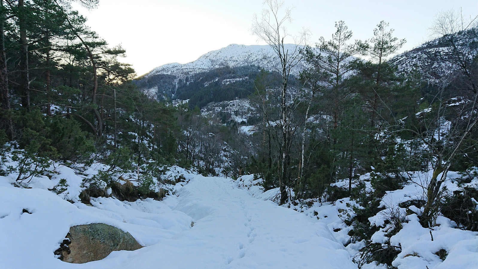
The trail continued north until finally connecting with a tractor road which I then followed down to the main road. Upon reaching the road I still had half an hour until the bus, so I started walking along the road in the direction of Osøyro, making it to “Hegglandsdalen skule” before taking the bus back to Bergen.
In summary, an excellent hike that can be very highly recommended. Although it is perhaps best to do this hike when the trail is more easily visible, in other words not hidden by snow, as the marking of the trail left a bit to be desired. Red/brown plastic markers in/on brown trees is perhaps not the best combination...
Note that there is also a potential longer version of this hike that ought to be considered: https://www.ut.no/tur/2.16850.
| Startzeitpunkt | 19.02.2018 15:42 (UTC+01:00) |
| Endzeitpunkt | 19.02.2018 17:23 (UTC+01:00) |
| Gesamtzeit | 1h 40min |
| Zeit in Bewegung | 1h 24min |
| Pausenzeit | 0h 16min |
| Gesamtschnitt | 3,3km/h |
| Bewegungsschnitt | 3,9km/h |
| Entfernung | 5,5km |
| Höhenmeter | 290m |

Benutzerkommentare