Tverråsen from Hatvikvegen (27.01.2018)

| Startsted | Hatvikvegen (16moh) |
|---|---|
| Sluttsted | Klyva (60moh) |
| Turtype | Fjelltur |
| Turlengde | 2t 10min |
| Distanse | 8,4km |
| Høydemeter | 410m |
| GPS |
|
| Bestigninger | Tverråsen (222moh) | 27.01.2018 |
|---|
Tverråsen from Hatvikvegen
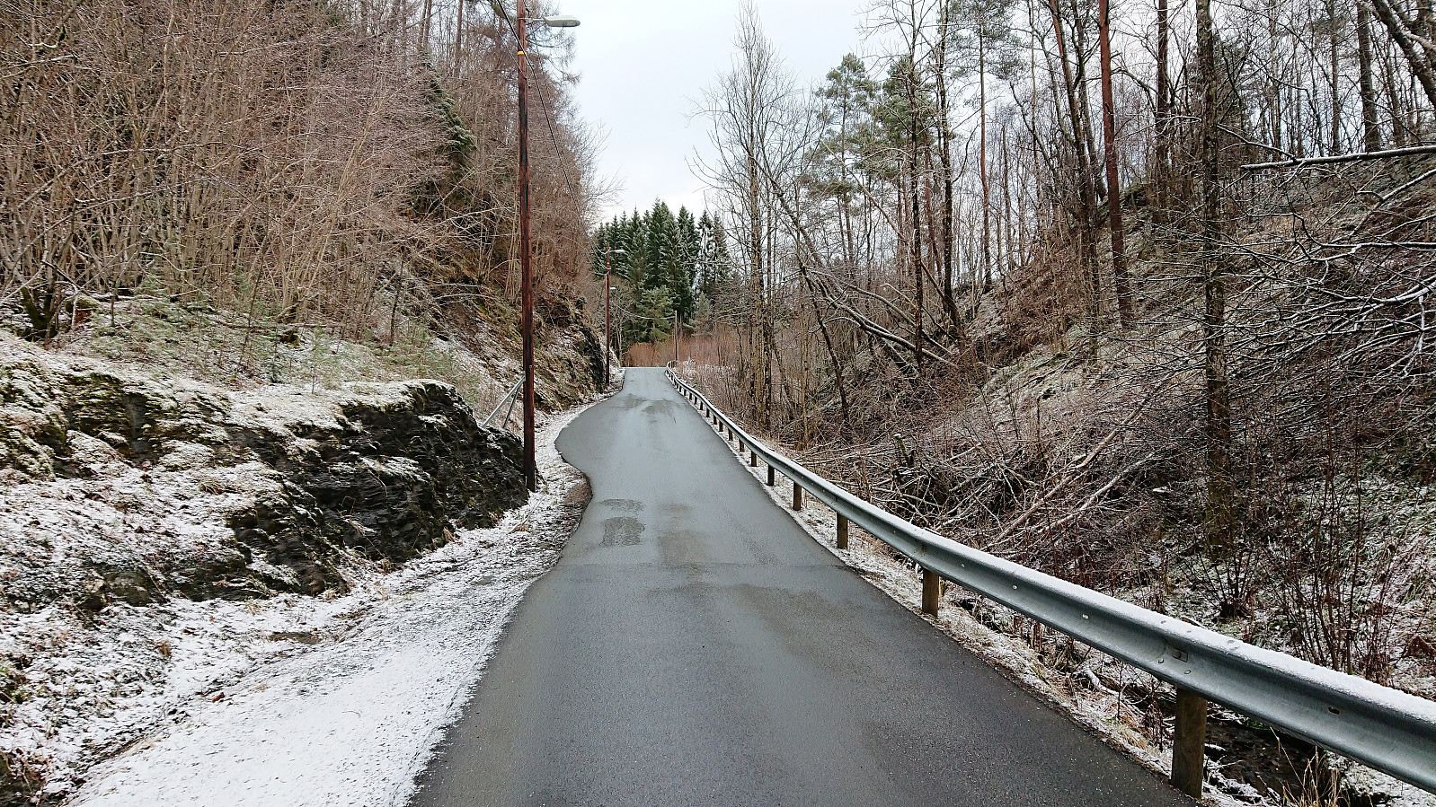
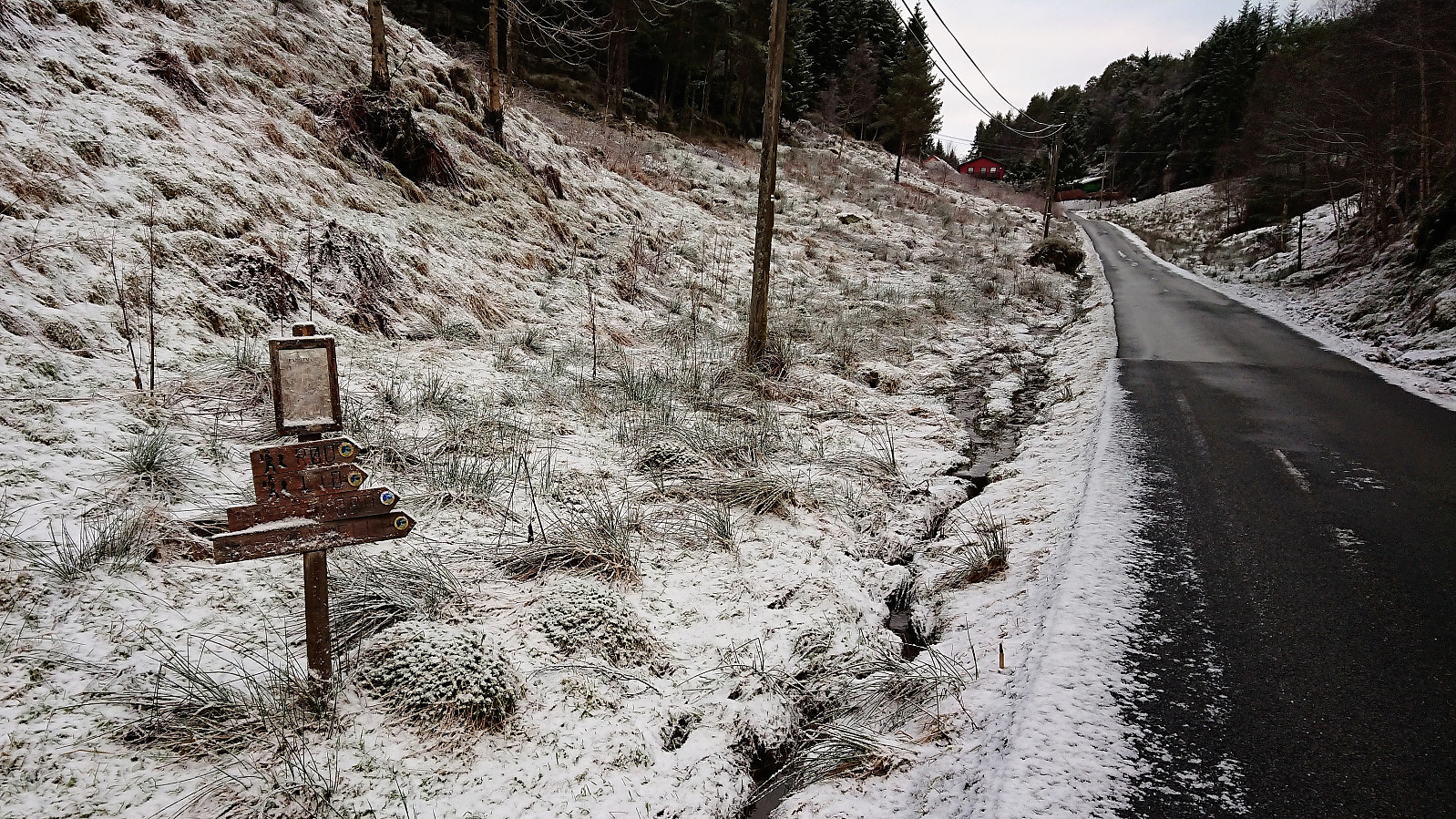
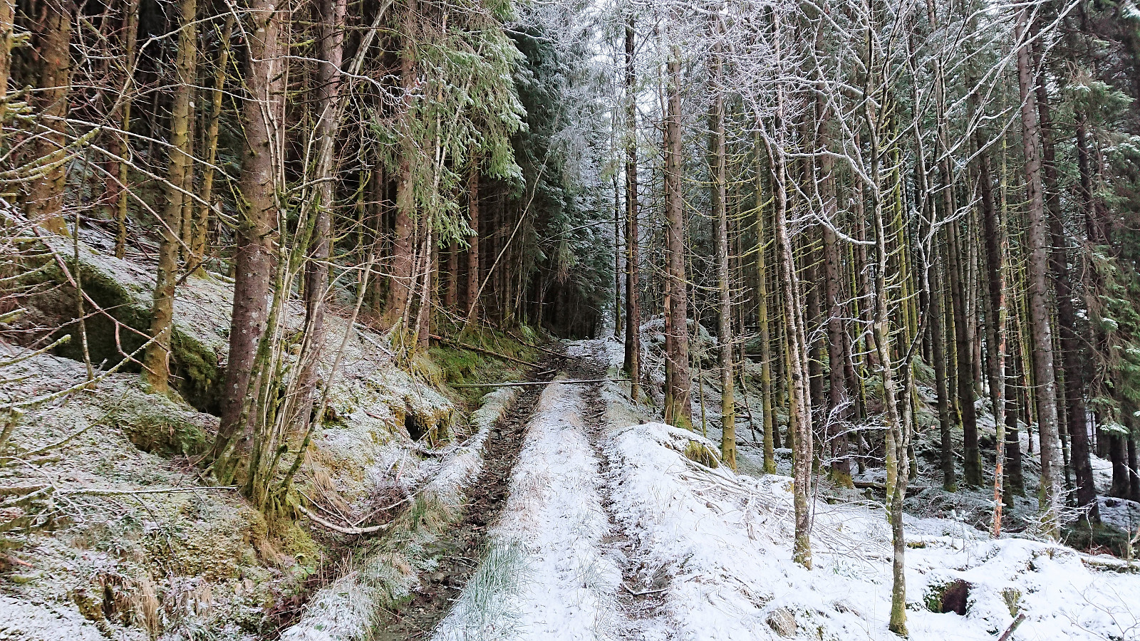
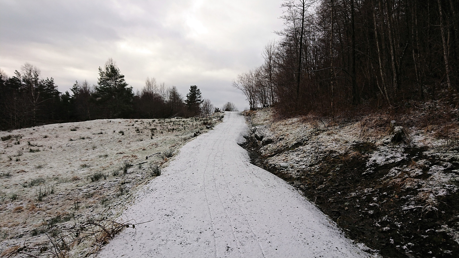
Started by taking the bus to Hatvik (bus stop called Holo) and walked up the paved road in the direction of Tverråsen. The plan had been to follow the road until reaching the gravel road, but after about 1 km I came across a couple of hiking signs indicating a shortcut (which I could also find on the map). It started out as a tractor road, but more or less disappeared before connecting with the gravel road.
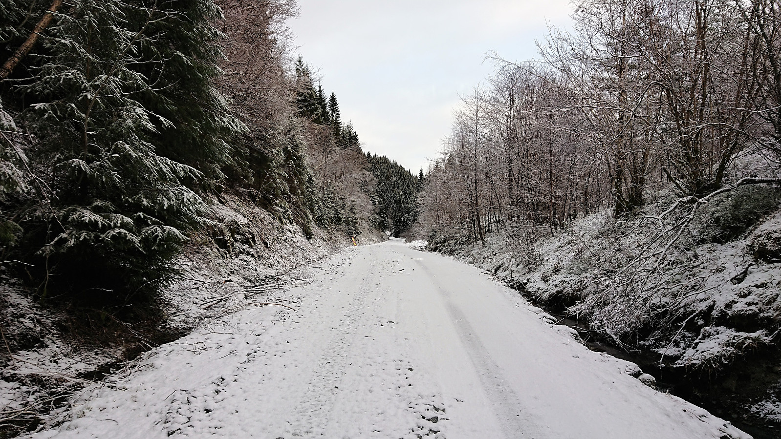
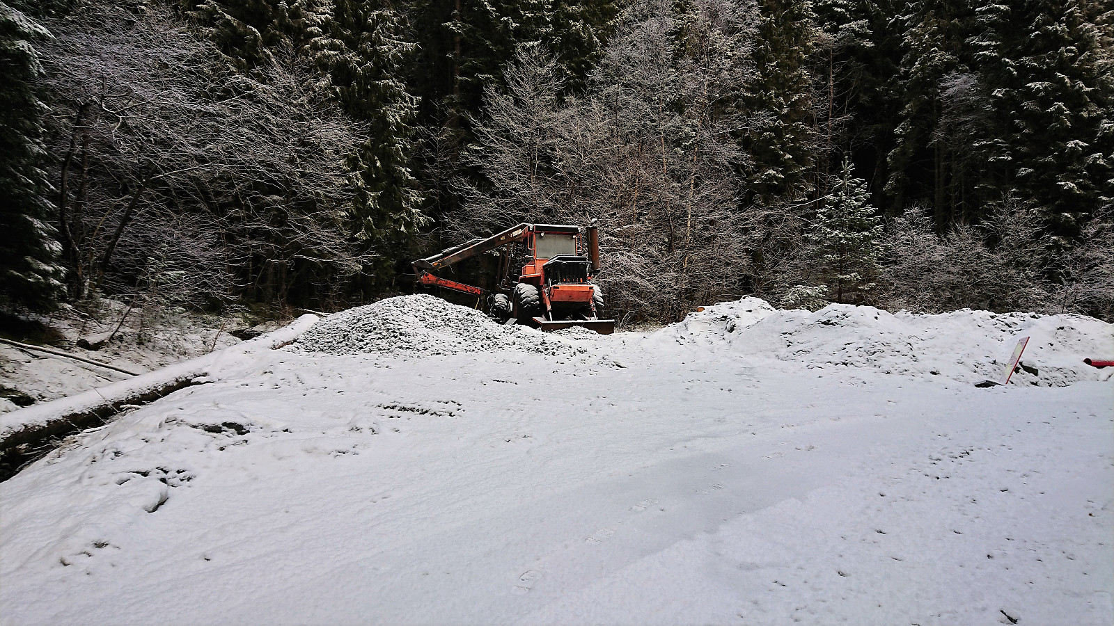
I then followed the gravel road until reaching the crossroads indicated on the map. The crossroads was a bit hidden, partly due to a small excavator, but it is located more or less where the gravel roads starts descending. After locating the tractor road behind the excavator, I continued northeast until reaching a second crossroads where I turned north (left) and later southwest towards the highest point of Tverråsen.
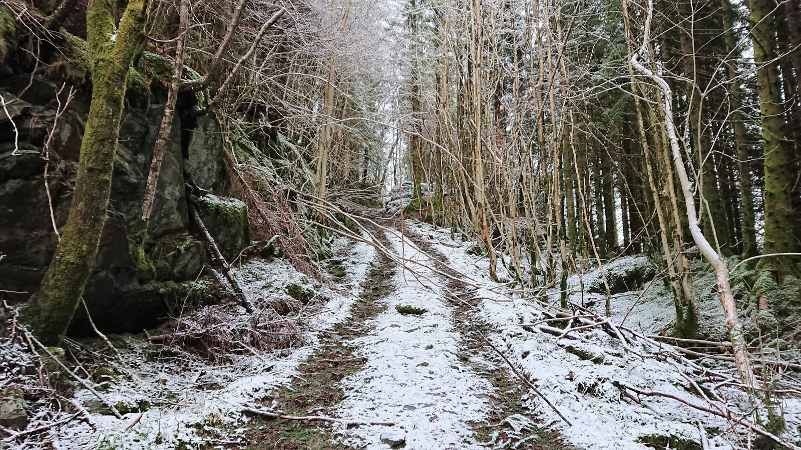
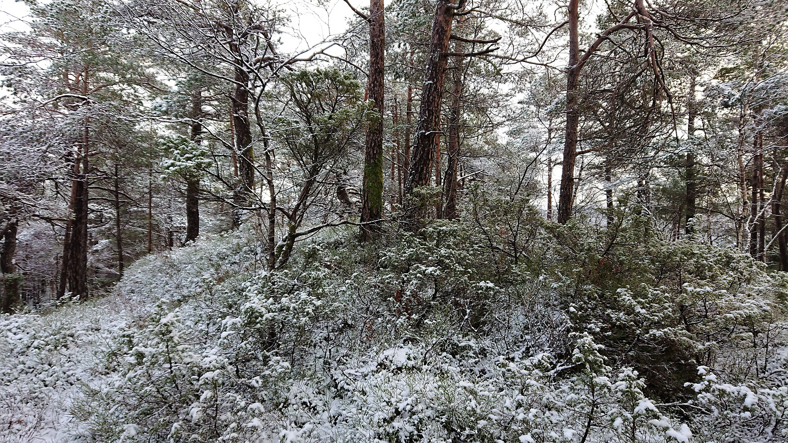
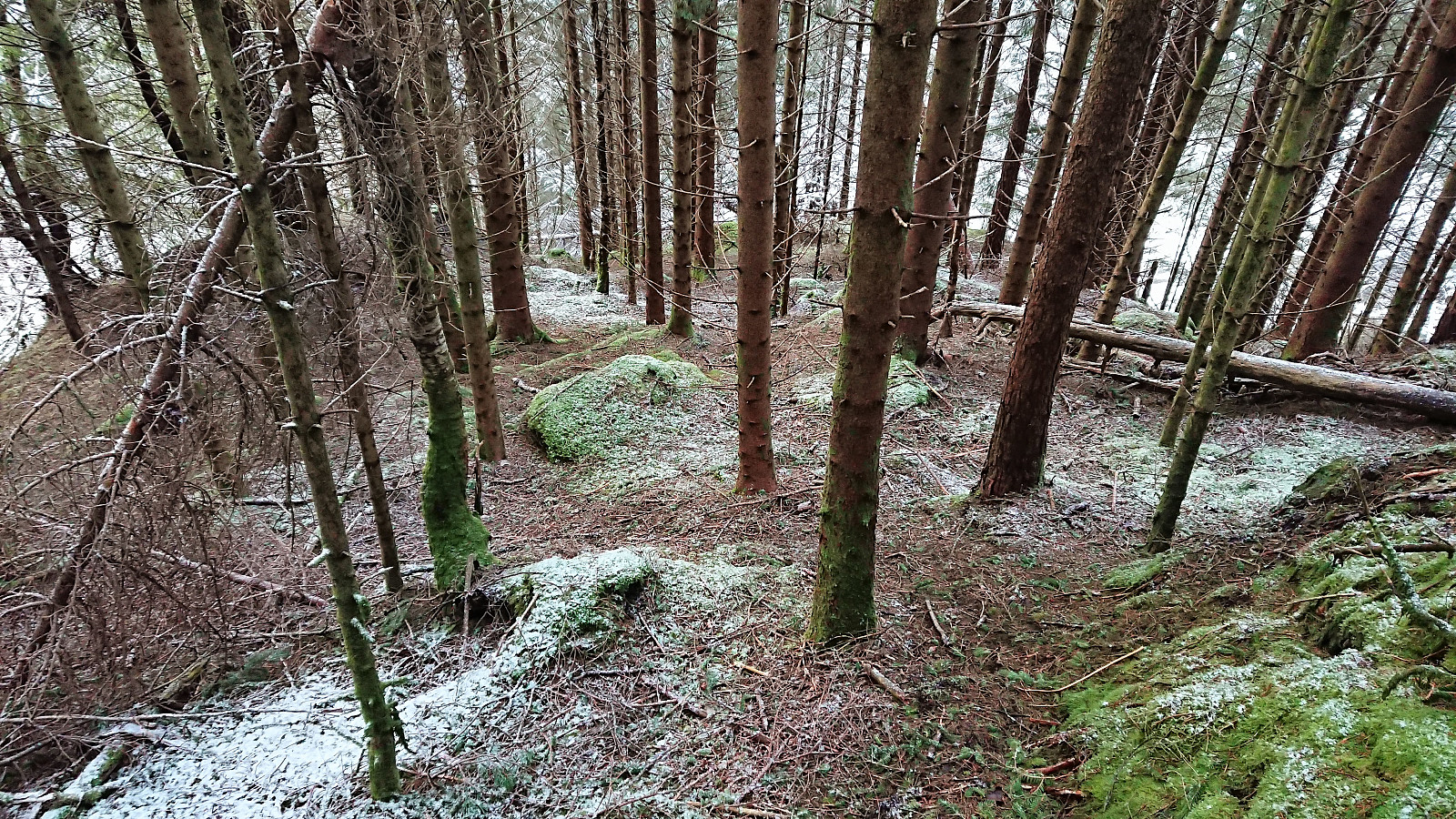
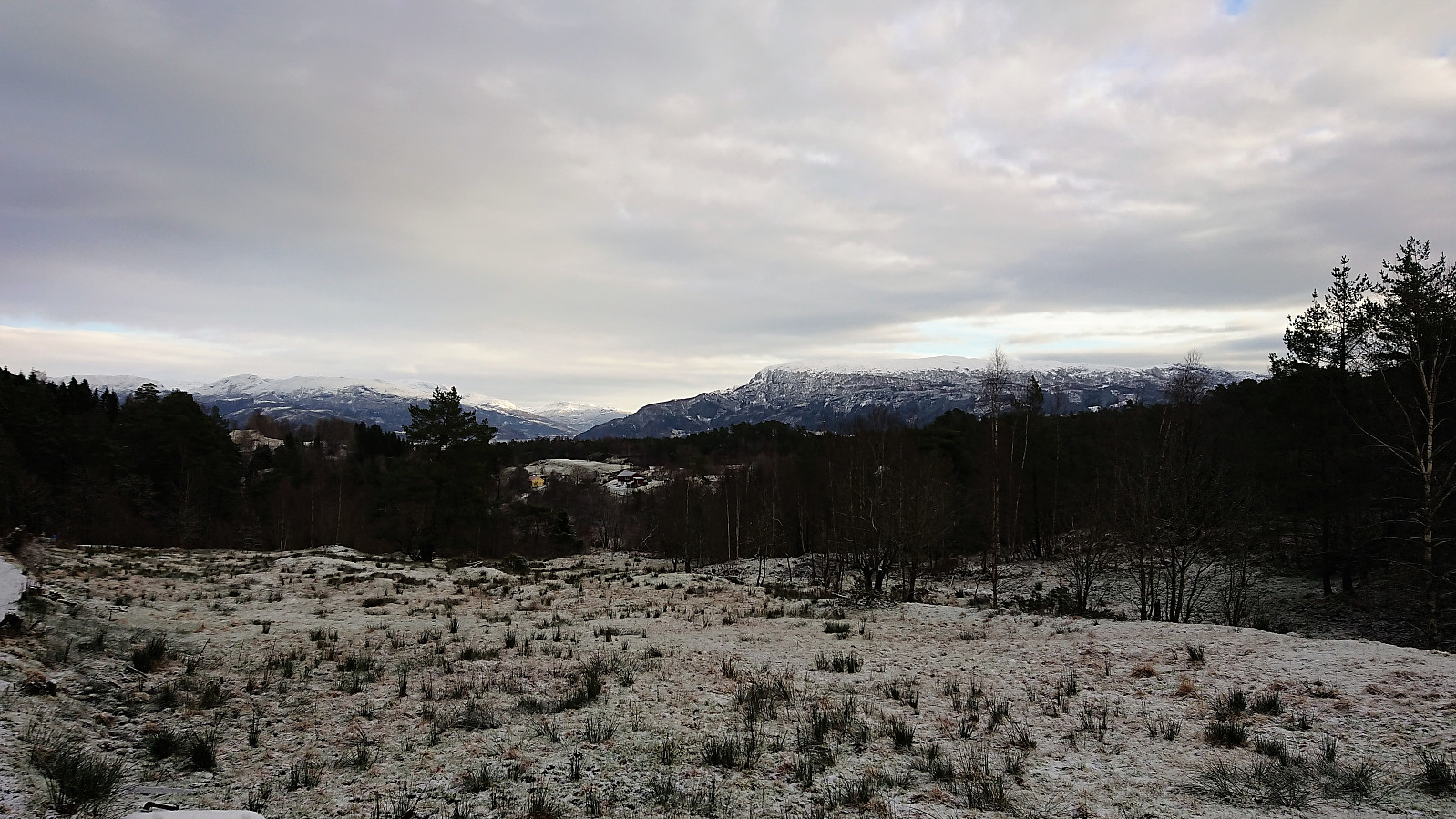
Could not find any trails to the summit, but as it was only 50-60 meters from the tractor road it was still straightforward to get to. No markers of any kind, and very limited views due to all the trees. Møsnuken could however be spotted in between the trees. I quickly returned to the tractor road and decided to continue southwest instead of going back the same way. Just before the tractor road ended I started along numerous weak trails/deer tracks until getting back down to the crossroads with the excavator.
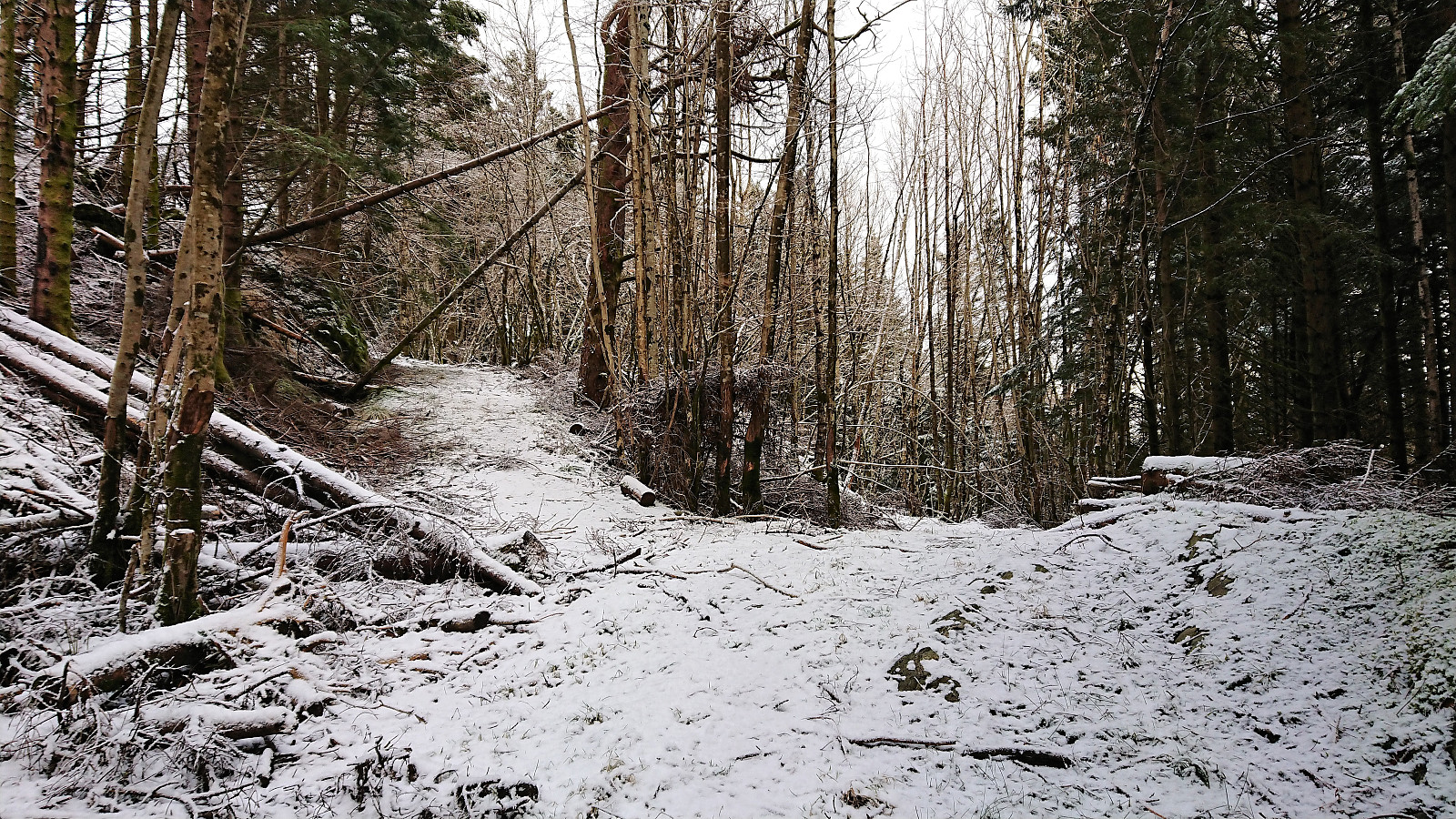
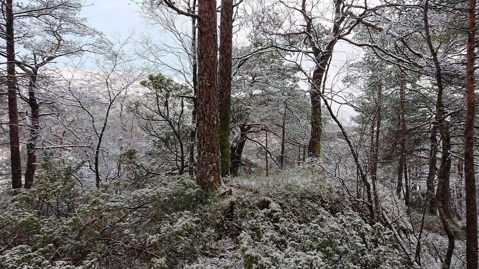
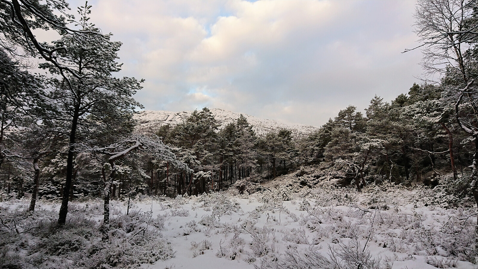
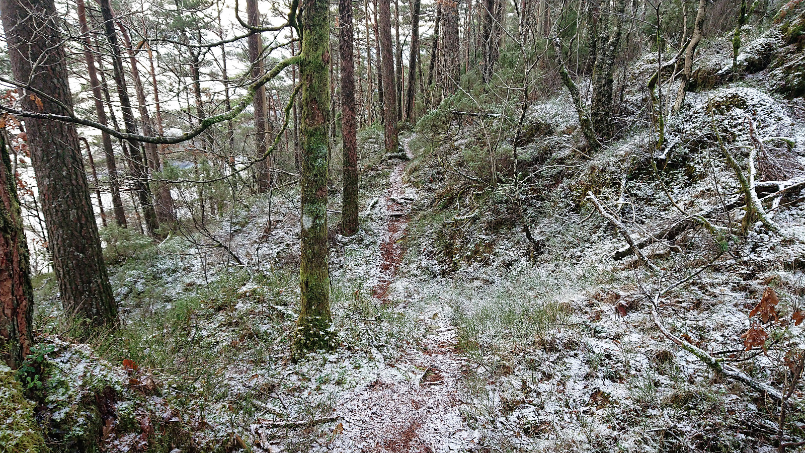
Given the complete lack of views at the summit, I decided to try a different route back to Hatvikvegen, hoping for some better views along the way. I therefore followed the unmarked trail to Skjenet (and through Floget naturreservat), which in the end connected with the tractor road coming up from the west. The trail split multiple times and was rather weak, however this did improve when the trail turned west. The views were still quite limited, but the trail did contain a couple of good spots where decent views could be obtained.
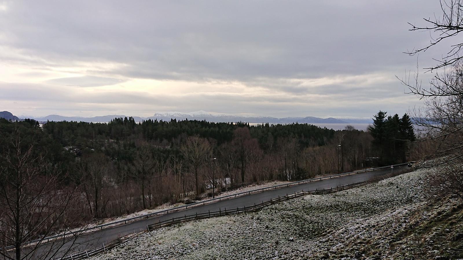
The tractor road took me back to the paved road, and shortly I was back at the bus stop, only to notice that I was almost half an hour too early. I briefly considered walking west along the main road, but luckily I first checked the map and located a parallel gravel road just north of the main road, which I followed instead. This ended up being a very good choice, as it provided excellent views towards the mountains across the fjord. I made it to Klyva before taking the bus back to Bergen.
In summary, Tverråsen will most likely be a one-time visit due to the very limited views. But if one is planning to go to Tverråsen, the hike detailed in this report will most likely make it into a slightly more enjoyable trip. Just don't expect too much in terms of views until on the gravel road at the end.

| Starttidspunkt | 27.01.2018 09:58 (UTC+01:00) |
| Sluttidspunkt | 27.01.2018 12:09 (UTC+01:00) |
| Totaltid | 2t 10min |
| Bevegelsestid | 2t 04min |
| Pausetid | 0t 6min |
| Snittfart totalt | 3,8km/t |
| Snittfart bevegelsestid | 4,0km/t |
| Distanse | 8,4km |
| Høydemeter | 410m |

Kommentarer