Randifjellet, Vorlandstua and Tveitafjellet (20.01.2018)

| Start point | Førde (10m) |
|---|---|
| Endpoint | Skogsskiftet terminal (39m) |
| Characteristic | Hillwalk |
| Duration | 4h 27min |
| Distance | 11.2km |
| Vertical meters | 505m |
| GPS |
|
| Ascents | Randifjellet (240m) | 20.01.2018 |
|---|---|---|
| Tveitafjellet (138m) | 20.01.2018 | |
| Vorlandstua (216m) | 20.01.2018 |
Randifjellet, Vorlandstua and Tveitafjellet
Randifjellet
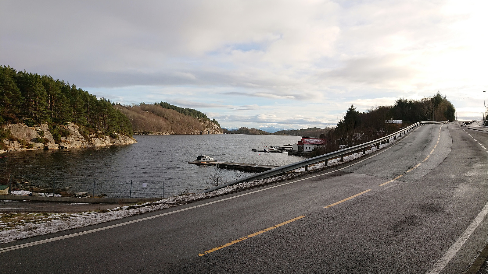
Started by taking the bus to Førde (bus stop Førdespollen) and walked up the paved road to the marked trailhead for Førdesveten. I followed the trail towards Førdesveten and started getting a bit worried about the amount of snow. I was not the first using the trail towards Førdesveten though, so this part was straightforward. However, upon reaching the crossroads with the sign for Randifjellet this would all change.
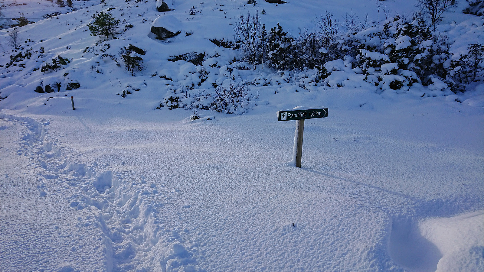
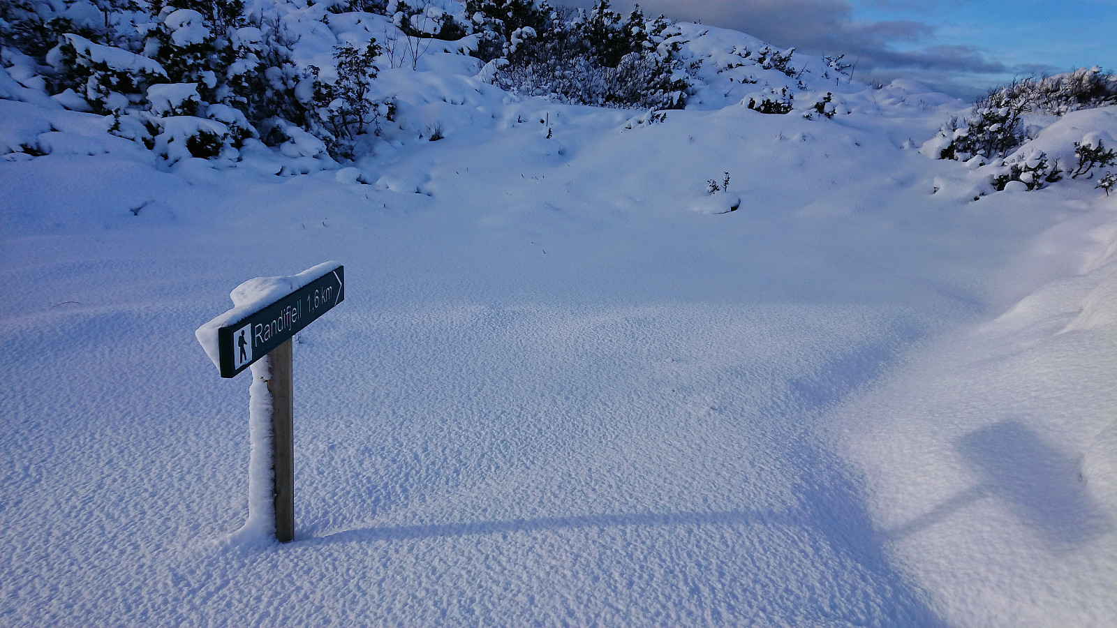
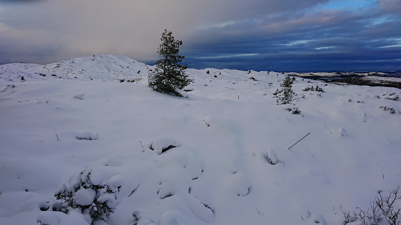
Apparently, nobody else had thought it a good idea to go to Randifjellet after the recent snow fall, and the trail was therefore not visible at all! I decided to give it a go anyway. However it quickly became clear that this was perhaps a bigger challenge than I had thought, and I was soon struggling with snow up to my knees (and sometimes even higher). Of the trail there was no trace, so I quickly abandoned the idea of following it and instead tried my best to make my own way in the direction of Randifjellet.
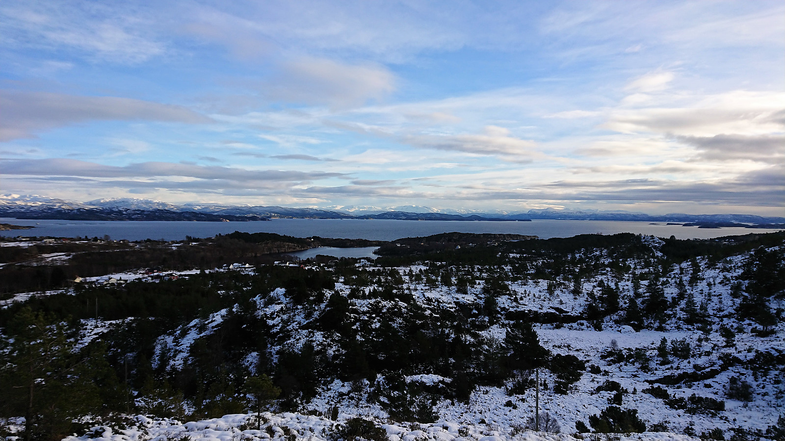
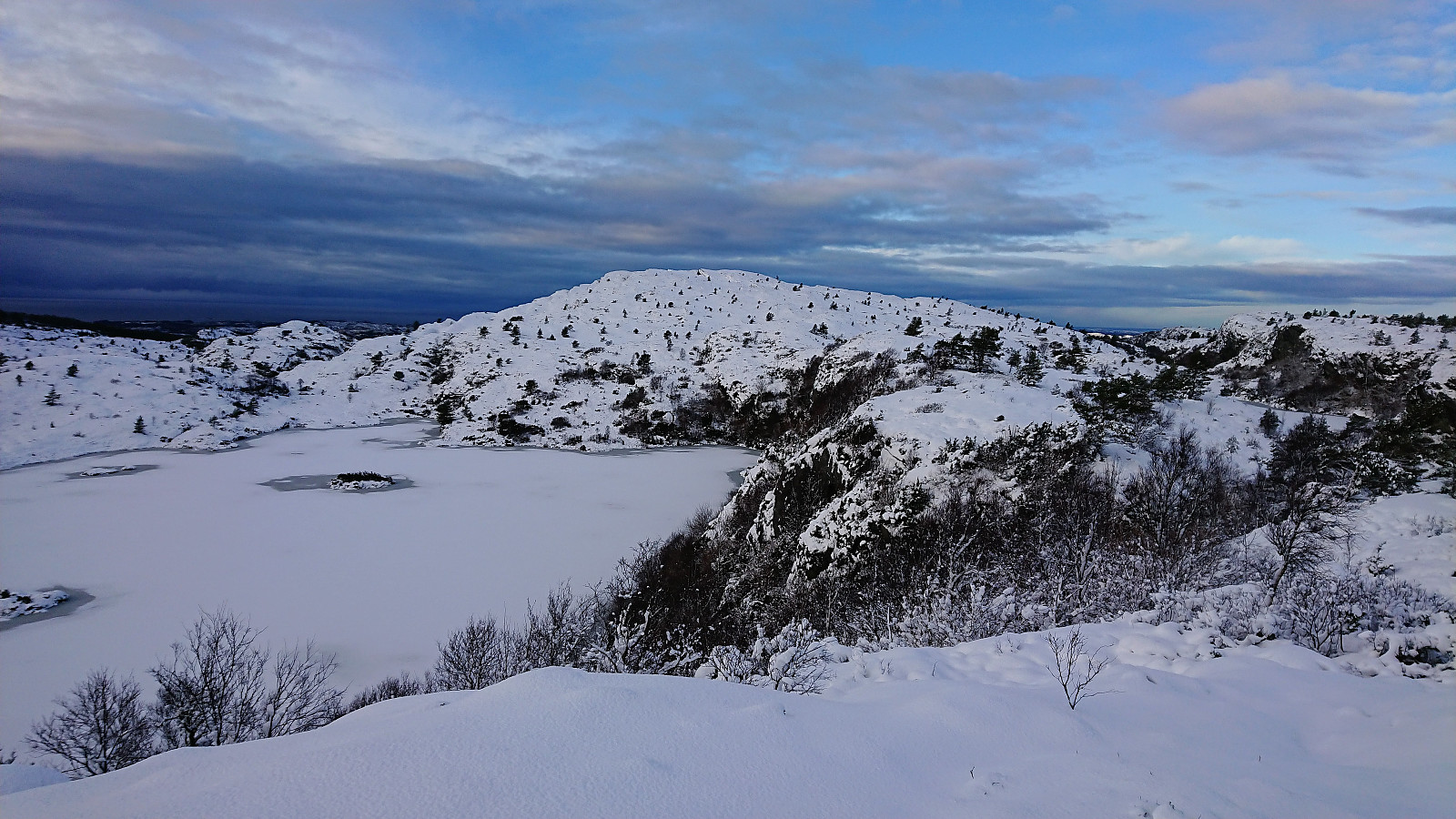
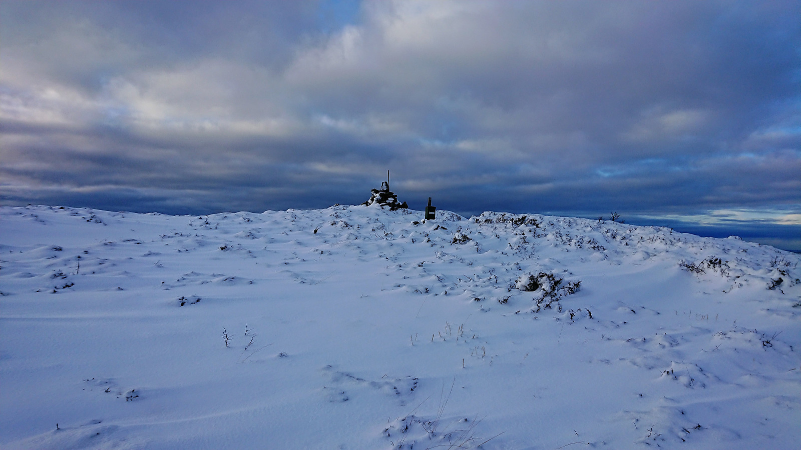
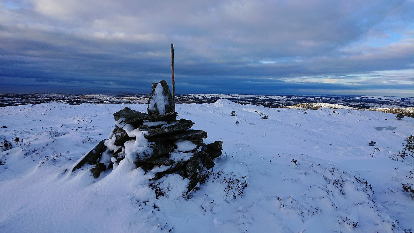
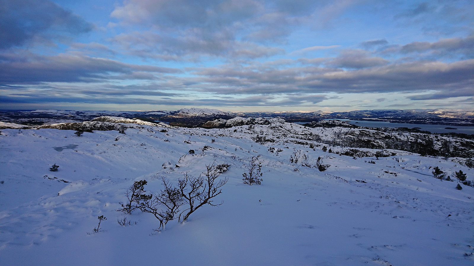
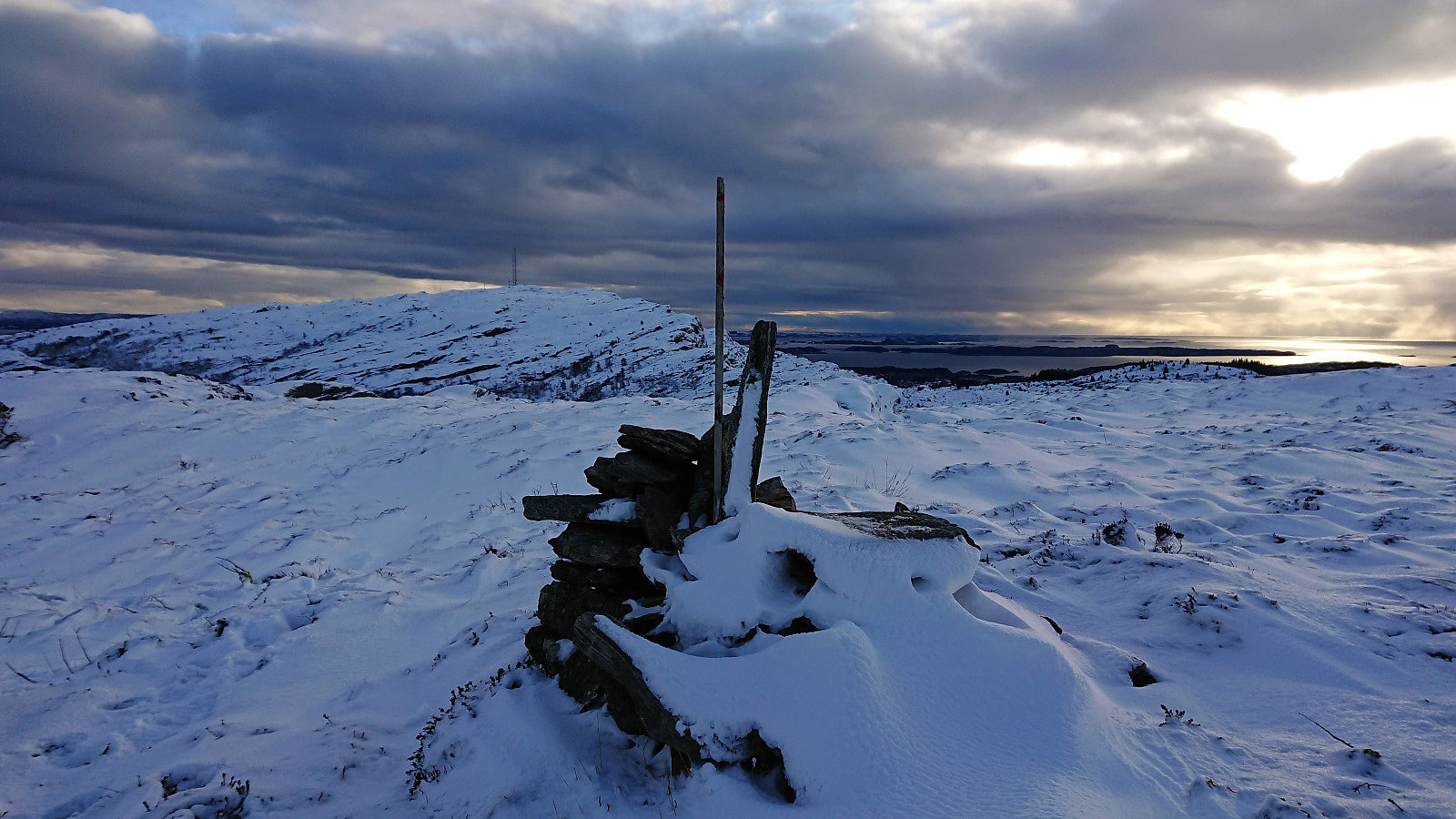
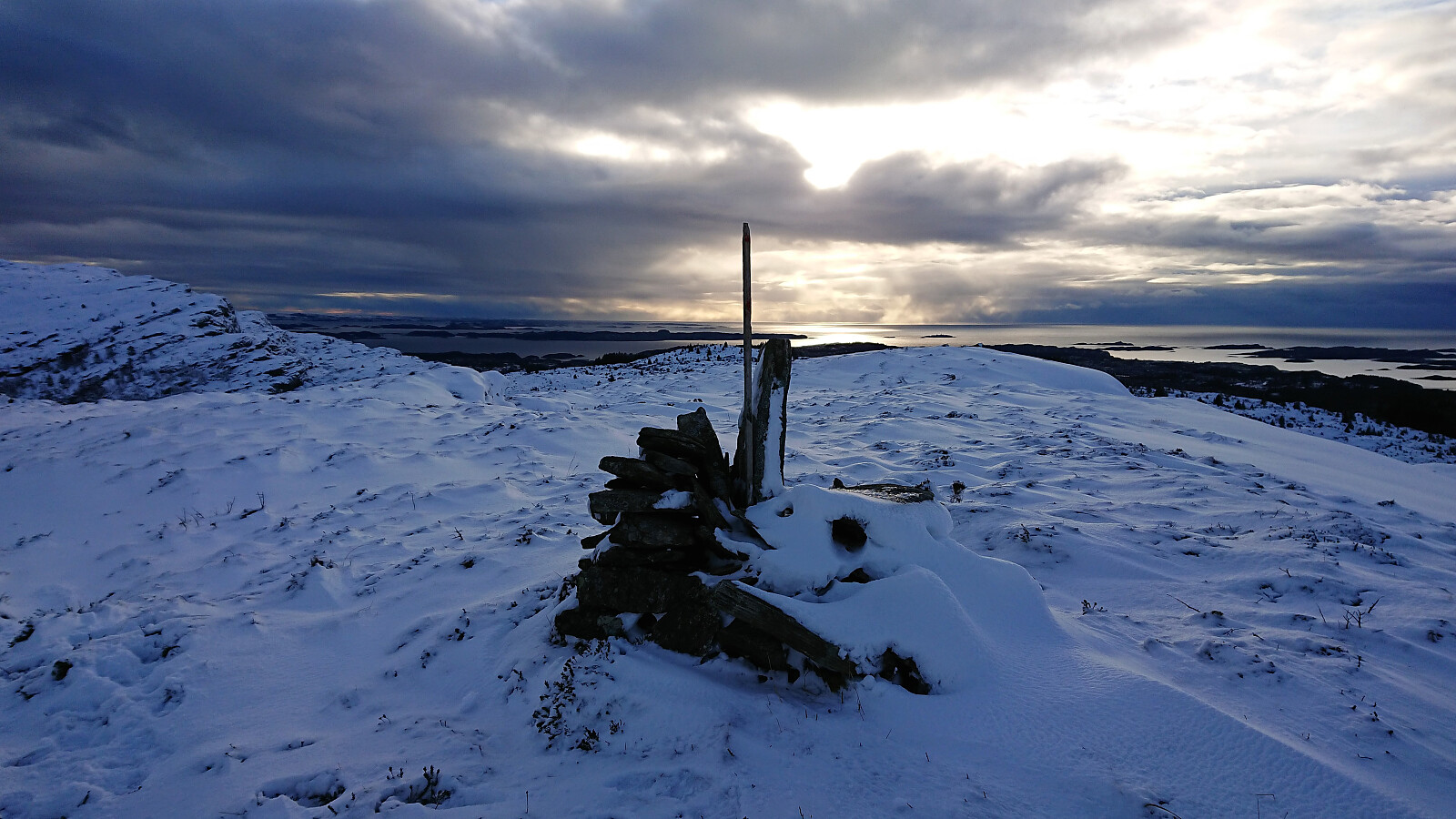
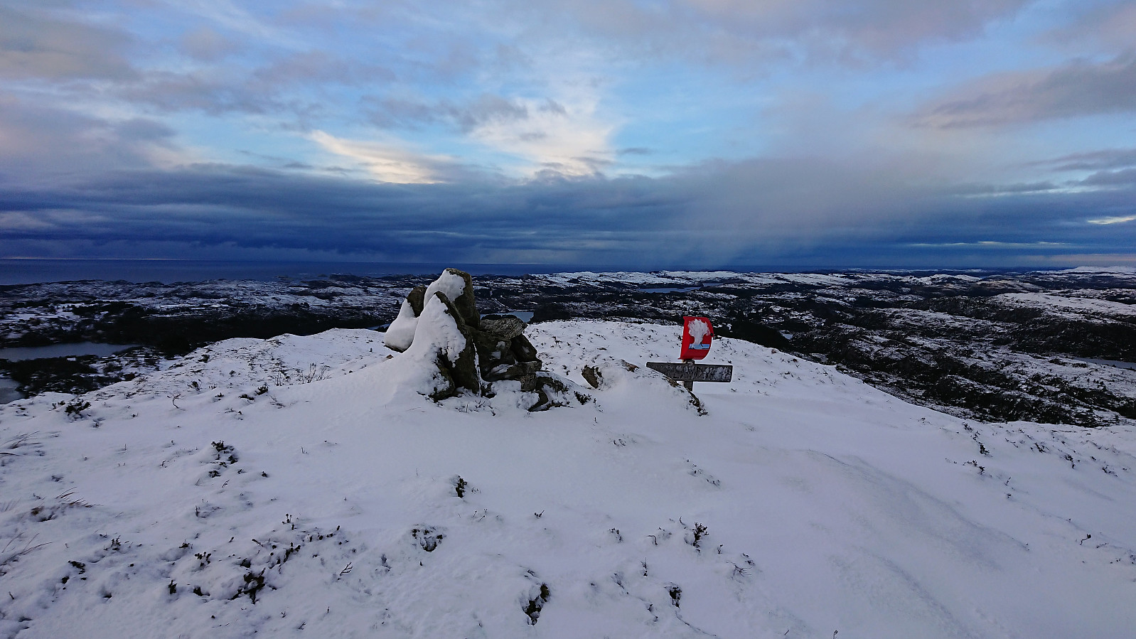
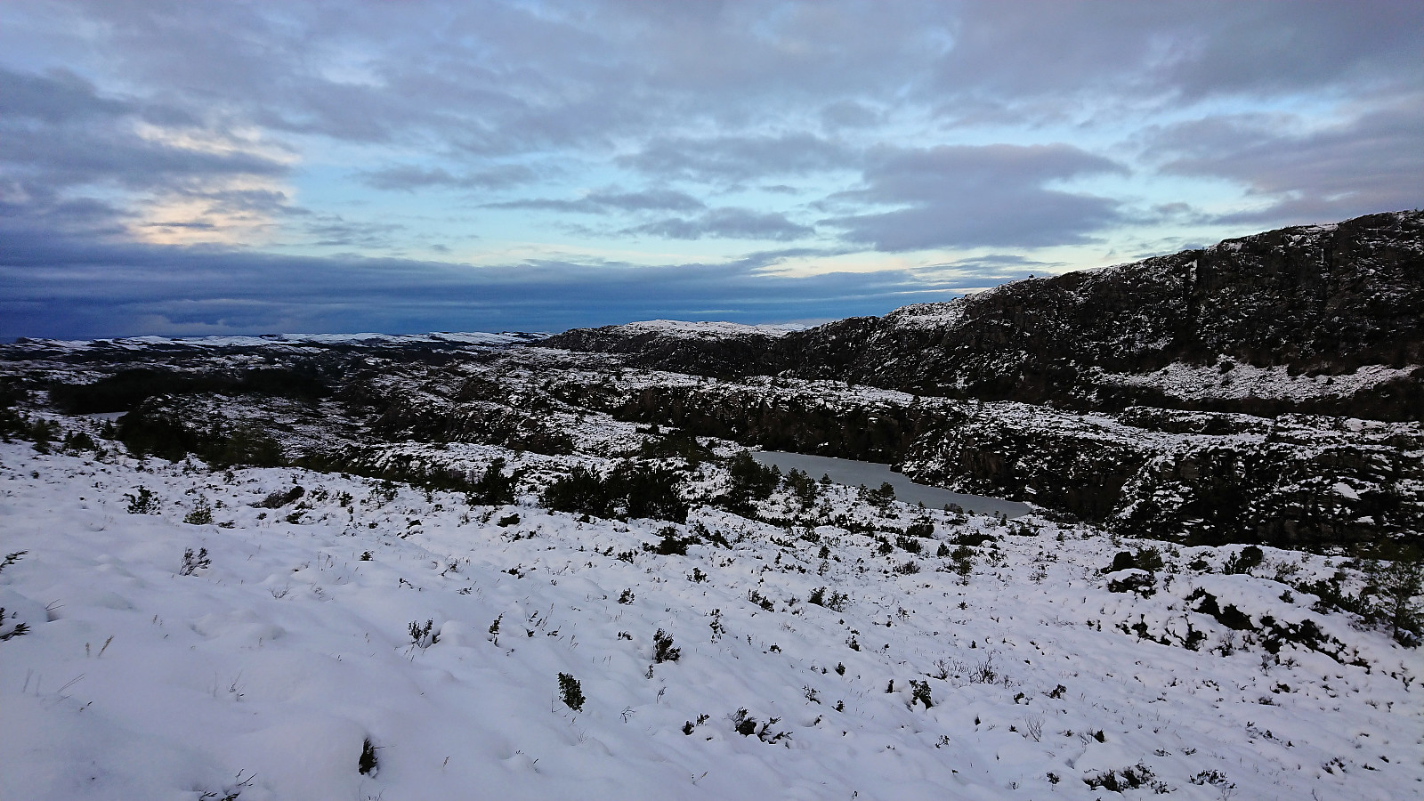
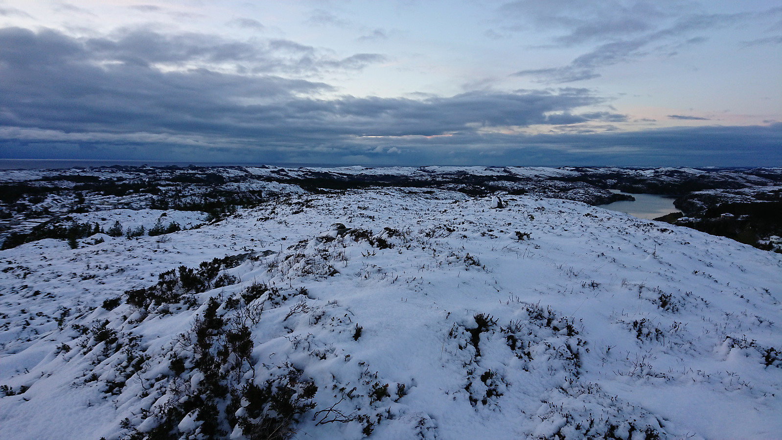
I decided that the best option would be the eastern side of Nyatrævatnet, which turned out to be a good choice. Making any sort of progress in the deep snow took a lot longer than planed though, but in the end I made it to the summit of Randifjellet without any real trouble, and was welcomed by excellent views in all directions. There was a mailbox with a visitor register, but as the top of the mailbox was gone (attempted covered by a small rock) the mailbox was full of snow and the book completely frozen.
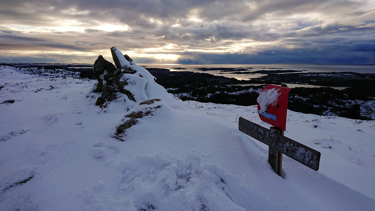
Vorlandstua
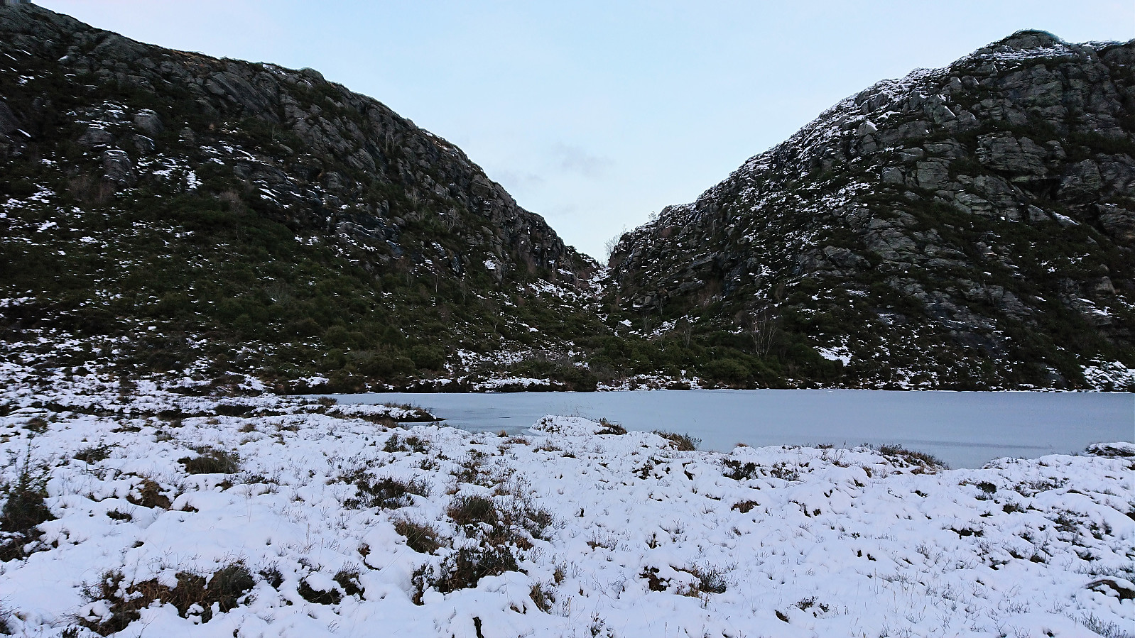
I continued north, trying to find a route towards Vorlandstua. Generally the steepness of the terrain on my left made the route pretty obvious, and the only difficult section was a small cliff that had to be traversed in order to descend to the level of the two small lakes east of Vorlandstua. This descent is most likely much easier without all the snow though.
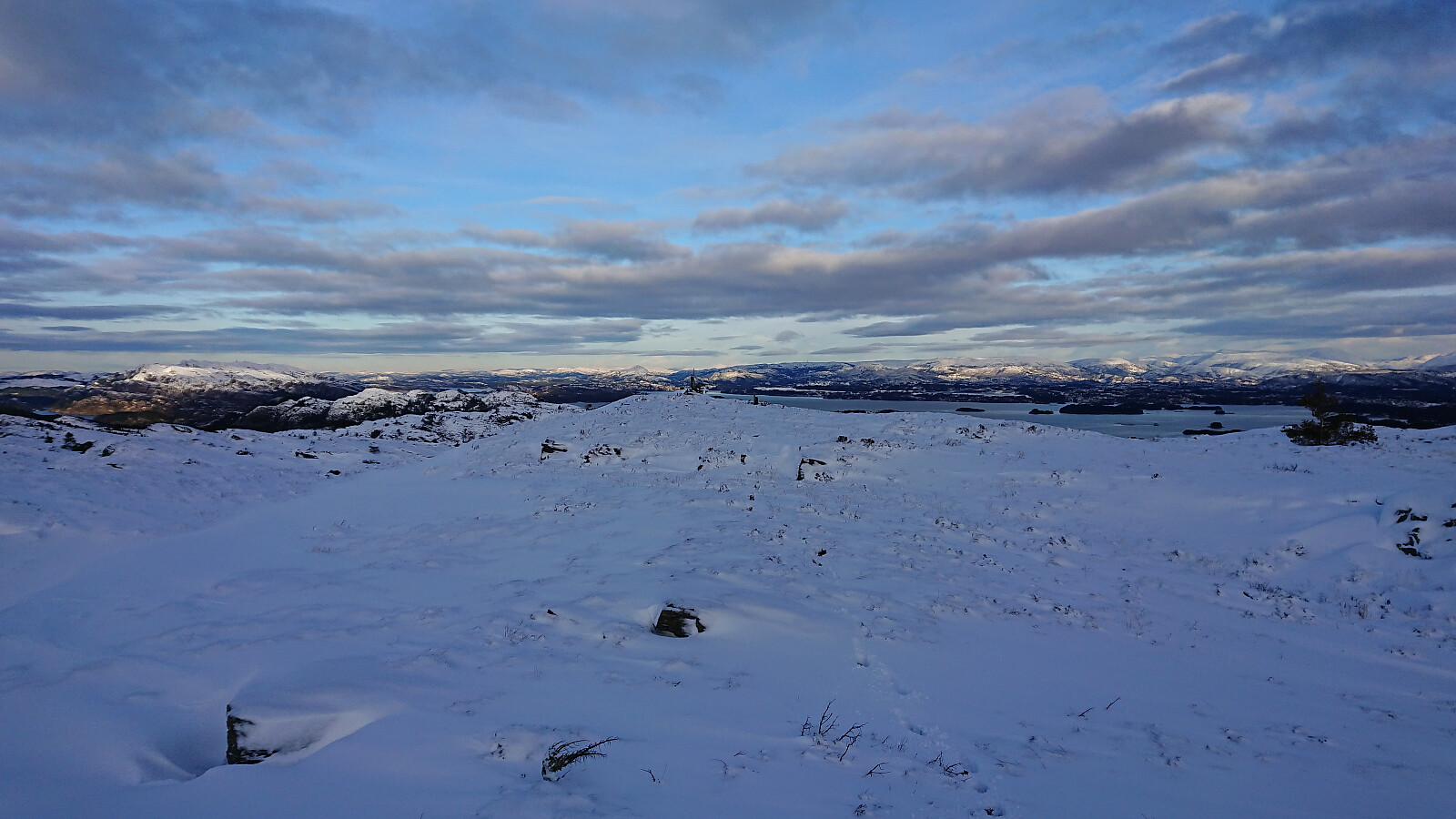
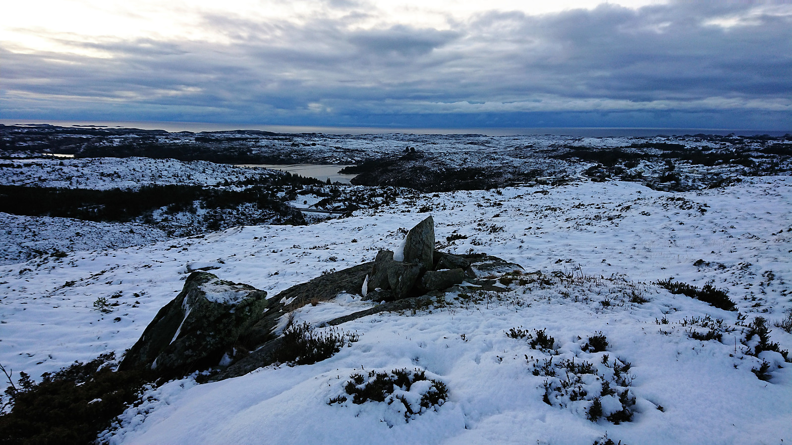
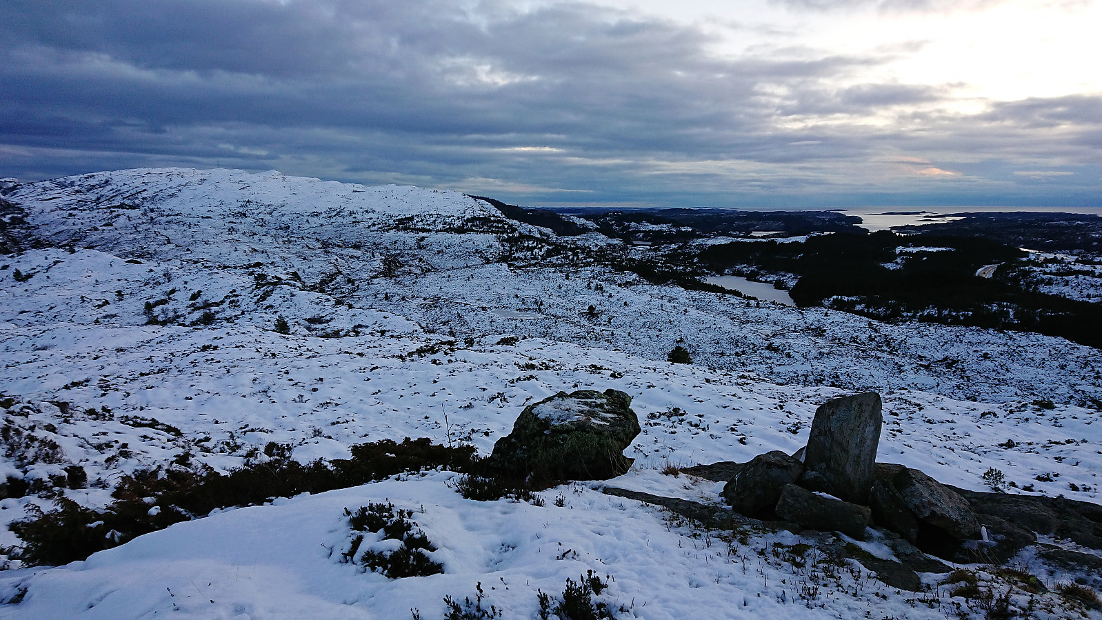
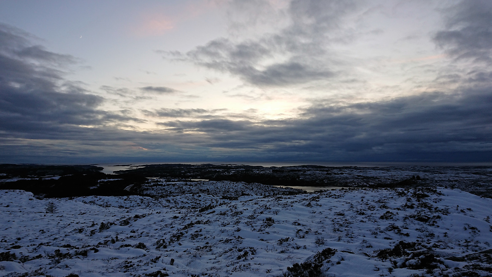
When roughly halfway to Vorlandstua I happened upon a marked trail which I tried to follow. Difficult with all the snow, so I lost it several times, and in the end made my own way to the summit, which provided very nice views. However, I was now more concerned with the time as the conditions had made the hike take a lot longer than planned.
Tveitafjellet
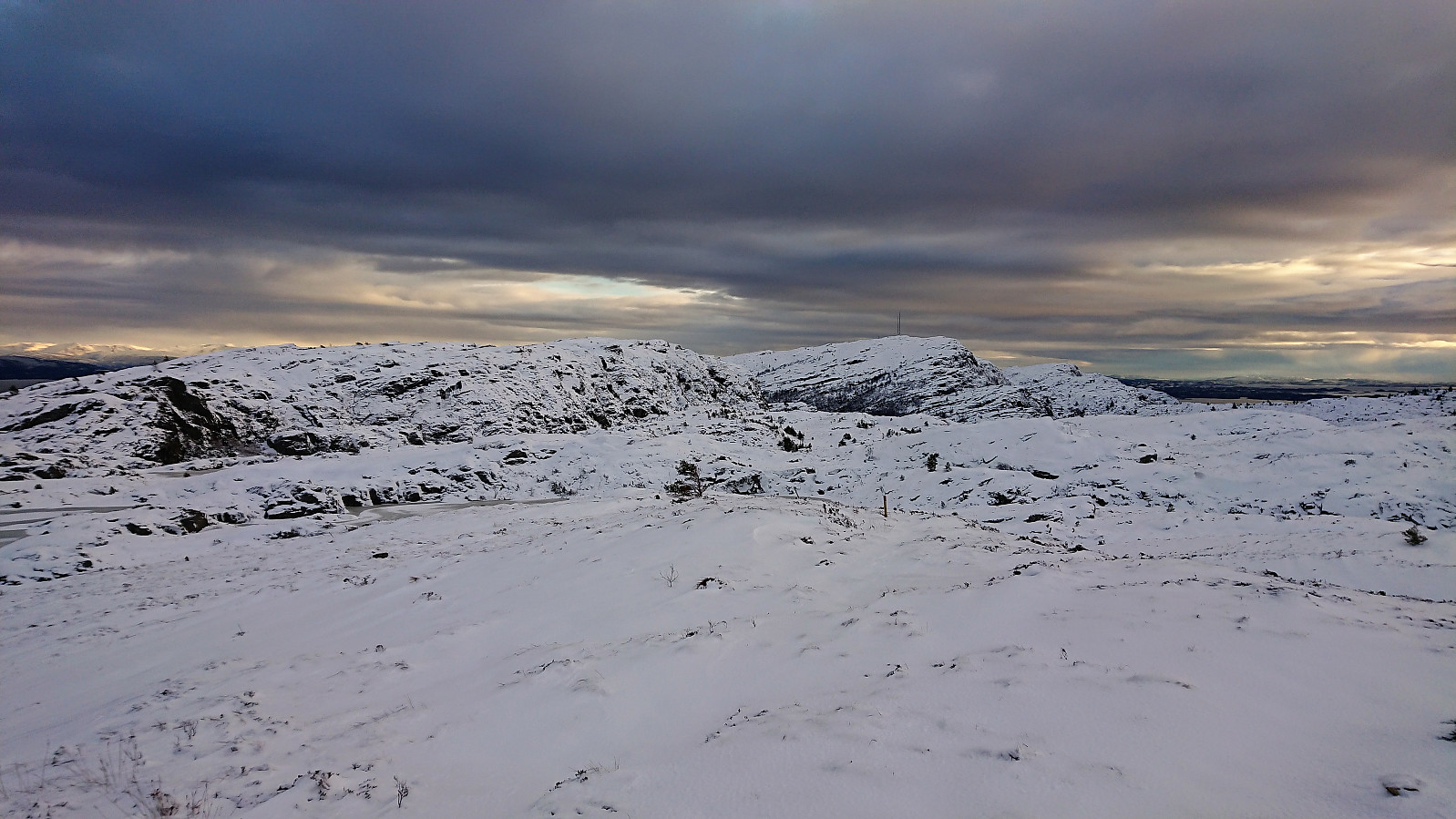
The original plan had been to also pay a visit to Stolåsen, but I had to skip this and instead move directly towards the last goal of the day: Tveitafjellet. No trails in this direction at all, so I simply aimed for Djupeskarvatnet, planning to use Djupskaret to help me ascend towards Tveitafjellet. Not the best terrain for hiking, but not too bad either, and luckily there was here a bit less snow (or maybe I was just getting used to it?). The only real challenge was finding a way to get to the same level as Djupeskarvatnet. I finally found a path up which did not require any climbing, called Rindane on the map.
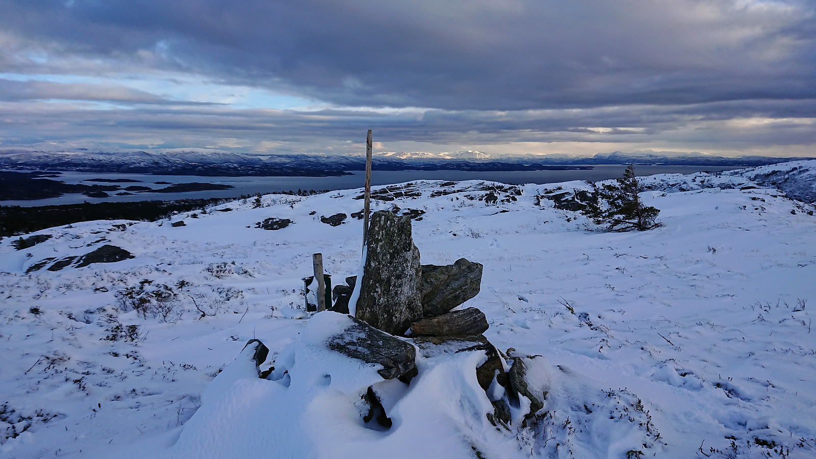
Djupskaret was easier. Although the first part did involve a lot of fighting with the dense semi-low vegetation. But shortly I came across an old weak trail that could be followed to the top of the valley and partly onwards to Tveitafjellet. Tveitafjellet did contain a small cairn, but there was another small unmarked summit 25 meters or so to the northwest that perhaps is slightly higher.
Getting to Skogsskiftet terminal…
All that now was left was making it to Skogsskiftet terminal and the bus back to Bergen. This turned out to be easier said than done. Did not start out too bad, but after crossing the trail going northwest down to Tveit, I ended up in very dense semi-low vegetation that I had to go through/over. There were several such areas that had to be traversed, separated by marshy areas. After a while the open marshy areas took over, and while the progress was still halted by the semi-frozen marshes, I was now making quite good speed north towards the road.
After crossing a low fence I also connected with a marked trail, and though I lost it several times due to the snow, this again greatly simplified my progress. Which was very good, as it was now starting to get dark. The trail also passed by a small camping area, just before connecting with the main road. Upon reaching the road I noticed that I had actually made up a lot of time and ended up getting to Skogsskiftet terminal with 25 minutes to spare for the bus back to Bergen.
Conclusion
Due to all the snow, this ended up being a very different hike than what I had in mind. And if I had known it would be this hard I would perhaps made a different choice at the first crossroads with the sign for Randifjellet. However, I suspect that some parts of this hike would have been equally challenging in better conditions, mainly due to the poor and/or missing trails. Thankfully there were excellent views from all the summits visited. Not really enough to recommend this extended hike though.
| Start date | 20.01.2018 13:01 (UTC+01:00) |
| End date | 20.01.2018 17:28 (UTC+01:00) |
| Total Time | 4h 27min |
| Moving Time | 4h 07min |
| Stopped Time | 0h 19min |
| Overall Average | 2.5km/h |
| Moving Average | 2.7km/h |
| Distance | 11.2km |
| Vertical meters | 505m |

User comments