Kolafjellet from Døsjeskiftet (30.12.2017)

| Start point | Døsjeskiftet (38m) |
|---|---|
| Endpoint | Døsjeskiftet (39m) |
| Characteristic | Hillwalk |
| Duration | 3h 35min |
| Distance | 13.3km |
| Vertical meters | 552m |
| GPS |
|
| Ascents | Kolafjellet (114m) | 30.12.2017 |
|---|---|---|
| Tunga (130m) | 30.12.2017 | |
| Vardafjell (231m) | 30.12.2017 |
Kolafjellet from Døsjeskiftet
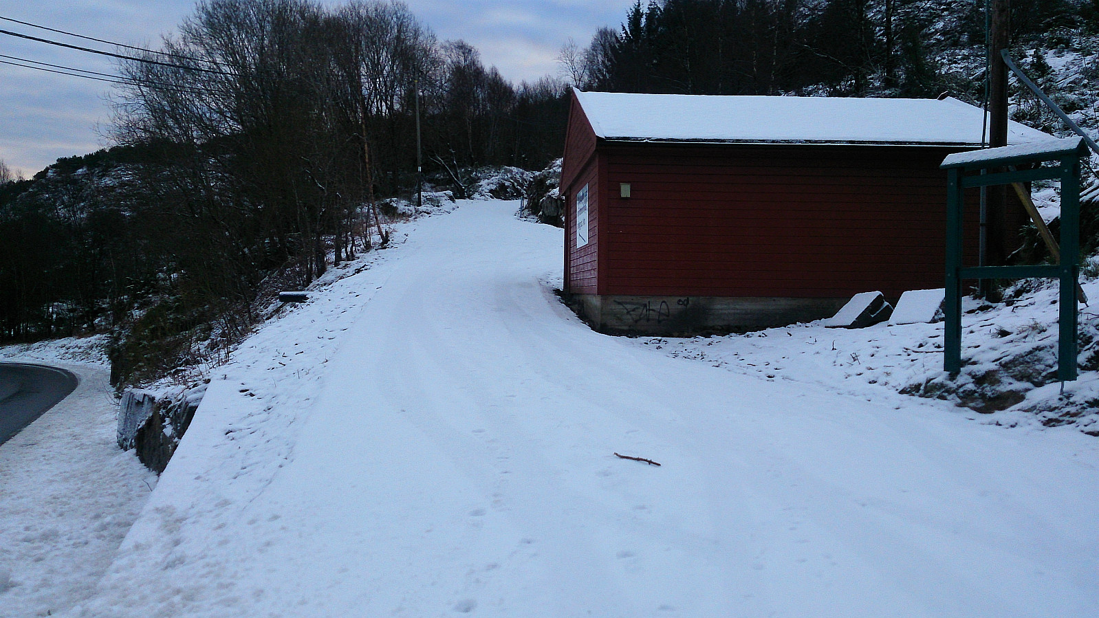
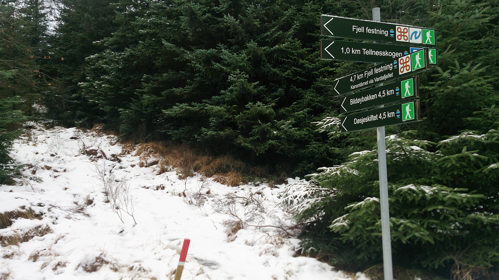
Kolafjellet seemed to be one of those small peaks that are not really worth a hike in itself, so I decided to extend the hike a bit to make the overall trip more enjoyable. Started by taking the bus to Døsjeskiftet and following the paved road up to Bildøyvatnet. From there I followed the marked trail across Vardafjell, ending up at Fjell festning. (The wooden trail markers came in very handy as the trail itself was covered with snow. I therefore more or less ended up walking from one marker to the next.)
I continued south along the roads at Fjell festning until reaching the main road. Previous PB trip reports indicated that there was a tractor road further south that could be utilized to make easy progress towards Kolafjellet. I therefore started walking south along the main road in search of this tractor road, which I found after about 400 meters, and started my ascent.
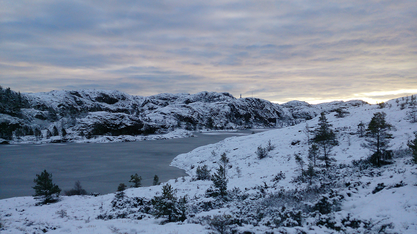
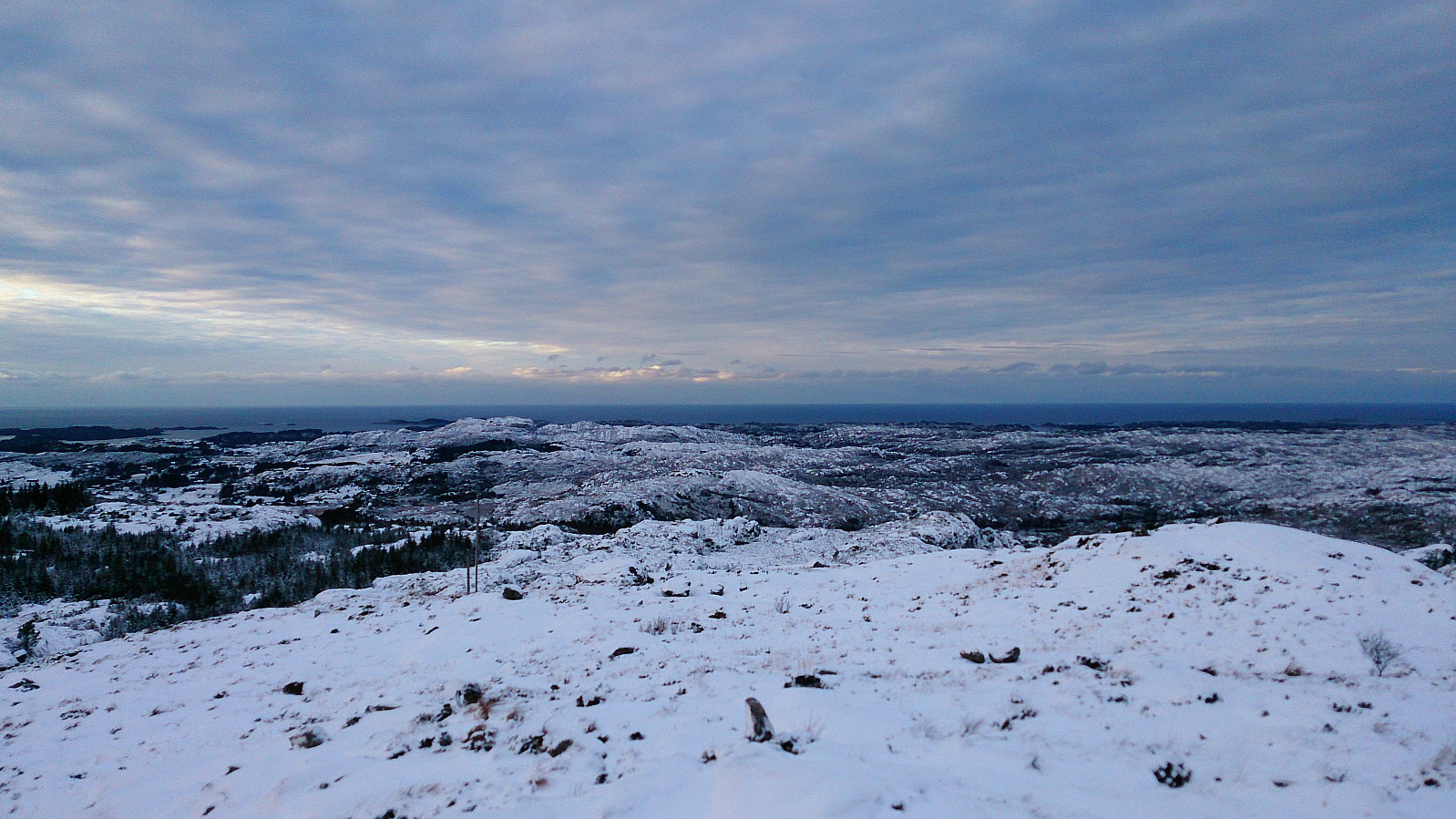
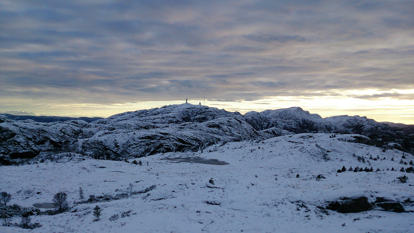
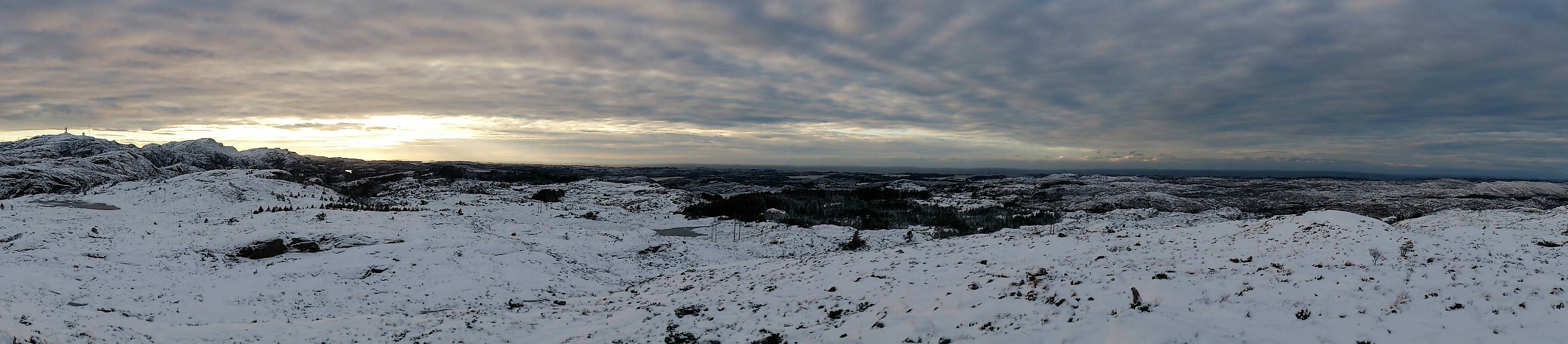
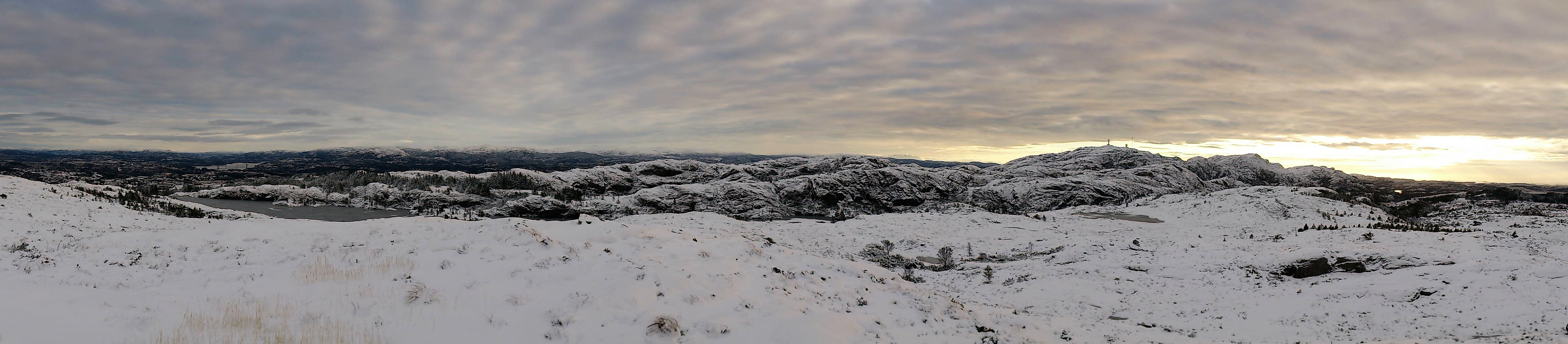
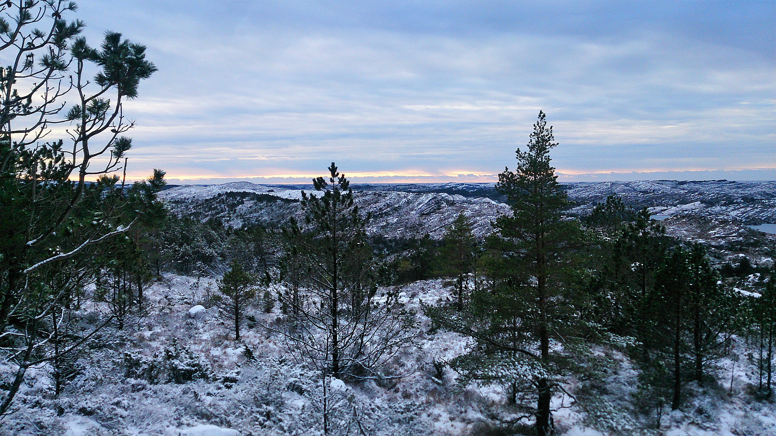
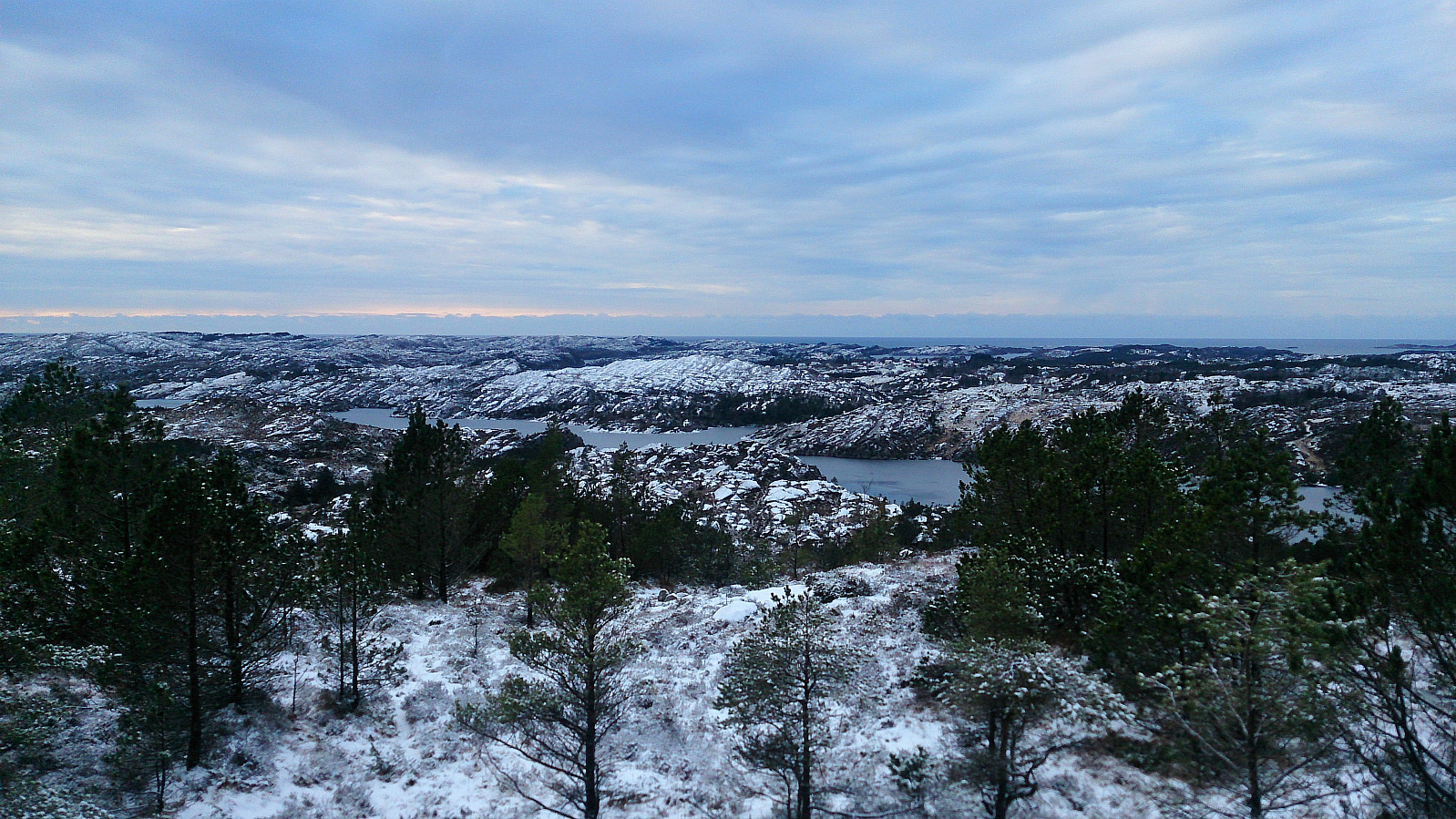
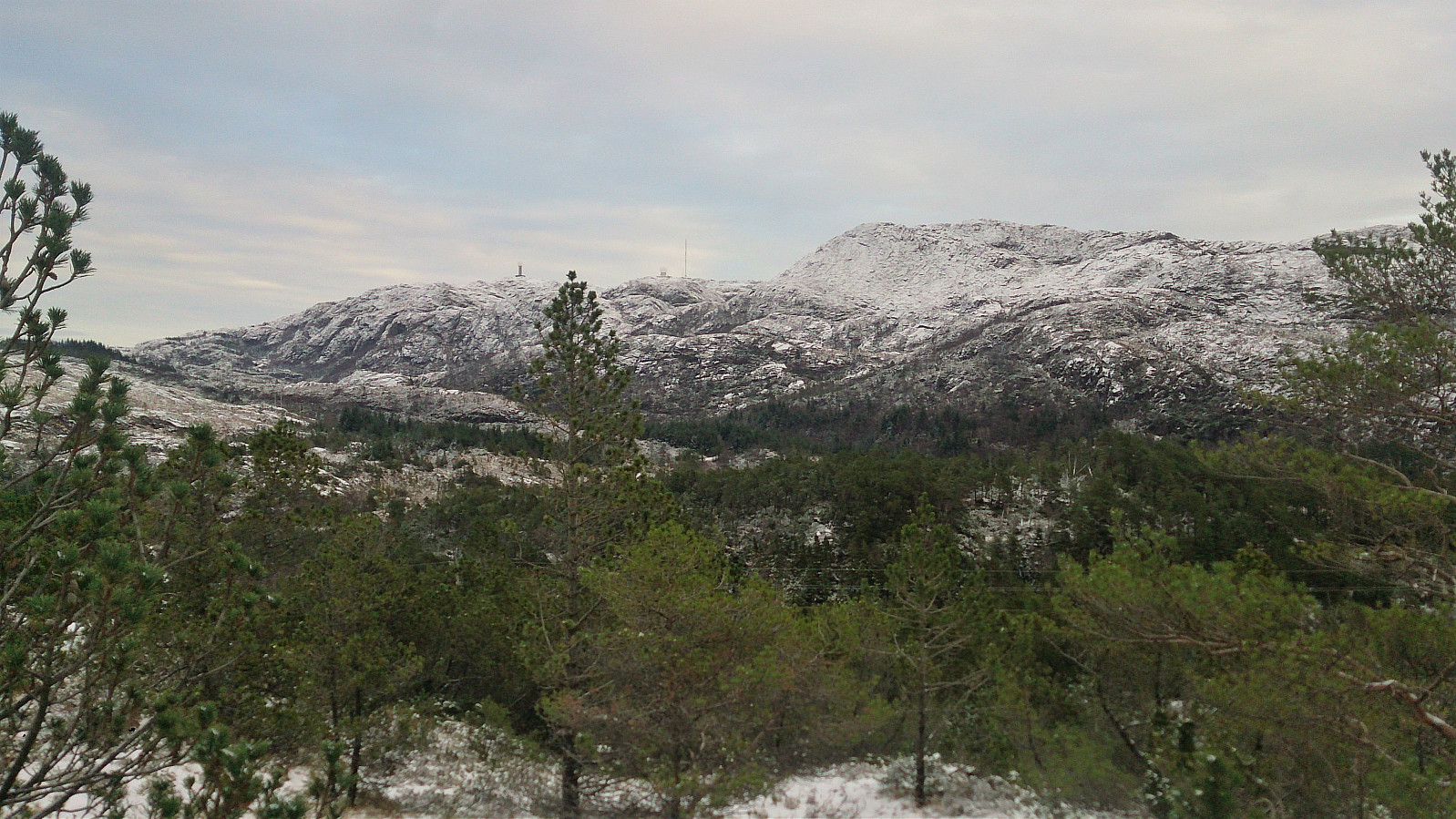
Just before reaching the end of the tractor road I came across what looked like a trail heading in the direction of the summit. Probably just a deer track (of which I saw several hoof prints all across Kolafjellet). But in any case it did make it easier to progress towards the highest point, which I reached without any difficulties. The view from the summit (and the surrounding area) was much better than expected. (Although better versions of the same views can of course be obtained from Liatårnet.)
Given that another walk back along the main road was not very tempting, I decided to instead continue north across the summit in an attempt to connect with the short gravel road indicated on the map. This started out fine, but did end in a bit of light climbing before finally reaching the gravel road. Still better than walking back along the main road.
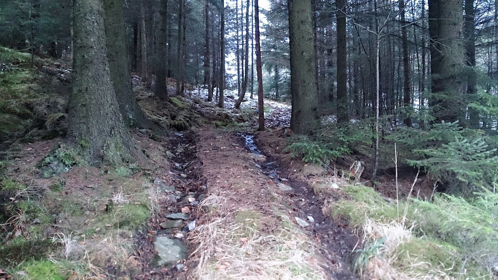
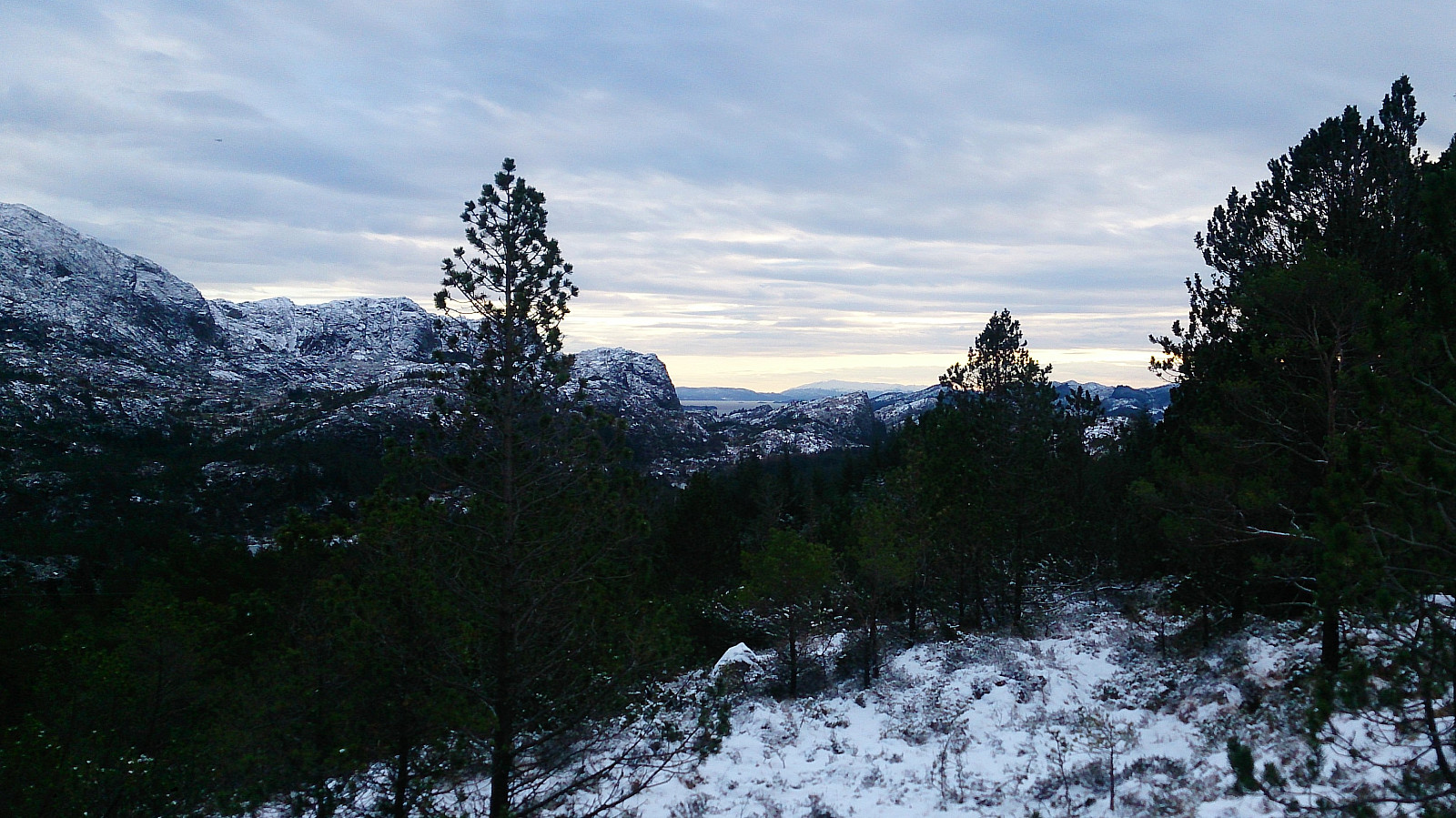
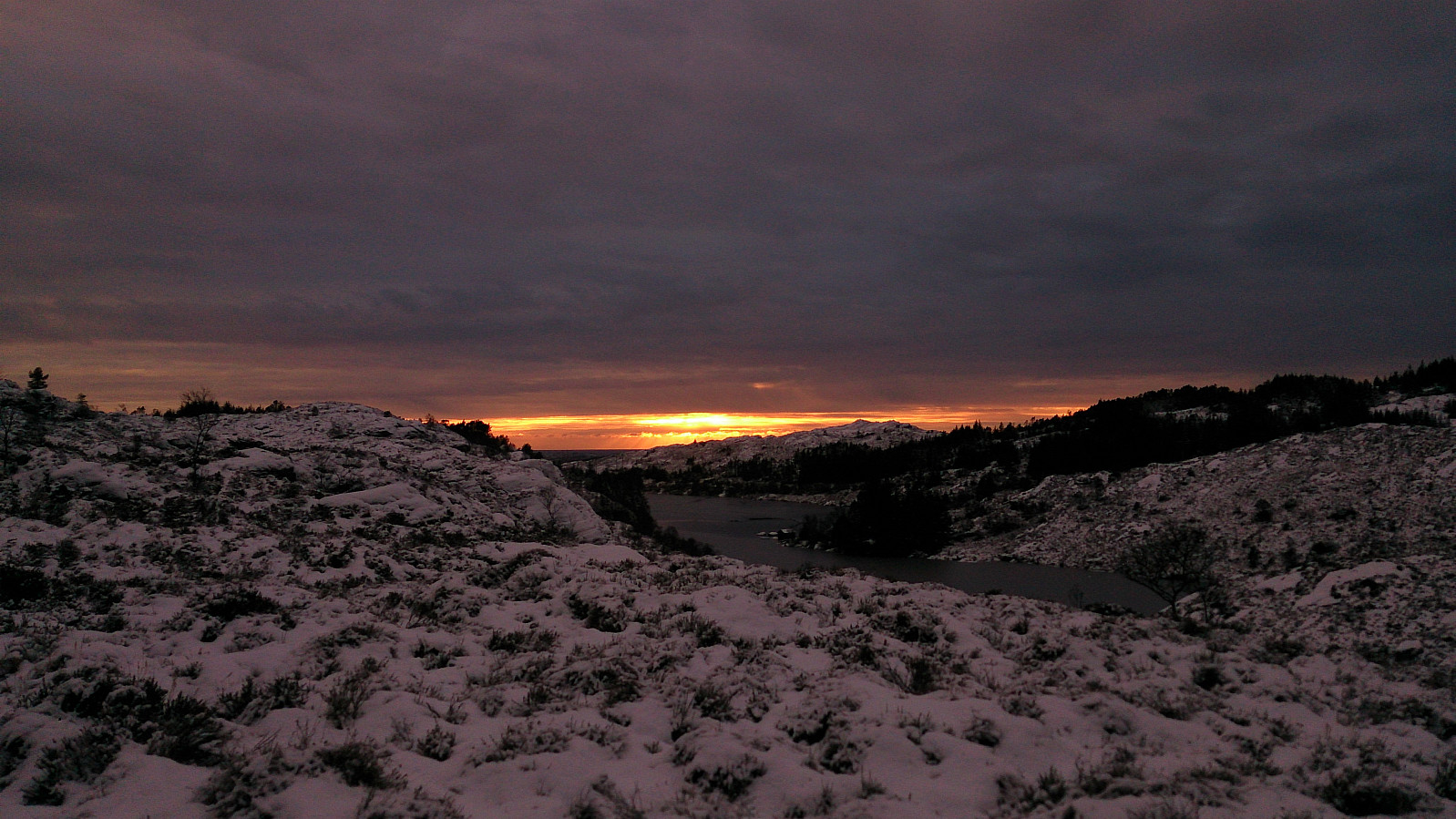
To get back to Døsjeskiftet, I followed the marked trail taking me across Tunga, which today provided excellent views of the setting sun. The quality of the trail itself could have been better though: very wet, even on this cold day. I soon arrived at the crossroads south of Bildøyvatnet, from where I followed the trail north on the west side of the lake, finally returning to Døsjeskiftet and the bus back to the city center.


| Start date | 30.12.2017 12:12 (UTC+01:00) |
| End date | 30.12.2017 15:48 (UTC+01:00) |
| Total Time | 3h 35min |
| Moving Time | 3h 24min |
| Stopped Time | 0h 10min |
| Overall Average | 3.7km/h |
| Moving Average | 3.9km/h |
| Distance | 13.3km |
| Vertical meters | 551m |

User comments