Storevardhaugane, Kjerrgardsåsen and Ospåsen (21.12.2017)

| Startsted | Fromreidetoppen (47moh) |
|---|---|
| Sluttsted | Åsebø (52moh) |
| Turtype | Fjelltur |
| Turlengde | 3t 07min |
| Distanse | 9,4km |
| Høydemeter | 390m |
| GPS |
|
| Bestigninger | Kjerrgardsåsen (124moh) | 21.12.2017 |
|---|---|---|
| Ospåsen (168moh) | 21.12.2017 | |
| Storevardhaugane (92moh) | 21.12.2017 |
Storevardhaugane, Kjerrgardsåsen and Ospåsen
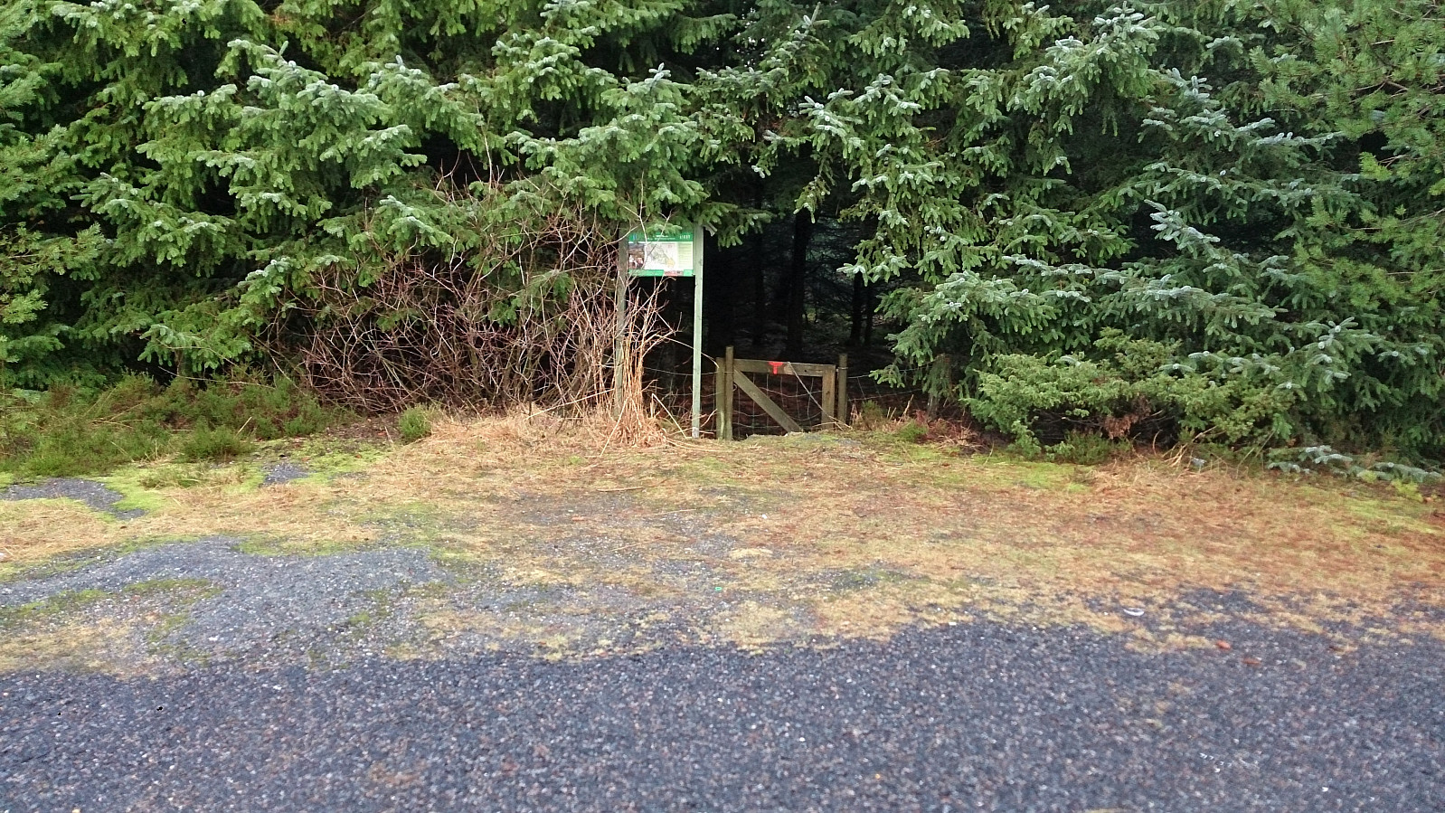


Storevardhaugane
Started by taking the bus to Fromreidetoppen and continued west along the road (~400 m) until reaching the trailhead. There was no sidewalk, but there was a narrow trail on the right-hand side of the road could be used. I tried to follow the trail through the woods towards Storevardhaugane. But this was easier said than done, as there were multiple trails to choose from, all with different (mainly) unlabeled markers, i.e. the GPS came in handy.
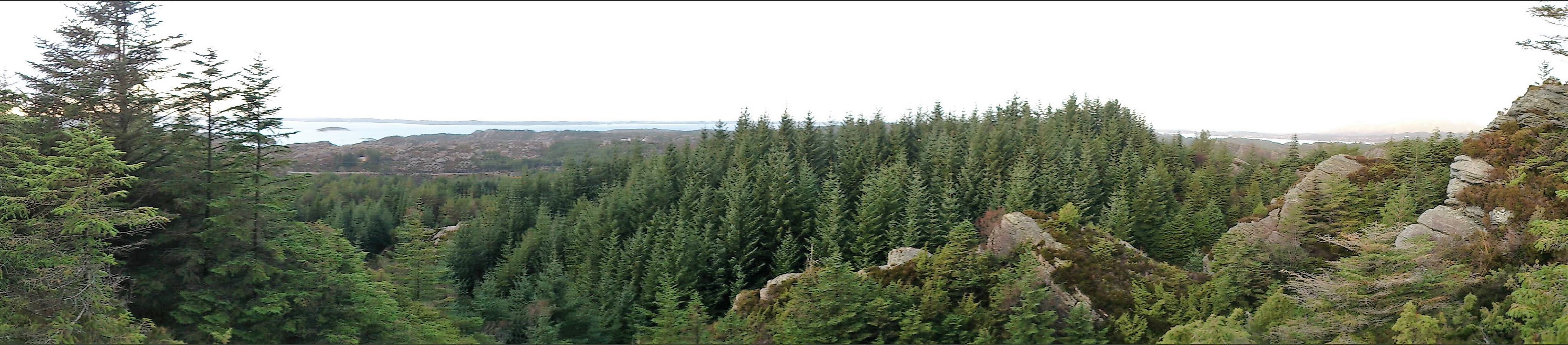
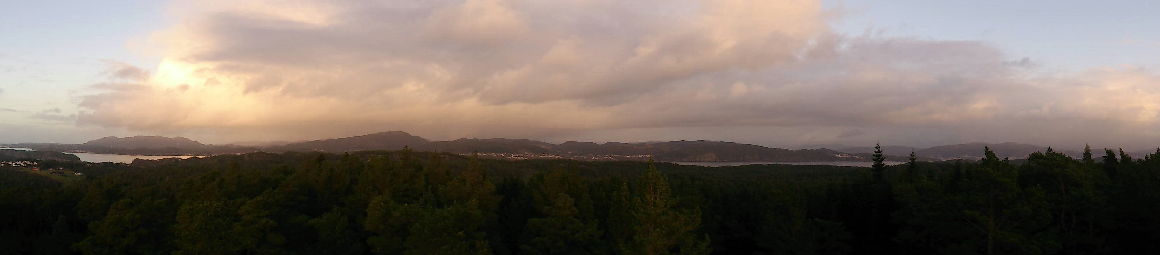
Storevardhaugane provided decent views, partly blocked by trees. The view towards Eldsfjellet was particularly nice. After signing the visitor register, and looking for a potentially better view south of the summit (which was not to be found), I retraced my steps to one of the previous crossroads, and headed towards Leirdalen and Berlandsvegen.
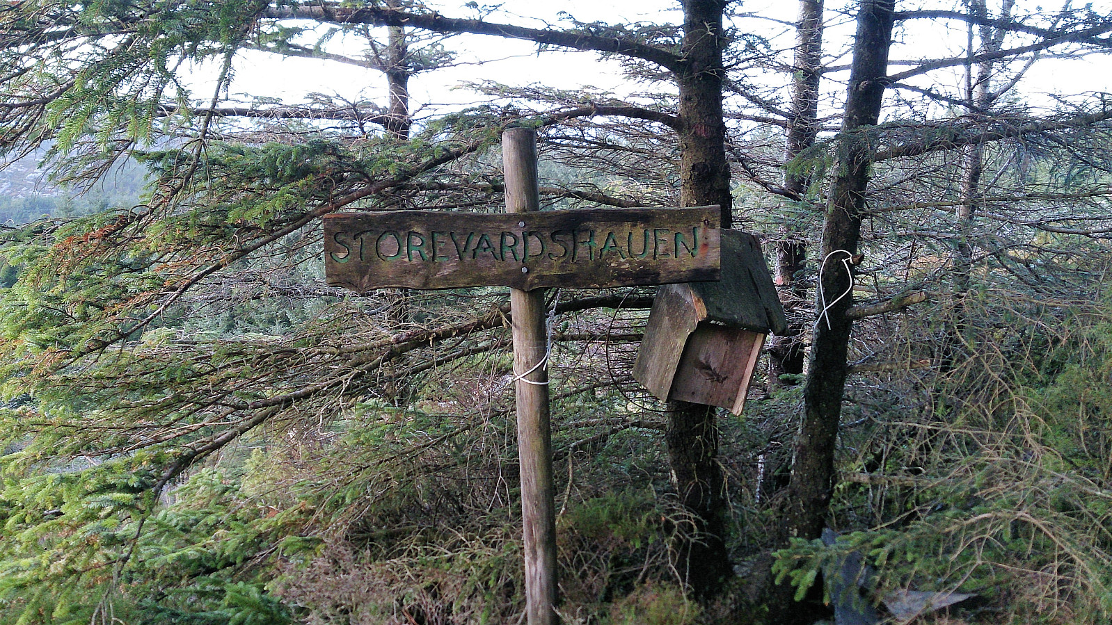
Kjerrgardsåsen
I followed Berlandsvegen east until reaching Nordre Hauglandsvegen, where I shortly turned north before again heading east up Midtvardhaugane for the start of the trail to Kjerrgardsåsen. Started out as a tractor road that turend into a trail before reaching the summit.
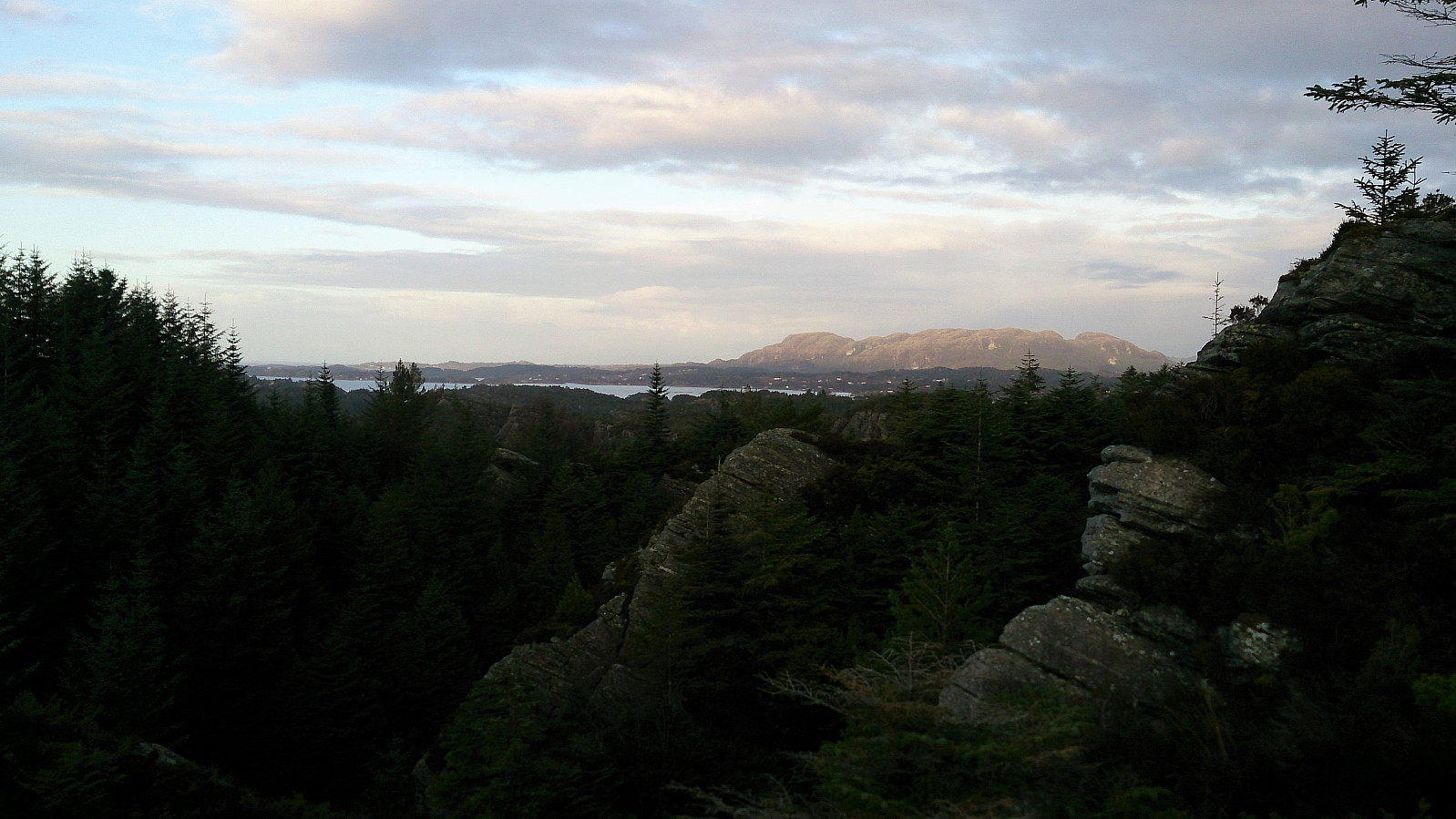
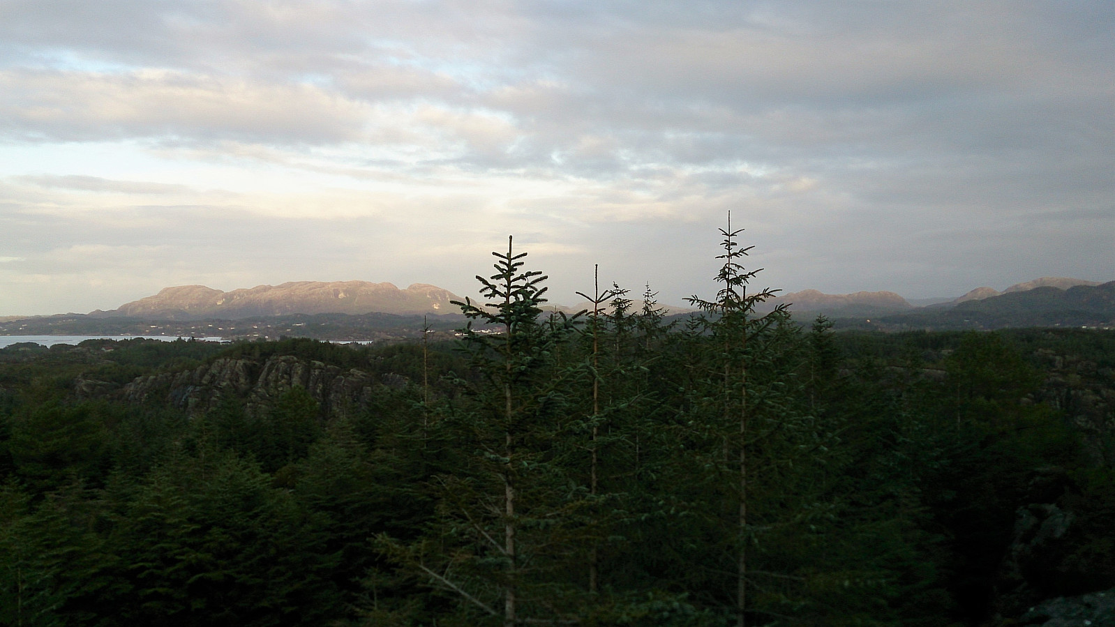
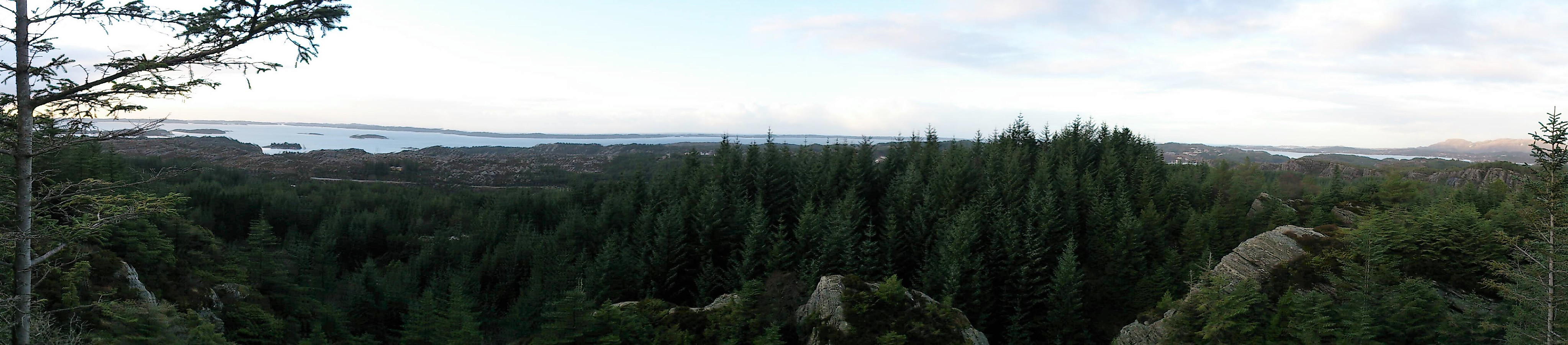
The most noticeable feature of Kjerrgardsåsen was the large wooden lookout tower, which today had to be ascended with caution due to the steep and wet wooden steps. The view from the tower was dramatically better than from the ground, providing unhindered views in all directions.
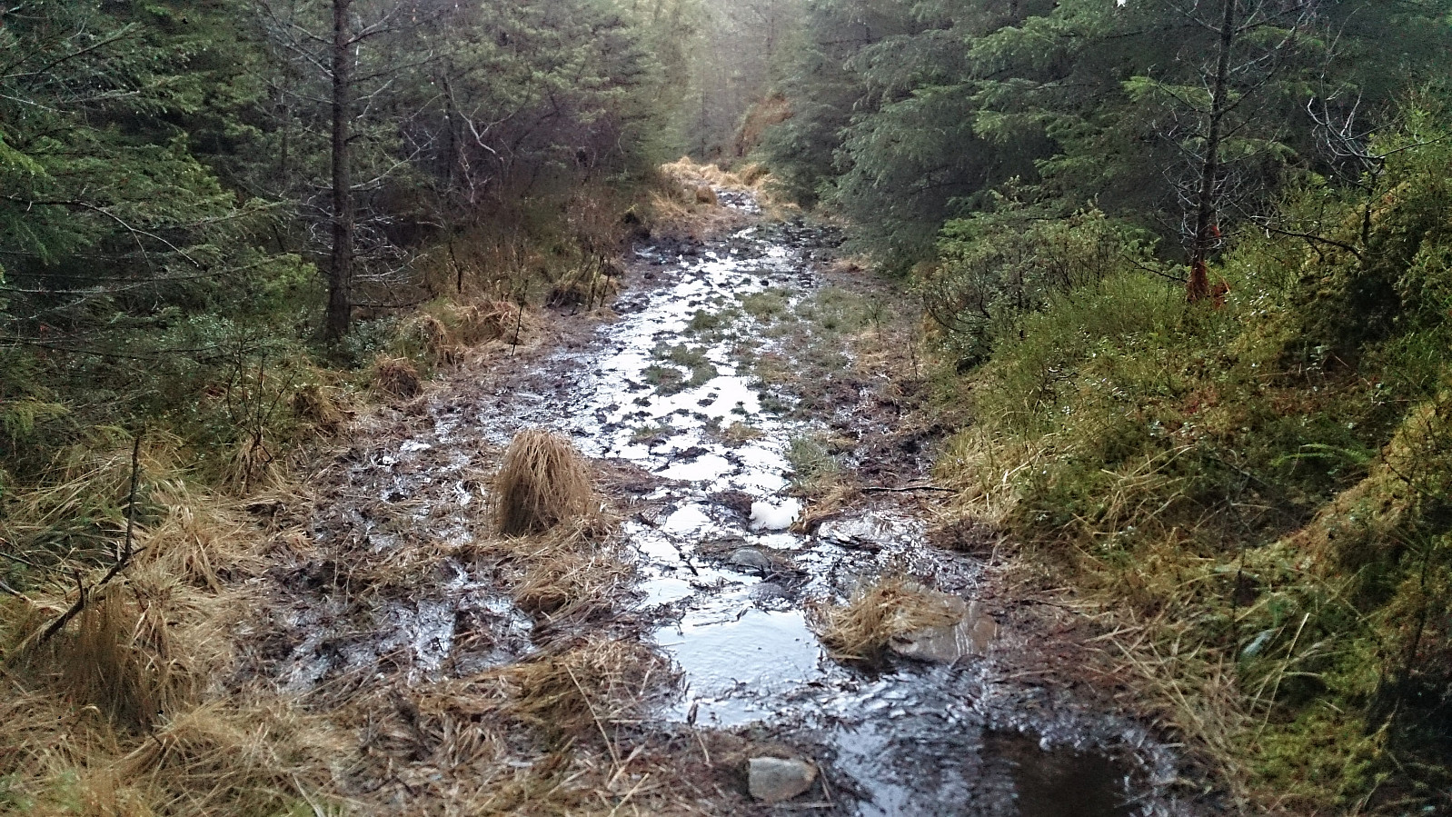
From Kjerrgardsåsen I wanted to follow the trails towards the main road and arrive at the location where the map indicated that one could continue directly towards Ospåsen after crossing the road. But again the numerous (mainly unmarked) trails and crossroads provided a challenge, and again the GPS had to be conferred.
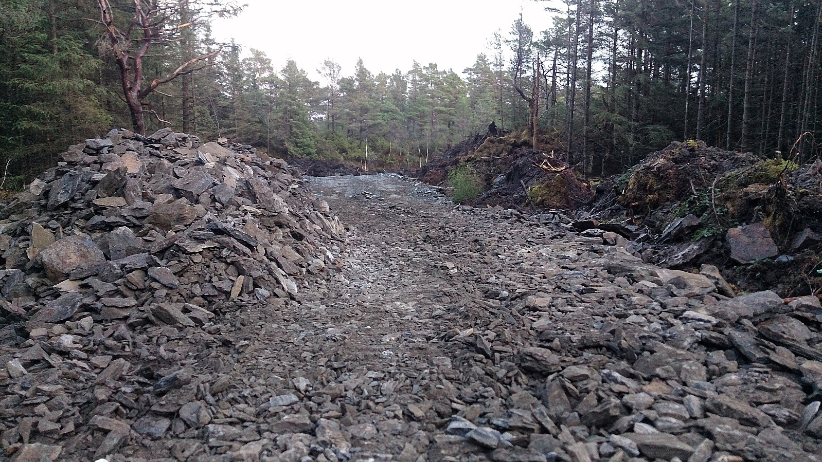
The quality of the trails was here quite poor, looking more like streams than trails. However this may be soon improve, as when rounding a corner I came across an excavator working on the trail/road, and from that point the trail transformed into a gravel road that could be followed all the way to the main road.
Ospåsen
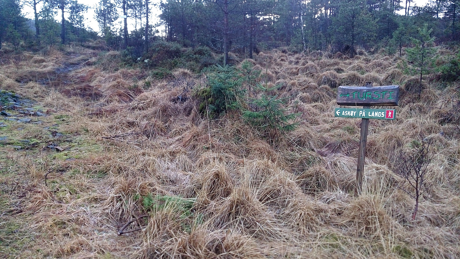
The marked trail towards Ospåsen could easily be located after crossing the main road. It should however be noted that the trail indicated on the Norgeskart map (which continues south from the main road) does not seem to be the currently recommended trail. One should instead choose the newer trail which first heads east parallel to the road (and instead later turns south). Both trails reconnected when crossing Kjerrgardselva though.
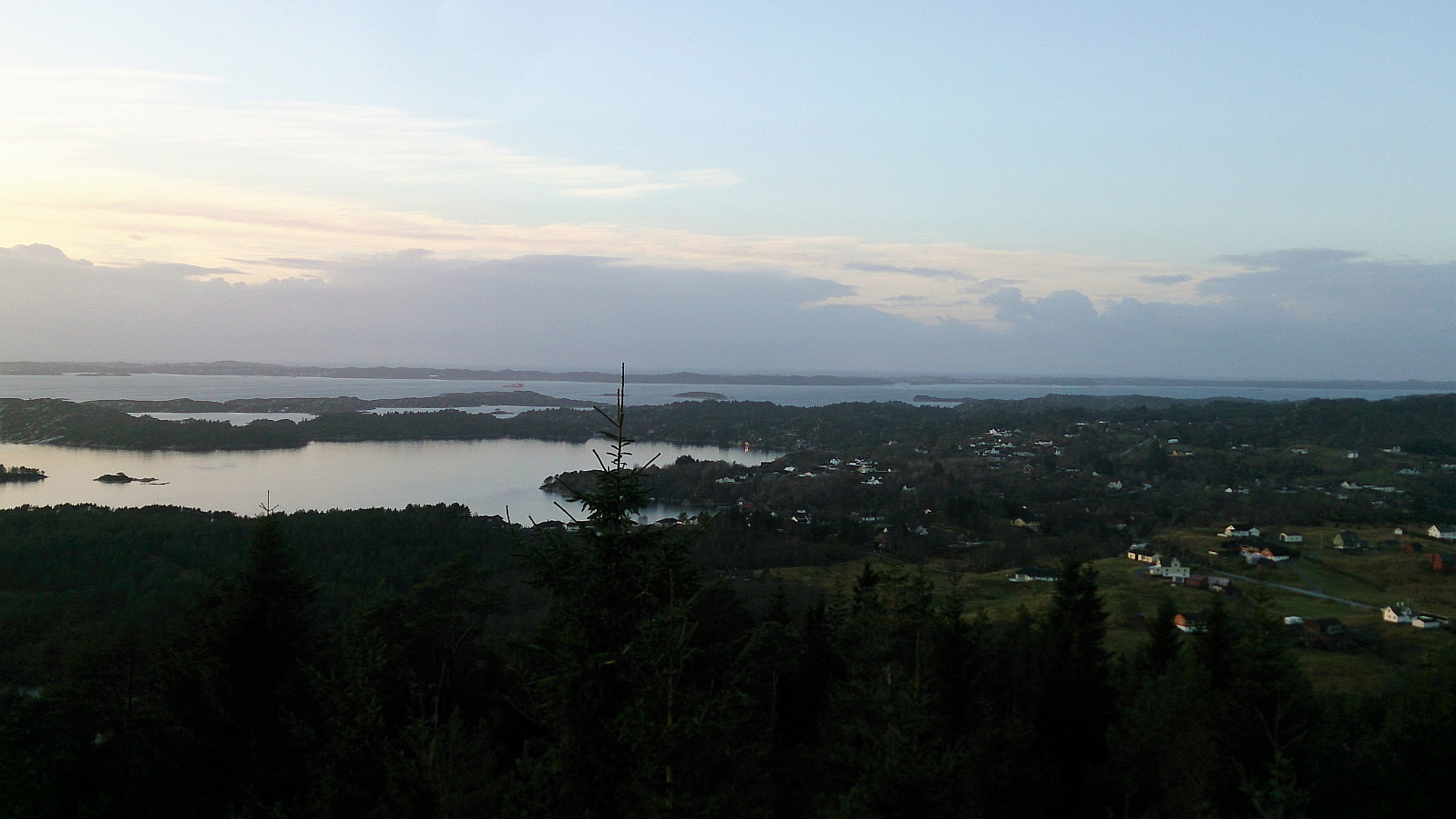
After crossing Kjerrgardselva I followed the standard trails to the viewpoint and visitor register at Ospåsen, where the view was significantly better than on my last visit (in dense fog). After signing the register I continued up to the actual summit and then down to Åsebø for the bus back to Bergen.
Conclusion
Overall not the most interesting hike along (mainly) muddy forest trails. The clear highlight being the lookout tower at Kjerrgardsåsen. But it can be recommended as a way to visit the three summits without a car.
| Starttidspunkt | 21.12.2017 12:09 (UTC+01:00) |
| Sluttidspunkt | 21.12.2017 15:17 (UTC+01:00) |
| Totaltid | 3t 07min |
| Bevegelsestid | 2t 48min |
| Pausetid | 0t 19min |
| Snittfart totalt | 3,0km/t |
| Snittfart bevegelsestid | 3,4km/t |
| Distanse | 9,4km |
| Høydemeter | 390m |

Kommentarer