Fjellhytten, Brushytten and Ankerhytten (16.12.2017)

| Start point | Vetrlidsallmenningen (2m) |
|---|---|
| Endpoint | Lønborg (56m) |
| Characteristic | Hillwalk |
| Duration | 3h 33min |
| Distance | 14.1km |
| Vertical meters | 809m |
| GPS |
|
| Ascents | Søre Midtfjellet (452m) | 16.12.2017 |
|---|---|---|
| Visits of other PBEs | Ankerhytten (403m) | 16.12.2017 |
| Brannmannshytten (ruin) (448m) | 16.12.2017 | |
| Brushytten (412m) | 16.12.2017 | |
| Fjellhytten (451m) | 16.12.2017 | |
| Fløyen stasjon (313m) | 16.12.2017 | |
| Radiostasjonen Fløyen barnehage (306m) | 16.12.2017 | |
| Fløypilen (299m) | 16.12.2017 | |
| Lundekvam (tuft) (495m) | 16.12.2017 | |
| Søre Midtfjellet utsiktspunkt (440m) | 16.12.2017 |
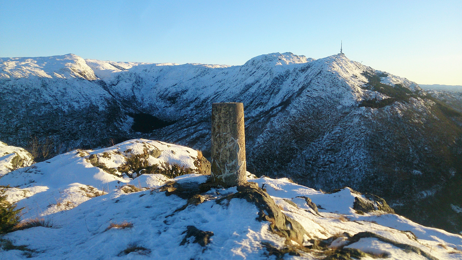
Fjellhytten, Brushytten and Ankerhytten
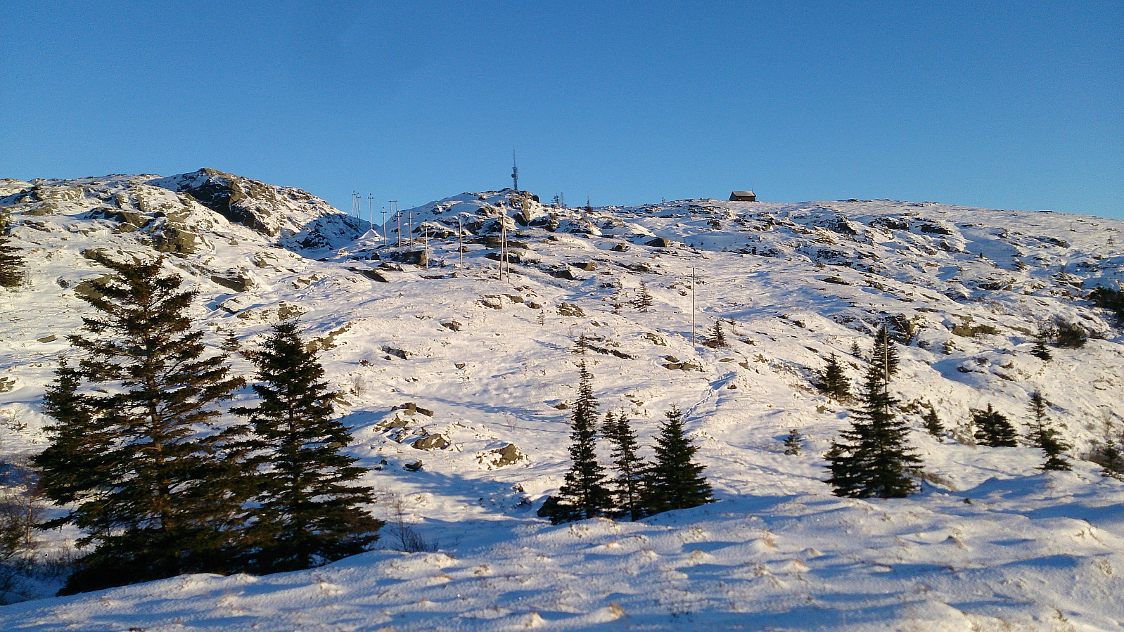
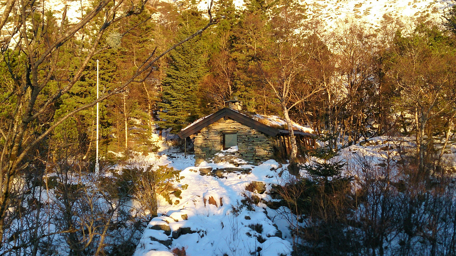
Started walking from the bus stop at Torget and followed Tippetue up to Fløyen. From there I continued to Fjellhytten before going via Brushytten on the way up towards Rundemanen, and then passing by Ankerhytten on the way down to Munkebotn and finally onwards to Lønborg.


| Start date | 16.12.2017 12:01 (UTC+01:00) |
| End date | 16.12.2017 15:35 (UTC+01:00) |
| Total Time | 3h 33min |
| Moving Time | 3h 31min |
| Stopped Time | 0h 1min |
| Overall Average | 4.0km/h |
| Moving Average | 4.0km/h |
| Distance | 14.1km |
| Vertical meters | 809m |

User comments