Sandviksbatteriet (the steep route) and Håmanen (02.12.2017)

| Startsted | Munkebotn (17moh) |
|---|---|
| Sluttsted | Lønborg (60moh) |
| Turtype | Fjelltur |
| Turlengde | 2t 02min |
| Distanse | 5,8km |
| Høydemeter | 391m |
| GPS |
|
| Bestigninger | Håmanen (203moh) | 02.12.2017 |
|---|---|---|
| Andre besøkte PBE'er | Furekammen (163moh) | 02.12.2017 |
| Permisjonsstien (50moh) | 02.12.2017 | |
| Sandviksbatteriet (182moh) | 02.12.2017 |
Sandviksbatteriet (the steep route) and Håmanen
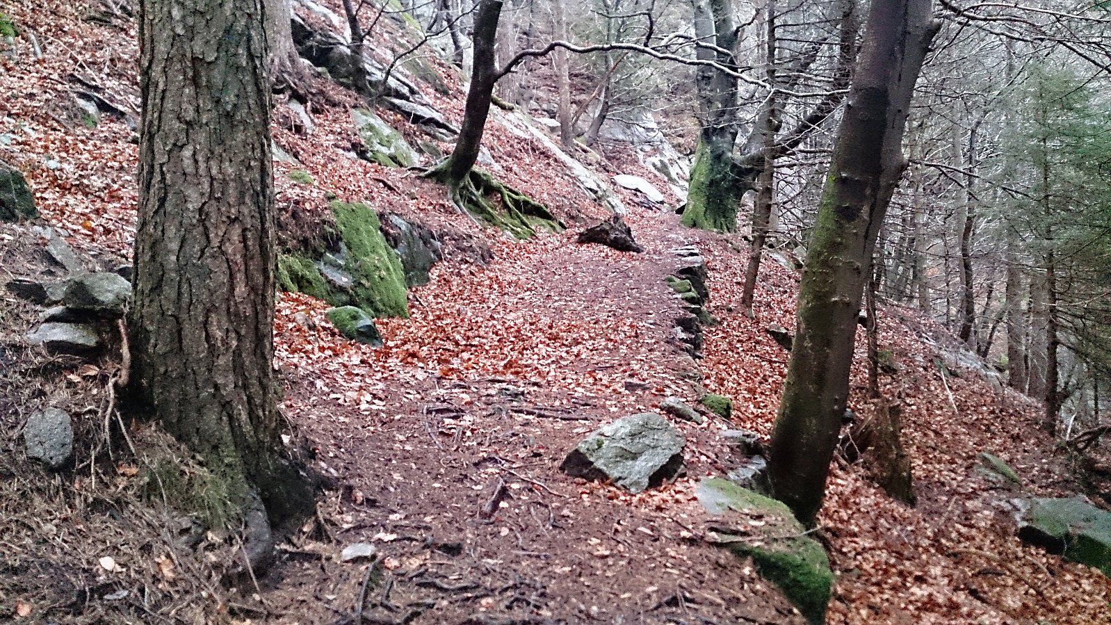
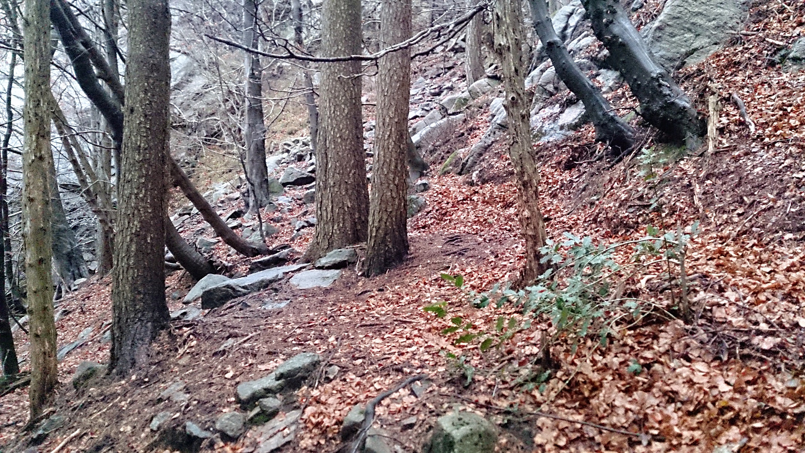
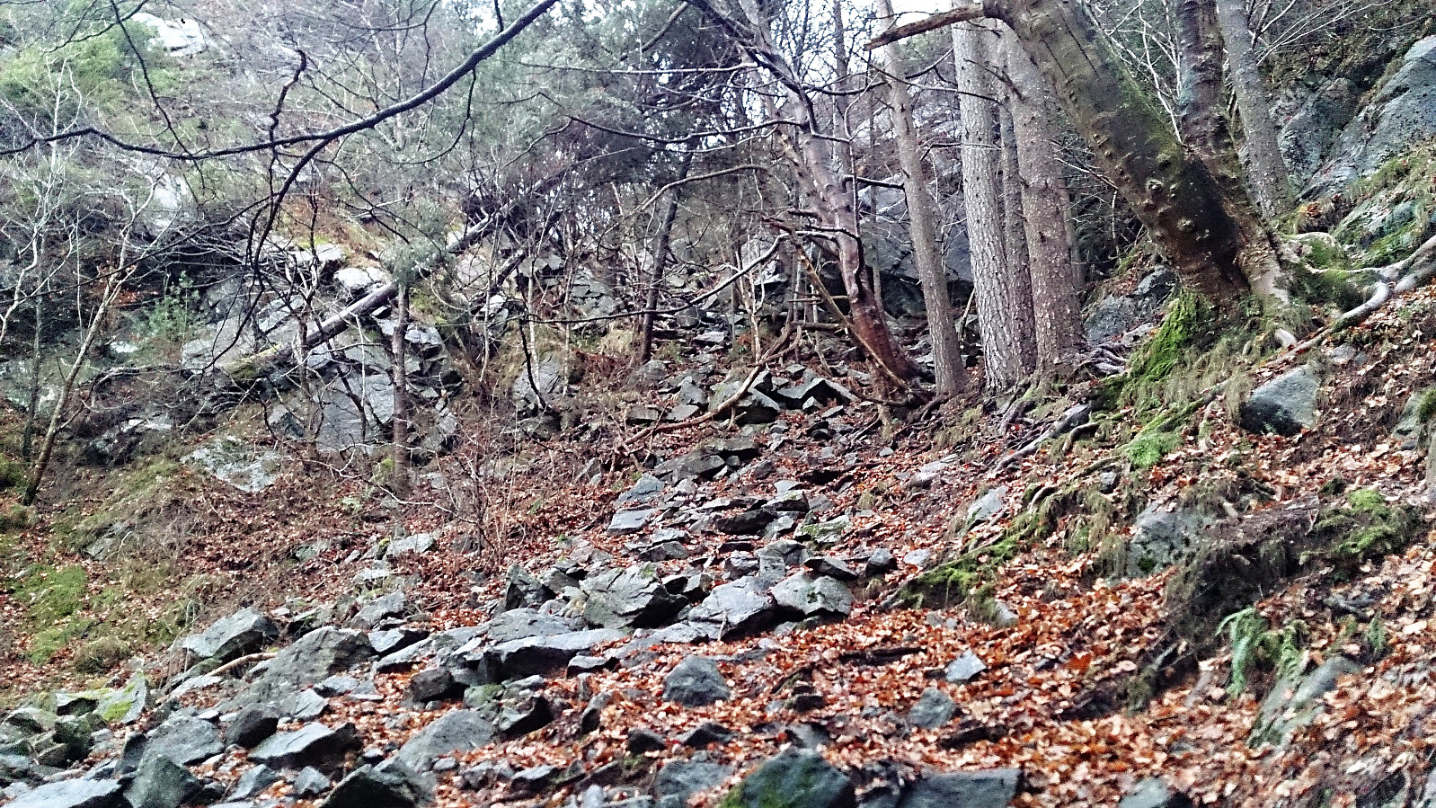

Given that my previous attempt to follow the steep route from Fjellveien to Sandviksbatteriet went a bit wrong (see Sandviksbatteriet - the steep route with a detour), I decided to retrace my steps to see where I made the wrong turn.
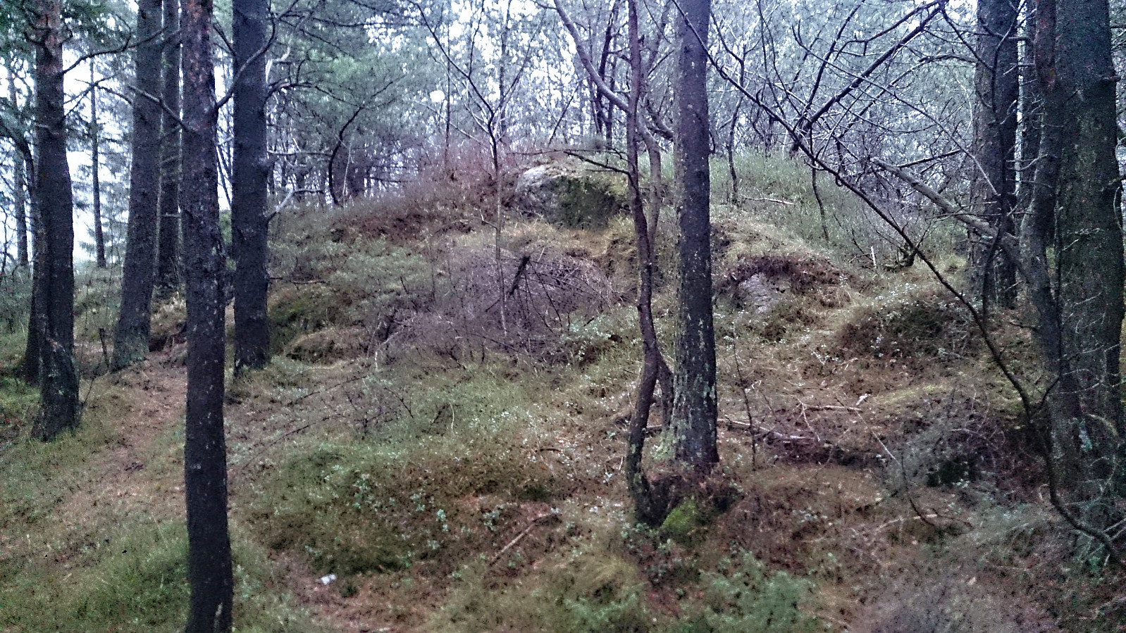
Once again I started from the bus stop in Munkebotn and followed the (initially) nice trail in the direction of Sandviksbatteriet, but at the last bend in the trail I now turned left towards Sandviksbatteriet instead of continuing the climb upwards. This route also included a small bit of very light climbing (although a lot less than the previous hike) and the trail is not very clear until getting close to the small concrete tower (which is more or less at the same level as Sandviksbatteriet). From there it is straightforward to arrive at Sandviksbatteriet.
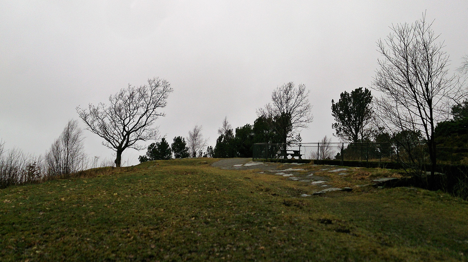
No views today due to rain and low-hanging clouds, so I quickly continued down the road towards Munkebotn and then up to Håmanen on the other side of the valley. From Håmanen I followed the trail north to Våkenskaret (where the gravel road comes up from Skytterveien). The hike was then concluded by walking up Øyjordsveien and across Hellen festning back to Lønborg.
| Starttidspunkt | 02.12.2017 13:29 (UTC+01:00) |
| Sluttidspunkt | 02.12.2017 15:32 (UTC+01:00) |
| Totaltid | 2t 02min |
| Bevegelsestid | 1t 16min |
| Pausetid | 0t 45min |
| Snittfart totalt | 2,8km/t |
| Snittfart bevegelsestid | 4,5km/t |
| Distanse | 5,8km |
| Høydemeter | 390m |

Kommentarer