Bjørnaåsen, Vassliåsen and Stordalsåsen (11.11.2017)

| Startsted | Haljemsmarka snuplass (10moh) |
|---|---|
| Sluttsted | Haljem fergekai (10moh) |
| Turtype | Fjelltur |
| Turlengde | 1t 53min |
| Distanse | 6,3km |
| Høydemeter | 309m |
| GPS |
|
| Bestigninger | Bjørnaåsen (119moh) | 11.11.2017 |
|---|---|---|
| Stordalsåsen (116moh) | 11.11.2017 | |
| Vassliåsen (110moh) | 11.11.2017 |
Bjørnaåsen, Vassliåsen and Stordalsåsen
Bjørnaåsen
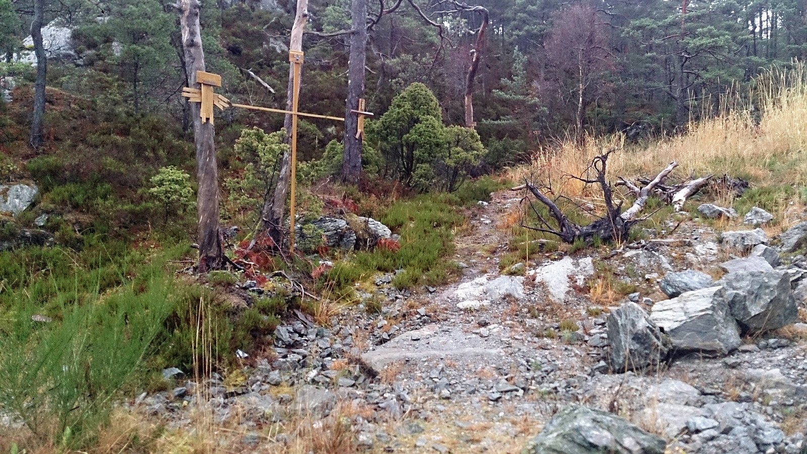
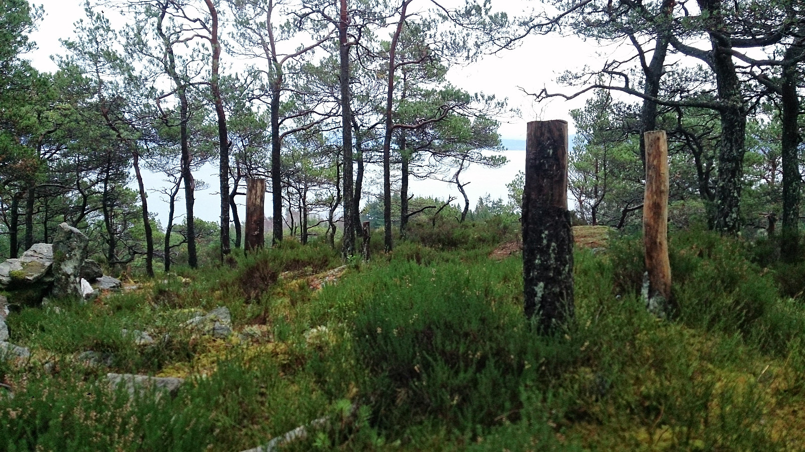
Started by taking the bus to Haljemsmarka snuplass and from there walking along the road up to the trailhead for Bjørnaåsen in between Haljemsmarka 296 and 298. The trailhead was not marked (by name), but it did contain several wooden sculptures (see picture).
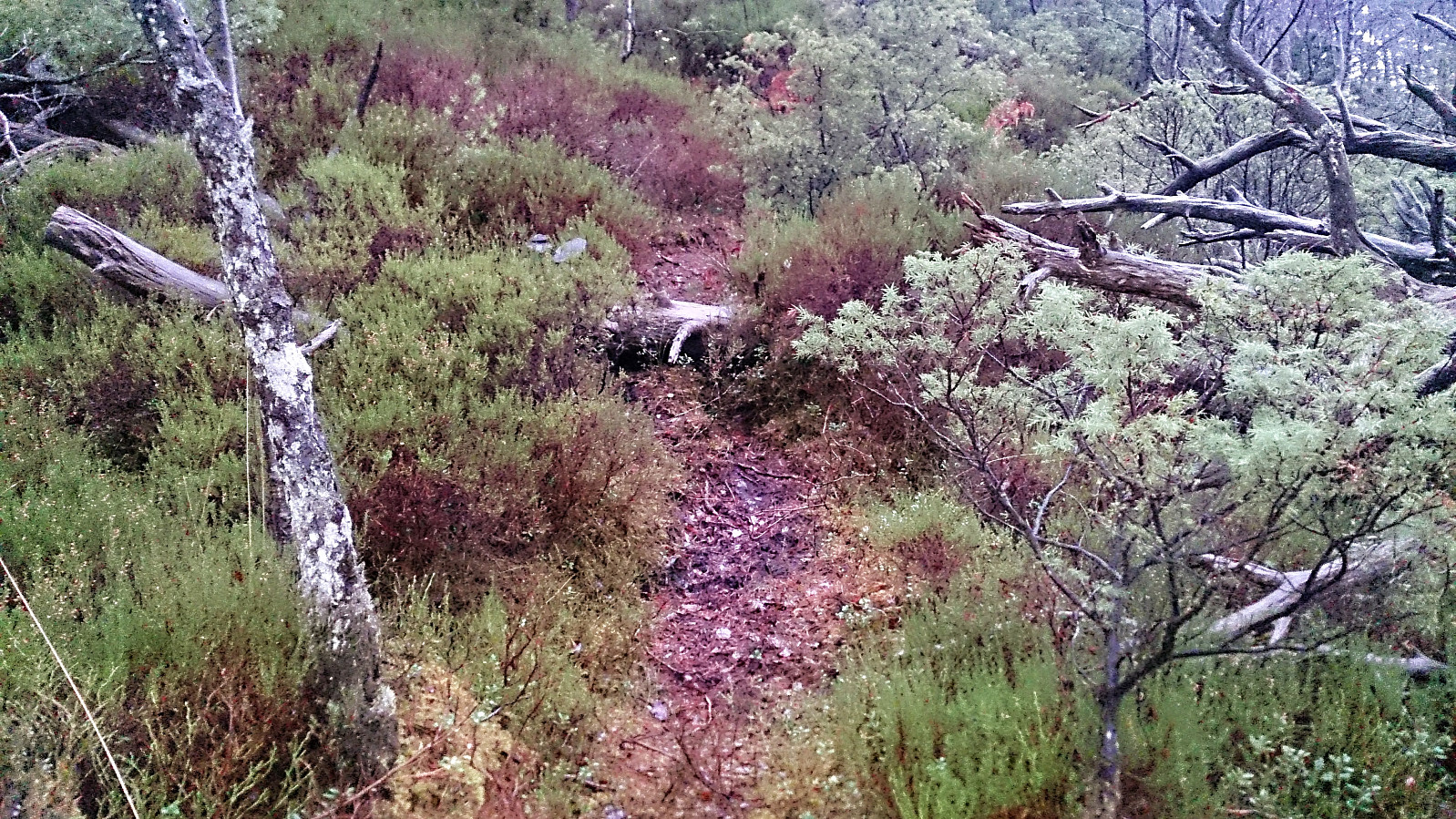
After reading previous trip reports on PB my expectations for Bjørnaåsen were not very high, but there was actually a clear, although very wet, trail that could be followed almost all the way to the summit.
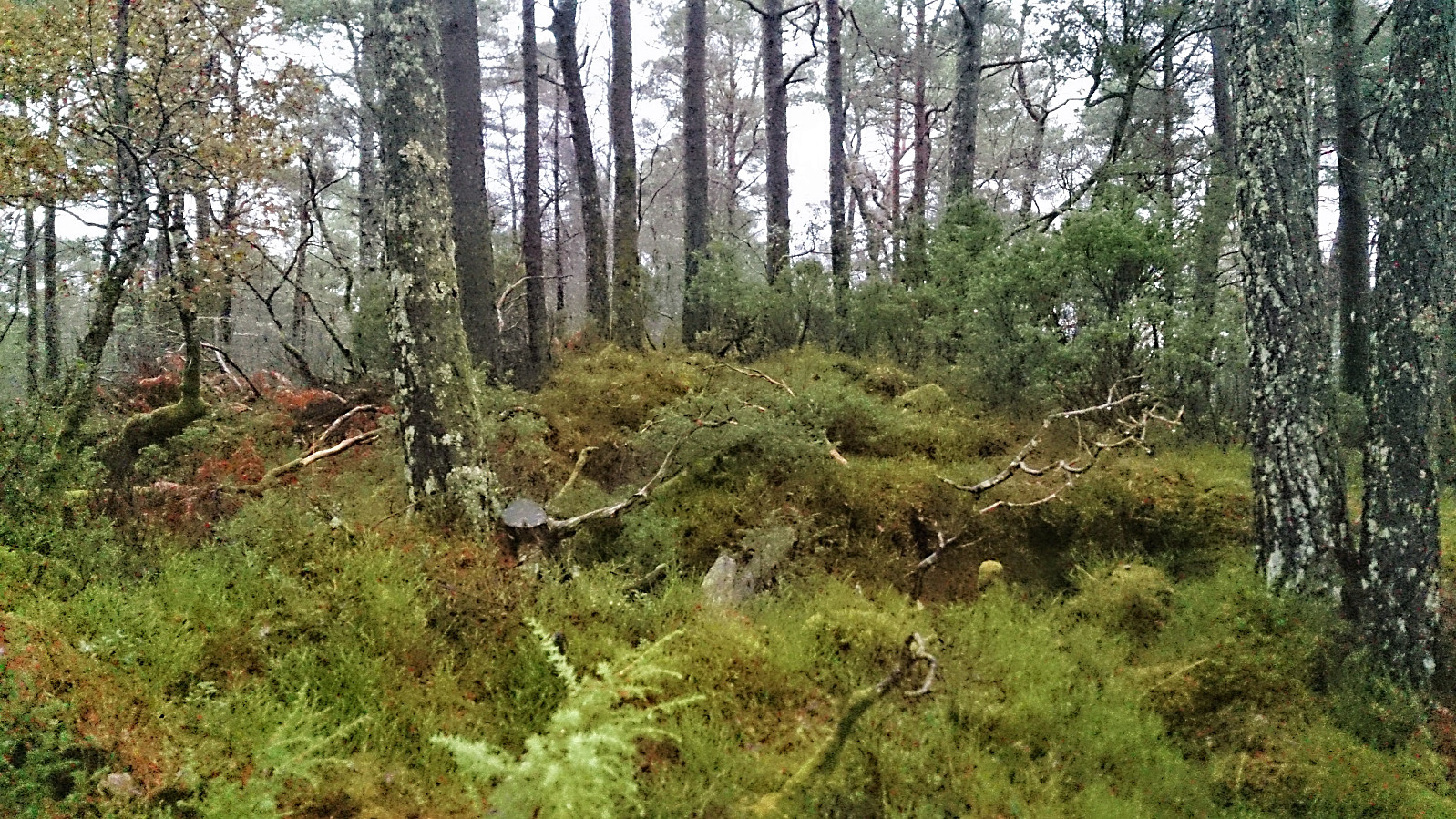
The trail was rather weak at times, and did not seem to pass by the summit, but it was still an improvement compared to having no trail. The summit provided close to no views due to all the trees, and I did not stay long before returning more or less the same way back down to the road.
Vassliåsen
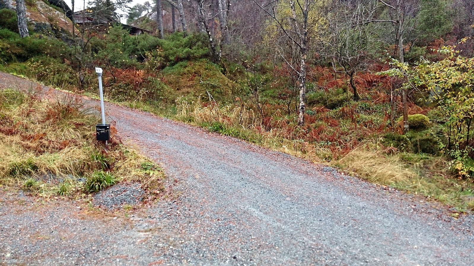
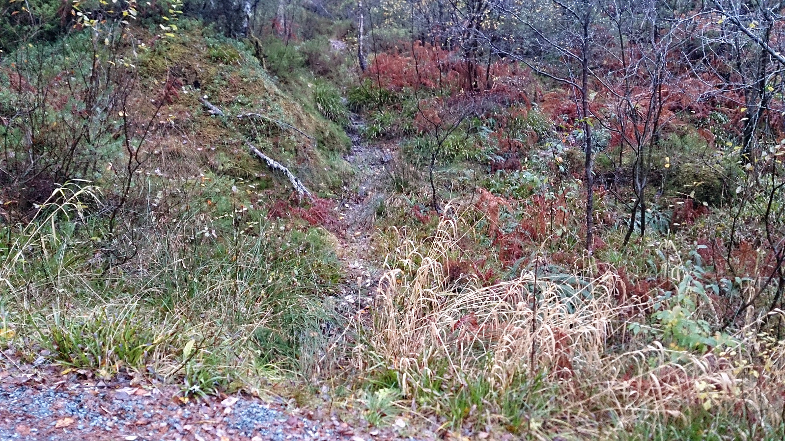
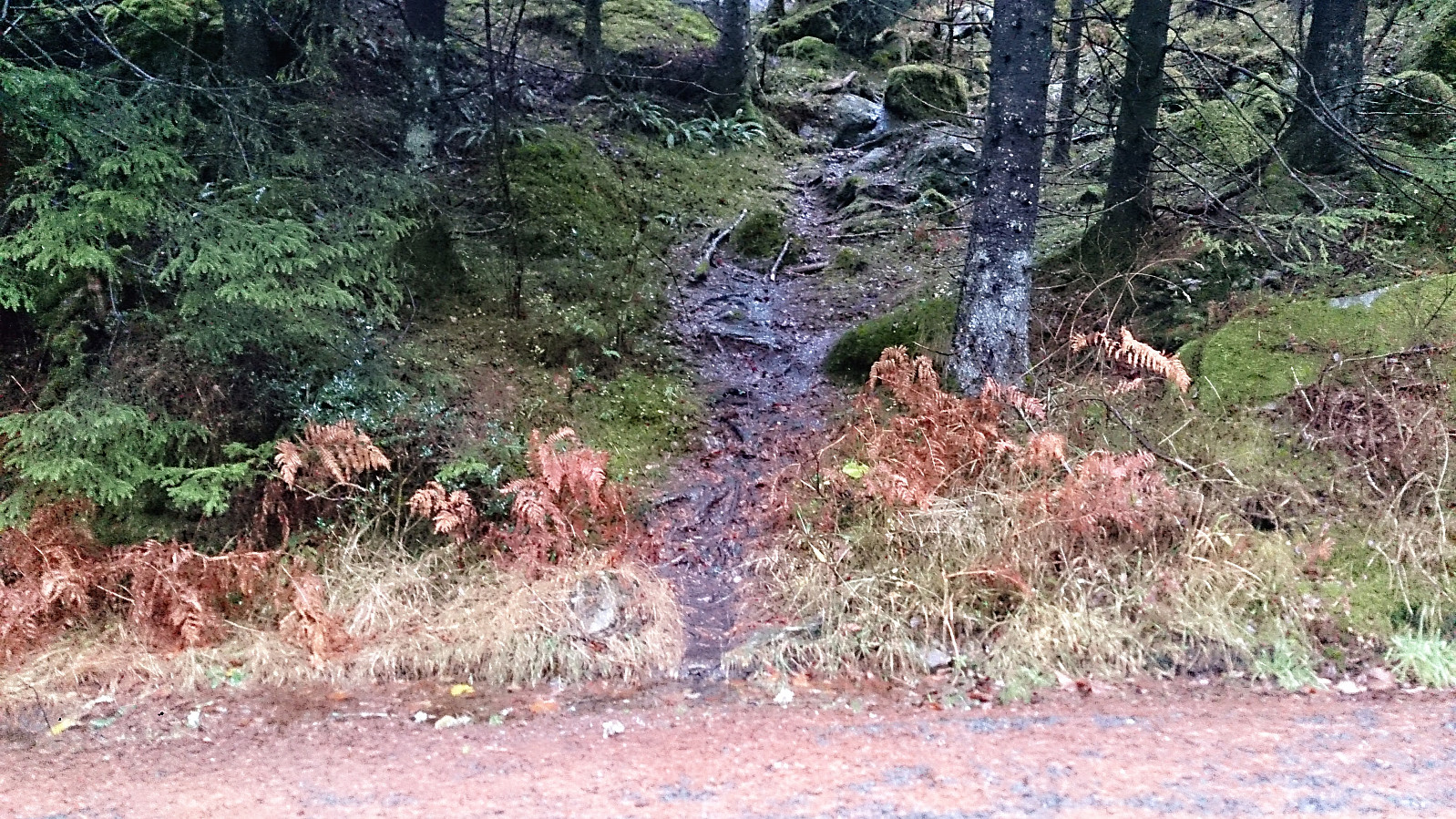
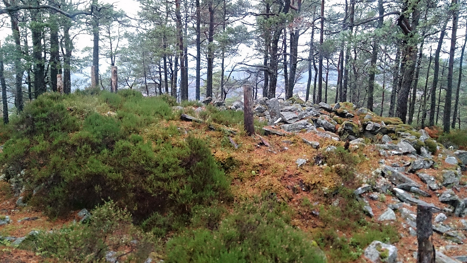
I doubled back to the bus stop and from there continued to Bjørnavegen for the next goal of the day: Vassliåsen. The trailhead was easy to locate (see pictures for details), although on such a wet day it was more of a stream than a trail.
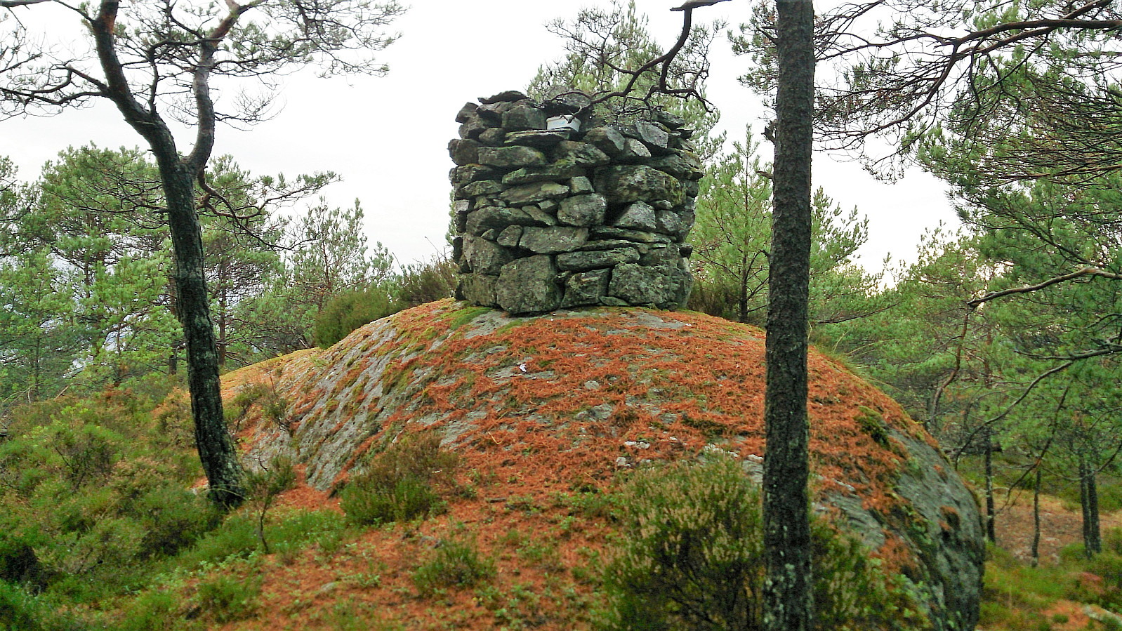
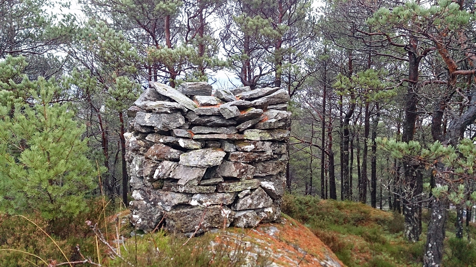
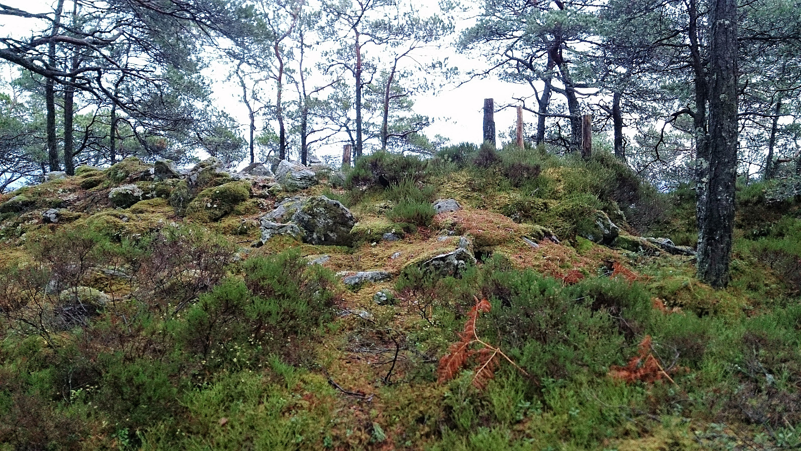
I quickly arrived at the summit and the impressively large cairn for such a small peak. Limited views from the summit, but better than at Bjørnaåsen, which could be seen from just south of the summit.
Stordalsåsen
Next, I returned to Bjørnavegen, and started looking for an ascent to Stordalsåsen, which was not yet included as a separate peak on PB, but from the map should be slightly higher than Vassliåsen.
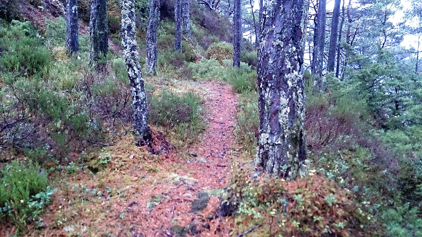
I located a potential trailhead on the north side of the road and started my climb, not knowing if I was following a proper trail or a deer track. The trail started out a bit weak, but as soon as it reached the first plateau, it turned into a very nice and easy to follow trail that took me all the way to the summit without any problems.
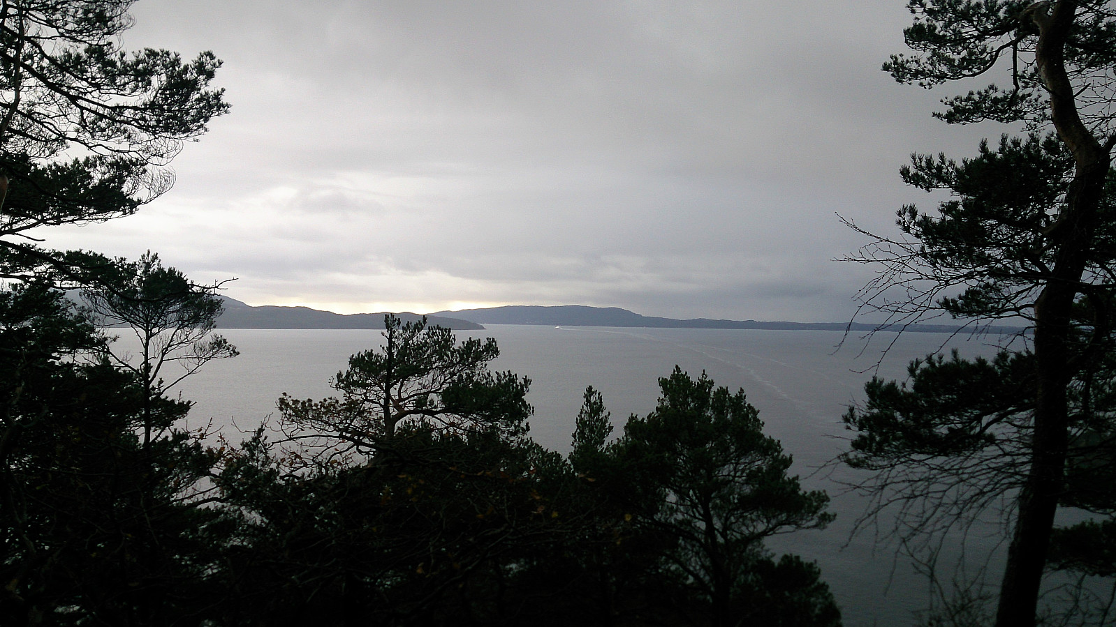
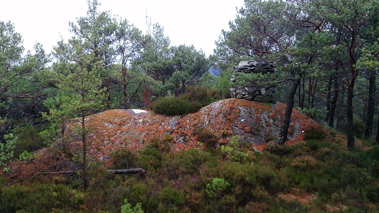
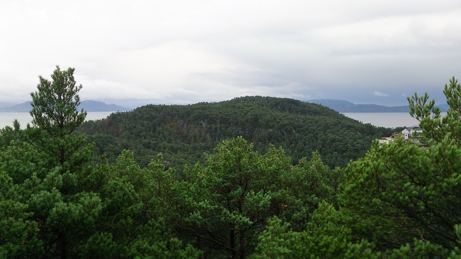
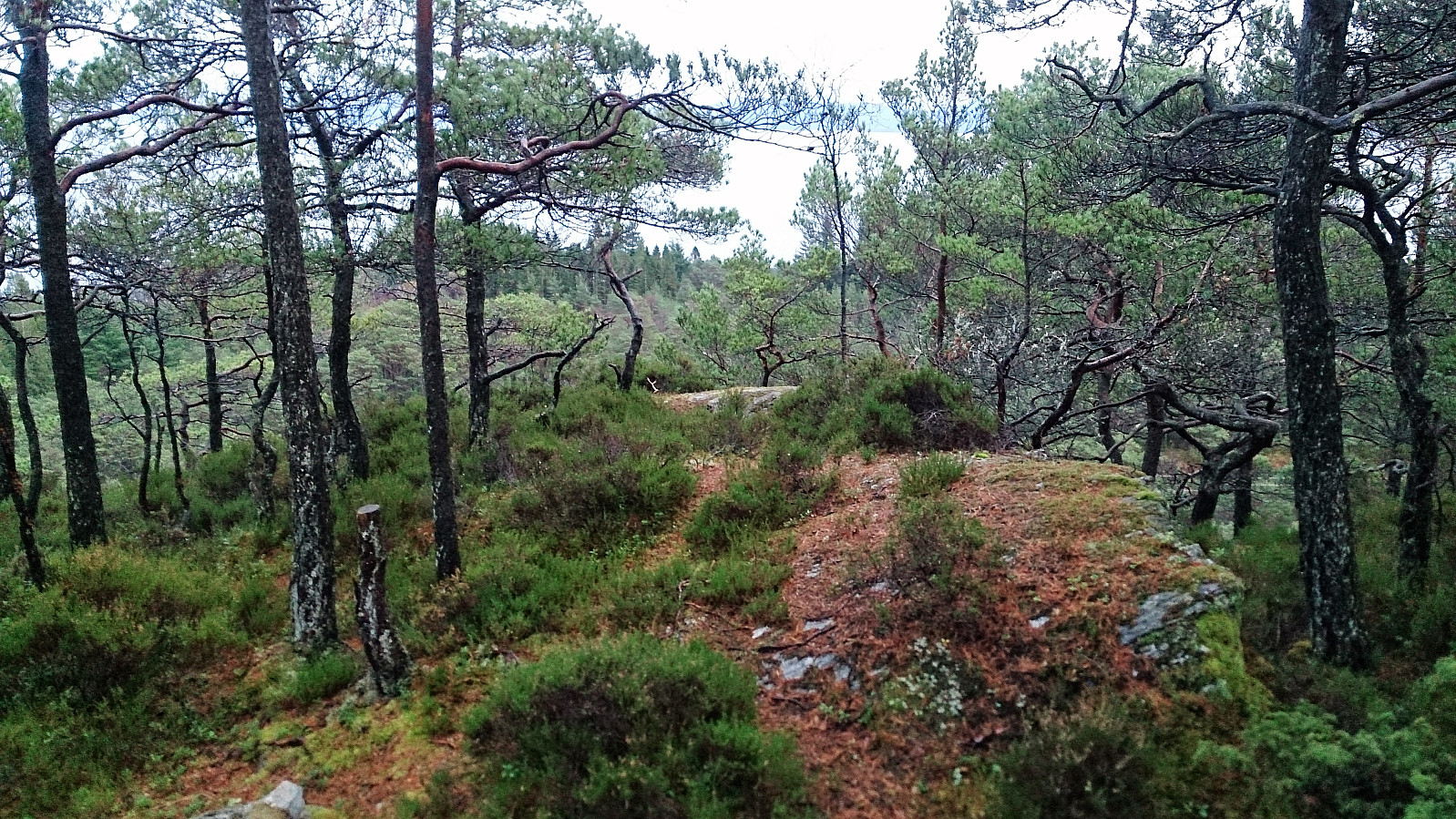
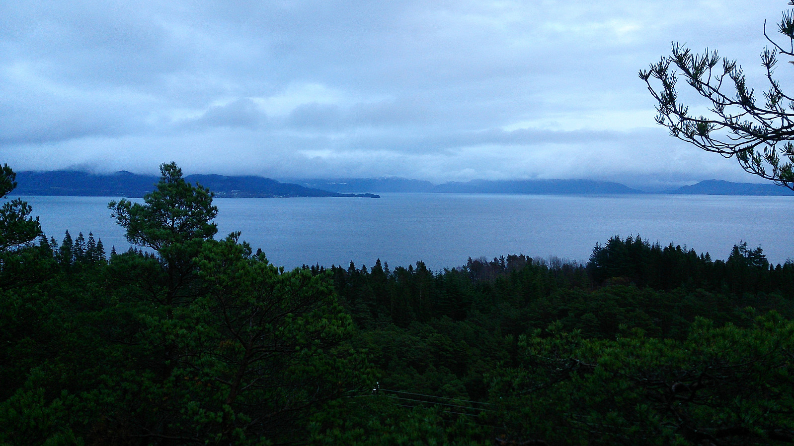
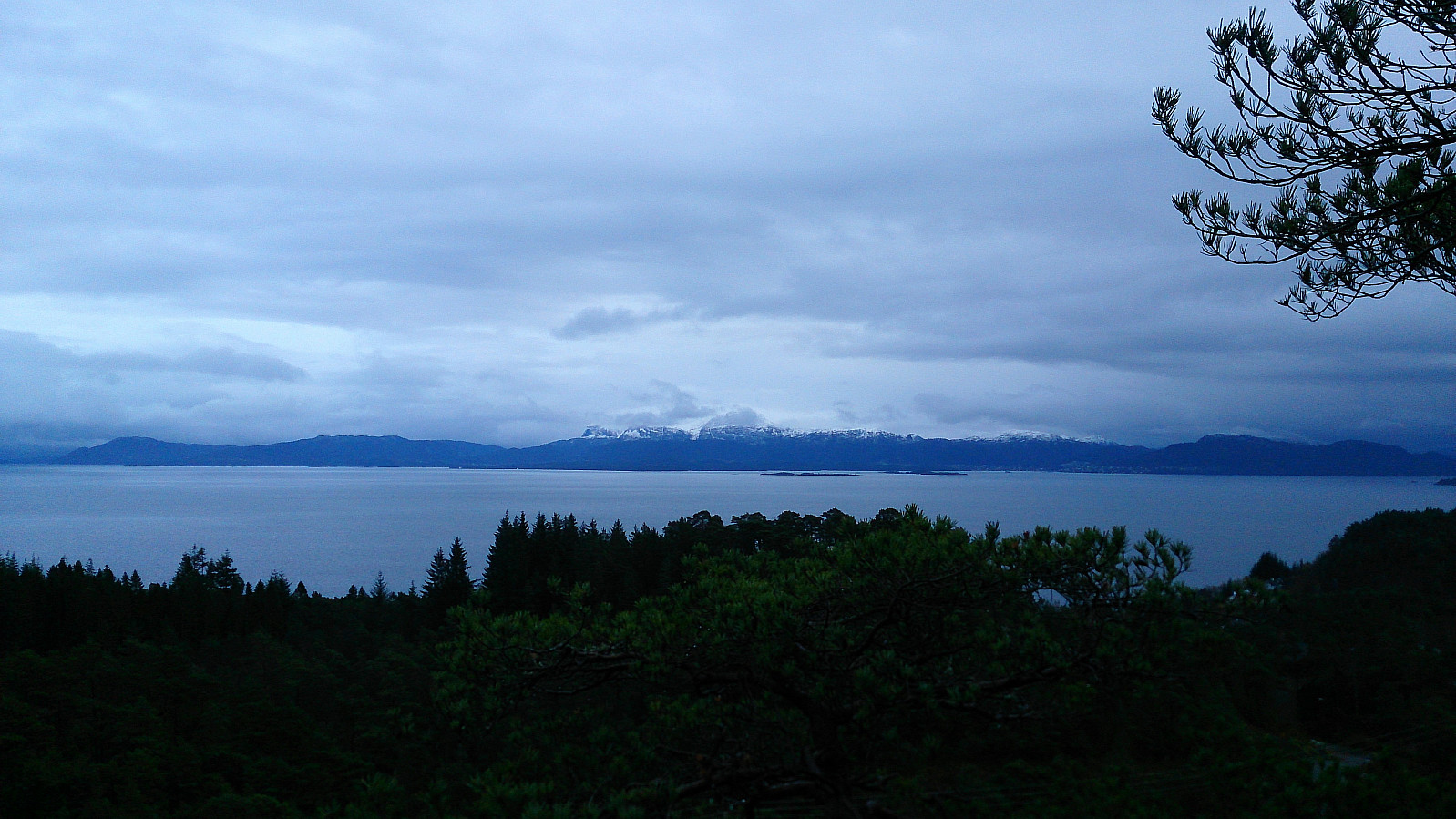
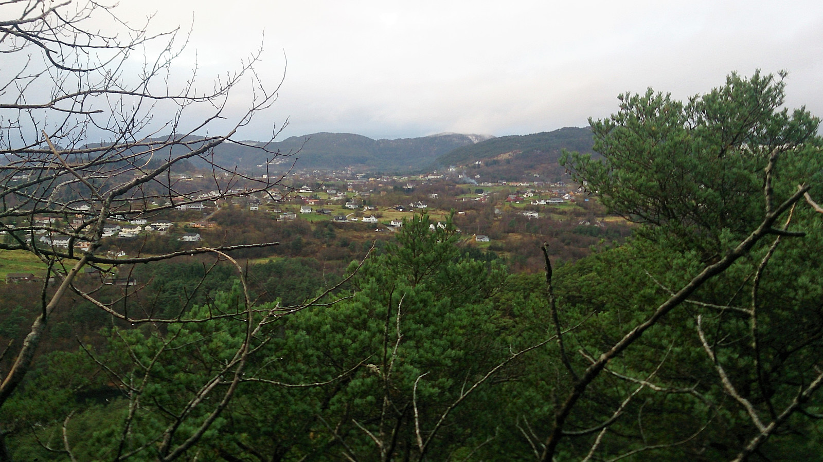
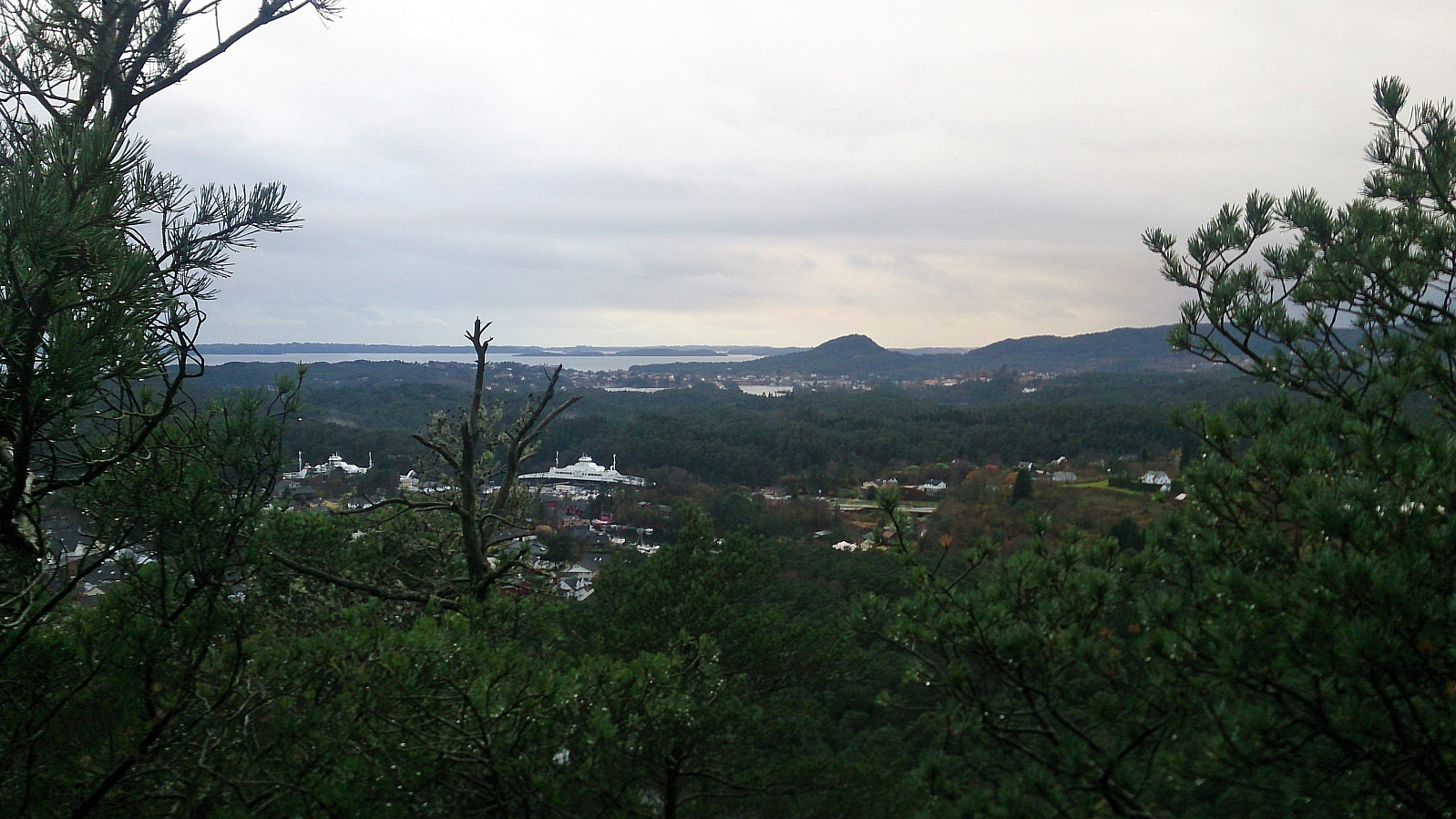
The views from the summit were a bit limited, but there was a very nice viewpoint a couple of meters to the east, with great views across Bjørnafjorden and towards Tysnes. The trail continued across the top, probably in the direction of Vargavågen, but I did not have the time to pursue this option, and instead returned to Bjørnavegen and then onwards to Haljem fergekai for the bus back to Bergen.
Conclusion
Bjørnaåsen was as uninteresting as expected, and clearly a summit that I will not be visiting again. The second half of the hike was more enjoyable, with Stordalsåsen being the positive surprise. Stordalsåsen has now been added as a separate PB-element, and one should definitely consider including a visit when doing the "mandatory" hike to Bjørnaåsen.
| Starttidspunkt | 11.11.2017 13:53 (UTC+01:00) |
| Sluttidspunkt | 11.11.2017 15:46 (UTC+01:00) |
| Totaltid | 1t 53min |
| Bevegelsestid | 1t 49min |
| Pausetid | 0t 4min |
| Snittfart totalt | 3,3km/t |
| Snittfart bevegelsestid | 3,5km/t |
| Distanse | 6,3km |
| Høydemeter | 309m |

Kommentarer