Raunåsen and Sjøbøhaugane (22.10.2017)

| Startpunkt | Søfteland (54m) |
|---|---|
| Endpunkt | Gåssandskiftet (57m) |
| Tourcharakter | Bergtour |
| Tourlänge | 2h 51min |
| Entfernung | 8,9km |
| Höhenmeter | 425m |
| GPS |
|
| Besteigungen | Raunåsen (231m) | 22.10.2017 |
|---|---|---|
| Sjøbøhaugane (116m) | 22.10.2017 |
Raunåsen and Sjøbøhaugane
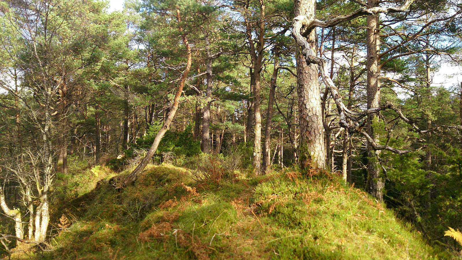
Raunåsen
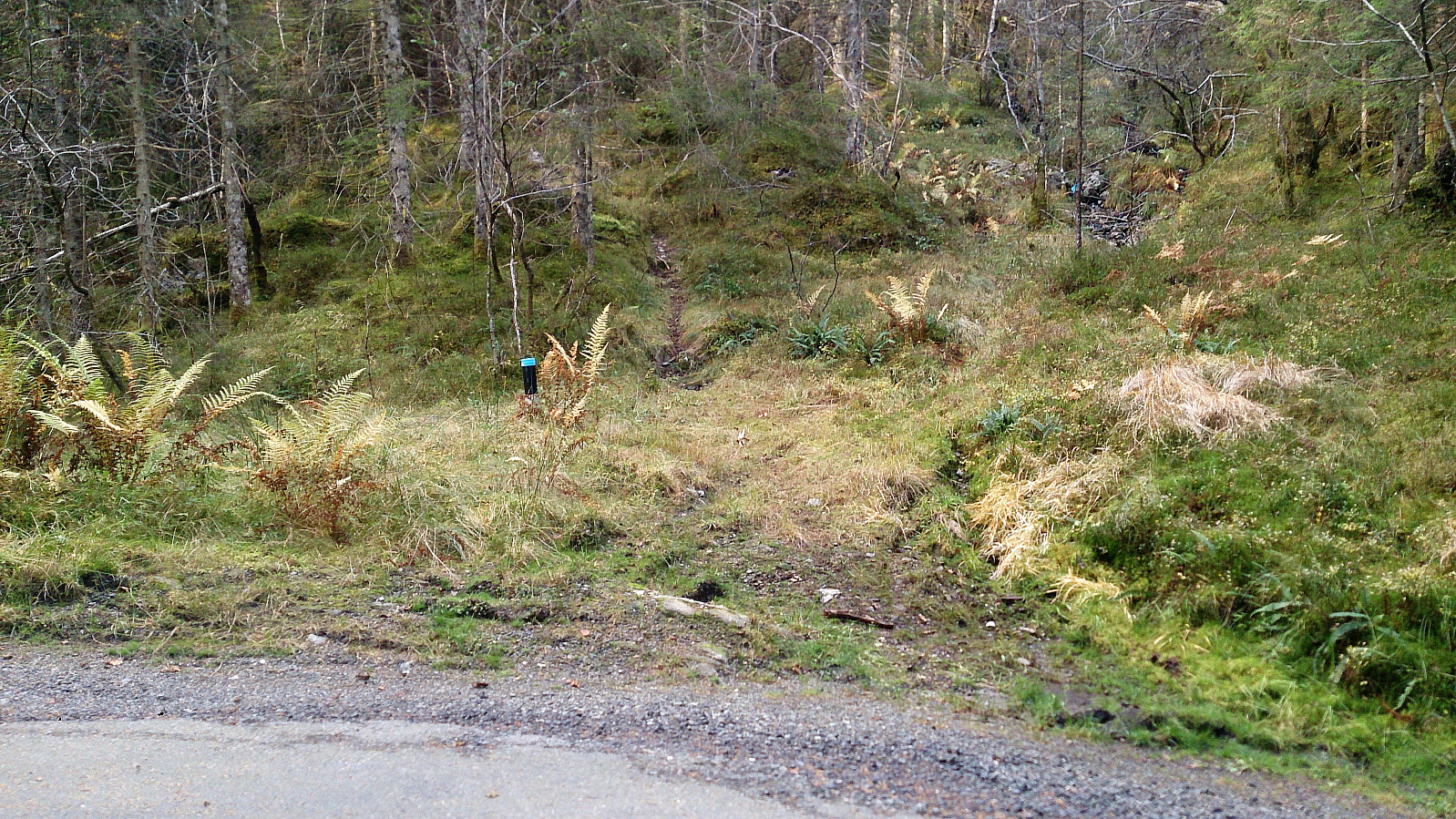
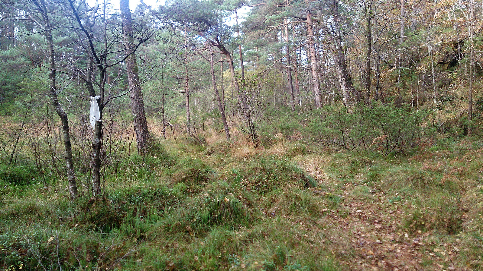
Started by taking the bus to Søfteland and walking up Langedalen to arrive at the trailhead for Raunåsen located in the first bend of the road after passing the last house. The trailhead was unmarked, but the trail itself was marked with various plastic ribbons.
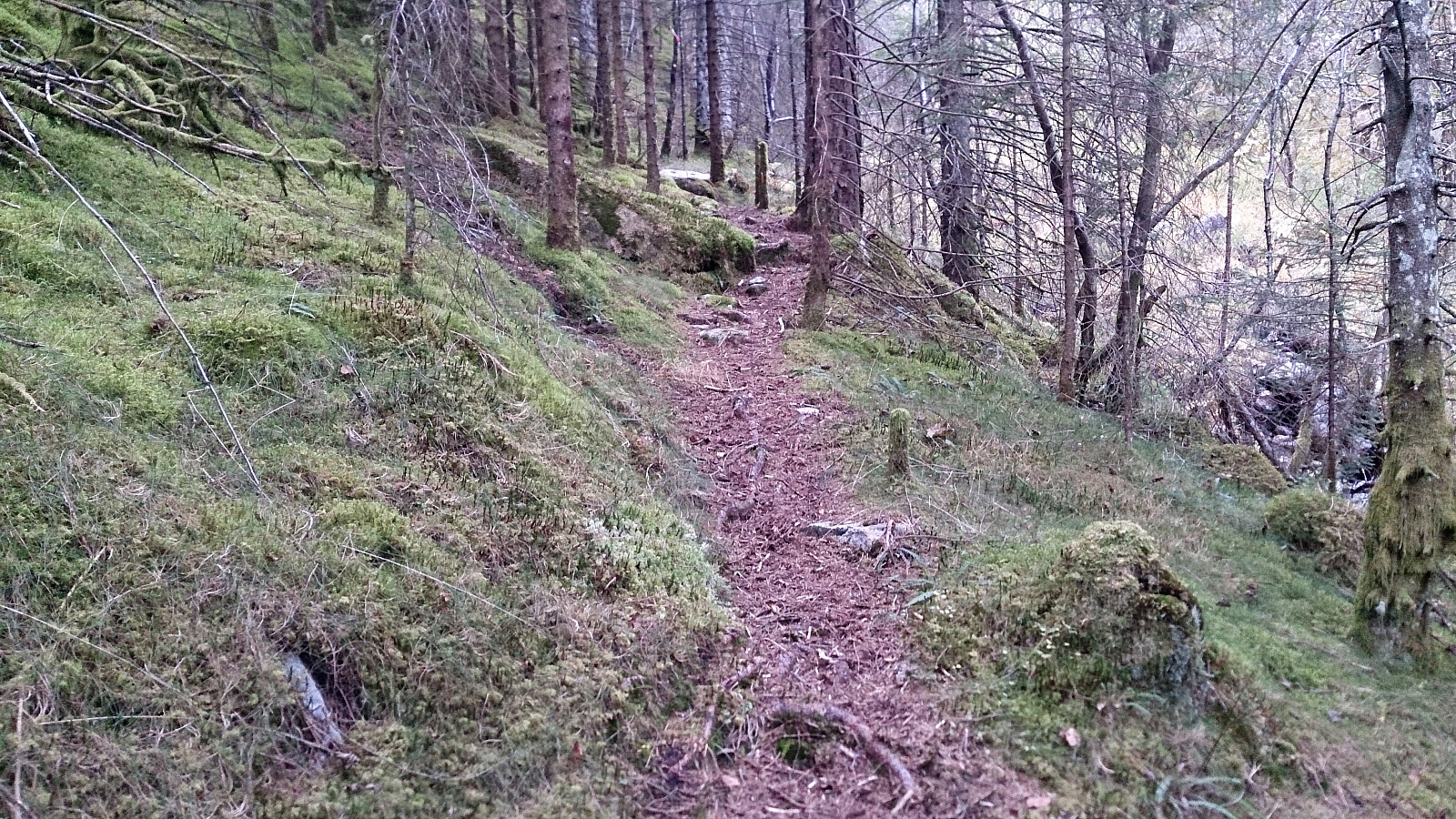
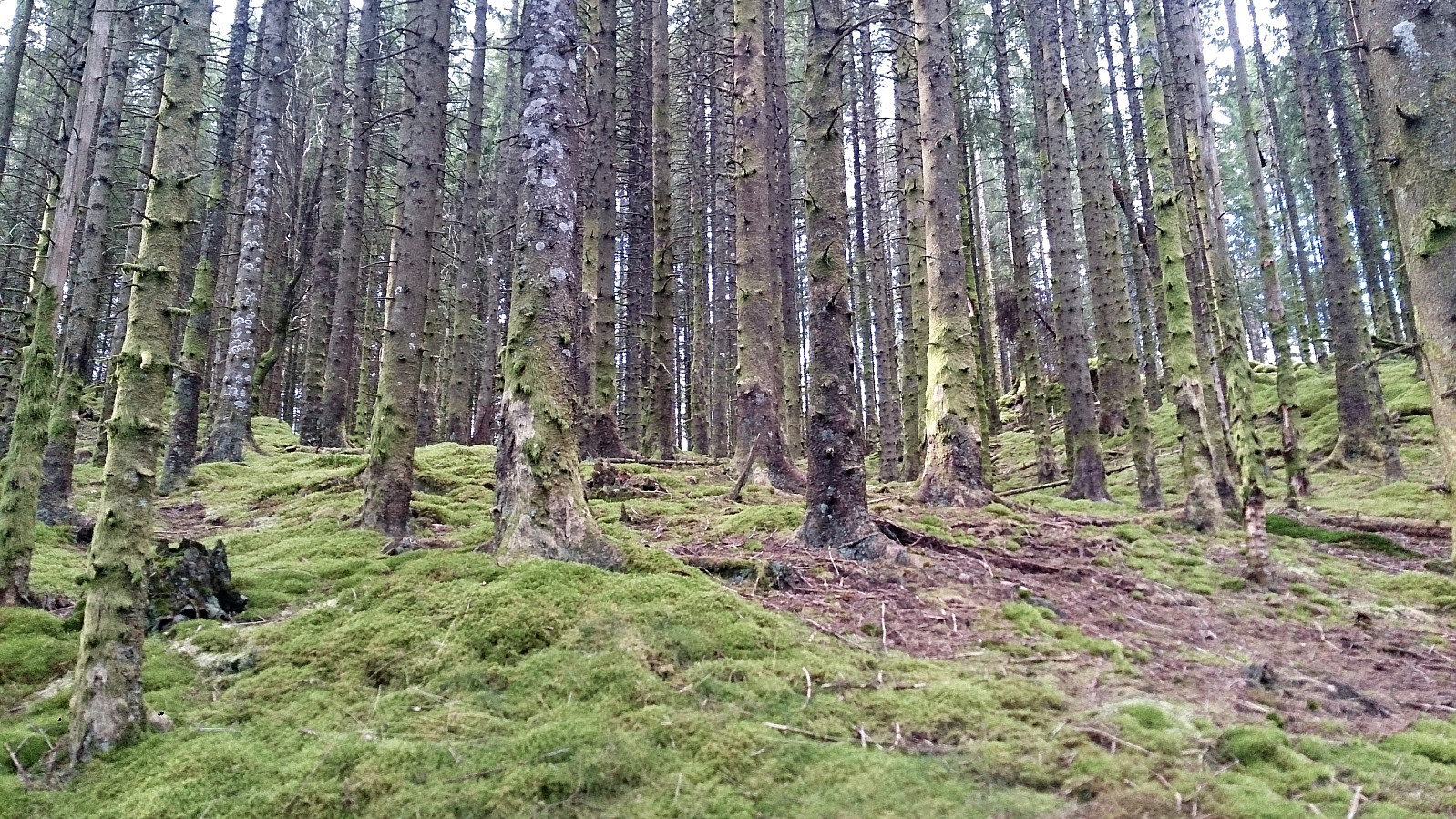
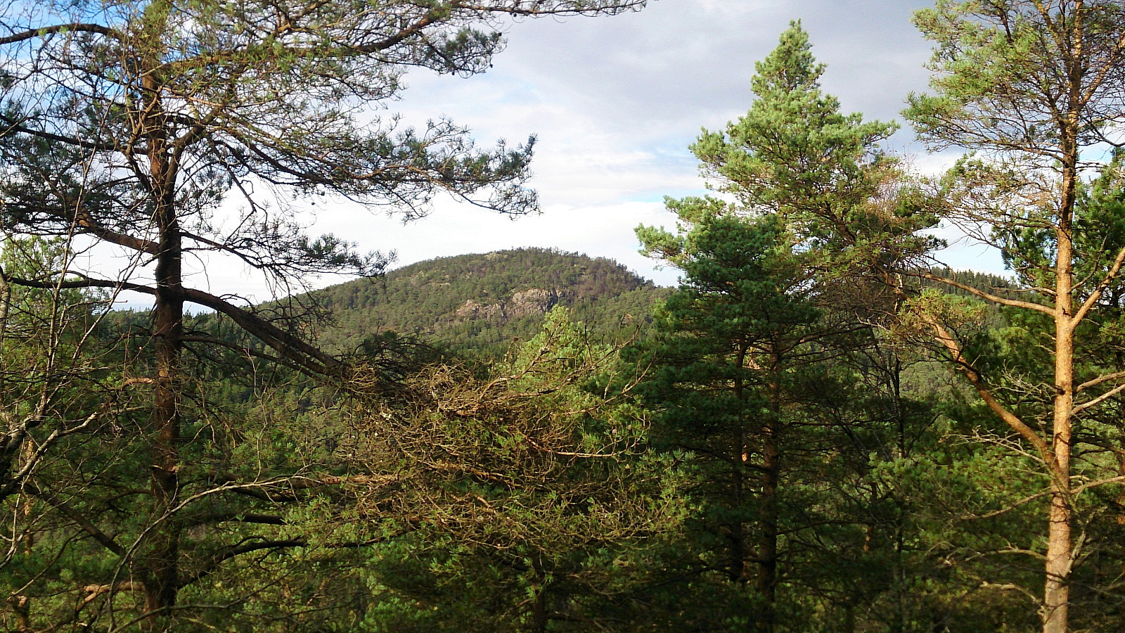
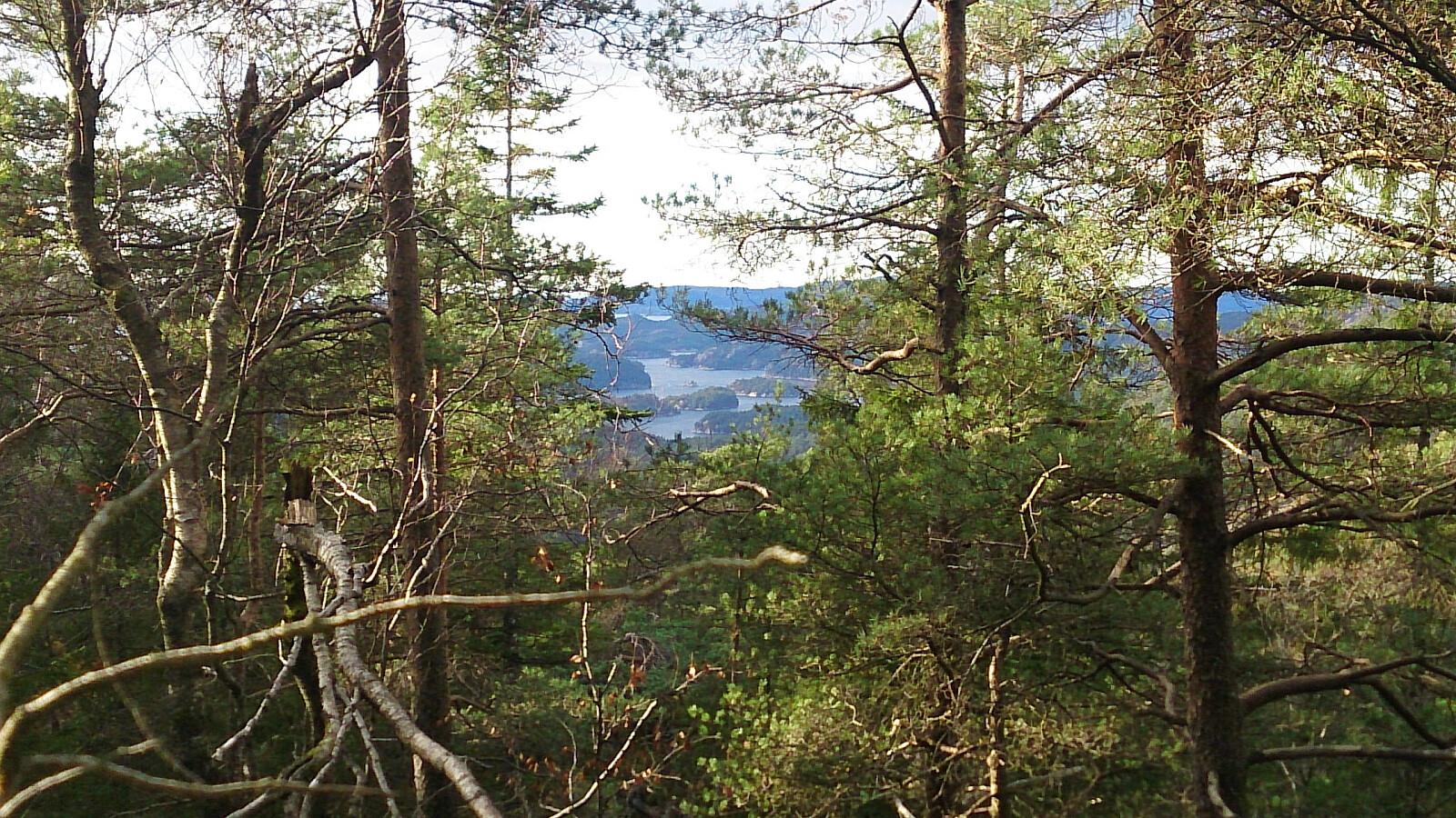
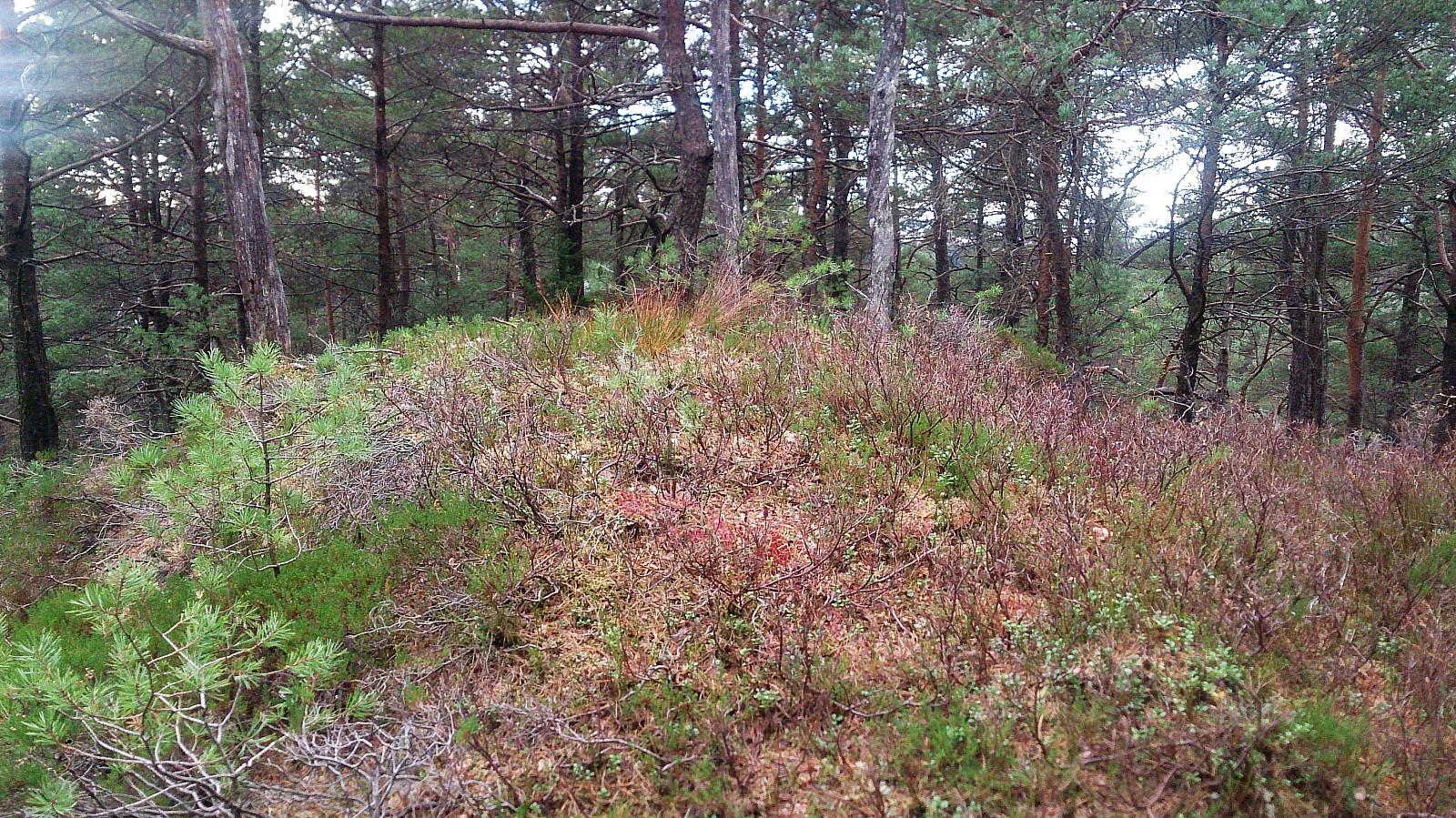
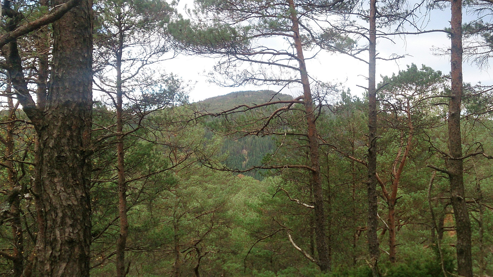
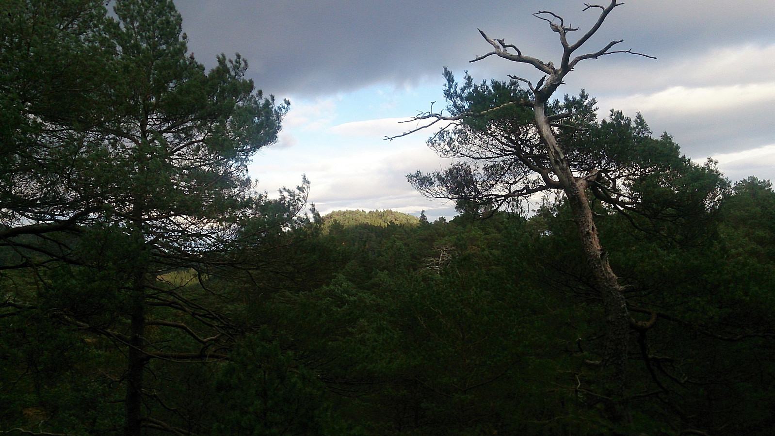
The trail was however quickly replaced by numerous deer tracks, which I partially followed on my way to the summit. The terrain was full of trees and a bit disorienting, hence the GPS was good to have when trying to locate the highest point. The summit provided limited views, but both Lyshornet and Lysefjorden could be spotted in-between the trees.
From the summit I followed more or less the same route back down, but included a short visit to the northeastern summit just to make sure that it was indeed the lower of the two.
Sjøbøhaugane
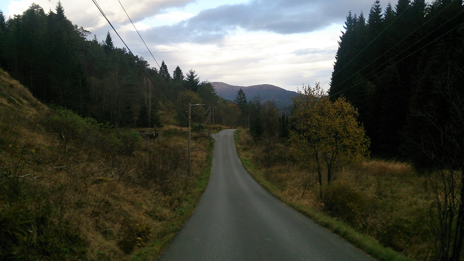
Upon reaching the road I continued southwest to Lyseklostervegen and at the first crossroads headed left (south), and then right (west) into Fjellanger Hundesenter to locate a trailhead for Sjøbøhaugane. After crossing the small stream I started following the trail west, until rather deciding to head straight for the summit.
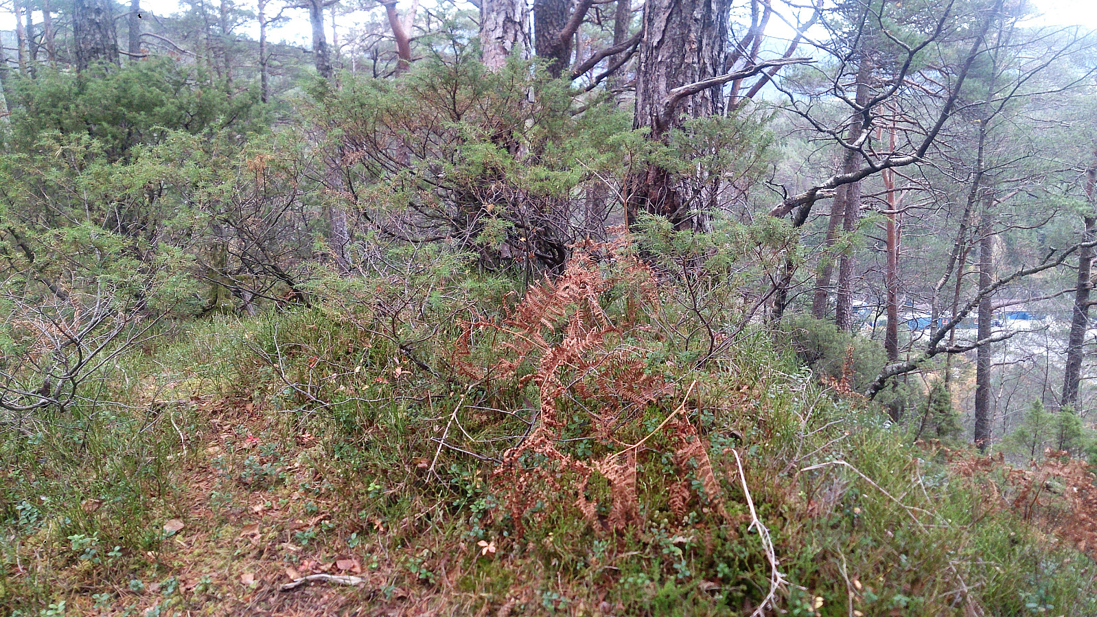
I soon happened upon a marked trail heading north, which I followed until almost reaching the end of the big marsh, when it became clear that the marked trail was not heading towards the summit. Making my own way towards the summit was not too difficult though, as again there were lots of deer tracks that could be utilized.
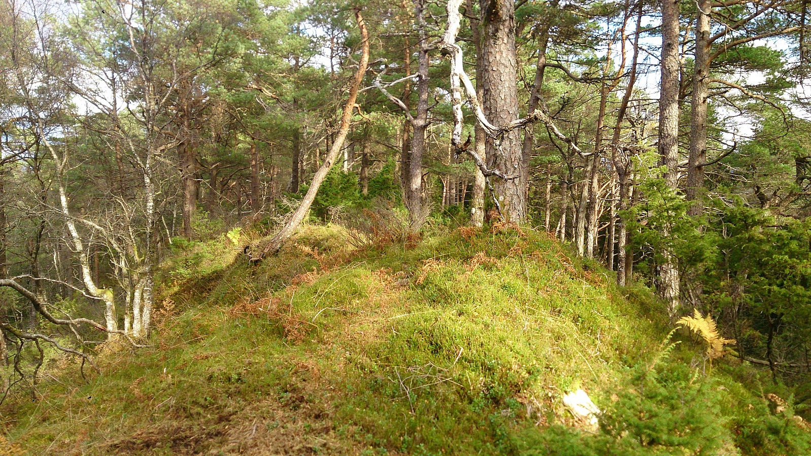
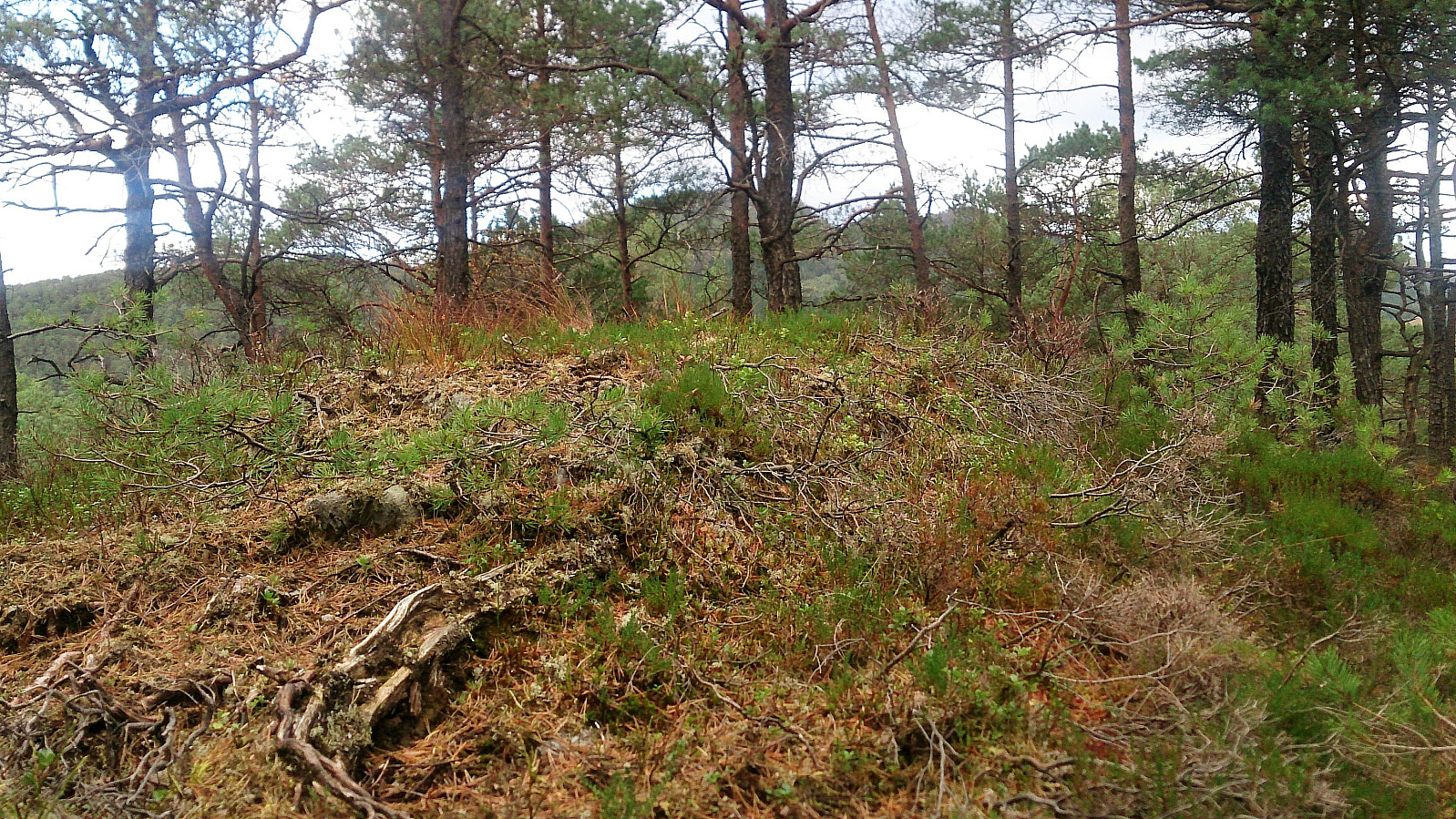
The summit provided very limited views, although both Lyshornet and Raunåsen could be spotted in-between the trees. Before leaving Sjøbøhaugane I included a quick visit to the ridge southeast of the indicated summit, as I had a feeling that this might actually be higher. My GPS is not accurate enough to know for sure, but to me it seemed to be slightly higher. I guess the question is if this ridge is part of Sjøbøhaugane or not?
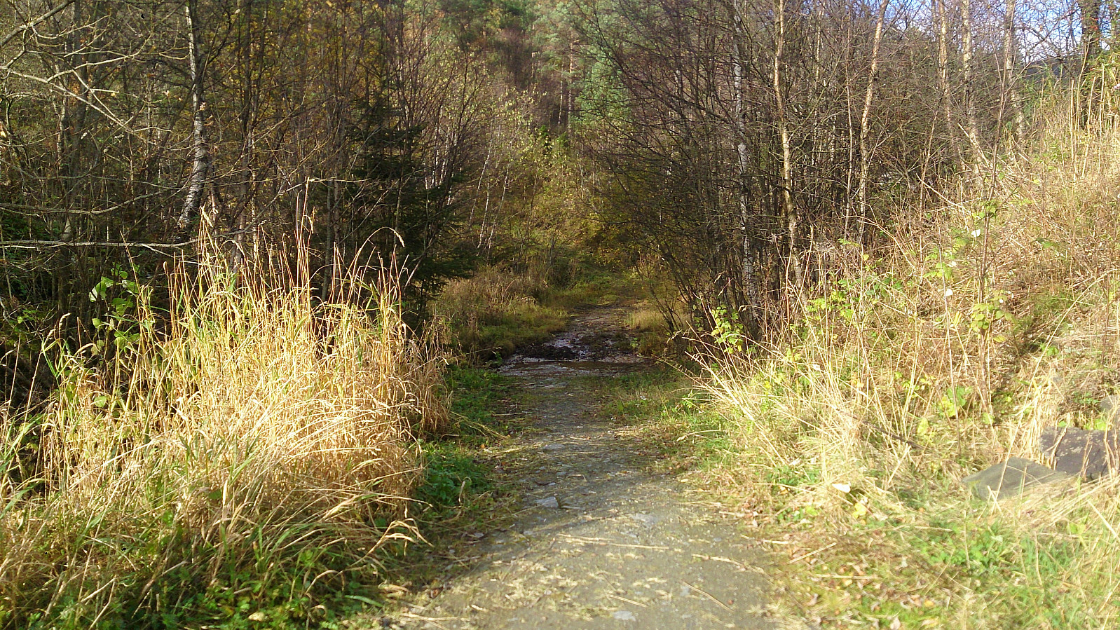
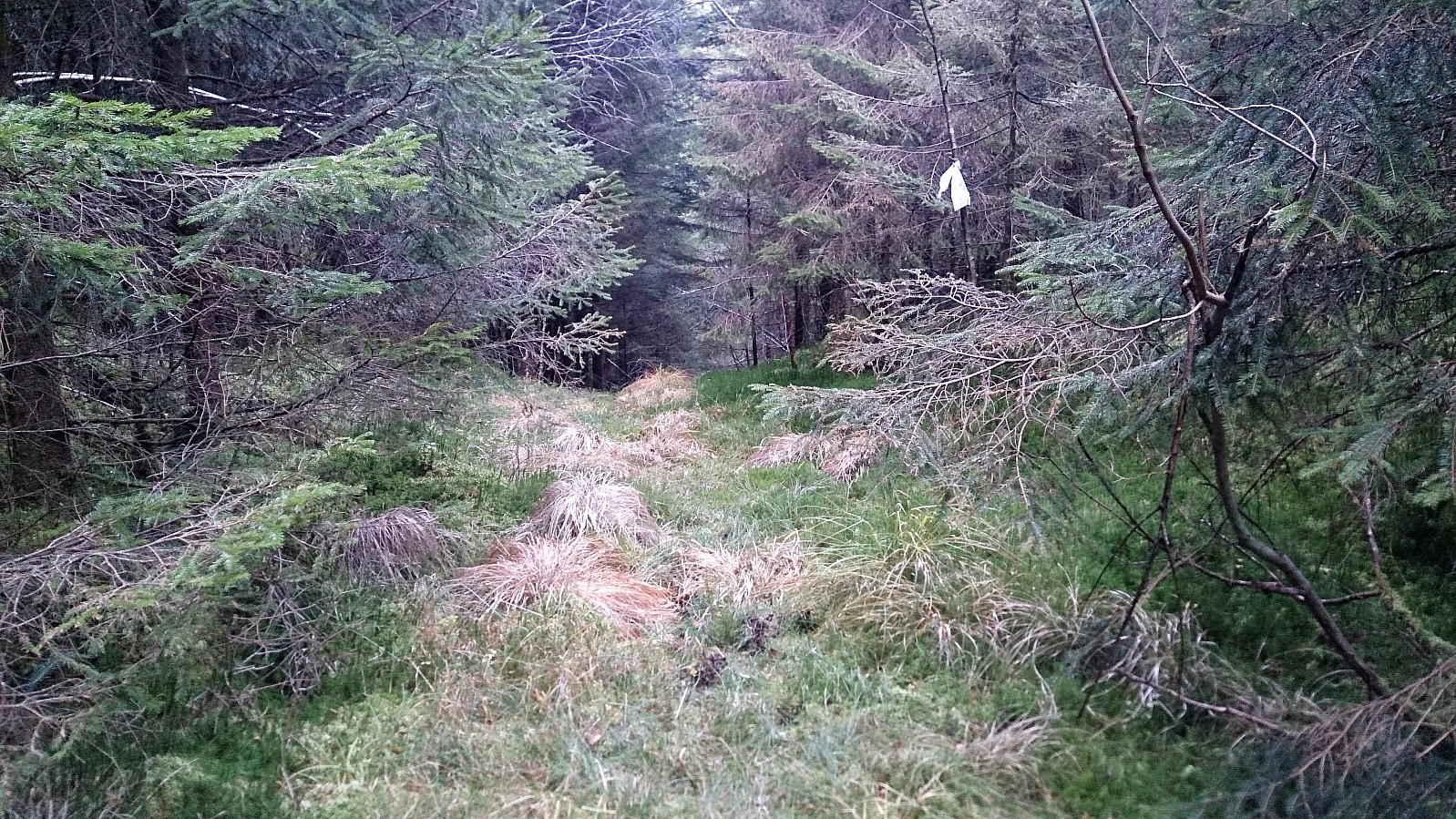
From the unnamed ridge I returned to the marsh, from where I made a shortcut northeast to reconnected with the marked trail, which I then followed back to Lyseklostervegen. It should be noted that while this trail is marked, it does not seem to be much used, at least if one does not count the deer, and mainly consisted of wet and muddy areas.
Conclusion
Raunåsen turned out better than expected. Not so such much in terms of the views, but with regards to how straightforward it was to reach the highest point. Sjøbøhaugane on the other hand was not a highlight and not really worth a visit.
| Startzeitpunkt | 22.10.2017 13:26 (UTC+01:00 SZ) |
| Endzeitpunkt | 22.10.2017 16:17 (UTC+01:00 SZ) |
| Gesamtzeit | 2h 51min |
| Zeit in Bewegung | 2h 38min |
| Pausenzeit | 0h 12min |
| Gesamtschnitt | 3,1km/h |
| Bewegungsschnitt | 3,4km/h |
| Entfernung | 8,9km |
| Höhenmeter | 425m |

Benutzerkommentare