Kongevegen - from Barsnesfjorden to Hafslovatnet (29.07.2017)

| Startsted | Årøy (26moh) |
|---|---|
| Sluttsted | Årøy (29moh) |
| Turtype | Fottur |
| Turlengde | 3t 24min |
| Distanse | 9,4km |
| Høydemeter | 438m |
| GPS |
|
| Bestigninger | Orrabruhaugen (295moh) | 29.07.2017 |
|---|---|---|
| Andre besøkte PBE'er | Bygdeborg (140moh) | 29.07.2017 |
| Fantahilleren (265moh) | 29.07.2017 | |
| Futaspranget (100moh) | 29.07.2017 | |
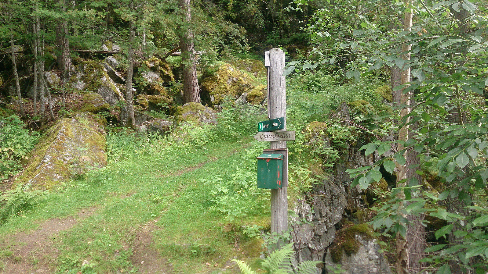
| Olavskjelda (195moh) | 29.07.2017 |
Kongevegen - from Barsnesfjorden to Hafslovatnet
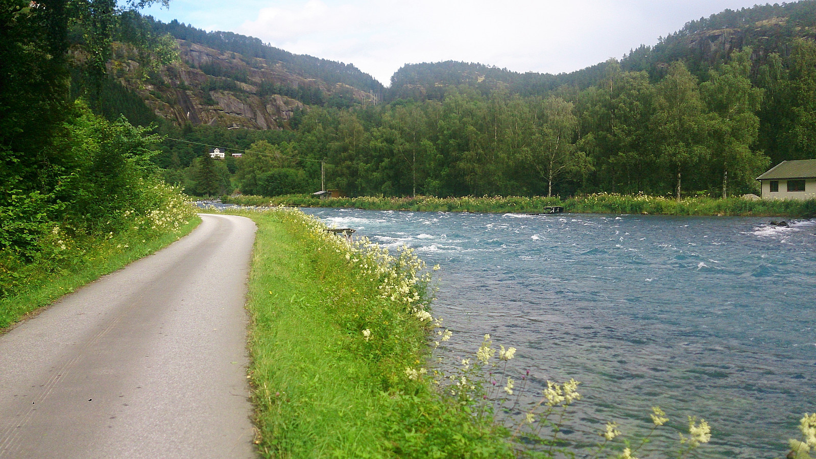
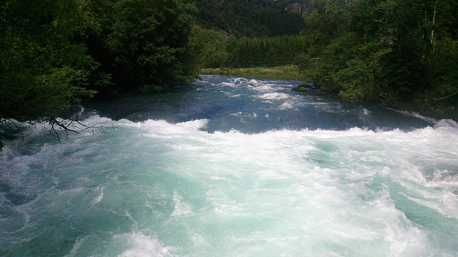
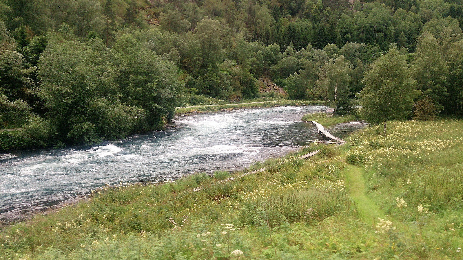
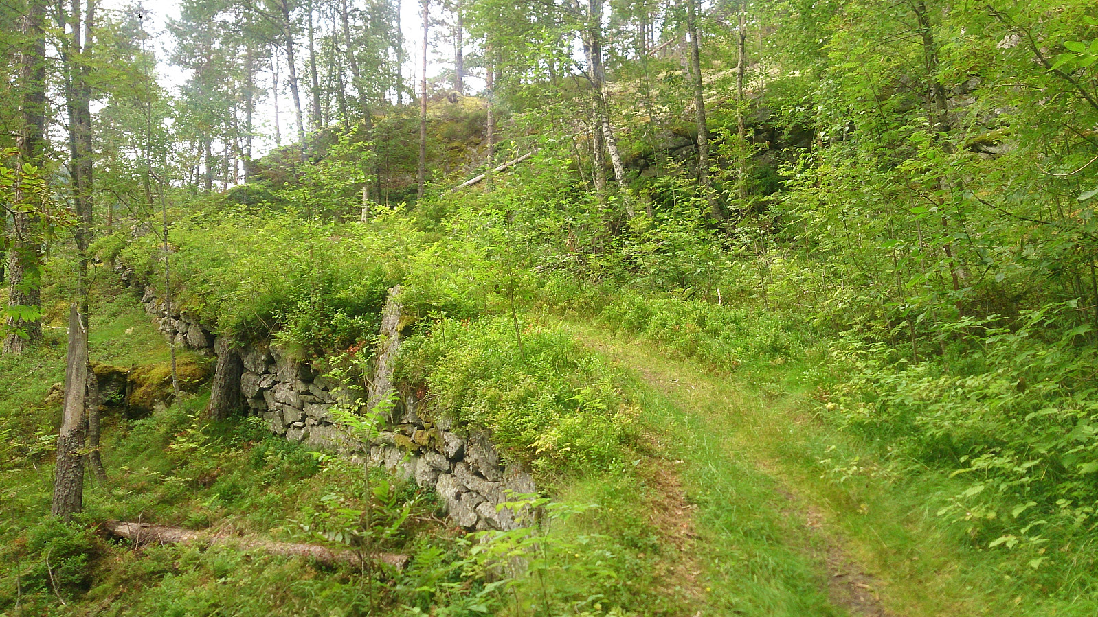
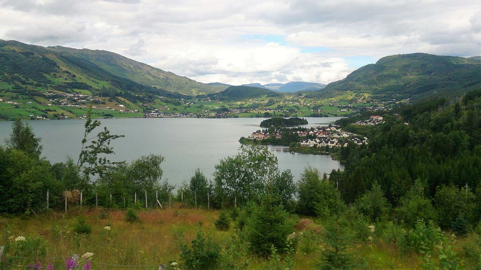
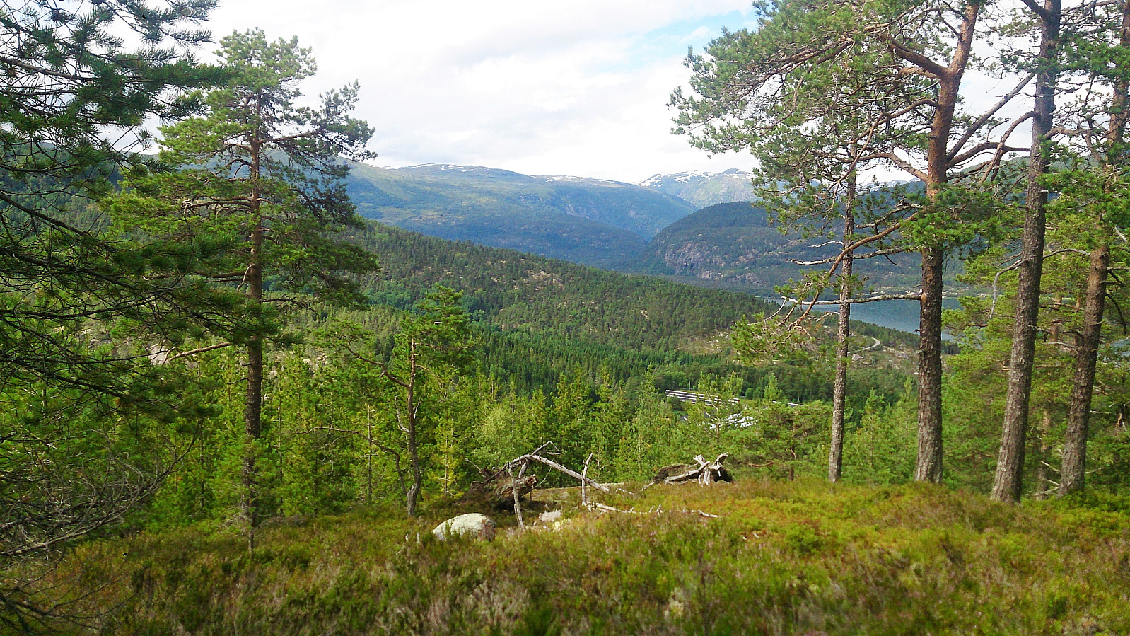
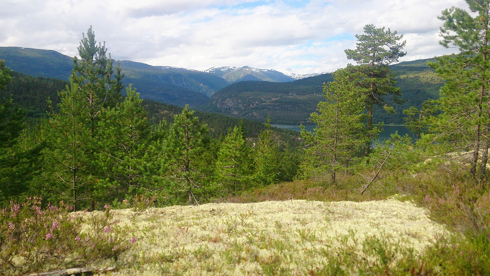
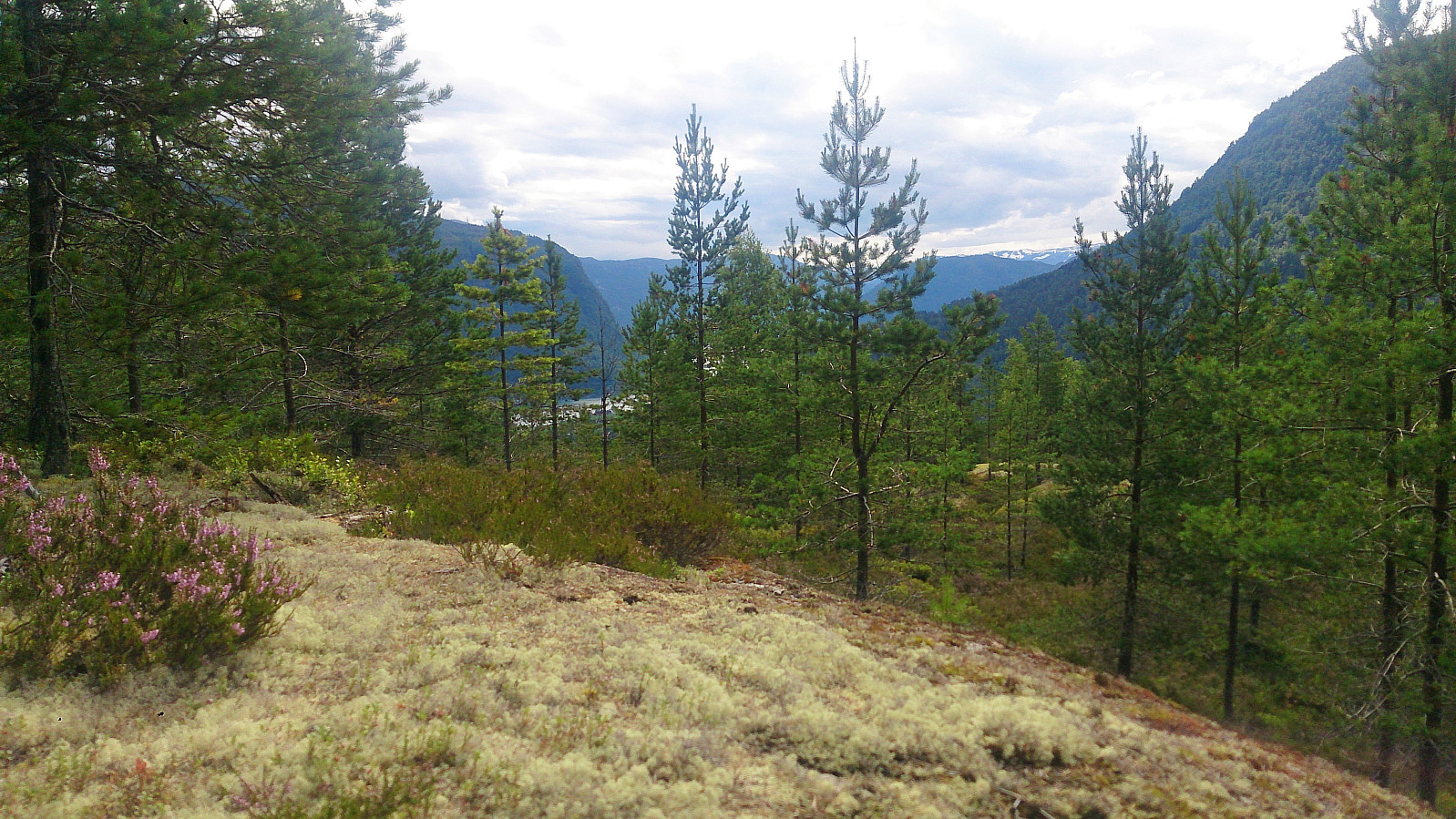
We found a parking spot by Årøyelvi and from there walked back to the bridge crossing the river. From three followed the marked trail to Okleviki until we could see Hafslovatnet, before taking the same trail back to the car, with the exception of a quick detour to Orrabruhaugen (no trails).
Not the most exciting hike, but not too bad either. The best part was perhaps the walk along the river at the start of the hike. Too bad the rest of the river runs inside the mountain as it is now used for generating electricity.

| Starttidspunkt | 29.07.2017 12:22 (UTC+01:00 ST) |
| Sluttidspunkt | 29.07.2017 15:47 (UTC+01:00 ST) |
| Totaltid | 3t 24min |
| Bevegelsestid | 3t 01min |
| Pausetid | 0t 22min |
| Snittfart totalt | 2,8km/t |
| Snittfart bevegelsestid | 3,1km/t |
| Distanse | 9,4km |
| Høydemeter | 438m |

Kommentarer