Skriki from Øvstedalen (25.07.2017)

| Startsted | Mannsverk p-plass (365moh) |
|---|---|
| Sluttsted | Mannsverk p-plass (365moh) |
| Turtype | Fjelltur |
| Turlengde | 4t 25min |
| Distanse | 9,9km |
| Høydemeter | 952m |
| GPS |
|
| Bestigninger | Skriki (1232moh) | 25.07.2017 |
|---|---|---|
| Skriki sør (1227moh) | 25.07.2017 | |
| Andre besøkte PBE'er | Mannsverk p-plass (365moh) | 25.07.2017 |
Skriki from Øvstedalen
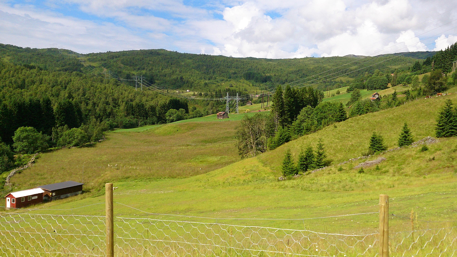
Started from the nice big parking lot in Øvstedalen. The trailhead was not marked, but was easily located by walking back to the previous bend in the road where there was a second much smaller parking lot, and from there following the trail. A sign soon appeared indicating that we were on the right track. From this point the trail was marked and easy to follow (with one important exception that we will come back to).
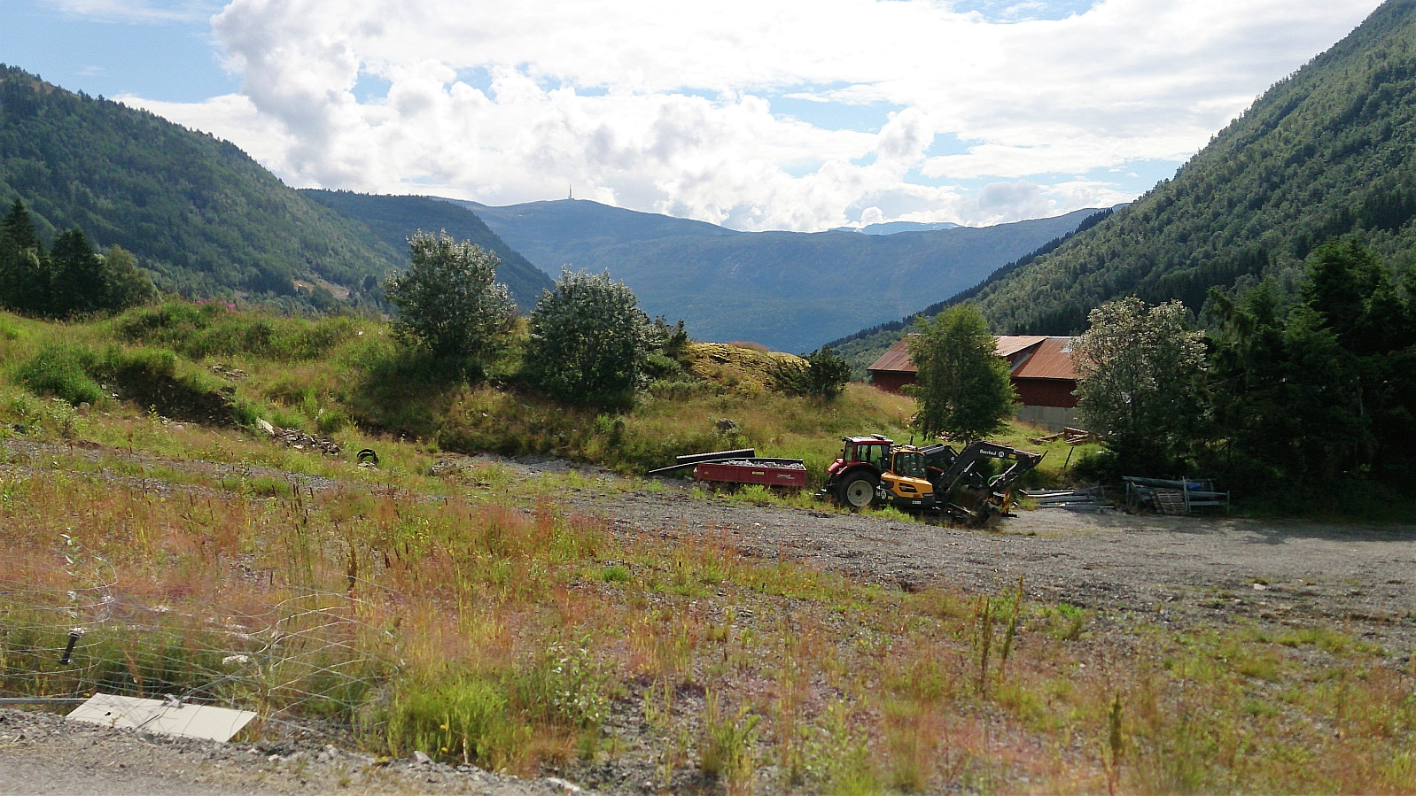
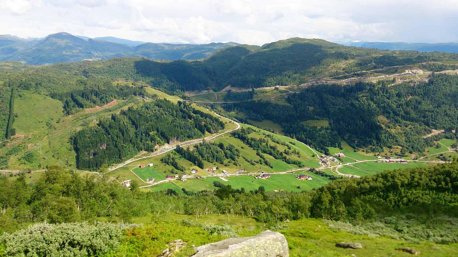
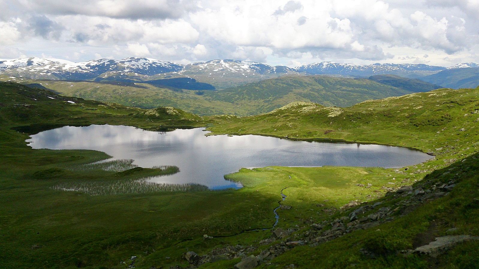
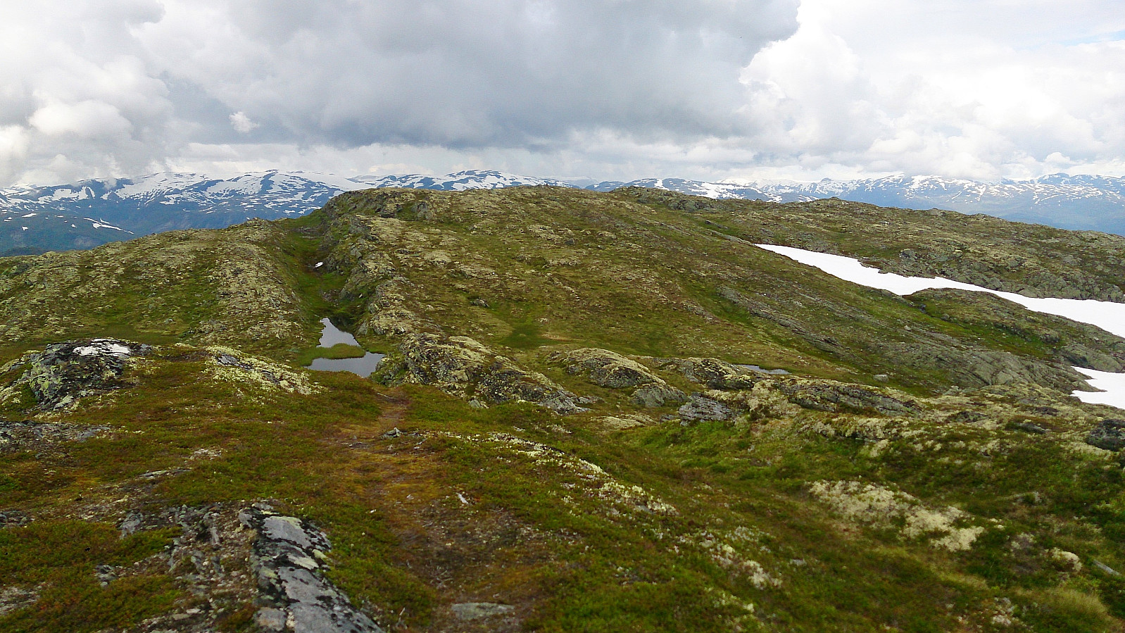
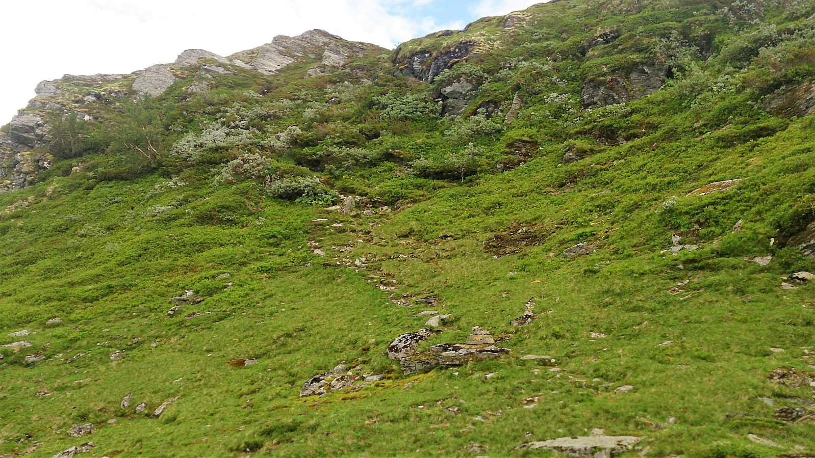
The relatively steep trail passed by several small cabins at Kinn, before winding its way up towards Skriksvatnet. The trail passed by Skriksvatnet on the eastern side, but it was clear that this part of the trail was not as heavily used as the preceding parts, and shortly the trail more or less disappeared.
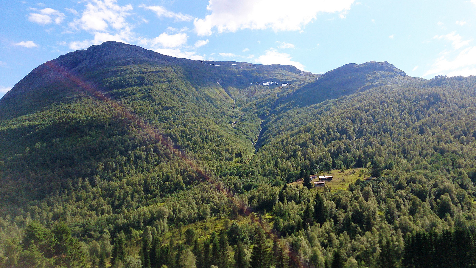
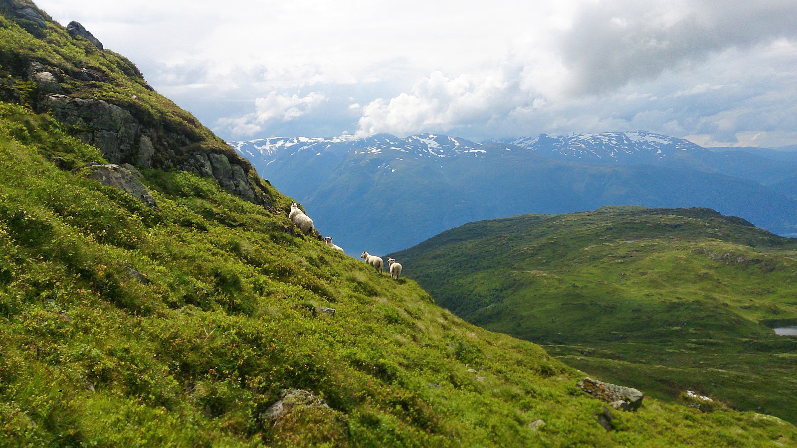
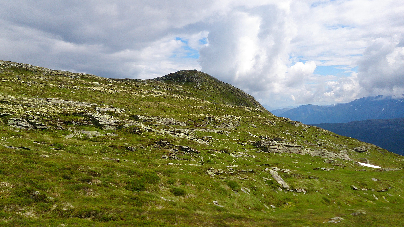
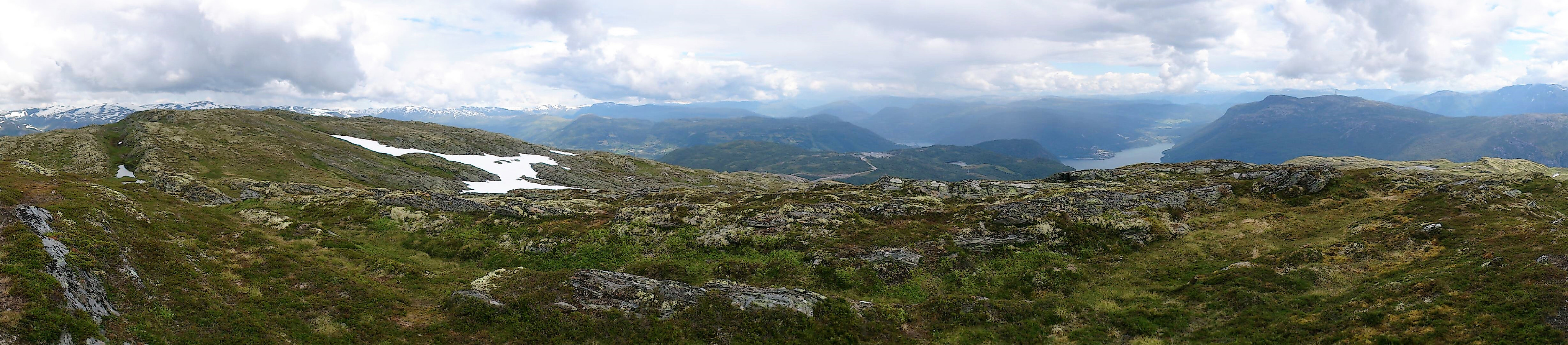
We were now directly west of Skriki and considered taking the straight route to the summit, but decided that this was too steep and instead continued south where we instead connected with the trail coming up from that direction, which we then followed all the way to the cairn at Skriki/Veten.
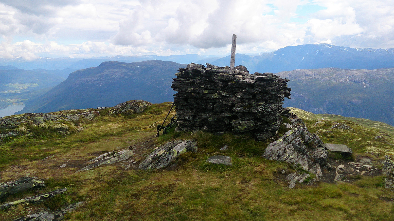
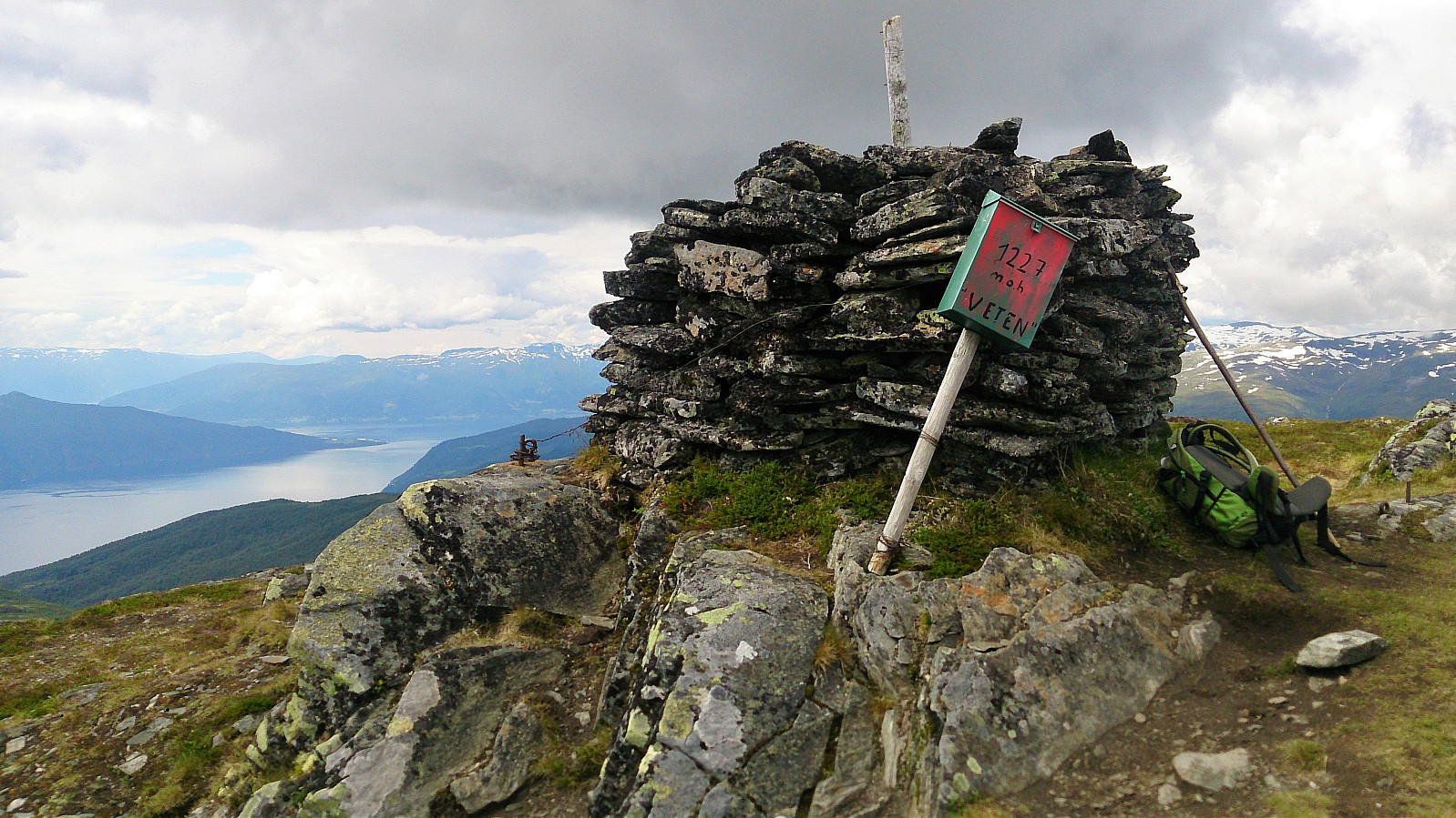
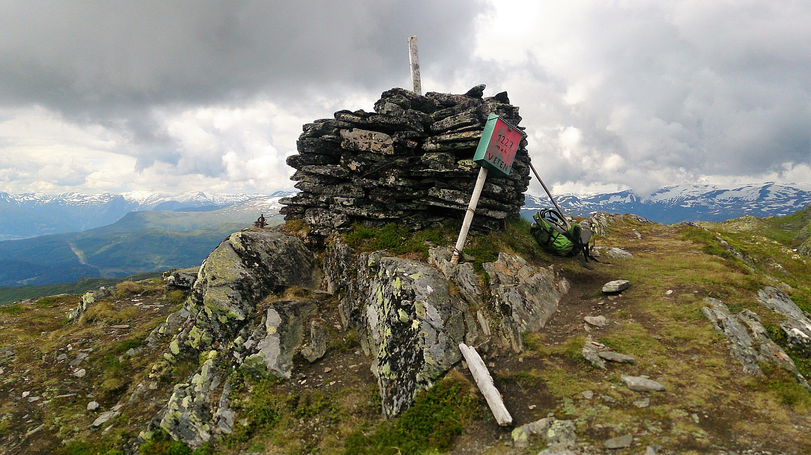
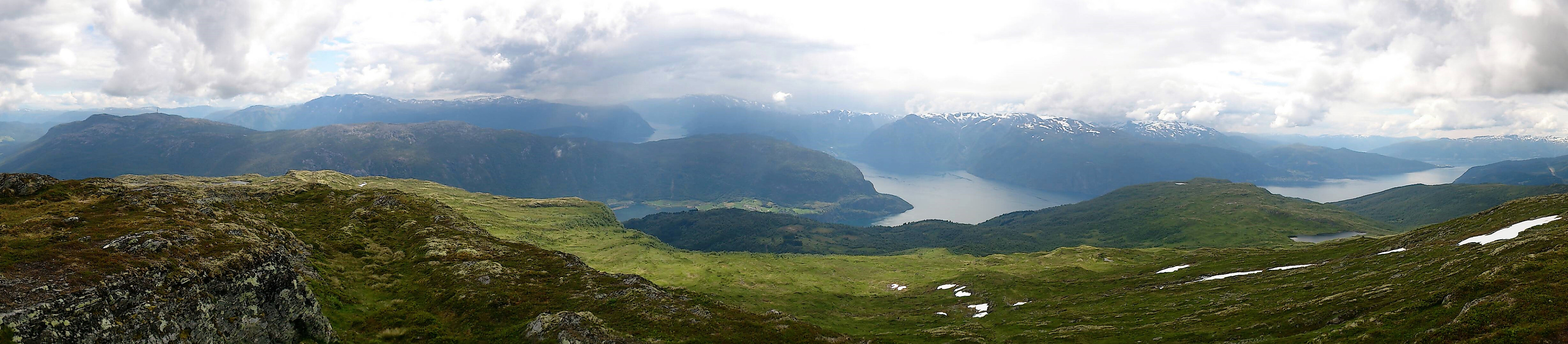
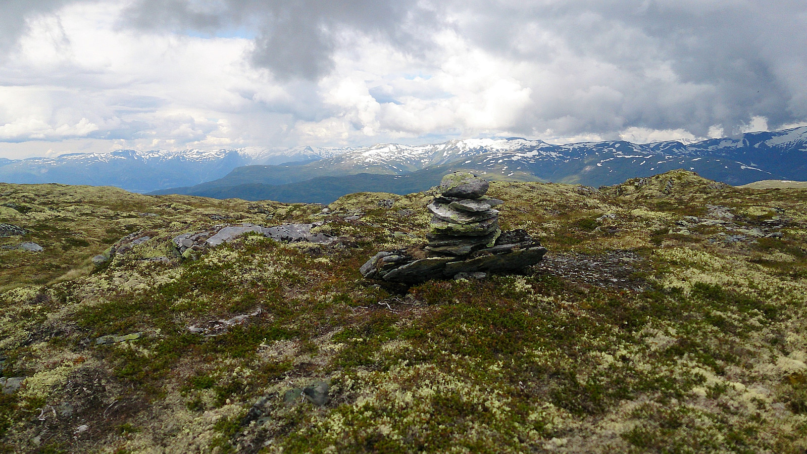
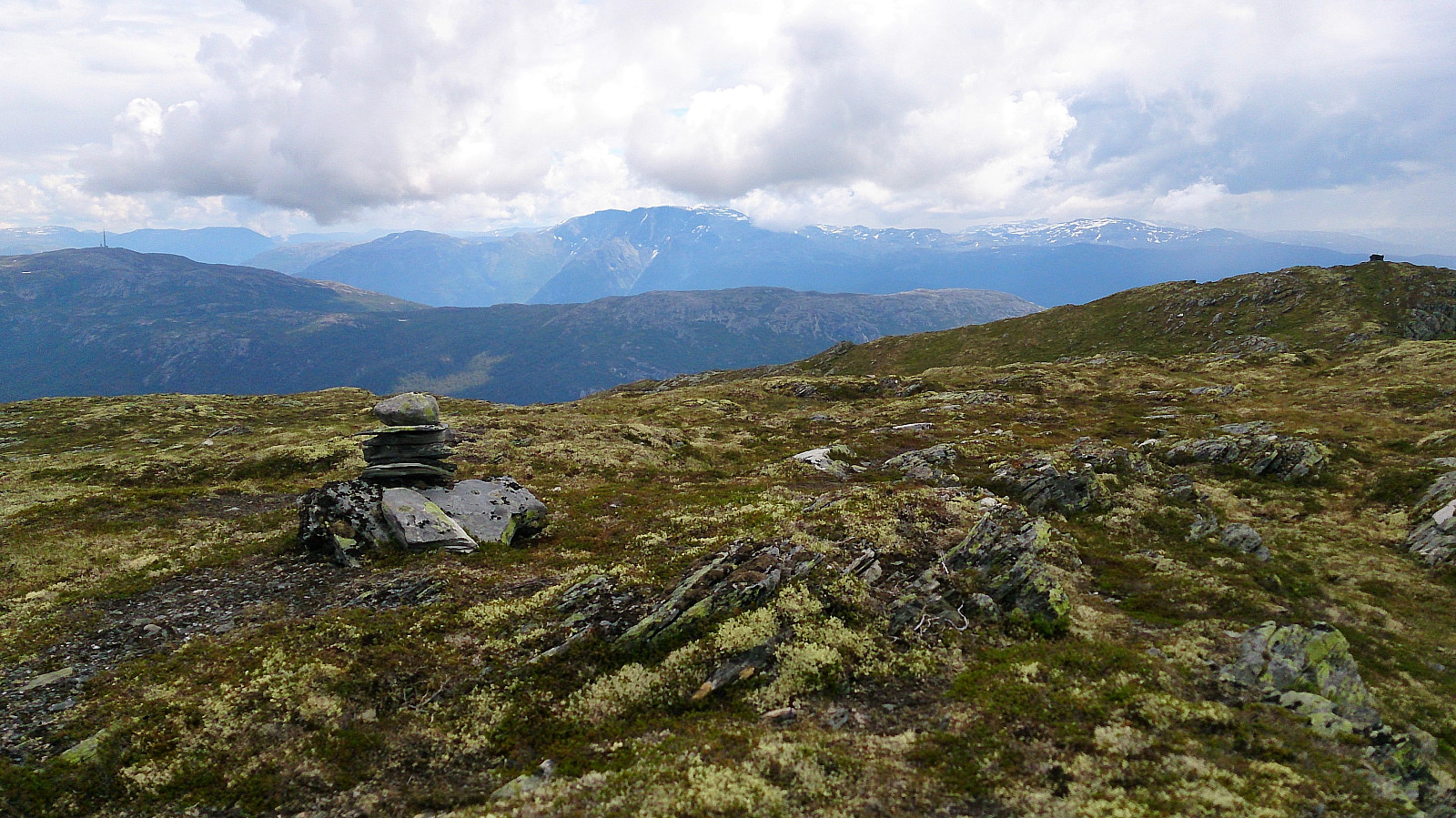
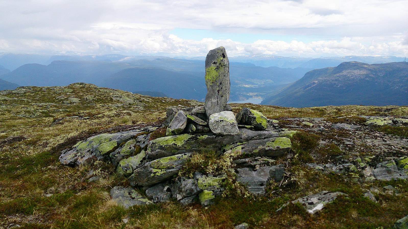
The cairn provided excellent views in all directions, even though the weather of the day limited the views somewhat. From the cairn we continued north to the highest point at Skriki, which is also indicated by a cairn, albeit a much smaller one. The views were nice here as well, but the cairn is clearly the best location in terms of views.
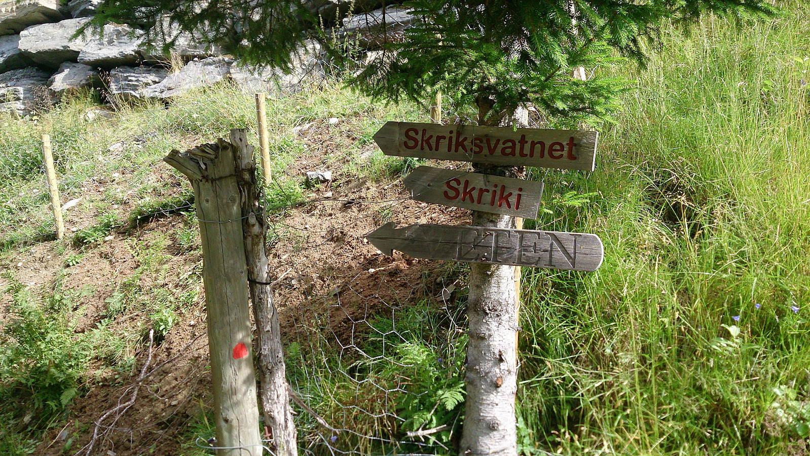
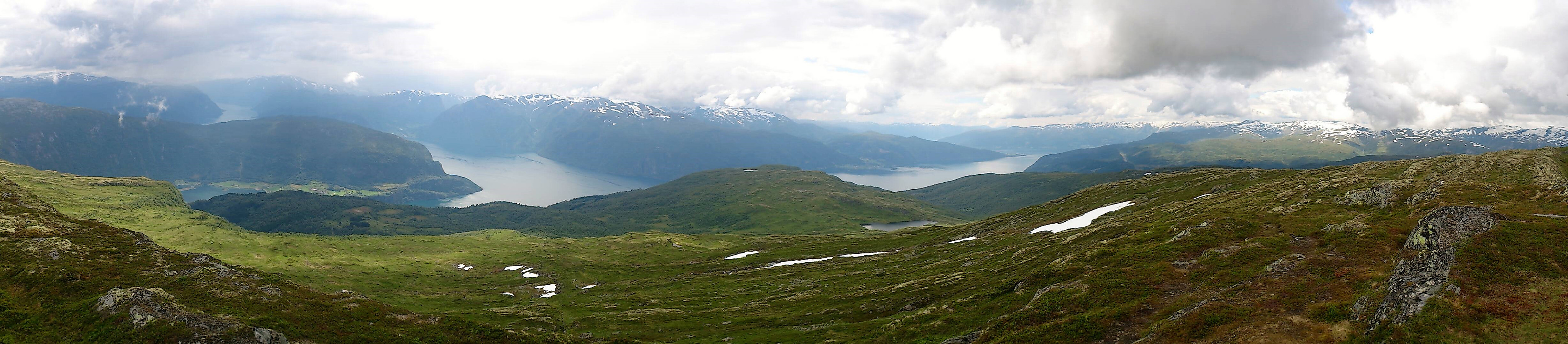
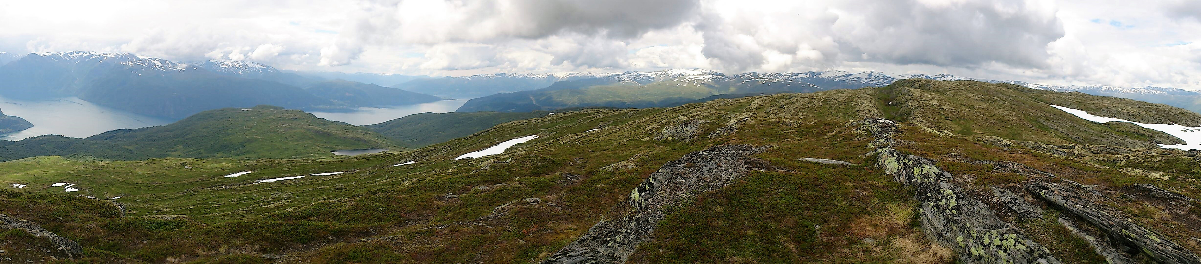
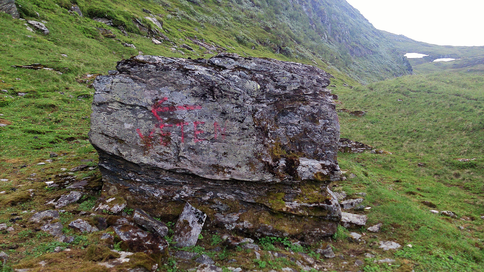
From the highest point we tried to locate the trail coming up from Skriksvatnet (as we had seen the end of this trail at the cairn). This turned out to be more difficult than expected, but in the end we happened upon the marked (but still pretty weak) trail, which we then followed down to just north of Skriksvatnet.
Here we noticed a large rock with a painted arrow and the text "Veten" that we had missed earlier (perhaps a bit of new paint would not hurt?). Note that the trail this arrow points to (see picture) is actually weaker than the trail continuing towards Skriksvatnet, so I assume we were not the first hikers to make this mistake. The hike was then concluded by following the trail back to the parking lot.
All in all, a very nice hike that can be highly recommended!
| Starttidspunkt | 25.07.2017 11:40 (UTC+01:00 ST) |
| Sluttidspunkt | 25.07.2017 16:05 (UTC+01:00 ST) |
| Totaltid | 4t 25min |
| Bevegelsestid | 3t 58min |
| Pausetid | 0t 26min |
| Snittfart totalt | 2,2km/t |
| Snittfart bevegelsestid | 2,5km/t |
| Distanse | 9,9km |
| Høydemeter | 952m |

Kommentarer