Skogsøytua (23.07.2017)

| Startsted | Herdleværsvegen (12moh) |
|---|---|
| Sluttsted | Herdleværsvegen (12moh) |
| Turtype | Fottur |
| Turlengde | 1t 11min |
| Distanse | 4,6km |
| Høydemeter | 158m |
| GPS |
|
| Bestigninger | Skogsøytua (49moh) | 23.07.2017 |
|---|
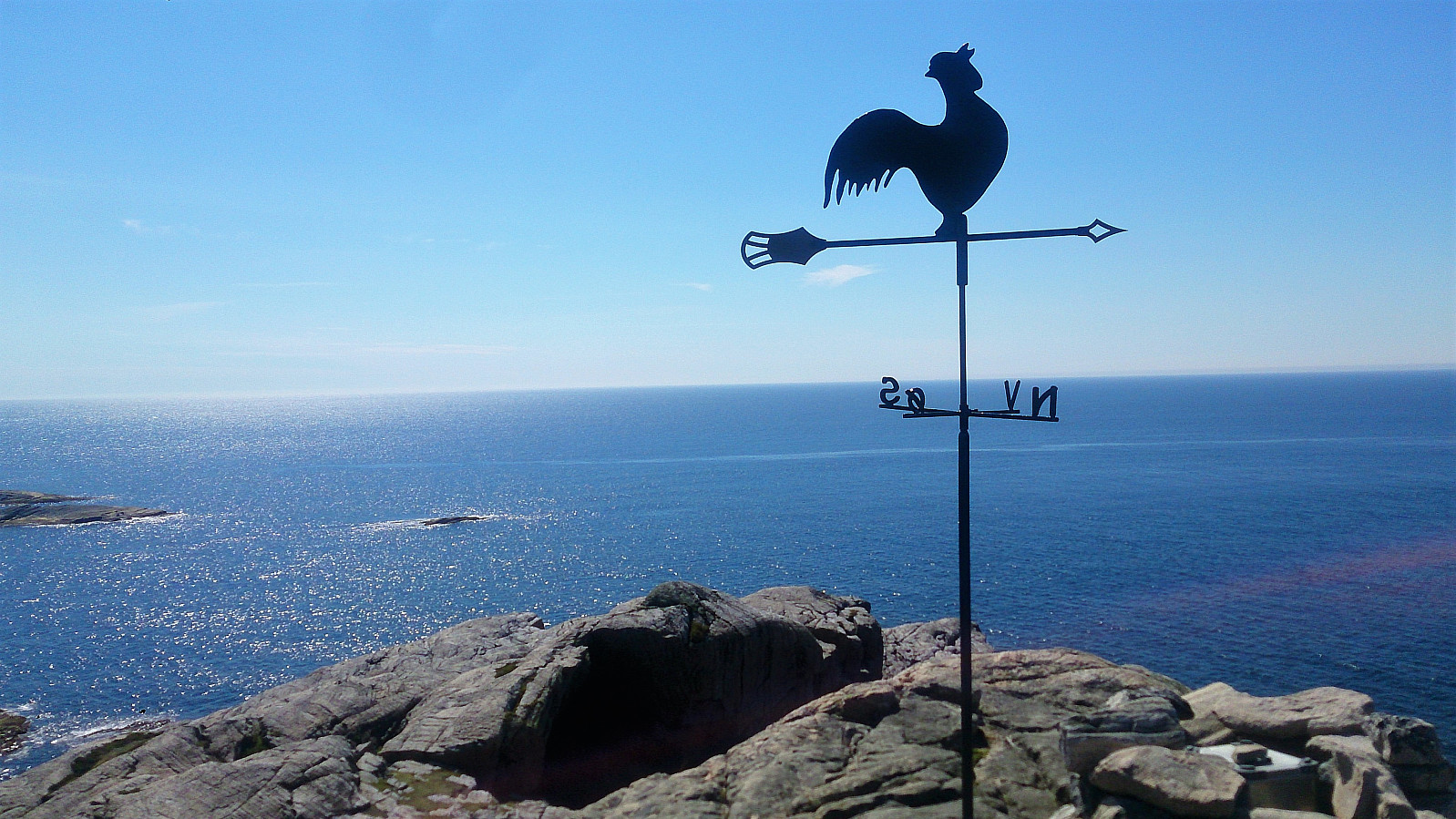
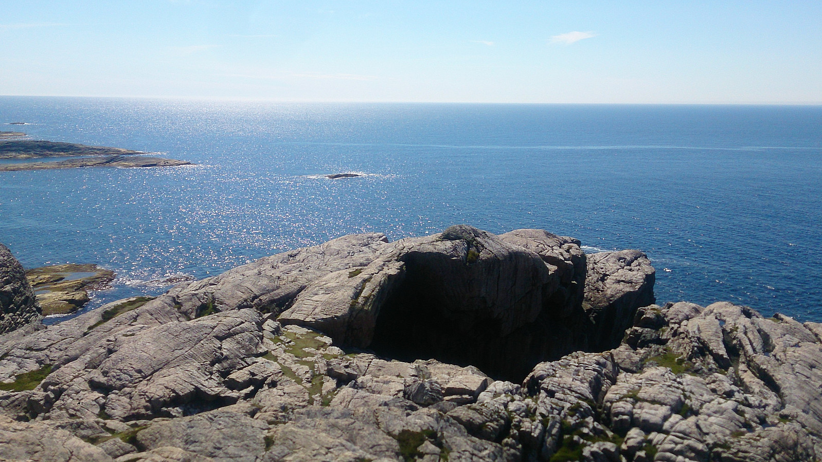
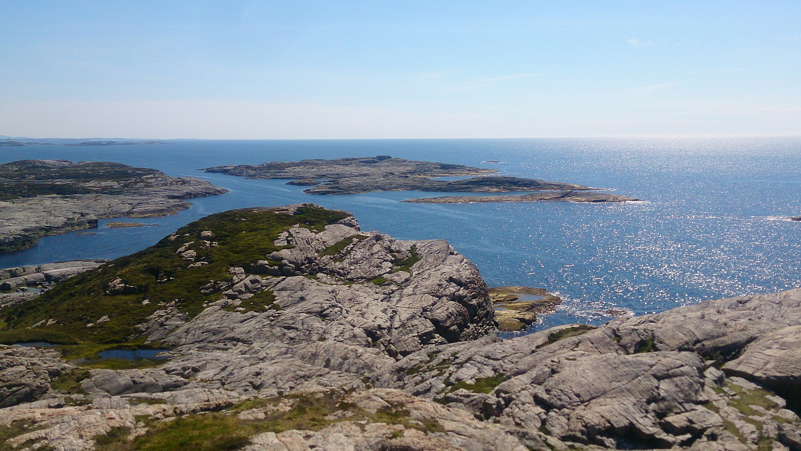
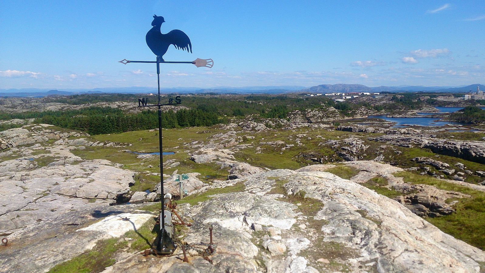
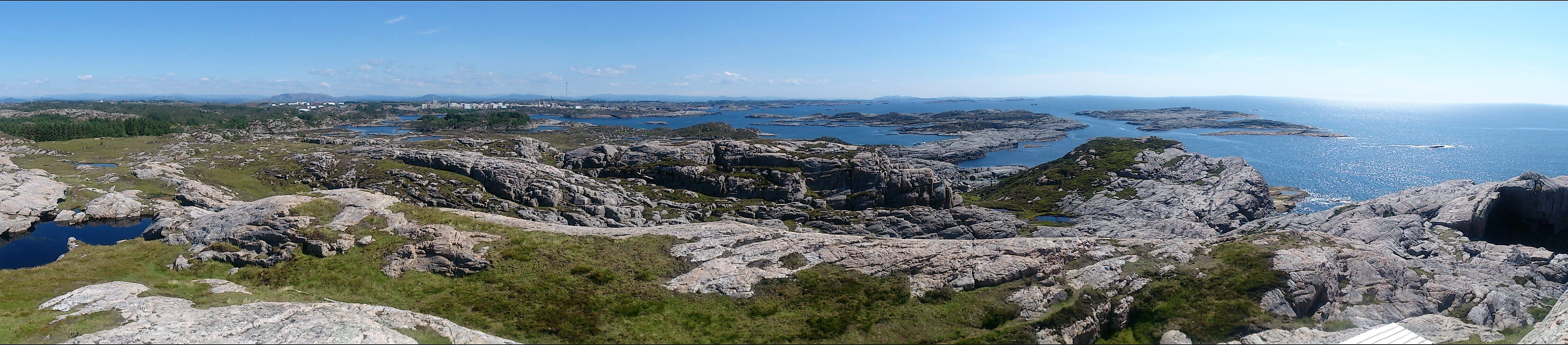
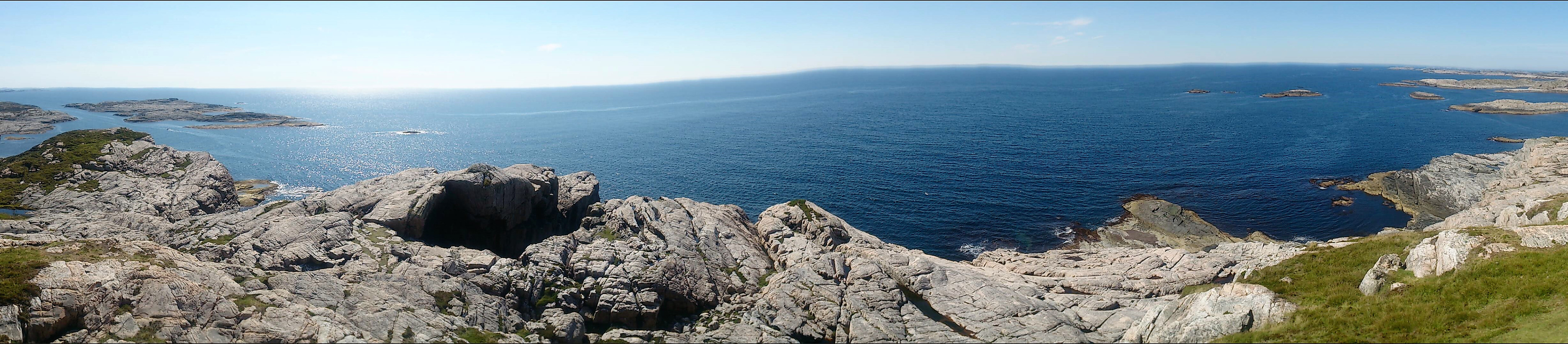
Skogsøytua
We parked by the side of the road right before the bridge crossing Langholmsundet and from there followed the northern route to Skogsøytua. After a short stop enjoying the nice views at the summit, we followed the southern route back to the car.
| Starttidspunkt | 23.07.2017 14:34 (UTC+01:00 ST) |
| Sluttidspunkt | 23.07.2017 15:45 (UTC+01:00 ST) |
| Totaltid | 1t 11min |
| Bevegelsestid | 1t 06min |
| Pausetid | 0t 4min |
| Snittfart totalt | 3,9km/t |
| Snittfart bevegelsestid | 4,1km/t |
| Distanse | 4,6km |
| Høydemeter | 158m |

Kommentarer