Tveitavarden and Indregardsfjellet (22.07.2017)

| Start point | Isdal (77m) |
|---|---|
| Endpoint | Knarvik terminal (36m) |
| Characteristic | Hillwalk |
| Duration | 2h 30min |
| Distance | 7.3km |
| Vertical meters | 344m |
| GPS |
|
| Ascents | Indregardsfjellet (248m) | 22.07.2017 |
|---|---|---|
| Tveitavarden (196m) | 22.07.2017 |
Tveitavarden and Indregardsfjellet
Tveitavarden
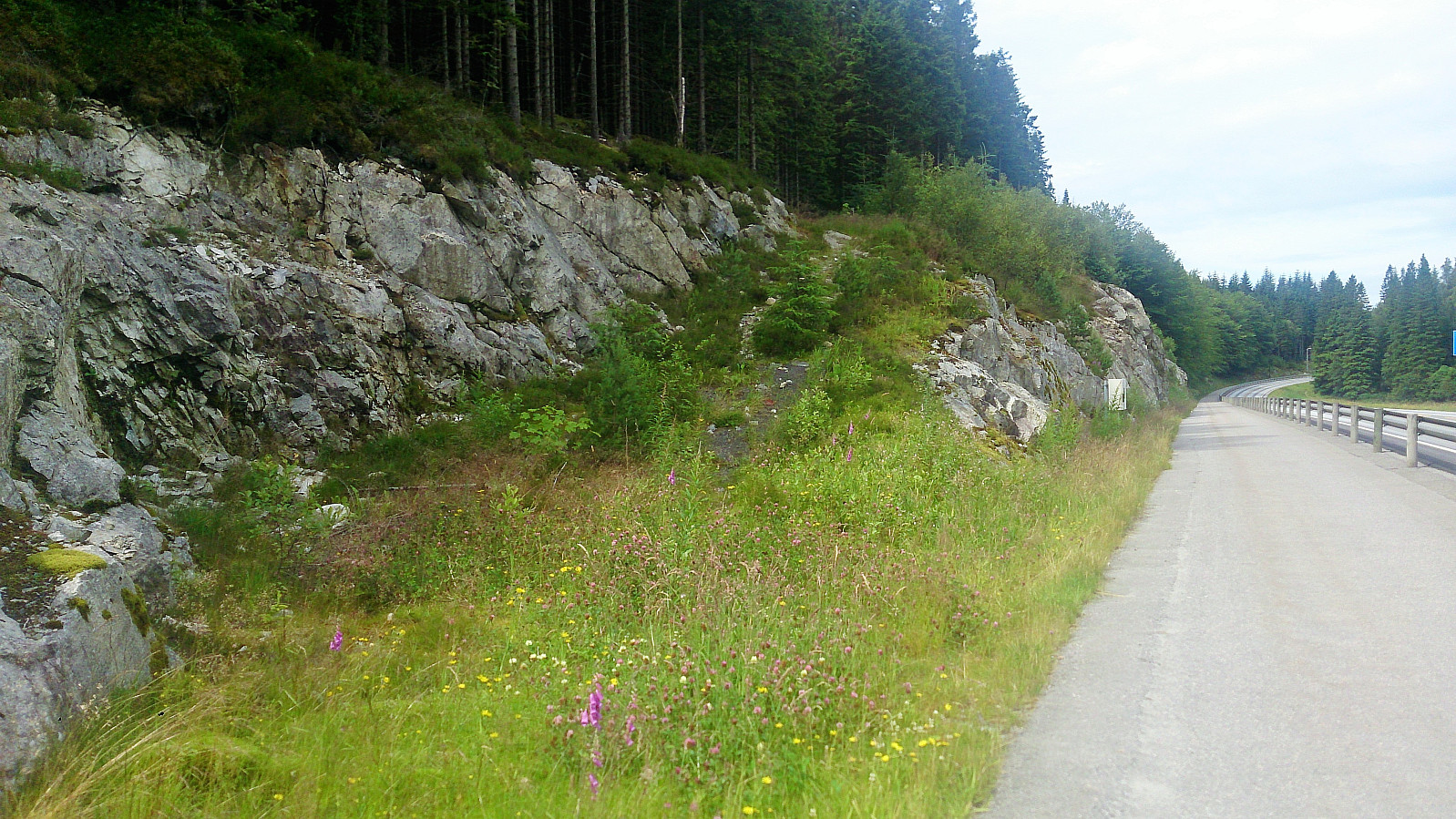
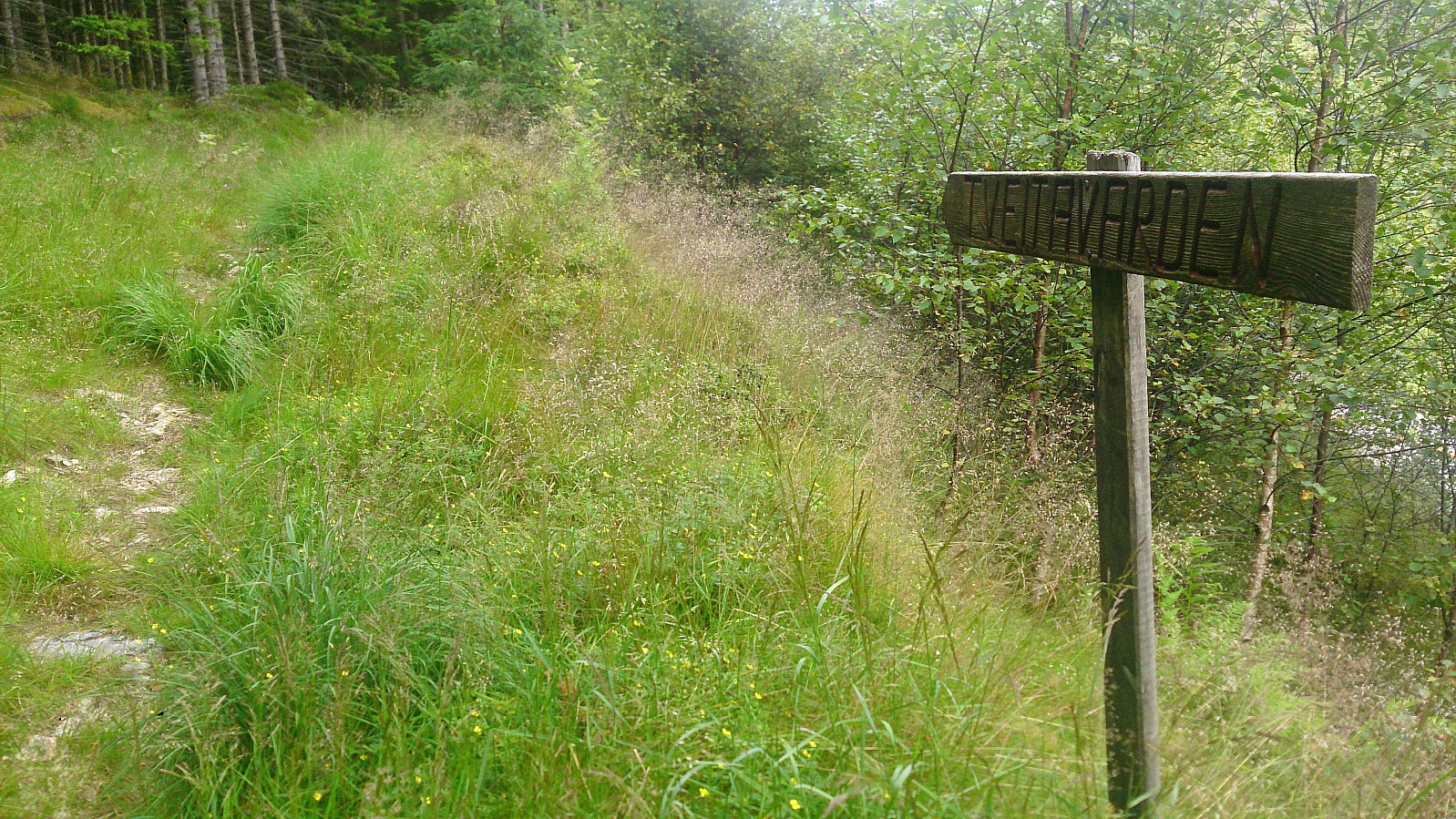
Started by taking the bus to Isdal (bus stop called "Isdal øvre") and walking north along Lindåsvegen until locating the tractor road indicating the start of the trail. The tractor road itself was not marked, but after only a couple of meters a sign with Tveitavarden showed up.
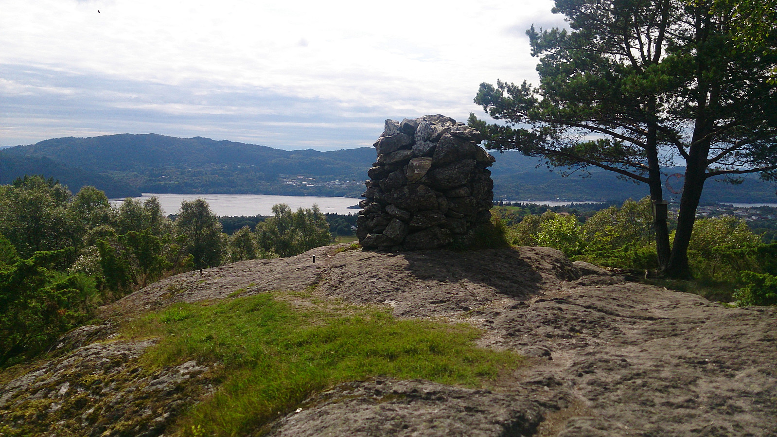
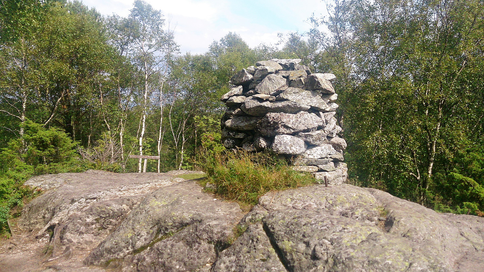
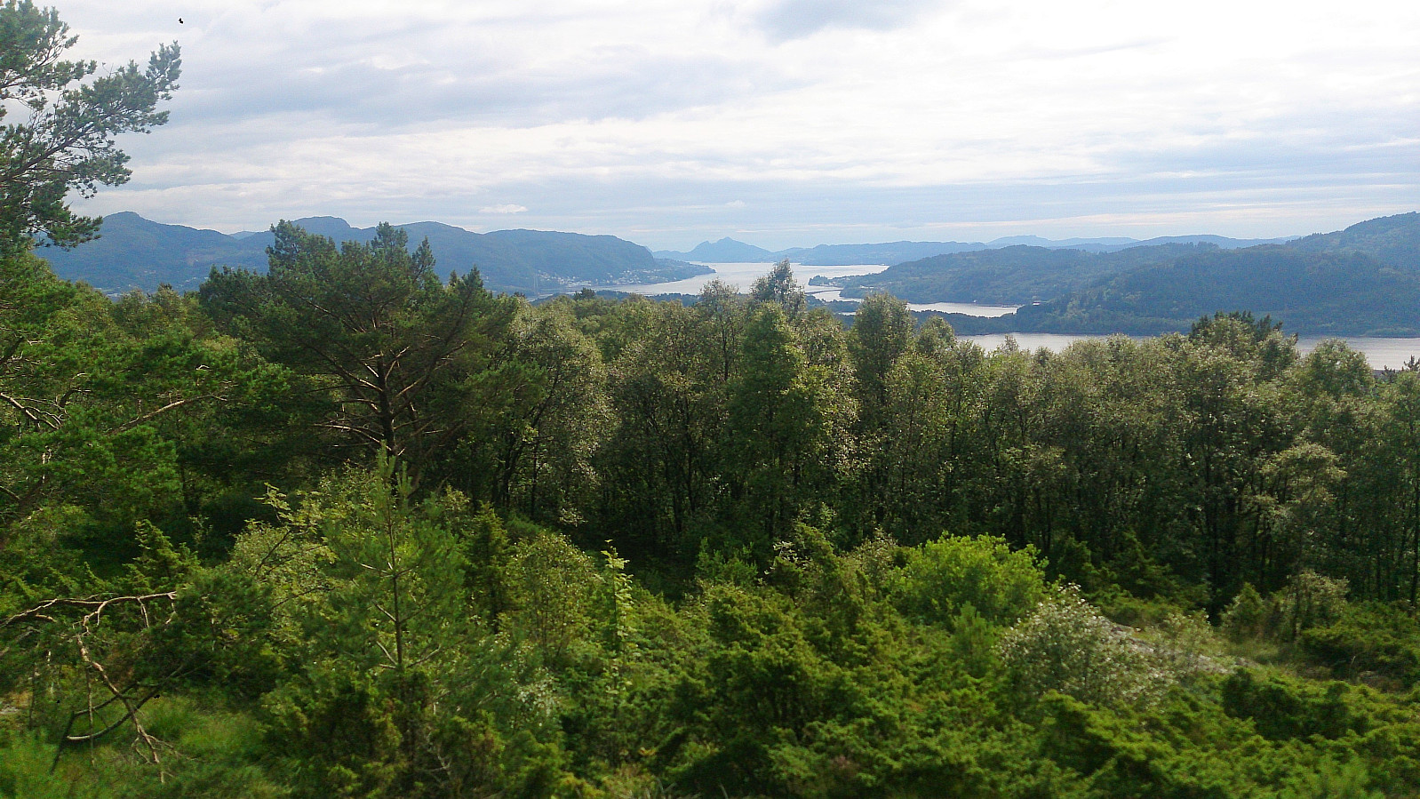
The tractor road quickly turned into a trail which could be easily followed all the way to the summit. It was however clear that the trail was not very heavily used and it did include several wet areas. From the summit there were good views towards the west, although an even better view could have been obtained if it was not for all the trees.
Indregardsfjellet
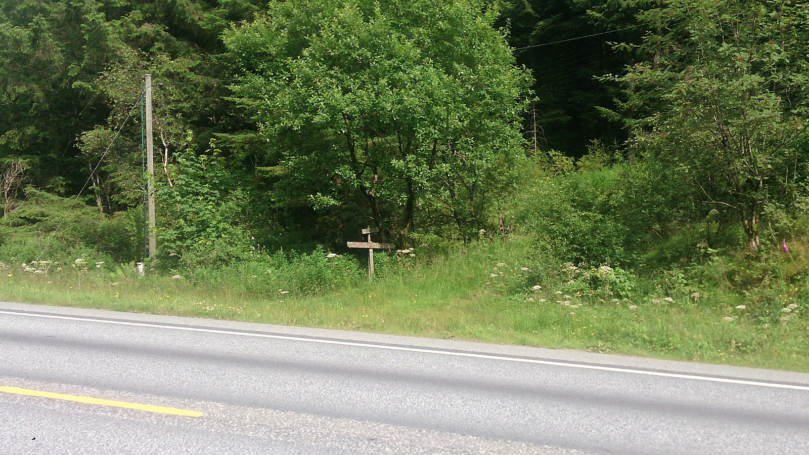
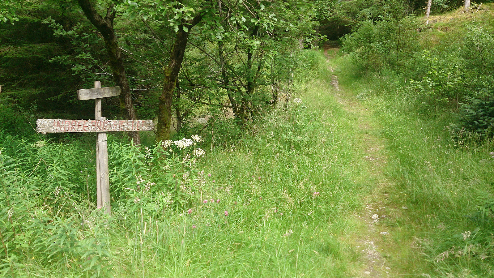
From Tveitavarden, I followed the same trail back to Lindåsvegen, which I then crossed and immediately arrived at start of the trail to Indregardsfjellet. Despite the weathered sign, the trail turned out to be very nice, especially as soon as I made it up to the ridge just after crossing under the power lines. (Note that before reaching the power lines the trail divided twice. At both options I chose the left one: first across a small bridge and then after a short steep incline.)
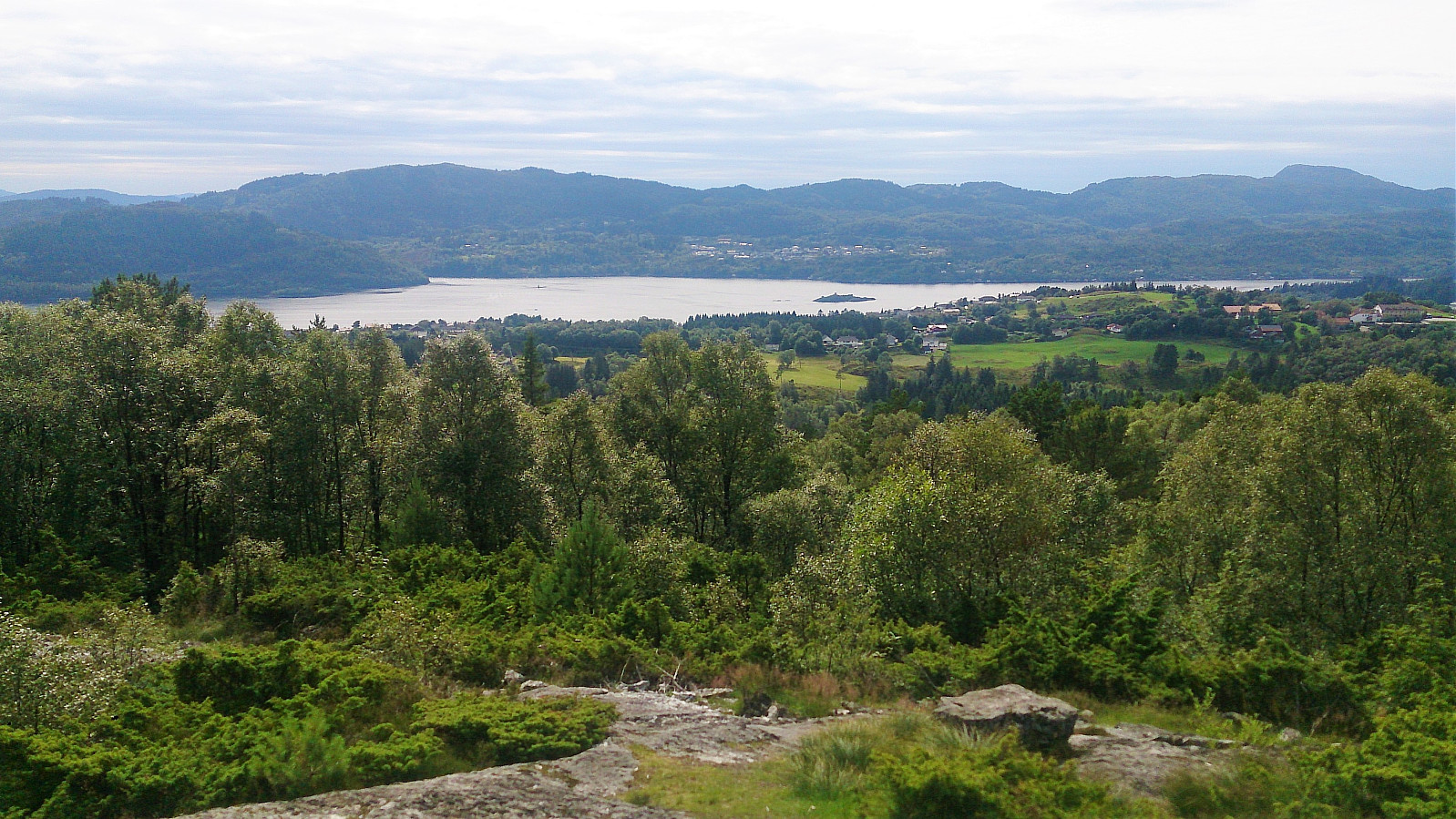
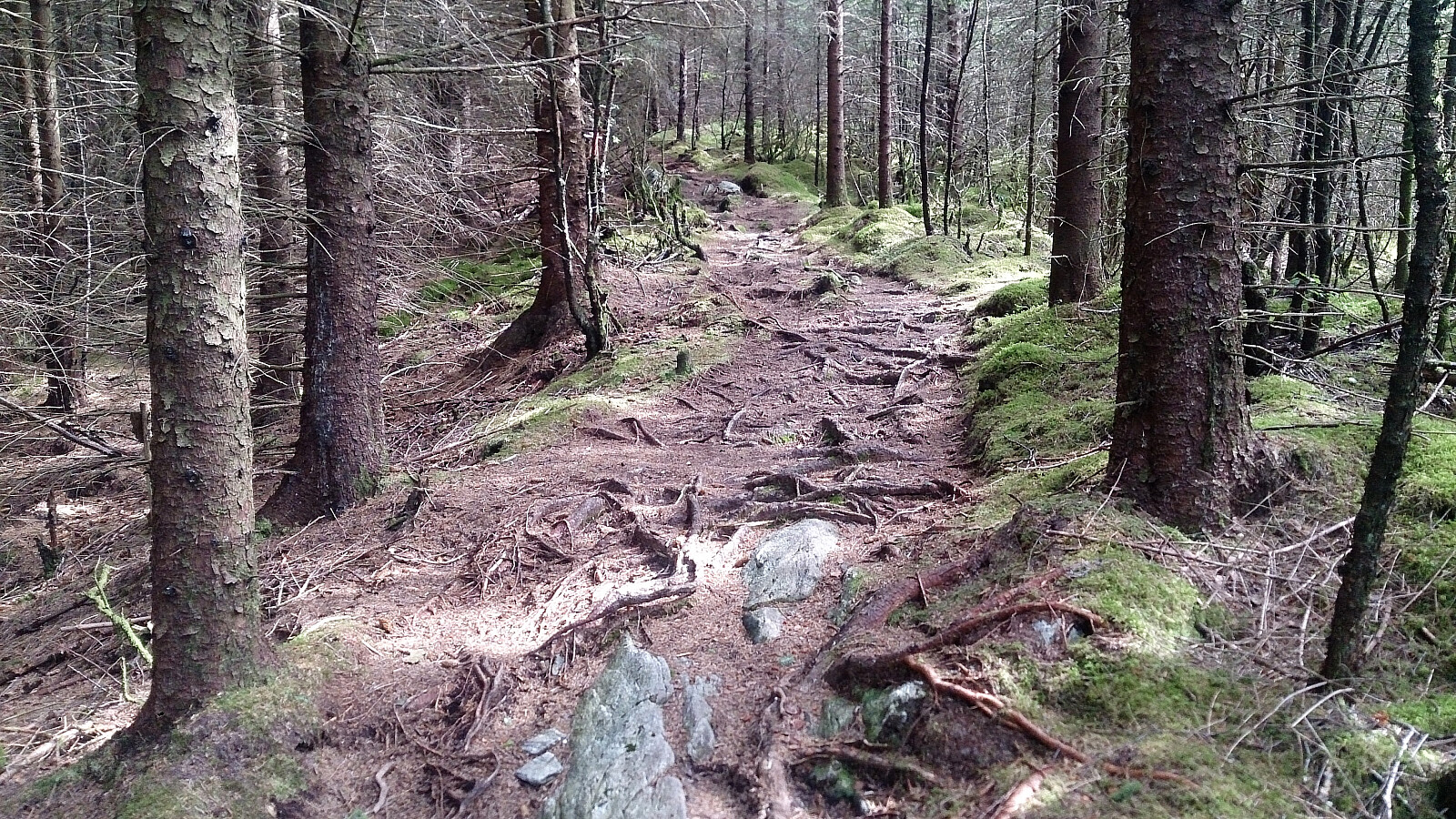
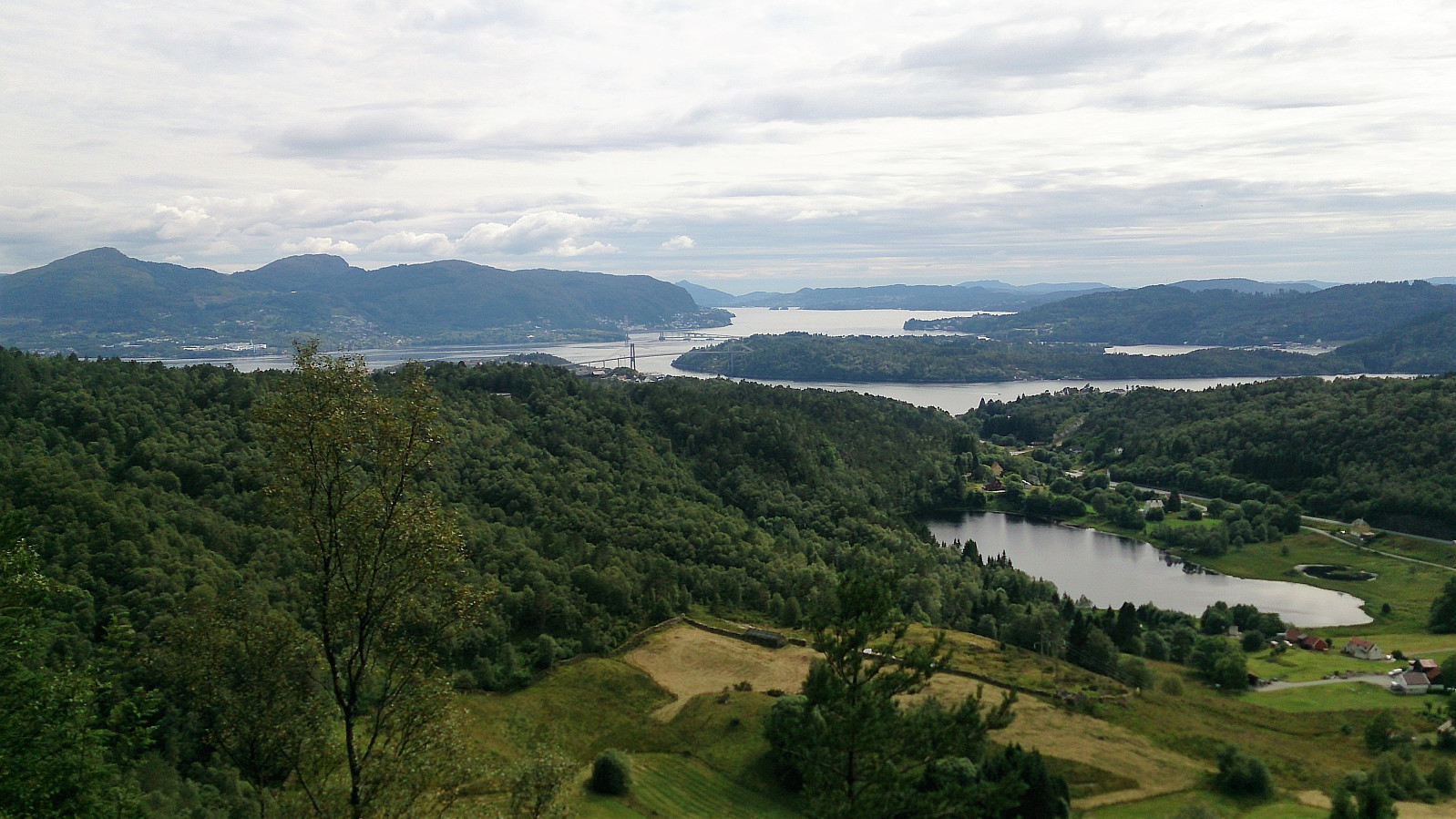
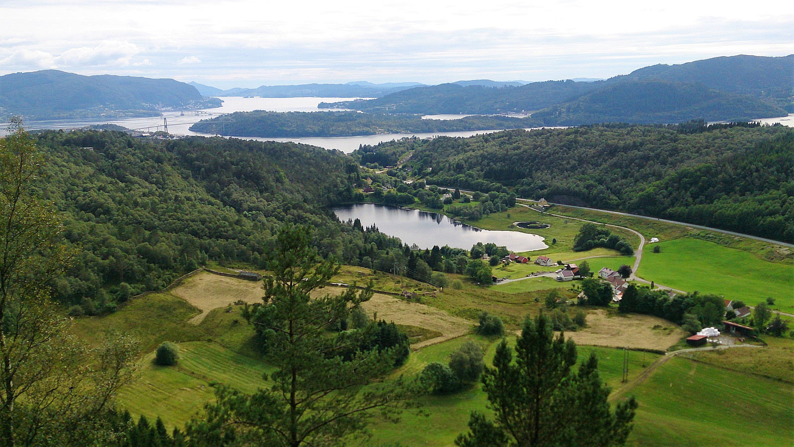
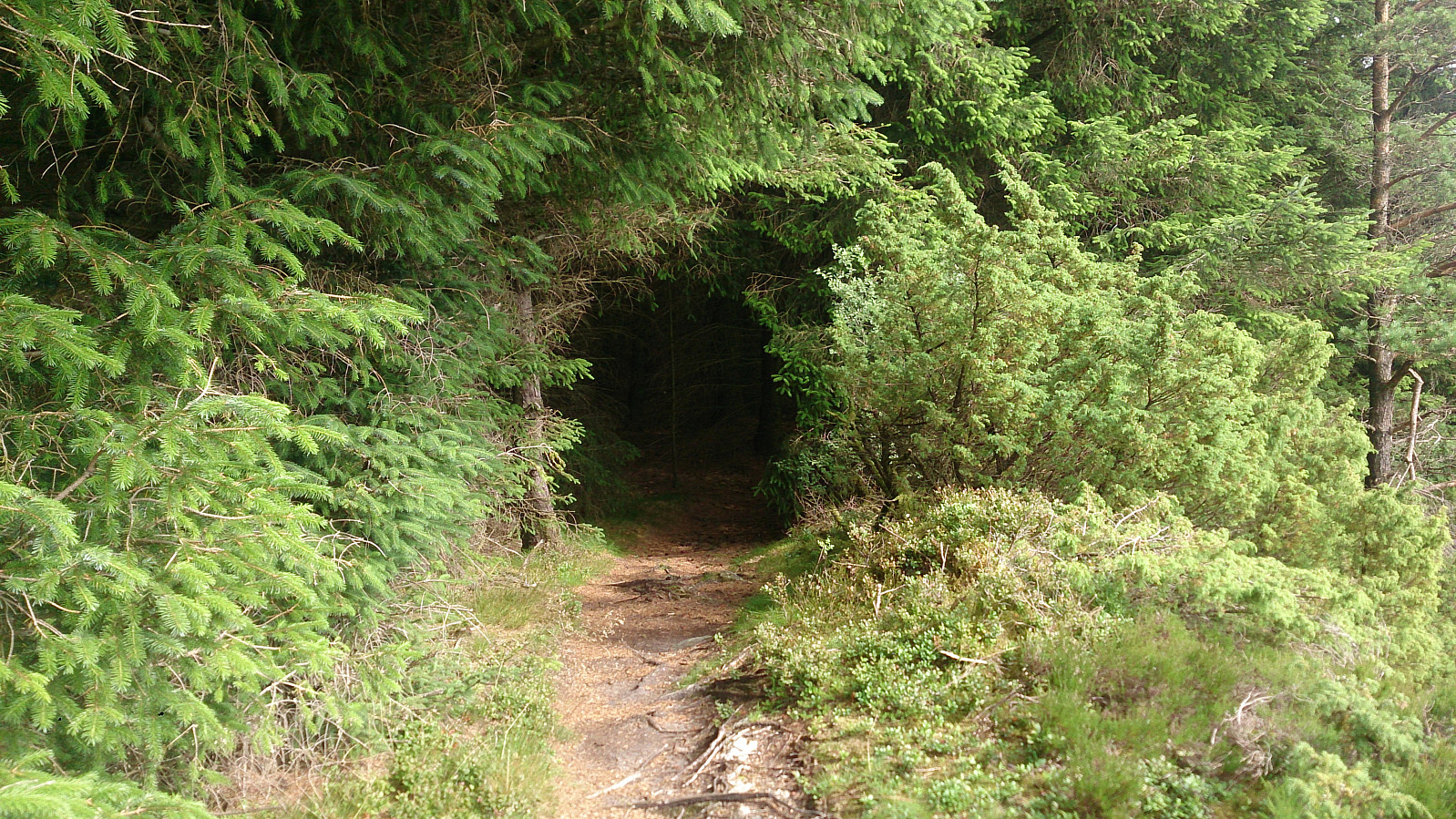
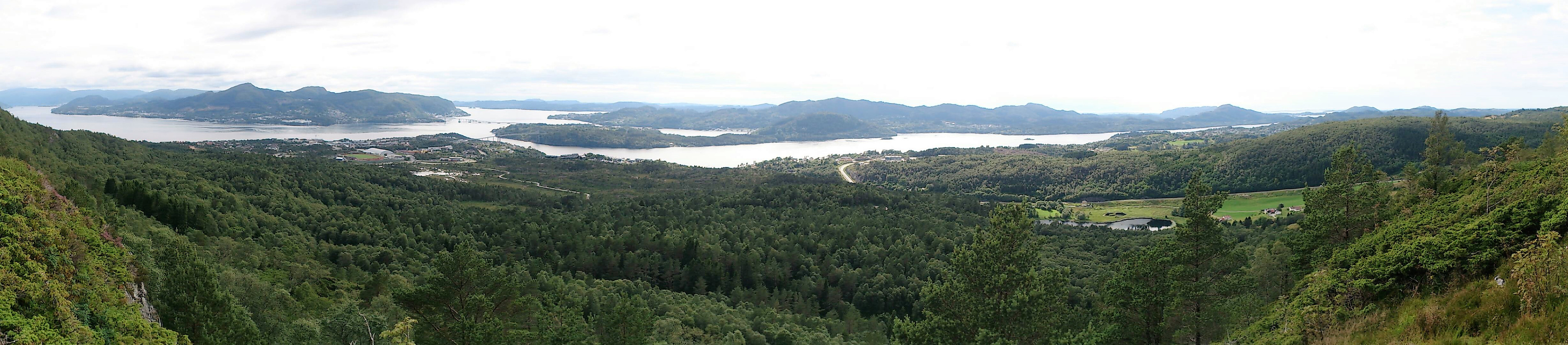
The trail now weaved in and out of a quite dense spruce forest (though the trail was wide and easy to follow), making a perfect contrast between the dark brown of the interior and the green sparks of light whenever the trail made its way to the outside of the forest to provide increasingly better views to the northwest. This resulted in a varied and highly enjoyable hike.
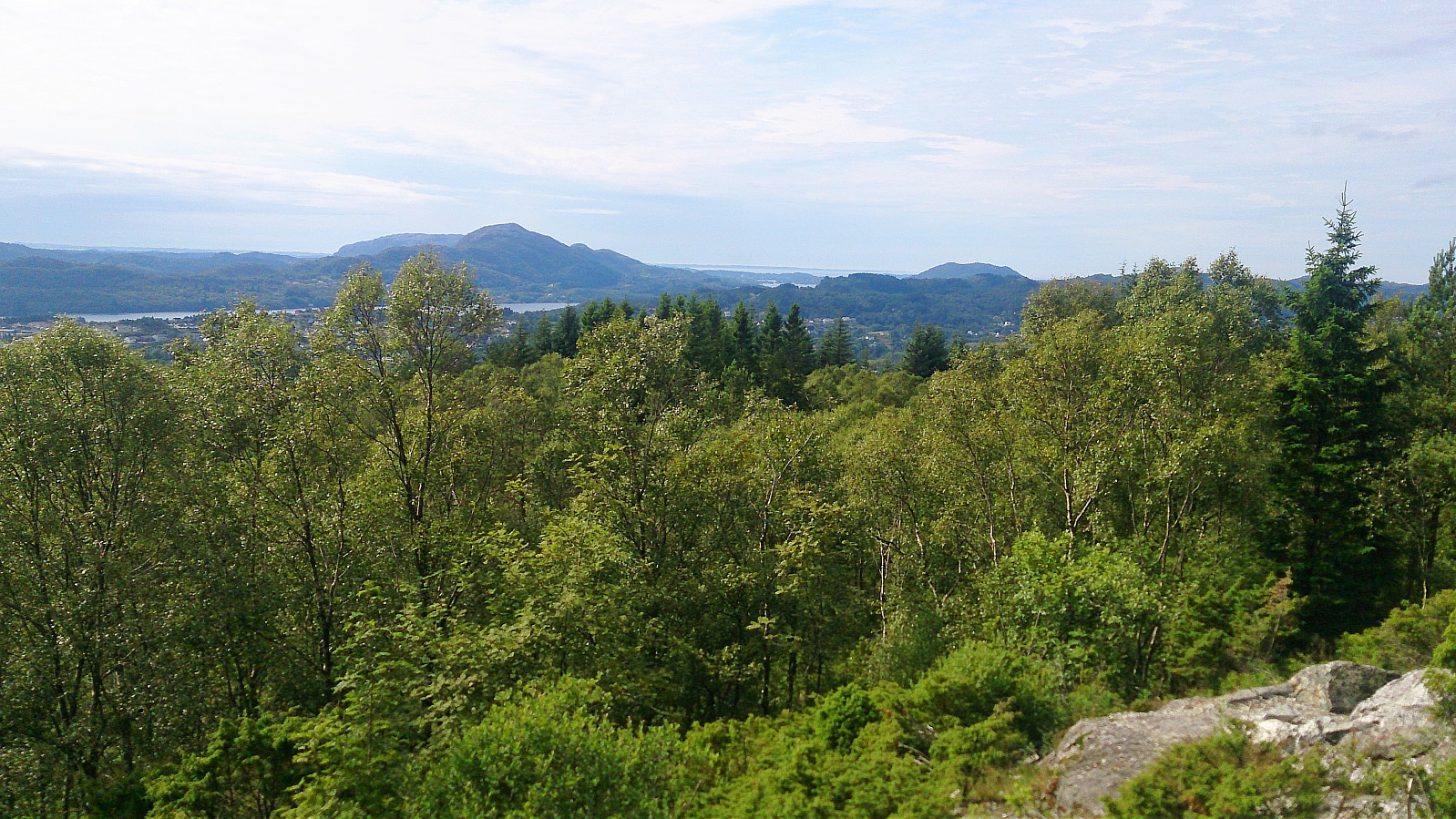
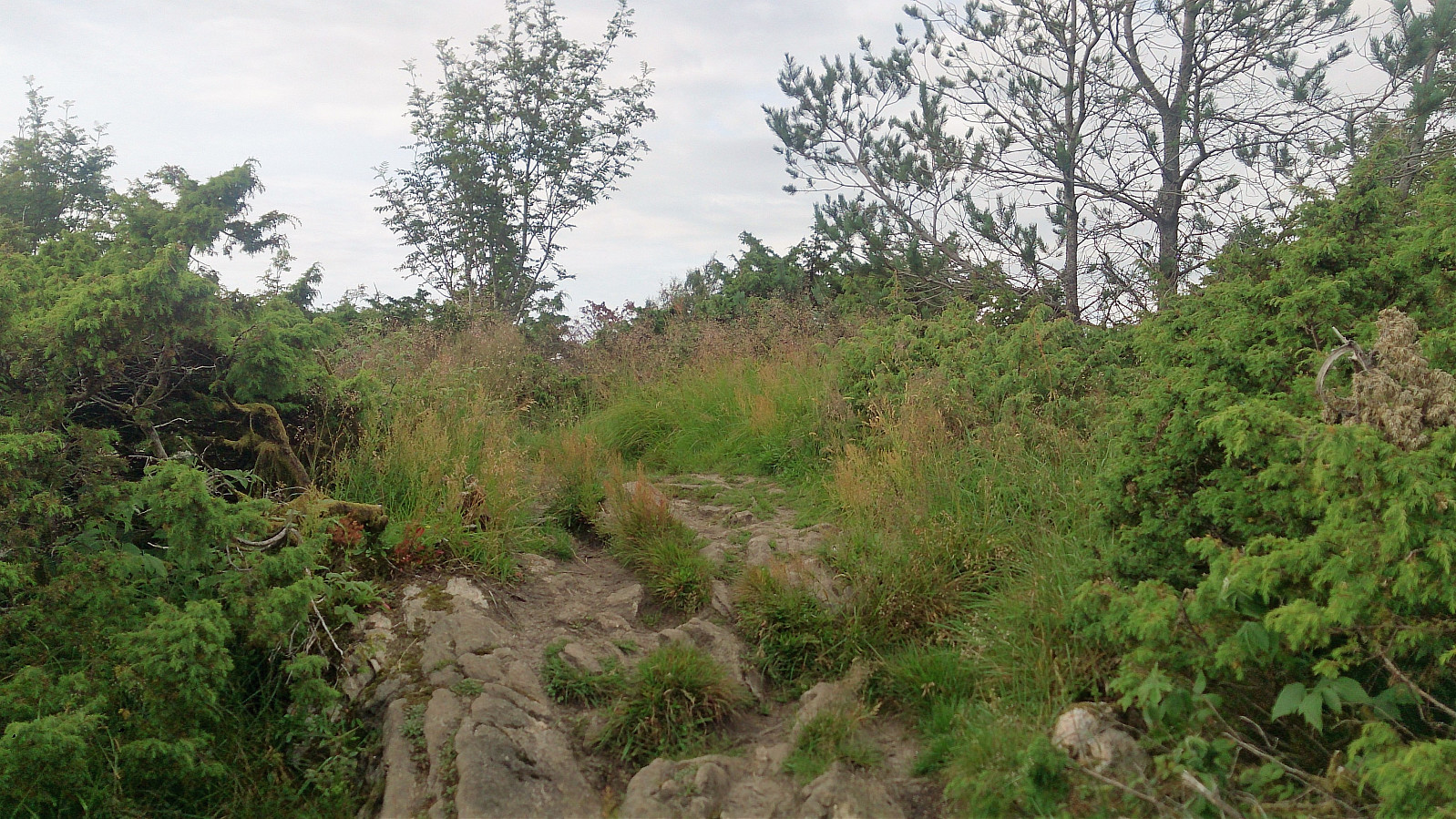
When the trail finally left the forest behind, the views opened up and I quickly made it to the highest point at Indregardsfjellet. In fact, I almost missed that I had been at the summit, as there was no indicator or cairn. The view from the summit itself was however limited compared to the viewpoints found before and after.
Down to Knarvik
From the highest point at Indregardsfjellet, I continued southeast along the trail (or should I say trails, as there were several parallel trails to choose from, of which I chose the far left (east)), finally arriving at Stølen and later Sjosidevegen, before turning west towards Knarvik terminal for the bus back to Bergen.
Conclusion
All in all, a nice hike that can be recommended. The second part was significantly better than the first one though, with the trail up to Indregardsfjellet a highlight that should not be missed!
| Start date | 22.07.2017 14:58 (UTC+01:00 DST) |
| End date | 22.07.2017 17:29 (UTC+01:00 DST) |
| Total Time | 2h 30min |
| Moving Time | 2h 12min |
| Stopped Time | 0h 18min |
| Overall Average | 2.9km/h |
| Moving Average | 3.3km/h |
| Distance | 7.3km |
| Vertical meters | 344m |

User comments