Setliåsen from Søre Skulstad (24.06.2017)

| Start point | Søre Skulstad (274m) |
|---|---|
| Endpoint | Søre Skulstad (274m) |
| Characteristic | Hillwalk |
| Duration | 0h 33min |
| Distance | 1.2km |
| Vertical meters | 80m |
| GPS |
|
| Ascents | Setliåsen (335m) | 24.06.2017 16:55 |
|---|
Setliåsen from Søre Skulstad
On the way back from our hike to Trengereidhotten we decided to take a quick detour to Setliåsen. From Trengereid we drove up to Søre Skulstad and parked at the final bend in the road before reaching Kråni.
(Note that there is really only room for one car here. An alternative parking location could perhaps be next to the small football field one passes around 800 meters earlier.)
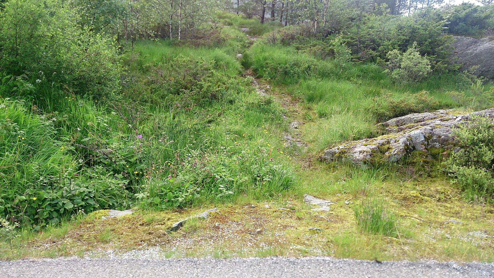
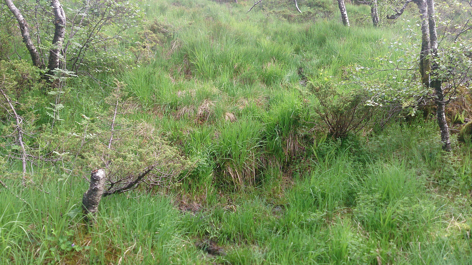
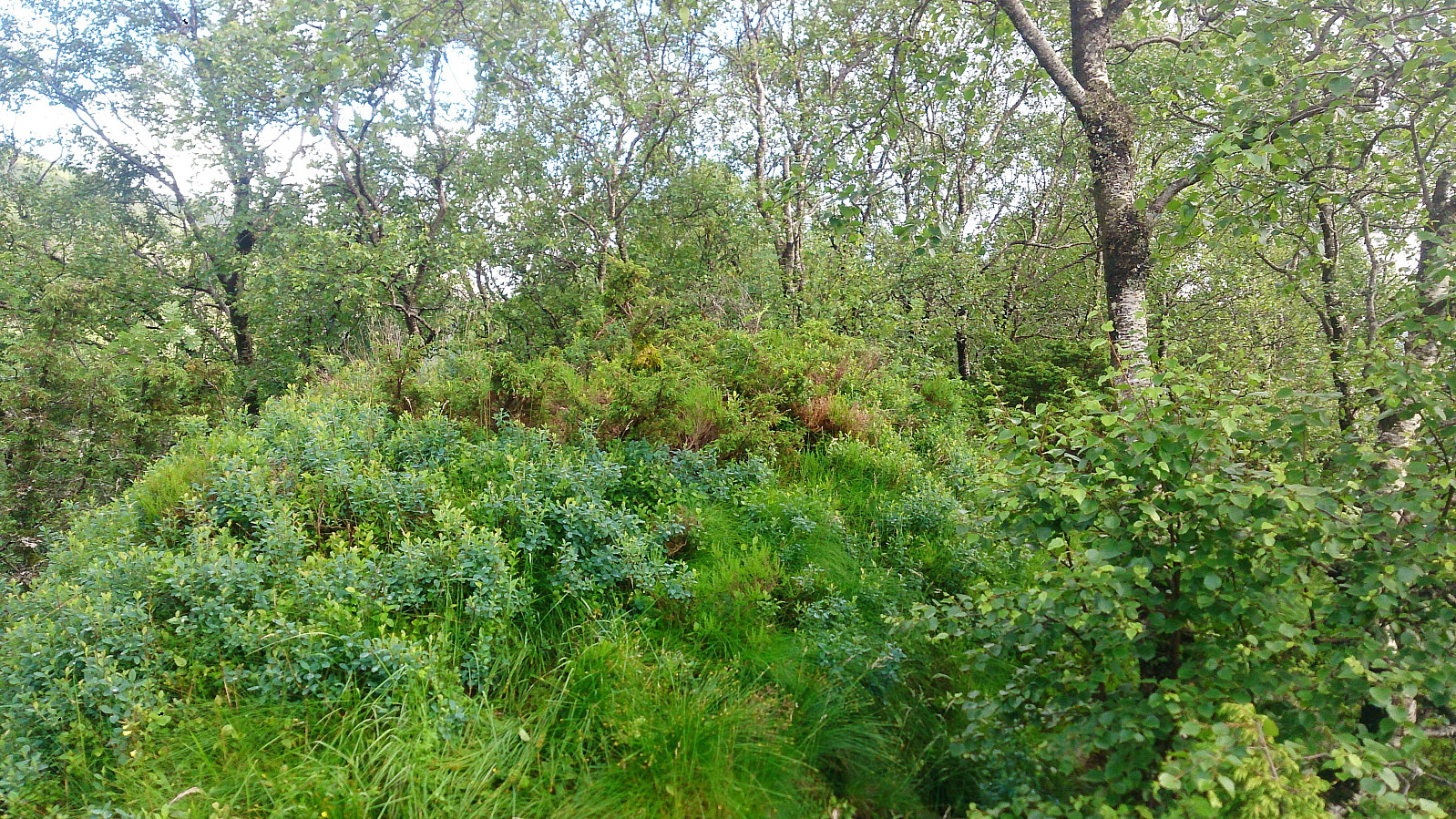
The trailhead was very easy to locate and started directly from the road, and the quality was quite ok until reaching the cabin indicated on the map. Here the trail more or less disappeared, but we relocated it at just north of the ridge heading towards the summit. From there the trail was easy to follow, but very wet and muddy.
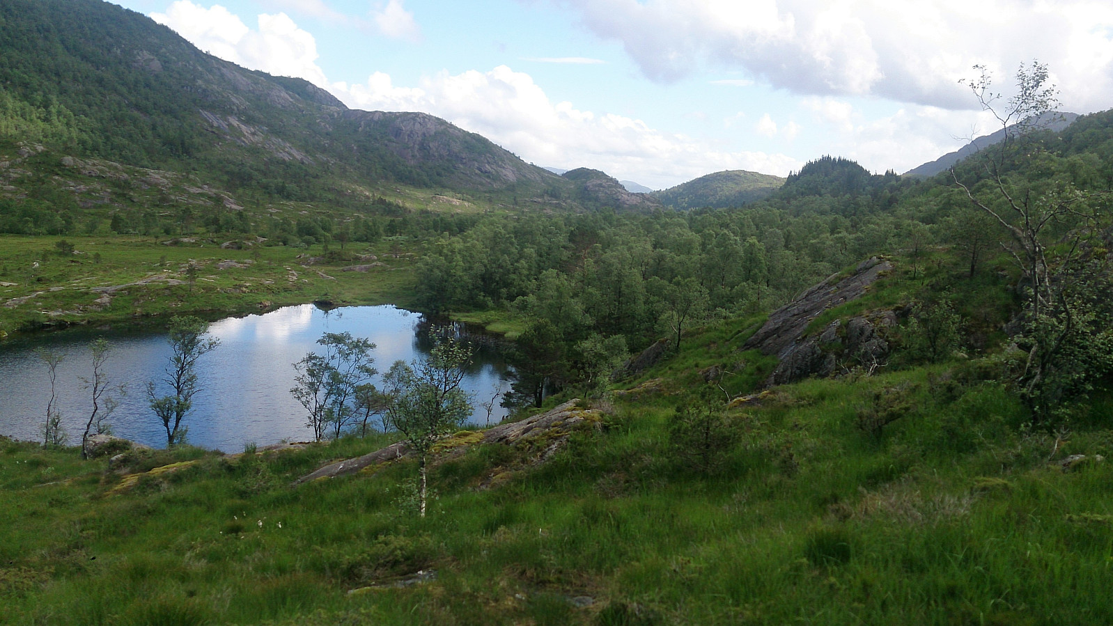
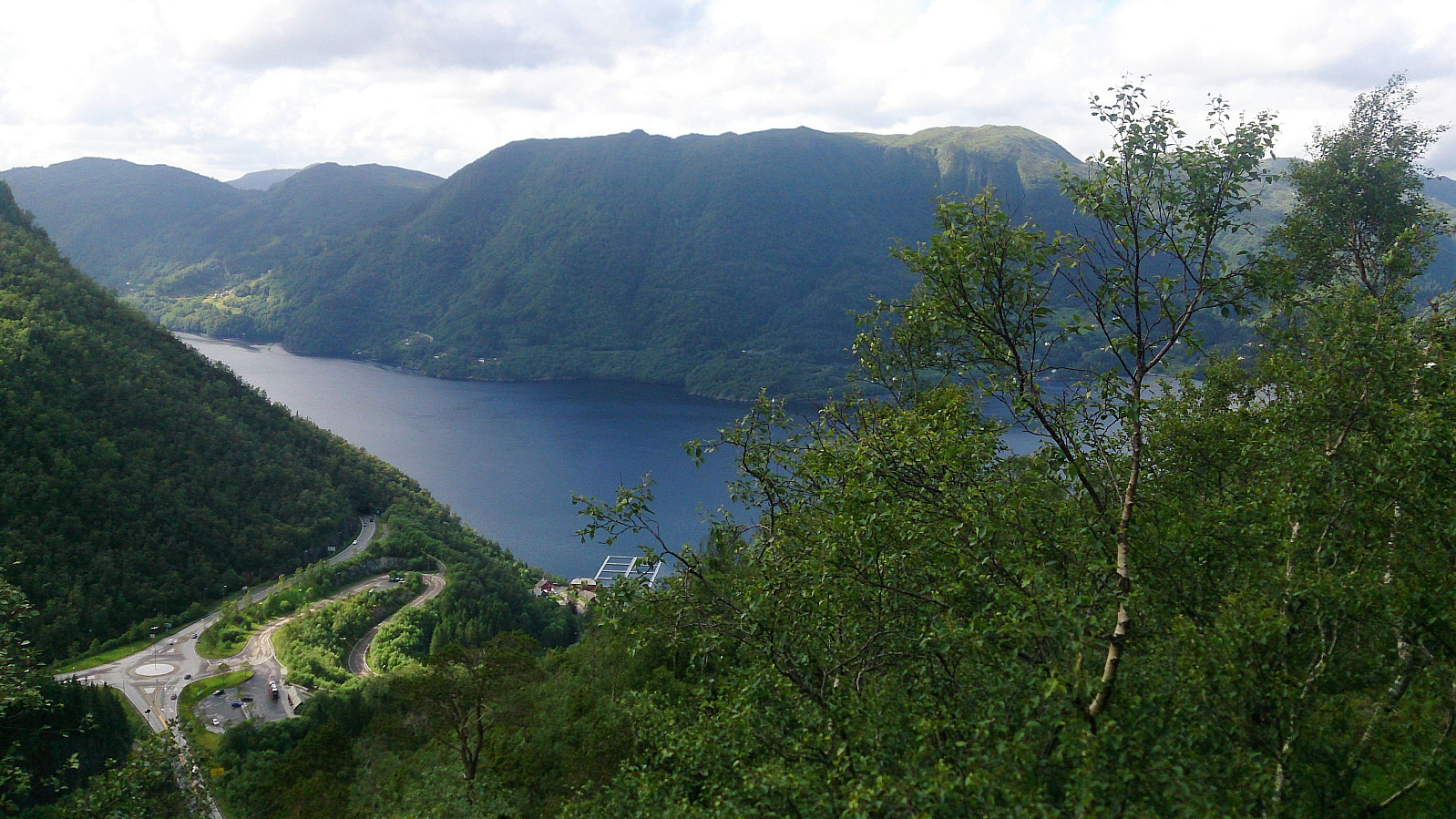
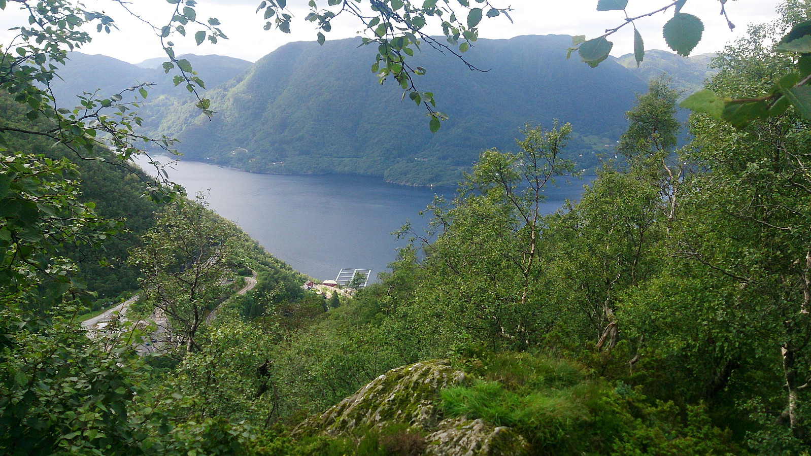
The summit provided limited views, mainly towards the roundabout at Trengereid. In summary, a very short hike to a summit that most people will probably not feel the desire to visit.
| Start date | 24.06.2017 16:56 (UTC+01:00 DST) |
| End date | 24.06.2017 17:29 (UTC+01:00 DST) |
| Total Time | 0h 33min |
| Moving Time | 0h 30min |
| Stopped Time | 0h 3min |
| Overall Average | 2.2km/h |
| Moving Average | 2.4km/h |
| Distance | 1.2km |
| Vertical meters | 80m |

User comments