Lundåsane - from Frotveit to Totland (21.06.2017)

| Startsted | Frotveit snuplass (290moh) |
|---|---|
| Sluttsted | Totland (252moh) |
| Turtype | Fjelltur |
| Turlengde | 1t 50min |
| Distanse | 5,9km |
| Høydemeter | 311m |
| GPS |
|
| Bestigninger | Lundåsane (361moh) | 21.06.2017 |
|---|
Lundåsane - from Frotveit to Totland
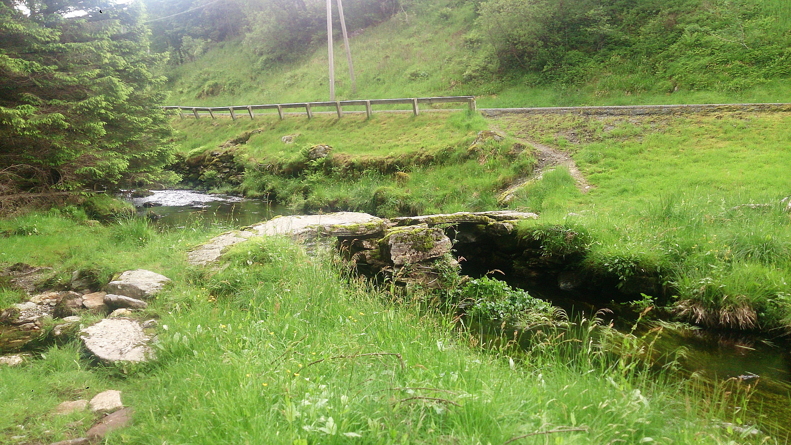
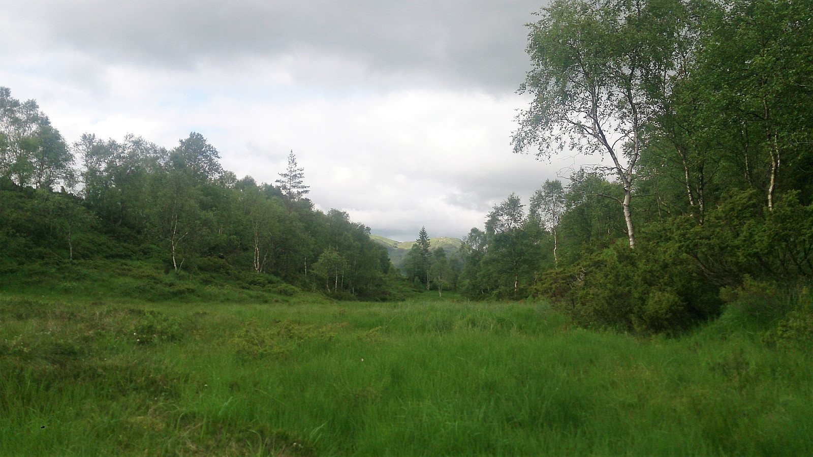

Started by taking the bus to "Frotveit snuplass" and continuing north along Bontveitvegen to locate the old stone bridge required to cross the small river heading down to Frotveitvatnet. I then followed the trail east towards the cabin indicated on the map. Here the trail stopped and I had to make my own way.
Just as I made it over the first ridge, overlooking Kolhusbakkdalen, I saw a deer running north and disappearing into the woods. Sadly I did not get the time to take any pictures, but great to finally see one of the animals I had seen lots of traces of on previous hikes around Bergen.
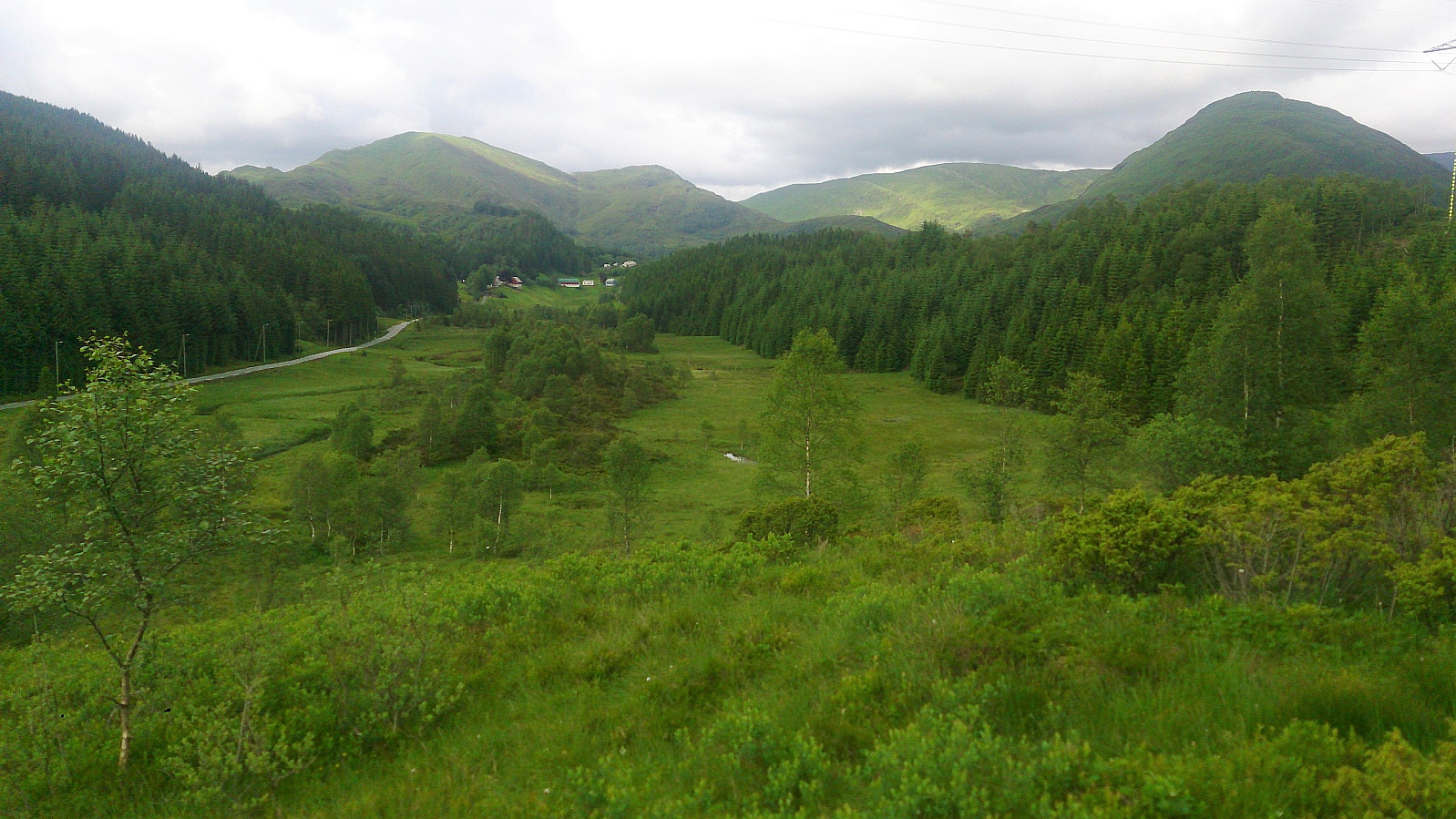
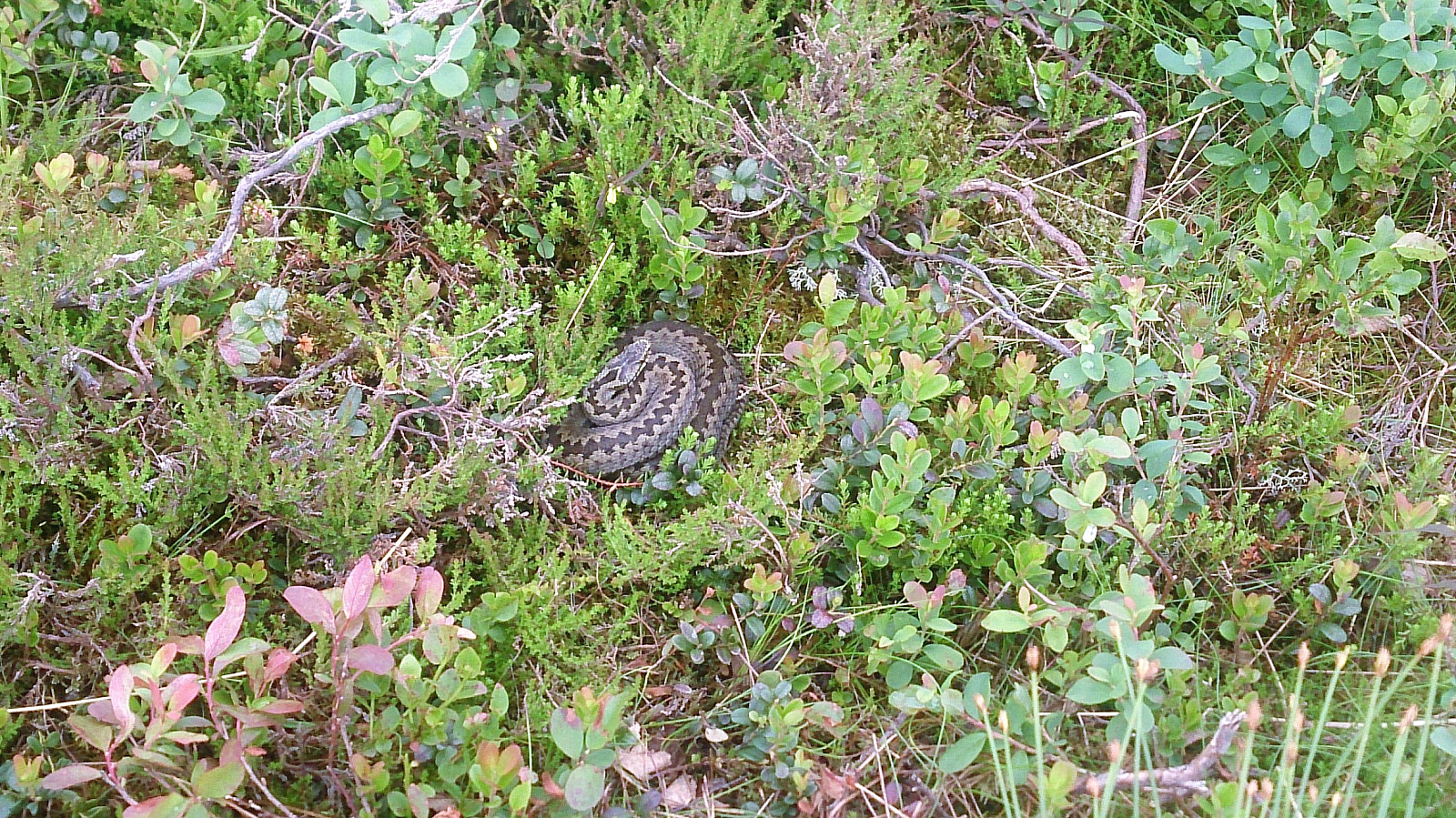
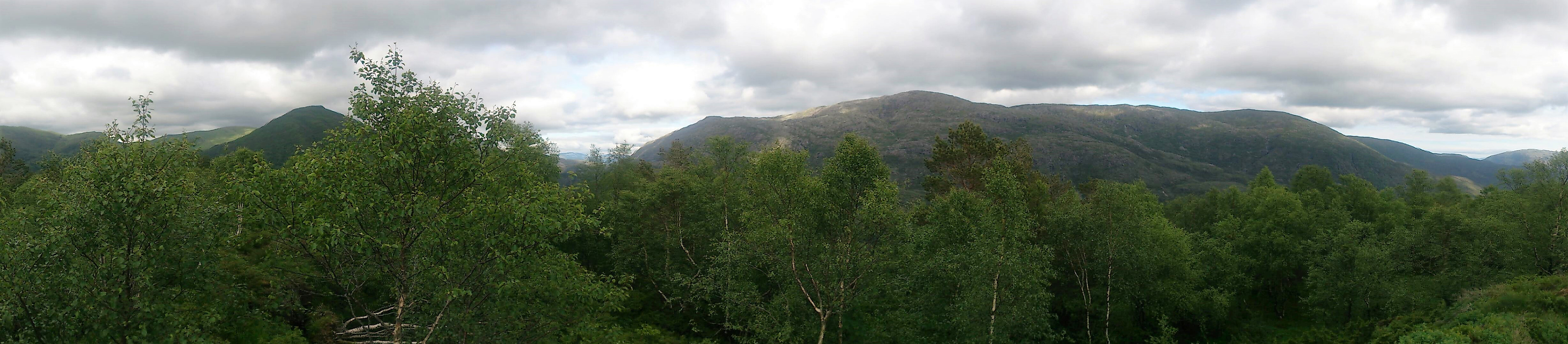
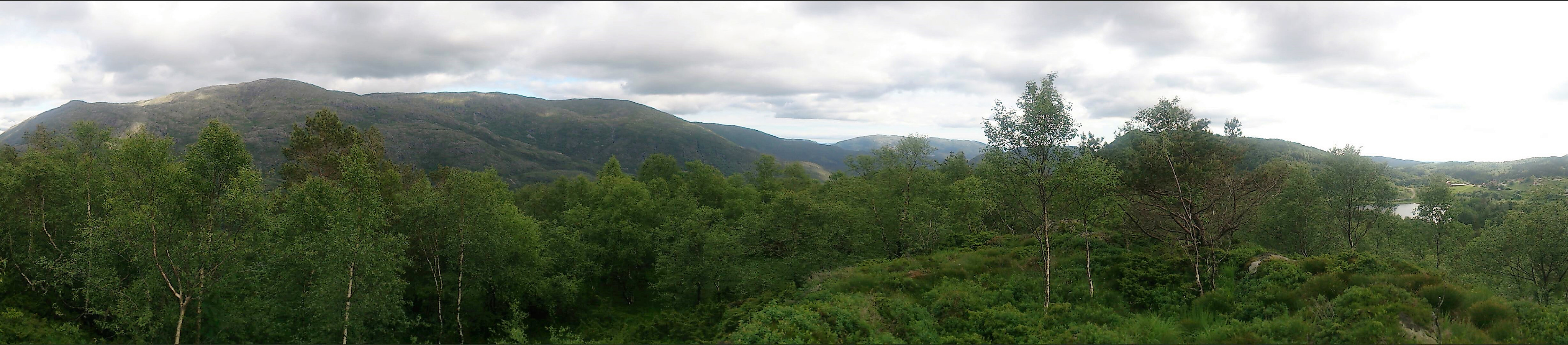
I continued east, partially following several interconnected deer tracks, and quickly arrived at the highest point of Lundåsane, which had better views than expected. However, I was soon to realize that I was not alone. As I was moving around taking pictures and about to set my foot down, parts of the ground suddenly started moving, and I quickly recognized the familiar brown and white markings of the Norwegian viper, i.e. huggorm! Thankfully I was able to jump over the viper as it slithered deeper into the low bushes. But on closer inspection I noticed yet another viper in the same area!
Suddenly I was not too keen on hanging around at the summit anymore. But in order to leave I had to traverse quite a lot of terrain, without any trails, that now very much looked like perfect hiding ground for vipers, with all small branches on the ground starting to look very suspicious... I decided to follow more or less the same route back to the cabin, but found myself enjoying the wet areas more than on the way up, assuming that such areas were less likely to contain vipers. For some reason getting back to the trail also felt much better than usual...
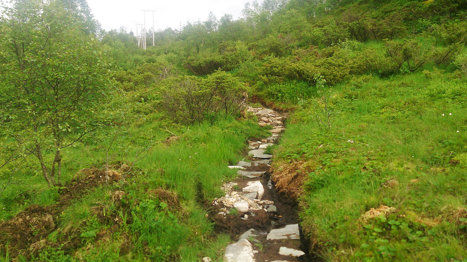
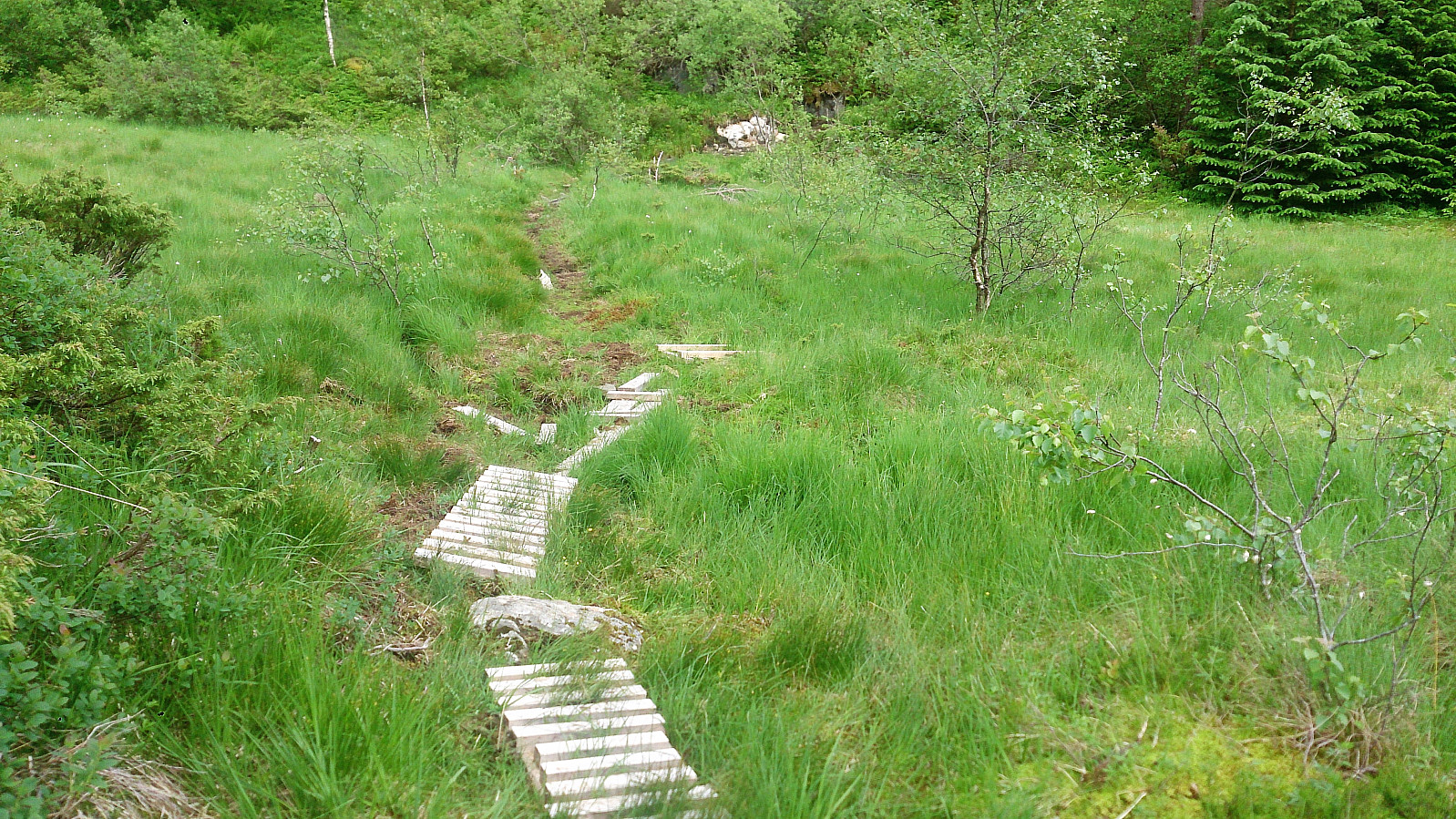
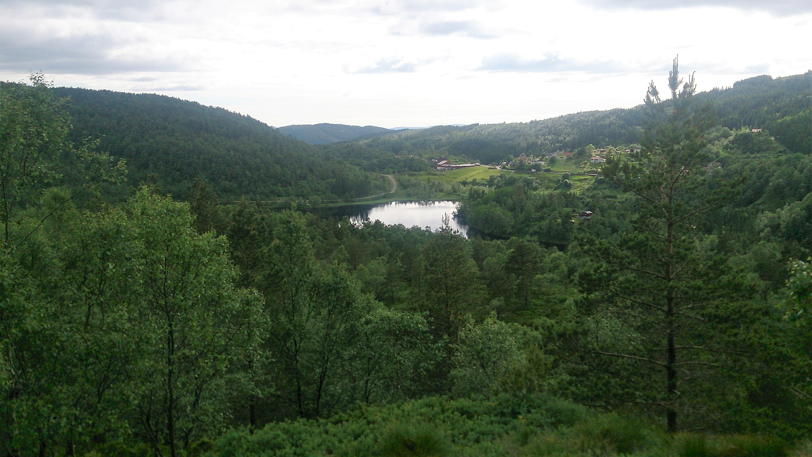
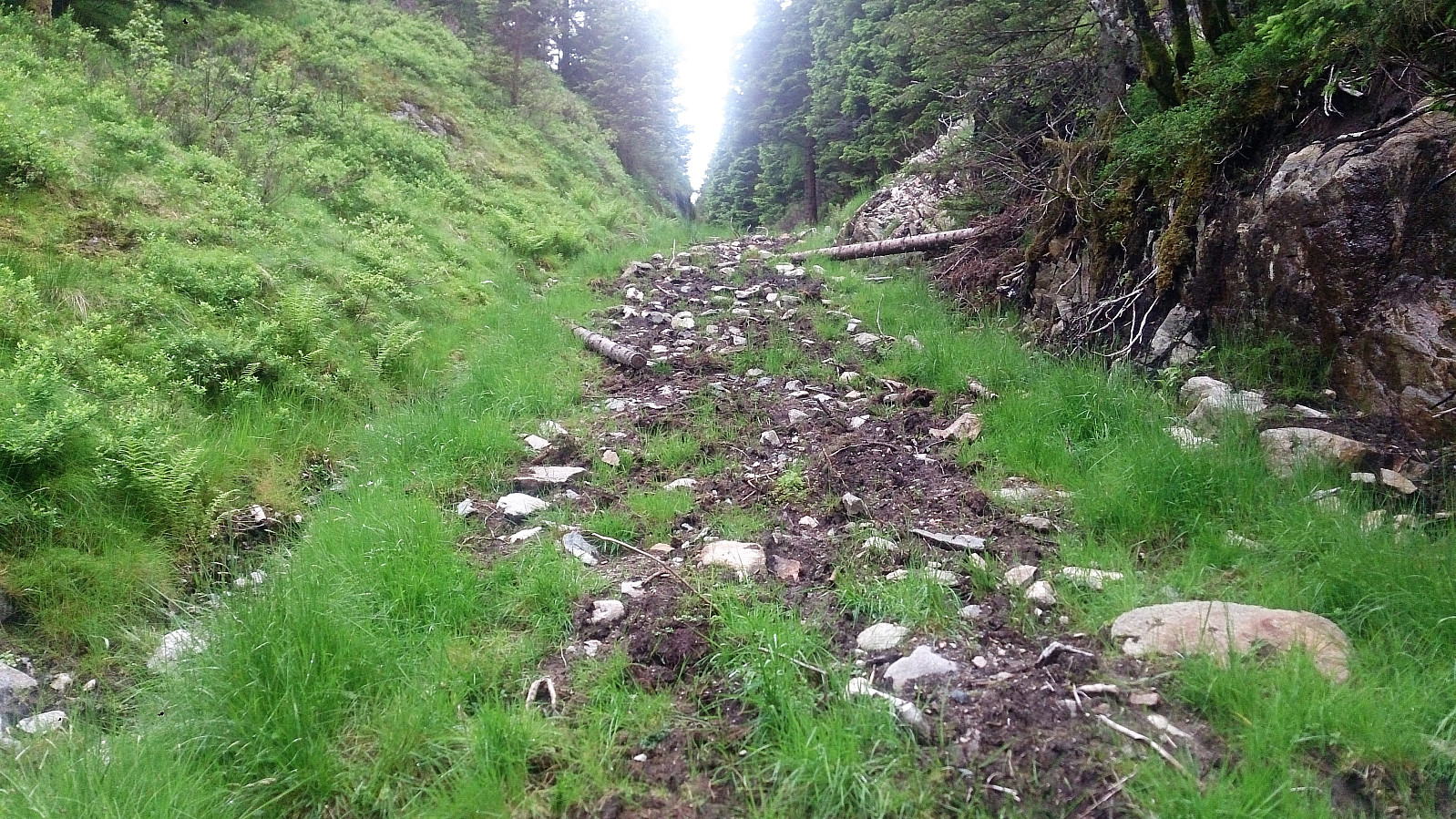
As there were no buses from Frotveit until the next day, the plan was now to walk to Totland and take the bus from there instead. On the map I had located what appeared to be a tractor road connecting the two locations, and I easily located the start, just south of where I had begun the hike.
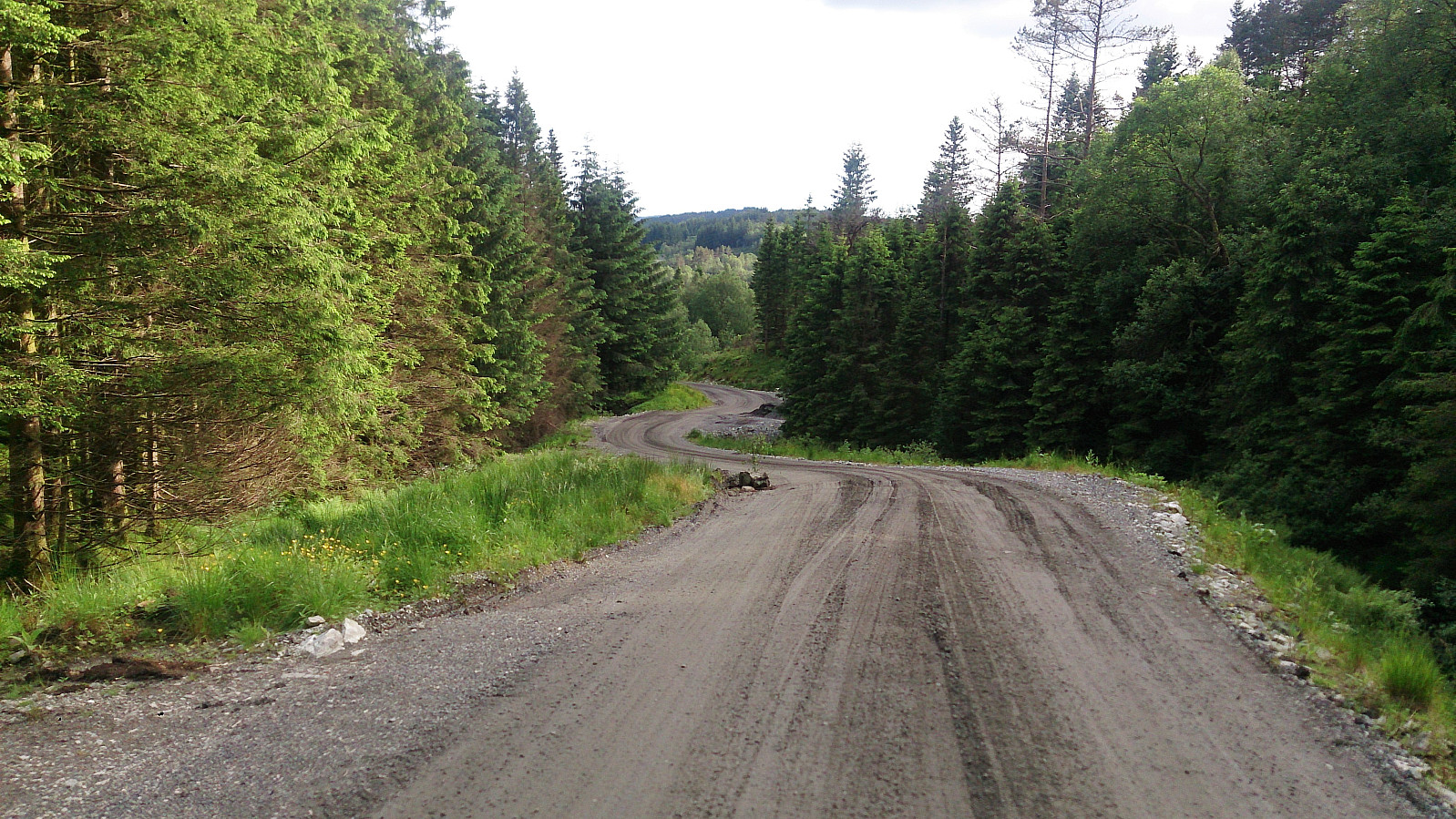
The tractor road turned out to be much wetter than expected, but also contained some nicer sections, including two small wooden bridges, and in the end I connected with the gravel road coming up from Totland. Now the only question was if I would get there in time for the bus, which I did, with five minutes to spare.
Overall, it's safe to say that this became a much more exciting hike than expected, due to both the deer and especially the vipers at the summit. Getting to the highest point of Lundåsane was also a lot easier than expected. But it could be that my threshold has been greatly lowered after previous recent ascents to many of the other similar peaks on the "Bergen ≥ 50m pf. og ≥ 100 m.o.h." list... ;)
| Starttidspunkt | 21.06.2017 17:14 (UTC+01:00 ST) |
| Sluttidspunkt | 21.06.2017 19:05 (UTC+01:00 ST) |
| Totaltid | 1t 50min |
| Bevegelsestid | 1t 46min |
| Pausetid | 0t 4min |
| Snittfart totalt | 3,2km/t |
| Snittfart bevegelsestid | 3,4km/t |
| Distanse | 5,9km |
| Høydemeter | 311m |

Kommentarer