Amlaholten (25.05.2017)

| Startsted | Amlaholten parkering (235moh) |
|---|---|
| Sluttsted | Amlaholten parkering (234moh) |
| Turtype | Fjelltur |
| Turlengde | 1t 40min |
| Distanse | 5,2km |
| Høydemeter | 316m |
| GPS |
|
| Bestigninger | Amleholten (508moh) | 25.05.2017 |
|---|---|---|
| Andre besøkte PBE'er | Amlaholten fra nordvest | 25.05.2017 |
| Amlaholten parkering (238moh) | 25.05.2017 | |
| Amleholten fra Festingsdalen | 25.05.2017 |
Amlaholten
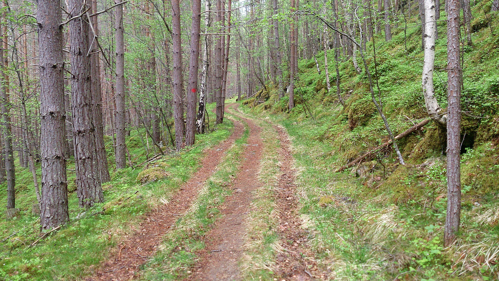
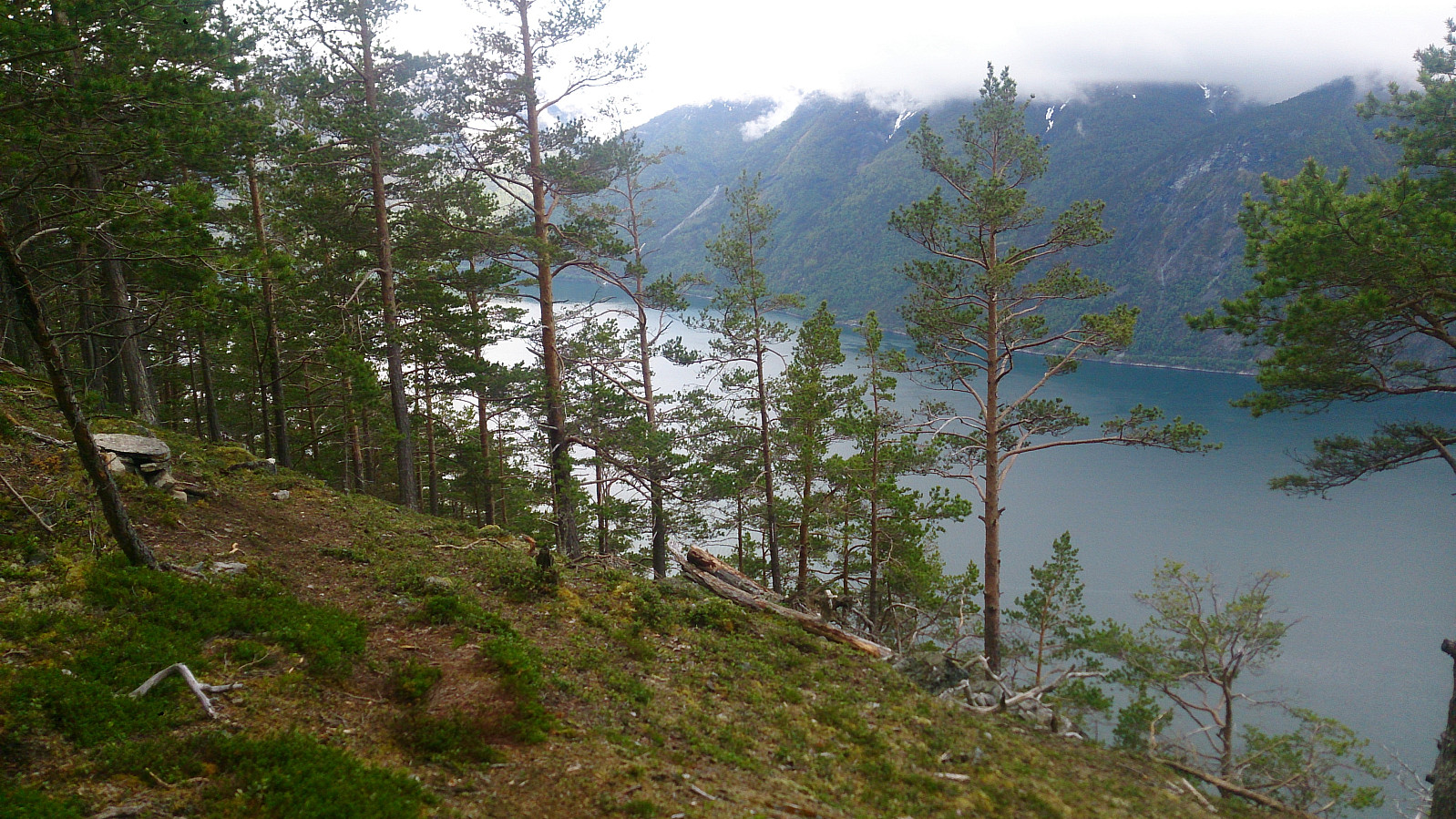
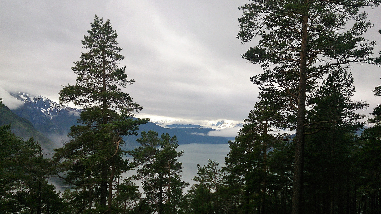
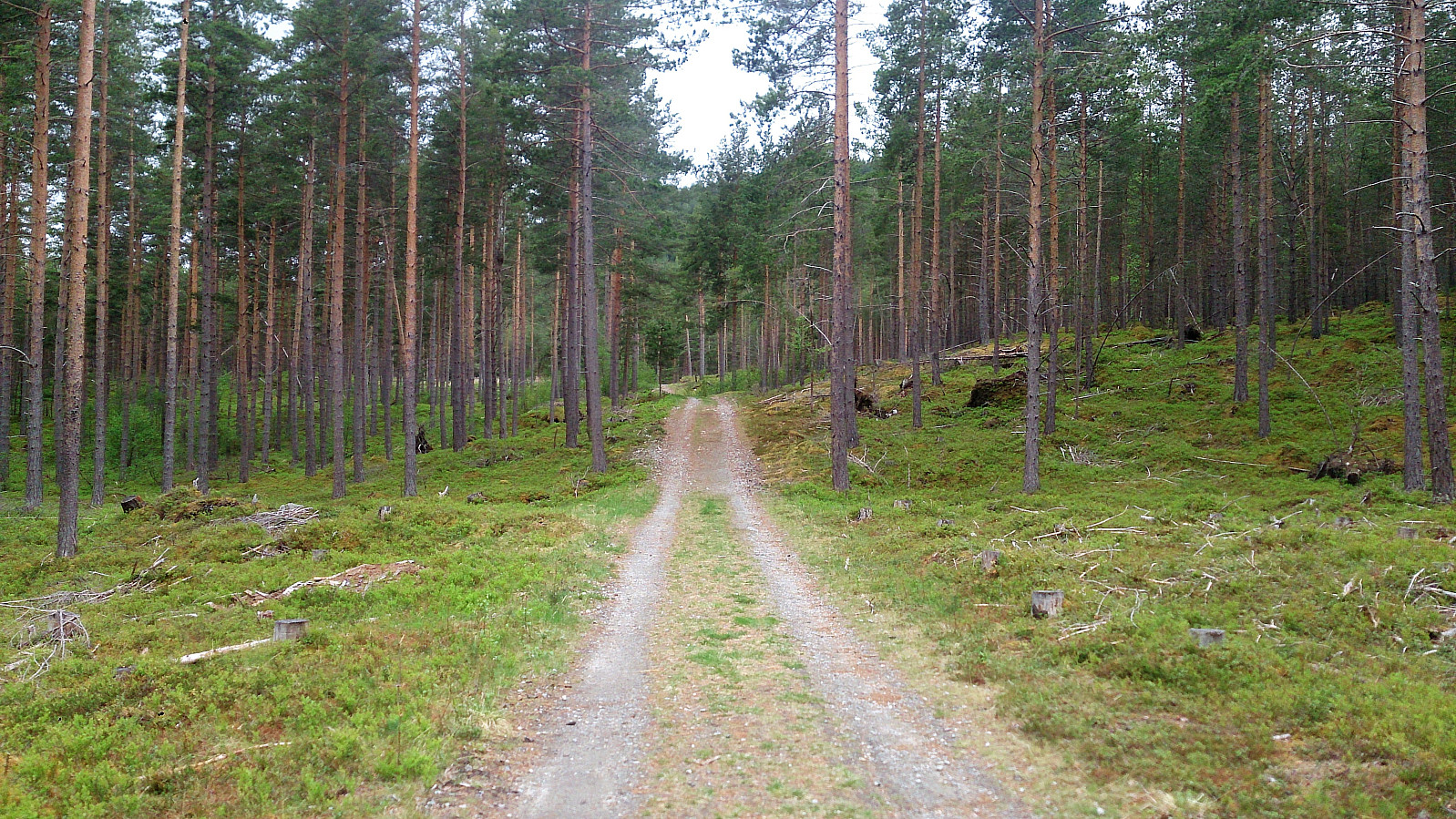
From Kaupanger we drove towards Mannheller (where the ferry goes to Fodnes), but before heading into the tunnel going down to the ferry, we left the highway and followed the road towards Festingdalen. A bit more than halfway to Festingdalen we located a small parking lot with signs indicating the trail to Amlaholten. We followed this trail/forest road west until it turned south and then east. Here we shortly left the main trail and located a nice viewpoint to the southwest.
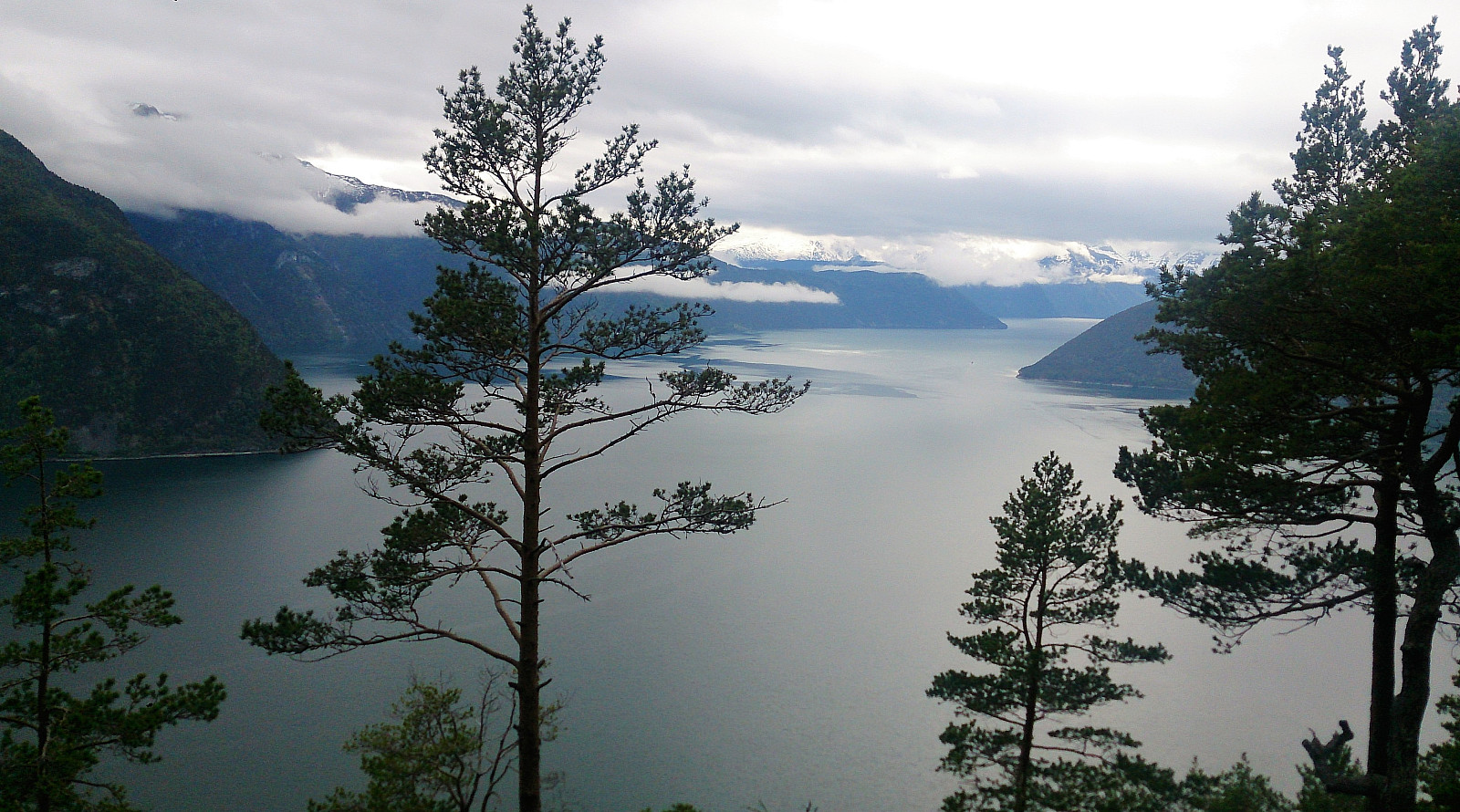
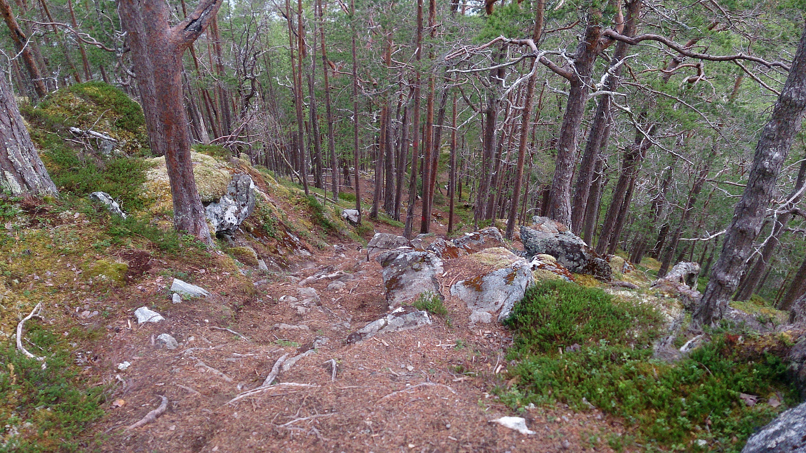
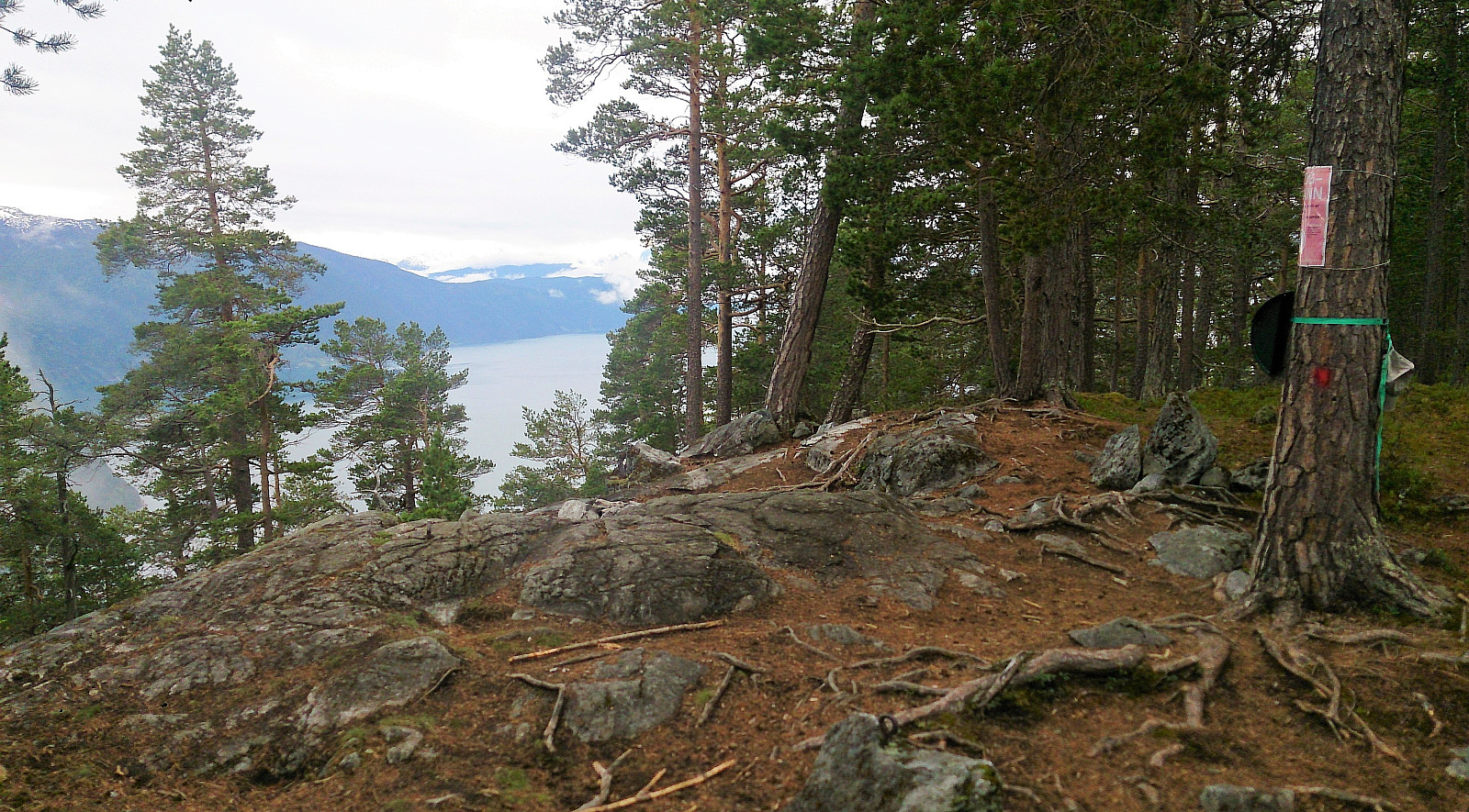
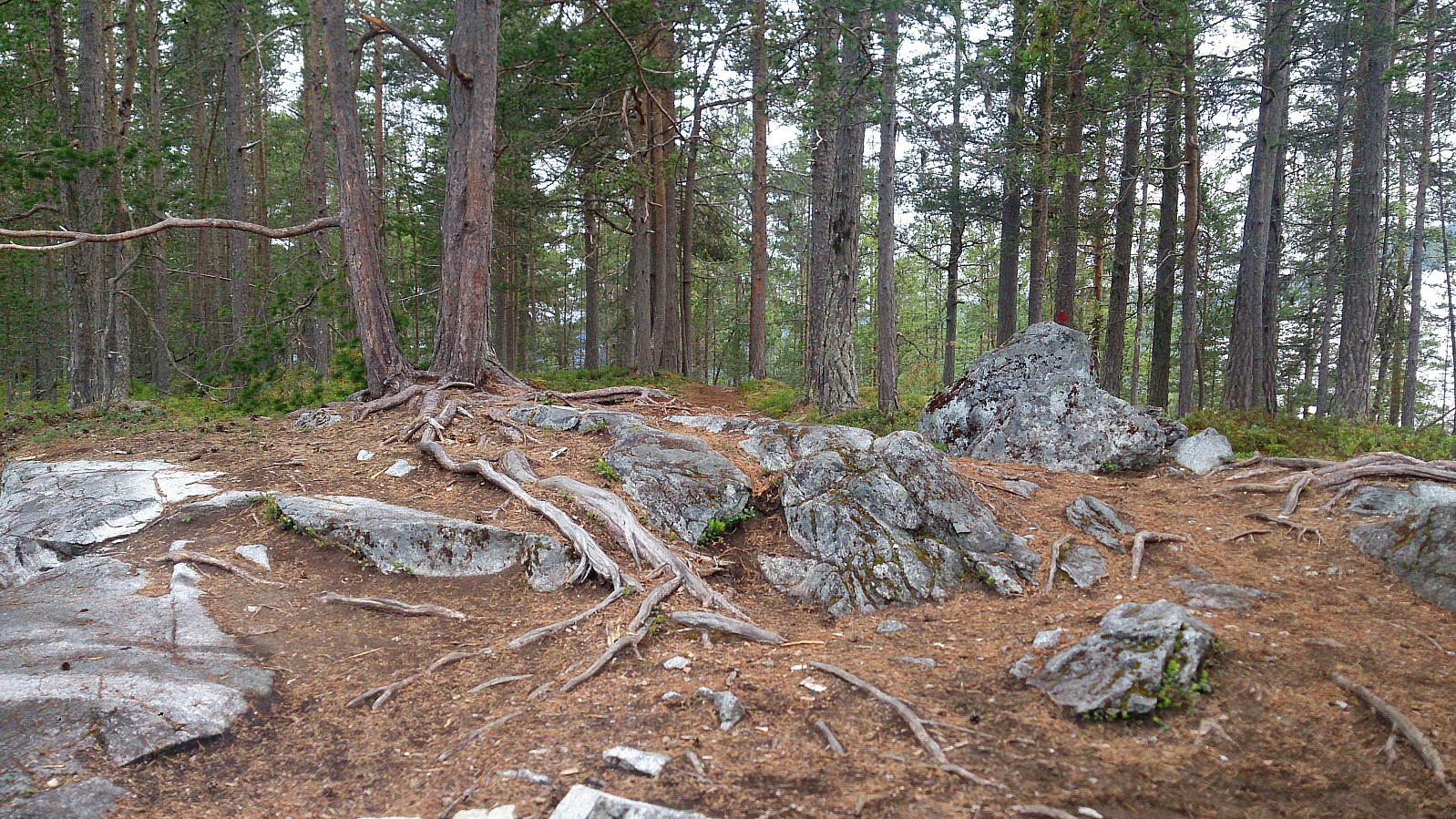
Next, we relocated the trail, which now got a lot steeper, and quickly arrived at the summit of Amlaholten. The views from the summit were nice, but rather limited due to all the trees. We continued east across the summit and followed the trail in the direction of Festingdalen, and finally arrived back at the road for a short 200 meter walk along the road back to the parking lot.
In summary, a nice hike along easy to follow trails and forest roads, with the exception of the rather steep ascent towards the summit. Rather limited views from the summit, but still worth a visit.
| Starttidspunkt | 25.05.2017 15:00 (UTC+01:00 ST) |
| Sluttidspunkt | 25.05.2017 16:40 (UTC+01:00 ST) |
| Totaltid | 1t 40min |
| Bevegelsestid | 1t 31min |
| Pausetid | 0t 9min |
| Snittfart totalt | 3,1km/t |
| Snittfart bevegelsestid | 3,4km/t |
| Distanse | 5,2km |
| Høydemeter | 316m |

Kommentarer