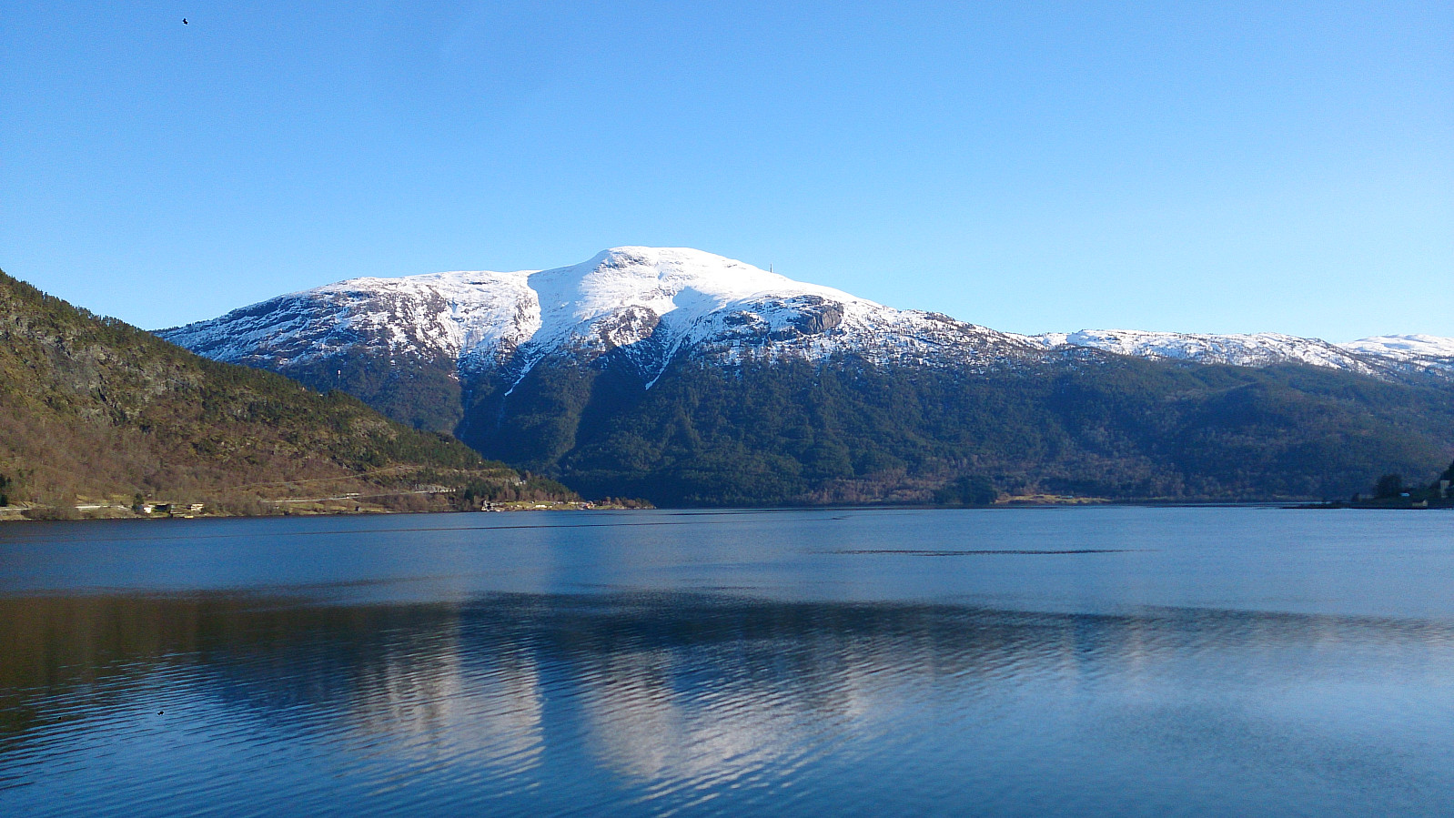
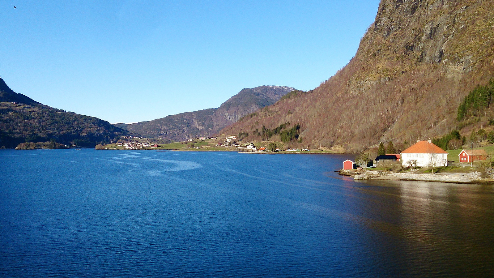
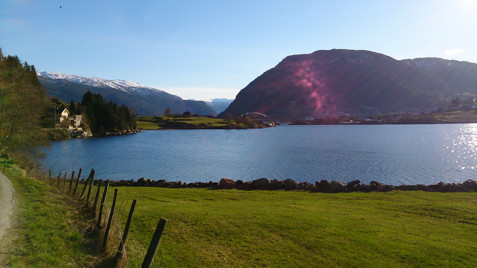
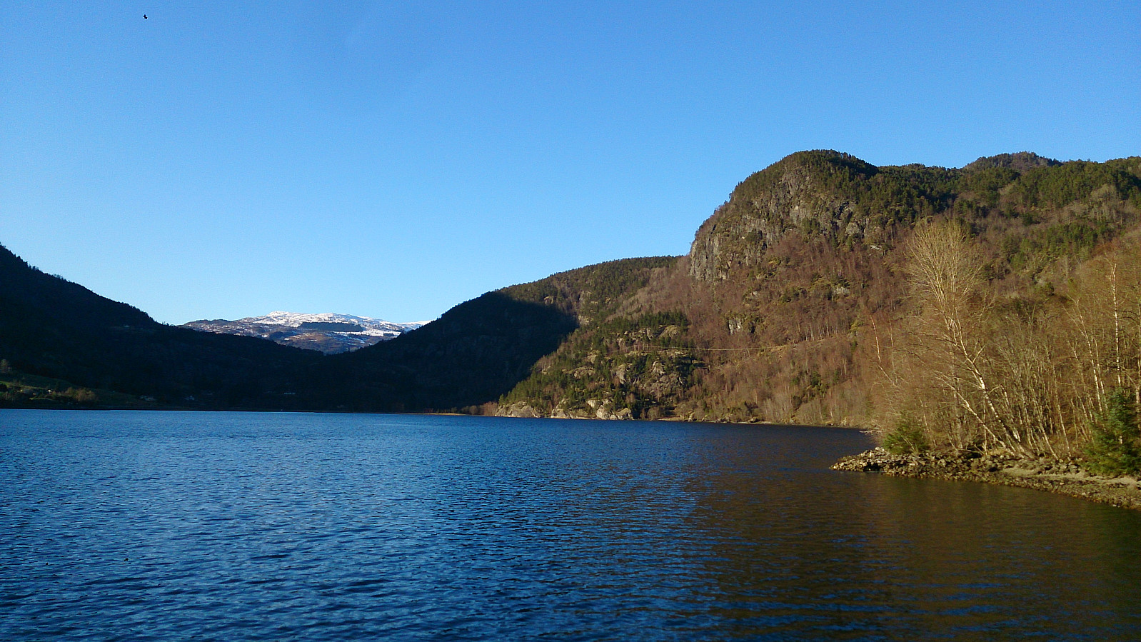
Hiking alongside Barsnesfjorden (14.04.2017)

| Start point | Fjøra (15m) |
|---|---|
| Endpoint | Barsnes (37m) |
| Characteristic | Hike |
| Duration | 1h 45min |
| Distance | 8.2km |
| Vertical meters | 170m |
| GPS |
|
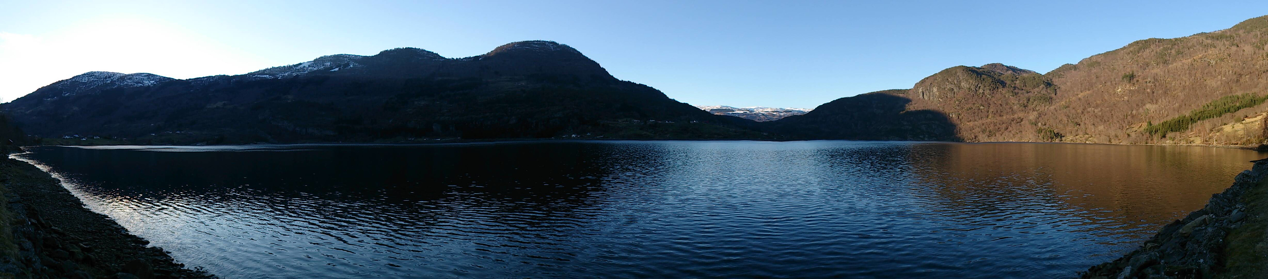
Hiking alongside Barsnesfjorden
Started from the center of Sogndal and walked along the roads, and later gravel roads, to the end of Barsnesfjorden.
(Note that the road this hike follows towards the end is private, i.e. no cars allowed. There are however a couple of parking spaces down by the small wharf along Barsnesfjorden just before the road turns west and starts climbing slightly towards the crossroads at Barsnes.)
| Start date | 14.04.2017 17:49 (UTC+01:00 DST) |
| End date | 14.04.2017 19:34 (UTC+01:00 DST) |
| Total Time | 1h 45min |
| Moving Time | 1h 38min |
| Stopped Time | 0h 6min |
| Overall Average | 4.7km/h |
| Moving Average | 5.0km/h |
| Distance | 8.2km |
| Vertical meters | 169m |

User comments
Of course!
Written by HHauser 20.04.2017 16:23Barsnes and Barsnesfjorden---makes perfectly sense! :-)
Re: Of course!
Written by hbar 20.04.2017 16:57:)