Storrinden (26.11.2016)

| Startsted | Kokstadvegen (71moh) |
|---|---|
| Sluttsted | Ytrebygdsvegen (57moh) |
| Turtype | Fjelltur |
| Turlengde | 1t 08min |
| Distanse | 4,8km |
| Høydemeter | 133m |
| GPS |
|
| Bestigninger | Storrinden (153moh) | 26.11.2016 |
|---|---|---|
| Andre besøkte PBE'er | Storrinden utsiktspunkt (142moh) | 26.11.2016 |
Storrinden
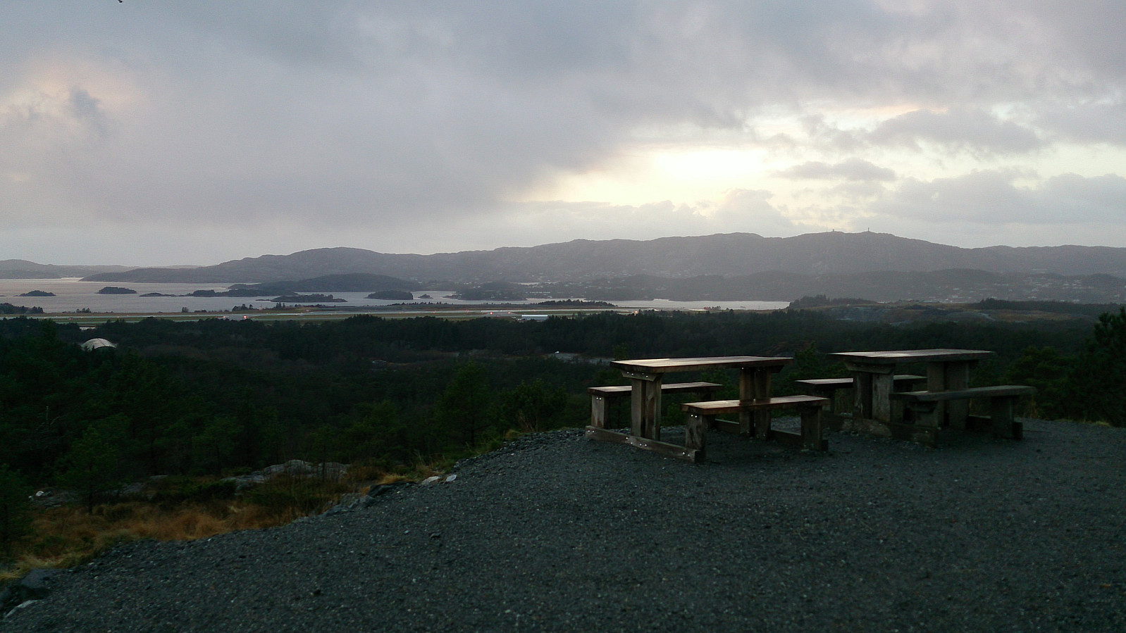
Started by taking the bus to Kokstadvegen and following the gravel road all the way to the summit of Storrinden. The best views were obtained southwest of the summit, which included excellent views towards Liatårnet and the airport at Flesland. I used the same route back to the starting point, but with a minor detour to Hammarslandsfjellet, which provided very limited views.
| Starttidspunkt | 26.11.2016 14:51 (UTC+01:00) |
| Sluttidspunkt | 26.11.2016 16:00 (UTC+01:00) |
| Totaltid | 1t 08min |
| Bevegelsestid | 1t 06min |
| Pausetid | 0t 2min |
| Snittfart totalt | 4,1km/t |
| Snittfart bevegelsestid | 4,3km/t |
| Distanse | 4,8km |
| Høydemeter | 132m |

Kommentarer