Svartaberget (16.11.2016)

| Startsted | Lyngbø (18moh) |
|---|---|
| Sluttsted | Bjørndalsbakken (26moh) |
| Turtype | Fjelltur |
| Turlengde | 1t 37min |
| Distanse | 6,1km |
| Høydemeter | 293m |
| GPS |
|
| Bestigninger | Svartaberget (194moh) | 16.11.2016 |
|---|---|---|
| Andre besøkte PBE'er | Tennebekktjernet (95moh) | 16.11.2016 |
| Tennebekktjørna p-plass (100moh) | 16.11.2016 |
Svartaberget
Started by taking the bus to Lyngbø and walking up Nipedalen to Tennebekktjørna, and onwards to Svartatjørna where I tried to locate a trail to Svartaberget. The trick was to follow a trail heading upwards in the northwesterly direction from Svartatjørna and when this flattened out follow a trail heading south.
I followed this trail towards the summit, but at one point the trail started descending. I then took a hard right (i.e. west) until reconnecting with what was likely a missed exit of the previous trail, which I could then easily follow all the way to the summit of Svartaberget.
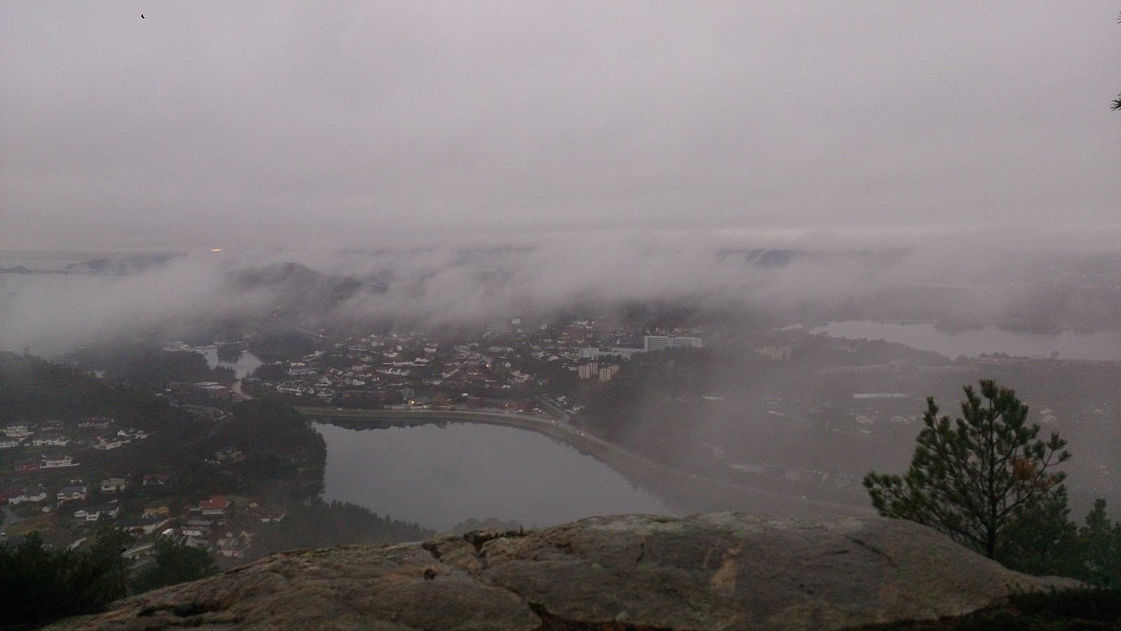
Given the bad weather and the low-hanging clouds, the views from the summit were limited, but are probably much better with nicer conditions. From the summit I followed a steep, and on this day very slippery, trail down to Ravnestølen, and then the road back to Bjørndalsbakken for the bus back to the city center.
| Starttidspunkt | 13.11.2016 13:57 (UTC+01:00) |
| Sluttidspunkt | 13.11.2016 15:35 (UTC+01:00) |
| Totaltid | 1t 37min |
| Bevegelsestid | 1t 31min |
| Pausetid | 0t 6min |
| Snittfart totalt | 3,7km/t |
| Snittfart bevegelsestid | 4,0km/t |
| Distanse | 6,1km |
| Høydemeter | 292m |

Kommentarer