Storhaugen, Repparåsen and Skåldalsfjellet (06.11.2016)

| Startpunkt | Stølsvegen (117m) |
|---|---|
| Endpunkt | Stølsvegen (79m) |
| Tourcharakter | Bergtour |
| Tourlänge | 6h 10min |
| Entfernung | 14,7km |
| Höhenmeter | 855m |
| GPS |
|
| Besteigungen | Repparåsen (609m) | 06.11.2016 |
|---|---|---|
| Skåldalsfjellet (718m) | 06.11.2016 | |
| Storhaugen (567m) | 06.11.2016 | |
| Sælinga (682m) | 06.11.2016 | |
| Besuche anderer PBE | Garnesrinden (621m) | 06.11.2016 |
| Repparåsen utsiktspunkt (605m) | 06.11.2016 | |
| Stølsvegen parkering (90m) | 06.11.2016 |
Storhaugen, Repparåsen and Skåldalsfjellet
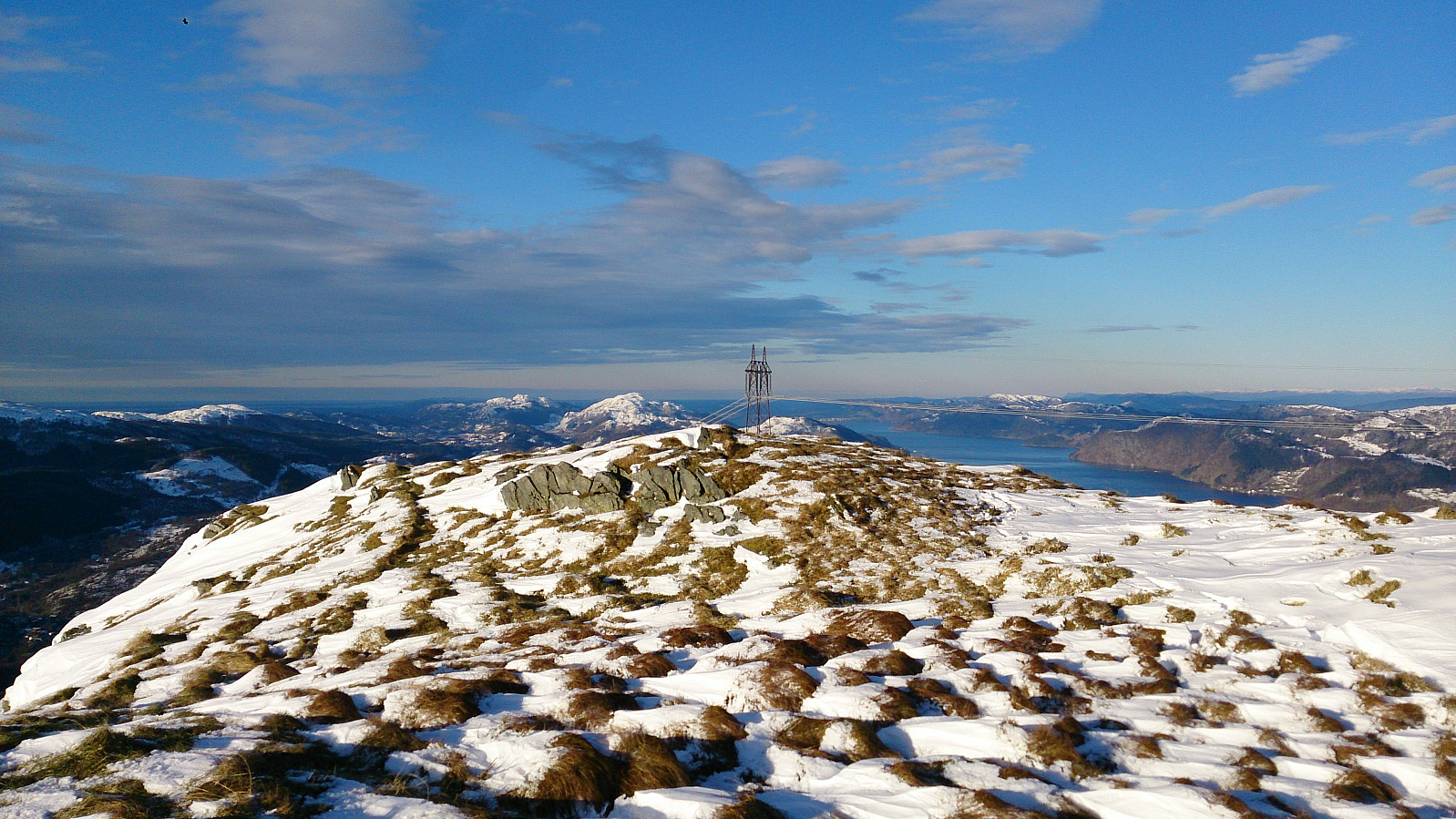
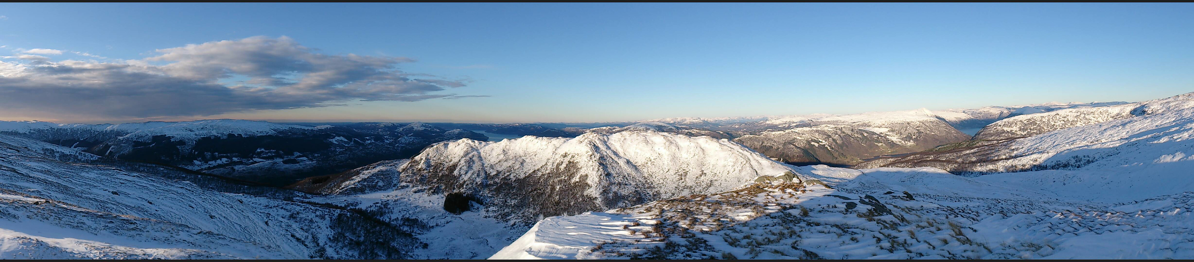
We started from the parking lot in Stølsvegen in Arna and from there followed the marked trail to Reppadalen. Here we turned north and started our accent to Repparåsen. The snow started getting deeper, at times up to half a meter to a meter deep, making the progress significantly slower than expected. We therefore rejected our original plan of going via Herlandsfjellet and instead headed directly towards the summit of Skåldalsfjellet.
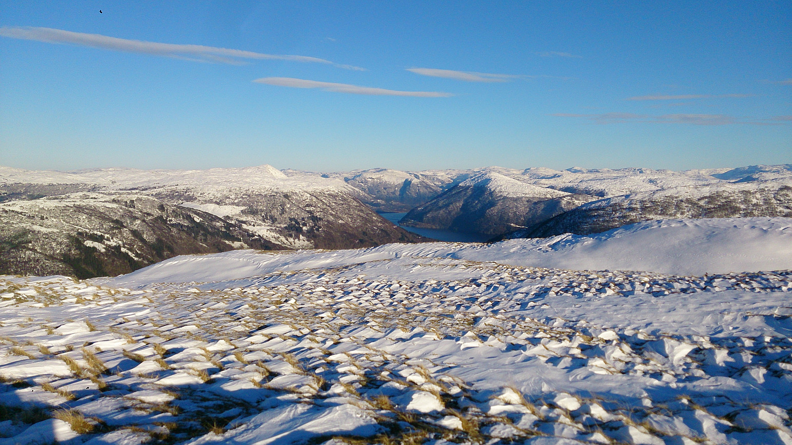
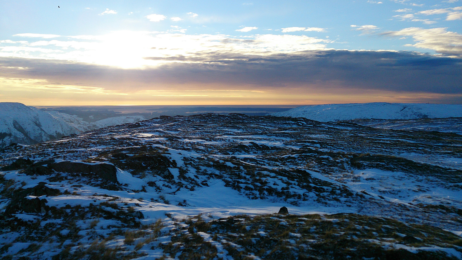
From Skåldalsfjellet the plan was to head to Skåldalsnipa before descending to Raudtjørn. But as it was now getting fairly dark, we instead decided to go to the unnamed 685m hill northeast of Skåldalsnipa (later named Sælinga) and from there follow the ridge back down to Reppadalen. This turned out to be a good decision, given that we had to rely on flashlights to properly see the road for the last kilometers back to the car.
All in all in excellent hike, with just a tiny bit more snow than expected. ;)

| Startzeitpunkt | 06.11.2016 11:25 (UTC+01:00) |
| Endzeitpunkt | 06.11.2016 17:36 (UTC+01:00) |
| Gesamtzeit | 6h 10min |
| Zeit in Bewegung | 5h 31min |
| Pausenzeit | 0h 39min |
| Gesamtschnitt | 2,4km/h |
| Bewegungsschnitt | 2,7km/h |
| Entfernung | 14,7km |
| Höhenmeter | 855m |

Benutzerkommentare