
Kofta (and Gullfjellet) from Nordbø (20.06.2020)

Written by HHauser (Helwig Hauser)

| Start point | Nordbø (65m) |
|---|---|
| Endpoint | Nordbø (65m) |
| Characteristic | Hike |
| Duration | 6h 00min |
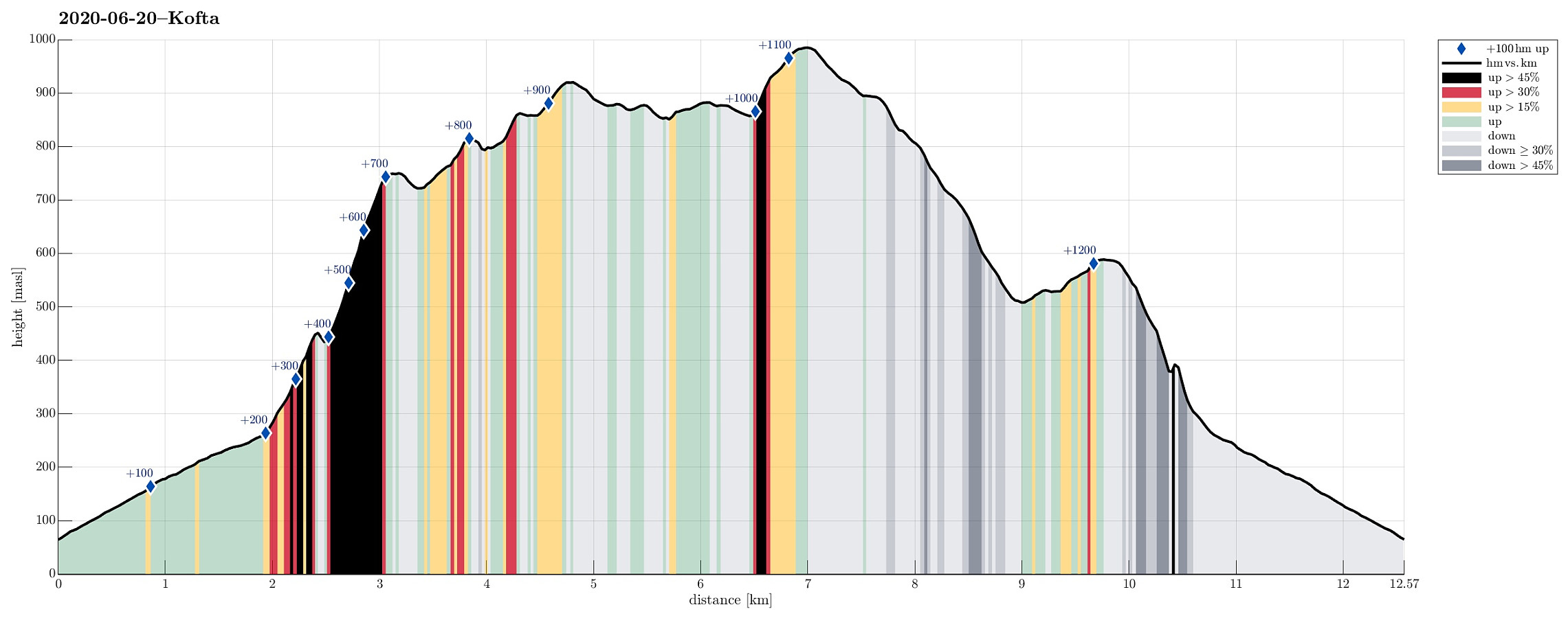
| Distance | 12.6km |
| Vertical meters | 1,235m |
| GPS |
|
| Ascents | Gullfjelltoppen (987m) | 20.06.2020 |
|---|---|---|
| Kofta (921m) | 20.06.2020 | |
| Kofta, Ø-1 (869m) | 20.06.2020 | |
| Kofta, Ø-2 (826m) | 20.06.2020 | |
| Mannaleitnipa (593m) | 20.06.2020 | |
| Rennebrotet (756m) | 20.06.2020 |

Trip Summary
For at least two years, already, we had (occasionally) considered this hike: Kofta from Nordbøbotnen. After a relaxing morning, and knowing that the days are (very) long at this time of the year, we decided to go and do it. We drove from Bergen (via E16 first, then across Gullbotn) and left road #7 right after Hisdalstunnelen (to the right), where it leads on into the direction of Osøyro. Driving down road #137 for only a short stretch, we came to Nordbø, where we turned right (again), now in northern direction. From there, we continued for just about 850m, or so, until we had passed the last house. There, before entering the forest, we parked next to the road. We first walked along the forest road (the same road that we had come in with the car further down) up to about 200mosl (only a few meters after crossing a significant stream), where the main road turns left (and another, minor forest road joins from the north). We followed the "main road" further, passing by Brualeitet and crossing the stream once again (now in southwestern direction). Shortly after, we arrived at Fagerbotnen, where previously a quarry was. After first walking into the valley in southwestern direction, we quickly turned more and more left, until we had begun our main ascent to Rennebrotet (leaving the main valley in southern direction and fairly steeply upwards). This ascent to Rennebrotet is significantly steep, but well doable (especially on a relatively dry day). Good shoes, however, and some good shape are definitely of good use up there. At about 750mosl, one then reaches the first "top" along the rigged ridge, leading further up to Kofta. From there, it's then "down and up" (several times) until one gets to Kofta (in the southwest of Rennebrotet). The landscape is pretty wild up there, but it's without any really problems to proceed towards the goal. Kofta is a strange mountain; while it's clearly a worthwhile hiking goal, with nice views (if the weather cooperates), it lacks a real top, to be honest (at least the highest point on Kofta is one that's not east to locate once you are there). From Kofta, we then headed towards Gullfjellet, following the ridge in the north of Kofta. This really is a nice walk, a bit "up and down", with great views, in particular to the north (and into the valley where we came from). Once close to Gullfjellet, one ends up on a somewhat extended (little) ridge and one has to follow it quite a bit (in northeastern direction), before it becomes possible to cross over to the eventual ascent to Gullfjelltoppen. Once on the other side, we use a large field of snow to ascend (more or less) straight up to Gullfjelltoppen. After a short break at the top, we started our descent, heading towards Kråfjellet on the other side of the valley that we came from. Originally, we've had an idea to include a short detour to Storegga, but this was cancelled due to very thick fog that had appeared around us within a few minutes only. In fact, we found it helpful to have a well-marked trail ahead of us (the main trail between Gullfjelltoppen and Gullbotn). Following this trail was then well doable (even though it happened once that we were searching a little for the next cairn). This brought us down to about 500mosl, where one enters a wide valley above Gullstølen. There, we departed from the trail, heading for Kråfjellet (in the southeast). We quickly hiked up to Mannaleittjørna and from there further up to Kråfjellet. The original plan was to descend first along the eastern flank of Kråfjellet (down to about 330mosl and into the first major saddle there), before then turning right (and southwards) to connect "diagonally" across the southeastern side of Kråfjellet to find one of the forest roads north of Brualeitet. In the dense fog, however, we misjudged the orientation of the top-most ridge lines on Kråfjellet a little and ended up descending in southern direction, instead. Even though this lead us into steep terrain pretty quickly, it was still nicely doable (with a bit of caution it was OK). At about 400mosl (already down in the forest), however, we had come to a point, where it seemed that the terrain ahead of us was simply too steep. With a bit of retreat and connecting into a simple valley a bit further east, however, we were able to get back "on track" and descending further down there we again well doable (with the necessary care, of course). Only a bit further down, then, the terrain flattened out significantly and connecting to one of the forest roads then was simple and nice! Once on the forest road, of course, it became trivial to hike back to our car. All in all, this really was a very nice hike (even though it's recommended to choose another route down from Kråfjellet).
Photos
Selected photos are available as Google photo album.
Useful Resources
See also the related FB-page Hiking around Bergen, Norway.
Petter Bjørstad has a useful page about Gulfjellet and also web page WestCoastPeaks.com provides useful information about Kofta (this page, I think, was the first one which brought this idea of ascending to Kofta from the north to my mind).
Web page UT.no from the Norwegian Trekking Association recommends the hike from Gullbotn to Gullfjelltoppen.


User comments