Archive - Date
Archive - Activity
- Bike trip (4)
-
Climbing (35)
- Alpine climbing (34)
- Sport climbing (1)
-
Ski trip (109)
- Backcountry skiing (2)
- Cross-country skiing (17)
- Randonnée/Telemark (90)
-
Trip by foot (1192)
- Alpine trip (35)
- Hike (7)
- Hillwalk (25)
- Jogging (1123)
Archive - Geography
Peakbook-Friends


Collected lists
-
The alps 4000m 100m prom.
(43/50)
 86%
86% -
2300m 50m pf. - Stortoppene
(18/21)
85%
-
Hytter og objekter i Byfjellene
(86/101)
85%
-
2000m 100m pf. fastlandet.
(107/129)
82%
-
Bergenshalvøya ≥ 100m pf. og ≥ 300 m.o.h.
(24/29)
82%

Favourite peaks


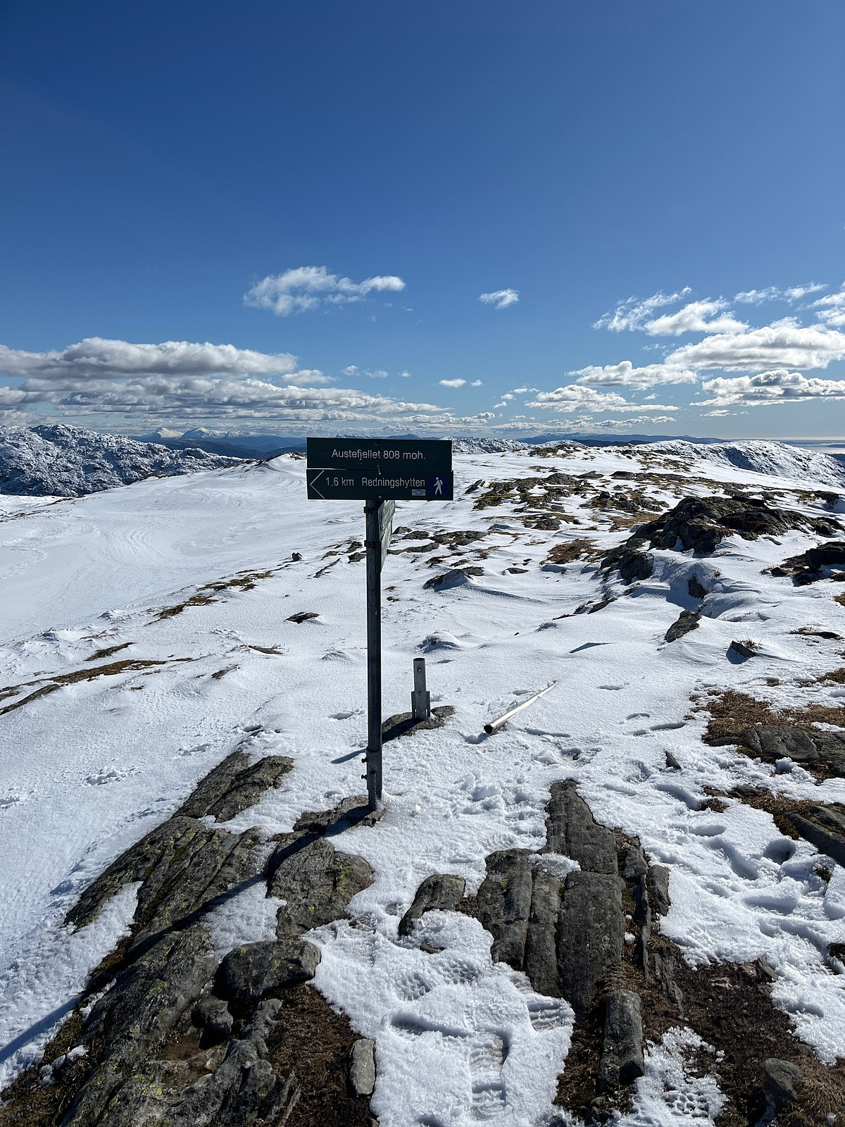
Gullfjelltoppen, Sydpolen og Austefjellet
- Date:
- 14.03.2025
- Characteristic:
- Hillwalk
- Distance:
- 18.7km
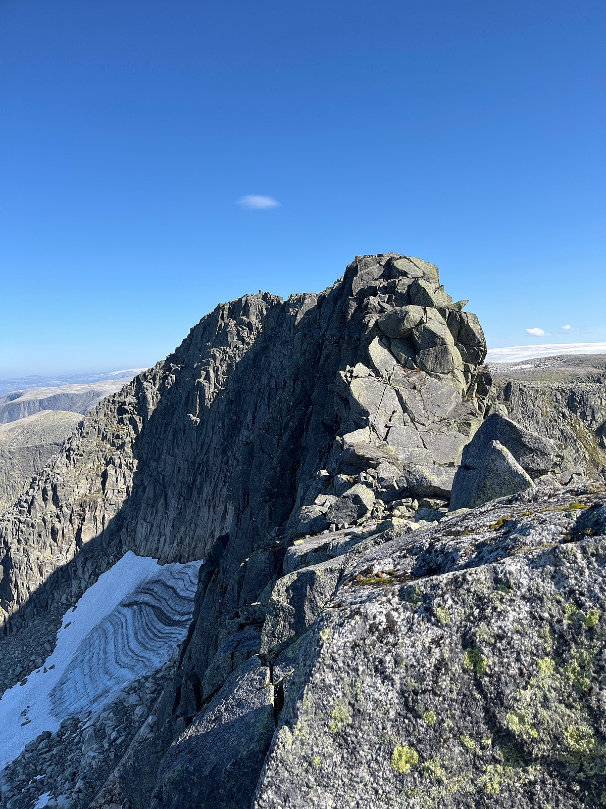
Alphubel
- Date:
- 12.08.2022
- Characteristic:
- Hillwalk
- Distance:
- 6.9km
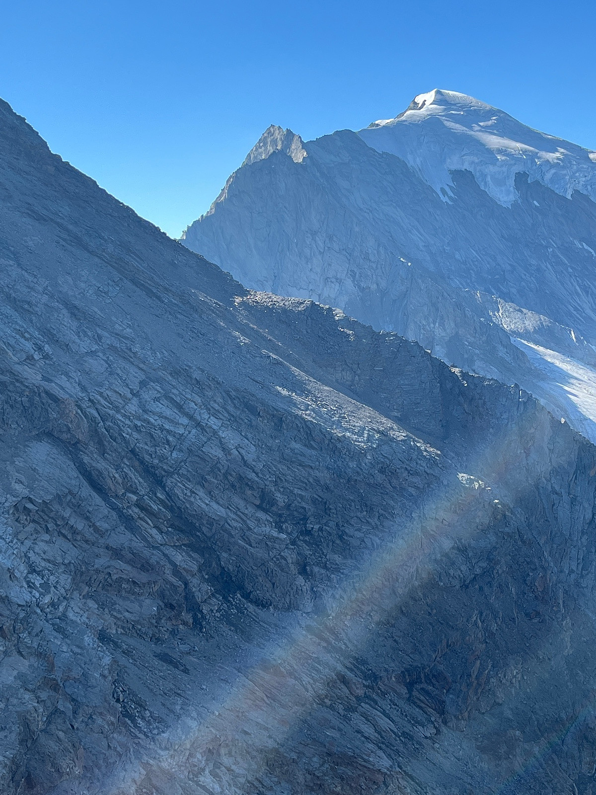
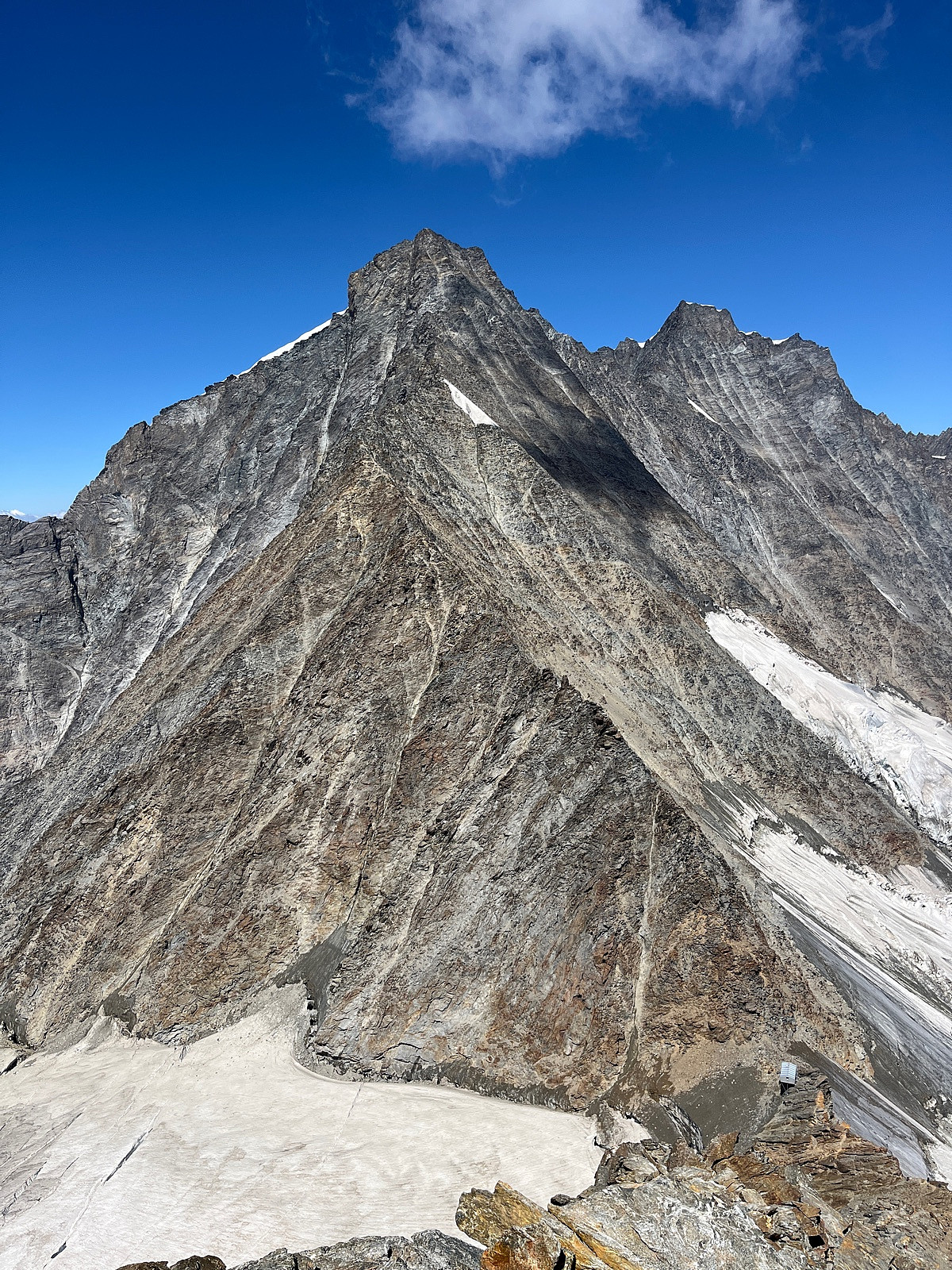 Start fra Saas Fee hvor det går heis til 3500moh. Gunnstig med sekken full av vann og mat for 2 dager. Fulgte den tradisjonelle ruten mot Allalinhorn til ca. høyde 3826. Herfra går ruten over en egg uten klatring - Feechopf. Videre over bre og etterhvert brattere mot Alphubel. Enkel topp! Videre lett klyving ned til Michabelbiwak for overnatting. Planen var Taschhorn, men etter en natt med oppkast stoppet turen her; Mischabeljochbiwak. Tung tur tilbake til Saas Fee med uforrettet sak!