Archivo - fecha
Archivo - actividad
- Ciclismo (2)
-
Escalada (8)
- Escalada alpino (7)
- Escalada mixta (1)
-
Excurción de esquí (49)
- Randonnée/Telemark (49)
-
Excurción de otro tipo (1)
- Expedicion (1)
- Excursión de invierno, otro tipo (10)
-
Senderismo (232)
- Excurción alpino (60)
- Running (11)
- Senderismo (69)
- Senderismo de montaña (90)


Listas obtenidas
-
Romsdal ≥ 100m pf.
(135/301)
 44%
44% -
Sunnmøre ≥ 100m pf.
(79/531)
14%
-
Norges 1000 største fjell målt i primærfaktor
(53/1000)
5%


Søre Venjetinden
- Fecha:
- 02.10.2021
- Tipo de excursión:
- Excurción alpino
- Duración:
- 7:22h
- Distancia:
- 11.0km
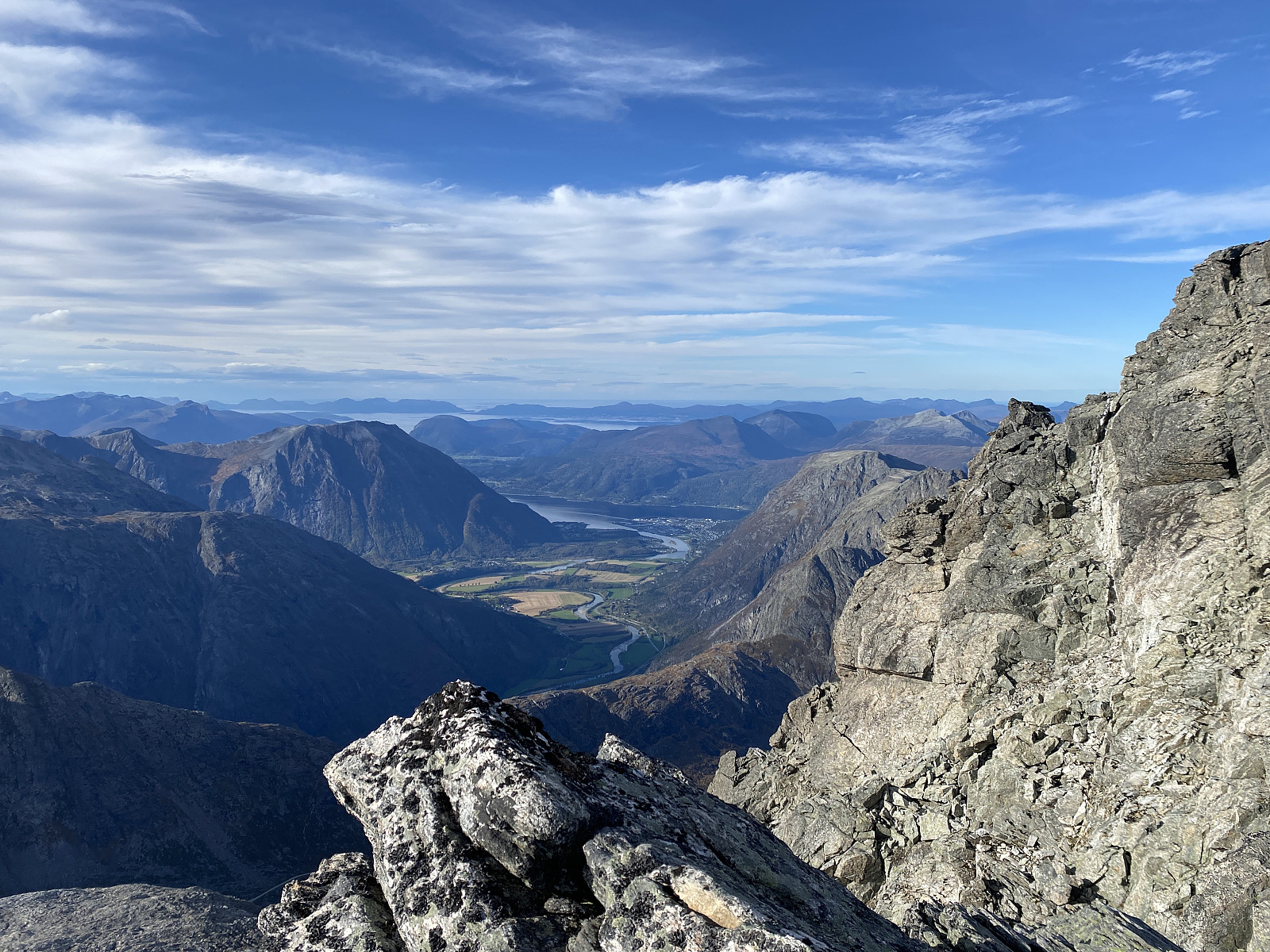 Jeg besøkte Store og Lille Venjetind i midten av august i år [Link til turen: Store og Lille Venjetind ], og har siden hatt lyst til å forsøke meg på å gå hele Venjetindtraversen. Imidlertid kom jeg meg litt sent av gårde denne dagen, og etter å ha kjørt en halvtimes tid på vei til Åndalsnes, kom jeg på at jeg hadde glemt å ta med hodelykt. Jeg visste at solen ville gå ned i syv-tiden, og at det ville være mørkt ca. kl. åtte om kvelden; men om jeg kunne komme i gang med å gå like etter klokken tolv, så hadde jeg jo om lag 8 timer på meg, hvilket jeg tenkte skulle holde.
Jeg kjørte opp til parkeringsplassen helt øverst i Venjedalen, satte bilen fra meg der oppe, og gav meg i kast med stien oppover mot den lille hengedalen mellom Romsdalshornet og Olaskarstinden (se kart). Jeg gikk imidlertid feil >>>
Jeg besøkte Store og Lille Venjetind i midten av august i år [Link til turen: Store og Lille Venjetind ], og har siden hatt lyst til å forsøke meg på å gå hele Venjetindtraversen. Imidlertid kom jeg meg litt sent av gårde denne dagen, og etter å ha kjørt en halvtimes tid på vei til Åndalsnes, kom jeg på at jeg hadde glemt å ta med hodelykt. Jeg visste at solen ville gå ned i syv-tiden, og at det ville være mørkt ca. kl. åtte om kvelden; men om jeg kunne komme i gang med å gå like etter klokken tolv, så hadde jeg jo om lag 8 timer på meg, hvilket jeg tenkte skulle holde.
Jeg kjørte opp til parkeringsplassen helt øverst i Venjedalen, satte bilen fra meg der oppe, og gav meg i kast med stien oppover mot den lille hengedalen mellom Romsdalshornet og Olaskarstinden (se kart). Jeg gikk imidlertid feil >>>

Store og Lille Venjetind
- Fecha:
- 16.08.2021
- Tipo de excursión:
- Excurción alpino
- Duración:
- 8:50h
- Distancia:
- 9.4km
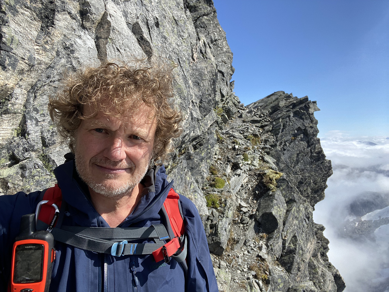 En tur jeg en tid hadde ønsket å ta, var turen opp på Store og Lille Venjetind [hhv. 1852 og 1822 m.o.h.]. Jeg hadde på forhånd forberedt meg brukbart til turen, syntes jeg, og blant annet lest flere turbeskrivelser om den her på Peakbook. Så jeg kjørte inn til Åndalsnes denne morgenen, og videre opp i Venjedalen, hvor jeg parerte i Naustvika P-lomme, like ved enden av Venjedalsvatnet (se kart/GPS-tracking). Skydekket hang lavere ned i fjellene enn jeg hadde håpet på, men jeg bestemte meg for å forsøke meg likevel, så fikk det heller bli en rekognoseringstur dersom sikten skulle vise seg for dårlig til å gjennomføre hele turen.
Fra Naustvika går det sti oppover ei bratt renne, som til slutt ender opp i skaret mellom Nordre Venjetind [1510 m.o.h.] og Store Venjetind (se kart). >>>
En tur jeg en tid hadde ønsket å ta, var turen opp på Store og Lille Venjetind [hhv. 1852 og 1822 m.o.h.]. Jeg hadde på forhånd forberedt meg brukbart til turen, syntes jeg, og blant annet lest flere turbeskrivelser om den her på Peakbook. Så jeg kjørte inn til Åndalsnes denne morgenen, og videre opp i Venjedalen, hvor jeg parerte i Naustvika P-lomme, like ved enden av Venjedalsvatnet (se kart/GPS-tracking). Skydekket hang lavere ned i fjellene enn jeg hadde håpet på, men jeg bestemte meg for å forsøke meg likevel, så fikk det heller bli en rekognoseringstur dersom sikten skulle vise seg for dårlig til å gjennomføre hele turen.
Fra Naustvika går det sti oppover ei bratt renne, som til slutt ender opp i skaret mellom Nordre Venjetind [1510 m.o.h.] og Store Venjetind (se kart). >>>
Opp Nordryggen til Gjuratinden
- Fecha:
- 12.08.2021
- Tipo de excursión:
- Excurción alpino
- Duración:
- 7:24h
- Distancia:
- 13.7km
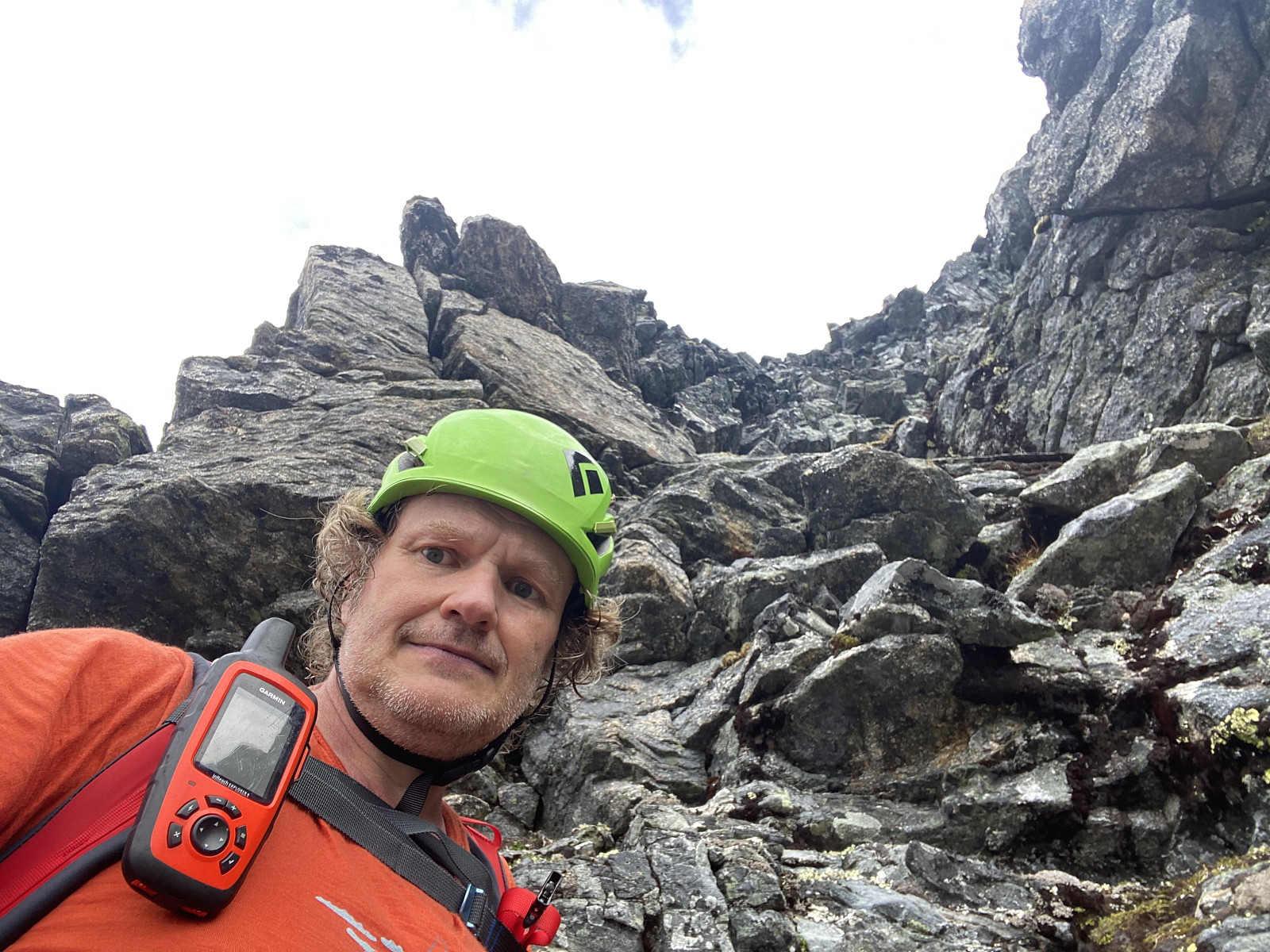 Gjuratinden kan bestiges enten via nordryggen eller sørryggen. Det vanligste er, så vidt jeg forstår, å nå toppen fra sør; for dette skal visstnok være hakket enklere. Imidlertid krever tilgangen fra sør at man først krysser Hoem-breen for å komme opp på sørryggen, og nå om sommeren kan det være litt tricky å krysse over fra bre til fast fjell, ettersom en hel del av isen kan være smeltet bort fra undersida av breen, slik at brekanten inn mot fjellet kan være underminert med store hulrom innunder.
Jeg fikk litt tidligere på sommeren et tips fra en kar jeg hadde vært i kontakt med på Messenger, om at det imidertid var fullt mulig å bestige Gjuratinden fra nord; og han sammenlignet vanskelighetsgraden med klatringen opp sydryggen på Bispen. Bispen har jeg tre ganger besteget >>>
Gjuratinden kan bestiges enten via nordryggen eller sørryggen. Det vanligste er, så vidt jeg forstår, å nå toppen fra sør; for dette skal visstnok være hakket enklere. Imidlertid krever tilgangen fra sør at man først krysser Hoem-breen for å komme opp på sørryggen, og nå om sommeren kan det være litt tricky å krysse over fra bre til fast fjell, ettersom en hel del av isen kan være smeltet bort fra undersida av breen, slik at brekanten inn mot fjellet kan være underminert med store hulrom innunder.
Jeg fikk litt tidligere på sommeren et tips fra en kar jeg hadde vært i kontakt med på Messenger, om at det imidertid var fullt mulig å bestige Gjuratinden fra nord; og han sammenlignet vanskelighetsgraden med klatringen opp sydryggen på Bispen. Bispen har jeg tre ganger besteget >>>
Fot- og klyvetur til Soggefjellet og Setergjelstinden
- Fecha:
- 22.06.2021
- Tipo de excursión:
- Excurción alpino
- Duración:
- 9:58h
- Distancia:
- 14.5km
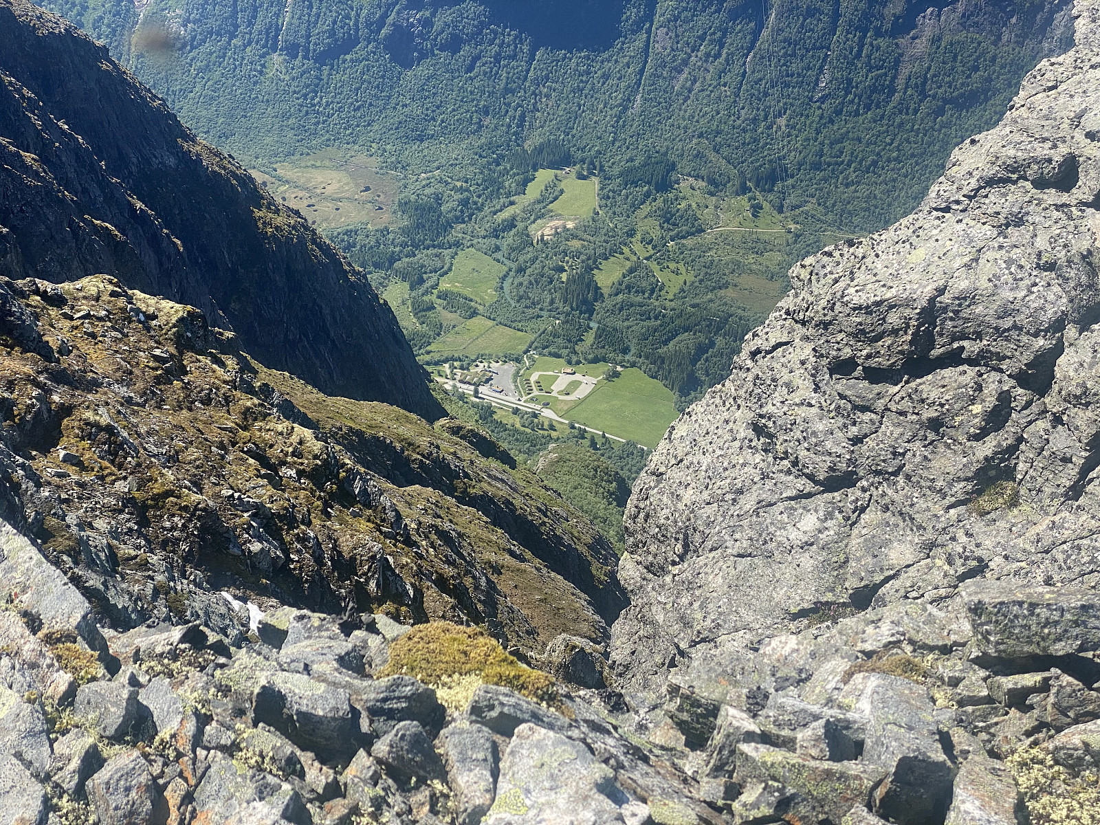 På denne tirdsagen besøkte jeg fjellryggen som flankerer vestsida av Adelsbreen i Rauma. Jeg har tidligere besøkt de tre toppene som ligger langs østsida av breen, dvs. Adelsfjellet, Middagsbarna og Nordre Trolltind; men nå var det altså Nonshaugen [1194 m.o.h.], Soggefjellet [1357 m.o.h.] og Setergjeltinden [1436 m.o.h.] som stod for tur. Jeg startet ved Soggemoen, og fulgte stien over Soggeberget opp til Orabotn, hvor jeg forlot stien, og la tvers gjennom skogen, krysset elva Oråa, og begynte å klatre oppover nordryggen på Nonshaugen (Bilder ## 1-4).
Jeg hadde nok spart en del tid ved å fortsette på stien opp til Norafjellet, og så krysse over til Nonshaugen derfra; men nordryggen på Nonshaugen er nokså bratt, og har har fint klatreterreng som jeg følte meg tiltrukket av, og >>>
På denne tirdsagen besøkte jeg fjellryggen som flankerer vestsida av Adelsbreen i Rauma. Jeg har tidligere besøkt de tre toppene som ligger langs østsida av breen, dvs. Adelsfjellet, Middagsbarna og Nordre Trolltind; men nå var det altså Nonshaugen [1194 m.o.h.], Soggefjellet [1357 m.o.h.] og Setergjeltinden [1436 m.o.h.] som stod for tur. Jeg startet ved Soggemoen, og fulgte stien over Soggeberget opp til Orabotn, hvor jeg forlot stien, og la tvers gjennom skogen, krysset elva Oråa, og begynte å klatre oppover nordryggen på Nonshaugen (Bilder ## 1-4).
Jeg hadde nok spart en del tid ved å fortsette på stien opp til Norafjellet, og så krysse over til Nonshaugen derfra; men nordryggen på Nonshaugen er nokså bratt, og har har fint klatreterreng som jeg følte meg tiltrukket av, og >>>
To Mount Saudehornet in Ørsta Municipality
- Fecha:
- 14.11.2020
- Tipo de excursión:
- Excurción alpino
- Duración:
- 4:20h
- Distancia:
- 10.4km
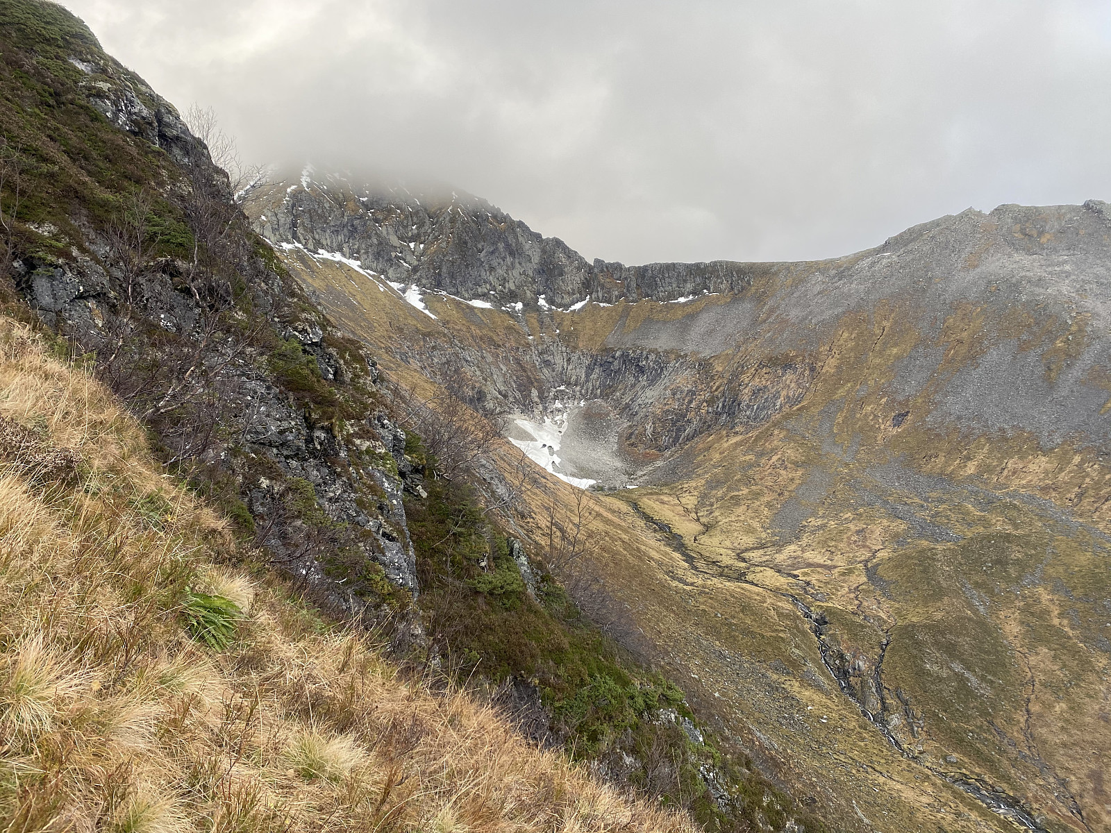 It had been snowing in the mountains lately, and so for this days mountain trek, we had been trying to pick a mountain not too high; in order to stay below the snow. And, as my son Dag had lately read a tour description about a mountain called Kyrkjetinden [i.e. "The Church Peak"] in Ørsta municipality in the County of Møre & Romsdal, we decided to go there. Kyrkjetinden is a peak located just about 6 kilometers or so from the town center of Ørsta, and it has an elevation of 1069 m.a.m.s.l.; and was thus located well beneath the altitude down to which the snow reached at this time.
We drove to Ørsta, and parked at a little parking lot by a road called Fonnavegen, just by a training ground for dogs, which is located between this road and a little river located just there. There >>>
It had been snowing in the mountains lately, and so for this days mountain trek, we had been trying to pick a mountain not too high; in order to stay below the snow. And, as my son Dag had lately read a tour description about a mountain called Kyrkjetinden [i.e. "The Church Peak"] in Ørsta municipality in the County of Møre & Romsdal, we decided to go there. Kyrkjetinden is a peak located just about 6 kilometers or so from the town center of Ørsta, and it has an elevation of 1069 m.a.m.s.l.; and was thus located well beneath the altitude down to which the snow reached at this time.
We drove to Ørsta, and parked at a little parking lot by a road called Fonnavegen, just by a training ground for dogs, which is located between this road and a little river located just there. There >>>
To Mount Breitinden and Mount Mannen with my Son
- Fecha:
- 10.10.2020
- Tipo de excursión:
- Excurción alpino
- Duración:
- 7:04h
- Distancia:
- 16.1km
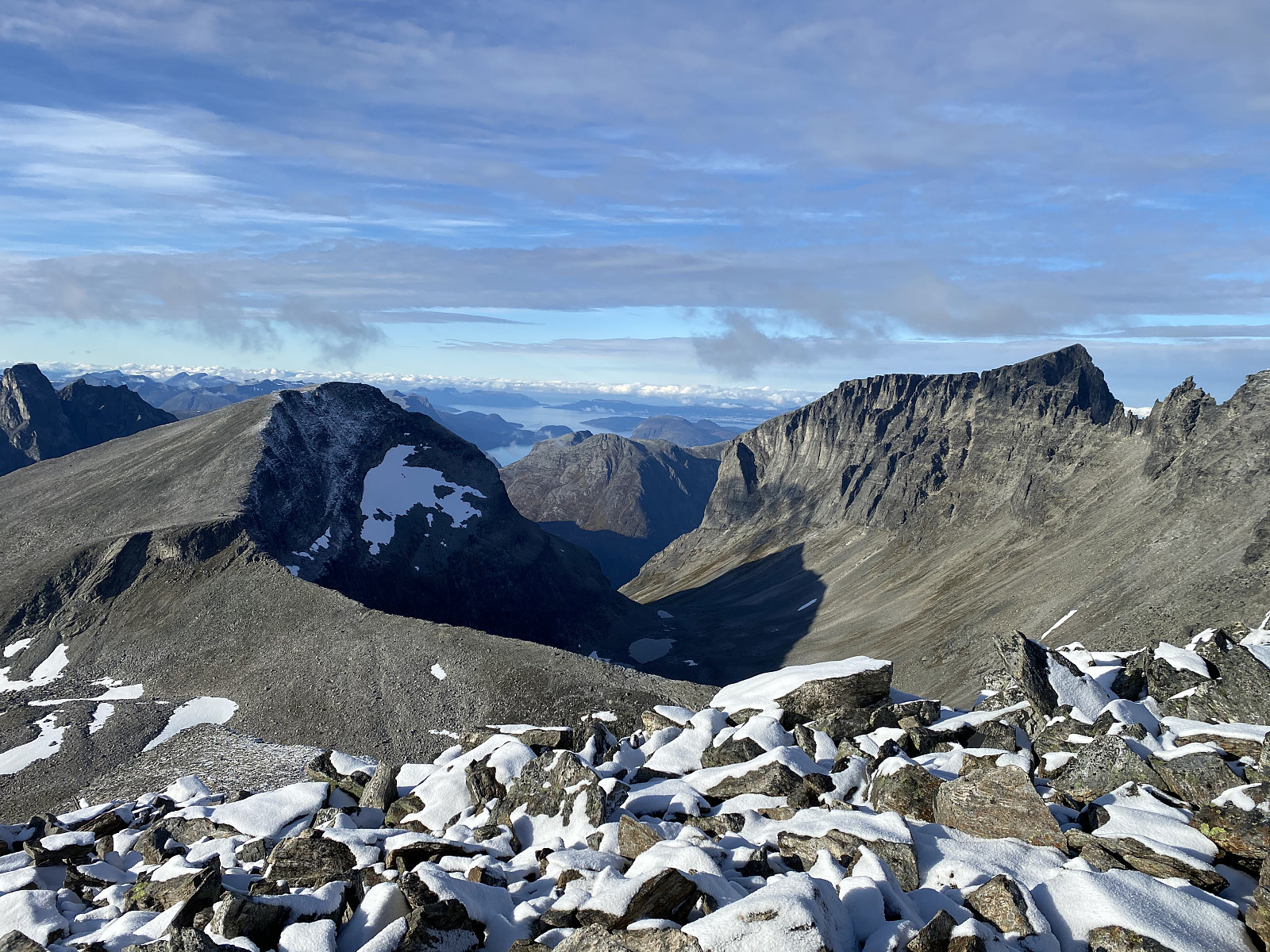 We did set out for the Mountain called Breitinden [i.e. "The Broad Peak"] one week prior to this trip, but we never reached it on that day, mainly because we had limited time available; so on this day we decided to make a new attempt. Moreover, in order not to fail a second time, we opted for a more regular route this time; and so we set out from the Trollstigen Tourist Center, into the valley called Stigebotnen (see map). From this valley we climbed onto the mountain ridge that interconnects Mount Storgrovfjellet and Mount Breitinden, and thereafter we followed that ridge up to the top of Mount Breitinden.
As you're coming up on the edge of this mountain ridge, you get a very good view of the peaks that the locals call the Troll Peaks [Norwegian: "Trolltindan"] i.e. the >>>
We did set out for the Mountain called Breitinden [i.e. "The Broad Peak"] one week prior to this trip, but we never reached it on that day, mainly because we had limited time available; so on this day we decided to make a new attempt. Moreover, in order not to fail a second time, we opted for a more regular route this time; and so we set out from the Trollstigen Tourist Center, into the valley called Stigebotnen (see map). From this valley we climbed onto the mountain ridge that interconnects Mount Storgrovfjellet and Mount Breitinden, and thereafter we followed that ridge up to the top of Mount Breitinden.
As you're coming up on the edge of this mountain ridge, you get a very good view of the peaks that the locals call the Troll Peaks [Norwegian: "Trolltindan"] i.e. the >>>
Visiting Mount Nordre Trolltind with my Son
- Fecha:
- 19.09.2020
- Tipo de excursión:
- Excurción alpino
- Duración:
- 7:00h
- Distancia:
- 13.1km
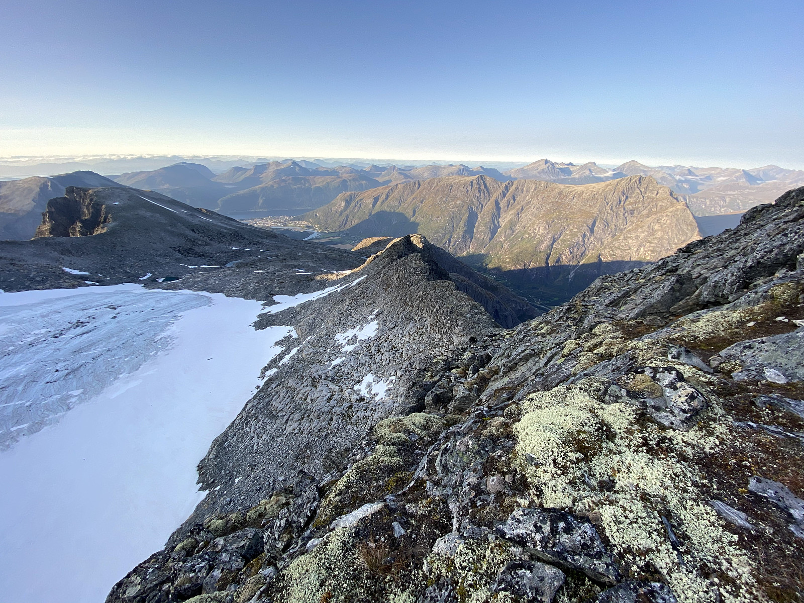 I had previously visited Mount Nordre Trolltinden [1452 m.a.m.s.l.] once, in order to familiarize myself with this peak, and with a few other peaks around it; including Mount Store Trolltind [1788 m.a.m.s.l.]. A dream of mine is to one day join a team of climbers in an ascent from Mount Nordre Trolltinden [i.e. "Northern Troll Peak] to Mount Store Trolltinden [i.e. "Greater Troll Peak"], as these two peaks are interconnected by a ridge that may be climbed if you’re using ropes, and have the appropriate security equipment. [For a tour description of my previous climb to Mount Nordre Trolltinden, see Reconnaissance Hike to Mount Nordre Trolltind ]
On this day, my son Dag asked me to join him for a climb to Mount Nordre Trolltinden, as he had never been there. The weather forecast for the day was excellent, and so I decided >>>
I had previously visited Mount Nordre Trolltinden [1452 m.a.m.s.l.] once, in order to familiarize myself with this peak, and with a few other peaks around it; including Mount Store Trolltind [1788 m.a.m.s.l.]. A dream of mine is to one day join a team of climbers in an ascent from Mount Nordre Trolltinden [i.e. "Northern Troll Peak] to Mount Store Trolltinden [i.e. "Greater Troll Peak"], as these two peaks are interconnected by a ridge that may be climbed if you’re using ropes, and have the appropriate security equipment. [For a tour description of my previous climb to Mount Nordre Trolltinden, see Reconnaissance Hike to Mount Nordre Trolltind ]
On this day, my son Dag asked me to join him for a climb to Mount Nordre Trolltinden, as he had never been there. The weather forecast for the day was excellent, and so I decided >>>
Reconnaissance Hike to Mount Nordre Trolltind
- Fecha:
- 15.08.2020
- Tipo de excursión:
- Excurción alpino
- Duración:
- 6:15h
- Distancia:
- 12.8km
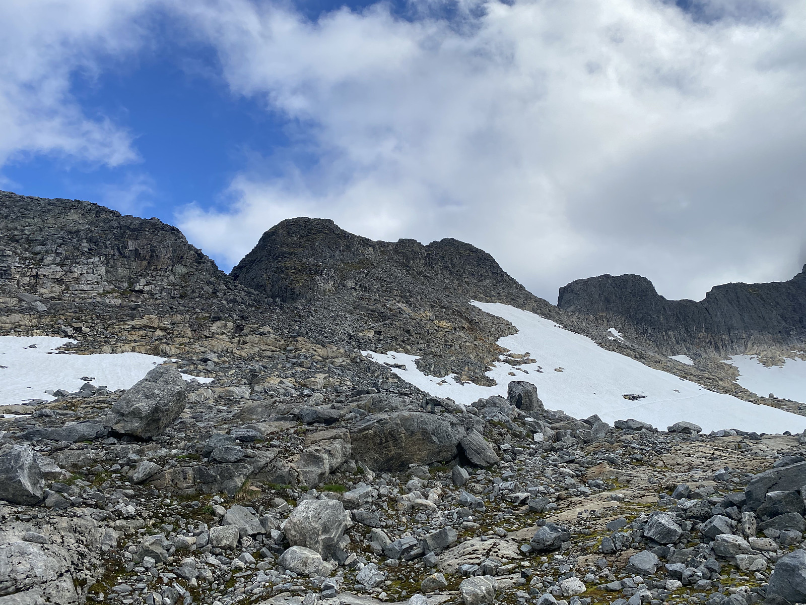 I've read somewhere here on Peakbook, about various groups of people that have climbed from Mount Nordre Trolltind [i.e. Northern Troll Peak] up to Mount Store Trolltind [i.e. Greater Troll Peak]. The two peaks are interconnected with a very steep ridge, and all those that have done the climb; or at least all those that I have read about, have used advanced climbing gear including ropes. I would indeed like to do that climb as part of a climbing team at some time in the future, and so on this day I decided to climb Mount Nordre Trolltind just as a reconnaissance climb/hike; in order to learn more about the two mountains. I did not bring any climbing gear with me on this trip, however, as I wasn't going to climb beyond Mount Nordre Trolltind; but I had with me a pair of binoculars, so as to >>>
Trekking an Extreme Variant of Romsdalseggen Mountain Ridge
- Fecha:
- 18.07.2020
- Tipo de excursión:
- Excurción alpino
- Duración:
- 6:47h
- Distancia:
- 16.9km
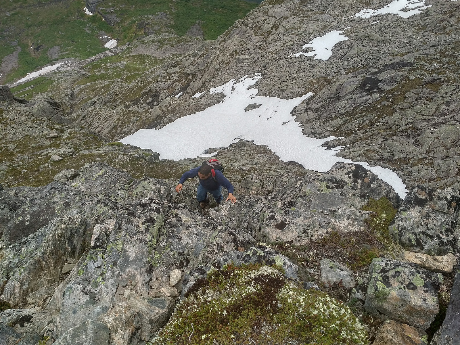 I have previously trekked the mountain range called Romsdalseggen with my oldest son and a nephew of me. A link to my tour description of that hike is here: Blånebba og Romsdalseggen The text in that tour description is in Norwegian, but there are some pictures there, that will do even for an international audience. There have, however, been described three different routes called Romsdalseggen by the local tour operators in the Rauma Municipality: There's what they call Romsdalseggen Light . Then there's Romsdalseggen Regular . And finally, there's what has been referred to as Romsdalseggen Extreme .
The regular route follows the blue GPS-track on the map of Image#5, and is even the one described in my above mentioned tour description of July 14th 2018. The light route follows the regular route from the parking lot at >>>
I have previously trekked the mountain range called Romsdalseggen with my oldest son and a nephew of me. A link to my tour description of that hike is here: Blånebba og Romsdalseggen The text in that tour description is in Norwegian, but there are some pictures there, that will do even for an international audience. There have, however, been described three different routes called Romsdalseggen by the local tour operators in the Rauma Municipality: There's what they call Romsdalseggen Light . Then there's Romsdalseggen Regular . And finally, there's what has been referred to as Romsdalseggen Extreme .
The regular route follows the blue GPS-track on the map of Image#5, and is even the one described in my above mentioned tour description of July 14th 2018. The light route follows the regular route from the parking lot at >>>
Ascending Mount Setnesfjellet with my Son
- Fecha:
- 04.07.2020
- Tipo de excursión:
- Excurción alpino
- Duración:
- 6:28h
- Distancia:
- 8.6km
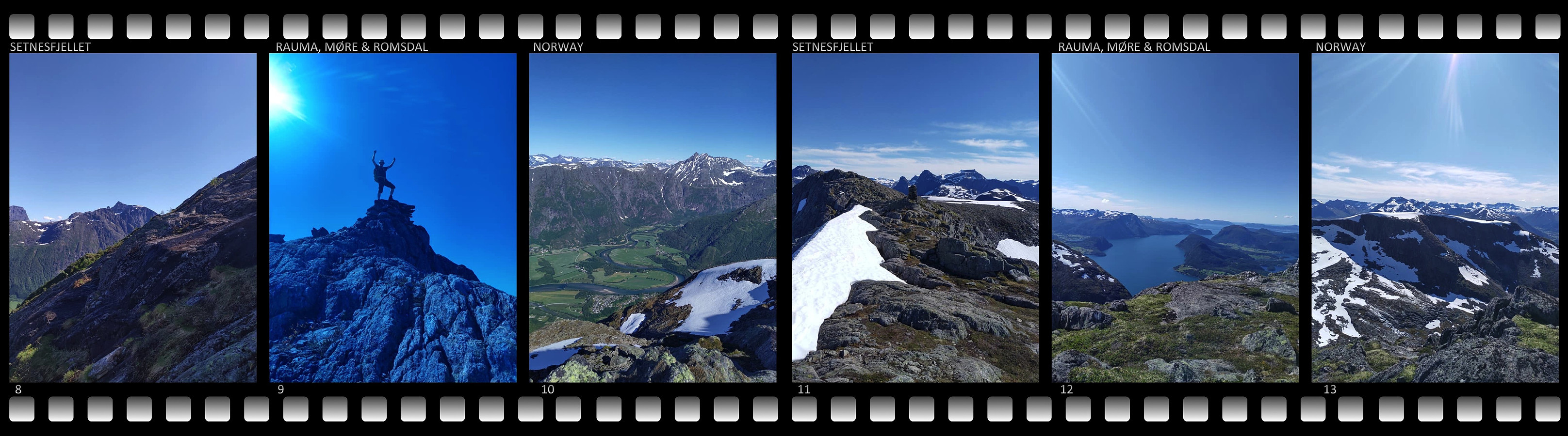 This morning, my son asked med if I would like to join him for a hike to the summit of Mount Setnesfjellet. He had been planning this climb for a few days, and had searched out some tour descriptions on the internet; and so he knew exactly where to park the car, and where to start hiking. So, after breakfast, we drove to the town of Åndalsnes in Rauma Municipality in the county of Möre & Romsdal. The drive to Åndalsnes takes a little less than two hours from where we live, and it is surrounded by a multitude of spectacular peaks and mountains; and the local tourist business association have nicknamed the town The Peak Capital [Norw.: Tindehovedstaden] , in order to draw more climbers and hikers to the area.
We parked the car by a local Church called Grytten Kirke, and started walking from >>>
This morning, my son asked med if I would like to join him for a hike to the summit of Mount Setnesfjellet. He had been planning this climb for a few days, and had searched out some tour descriptions on the internet; and so he knew exactly where to park the car, and where to start hiking. So, after breakfast, we drove to the town of Åndalsnes in Rauma Municipality in the county of Möre & Romsdal. The drive to Åndalsnes takes a little less than two hours from where we live, and it is surrounded by a multitude of spectacular peaks and mountains; and the local tourist business association have nicknamed the town The Peak Capital [Norw.: Tindehovedstaden] , in order to draw more climbers and hikers to the area.
We parked the car by a local Church called Grytten Kirke, and started walking from >>>


