Archive - Date
Archive - Activity
- Bike trip (2)
-
Climbing (8)
- Alpine climbing (7)
- Mixed climbing (1)
-
Other trip (1)
- Expedition (1)
-
Other winter trip (10)
- Snowshoe trip (10)
-
Ski trip (49)
- Randonnée/Telemark (49)
-
Trip by foot (240)
- Alpine trip (65)
- Hike (70)
- Hillwalk (92)
- Jogging (11)


Collected lists
-
Romsdal ≥ 100m pf.
(137/301)
 45%
-
Sunnmøre ≥ 100m pf.
(82/531)
15%
-
Norges 1000 største fjell målt i primærfaktor
(56/1000)
5%


Halvmarathon på Emblemsfjellet i Ålesund
- Datum:
- 17.07.2020
- Characteristic:
- Jogging
- Délka túry:
- 4:40h
- Vzdálenost:
- 22.7km
 For dem av oss som ikke bare går turer i fjellet, men også driver og løper litt, så går det an å plukke med seg noen ikke altfor høye topper når man likevel er på løpetur. Jeg har de siste syv årene ukependlet mellom Bergen og Ålesund, og pleier hver å få meg en løpetur over Rundemanen i løpet av arbeidsuka i Bergen; mens jeg i løpet av helga hjemme pleier å ta meg en fjelltur enten på Sunnmøre eller i Romsdalen. Når så sommeren kommer, pleier jeg å ta meg noen løpeturer om morgenen de stedene vi reiser på ferie, og jeg har funnet ut at det er en glimrende måte å bli kjent med geografien og omgivelsene på nye steder. Denne sommeren ble det imidlertid, på grunn av Covid-19-pandemien, ikke noen feriereise på oss; og de ukene vi skulle ha vært i Canada, ble hjemme >>>

Ascending Mount Setnesfjellet with my Son
- Datum:
- 04.07.2020
- Characteristic:
- Alpine trip
- Délka túry:
- 6:28h
- Vzdálenost:
- 8.6km
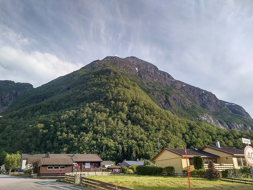 This morning, my son asked med if I would like to join him for a hike to the summit of Mount Setnesfjellet. He had been planning this climb for a few days, and had searched out some tour descriptions on the internet; and so he knew exactly where to park the car, and where to start hiking. So, after breakfast, we drove to the town of Åndalsnes in Rauma Municipality in the county of Möre & Romsdal. The drive to Åndalsnes takes a little less than two hours from where we live, and it is surrounded by a multitude of spectacular peaks and mountains; and the local tourist business association have nicknamed the town The Peak Capital [Norw.: Tindehovedstaden] , in order to draw more climbers and hikers to the area.
We parked the car by a local Church called Grytten Kirke, and started walking from >>>
Climbing Mount Ulriken in Bergen from the Rear Side
- Datum:
- 23.04.2020
- Characteristic:
- Alpine trip
- Délka túry:
- 3:23h
- Vzdálenost:
- 9.9km
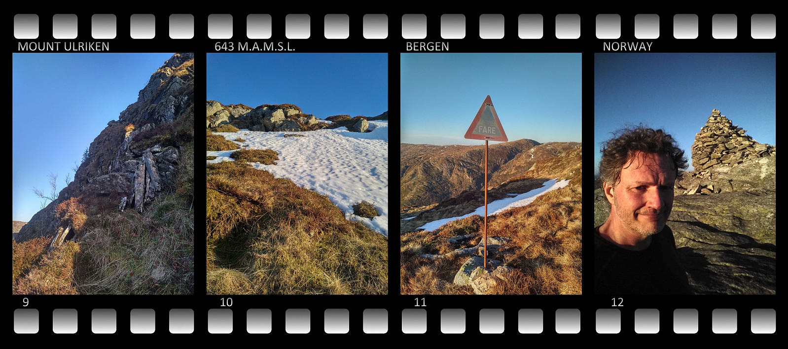 I do not know how many times I’ve climbed Mount Ulriken in the city of Bergen. There are three commonly used trails up to the top of this mountain, one with very nice stone stairs; and then there are 4 or 5 less commonly used trails. On this occasion, however, I had decided to climb the mountain from the rear side, where there’s no trail along which you may hike. Due to the Covid19 pandemic, all indoor facilities for climbing and bouldering have been closed for the last 6 weeks or so; and as the outdoor climbing season is quickly approaching, I wanted to do some practising on a not too difficult mountain, so it won’t be too exhausting for my arms when I embark on some really high and steep mountains.
I trekked around the northern side of a lake that in ancient times was called Alrekstadvatnet,
Running Across Mount Rundemanen and Mount Blåmanen
- Datum:
- 22.04.2020
- Characteristic:
- Jogging
- Délka túry:
- 2:06h
- Vzdálenost:
- 14.1km
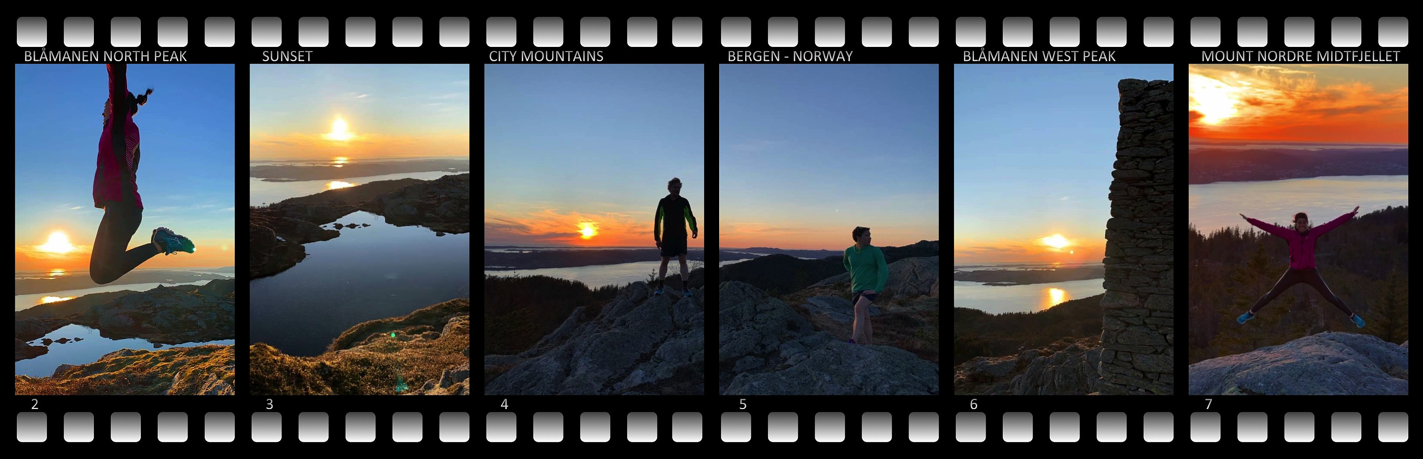 I have frequently been jogging/running across Mount Rundemanen in Bergen. For the last two years I've actually done that at least once a week whenever I've been in Bergen. For the most part I've been doing this run by myself, but on this occasion I went running with two colleagues of mine. They had both been jogging on this mountain before, but they weren't as familiar with the many paths and trails as I have become during the 7 years that I've been working in Bergen. After we had made it up the valley Våkendalen to the top of Mount Rundemanen, I therefore asked the two of them if they had ever been to the summits of the neighboring Mount Blåmanen; and since neither of them had, we took of from the mountain road descending from Mount Rundemanen along the west side of Mount Blåmanen, and >>>
Hiking to Mount Geitnausa with my daughter
- Datum:
- 01.02.2020
- Characteristic:
- Hike
- Délka túry:
- 2:21h
- Vzdálenost:
- 8.1km
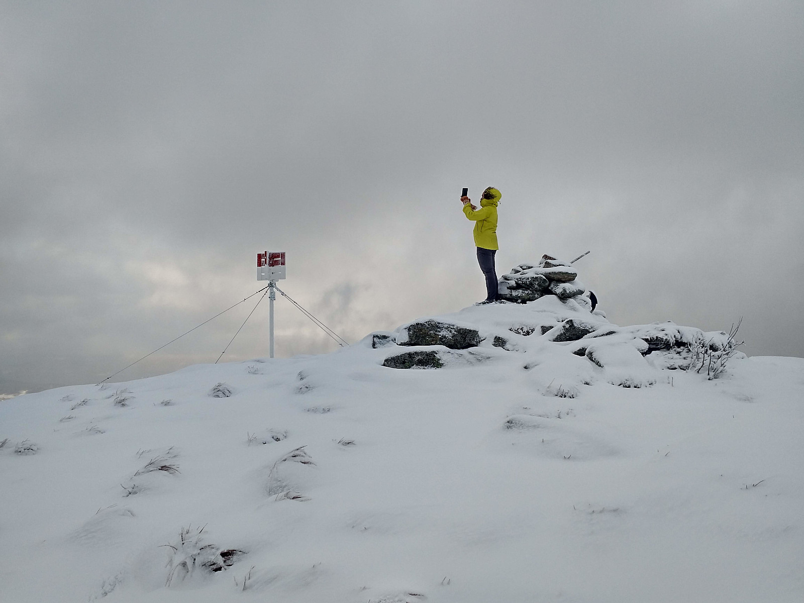 The town of Ålesund is located on four islands in the county of Møre & Romsdal, beautifully, in between fjords and mountains. One of the four islands, the one called Uksenøya, has a mountain ridge generally referred to as Emblemsfjellet [i.e. the Emblem mountain, after a village called Emblem on the south side of the mountain. This mountain actually have a number of peaks, i.e. Høgkubben, Geitnausa, Vasstrandegga and Merafta .
Now, I've actually been to all of these summits, but the advantage of this mountain is that it is close to the town, and it's easy to get there whenever you want to. So, we drove to a place called Myrdalen, in the part of the town that is called Spjelkavika; and then we set out from there, aiming for the peak called Geitnausa. There actually is a nice forest road >>>
To Mount Vasstrandegga in Rainy Weather
- Datum:
- 11.01.2020
- Characteristic:
- Hike
- Délka túry:
- 3:45h
- Vzdálenost:
- 13.7km
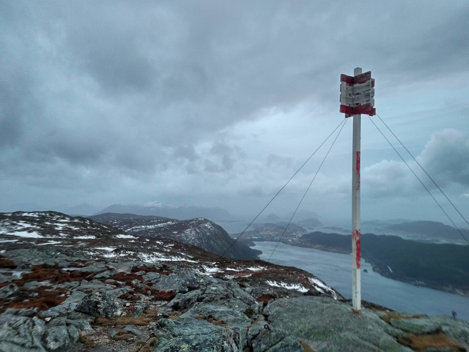 We had a hike to the mountain called Vasstrandegga on this day, my son and I. We started out from a parking lot in a hollow called Sirigrova . This parking lot is mainly used by trekkers intending to ascend one of the nearby mountains, hence it wasn't the first time we parked there. There's a little mountain road winding its way through the valley Østremsdalen up to a cluster of cottages called Østremssætra , once used for caretakers of domestic animals (mainly sheep) when they were grazing in the mountains during summer. We followed the road up to Østremssætra, then took left along a tiny forest path, which we followed upwards into the mountains. We lost the trail at some point during our climb, due to some slight amount of snow here and there, but it didn't really matter much, as we had >>>
Another Hike to Mount Gamlemsveten
- Datum:
- 04.01.2020
- Characteristic:
- Hike
- Délka túry:
- 2:42h
- Vzdálenost:
- 9.4km
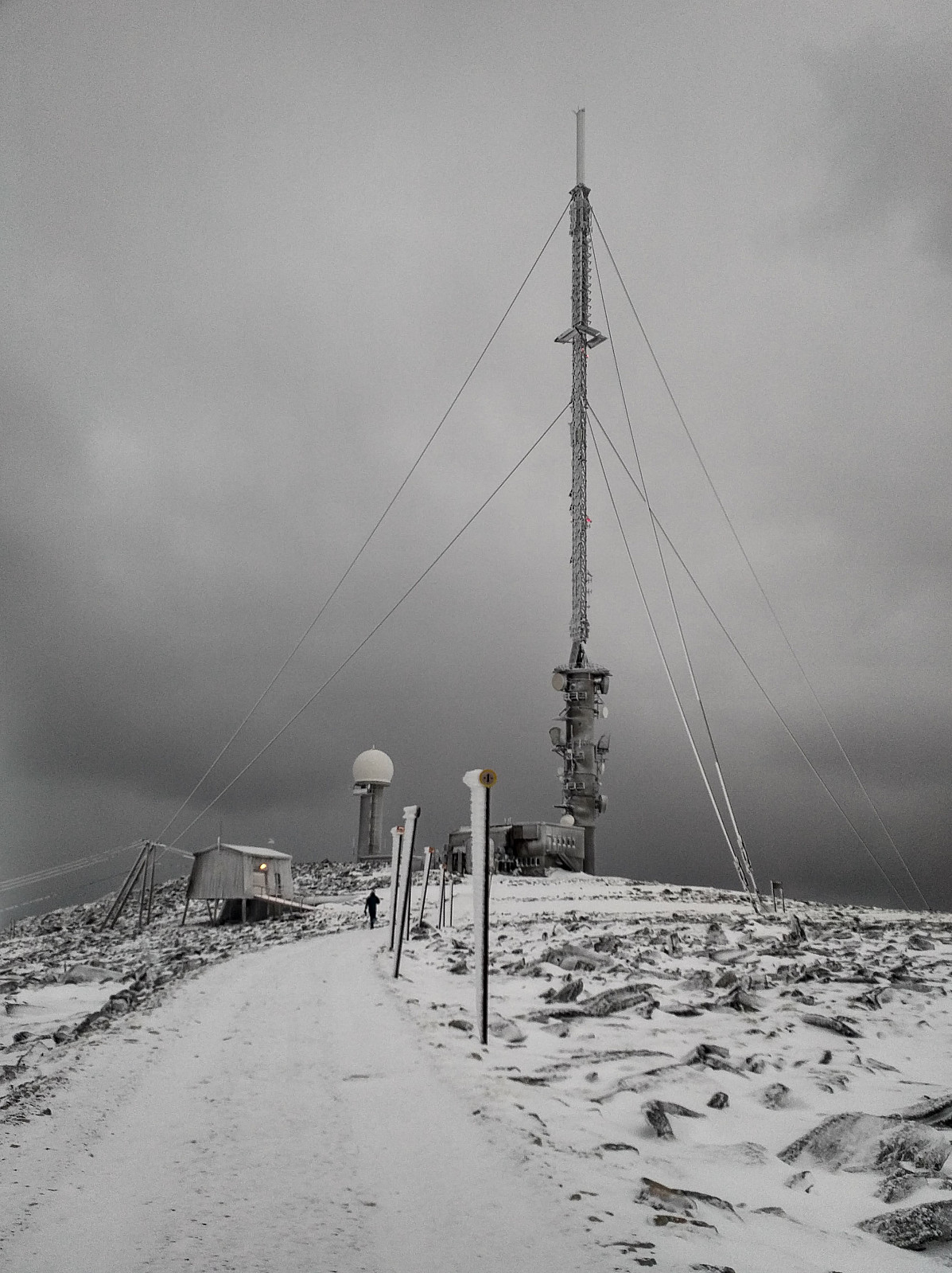 In winter time, whenever snow is to scarce for mountain skiing, and yet too abundant for an ordinary mountain hike on foot; then Mount Gamlemsveten is a very good option. There has been built a huge TV broadcasting antenna at the very summit, and there are even some other telecommunication installations up there as well. A construction road was once built up to the summit for the purpose of bringing material like plank, concrete and iron up there when the TV antenna was built; hence even when there's quite some snow, the ground beneath is pretty even, and not as stony as it usually is in mountains like this. On the other hand, the road up there is usually not plowed, and cars are not allowed apart from those that take part in maintenance work on the installations up there; hence you are very >>>
Icy Hike to the Peaks Litlehornet and Uggedalshornet
- Datum:
- 28.12.2019
- Characteristic:
- Hike
- Délka túry:
- 1:49h
- Vzdálenost:
- 5.5km
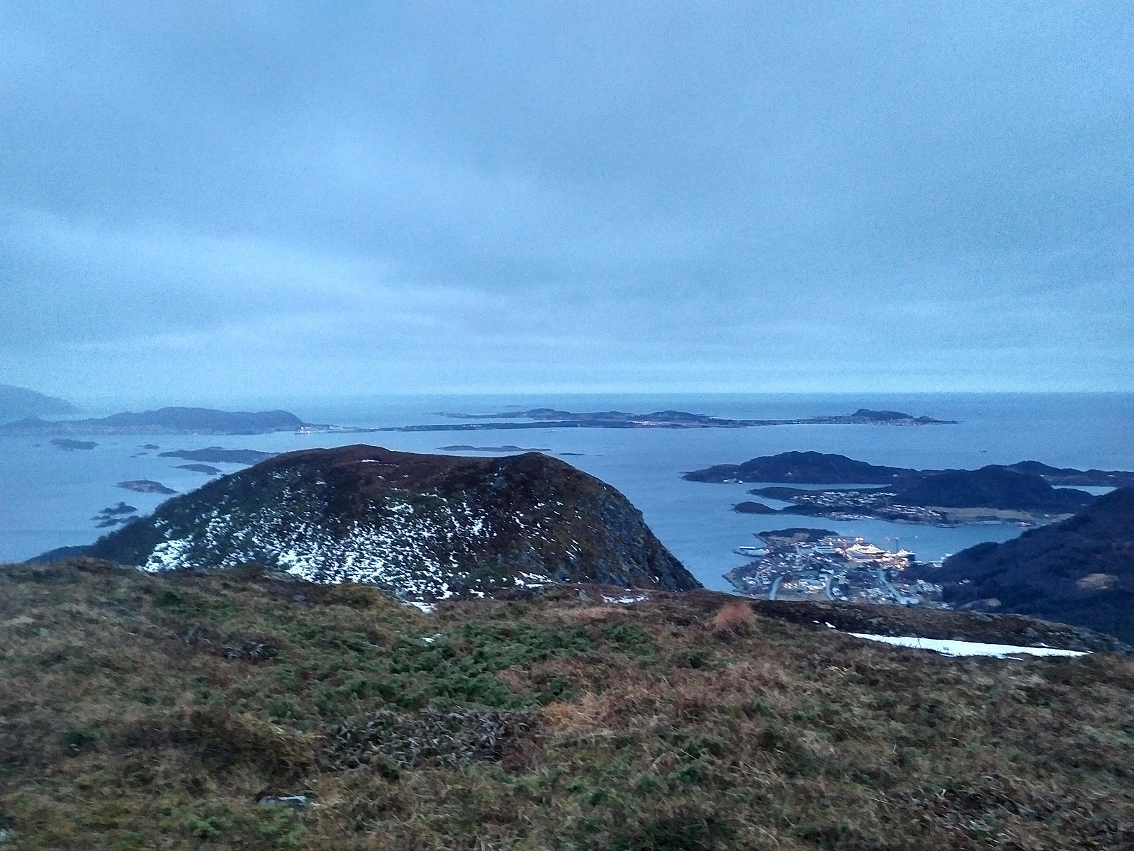 We have ascended Mount Gamlemsveten multiple times, my son and I but there have been a number of smaller mountains around Gamlemsveten that we haven't climbed yet; or at least I haven't, as my son have climbed a lot of mountains that I have yet to climb. So, we decided on this day to climb some of the nearby less-than-500-meters mountains, and took my son's car to the usual parking lot in Søvikdalen valley. The initial part of the route was the same as when we climbed Mount Storehornet and Mount Skålbotsheia 3 weeks earlier; i.e. you pass by a shooting range located about 800 meters from the parking lot, and then climb up from the innermost "bottom" of the valley, into a hanging valley called Engsetskaret and located at an elevation about 200 meters above the main valley [i.e. about >>>
Winter Hike to Mount Tverrfjellet on Sula Island
- Datum:
- 21.12.2019
- Characteristic:
- Hike
- Délka túry:
- 3:18h
- Vzdálenost:
- 11.7km
 It was only 3 weeks since last time I ascended Mount Sulafjellet with my son, and yet we decided to go there again, as we regard this trip as a good workout. My youngest daughter vaarsolholm (Vår Solholm) also came along with us on this occasion. As previously, we walked the forest road up to Rollonhytta Cabin, and from there we just followed the mountain path that continues up to the summit of the mountain. Snow was less abundant now, compared to what it was three weeks ago; hence the cairns that mark the trail were easy to spot, and it was, therefore, much easier to follow the trail up to the summit of the mountain. We just shot a few pictures while at the top of the mountain, and then went back down to our car at Mauseid parking lot.
To Mount Gamlemsveten in Not So Much Snow
- Datum:
- 14.12.2019
- Characteristic:
- Hike
- Délka túry:
- 2:21h
- Vzdálenost:
- 9.0km
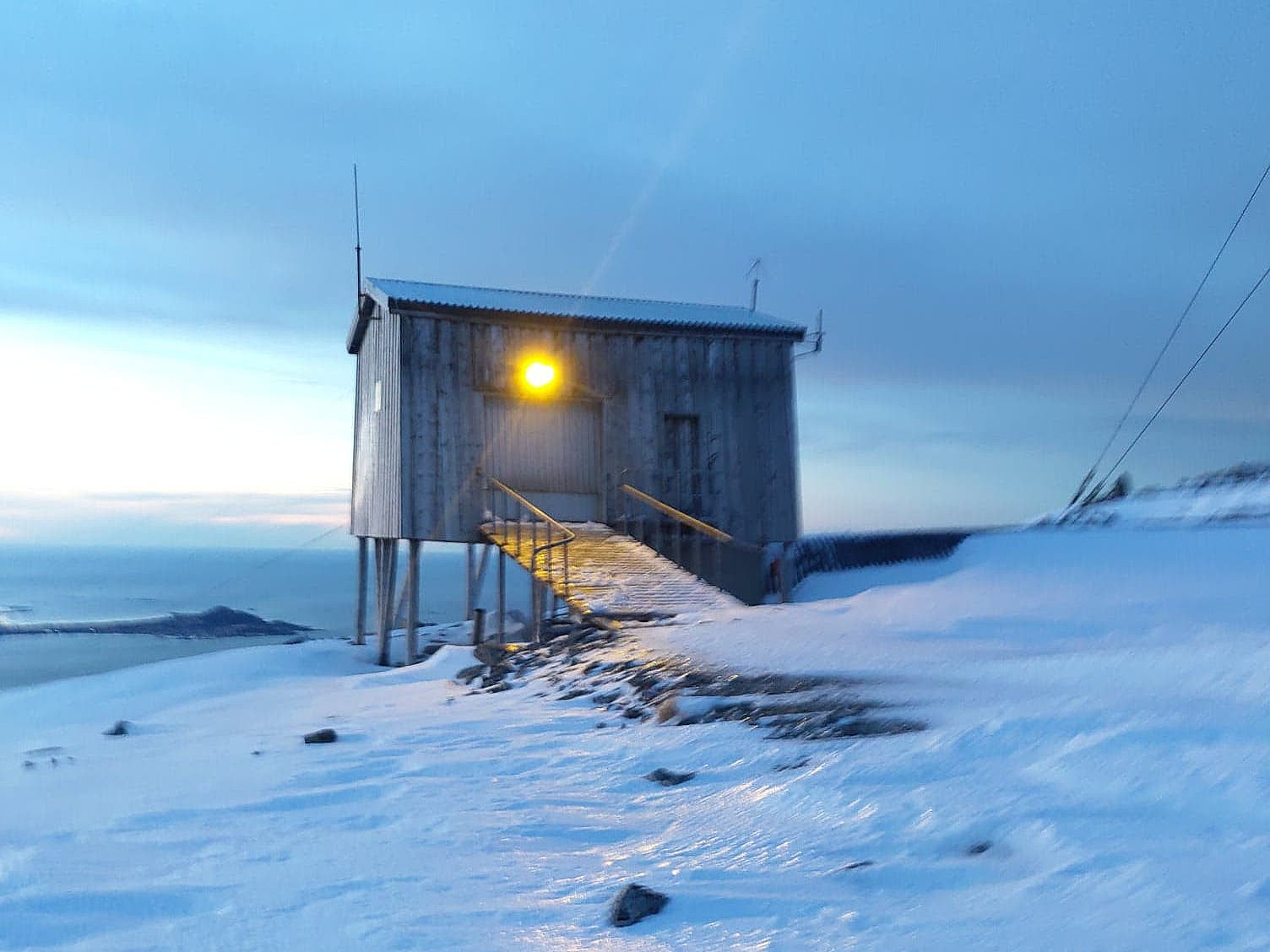 The amount of snow along the Norwegian west coast is varying quite much throughout the winter, as well as from one winter to another. Typically, low pressure weather systems that come in from the northwest bring snow, whereas those coming in from the southwest bring rain; and so the snow may come and go as the whether changes. On this day, therefore there was some snow in the mountains along the coast, but not very much.
We've climbed Mount Gamlemsveten many times, my son Dag and I, so this is a very familiar mountain to us; especially to Dag, as he has climbed it many more times than what I have done. I did, however, once even climb it on a 29" Gary Fisher bicycle; something he hasn't done; hence I tend to claim it's a little bit my mountain too... We drove to the usual parking lot in >>>


