Arkiv - dato
Arkiv - aktivitet
-
Annen tur (1)
- Ekspedisjon (1)
-
Annen vintertur (10)
- Trugetur (10)
- Fottur (228)
-
Klatring (8)
- Alpin klatring (7)
- Miksklatring (1)
-
Skitur (49)
- Randonnée/Telemark (49)
-
Sykkeltur (2)
- Terrengsykling (1)


Lister jeg samler etter
-
Romsdal ≥ 100m pf.
(134/301)
 44%
44% -
Sunnmøre ≥ 100m pf.
(78/531)
14%
-
Norges 1000 største fjell målt i primærfaktor
(52/1000)
5%

Randonnee-tur til Gravfjellet
- Dato:
- 28.12.2022
- Turtype:
- Randonnée/Telemark
- Turlengde:
- 6:41t
- Distanse:
- 18,0km
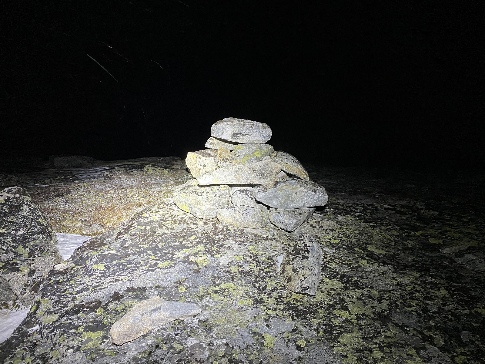 Denne onsdagen fant jeg ut at jeg ville prøve meg på en tur opp på Gravfjellet. Jeg kjørte hjemmefra mot Åndalsnes i 9-tiden, og fortsatte fra Åndalsnes via Isfjorden og opp til Skorgedalen, hvor jeg fulgte bomvegen opp til Rauma Skisenter, hvor det er godt med parkeringsplasser. Der spente jeg på meg skiene, og la av sted.
Det største problemet med Gravfjellet, er at transportetappen fra Rauma Skisenter og bort til foten av fjellet er hele 6 km. I tillegg klarte jeg å gjøre den tabben at jeg havnet på feil side av Ljøsådalen og elva Ljøsåa. Jeg har tidligere vært på Smørbotstinden flere ganger, og uten å ha tenkt så nøye gjennom det, så jeg for meg at det bare var å forlate traséen til Smørbottinden litt etter at man er kommet ut av Fuglehaugen hyttefelt, og så begi >>>
Denne onsdagen fant jeg ut at jeg ville prøve meg på en tur opp på Gravfjellet. Jeg kjørte hjemmefra mot Åndalsnes i 9-tiden, og fortsatte fra Åndalsnes via Isfjorden og opp til Skorgedalen, hvor jeg fulgte bomvegen opp til Rauma Skisenter, hvor det er godt med parkeringsplasser. Der spente jeg på meg skiene, og la av sted.
Det største problemet med Gravfjellet, er at transportetappen fra Rauma Skisenter og bort til foten av fjellet er hele 6 km. I tillegg klarte jeg å gjøre den tabben at jeg havnet på feil side av Ljøsådalen og elva Ljøsåa. Jeg har tidligere vært på Smørbotstinden flere ganger, og uten å ha tenkt så nøye gjennom det, så jeg for meg at det bare var å forlate traséen til Smørbottinden litt etter at man er kommet ut av Fuglehaugen hyttefelt, og så begi >>>
A Day-Trip to the Summit of Mount Hanang
- Dato:
- 04.12.2022
- Turtype:
- Fjelltur
- Turlengde:
- 7:05t
- Distanse:
- 16,7km
 We met with Samwel Magabe, our local Hanang guide at a pavement cafeteria in Babati, a town located just about 60 kms from Mount Hanang. Babati is the capital and the administrative centre of the Manyara Region in Tanzania; and has a lot of shops and other facilities, though the spot was merely a village 40 years ago, and has been developing quite rapidly since then. My friend and tour operator Frank, with whom I had booked this hike, had been in touch with Samwel in advance of our journey, and they had then agreed to meet at this location. When talking with Frank, Samwel had insisted that an ascent of Hanang is a two day hike, and that you have to spend one night at a camp site high up on the mountain ridge leading to the summit. Frank had, however, refused, and insisted that this particular >>>
Hiking to the Eyasi Viewpoint on Mount Oldeani
- Dato:
- 02.12.2022
- Turtype:
- Fottur
- Turlengde:
- 1:25t
- Distanse:
- 5,8km
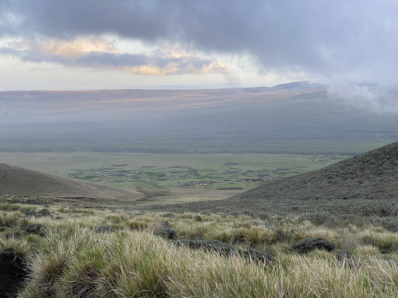
 After our hike to Mount Loolmalasin , Frank and I and our driver spent the night at a nice little lodge just outside of the Ngorongoro Conservation Area, but the very next morning we drove back into the very same conservation area, intending to climb Mount Oldeani [3206 m.a.m.s.l.]. Frank had been in contact with a ranger outpost just by the foot of the mountain, and we went there quite early, eager to meet the ranger that was going to come along with us on our hike. We were at the outpost shortly after seven o'clock, and there we met Elisha Goodluck . He jumped into the car with us, and then we started driving towards our start out point, according to his instructions. To begin with, the road made sense, as it brought us gradually closer to Oldeani, which we had actually had in sight most of >>>
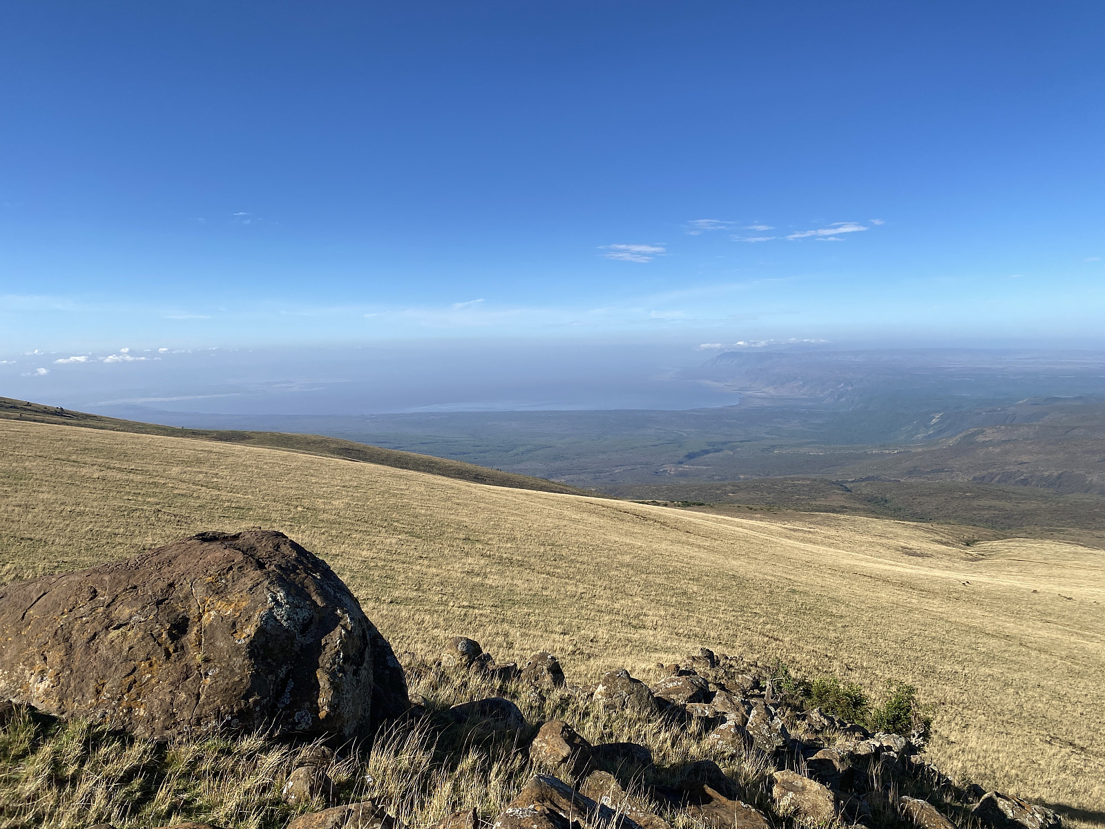
Visiting Mount Loolmalasin and the Ngorongoro crater
- Dato:
- 01.12.2022
- Turtype:
- Fjelltur
- Turlengde:
- 5:44t
- Distanse:
- 12,8km
 After my ascent of Kilimanjaro, I still had almost 10 full days in Tanzania before I was heading back to Norway, and I therefore asked Frank, my friend and tour operator, about the possibility to ascend another 3 mountains (i.e. Loolmalasin, Oldeani and Hanang) before leaving for home. And so, he checked out with local guides and rangers about the possibility, and came back to me with a price fore the mentioned three mountains, a price that also included rental of a safari vehicle with a driver. (The reason I still had 10 days in Tanzania, was that that I had booked my flight back to Norway so that I had the opportunity to prolong my Kilimanjaro climb, in case I acquired sickness of some kind while up in the mountain, or in case I found out while up there, that I needed more days for altitude >>>
