Hiking to Jemo and Wochecha with two colleagues of mine (23.03.2025)

| Startpunkt | Burayu, Addis Abeba (2.466m) |
|---|---|
| Endpunkt | Burayu, Addis Abeba (2.468m) |
| Tourcharakter | Bergtour |
| Tourlänge | 6h 13min |
| Entfernung | 24,0km |
| Höhenmeter | 1.685m |
| GPS |
|
| Besteigungen | Jemo (2.927m) | 23.03.2025 |
|---|---|---|
| Wochecha Mountain (3.391m) | 23.03.2025 |
I have previously ascended the Wochecha mountain three times; two times alone, and one time along with a colleague of mine. For descriptions of my previous three ascents of this mountain, check out these links, where GPS tracks are also provided:
- My first ascent of Wochecha: 12 timers fottur fra Addis Ababa til Wochecha Mountain t/r (tour description in Norwegian, but the pictures are nice even if you don't speak Norwegian).
- My second ascent of Wochecha, where I also ascended Moglē Korebta: Climbing Mount Wochecha and encircling the old crater (tour description in English).
- My third ascent, where I was joined by a colleague that had been working along with me at the Black Lion Hospital in Addis Ababa: Hiking to Jemo and Wochecha with a colleague of mine (tour description in English).
Now I was visiting Addis Ababa once again, along with 25 other Norwegians health care workers, in connection with a heart surgery program that we've been part of. Sure, most of our colleagues wouldn't dare embark on such a hike as this, and most wouldn't be able to go quickly up and back down in just the same day; but I knew that there were two in addition to myself that were both capable and interested in making such a hike, and just as myself, they had planned to stay in Addis for a few additional days after most of our team had returned to Norway. And so, on this beautiful day, the three of us caught a cab to the outskirts of Addis, and started hiking from there.
![Image #3: View over Addis Ababa. The mountain in the background is Yarar [3102 m.a.m.s.l.].](https://images2.peakbook.org/images/14939/Solan_20250330_67e997ffe9841.jpeg?p=xtralarge)
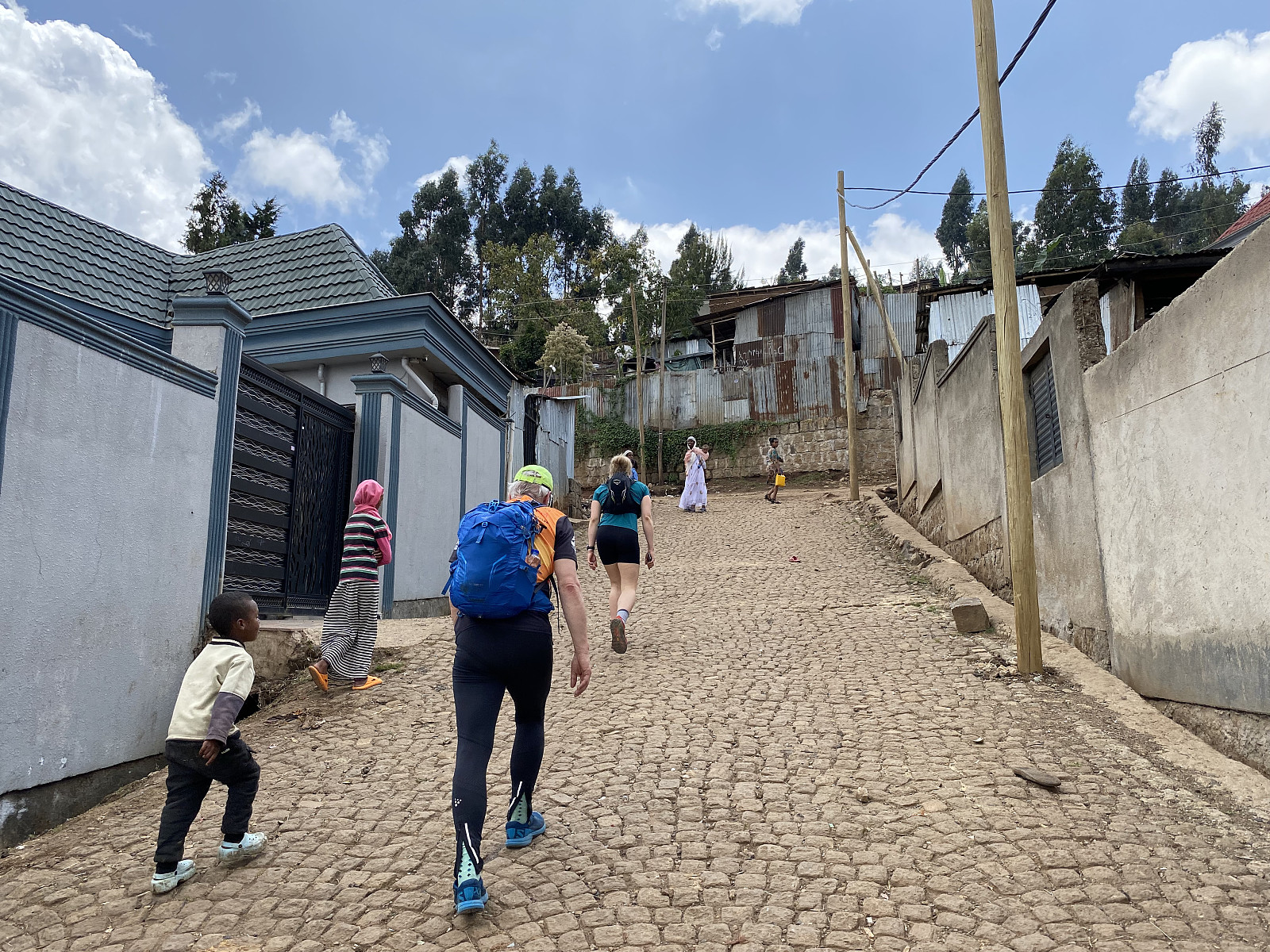
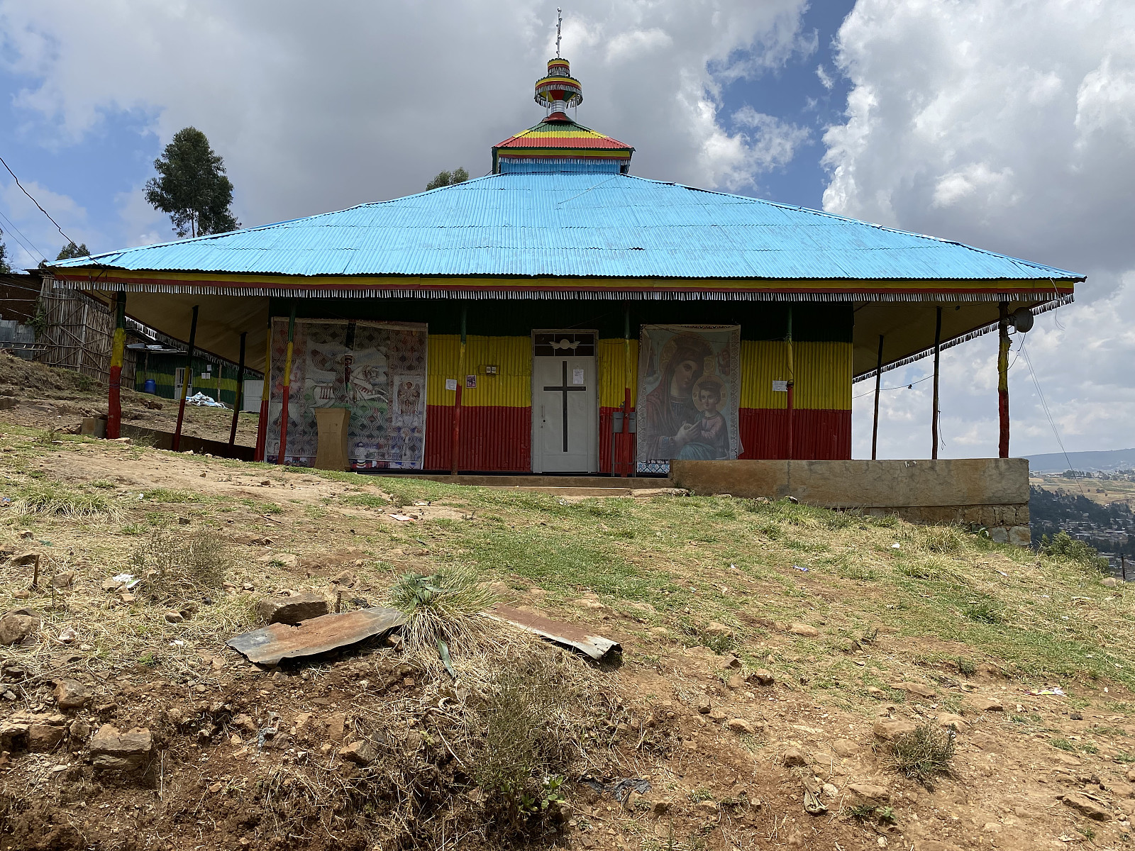
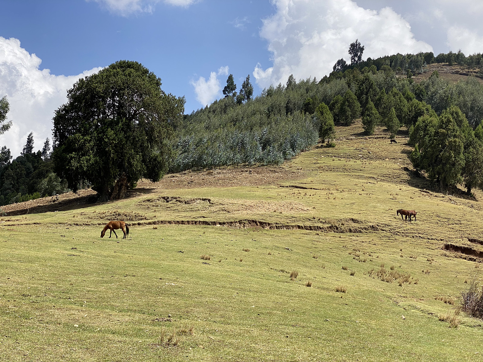
One of the colleagues that came along this time, was the very same guy that joined me for the same hike less than a year ago; while the other colleague was a young and extremely fit and sporty lady, that was in Ethiopia for the first time. Our route up the mountainside was virtually the same that I've been using every time that I've visited this mountain. The first part goes through a rather steep suburban area, where rich men's houses are interspersed in between more slum-like residential areas (image #1). After about 1 km's walk, we passed by an Ethiopian Orthodox Church up in the hillside (image #2), and a little bit later, we crossed the city border of Addis Abbaba; entering into Oromia (see map / GPS-tracking). As we pushed further upwards the mountainside, we left the residential/suburban areas behind; and entered an open landscape, that offered a very nice view of Addis Ababa (image #3).
![Image #4: The summit of Mount Jemo [2927 m.a.m.s.l.], with agricultural fields in the foreground.](https://images2.peakbook.org/images/14939/Solan_20250330_67e998eee9bdc.jpeg?p=xtralarge)
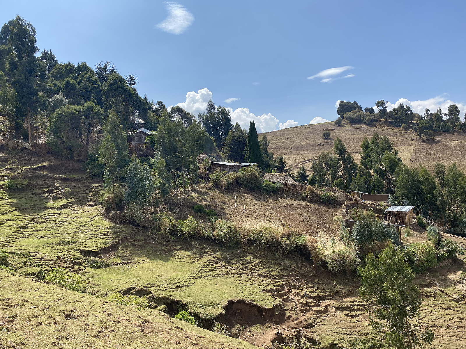
When ascending Wochecha along this route, you cross a mountain called Jemo [2927 m.a.m.s.l.], and then enter into a valley behind Jemo, before you embark upon Mount Wochecha itself. Now, as we approached the top of Mount Jemo, we left the main trail across this mountain, and followed a smaller trail to the left, in order to get to the summit proper of Jemo. The summit of Jemo is not more than about 300 metres from the main trail (see GPS tracking), but as you approach the summit, you have to criss-cross between some fields to get there. As we were approaching the mountain top, we realised there where between 50 and 100 people gathered there; in what seemed to be some kind of religious gathering. We exchanged a few words with a guy that seemed to be some kind of a leader of the group, and he explained to us that they were on a church excursion, to have a look at this particular property, that actually belonged to their church in Addis Ababa. We wished them a nice day, and a good journey back down to Addis, and then continued on our own hike into the valley between Jemo and Wochecha.
![Image #5: Mount Wochecha [3391 m.a.m.s.l.], as seen from Mount Jemo [2927 m.a.m.s.l.].](https://images2.peakbook.org/images/14939/Solan_20250330_67e9997fb3f9d.jpeg?p=xtralarge)
Our trail follows a ridge that connects Mount Jemo to Mount Wochecha, but you stil have to descend 158 meters of elevation from the summit of Jemo, before you can embark upon the climb up one of the mountain ridges that leads up to the top of Wochecha. As we approached the lowest point on our path between Jemo and Wochecha, the trail that we were following, reached a dirt road that connects the villages up here with the outskirts of Addis Ababa (se map). We followed the road for about 500 meters, then took to the left, and followed a side road through a village that was located there. After the village, the road quickly tapered down to just a trail again, which we followed ahead. We crossed over the first ridge that goes up towards the summit of Wochecha, and then intended to take south on the next such ridge, and followed it up towards the top of the mountain.
![Image #6: My to colleagues around the lowest point of our trail between Jemo [2927 m.a.m.s.l.] and Damota [3391 m.a.m.s.l.].](https://images2.peakbook.org/images/14939/Solan_20250411_67f93ce9d0ddc.jpeg?p=xtralarge)
There is a village located right there on the ridge that we intended to follow upwards. I have previously one time gone to the left of that village, and two times to the right of it, and in any case you end up in one of the valleys that run parallel to the ridge. This time we chose the right side again (i.e. on the west side of the village), and once we had passed the village we had to go rather steeply upwards in order to get back up on the ridge. As the ridge reaches a plateau at about 3180 m.a.m.s.l., there is another village, however, and so we had to pass to the right of that one as well. As we passed that village, a number of kids started following us towards the summit (that has happened every time I've passed by this upper village).
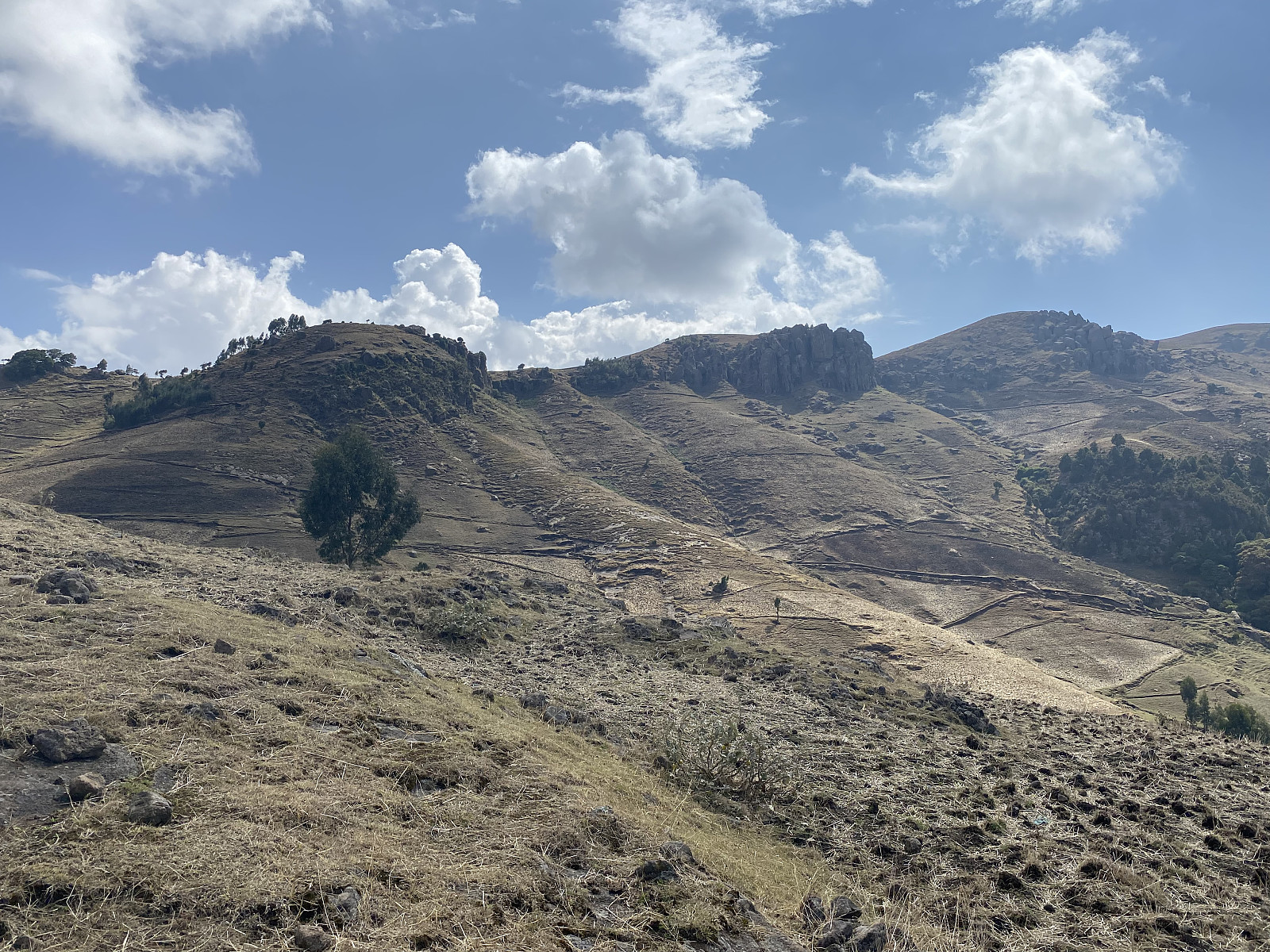
At the south end of the mentioned plateau, there is a rather steep edge (between 3190 and 3230 m.a.m.s.l. - see GPS tracking), and once you've scrambled up this edge, you have to take to the right to get going towards the summit. There is another small village up here, holding maybe just two or three households; and the people living up here are keeping mules, as these animals are quite well suited for strong labor in the mountains.
![Image #11: Finally getting a view over to Moglē Korebta [3324 m.a.m.s.l.].](https://images2.peakbook.org/images/14939/Solan_20250411_67f93f9199a87.jpeg?p=xtralarge)
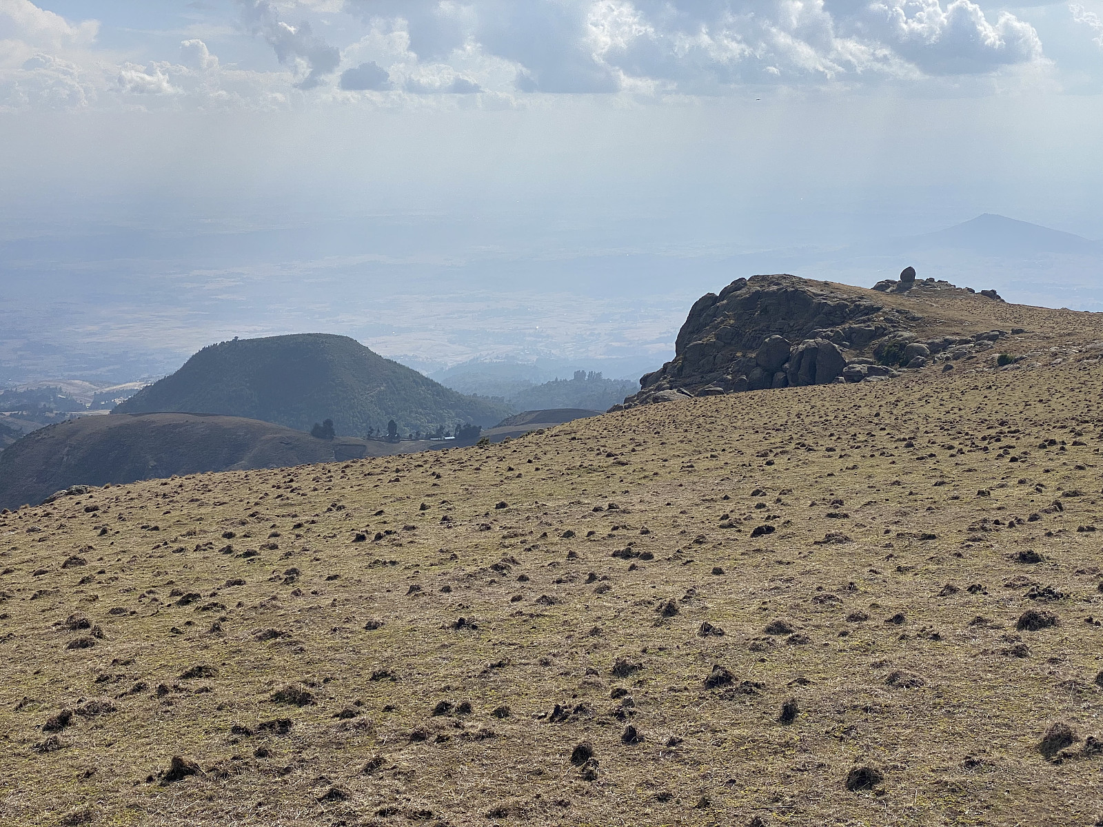
As you continue west towards the summit of Wochecha or Damota, you pass by a little knoll that reaches up to maybe 3295 or 3300 m.a.m.s.l. We followed the trail to the left of this knoll. Beyond the knoll, the trail that people uses, goes a little to the right, and then turns left towards the summit once you're upon the summit plateau; and I've previously always followed that trail up. This time, however, I led my colleagues along a passage directly towards the summit. This path led between two small mountain knolls (image #13), and proved to be a real shortcut.
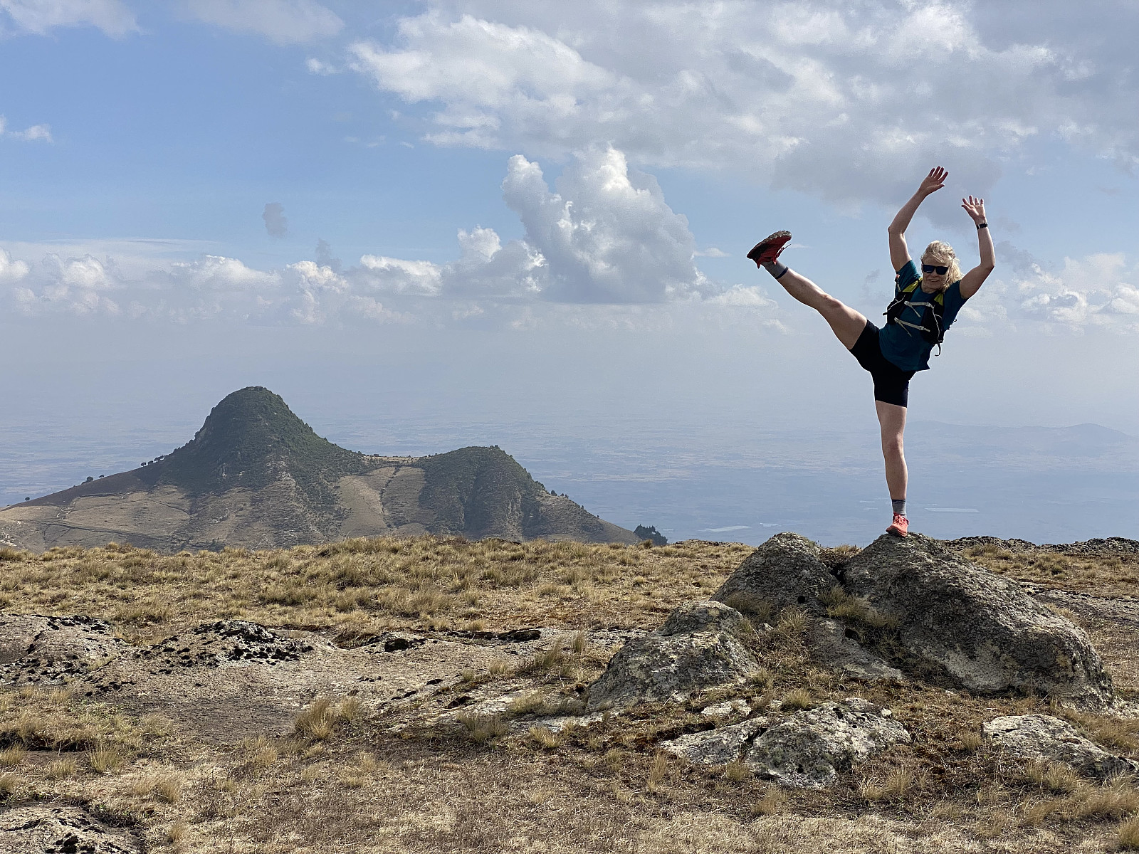
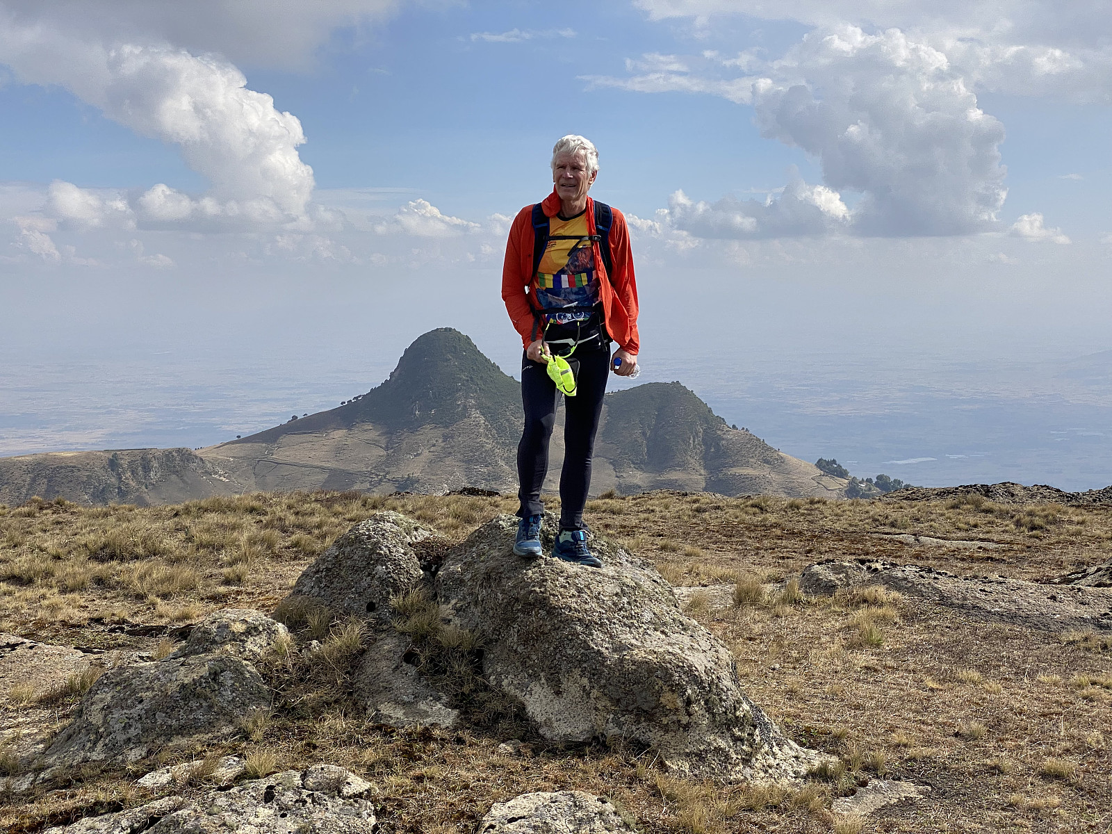
As we walked upward these final elevation metres towards the summit, you could see over to Moglē Korebta (Image #11), and you could see the valley between Damota and Moglē Korebta, a valley that any map reveals is the remnant of a huge ancient volcanic crater. We reached the summit, and did some photo shooting up there (images ## 14 & 15). We thereafter sat down and had something to eat. The kids from the last villages seemed to want something to eat as well. We didn't have very much with us, but we shared with them part of the food that we were having with us. When asking for more, they obviously didn't know the English word for "bread", and so they asked for "injerra".
We soon started our descent from the mountain. As last time on this mountain, we just passed by the mountain ridge that we had used upwards, and chose instead to descend along the next ridge (see map with GPS tracking). This ridge is quite beautiful in the upper parts, with nice trees with green grass beneath, which makes it look like some kind of a garden. The trail downwards along this ridge is nice and easy to follow, and I've been thinking that this ridge is probably the best and easiest to follow even upwards, if I ever visit this mountain again. It is actually possible that you could save about half an hour by climbing this ridge instead of the other one when ascending the mountain.

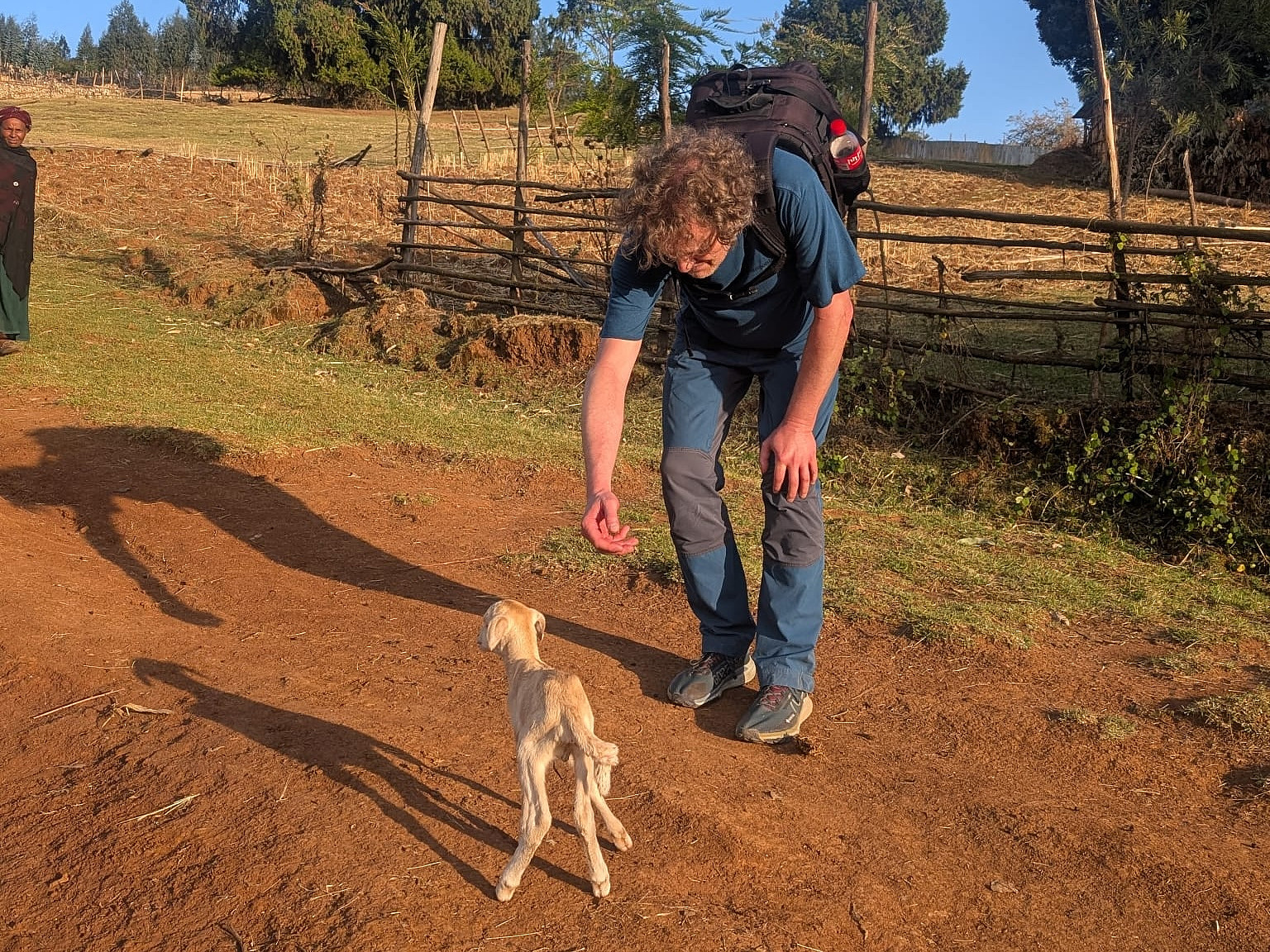
We soon reached the larger village at the foot of these mountain ridges, and then headed back towards mount Jemo again. While following the road and then the trail in this direction, we encountered some people with herds of goats and sheep that they were bringing back towards their village for the night, after a day of grassing in the pasture fields (image #19). On our way back towards Addis, we didn't bother to pass over the summit of Jemo (as we had already been there), and just followed the main trail about 400 meters north of the Jemo summit (see GPS tracking). We then descended towards the suburb of Burayu, from which we had started out. As we approached the site where our taxi driver was waiting, twilight was just setting in, and there were calls from the minarets in the neighbourhood, admonishing people to take time for an evening prayer.

Benutzerkommentare