Tour Skiing to Mount Kragefjellet with my Son (01.05.2021)

| Start point | Stryn Winter Ski Centre (325m) |
|---|---|
| Endpoint | Stryn Winter Ski Centre (325m) |
| Characteristic | Randonnée/Telemark |
| Duration | 4h 43min |
| Distance | 12.2km |
| Vertical meters | 1,131m |
| GPS |
|
| Ascents | Kragefjellet (1,400m) | 01.05.2021 |
|---|---|---|
| Småeggene (1,113m) | 01.05.2021 13:20 | |
| Visits of other PBEs | Stryn vinterski (325m) | 01.05.2021 13:20 |
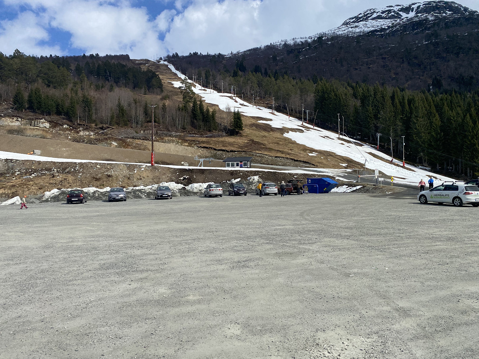
On this occasion, my son had read online a few days earlier, that it was still possible to go skiing to Mount Kragefjellet in the municipality of Stryn in the county of Vestland, and so we went to the site by car. Now, this municipality has two skiing centers, i.e. there is Stryn Summer Skiing Centre, and then there is Stryn Winter Skiing Centre; and in order to climb Mount Kragefjellet, the convenient place to park your car is at the winter skiing centre [the summer skiing centre is at a totally different location much higher up in the mountains].

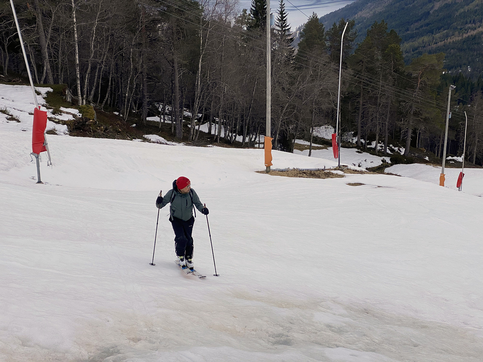
As we parked at the winter skiing centre, we realized that snow was much more scarce than we had anticipated; i.e. it was not even enough to keep the skiing centre open. Nevertheless, there was a narrow strip of snow along the trail of the ski lift (Image #1); and so we decided to give it a try. As we gained altitude, the snow gradually became more abundant, and even dryer and better to go skiing upon; and there was nowhere any need to take the skis off in order to cross snowless spots or open water.
![Image #5: Approaching the ridge between Mount Gryta and Mount Kragefjellet, i.e. the notch called "Bubergskaret". Mount Gryta [1032 m.a.m.s.l.] is seen in the background.](https://images2.peakbook.org/images/14939/Solan_20210808_61103ac031682.jpg?p=xtralarge)
![Image #6: Mount Kragefjellet [1400 m.a.m.s.l.] coming into sight, as we were climbing the knolls called Småeggene [1113 m.a.m.s.l.].](https://images2.peakbook.org/images/14939/Solan_20210808_61103b710a53a.jpg?p=xtralarge)
As we reached the mountain edge where the ski lift ends, we could look into the valley between Mount Gryta and Mount Kragefjellet (see map), and as we looked into the valley we decided to circumvent it to the right; where there is a mountain ridge interconnecting the two mentioned mountains, so that we wouldn't have to cross the river in the valley, were we suspected there could be open water that we would have to cross. There is probably a bridge across the river at some spot down there, though, leading up to a second, or upper ski lift (image #4), that could have taken us up to about 980 m.a.m.s.l. had it been running; but it was just as closed as the lower lift.
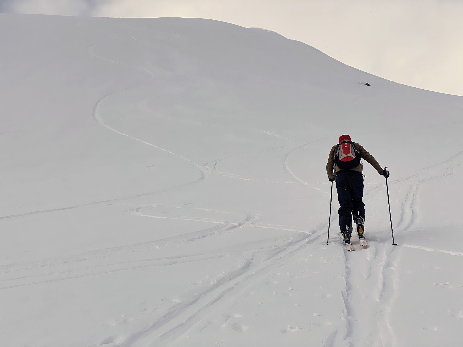
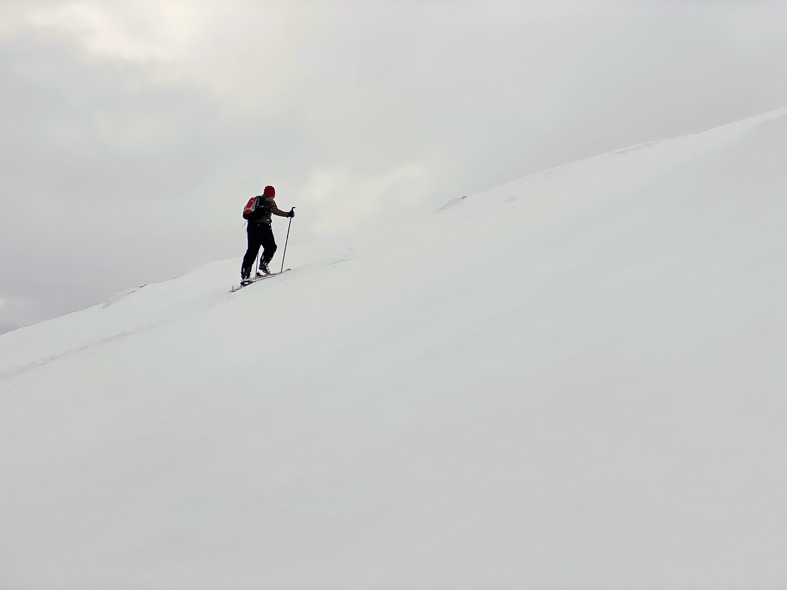
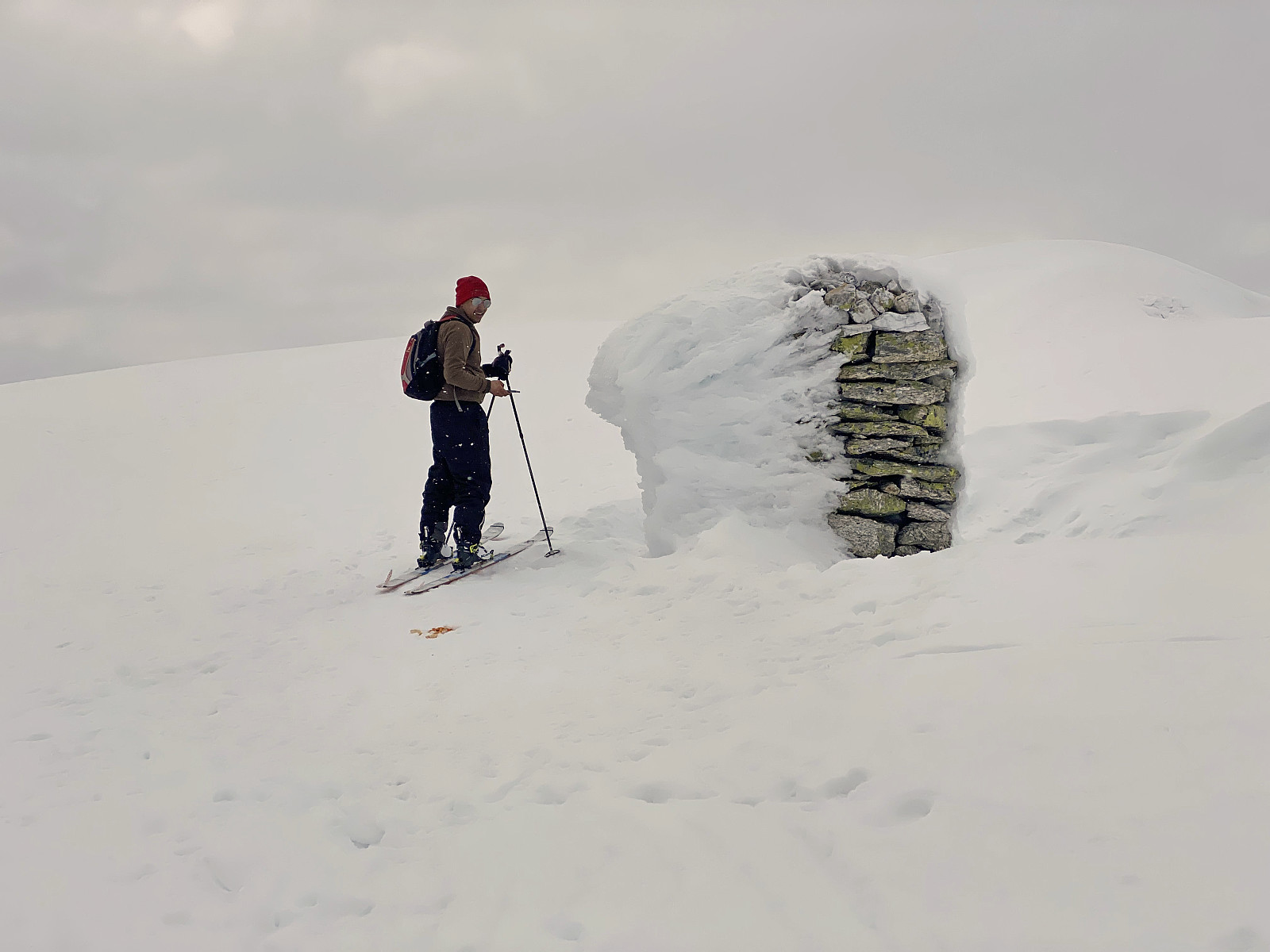
The ridge between Mount Gryta [1032 m.a.m.s.l.] and Mount Kragefjellet [1400 m.a.m.s.l.] forms some sort of a notch at its lowest part; and this notch is called Bubergskaret. As we arrived at Bubergskaret, we continued upwards the mountain side of Mount Kragefjellet, along a number of knolls called Småeggene [i.e. "The Small Edges/Ridges"]. The ascent had some rather steep parts where skiing upwards was a little bit tricky, but for the most part ski touring up this mountain ridge was uneventful.
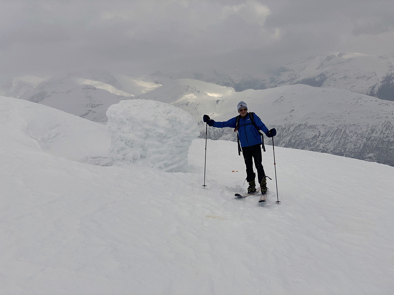
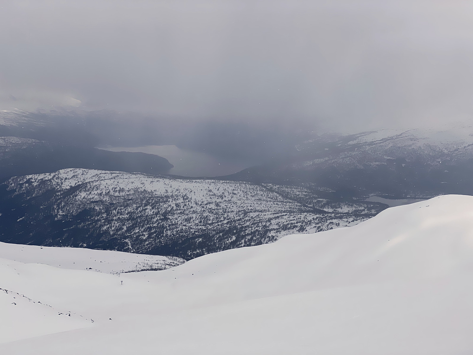
As we approached the summit, there was one more rather steep climb, but then we were there; admiring the view from the summit. The weather hadn't been that nice this afternoon, with clouds coming and going, but as we reached the summit, visibility actually improved, even to the extent that we were able to se the renown Mount Honndalsrokken [1527 m.a.m.s.l.] afar (Image #11). After a little to eat and drink, we embarked upon our descent, pretty much following the same route as we had done for the climb.
![Image 11: The view from the summit area of Mount Kragefjellet. The renown Mount Honndalsrokken [1527 m.a.m.s.l.] is seen just a little to the right of the middle of the picture.](https://images2.peakbook.org/images/14939/Solan_20210808_61103f279cec6.jpg?p=xtralarge)

User comments