Alpine Tour Skiing to Mount Høgenibba in Volda Municipality (13.03.2021)

| Start point | Hornindal Skisenter (380m) |
|---|---|
| Endpoint | Hornindal Skisenter (380m) |
| Characteristic | Randonnée/Telemark |
| Duration | 2h 47min |
| Distance | 8.2km |
| Vertical meters | 842m |
| GPS |
|
| Ascents | Høgenibba (1,192m) | 13.03.2021 12:57 |
|---|
Earlier this winter, my son had read a tour description for alpine skiing to the summit of Mount Høgenibba in Volda Municipality in the County of Møre & Romsdal. Vi did indeed go to the skiing center in Horningdalen Valley in mid December, intending to ascend the mountain on skis; but on that occasion we ended up with ascending another mountain, as snow was way too scarce in Horningdalen Valley at that time. But on this day we decided to go back there, to make a new attempt, and at this time there was much more snow than it was on the previous occasion. There was sure no abundance of snow in the lower part of the trail, but at lest enough to embark upon our tour as we had planned before leaving home.
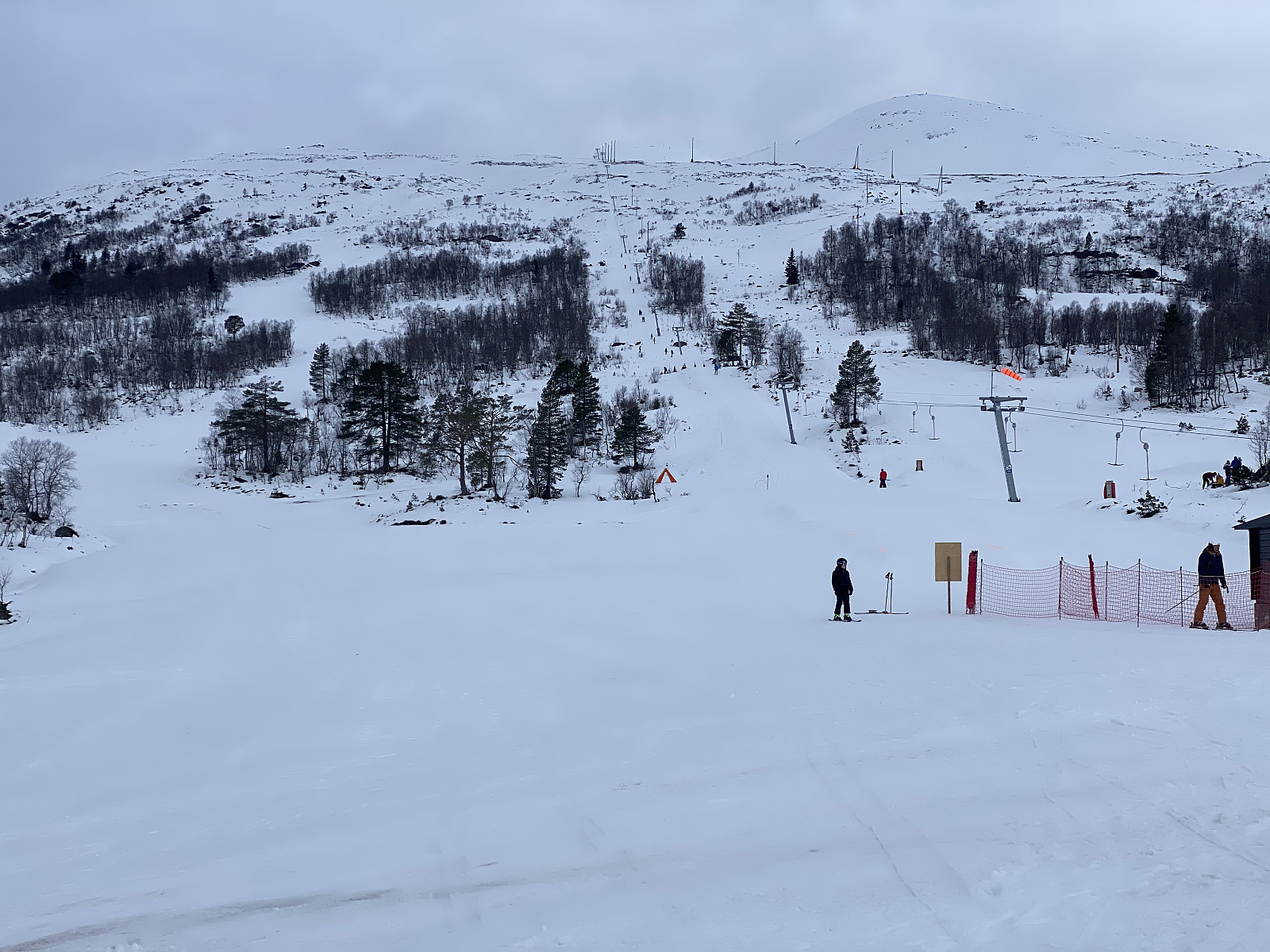
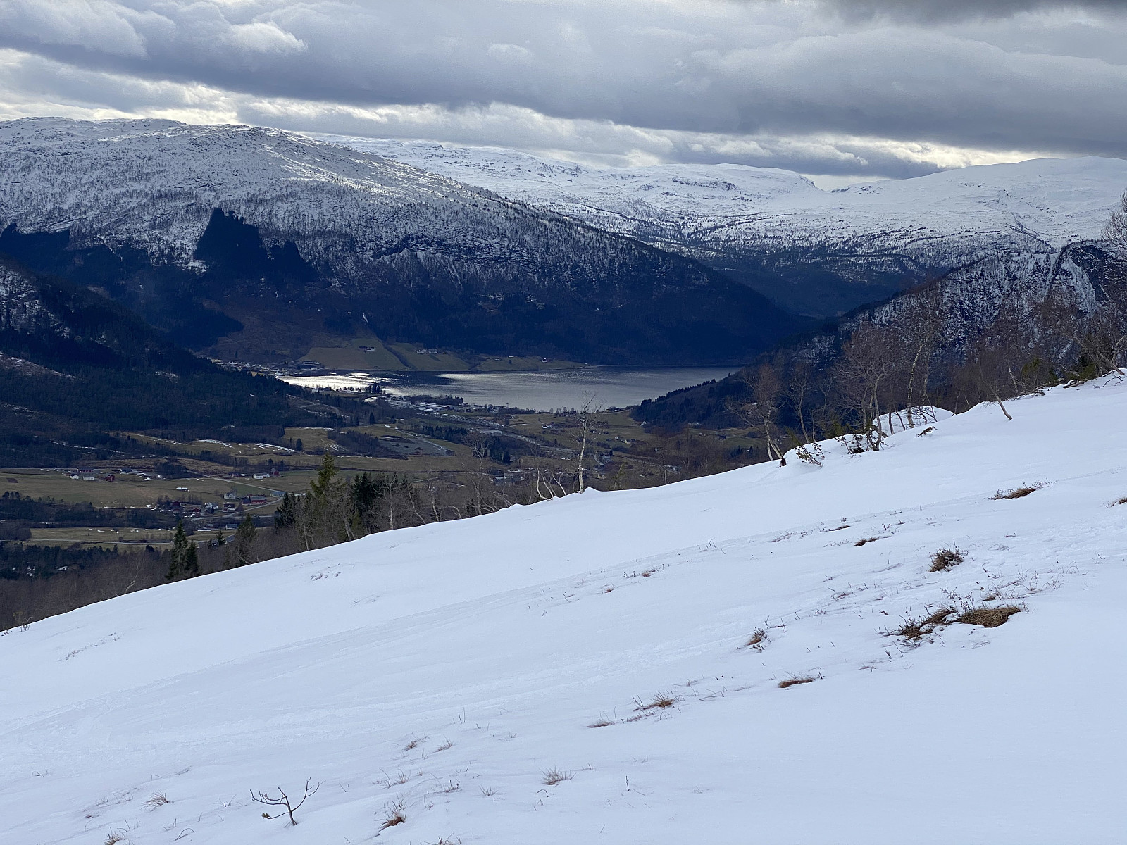
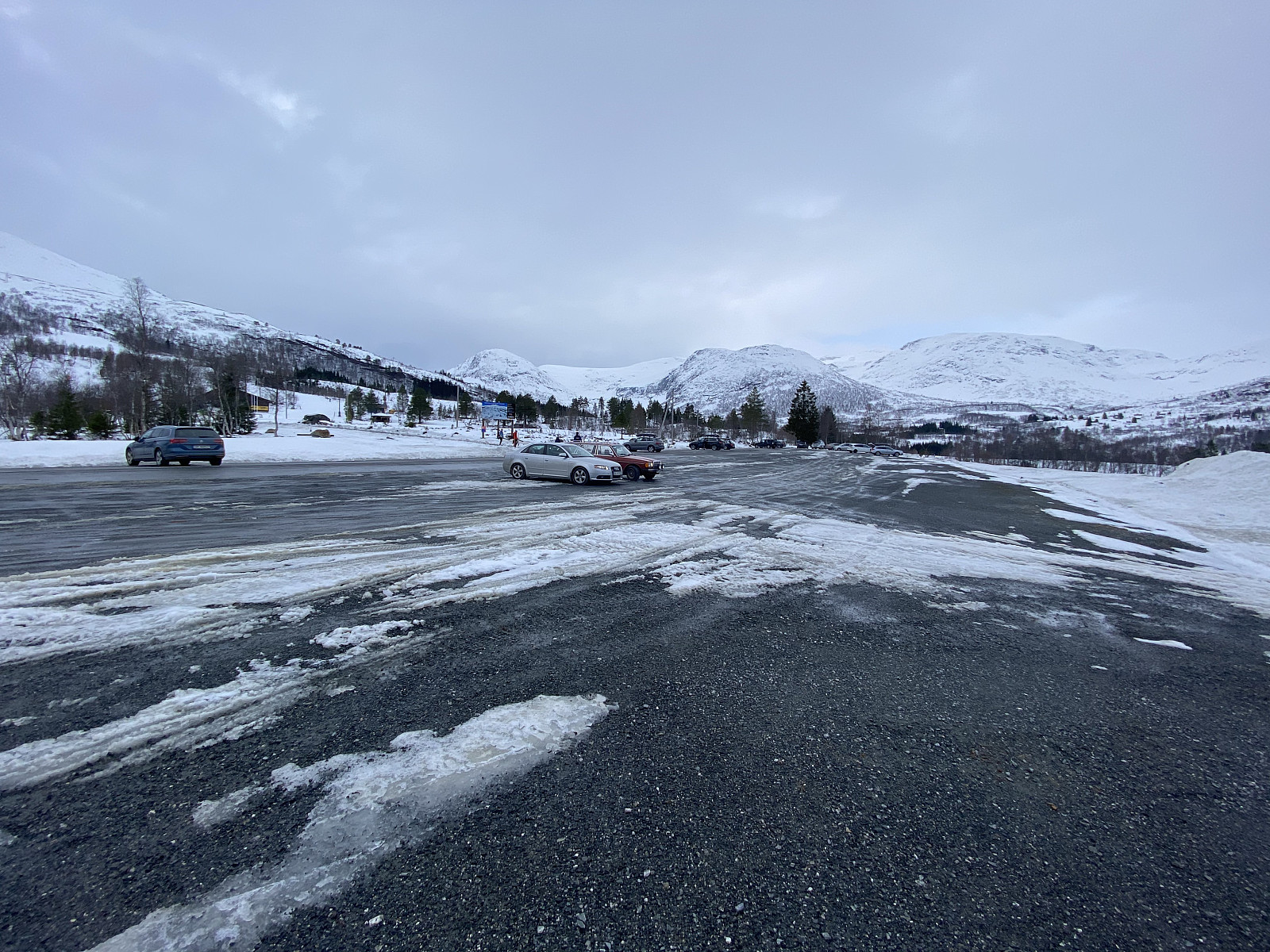
Horningdal Skiing Centre is a downhill alpine skiing arena with a little drag lift climbing the mountain in a more or less westward direction (Image #1). There's one downhill trail on the south side of the drag lift, and two or three on the north side of it. When we arrived there, we noticed that the downhill trail on the south side of the lift [i.e. on the left side as you climb the mountain], seemed to be closed for downhill skiing due to too scarce an amount of snow. At this time, however, there was much more snow than there had been in December; and more than enough for tour skiing, though it was absolutely true that it was two scarce for ordinary downhill skiing (Image #2).
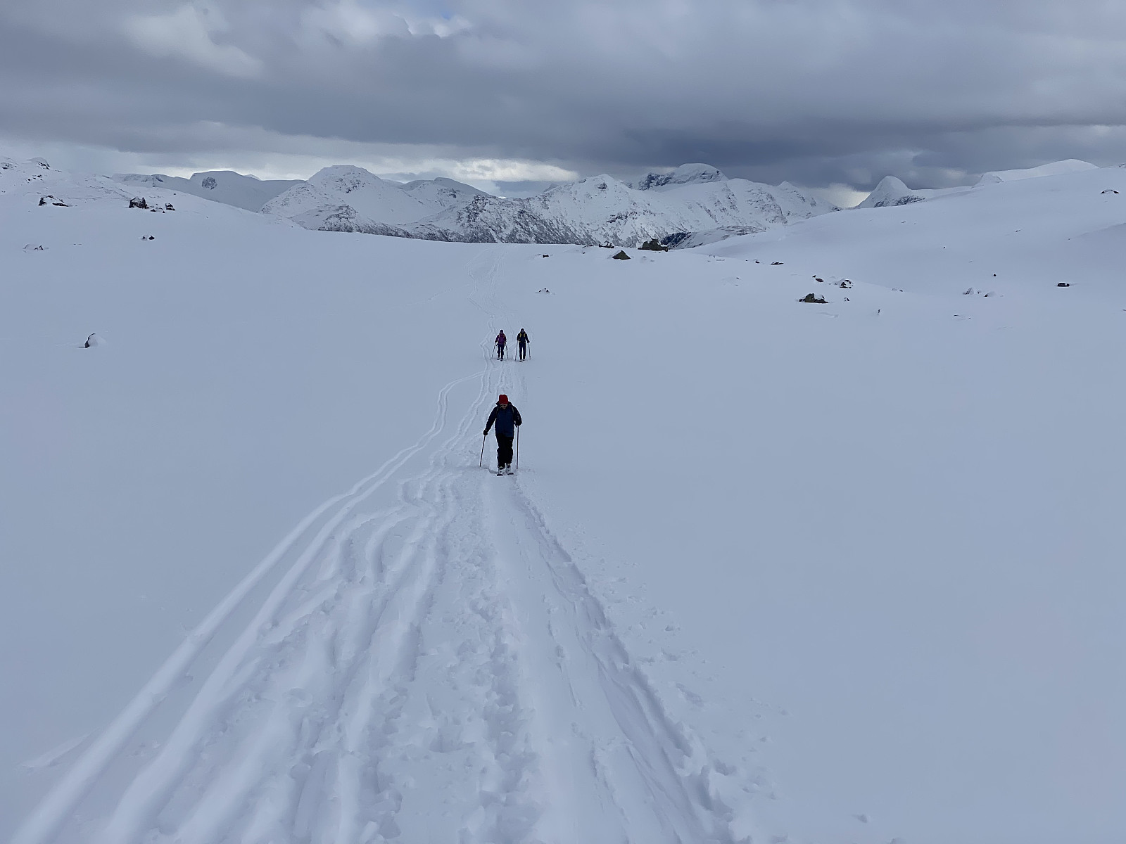
Since the southern trail was closed for downhill skiing, we chose it for our ascent, as that minimized the risk of being run down by downhill skiers. There were a few places in this trail where we had to cross some open creeks, but otherwise the ascent along the downhill trail was uneventful. The drag lift of the skiing centre ends on the edge of a plateau beneath Mount Liltlenibba [1060 m.a.m.s.l.]; "the little brother" of mount Høgenibba. (The meaning of the word høgenibba is the high knoll, and litlenibba is the little knoll). On the plateau there's actually a number of small lakes or ponds, some of which we're crossing on image #4. There was much more snow up here on the plateau than it had been in the downhill trail, and of course ice on the ponds beneath the snow; and so we didn't actually see that we were walking on top of these small lakes, we just knew it from the map.
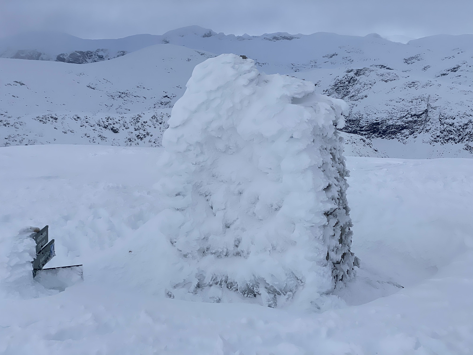
![Image #7: A sign stating we're on top of Mount Høgenibba [1191 m.a.m.s.l.], and the one beneath it pointing the direction to Mount Kviven [1025 m.a.m.s.l.].](https://images2.peakbook.org/images/14939/Solan_20210709_60e775ee6db24.jpg?p=xtralarge)
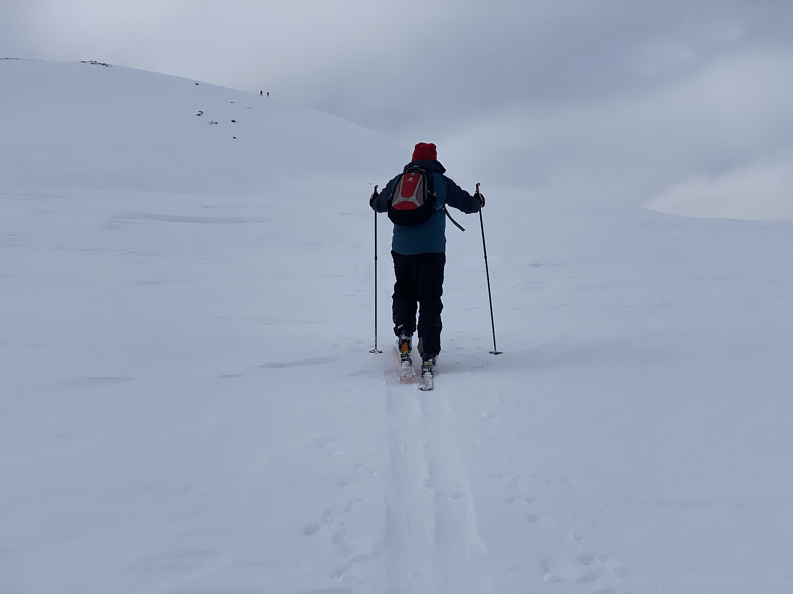
After the crossing of the ponds, we embarked upon climbing again (see image #5 and my GPS tracking). We followed some other people's skiing trails towards the notch between Mount Høgenibba and Mount Litlenibba, and then we turned westwards, and reached the summit of Mount Høgenibba along the eastern ridge of the mountain. Close to the top of the mountain we ran into an area were the snow was quite icy, and where it would've been an advantage to have crampons to connect onto our ski bindings. Nevertheless, we managed to get up to the summit even though we didn't have any crampons with us.
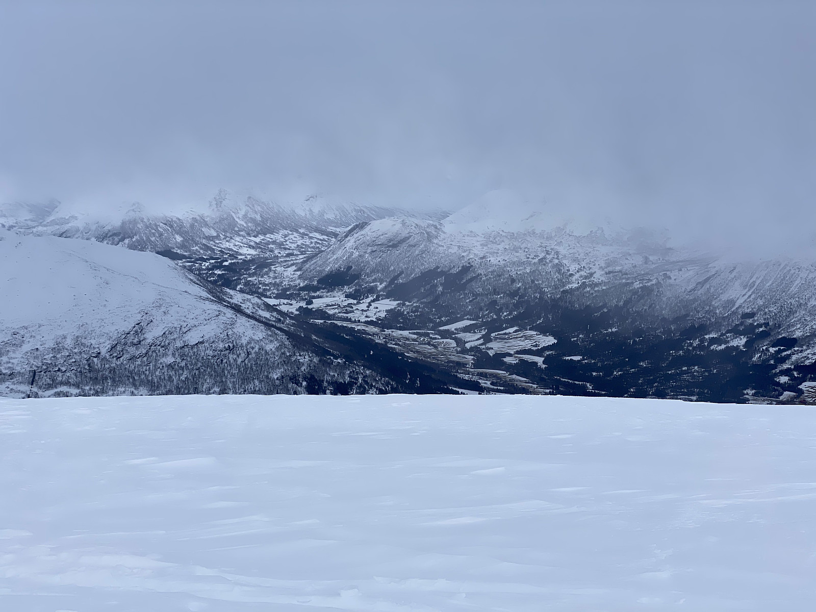
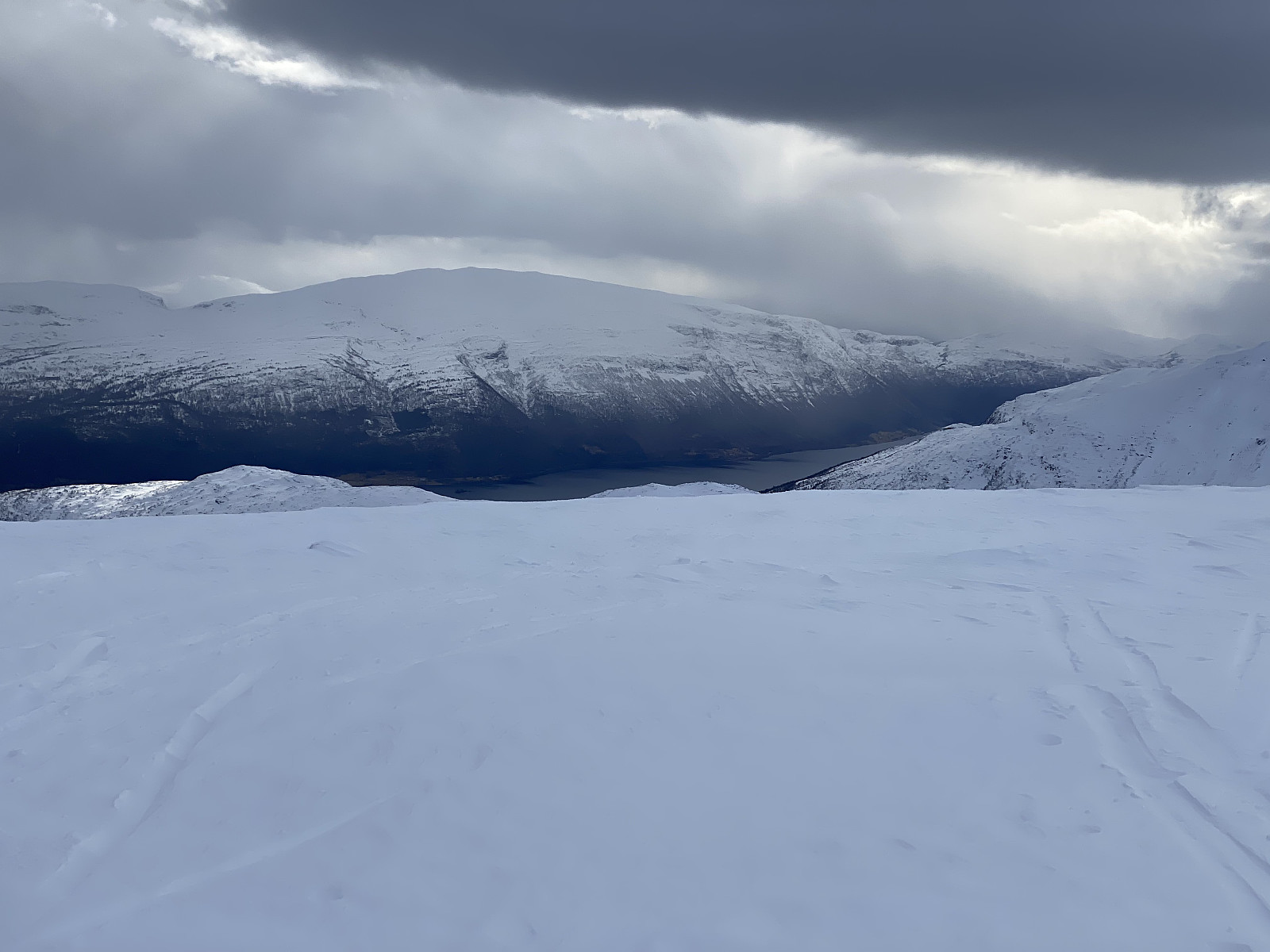
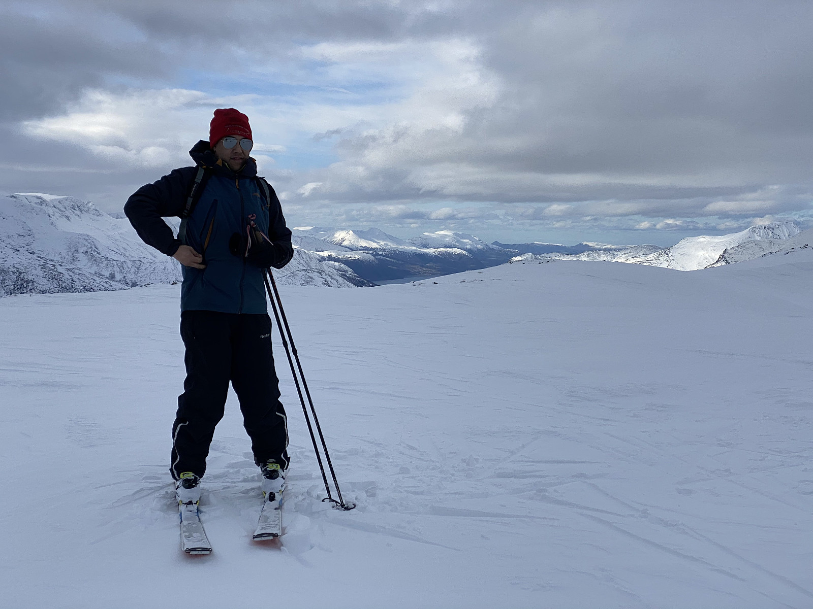
On top of the mountain the view was splendid in most directions (images ##6 and 9 - 11). Two girls or women in their late teens or early twenties had arrived at the summit shortly before us, I think it might be the two visible afar on image #5. We had met a lot of people on our way, some outrunning us, and some being outrun by us; but most people that we had encountered had been on their way back down from the mountain as we were ascending, mainly due to the fact that we had come driving from afar, and so we had started skiing quite late this day. Skiing down again was quite fun. Apart from a short span with icy snow close to the summit, the snow was quite nice, and much of it was of a powder-like consistence. Down at the downhill slopes we chose a trail on the north side of the drag lift for our descent, in order to avoid open creeks and large holes in the snow; and skiing along this downhill track also proved to be quite fun.
![Image #11: View from Mount Høgenibba [1192 m.a.m.s.l.] towards Mount Gjugra [1294 m.a.m.s.l.].](https://images2.peakbook.org/images/14939/Solan_20210709_60e779f51ef87.jpg?p=xtralarge)

User comments