To Mount Grøtshornet with my Son Dag (27.02.2021)

| Start point | Vatneeidet (55m) |
|---|---|
| Endpoint | Vatneeidet (55m) |
| Characteristic | Hike |
| Duration | 3h 28min |
| Distance | 10.5km |
| Vertical meters | 693m |
| GPS |
|
| Ascents | Grøtshornet (663m) | 27.02.2021 |
|---|
I have on one previous occasion ascended Mount Grøthornet along with my oldest son and my youngest daughter, but on that occasion the weather was so rainy and foggy that we didn't see a thing from up there; so when my son now asked me if I'd like to have another hike up there, I immediately responded with a "yes". And so we went by car to a location called Vatneeidet (see map), and parked outside the supermarket there. (The parking lot is, strictly speaking, reserved for customers at the supermarket and some nearby stores; but they don't have that many customers on Saturdays, so it's very unlikely that they will have your car removed).
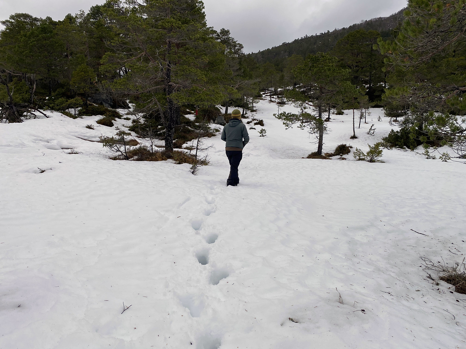
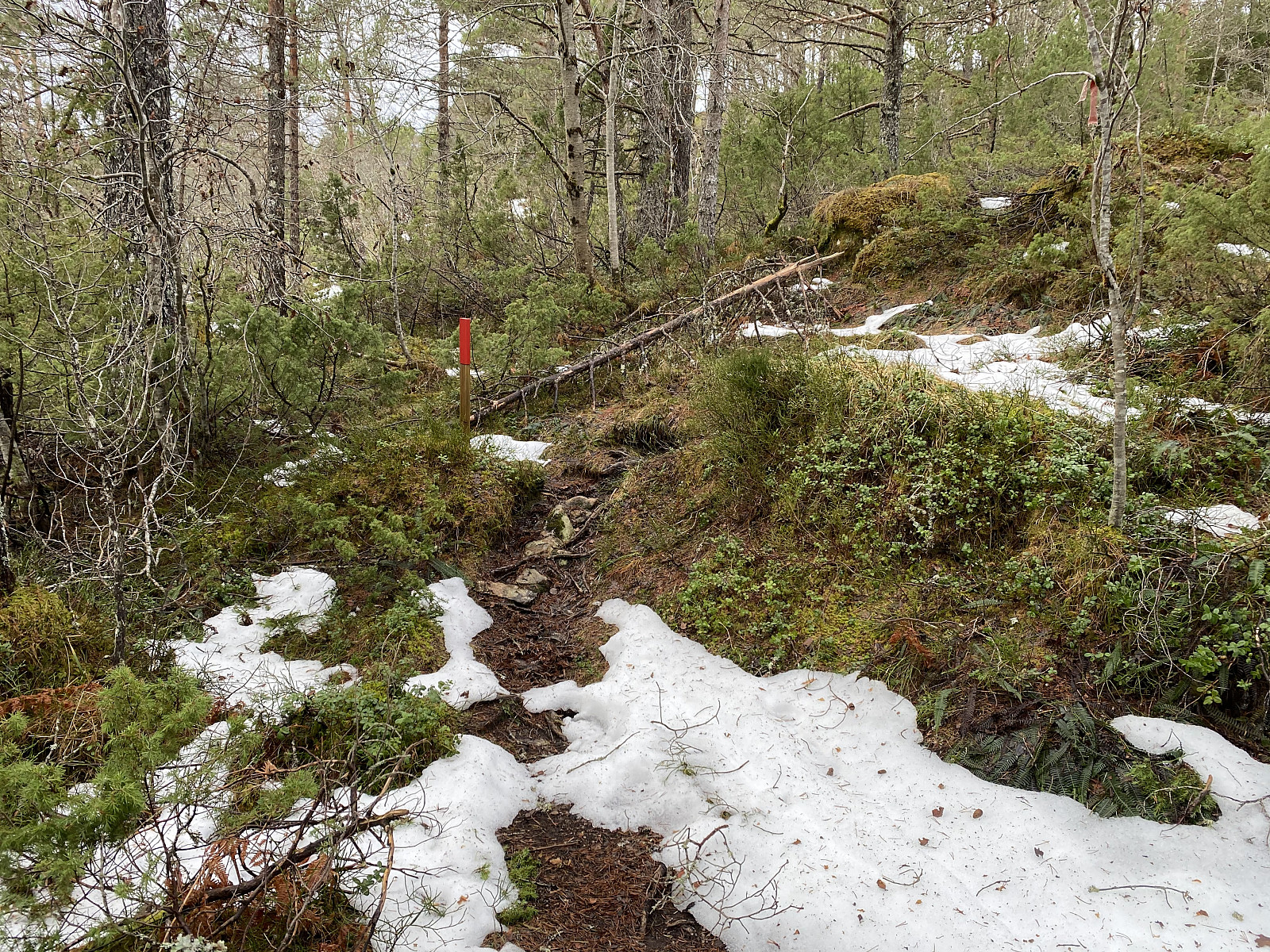
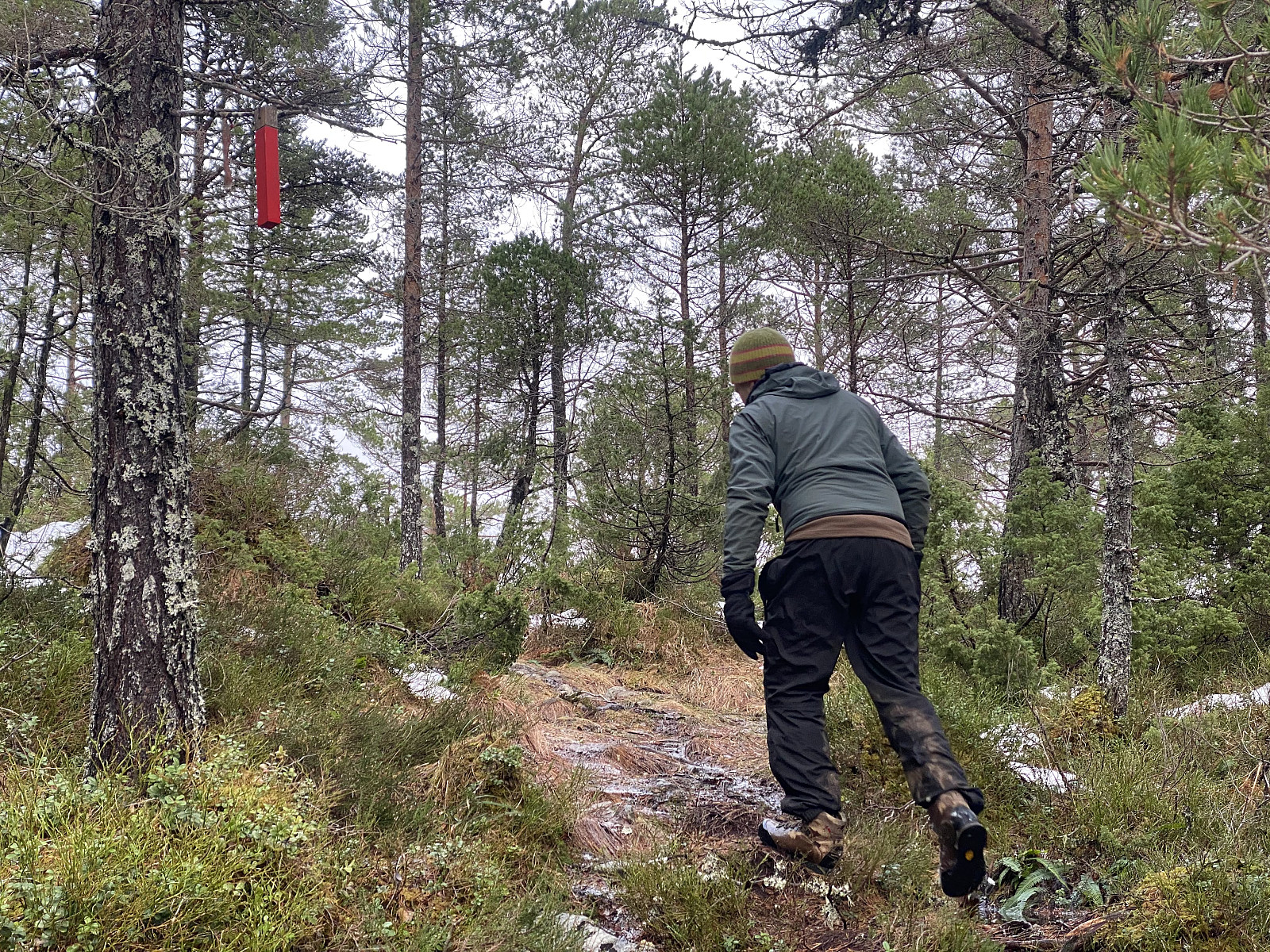
Setting out from the parking lot, we crossed county road 661, and then followed an old forest road in a westward direction (see GPS tracking). After a little less than 1 kilometer, we left the forest road for a forest trail on the right hand. This trail is usually quite okay for hiking, and it is very well marked by red markings; either as red paint on sticks on the ground, or as red paint on small wooden blocks hanging down from the trees (Images ## 1 & 2). This trail does cross two mires, however, and on this day they were both covered by heavy snow soaked by water due to thawing; and underneath the snow was creeks and ponds with liquid water that we stepped into all the time, because the snow on top prevented us from seeing them. Our shoes were soon just as soaked by water as the snow was, but we were quite determined to reach the top of the mountain on this day, and so we just ignored the problem and went on.
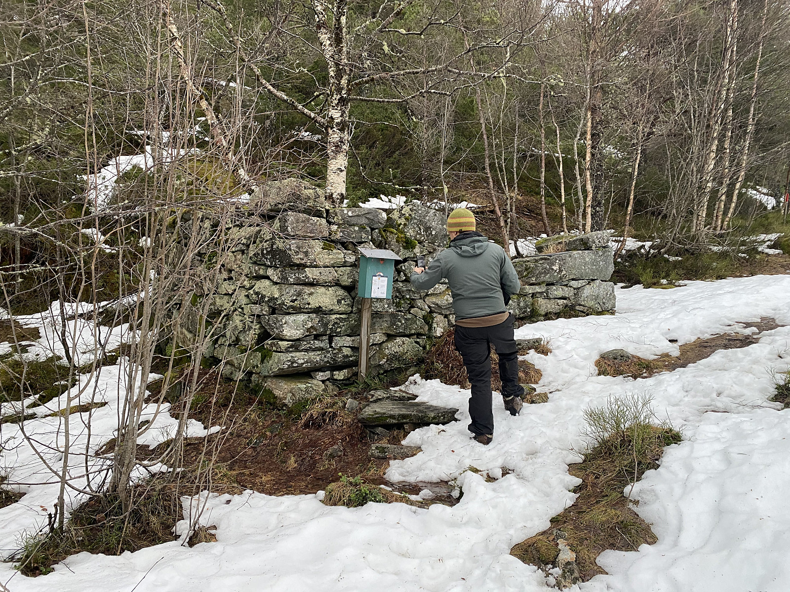
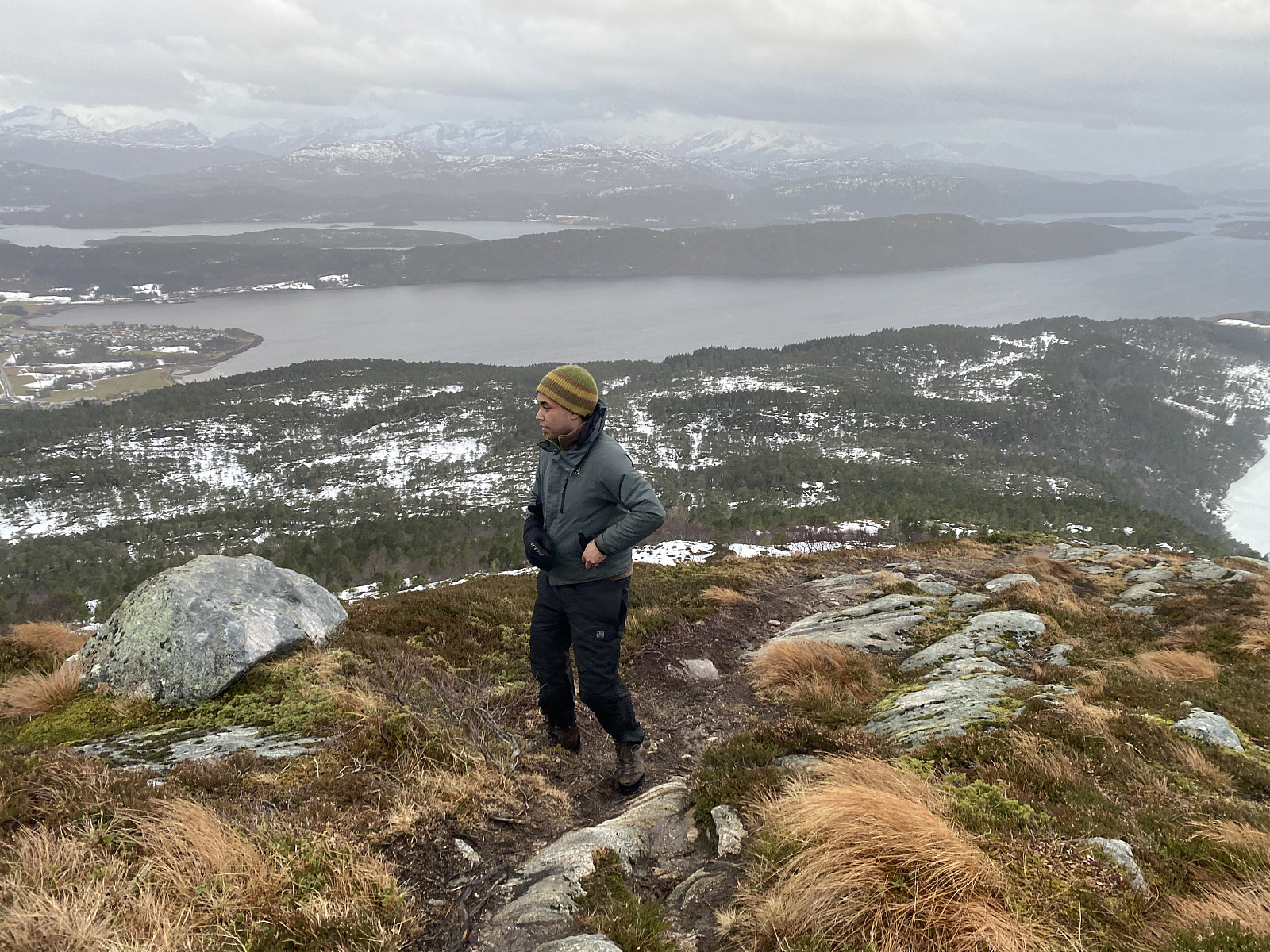
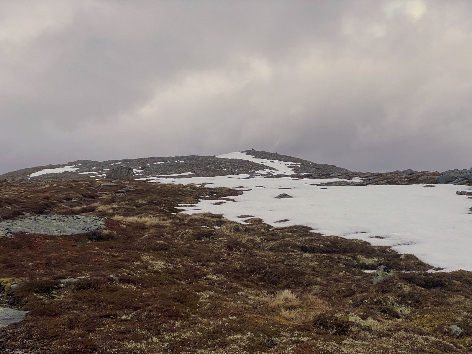
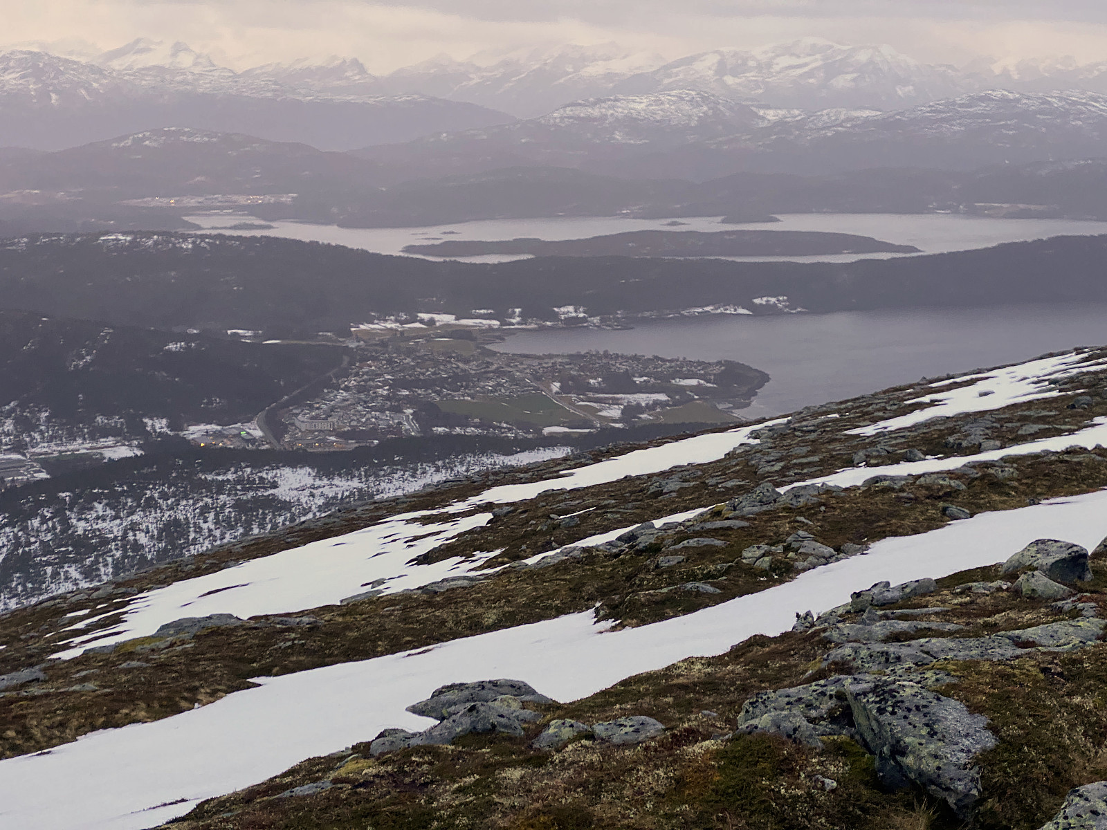
After the second mire we reached a location called Larsgardssætra, where there used to be some small cabins once upon the time; though today only some ruins remain (Image #5). When we had passed Larsgardssætra, we were soon done with the forest, and reached the south ridge of Mount Grøtshornet, which we followed all the way to the summit. Due to more wind above the forrest, most of the snow up here had long been gone; and so this part of our trek became much more easy than the crossing of the two mires had been. There were still some patches of snow in the summit area, though, but the snow up there was not as wet as the one covering the mires; and so it posed no difficulty for our trek, you could just cross it wherever you wanted.
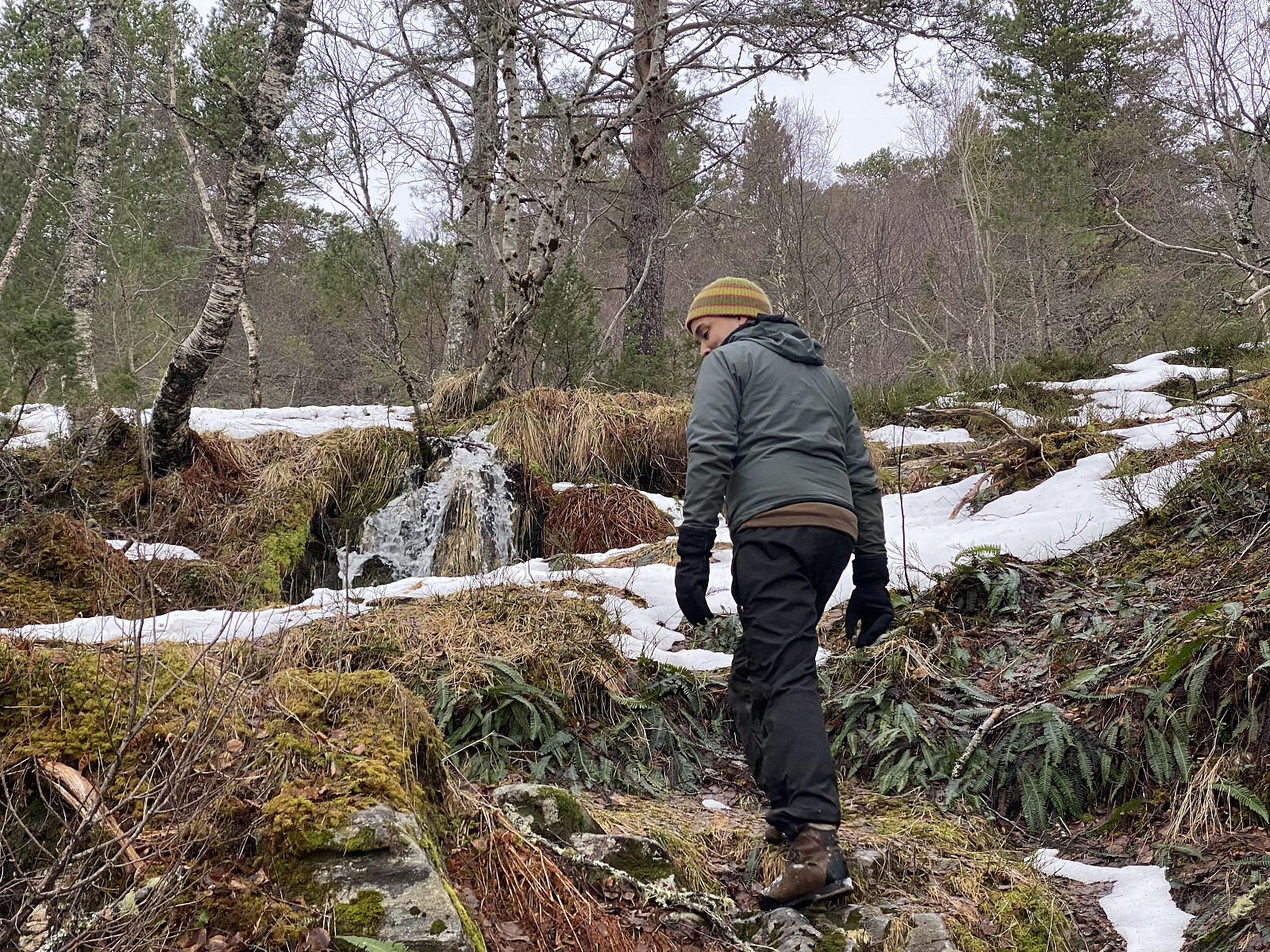
From the summit back down to Larsgardssætra, we descended along the very same route that we had used for our ascent; but from Larsgardssætra back down to Vatneeidet, we used a diffenet trail, in order to avoid the mires that we had crossed on our way up. Due to ongoing thawing of the snow, though, there was a lot of creeks and ponds even here; and so the main advantage of this route was that there was much less snow to wade through.
![Image #9: View towards Mount Storefjellet [950 m.a.m.s.l.].](https://images1.peakbook.org/images/14939/Solan_20210615_60c7d4ab8d79e.jpg?p=xtralarge)
![Image #10: View towards Mount Grødet [684 m.a.m.s.l.] and Mount Blåskjerdingen [1069 m.a.m.s.l.].](https://images1.peakbook.org/images/14939/Solan_20210615_60c7d843d90ee.jpg?p=xtralarge)

User comments