On Mount Løvstakken with my Son Dag (10.05.2014)

| Start point | Melkeplassen (175m) |
|---|---|
| Endpoint | Melkeplassen (175m) |
| Characteristic | Hike |
| Vertical meters | 300m |
| Map |
|
| Ascents | Løvstakken (478m) | 10.05.2014 |
|---|
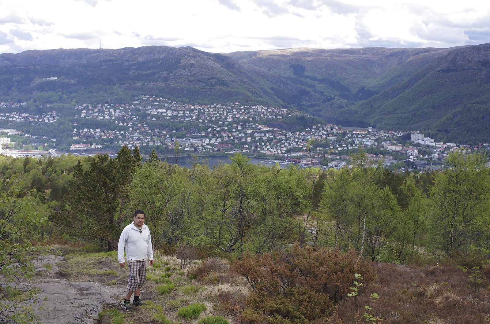
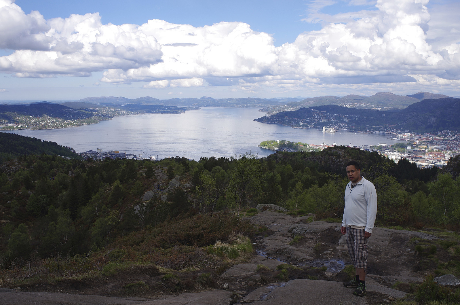
![Image #1: Halfway up the mountainside of Mount Løvstakken. In the background are seen the fjord and the city of Bergen, and just in front of the city the knolls called Liafjellet [286 m.a.m.s.l.] and Strandafjellet [294 m.a.m.s.l.].](https://images1.peakbook.org/images/14939/Solan_20210601_60b697d8f269b.jpg?p=xtralarge)
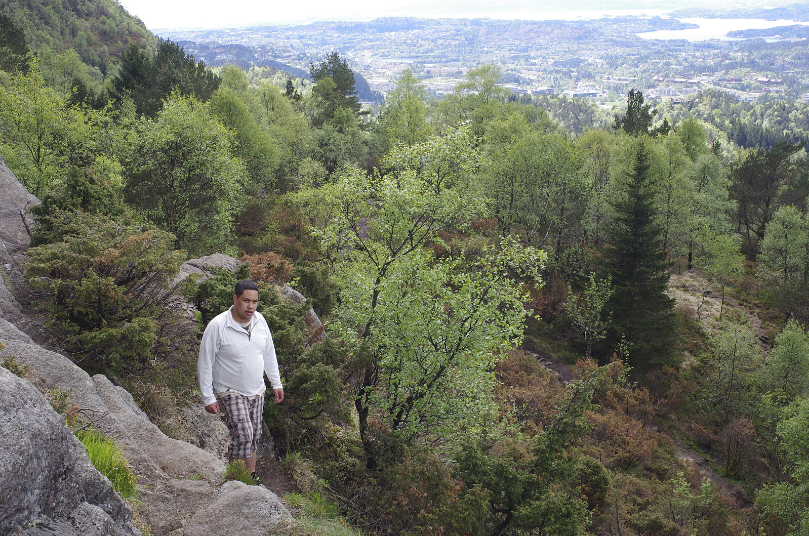
![Image #2: In the mountain side of Mount Løvstakken. The mountain in the background is Mount Olsokfjellet [354 m.a.m.s.l.], and behind it the summit of Mount Lyderhorn [396 m.a.m.s.l.] is barely visible.](https://images1.peakbook.org/images/14939/Solan_20210601_60b6995a4ccd1.jpg?p=xtralarge)
The city of Bergen has traditionally been called The City Between Seven Mountains, though there’s traditionally also been a dispute as to which of the many mountains around the city actually comprises the seven. Nevertheless, Mount Løvstakken is generally agreed upon to be one of the seven, and I had therefore had a desire for some time to visit this mountain. I had been working in Bergen for a little less than a year at this time, despite living in a different part of Norway; and as my oldest son was visiting me in Bergen this weekend, I suggested to him that we ascend Mount Løvstakken on this day.
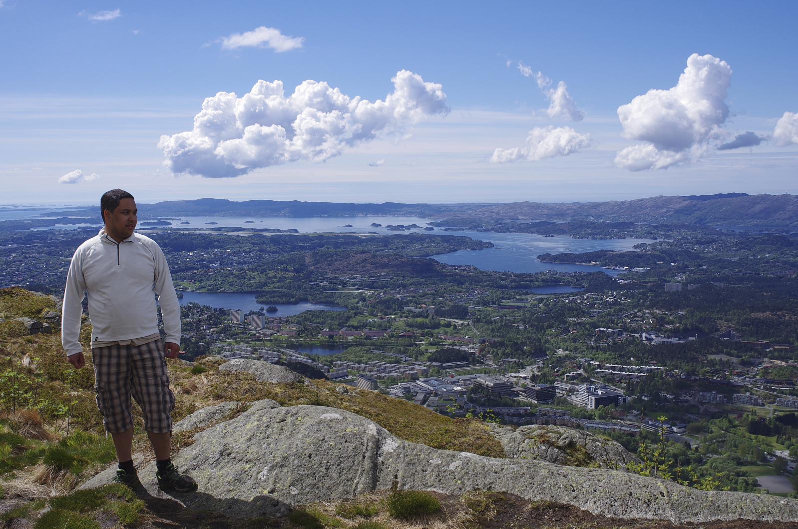
![Image #4: My son Dag on top of Mount Løvstakken, with a view towards the Fyllingsdalen valley along with Mount Olsokfjellet [354 m.a.m.s.l.], Mount Gravdalsfjellet [353 m.a.m.s.l.] and Mount Lyderhorn [396 m.a.m.s.l.].](https://images1.peakbook.org/images/14939/Solan_20210601_60b69cd2301f8.jpg?p=xtralarge)
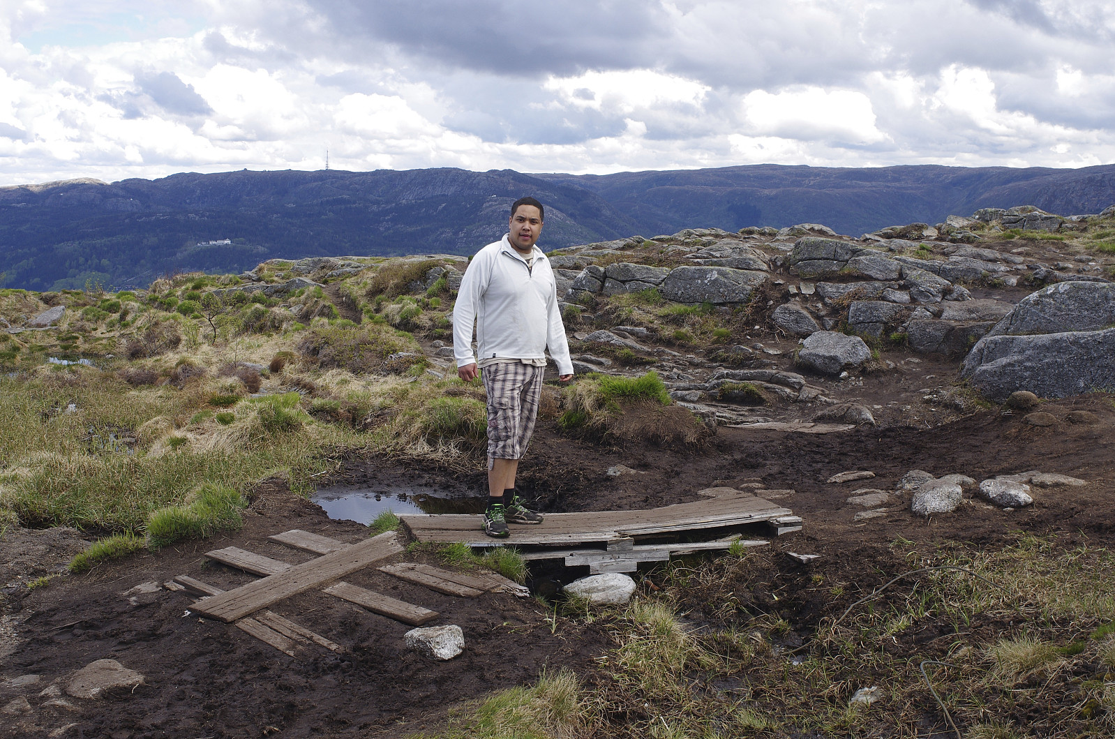
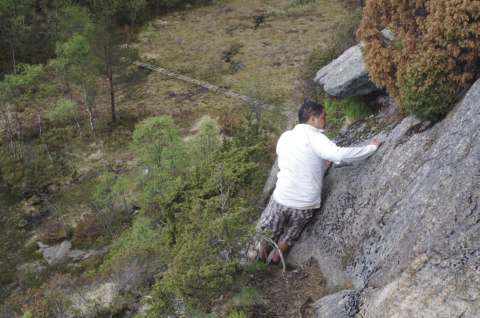
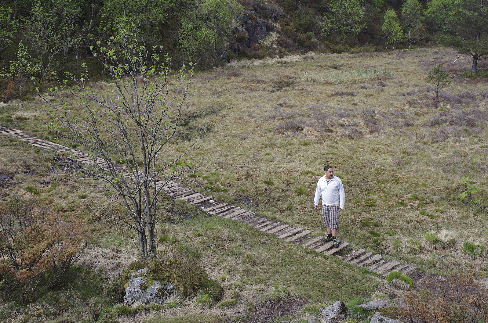
We went by car from my Bergen apartment to the valley between Mount Løvstakken and Mount Olsokfjellet, i.e. to a location called Melkeplassen, and started trekking from there. The trail that we were using seemed to be frequently used by locals to climb the mountain, and so it was clearly visible, and nowhere difficult to follow. When ascending Mount Løvstakken from the side that we had chosen, you first ascend a mound [??] called [???]; and then descend into a depression in the terrain, where you have to cross a mire, before you embark upon ascending again. We crossed the mire, and then started our climb upwards on the other side of the depression.
![Image #6: By the cairn on top of Mount Løvstakken [477 m.a.m.s.l.].](https://images1.peakbook.org/images/14939/Solan_20210601_60b69ea9707c0.jpg?p=xtralarge)
We hadn’t been climbing long, when all of a sudden I saw four or five rocks tumbling down the mountainside towards us. I was just about to warn my son about it, when all of a sudden my right calf was hit by a stone that I hadn’t seen coming. The stones had probably been set into motion by some other trekkers higher up in the mountainside, but there’s no way we’ll ever find out for sure, nor is there any way to find out who caused it to happen, and so we just continued our trek.
My right calf was quite painful as we were continuing upwards, though not so badly that I really considered aborting the trek; we just reduced our pace a little, and I was able to continue. The trail soon turned more directly upwards a not so steep slope, and so there was no real danger for any more rocks to come rolling towards us.
We eventually reached the summit of the mountain, where we shot some images of the nice view in the various directions; before we embarked upon our descent, using pretty much the same route as we had used for our ascent.

User comments