On Mount Ulriken with my Son Dag (15.04.2014)

| Startsted | Haukelandsbakken (106moh) |
|---|---|
| Sluttsted | Haukelandsbakken (106moh) |
| Turtype | Fjelltur |
| Høydemeter | 537m |
| Kart |
|
| Bestigninger | Ulriken (643moh) | 15.04.2014 |
|---|---|---|
| Ulriken Vest (607moh) | 15.04.2014 |
![Image #1: View to the south from the trail up Mount Ulriken. Notice the football field of the Bergen soccer team called "Brann" [i.e. "Fire"]. Image #2: View from the west peak of Mount Ulriken towards Mount Rundemanen and the dam called Tarlebødammen. Image #3: I don't have a gps track from this trip, but judged from our photos, this is more or less the trail that we followed on this occasion (the image is based on the gpx file of a later trek along the same route).](https://images1.peakbook.org/images/14939/Solan_20210528_60b11a7d35862.jpg?p=xtralarge)
I had been working at the university hospital in Bergen since september 2013, and now my oldest son Dag was visiting me in Bergen; and so in the afternoon we decided to hike up to the summit of Mount Ulriken. The mountain has a cable car that you may use to get up there, but our intention with the ascent was to get a workout, and so we abandoned the cable car, and started to climb along a trail just beneath were the cable car goes.
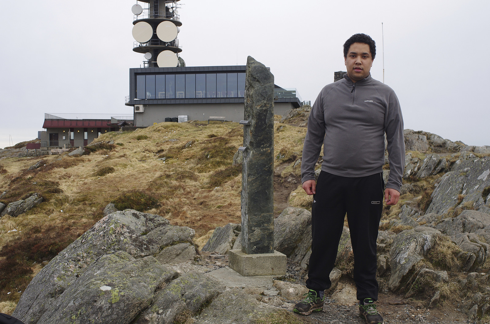
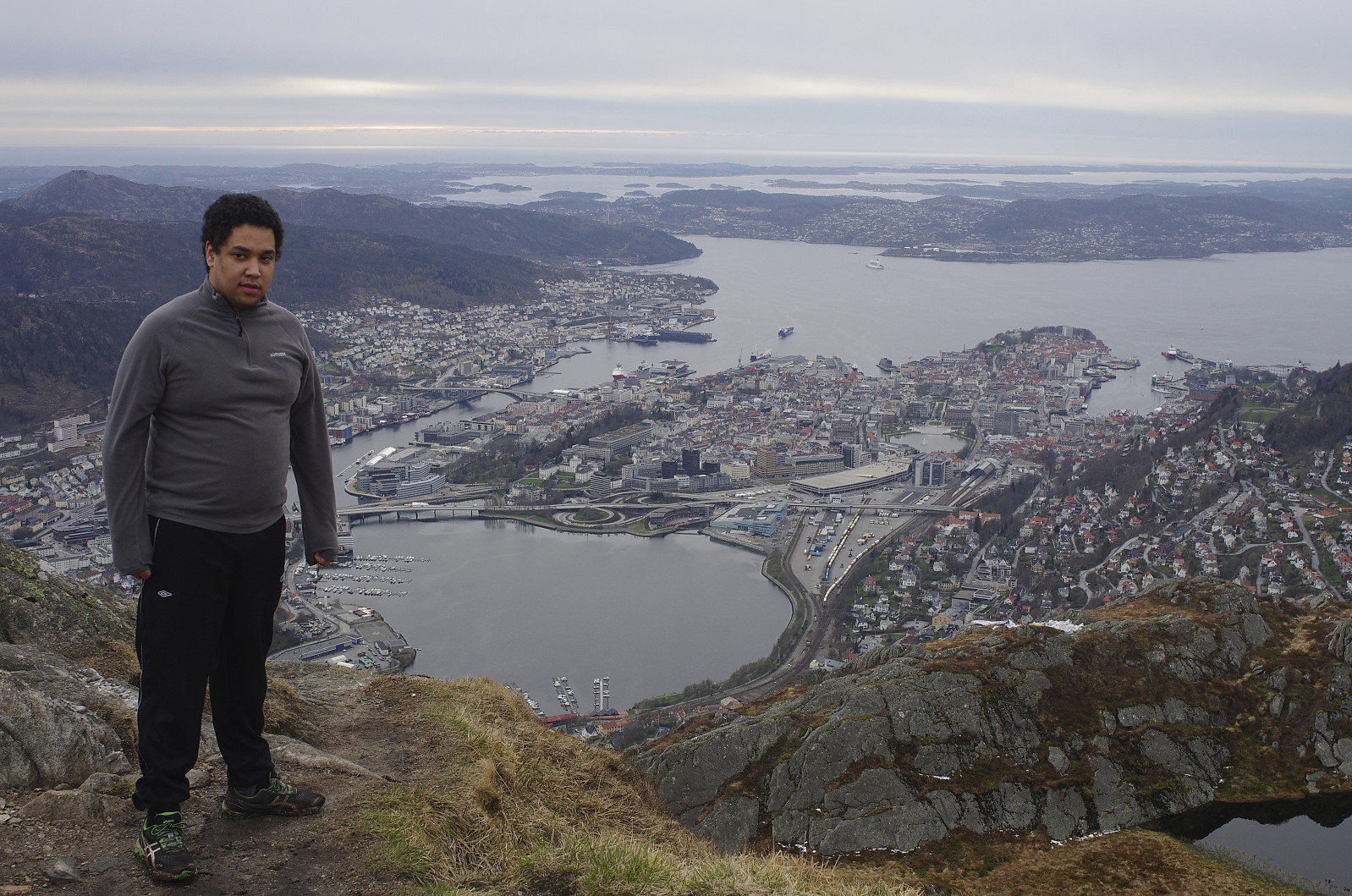
The first part of our trail goes through forest, but as you approach the top of the mountain, the trees become more scarce, and all of a sudden it is gone. On Mount Ulriken, what seems to be the top of the mountain as you're climbing, isn't actually the summit of the mountain; it's just a knoll or a ridge a little bit west of the summit. The real top of the mountain is located at 643 m.a.m.s.l., whereas the west peak is located at 607 m.a.m.s.l.. The west peak is where the cable car stops, however; so this is as far as most tourists reach. We intended to reach the summit proper, however, and so we just remained on the west peak a little while for some photo shooting; and thereafter we continued east towards the summit proper.
![Image #6: On top of Mount Ulriken, i.e. on top of the summit proper [643 m.a.m.s.l.]. In the background is seen the ocean bay called Nordåsvatnet.](https://images1.peakbook.org/images/14939/Solan_20210524_60ac0a3d487c7.jpg?p=xtralarge)
![Image #7: View from the summit of Mount Ulriken [643 m.a.m.s.l.] towards the west peak [607 m.a.m.s.l.], with the upper cable car stop, and the telecommunications mast.](https://images1.peakbook.org/images/14939/Solan_20210524_60ac0b087ff39.jpg?p=xtralarge)
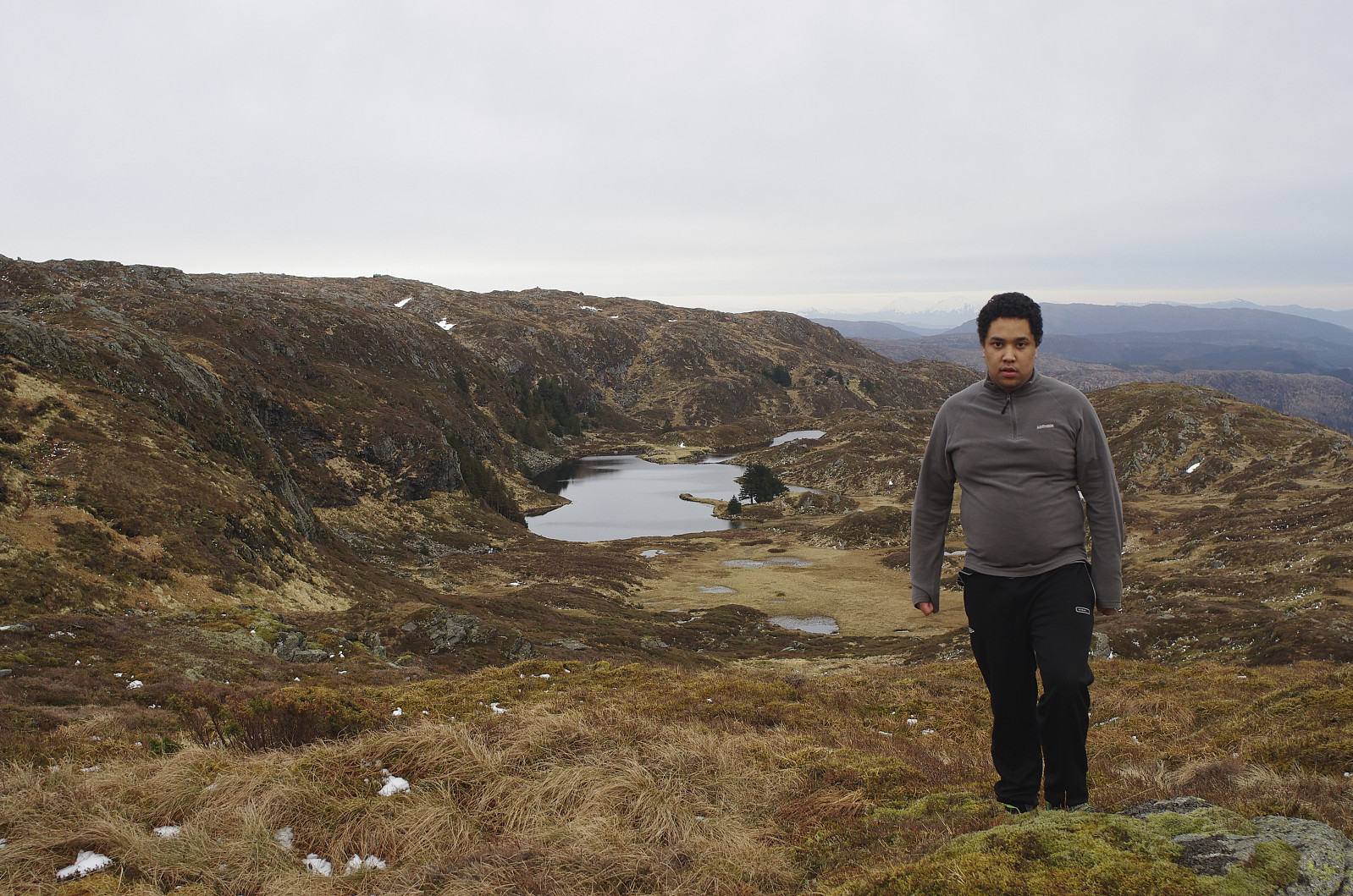
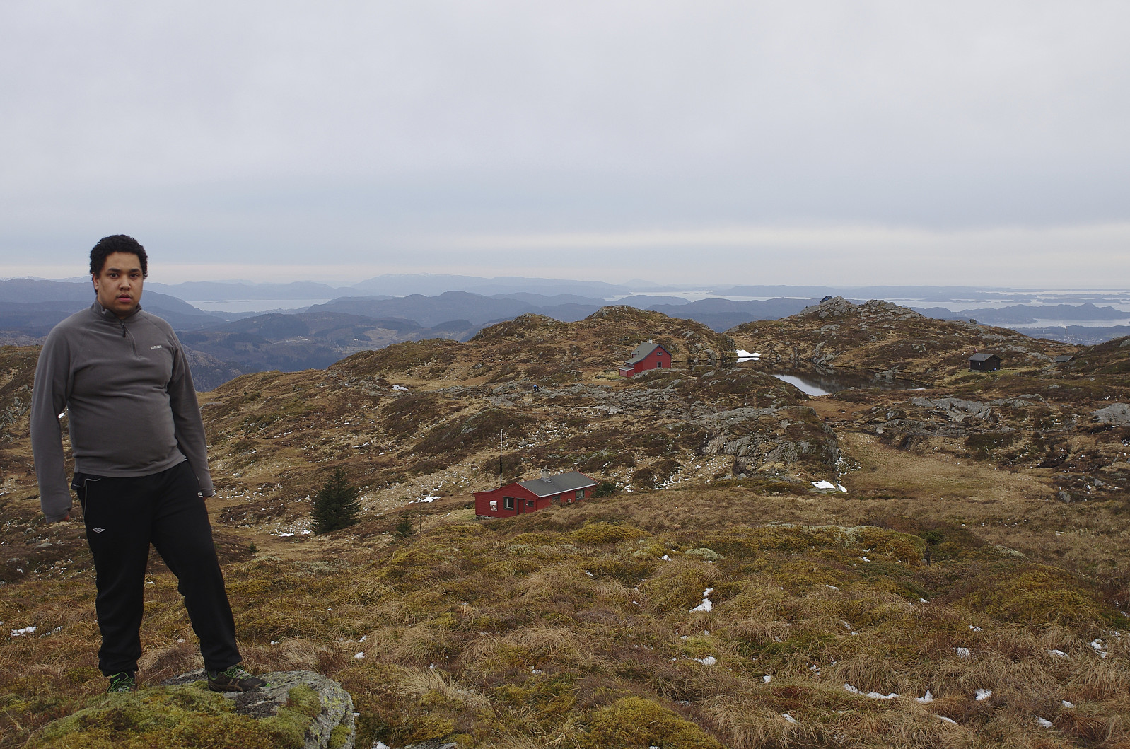
On the summit of the mountain, we shot even more photos (images ## 6 & 7), and then we embarked upon our decent. We descended along a different route, along which some idillic lakes are located (images ## 8 & 9).

Kommentarer