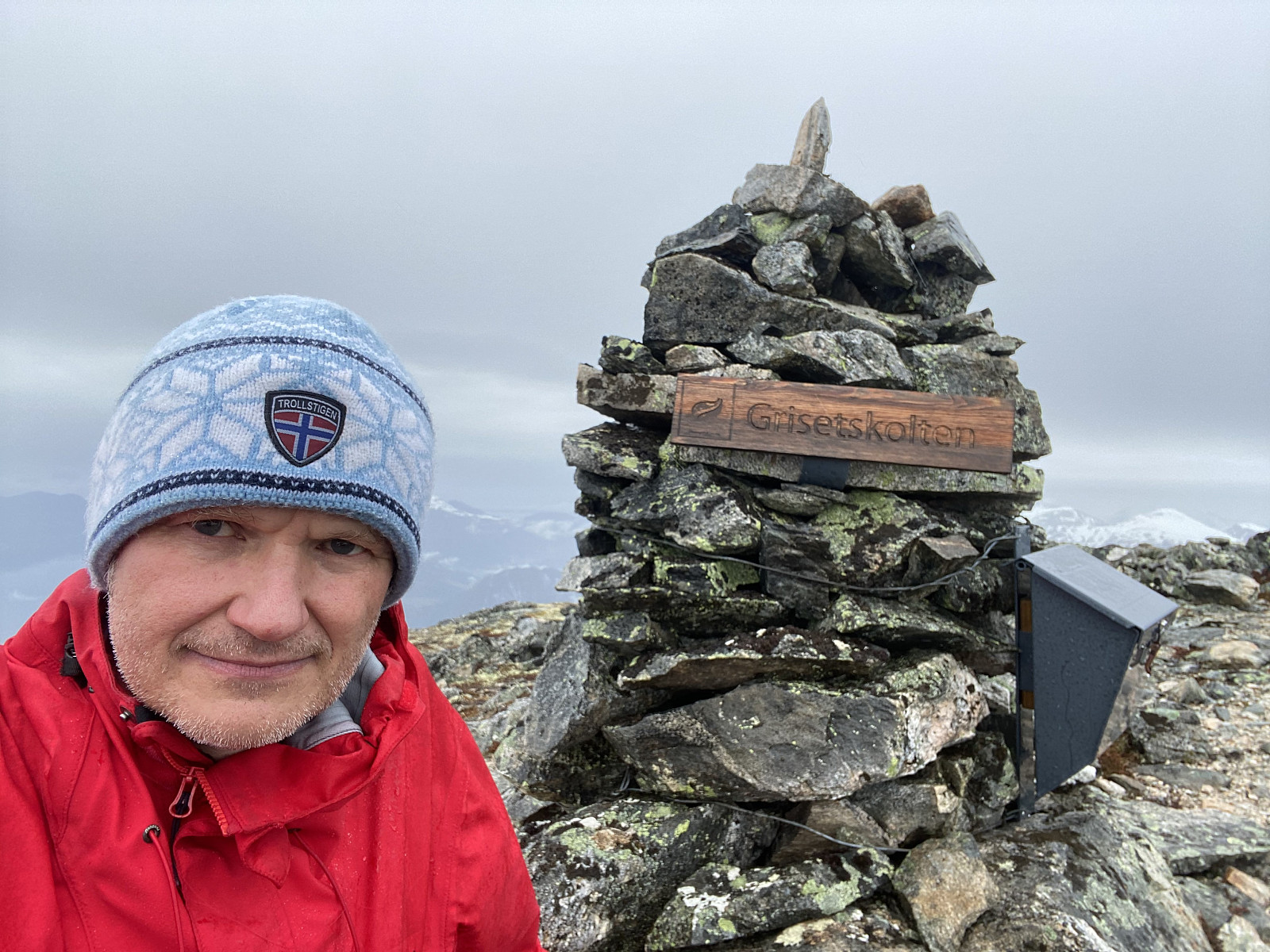
Hiking to Mount Grisetskolten with my Son (16.05.2021)

| Characteristic | Hike |
|---|---|
| Duration | 4h 05min |
| Distance | 7.7km |
| Vertical meters | 984m |
| GPS |
|
| Ascents | Grisetskolten (1,068m) | 16.05.2021 14:48 |
|---|---|---|
| Visits of other PBEs | Grisetbakken parkeringsplass (135m) | 16.05.2021 14:48 |
Mount Grisetskolten [1068 m.a.m.s.l.] is a mountain in the municipality of Rauma, in the county of Møre & Romsdal on the west coast of Norway. I have previously visited a number of mountains in this area, but not Mount Grisetskolten. My son, however, had visited it once before; and so on this Sunday, he offered to take me there.
Video #1: Waterfall of the Tverråa River.
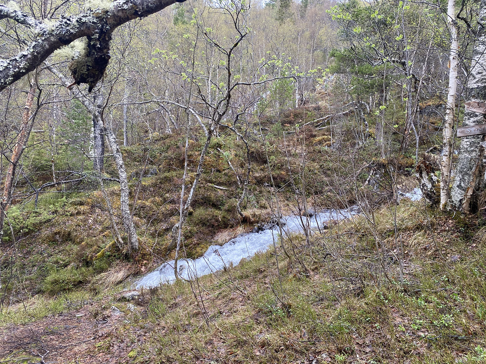
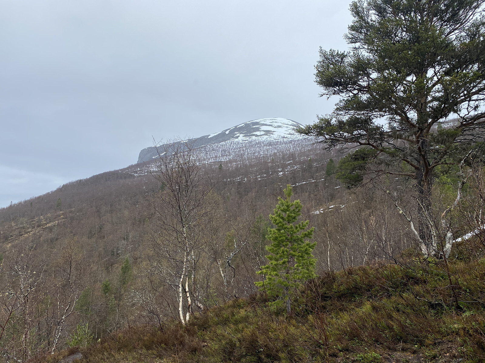
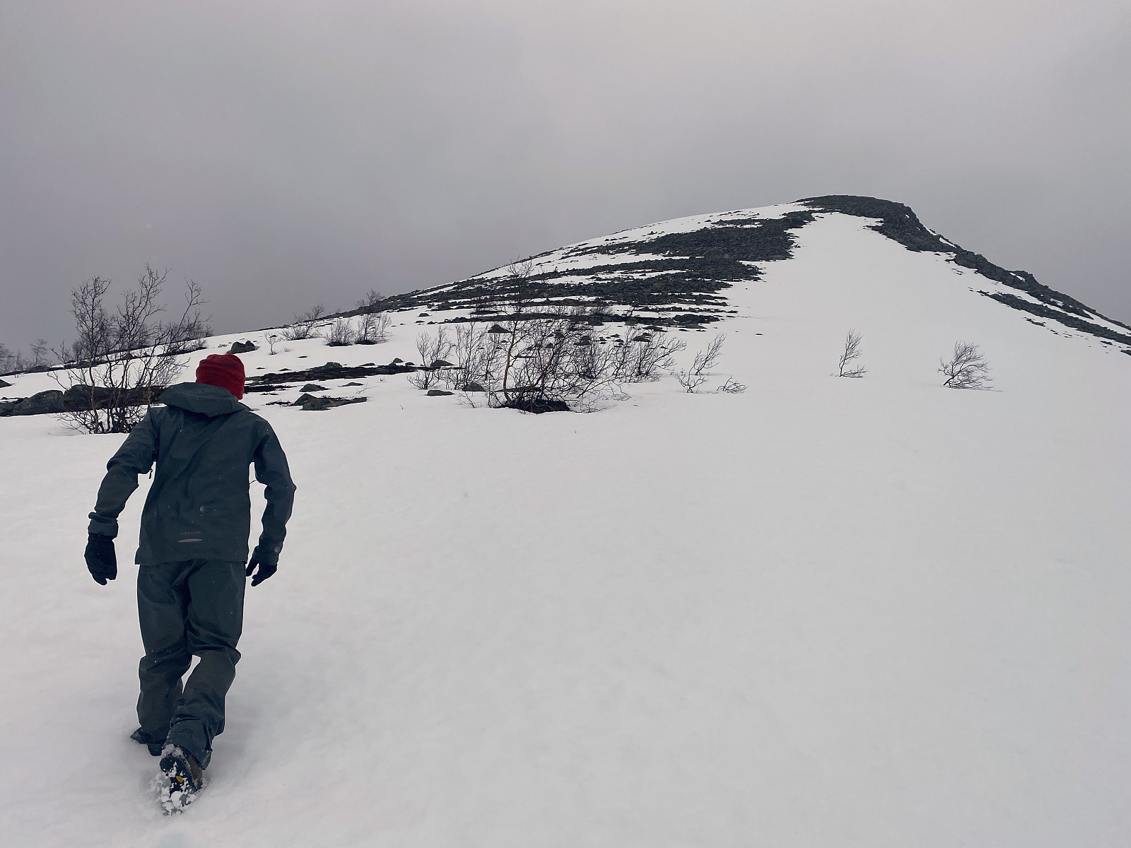
We went by car to the fjord called Innfjorden, and drove up the mountain side along a narrow forest road, that took us up to a little parking lot above a farm called Griset, after which Mount Grisetskolten has actually been named. We started trekking almost immediately after we arrived there. The trail was well marked and the first part of it was also readily visible. The trail took us through forest, mainly birch forest, though there were also some coniferous tree; but the forest was no where so dense as to obscure the view of the top of the mountain that we were climbing (image #2).
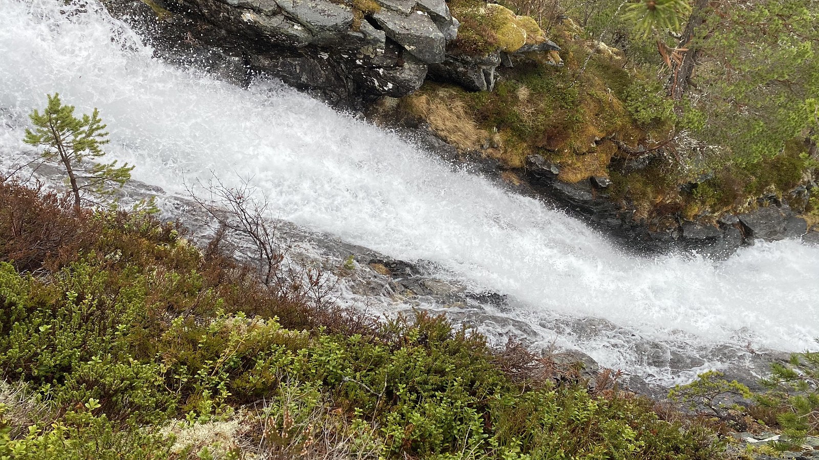
After a while we arrived at a splendid waterfall; where we captured a number of images (image #3), and also shot a short video (video #1). From about 600 m.a.m.s.l. we encountered snow. To begin with, it was just patches of snow in the trail in front of us, most of which could be bypassed by taking some steps to the side of the trail. The patches of snow became gradually more frequent, however, eventually coalescing into a continuous layer of snow that you couldn’t just circumvent. Moreover, the snow was wet an heavy, and we stepped right through it and into a pond or a creek of water beneath the snow for every third step or so. As we approached 700 m.a.m.s.l., the snow became gradually drier, however, and up here we only stepped through the snow for every tenth step or so.
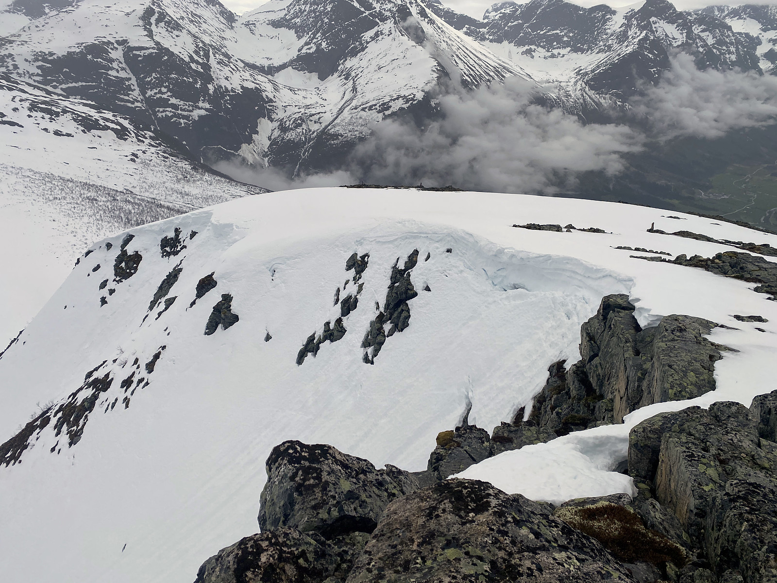
In this world of rotten snow, there was no way to actually follow the trail any longer, as we couldn’t see it. The mountain top was still visible, however, and it didn’t really matter whether we were following the trail or not, as the snow through which we were struggling was the same on the trail as elsewhere. At about 780 m.a.m.s.l. we arrived at a plateau, on which the trail to Mount Svartebotstinden goes in one direction, and the trail to Mount Grisetskolten goes in another. From this plateau, there is a ridge up to the summit of Mount Grisetskolten, and so we headed directly towards the ridge.
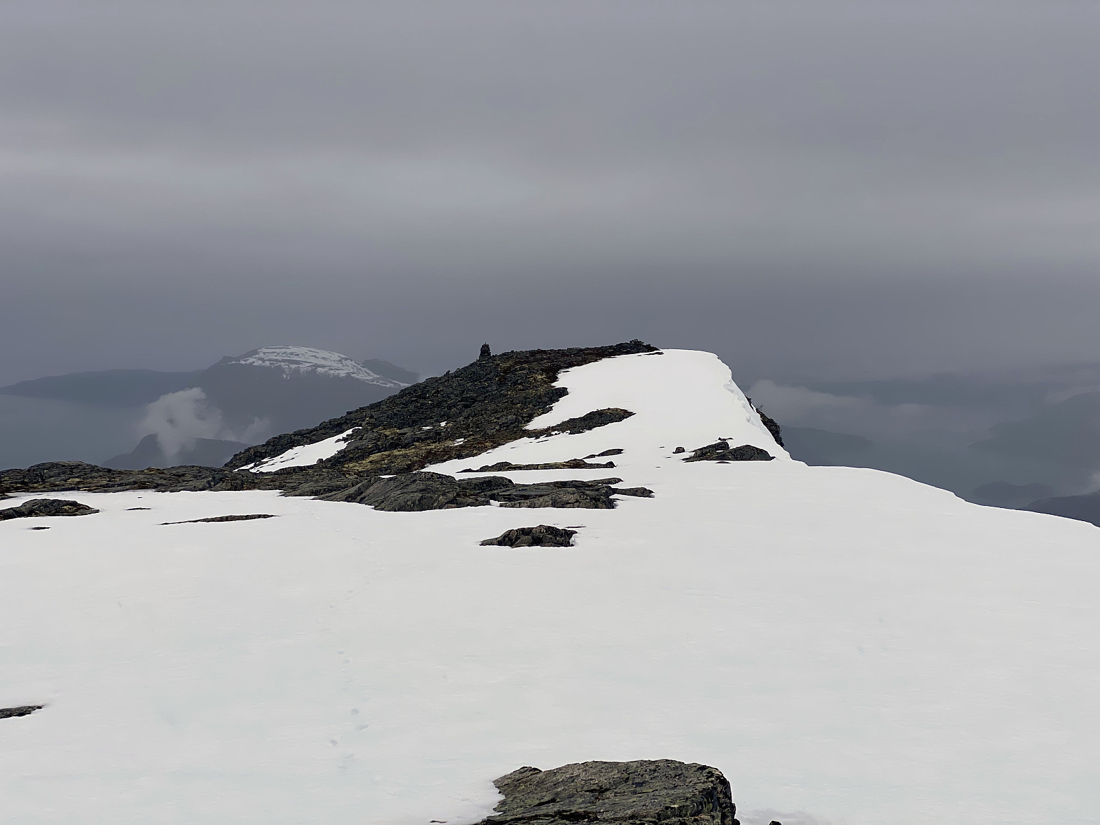
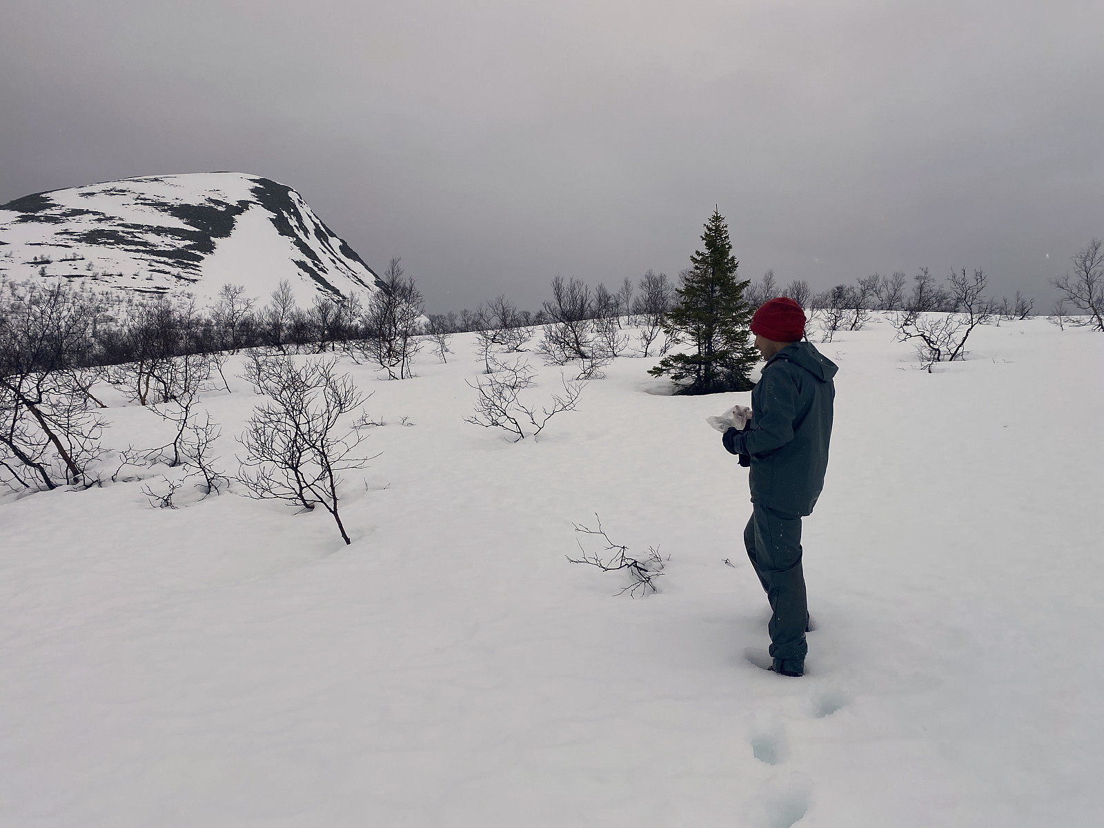
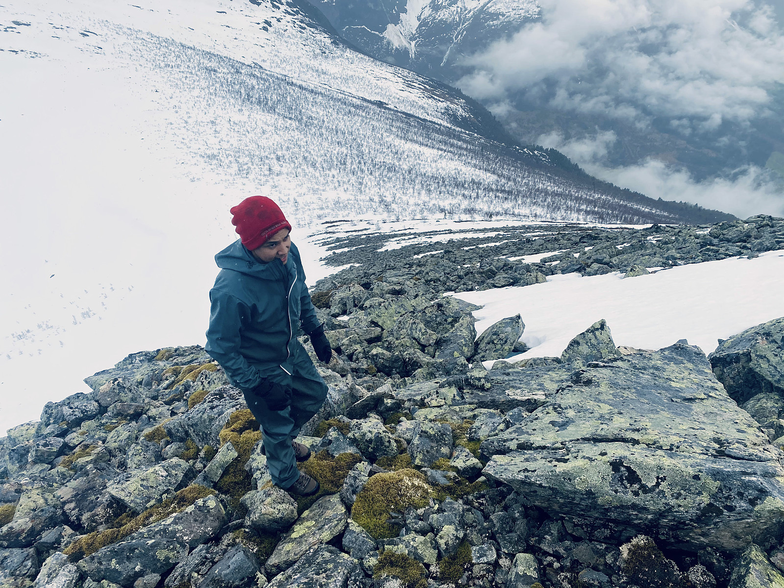
We soon arrived at the snow-free part of the mountain ridge (image #6), and started climbing upwards. My shoes were not suited for trekking through snow, and they were soaked by water by now, and so I sat down on a large stone, took the shoes off, twisted my socks for as much water as I could get out of them, and then got my socks and shoes back on. We regretted a bit that we hadn't brought our snow shoes with us in a backpack; but then there's no use crying over spilt milk, and so we just embarked upon the final climb of our trek.
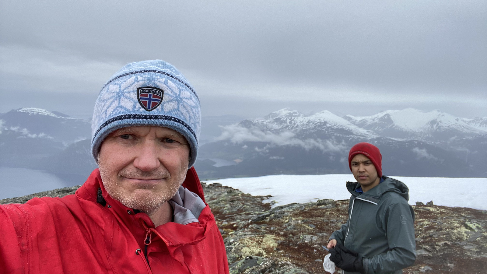
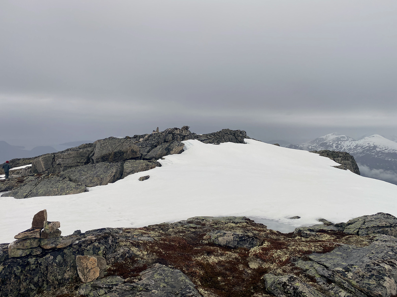
We didn't remain long on top of this mountain, we just shot some images, and then embarked upon our descent, in order not to get cold, and start freezing. Just as we had started our descent from the mountain, we came across a grouse, which took off as we approached it (video #2). In the upper part, i.e. along the previously mentioned mountain ridge, the mountain was steep enough that we could take advantage of the snow in order to get more quickly down from the mountain (video #3). From about 800 m.a.m.s.l. we had to start wading through the snow again, however, but we found our own trails from the ascent, and used them even for our descent, in an attempt at not stepping right through the snow as we had done multiple of times during our ascent.
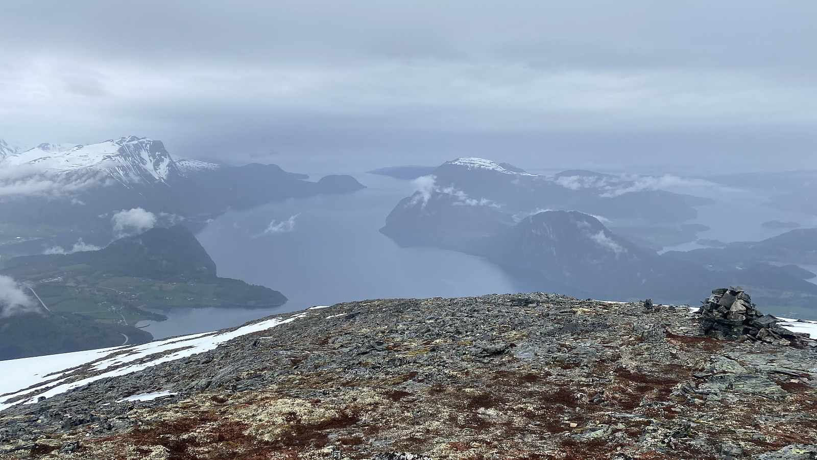
![Image #13: View towards the valley of Haugabotnen, and the mountains of Kongen [The King], Dronninga [The Queen] and Mount Finnan.](https://images1.peakbook.org/images/14939/Solan_20210519_60a5783dc636e.jpg?p=xtralarge)
![Image #14: View of the valley of the fjord called Innfjorden [i.e. "Innfjord-dalen Valley"]. It's almost summer in the valley, but still winter in the mountains.](https://images1.peakbook.org/images/14939/Solan_20210519_60a578d25adad.jpg?p=xtralarge)
We were soon below the snow limit, however, and from there the marked trail was again easy to find, and so we followed it back down to our car, and started driving back home.
Video #2: A grouse that we came across near by the summit of Mount Grisetskolten.
Video #3: Making our way back down by sliding on the snow.

User comments