Alpine Tour Skiing to Mount Bergsetnakken (06.02.2021)

| Start point | Stryn Leirskule (508m) |
|---|---|
| Endpoint | Kjennhaugmyra Parkering (489m) |
| Characteristic | Randonnée/Telemark |
| Duration | 2h 45min |
| Distance | 7.2km |
| Vertical meters | 779m |
| GPS |
|
| Ascents | Bergsetnakken (1,133m) | 06.02.2021 |
|---|---|---|
| Visits of other PBEs | Kjennhaugmyra parkering (490m) | 06.02.2021 14:21 |

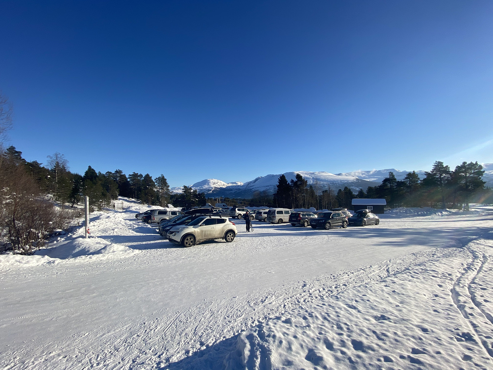
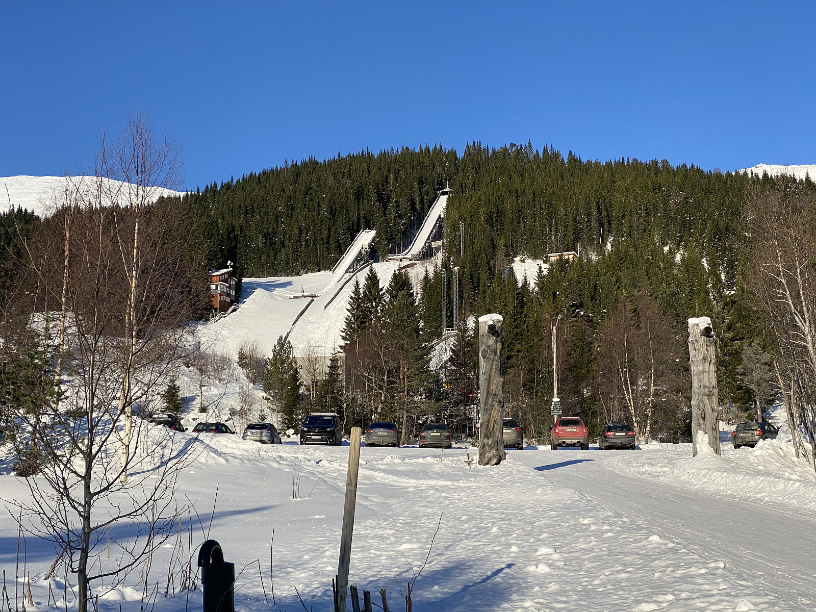
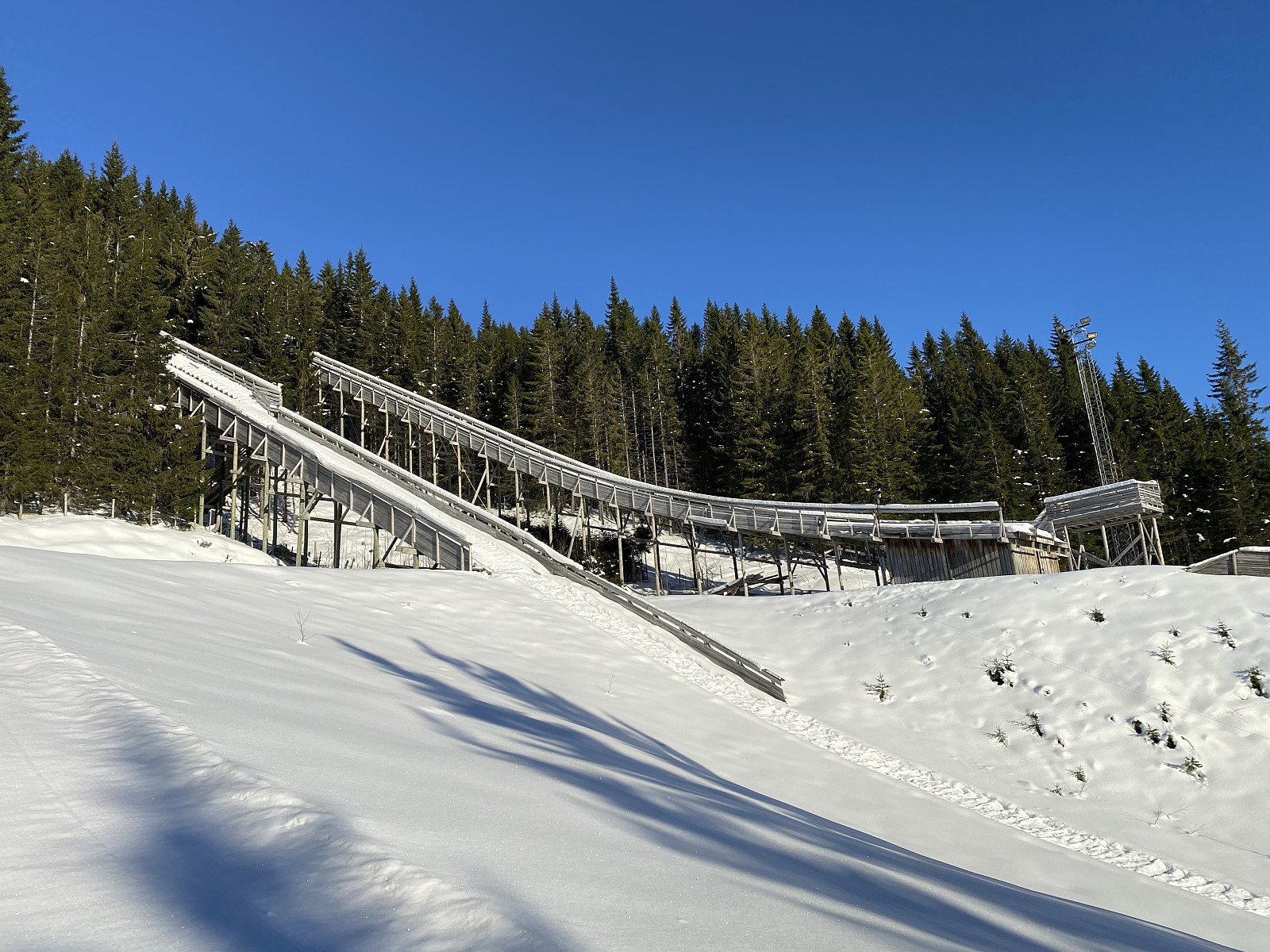
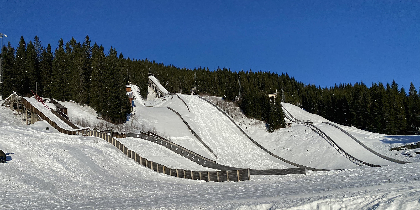
For this day, my son had suggested we visit a mountain called Bergsetnakken, located in Stryn Municipality in the county of Vestland. And so took the roughly 3 hours drive by car, and arrived at Blaksæter in Stryn, where we parked our car at Kjennhaugmyra Parking Lot. The location was indeed very nice. After leaving County road 698, which follows the fjord called Nordfjord, you climb up the mountainside by car, following a rather narrow farmland road that has a number of hairpin bends; and then all of a sudden you're there. Stryn Winter Camp School is located in a building at this site, and in the slopes above it, Bjørkelibakken Ski Jump Arena is located (Images ## 3, 4 & 5).
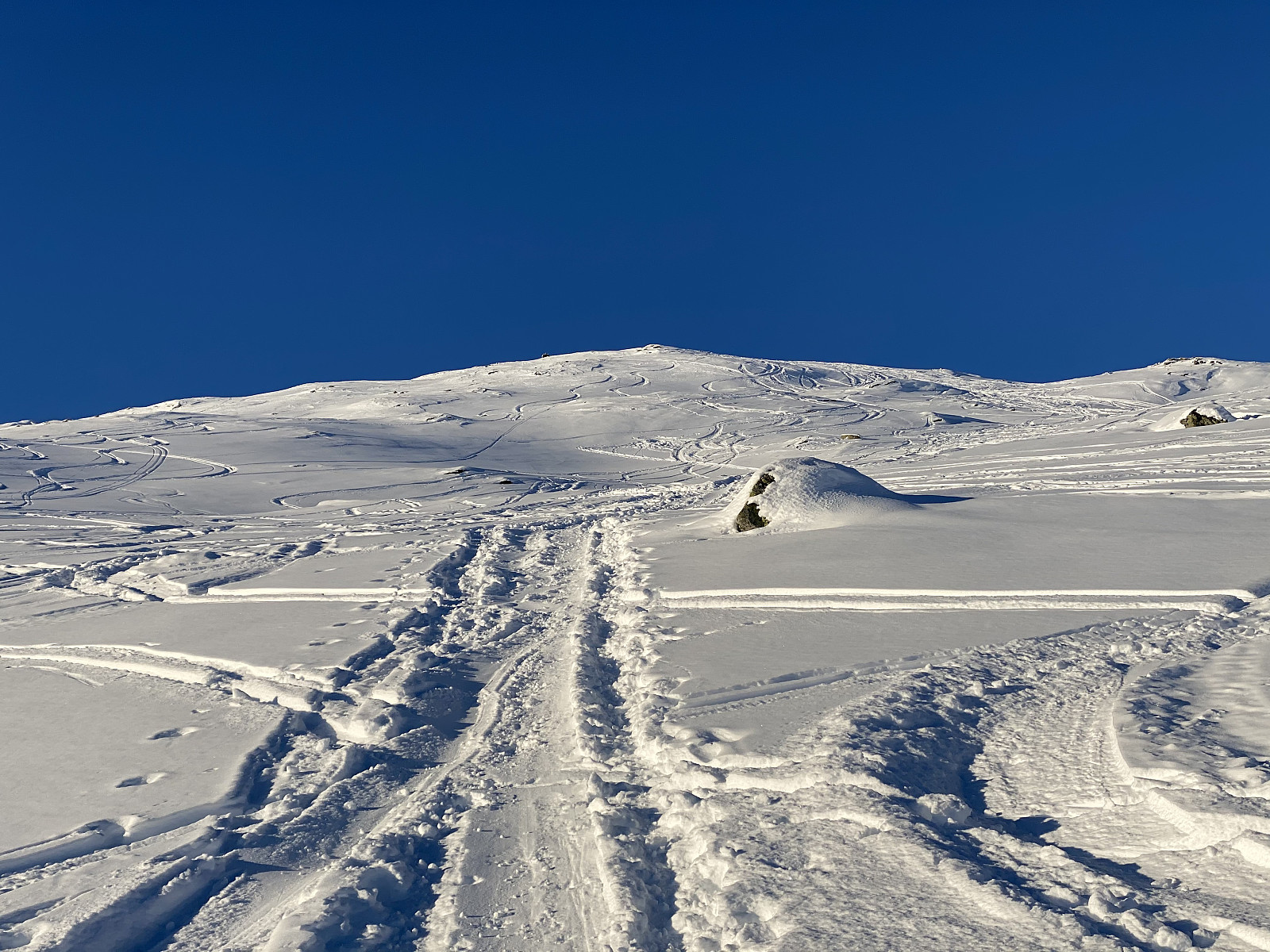
We put our boot and skis on, and started going upwards to the left of the ski jumps. At one point we must've missed the proper route, however, as we all of a sudden found ourselves in a dense forest; mainly a birch forest, though it also had some conifers. We somehow made our way through the forest, though, and soon enough we were in the open landscape above the forest, enjoying the nice snow (Images ## 6 & 7)
We took a route a little bit to the east, in order to make our climb less steep, compared with the climb that we would have had if we had been heading directly towards the summit of the mountain. After a while, we run into some ski trails that went west towards the area just below the summit, and so we followed these trails upwards. According to the forecast, there was a substantial risk of avalanches in the area on this day, but the route from Blaksæter up to Mount Bergsetnakken is nowhere so steep as to pose any threat in this respect.
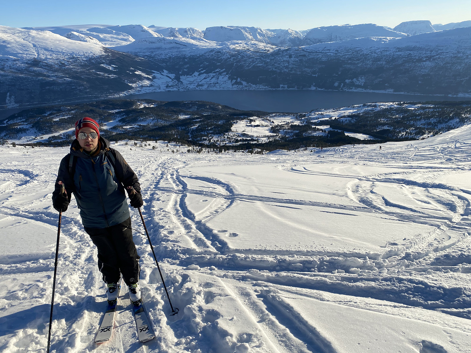
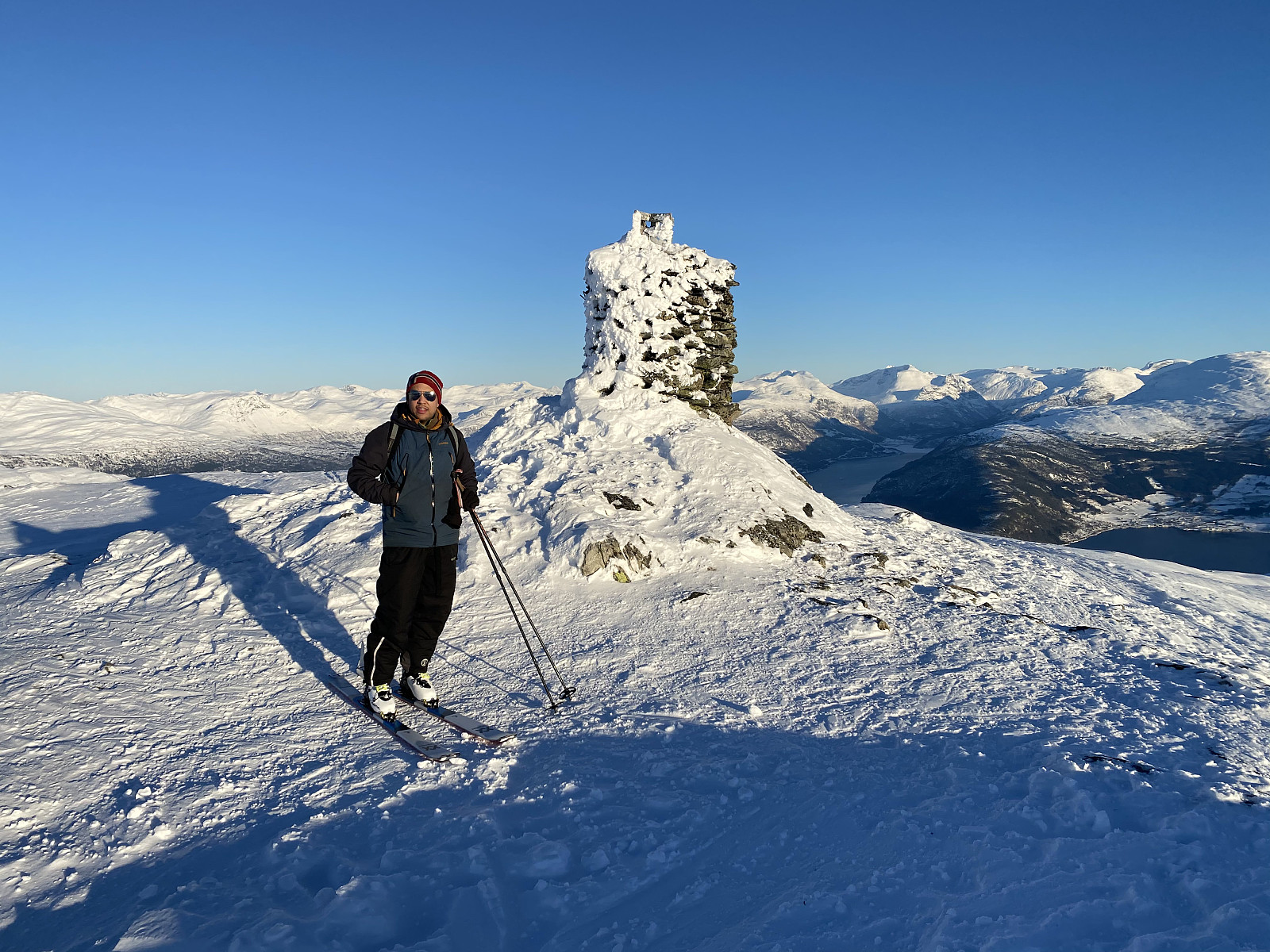
On the summit we captured some images of the beautiful view, before we removed the skins from underneath our skis, and headed back down towards the parking lot and our car. We now chose a route a bit west of the one along which we had ascended the mountain, as the snow seemed to be more untouched in that area. And the snow was just as good as it seemed to be, at least in the upper parts of the mountain; where it was powder-like and perfectly suited for downhill skiing. Lower down in the mountainside, the snow was wetter, but still not bad. As we approached the dense forest above the ski jump arena, we followed some ski trails west of the forest that we had gone through when climbing. These trails led us into a river gorge, though; where skiing was quite challenging, but extremely funny. After a few minutes we were back down by our car, and embarked upon our drive back home.
![Image #10: View over the nearby Mount Heida [994 m.a.m.s.l.] towards the outer parts of the fjord of Nordfjord.](https://images1.peakbook.org/images/14939/Solan_20210508_6096e25a355ab.jpg?p=xtralarge)

User comments