Alpine Tour Skiing to Mount Hesten (27.03.2021)

| Turlengde | 5t 22min |
|---|---|
| Distanse | 12,1km |
| Høydemeter | 1855m |
| GPS |
|
| Bestigninger | Hesten (1611moh) | 27.03.2021 |
|---|---|---|
| Andre besøkte PBE'er | Gjølbotsdalen p-plass (380moh) | 27.03.2021 10:16 |
| Herdslan parkeringsplass (355moh) | 27.03.2021 10:16 |
![Image #2: Snow was a bit scarce in the lower parts of the route up to Mount Hesten [i.e. "The Horse"], due to rain and thawing during the last weeks. Nevertheless, along the trail, where people have been skiing, it was still sufficient.](https://images1.peakbook.org/images/14939/Solan_20210330_6062f849139b8.jpg?p=xtralarge)
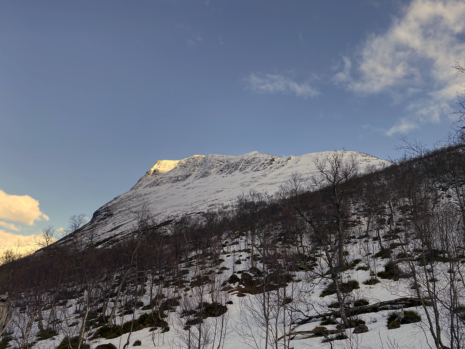
My son and I tried to reach the summit of Mount Hesten [i.e. “The Horse”] on skis even some weeks ahead of this day’s skiing tour, but as we started out too late in the afternoon, and darkness also came very early at that time of the year; we only reached a viewpoint on the west ridge of the mountain on that day. [For a description of that tour, follow this link: Attempt at Ski Touring to Mount Hesten in Rauma Municipality ]. On this day, therefore, we started driving from home much earlier, in order to get an earlier start; and combined with the slightly longer days that we have by now, we believed it should be easier to reach the summit on this day.
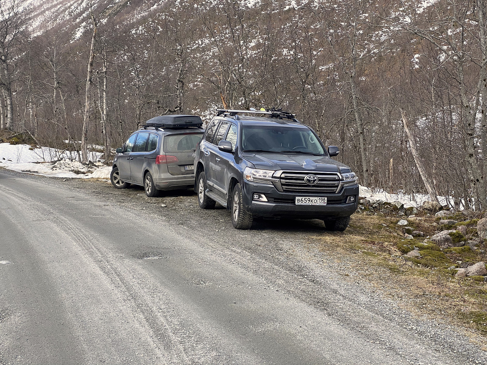
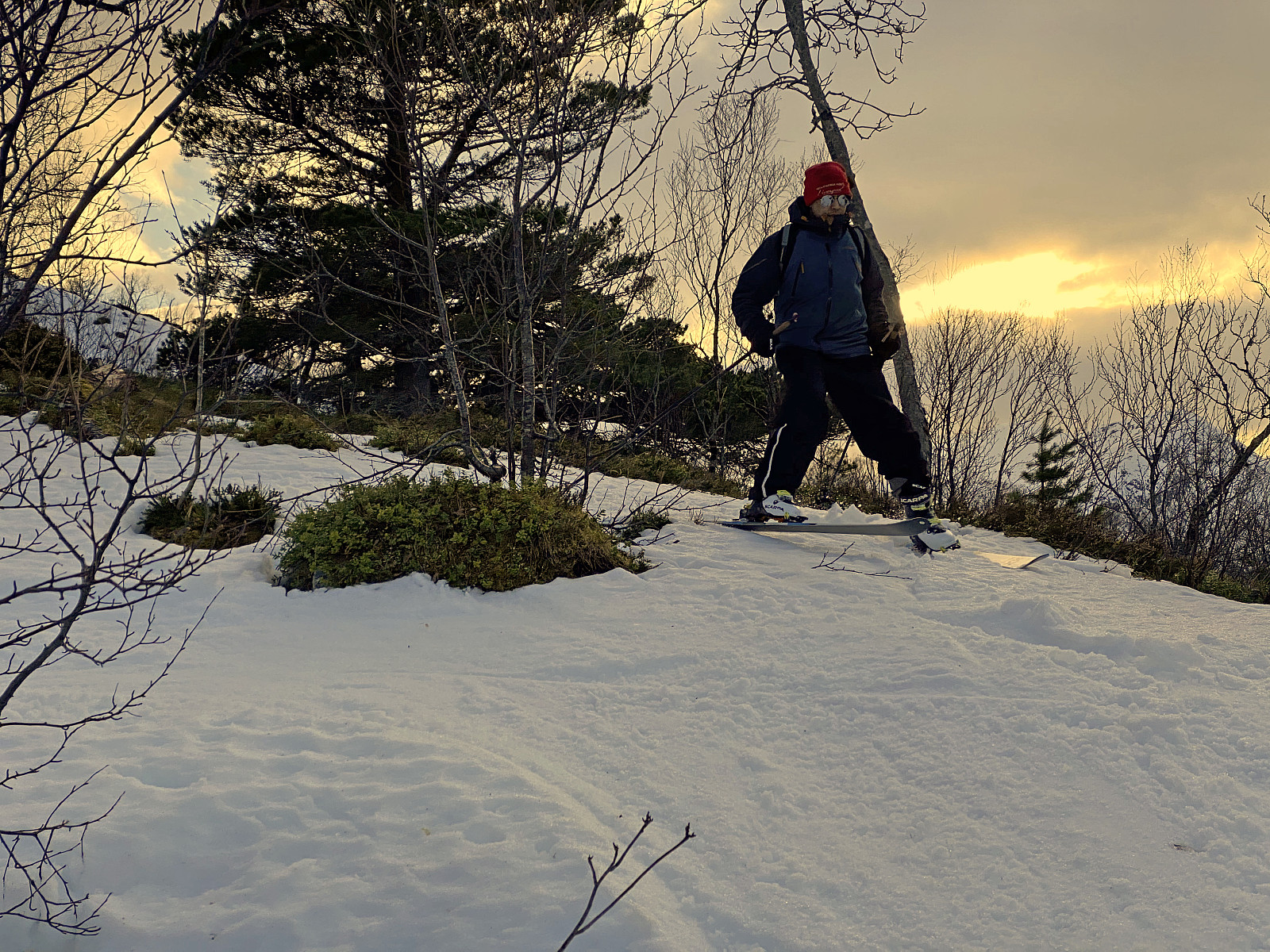
We parked at Herdslan Parking Lot as on the previous occasion, but on this day there was not much snow in the forest along the road; and so we carried our skis, and walked up to another parking lot, called Gjølbotsdalen Parking Lot, a little further up the valley. We had been up there by car a few minutes earlier, looking for a vacant parking spot up there; but as that parking lot only has sufficient space for two cars (image #1), we had ended up with driving back down to the first parking lot, which is much larger, with much more abundant space. Anyway, while up there looking for a parking spot, we had noticed there was a nice trail right from the road up the mountainside, with sufficient snow even from the very starting point (image #2).
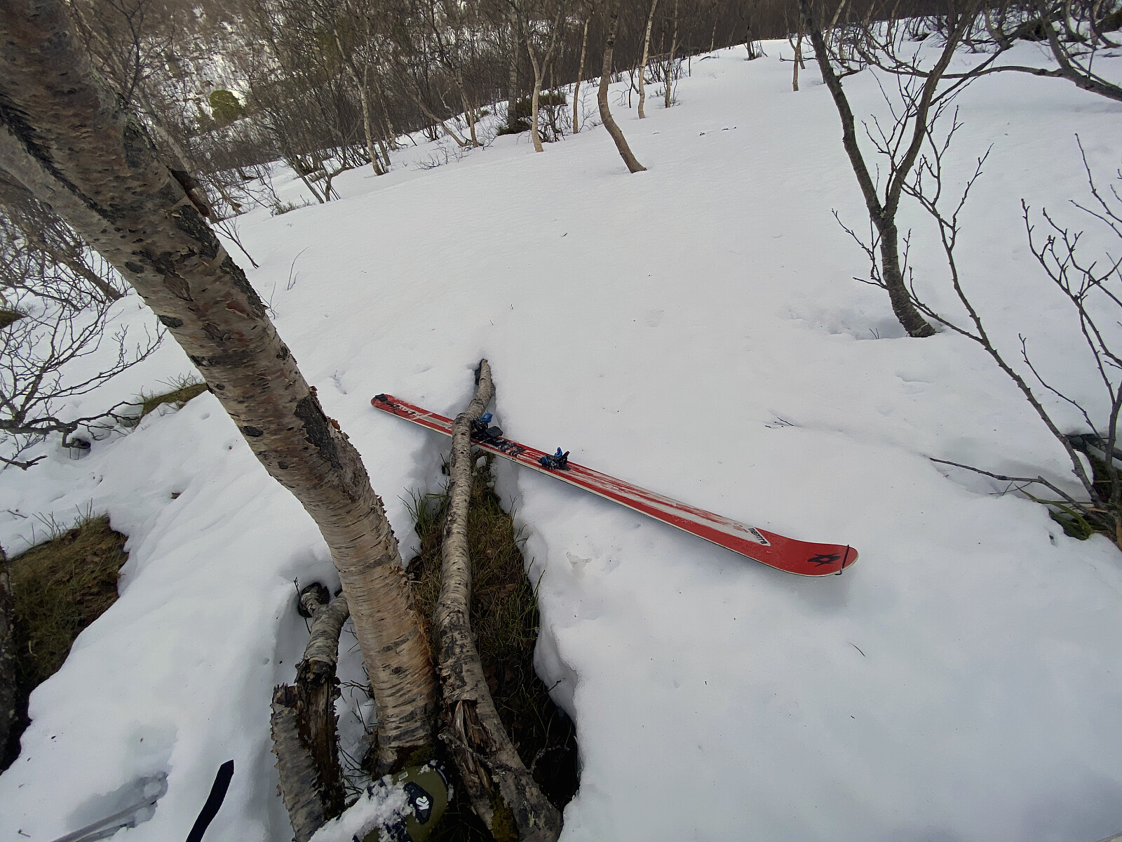
We put our skis on, and started skiing up the trail. A number of people had gone before us on this day, so we had quite nice skiing trails to follow. The snow was much harder than on our previous tour on this mountain, and at places it was even a bit icy. The trail became gradually steeper, and soon we had to go zigzagging up the mountainside. At one turn, as I was trying to plant my right ski hard into the snow in order not to start sliding; the binding all of a sudden left my boot; and the ski started sliding downwards. Luckily, however the ski was caught by the branch of a tree (image #4), and so I just had to go back down 20 meters or so, and then put the ski back on.
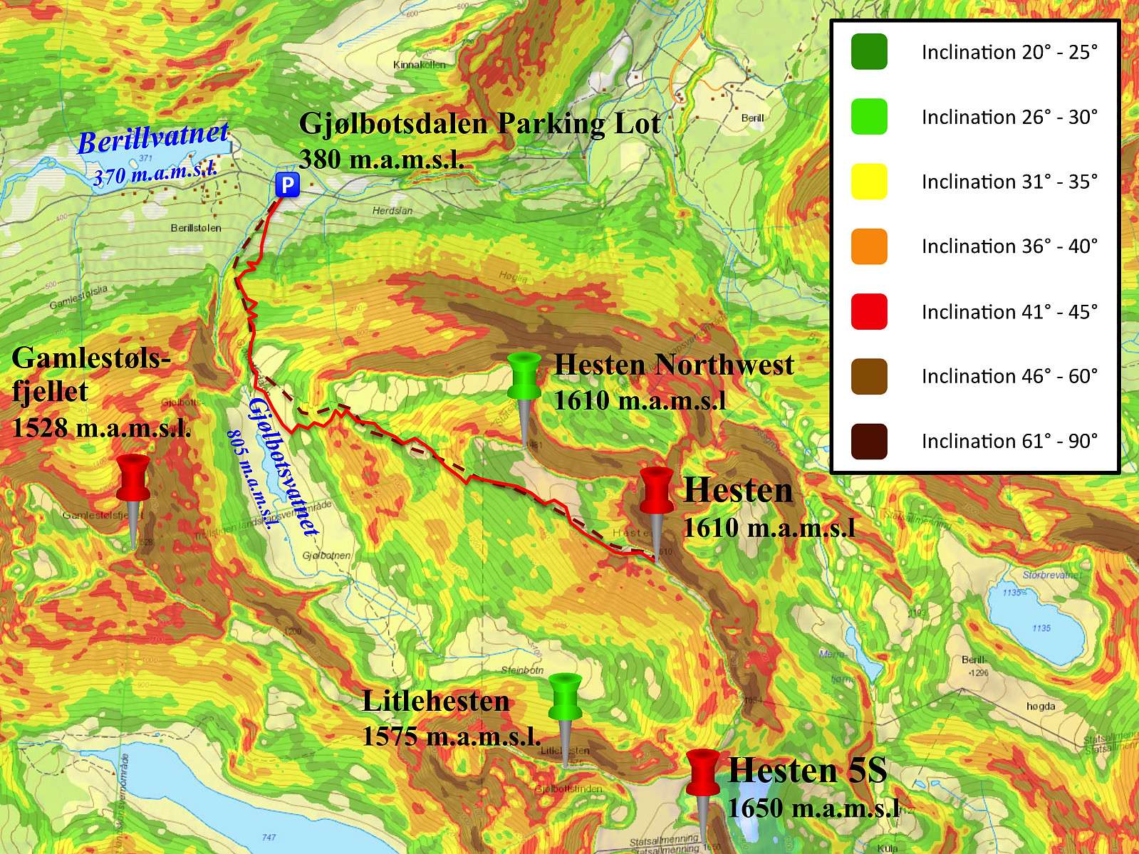
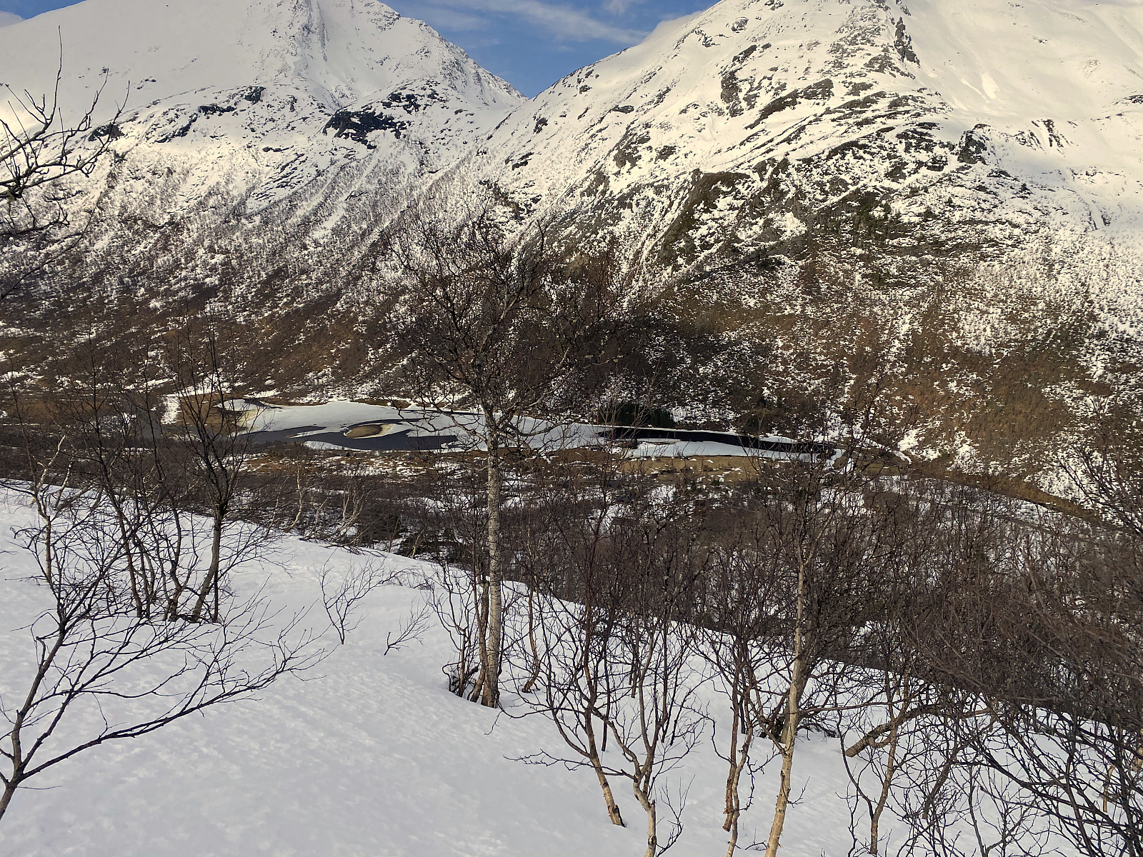
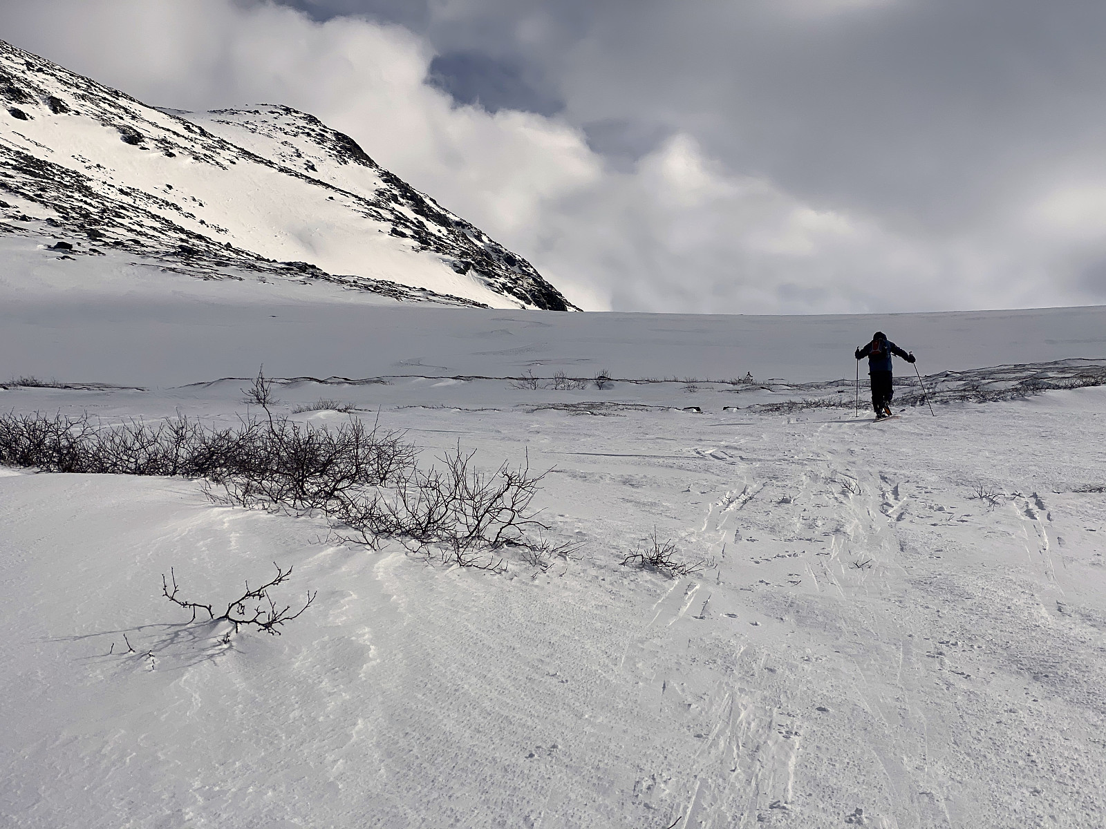
We tried to follow the route along which even the summer trail up this mountain goes, as this route is generally not too steep (i.e. it's less that 35°); and so by choosing that route (image #3), you generally avoid the risk of avalanches. At about 800 m.a.m.s.l. you enter into a hanging valley called Gjølbotnen (image #6), and as we arrived there, we realized we would have to continue a bit east of the trail we had planned to follow; as much of the snow had blown away from the route/trail between 800 and 1000 m.a.m.s.l. This meant that we were forced to climb a short segment with an inclination >35°. There wasn't very much snow even there, however, and so I regarded it unlikely that there was going to be an avalanche at this time. Moreover, a number of others had just climbed these slopes on skis less than one hour in front of us without causing an avalanche; and so I felt pretty safe about continuing.

![Image #10: At the summit of Mount Hesten [1610 m.a.m.s.l.]. In the background its seen the northwest peak of the mountain [1481 m.a.m.s.l.], and behind that peak is seen Mount Nonstinden.](https://images1.peakbook.org/images/14939/Solan_20210401_6066254f1b1ba.jpg?p=xtralarge)
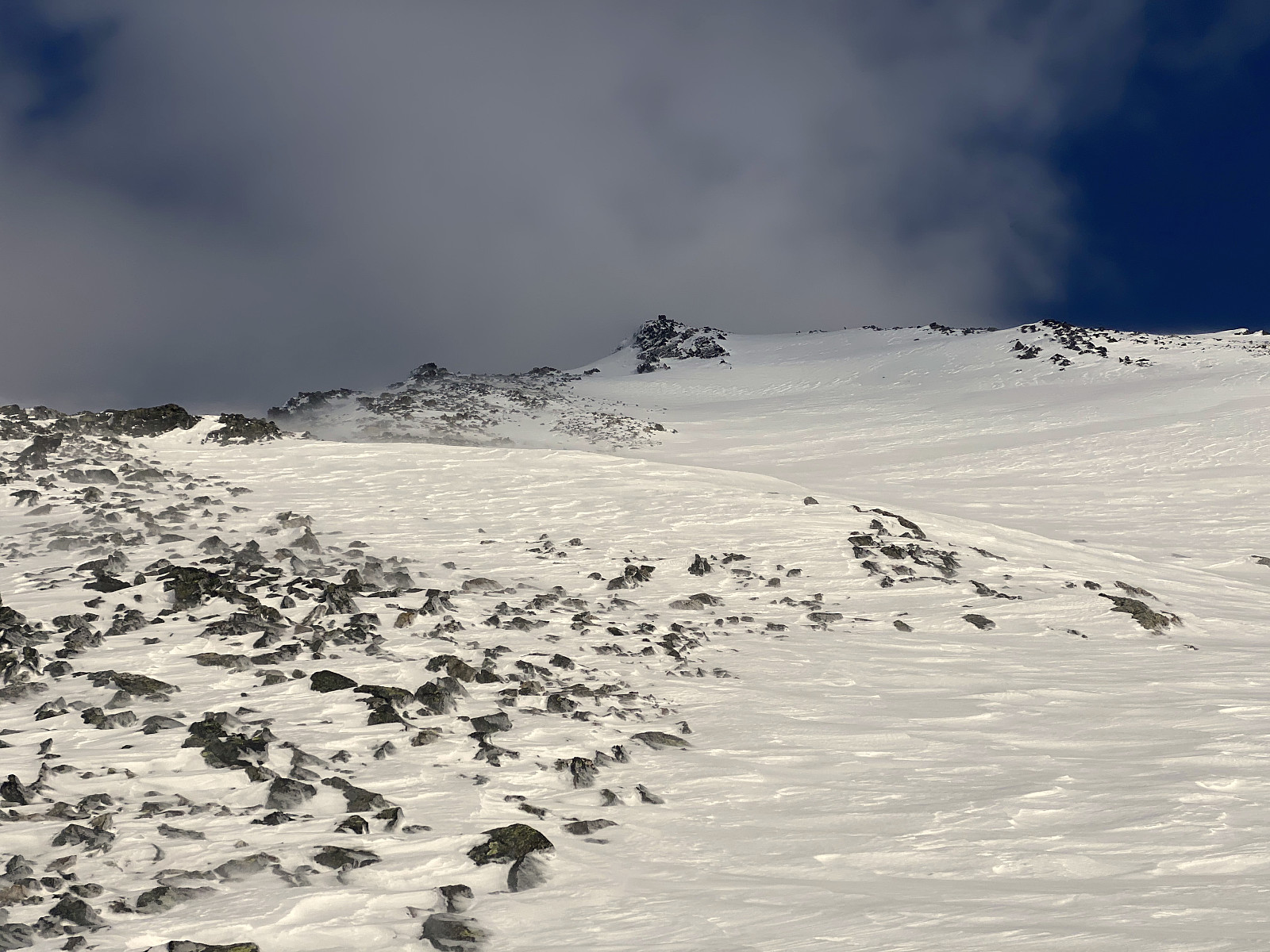
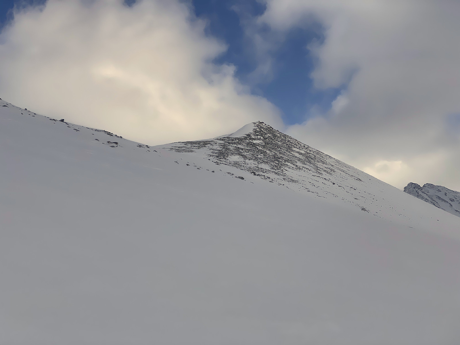
We past beneath the viewpoint where we had turned around on our last visit to this mountain (image #7), and as we were approaching the edge of the western ridge of the mountain; the summit gradually came into view (image #9). As we reached the edge, the snow became extremely icy; it was just as if the wind had polished the snow down so that only an extremely hard layer remained on the ground. We somehow managed to get over to the other side of the ridge; and there it was a bit easier to continue, as there was a 5 cm thick layer of wind transported snow on top of the harder layers (image #9).
![Image #11: View from Mount Hesten towards the fjord called Romsdalsfjorden, and towards Mount Skjervan [1545 m.a.m.s.l.], Mount Grisetskolten [1068 m.a.m.s.l.] and Mount Gråfonnfjellet [1080 m.a.m.s.l.].](https://images1.peakbook.org/images/14939/Solan_20210402_60677c5ab3037.jpg?p=xtralarge)
![Image #12: View from Mount Hesten towards the east. Just left of the centre of the image is Mount Finnan [1786 m.a.m.s.l.], and just right of the centre is Mount Alnestinden [1665 m.a.m.s.l.], an all time favorite peak among tour skiers.](https://images1.peakbook.org/images/14939/Solan_20210402_60677fc13ec18.jpg?p=xtralarge)
We eventually arrived at the summit, and we really had a magnificent view up there. To the east we could see Mount Alnestinden and Mount Finnan (image #12), and to the north we had a nice view towards the fjord of Romsdalsfjorden. We shot some photos up there, before removing the skins beneath our skis, and embarking upon the tour back down to the car.
![Image #13: "Selfies" being secured by the cairn on top of the mountain. Romsdalsfjorden Fjord is seen in the background, and Mount Skjervan [1545 m.a.m.s.l.] is partly visible behind my son.](https://images1.peakbook.org/images/14939/Solan_20210402_6067817c3f11c.jpg?p=xtralarge)
![Image #14: On our way back down from Mount Hesten. In the middle is seen the northwest peak of the mountain, and behind it is seen (to the left) Mount Nonstinden [1573 m.a.m.s.l.] and (to the right) Mount Middagstinden [1569 ma.m.s.l.].](https://images1.peakbook.org/images/14939/Solan_20210402_606782f4d8cfa.jpg?p=xtralarge)
The downhill part of our trip was rather uneventful, though there were some stones every here and there, just barely protruding thorough thee snow; so as to resemble shark fins that will destroy your skis. Nevertheless, we did manage to get back down to the car. The most challenging part of the descent was actually the steep slopes in the birch forest; i.e. where I had lost a ski while we were on our way up. At this part of the descent it would've been much easier had we had more snow, and had there not been so many trees.

Kommentarer