Ski Touring to Mount Snortungen [1193] (23.01.2021)

| Start point | Breivika (22m) |
|---|---|
| Endpoint | Breivika (22m) |
| Characteristic | Randonnée/Telemark |
| Duration | 5h 25min |
| Distance | 10.3km |
| Vertical meters | 1,237m |
| GPS |
|
| Ascents | Haukarhammaren (640m) | 23.01.2021 |
|---|---|---|
| Vest for Snortungen (1,193m) | 23.01.2021 | |
| Visits of other PBEs | Breivika p-plass (22m) | 23.01.2021 |
I have lately been ascending a number of mountains in the Rauma Municipality in the county of Møre & Romsdal in the western part of Norway. This municipality has a lot of nice mountains, and my intention has been to climb at least all those with an altitude of more than 1000 m.a.m.s.l. one by one. And so, on this day, I drove to the fjord called Isfjorden [i.e. “The Ice Fjord”] in Rauma, intending to climb Mount Snortungen, which has an altitude of 1198 m.a.m.s.l.

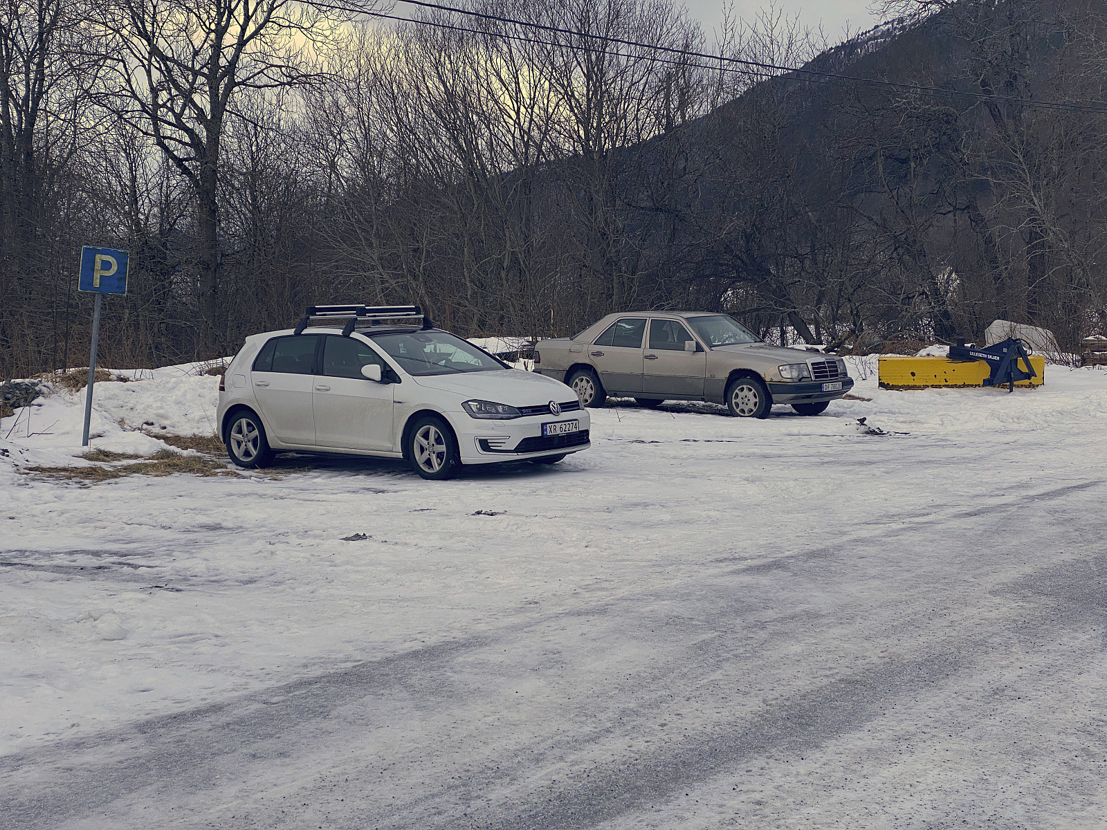
I parked at a parking lot at a location called Breivik. In Norwegian, the word brei means broad, and the word vik means bay; so the meaning of the name “Breivik” is simply “The Broad Bay”. (Now, there are many broad bays along the 2000 km coast line of Norway, and this particular one has no connection to the Norwegian terrorist with the name Breivik). The Breivika parking lot is located merely 22 m.a.m.s.l., and the special thing about the trail from there up to the summit of Mount Snortungen, is that you have to hike on foot up to about 500 m.a.m.s.l. before you can start skiing; as the trail up to that elevation is generally speaking too steep, and goes through a too dense forest, for skiing to be feasible. Moreover, at this time there was not enough snow for skiing in this part of the trail anyway, and if there ever is enough snow in these slopes, the risk of avalanches will probably be high.
![Image #6: In the river called Litleelva [i.e. "The small river"], there were frozen waterfalls at this time.](https://images1.peakbook.org/images/14939/Solan_20210319_6054eb7ceaefe.jpg?p=xtralarge)
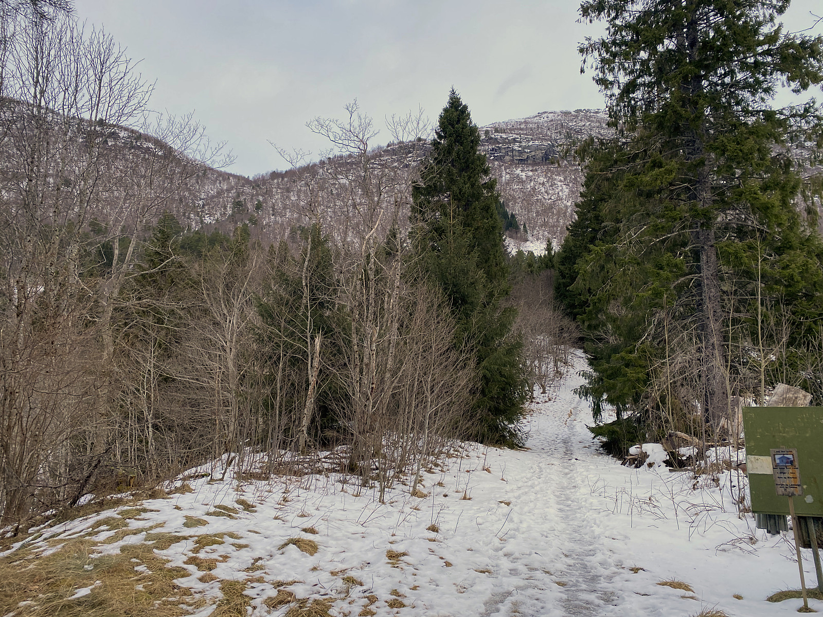
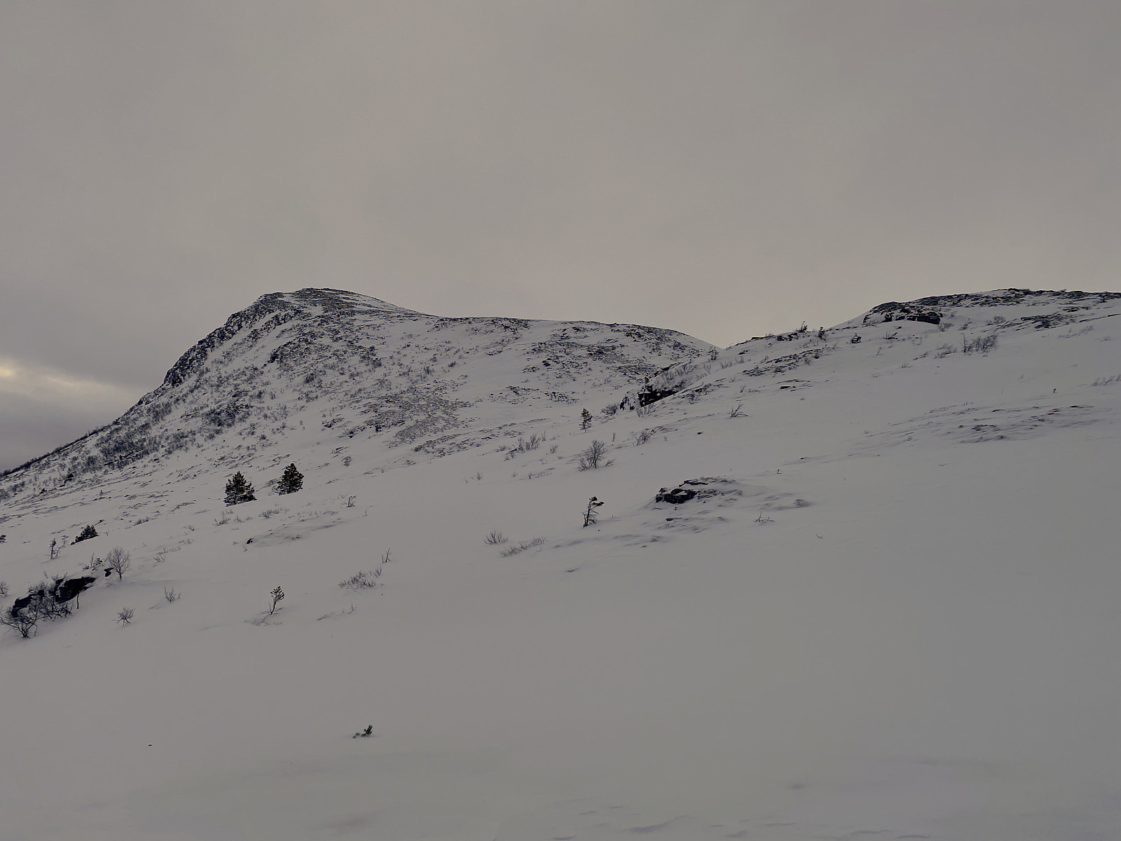
So, I started out with my skis and my ski boots mounted on my backpack (Image #4), and just trekked upwards the mountainside in more or less an ordinary fashion. I knew the trail was going to be icy and slippery at places, and so I had brought with me a set of crampons; which I had on from the vey start of the hike. Image #3 gives an idea of this part of the trail. The mountain in the left half of the image is Mount Breivikheia [950 m.a.m.s.l.], and the Mountain in the right half of the image is the part of Mount Snortungen that is called Haukarhammaren [640 m.a.m.s.l.]. Now, in order to ascend Mount Snortungen [1198 m.a.m.s.l.] from this start point, you have to walk/trek up to the bottom of the hanging valley between these two mountains; at about 500 m.a.m.s.l. before you can put your skis on and start skiing.
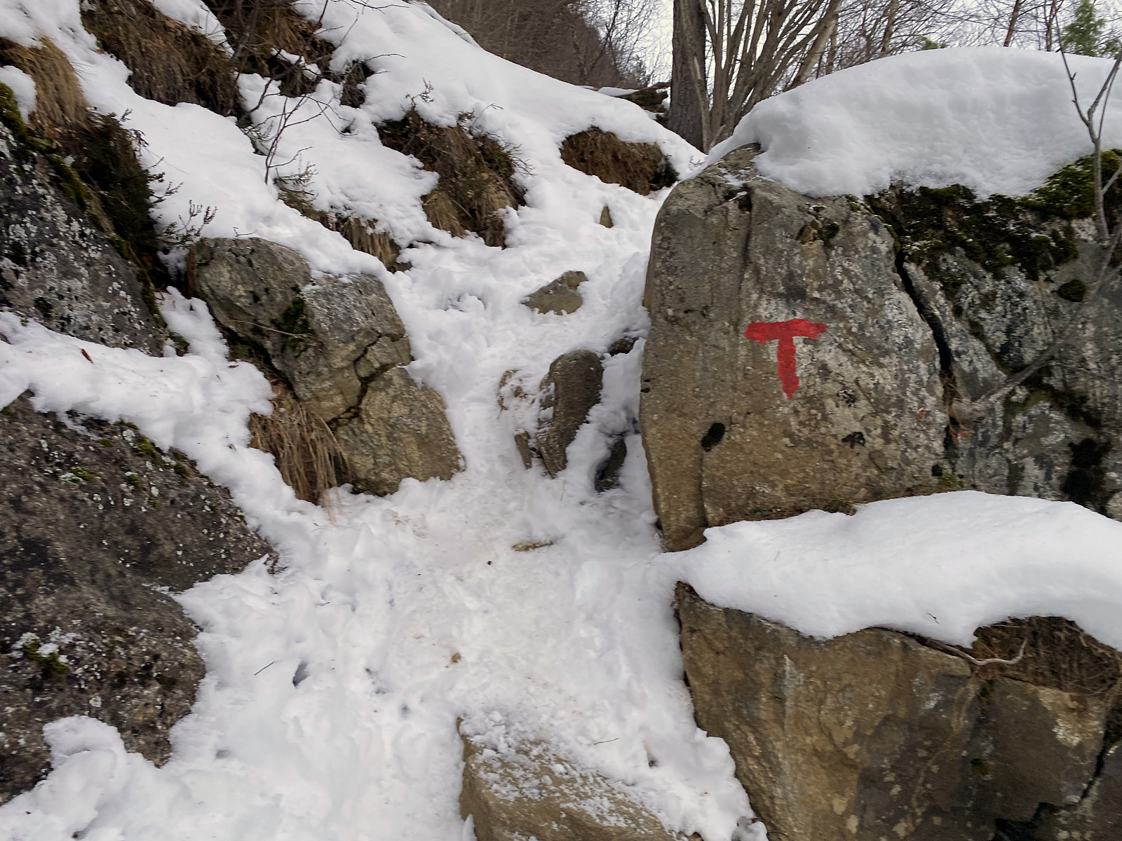
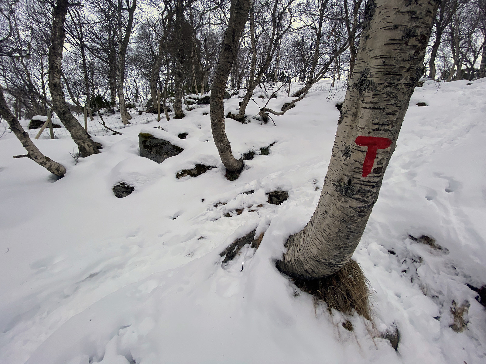
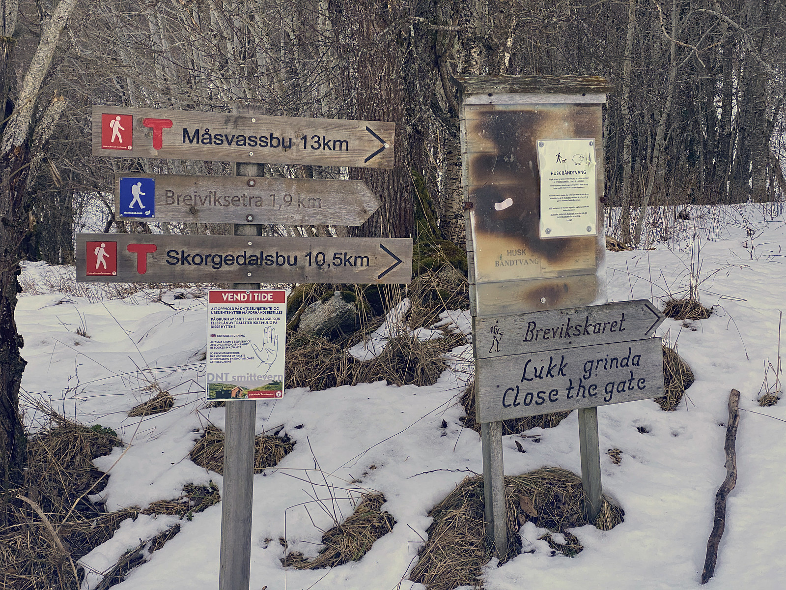
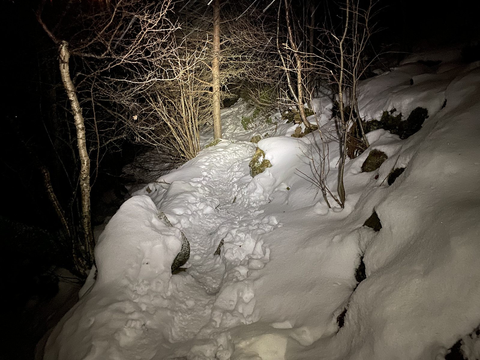
The trail up to the mentioned hanging valley is quite well marked by small red T's on stones and tree trunks (Images ## 7 & 8), and it pretty much follows a little river known as Litleelva, the meaning of which is The Small River. The river was frozen at this time of the year, though, and had I been into ice climbing, I might have made another trip to this site just to climb some of the frozen waterfalls in this river (Image #6). I've never been into ice climbing, however, so I dismissed the idea, and continued up the steep slopes.
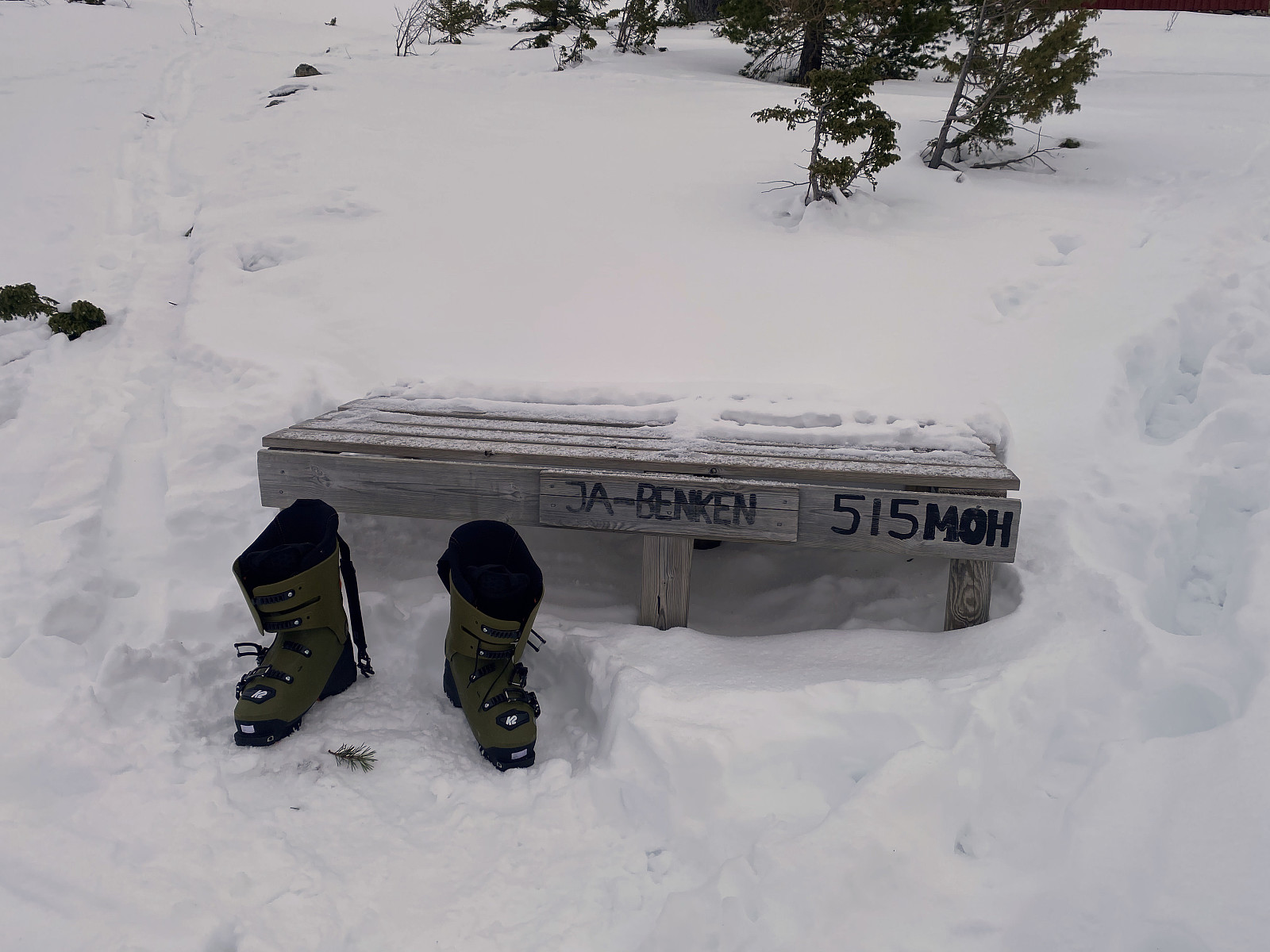

The moment you arrive at the edge between the main valley and the hanging side valley at 500 m.a.m.s.l., it's as if the side valley opens up, and exposes a little cabin field called Breivikstølen (Image #10). In ancient times, farmers in the area used to keep sheep and goats in the mountains during the summer months, allowing the grass in the lower valleys to grow, and eventually be stored in barns as winter fodder. Now, during the summer months, the sheep, and some places even the cattle; where taken care of by dairymaids that were living in small cabins in the mountains during the summer months. And many of the small cabins that you'll find at places like this, are the very same ones that the dairymaids once lived in, and made cheese, butter and other milk products during ancient summer days. Most of the cabins have later been modernized, however, and new ones have been added to the old ones; and today these cabins and cottages generally serve as holiday residencies for people living not too far away. A common use of such a cottage today, is to let is serve as a base, from which you may hike and trek the surrounding mountains. I sometimes wish I owned a cottage like that. On the other hand, however, when you don't have a cottage like that, you are less confined to a specific area, and thus more free to trek mountains in other areas.
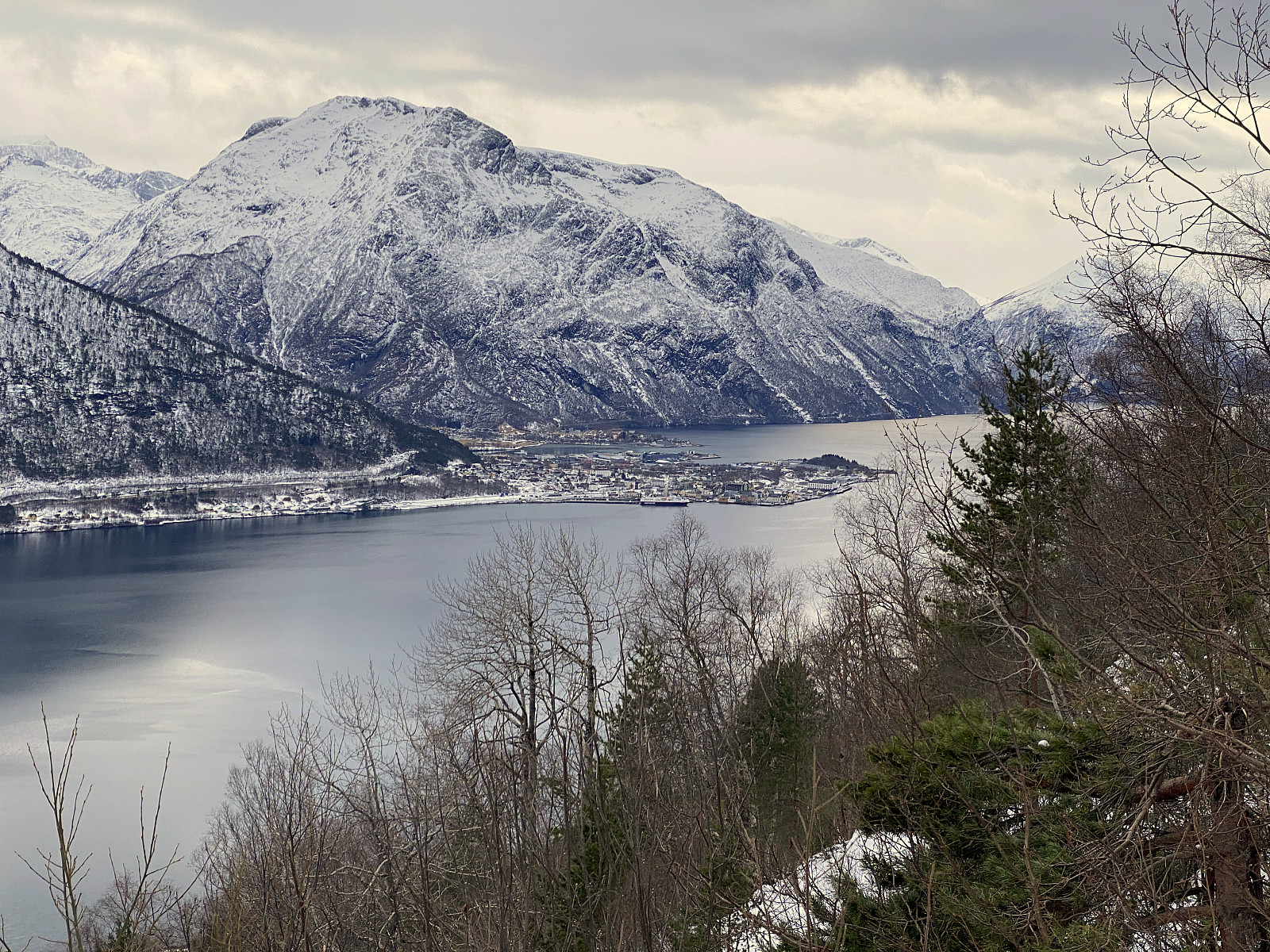
![Image #12: View from Haukarhammaren towards the town of Åndalsnes. Notice that from this elevation, even the mountains of Bispen [i.e."The Bishop"], Kongen ["The King"] and Dronninga ["The Queen"] may be seen.](https://images1.peakbook.org/images/14939/Solan_20210320_605612d4b435f.jpg?p=xtralarge)
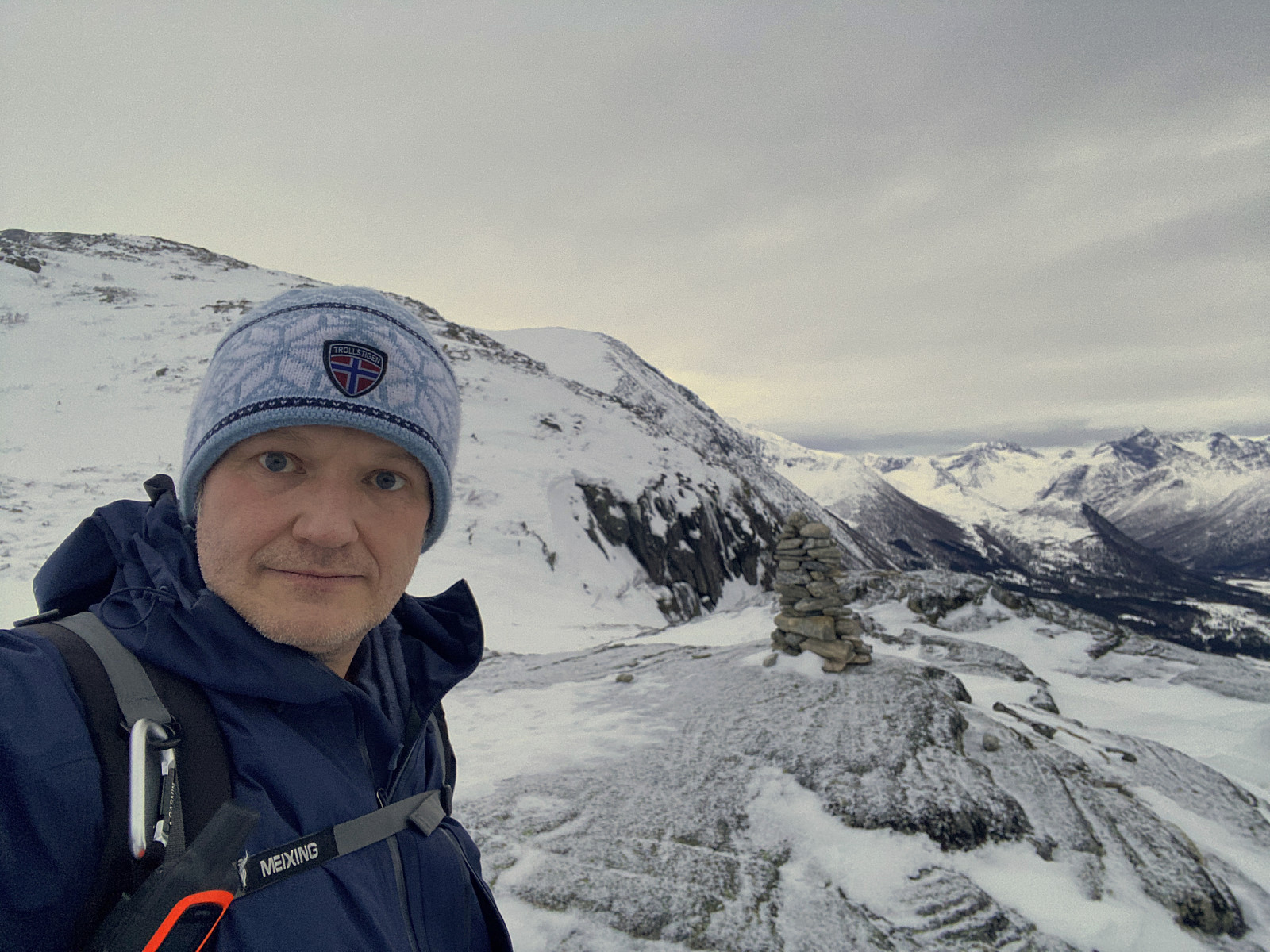
A few meters from the first cabin that you encounter at Breivikstølen, there's a nice bench, on which you may sit down and change from trekking boots to skiing boots, before you embark upon skiing. Moreover, if you've become hungry, or exhausted from the steep climb up to this point, you could even use this bench as an opportunity to have a short break with something to eat and drink, provided that you brought something with you. Myself, I was not yet hungry, nor exhausted on this day, and so I just embarked upon skiing, as soon as I got my skis on. Not far from Breivikstølen Cabin Field, Mount Snortungen has a knoll called Haukarhammaren, located at 640 m.a.m.s.l. (Image #11). This knoll is the part of the mountain that is seen even from the parking lot from where I set out (Image #3). I had figured out that there probably was a very nice view from Haukarhammaren, and so I went skiing in that direction. The view from the knoll of Haukarhammaren was indeed very nice, but it was already late afternoon, and sunset comes early at this time of the year, and so I didn't remain long at Haukarhammaren; I just shot a few images, and then continued skiing towards the summit of the mountain.

![Image #14: View towards Mount Gravfjellet [1048 m.a.m.s.l.].](https://images1.peakbook.org/images/14939/Solan_20210320_60561abc10fcb.jpg?p=xtralarge)
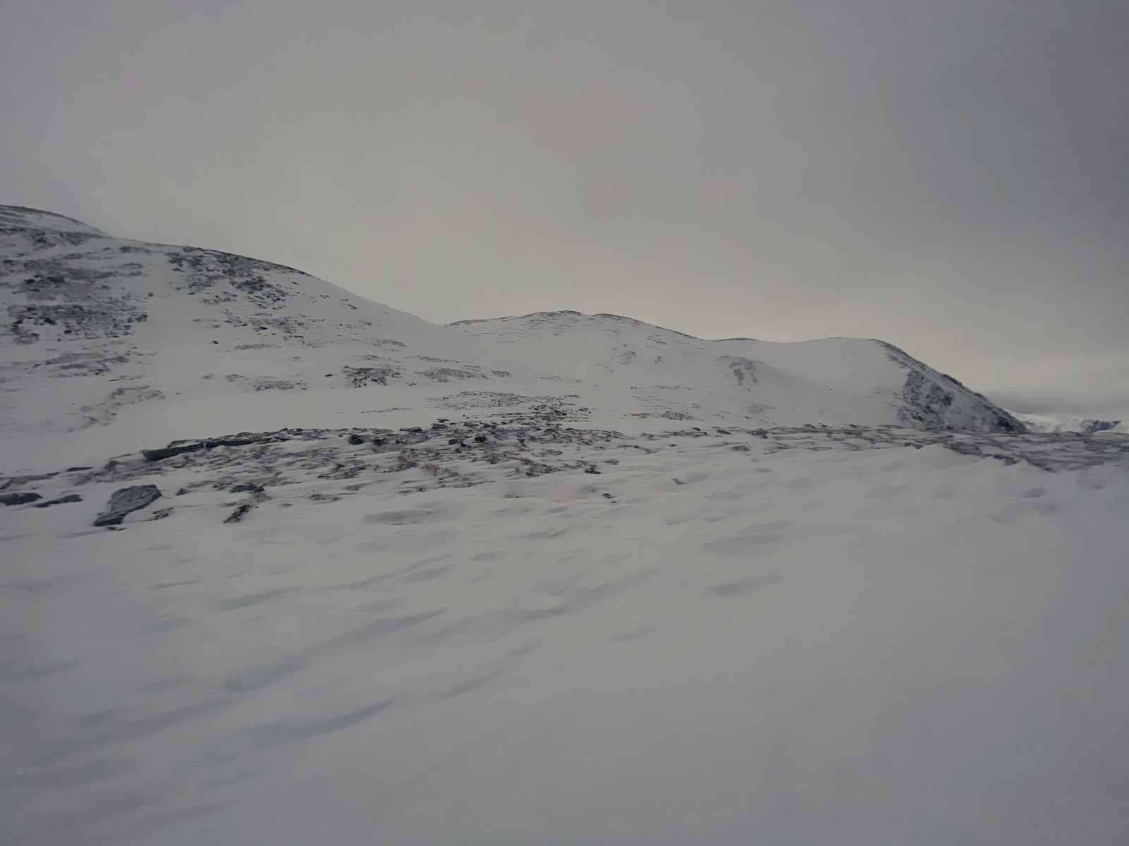
I had actually planned to reach the summit of Mount Snortungen via the west knoll of the mountain (see map in image #13). From the knoll of Haukarhammaren, however, I could see that wind had been blowing away most of the snow on the west knoll, however (image #15); and so I had to change my plan slightly, and opt for a more direct approach towards the summit of the mountain. On the slopes of the south side of Mount Snortungen (see map), there was indeed much more snow, and skiing was quite feasible. I climbed upwards as quickly as I could without exhausting myself. The sun had gone down by now, however, and it gradually got darker; and about 50 elevation meters or so from the summit, I had to put my headlamp on.
With the lamp upon my head, I continued towards the summit. As I was heading towards the summit, however, I noticed that the slopes were becoming steeper and steeper; and that I had to follow the ridge between the west peak and the main peak of the mountain (see image #13) in order to reach the main summit. Now, in daylight, that would probably be safe to do, and maybe you could do it even in the light of a headlamp if you were well acquainted with this particular mountain. Since I had never been here before, however, and since the light from my headlamp could be insufficient to spot snow shelves or seracs that could be dangerous to walk upon; I decided to only go for the west peak of the mountain on this afternoon, and rather come back for the main peak another time, thought the west peak is about 5 meters lower.
After paying a short visit to the left peak, I embarked upon my descent. The amount of snow in the upper part of the mountain was quite scarce, however, so I had to be careful, as there were stones coming up through the snow like shark fins every here and there. I followed pretty much the same route as I had done for the ascent (see GPS tracking), as that was the route that I was now familiar with, though I skipped the knoll of Haukarhammaren as I had already admired the view from there during my ascent. It had started snowing a bit, and that impaired the view a bit in addition to the view impairment caused by the darkness; and so I checked my GPS device every now and then, to be sure I was on the right track. Back down at the bench at Breivikstølen, I switched back to ordinary mountain trekking gear, and had an uneventful descent back down to the parking lot and the car with my skis on my backpack.

User comments