Over Stones and Rocks to Mount Stigebotshornet (03.10.2020)

| Startsted | Trollstigen Tourist Center (697moh) |
|---|---|
| Sluttsted | Trollstigen Tourist Center (697moh) |
| Turlengde | 3t 55min |
| Distanse | 7,5km |
| Høydemeter | 1008m |
| GPS |
|
| Bestigninger | Vestre Stigbotthornet (1592moh) | 03.10.2020 11:43 |
|---|---|---|
| Andre besøkte PBE'er | Trollstigen Parkeringsplass (697moh) | 03.10.2020 11:43 |
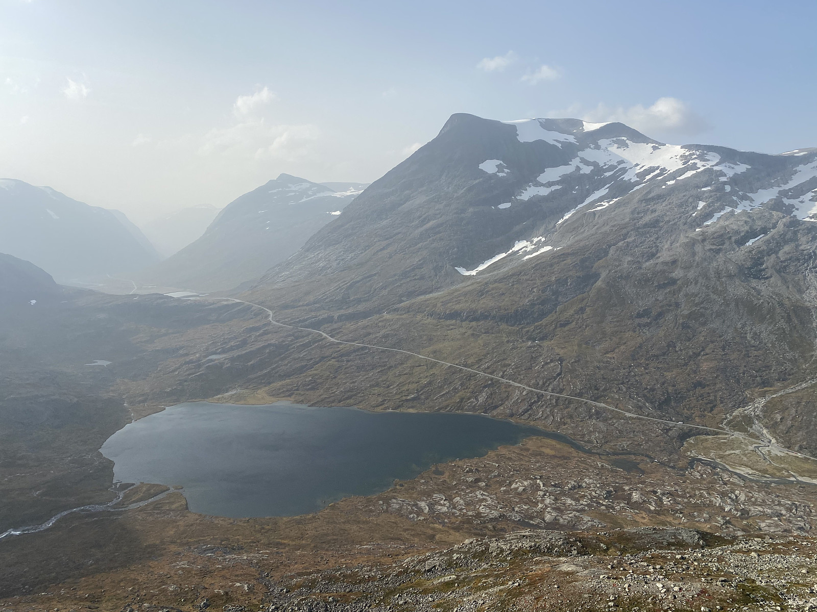
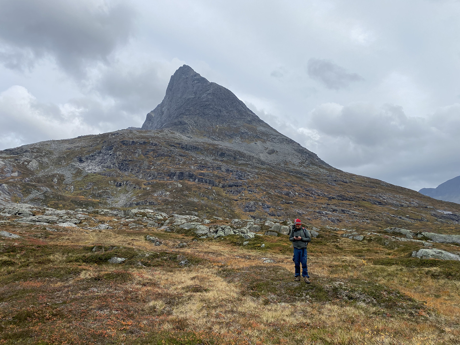
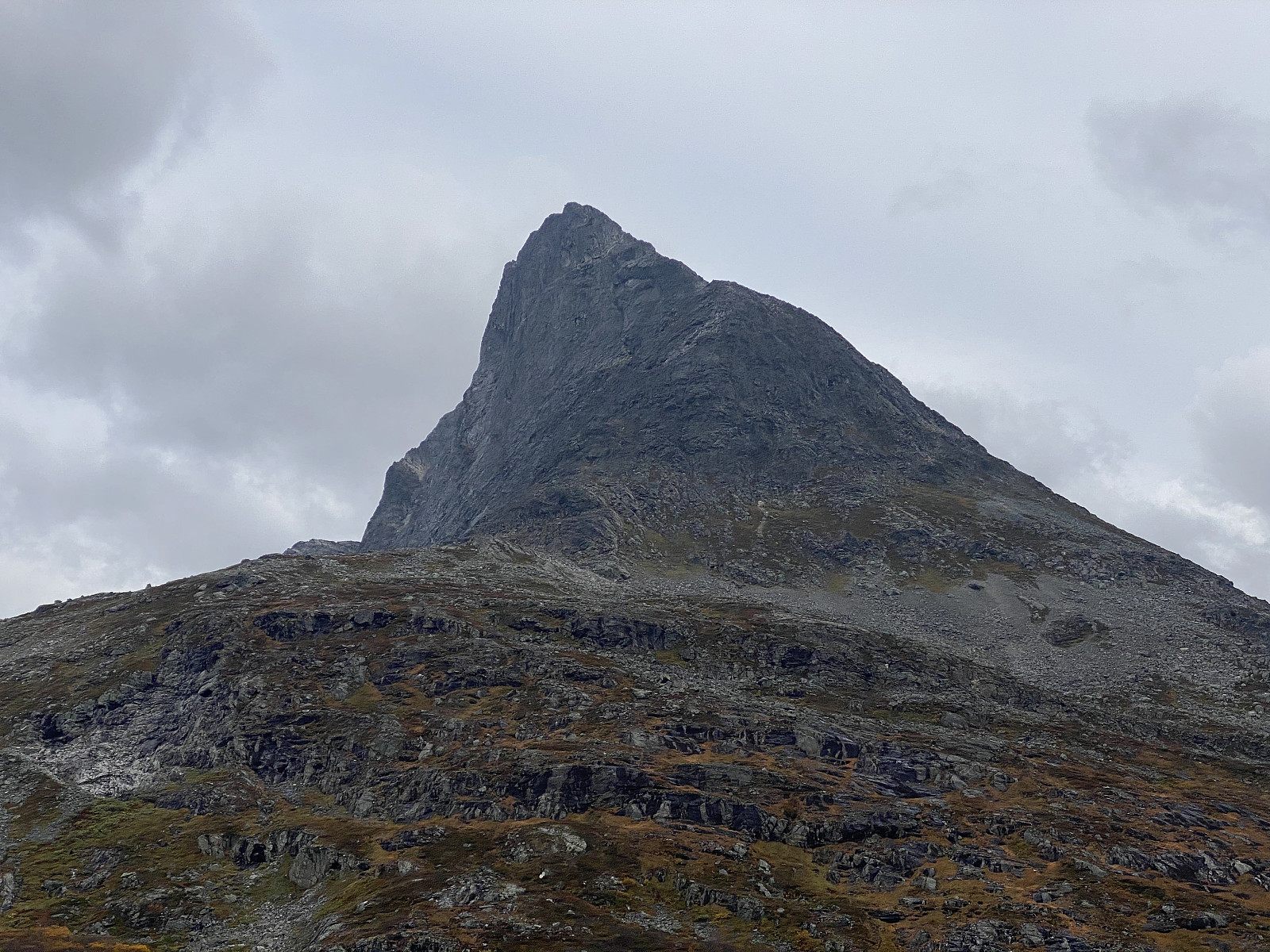
On this day, my son Dag suggested that we trek from Trollstigen Tourist Center to Mount Breitinden [1797 m.a.m.s.l.]. I immediately agreed to his suggestion, but then I suggested we take an unusual route to Mount Breitinden, by climbing up Mount Stigbotthornet, and then follow the mountain ridge all the way to Mount Breitinden. So, we drove to Trollstigen Tourist Center, where we parked our car; and then we started climbing up the south west ridge of Mount Stigbotthornet.
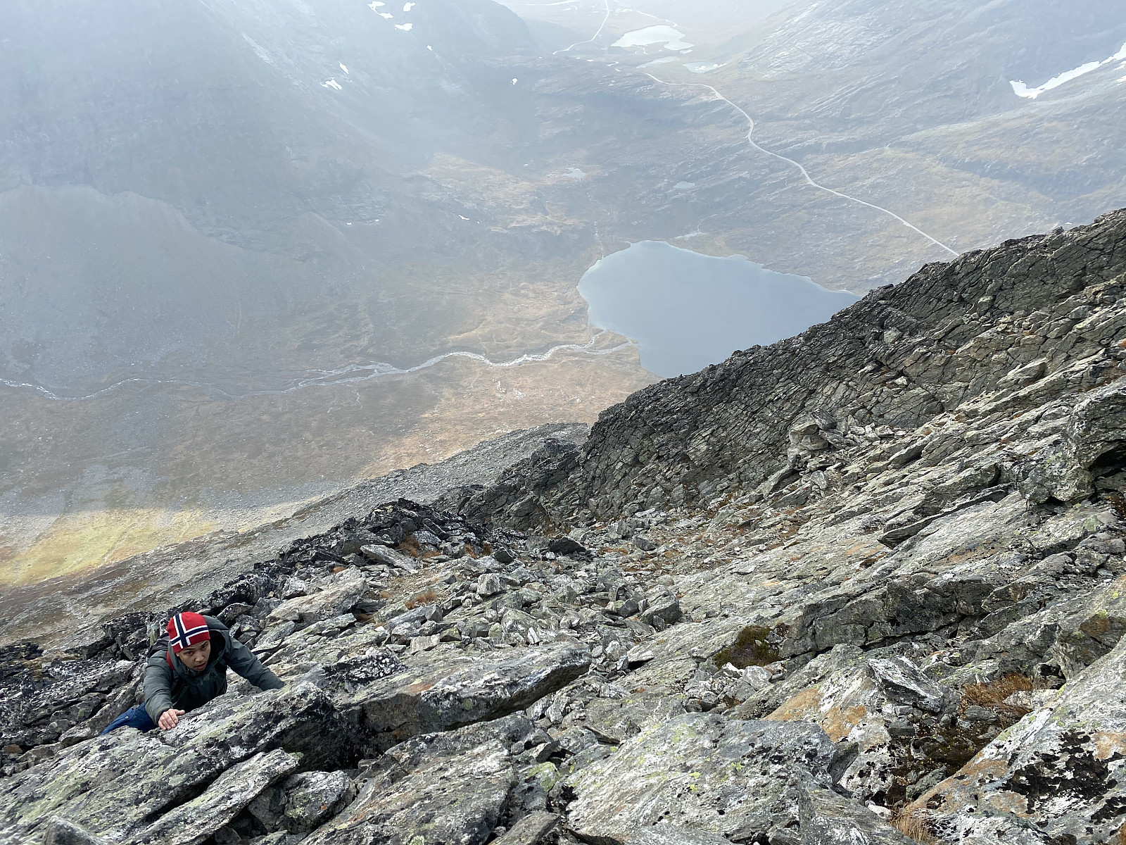
This mountain ridge was quite steep, however. You can't just walk up there, you have to use both arms and legs, as you make your way upwards. The mountain was in no way too difficult for us to climb, but the climb was time consuming; and we had a bit limited time, as my son was scheduled to participate in a little party in the evening. As we approached the top of the mountain, therefore, we realized that he was going to be way too late for his party if we were to continue all the way to Mount Breitinden; and so we decided to drop that plan.
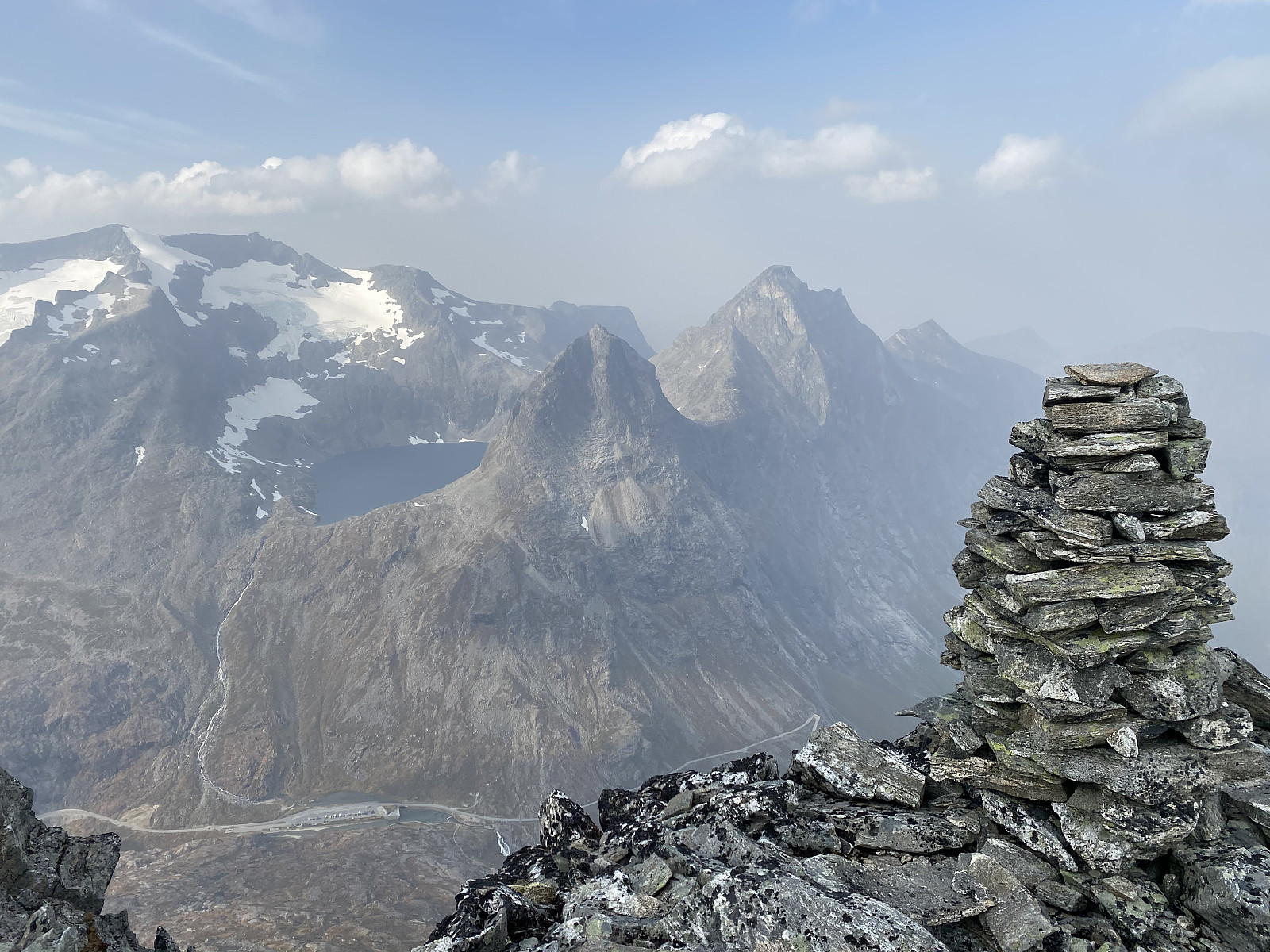
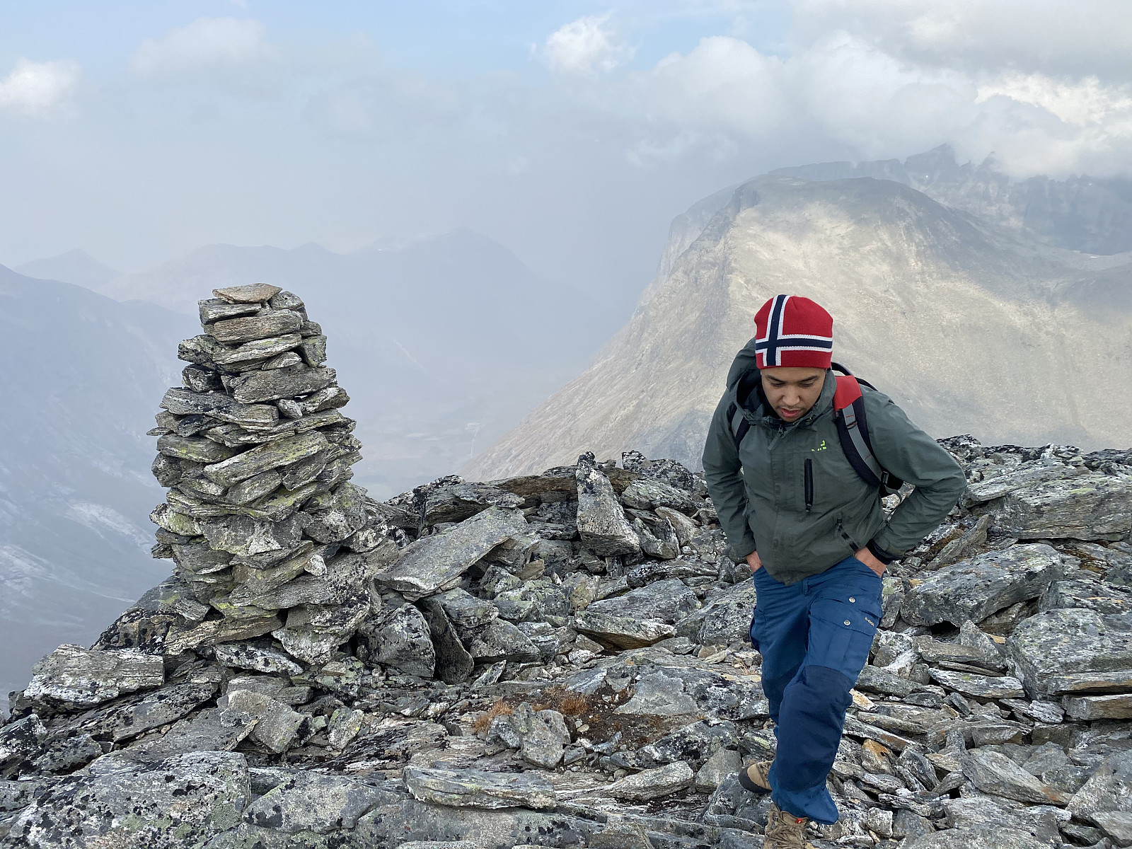
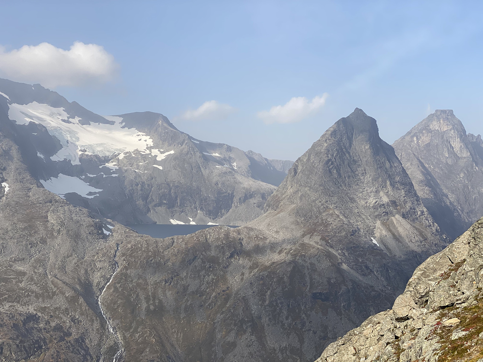
The moment you reach the top area of the mountain, you arrive at a very nice viewpoint, where a cairn has been built (Image #5); a cairn that is visible even from the parking lot at Trollstigen Tourist Center beneath the mountain. This cairn isn't at the summit of the mountain, however; it's just a viewpoint, but the spot looks like the summit when you see it from the tourist center. After shooting some photos, we continued towards the west peak [1592 m.a.m.s.l.] of the mountain. Even this isn't the summit proper, however; as the summit is located a little less than a kilometer further east, at 1597 m.a.m.s.l. In order that my son should be able to get to his party in time, we embarked upon our descent without paying a visit to the summit.
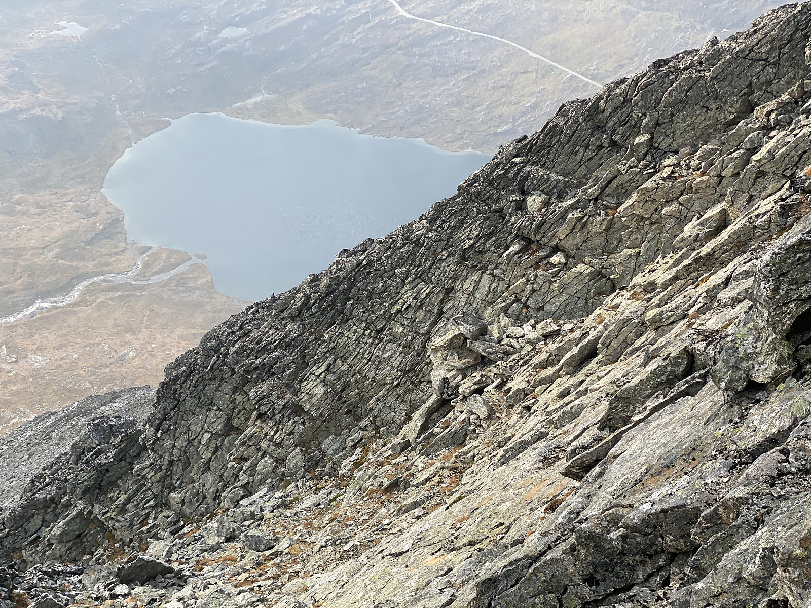
The climb back down the steep mountain ridge was even a bit more challenging than the climb up. In the upper part, we chose to climb down following a chute just east of the ridge that we had been following up; and then in the lower part, we chose to continue down to about 1050 m.a.m.s.l., before heading in a westward direction back to Trollstigen Tourist Center and the parking lot. Our hike sure became a bit shorter than what we had planned for this day, but my son made it to his party; and I'm quite determined that I'm going to hike the entire length of this mountain range, all the way to Mount Breitinden another time.


Kommentarer