Hiking to Lake Svartbotsvatnet and Mount Svartbotstinden (22.08.2020)

| Start point | Vikdalen Parkering (180m) |
|---|---|
| Endpoint | Vikdalen Parkering (181m) |
| Characteristic | Alpine climbing |
| Duration | 10h 01min |
| Distance | 19.1km |
| Vertical meters | 2,501m |
| GPS |
|
| Ascents | Haugabotstinden (1,158m) | 22.08.2020 |
|---|---|---|
| Svartebottstinden (1,207m) | 22.08.2020 09:54 | |
| Visits of other PBEs | Vikdalen parkering (175m) | 22.08.2020 09:54 |
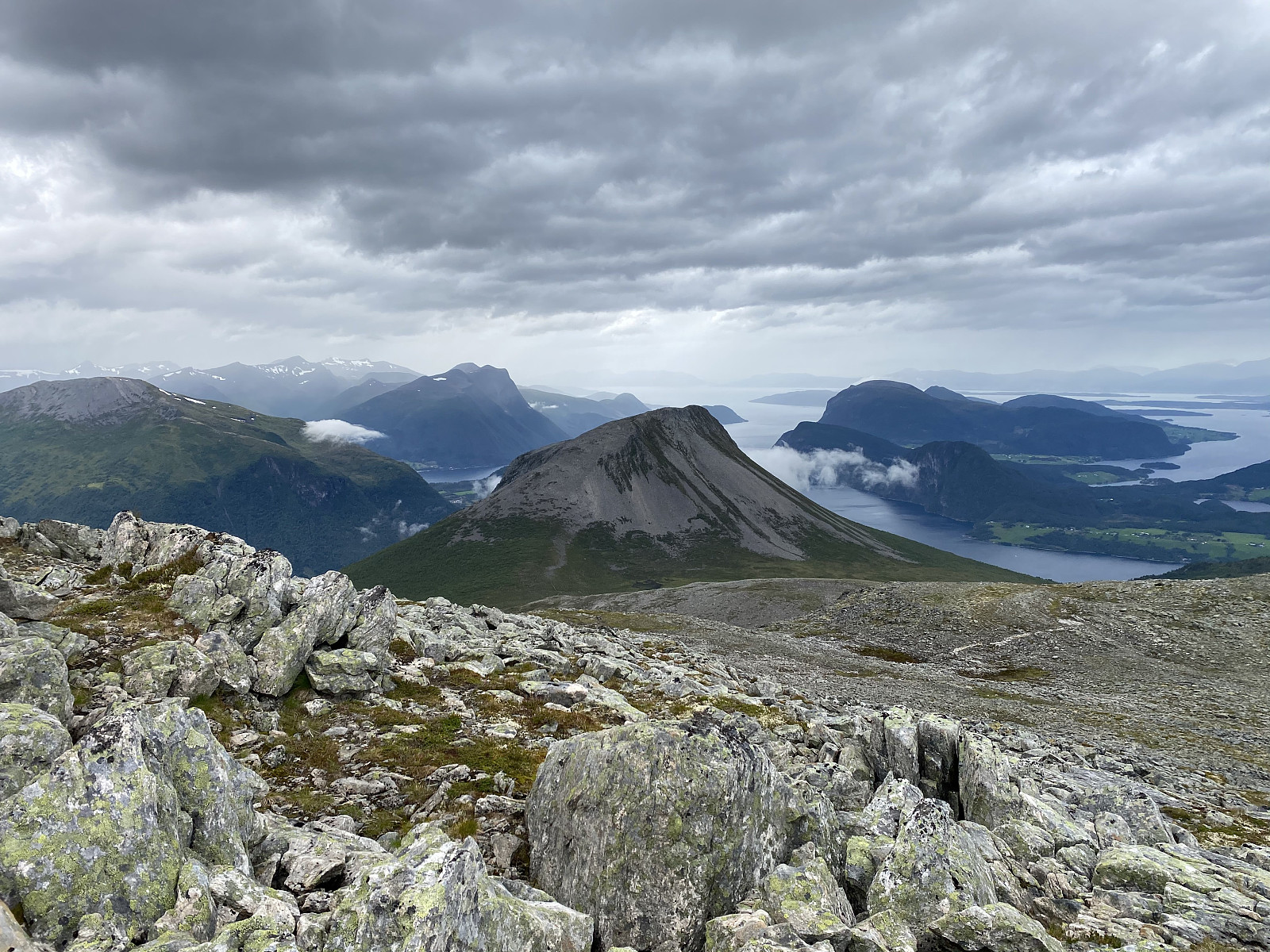
There's a mountain range close to the town of Åndalsnes in Rauma municipality in the county of Møre & Romsdal in Norway, that has three mountains that are called Bispen [i.e. "The Bishop"], Kongen ["The King"] and Dronninga ["The Queen"] respectively. The mountain range actually has about 8 mountains interconnected by mountain ridges (depending a little on how you count them), and the three mentioned mountains are just the southernmost three of the 8 mountains of the range. Another one is Mount Svatbotstinden, which I visited on this particular day. I have for some years been planning to hike the southernmost 4 of the 8 mountains of this mountain range; starting out from Trollstigen Tourist Center (Image #3), and ending up on the shores of the fjord called Innfjorden. I've actually read about people that hiked the three mountains mentioned above (The Bishop, The King and The Queen) in one single day; and so I had been thinking of beating that accomplishment by adding the fourth mountain [i.e. Haugabotstinden or Karitinden] to it. Nevertheless, as I climbed Mount Norafjellet and Mount Nordre Trolltind on October 15th, I could see the entire extent of this mountain range from the other side of the valley; and I then realized I could actually hike the entire length of this 8-mountain range in one single hike.
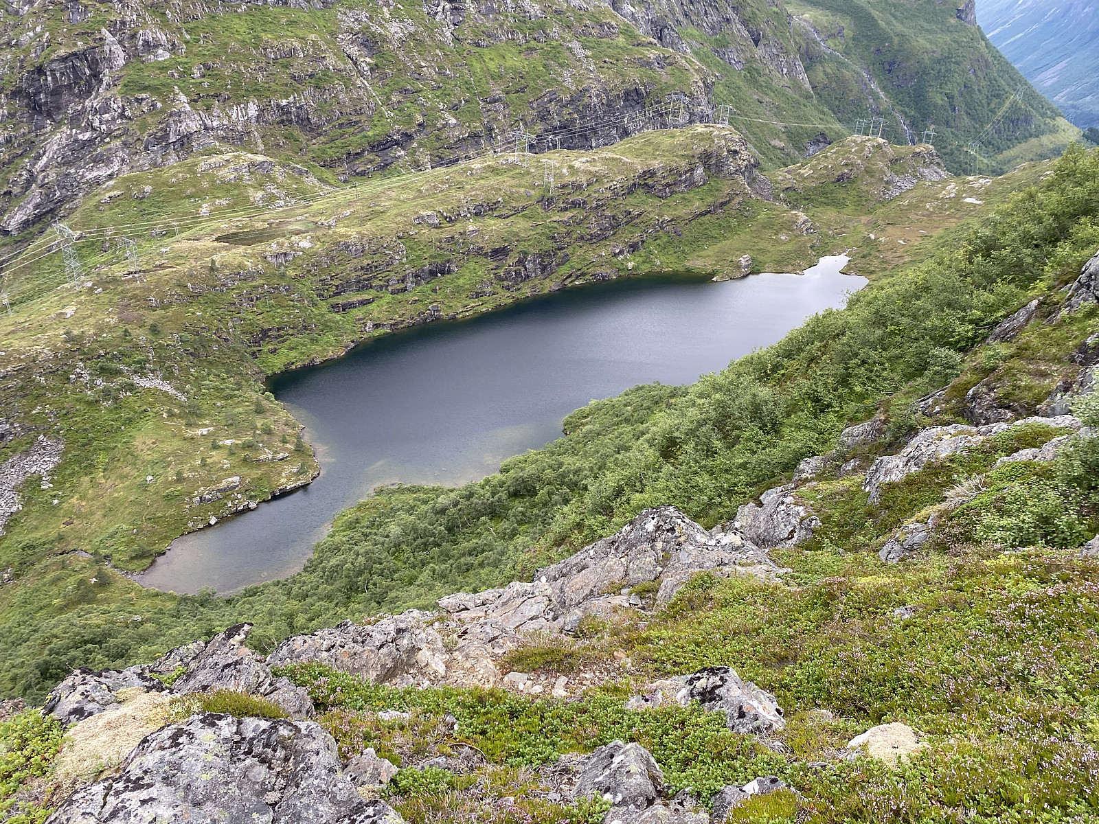
![Image #4: Inclination map showing the steep mountain sides around Lake Svartebottsvatnet. The lake is located at 509 m.a.m.s.l. On the north side of the lake, you have the steep south face of Mount Svartebottstinden, and on the south side you have the equally steep north face of Mount Haugabotstinden. East of the lake you have a steep mountain side down into Isterdalen Valley. Only from the west side is it possible to reach this beautiful lake by ordinary hiking [i.e. without climbing].](https://images1.peakbook.org/images/14939/Solan_20201213_5fd6712e2fe23.jpg?p=xtralarge)
![Image #5: Elevation profile of this 8 or 10 mountain range; the number depending on how you count them. Peaks/summits marked by a red map pin have a vertical separation of more than 100 meters. This profile follows the climb/trek that I made along this mountain range a few days later. A profile along a curve going directly from summit to summit would look different, as the King, for instance, has a vertical cliff of about 100 meters facing the Queen [i.e. on the north side].](https://images1.peakbook.org/images/14939/Solan_20201214_5fd7dfd2752b7.jpg?p=xtralarge)
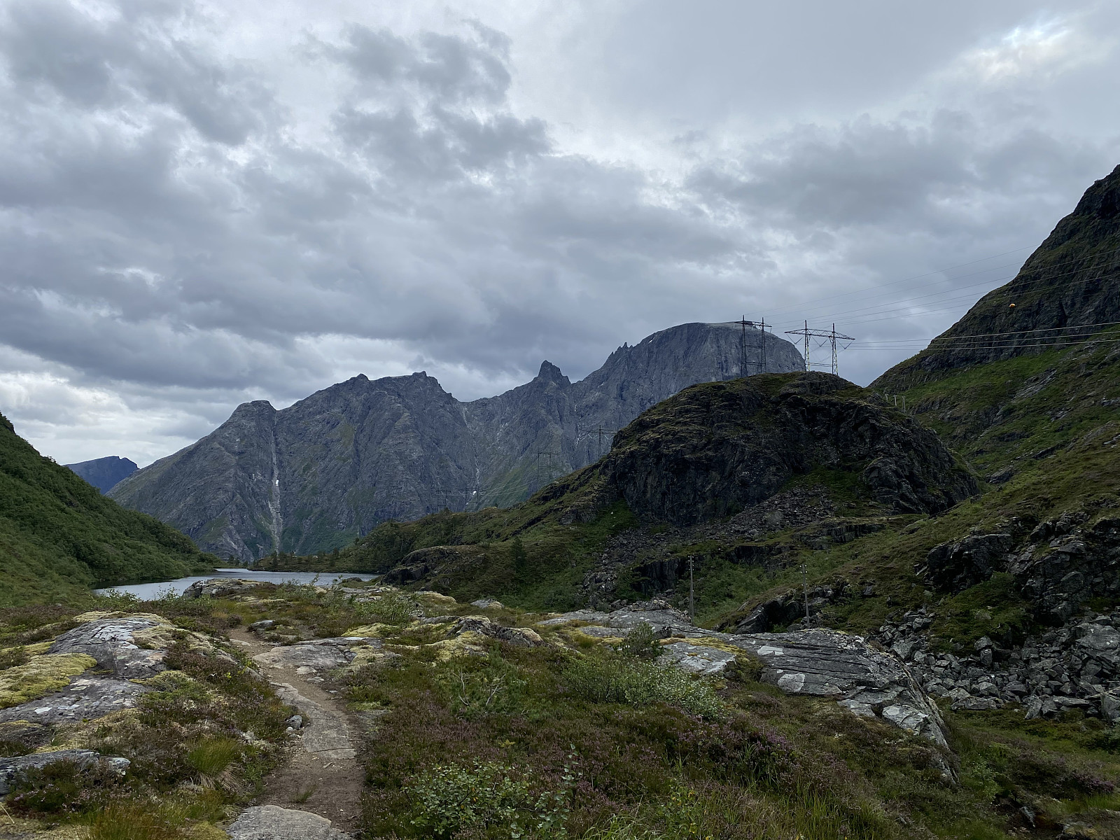
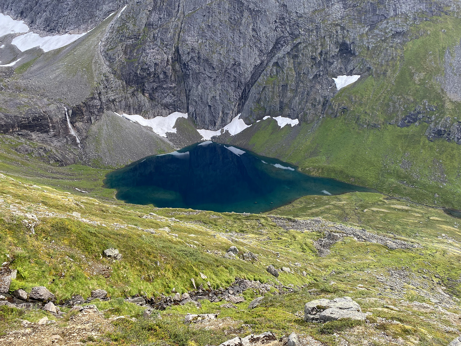
Such a long hike would require careful planning, and careful preparing, though. I had previously climbed both The Bishop and The King from The Trollstigen Tourist Center; and I had climbed The Queen from Trollstigen via The King, as well as from the fjord of Innfjorden via Mount Haugabotstinden. Moreover, I had also climbed Mount Setnesfjellet from the town of Åndalsnes along with my son a few weeks earlier; I had, however, never climbed the mountain of Svartbotstinden, nor had I ever climbed down from Mount Haugabotstinden to Lake Svartbotsvatnet (Image #4). A brief look at the altitude profile (Image #5) of the mountain range in question, often referred to as Isterdalstindane [i.e. "The Peaks of Isterdalen Valley"], reveals that there is a rather deep notch between Mount Haugabotstinden and Mount Svartbotstinden; and the mountain sides on both sides of this notch are quite steep. Nevertheless, a beautiful lake is also situated in this notch; and so on this particular day I decided to visit this notch in the 8-mountain range, and even find out whether it would be possible for me to climb the down on the south side of the notch, and then up on the north side of it.
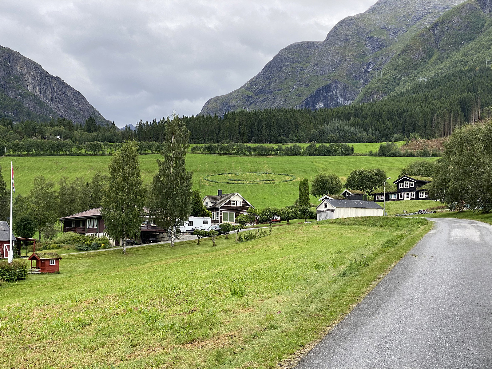
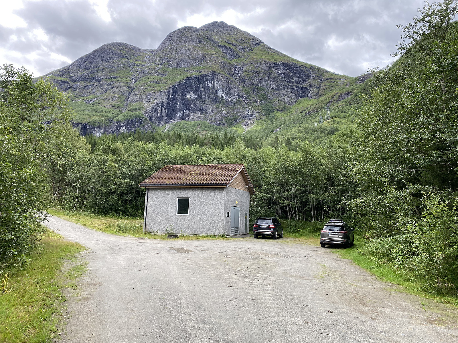
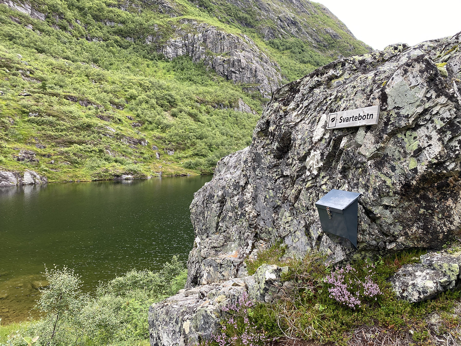
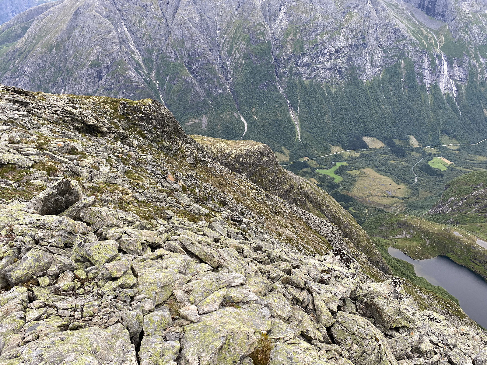
I borrowed my daughters RAV4 on this day, and drove to the fjord of Innfjorden; and then up the mountain side to a valley called Vikdalen, where I parked besides the building of a little power plant. From that spot up to the notch, or valley called Svartebotnen, there's a nice and well marked trail; hence that part of the hike was straight forward. The valley with the lake is quite beautiful during summer. While the peaks of Isterdalstindane range from 1027 to 1614 m.a.m.s.l., the surface of Lake Svartbotsvatnet is located at just 519 m.a.m.s.l.; hence there's ample vegetation around the lake, and if the sun's shining it may become quite warm up there on a non-windy summer day.
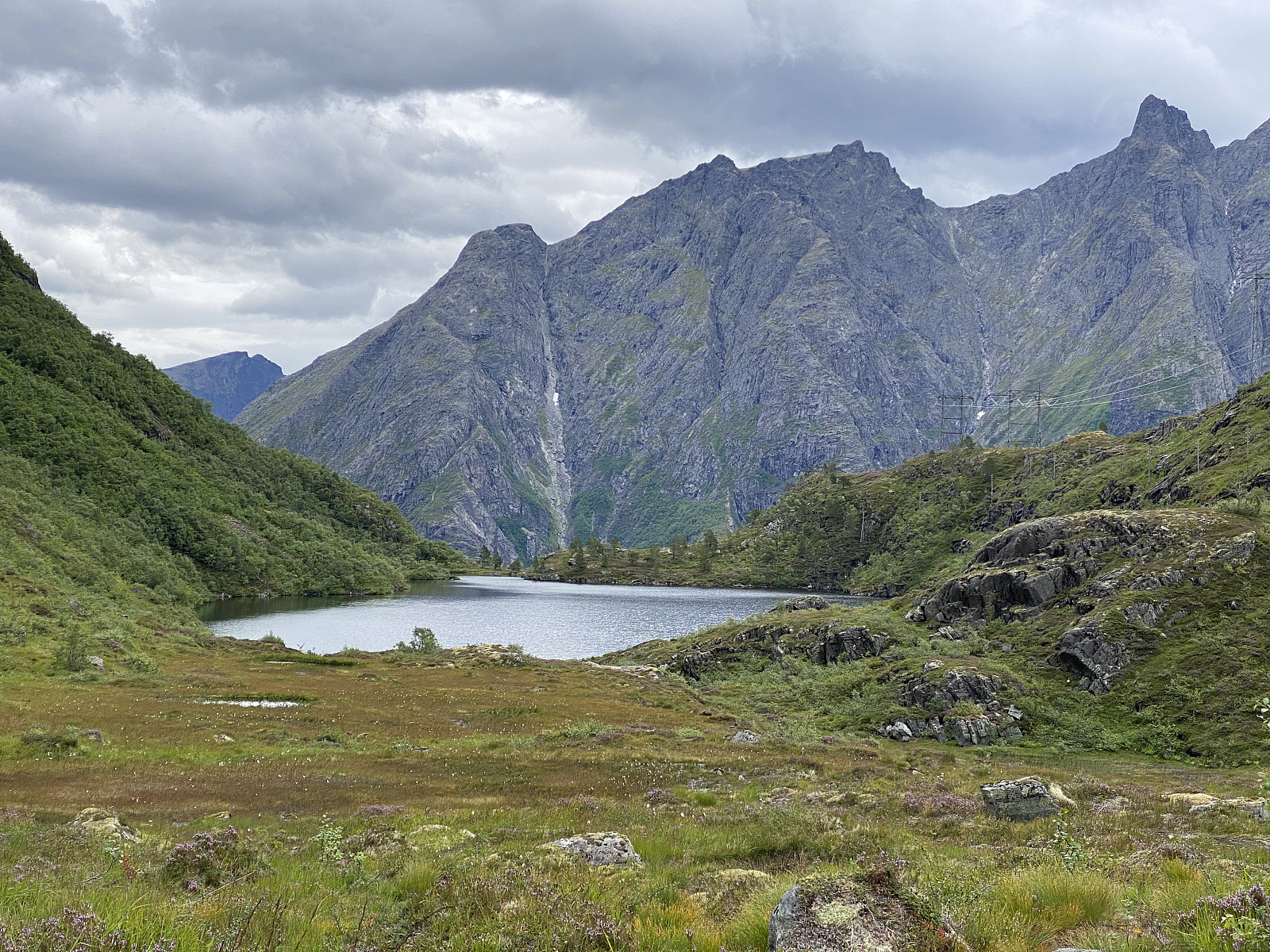
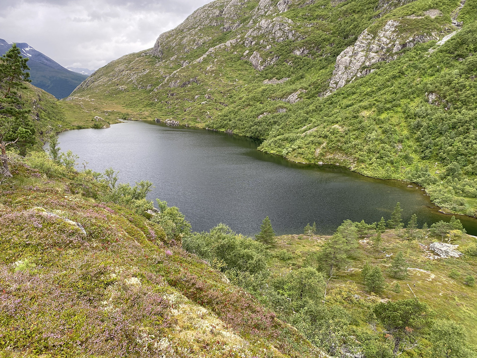
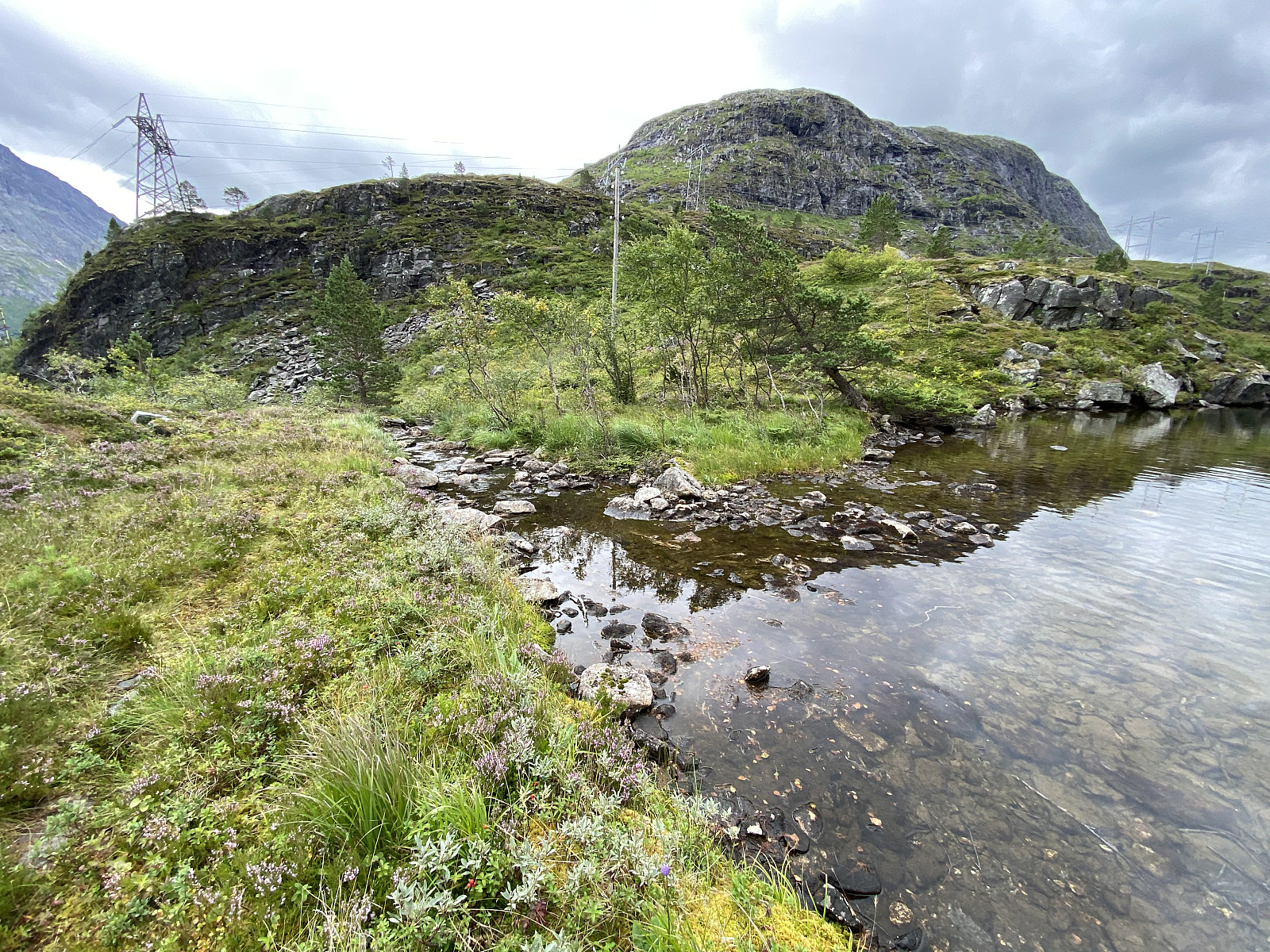
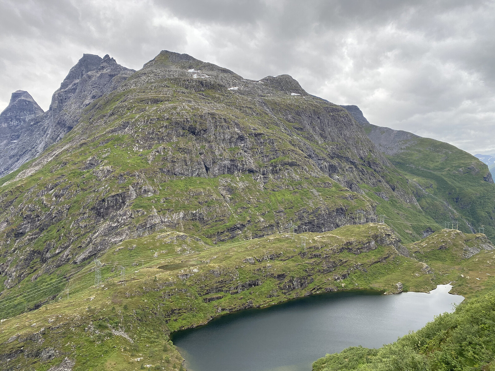
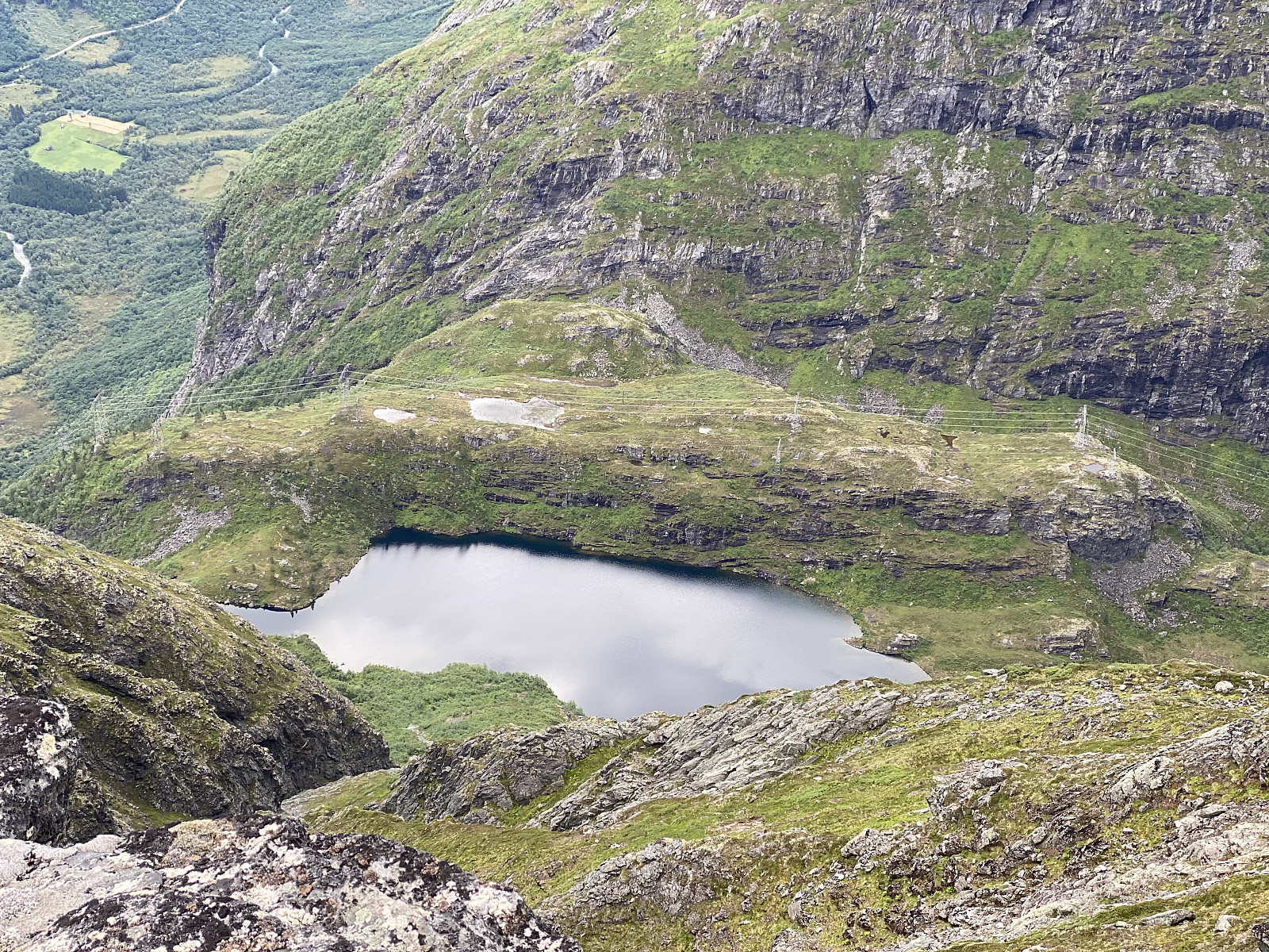
I circumvented the lake on the south side. In order to do that I had to climb up to a plateau that's elevated about 10 meters or so above the surface of the lake, as there are cliffs going directly into the water, so that you can't just walk along the shores of the lake if you want to go around it. While on the plateau just south of the lake, I got a quite good overview, not just of the valley, but even of the mountain side just north of it. Mount Svartebottstinden had a ridge going from the east end of the lake, that seemed to go all the way to the summit of the mountain; and another ridge going from about midway on the north shore of the lake, even this going all the way to the top. The south east ridge [i.e. the first one mentioned] seemed a bit steep, and seemed to have a quite dense birch forrest in the lower part; but through my binoculars I could see a steep chute where the forrest was less dense, and so I opted to climb up there. I first went down from the south side plateau to the east end of the lake, however. At the east end, there's a beautiful spot, just where a creek, or little river, leaves the lake, and tumbles down the mountain side into Isterdalen Valley; making numerous small waterfalls on it's way down to the bottom of the valley. Here, at the outlet of the lake, I had something to eat; and then I embarked upon my climb up the southeast ridge of Mount Svartebotstinden.
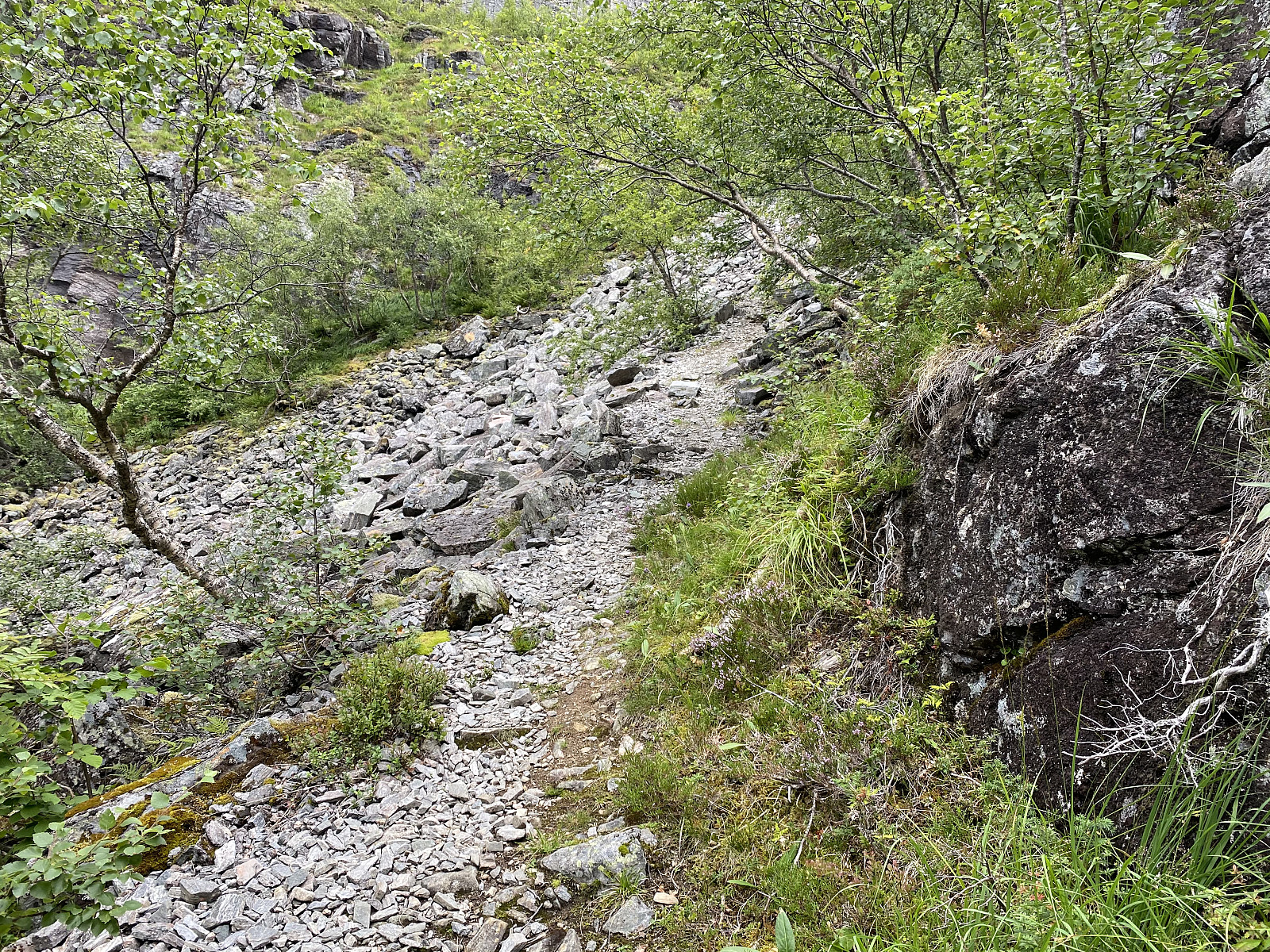
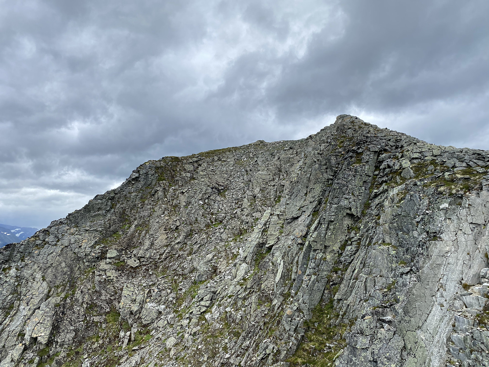
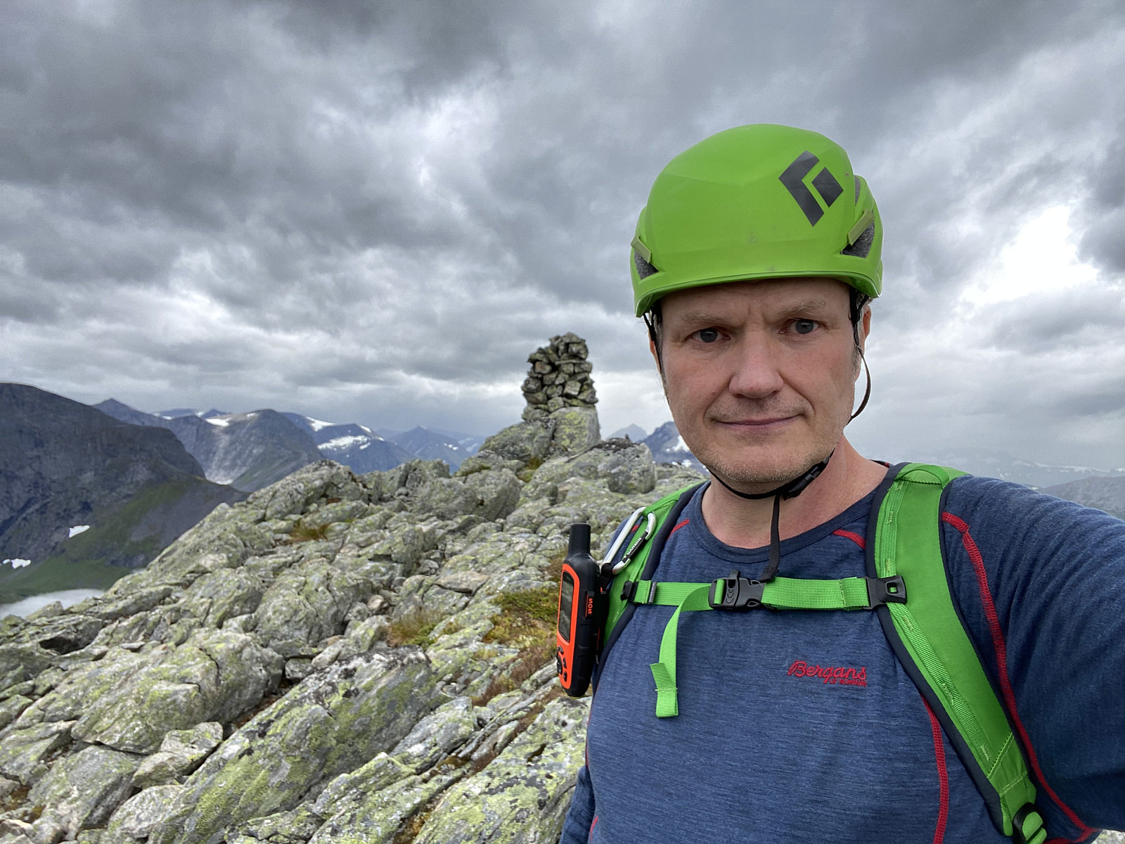
The first part of the climb went through a birch forrest with quite dense heather and bushes in between the trees. I was a little bit concerned about snakes as I made my way through the forrest, as I couldn't actually see where I was making my steps. The Norwegian wiper is usually not considered to be very dangerous, however; and I've been stung by it once before, without taking any harm, so I went on. I soon came across a dried up creek, where vegetation was more scarce; and so I followed the creek bed upwards the mountain side. This creek bed eventually led to the chute that I had seen from afar, so in this respect my climb went just as I had planned. The chute was quite steep, but if you're a bit used to climbing, and even if you've just practiced indoor climbing or bouldering; you'll be just fine. Above the chute, there was no longer any forrest, but the heather was quite abundant, and there were single standing low birch trees every here and there. The mountain ridge flattened out little by little as I was climbing, and I reached the summit of Mount Svartebotstinden about 1 hour 50 minutes after I left the outlet from the lake in the valley.
From the summit of Mount Svartebotstinden I went back down to the lake, though now using a different route. I first followed a ridge going westward, and then I went in a southeastern direction, more or less directly down to the lake. The descent was quite steep, and there was no trail or path; but I have an app with an inclination map (see Image #4), and I used that app to make sure I didn't end up in a route that was too steep for me to cope with. Back by the shores of the lake, I decided to climb even the north face of Mount Haugabotstinden, just to make sure I would be able to find a route down this mountain side when doing the 8-mountain trek that I was currently planning to do. So, after a little bit more to eat and drink, I embarked on the task.
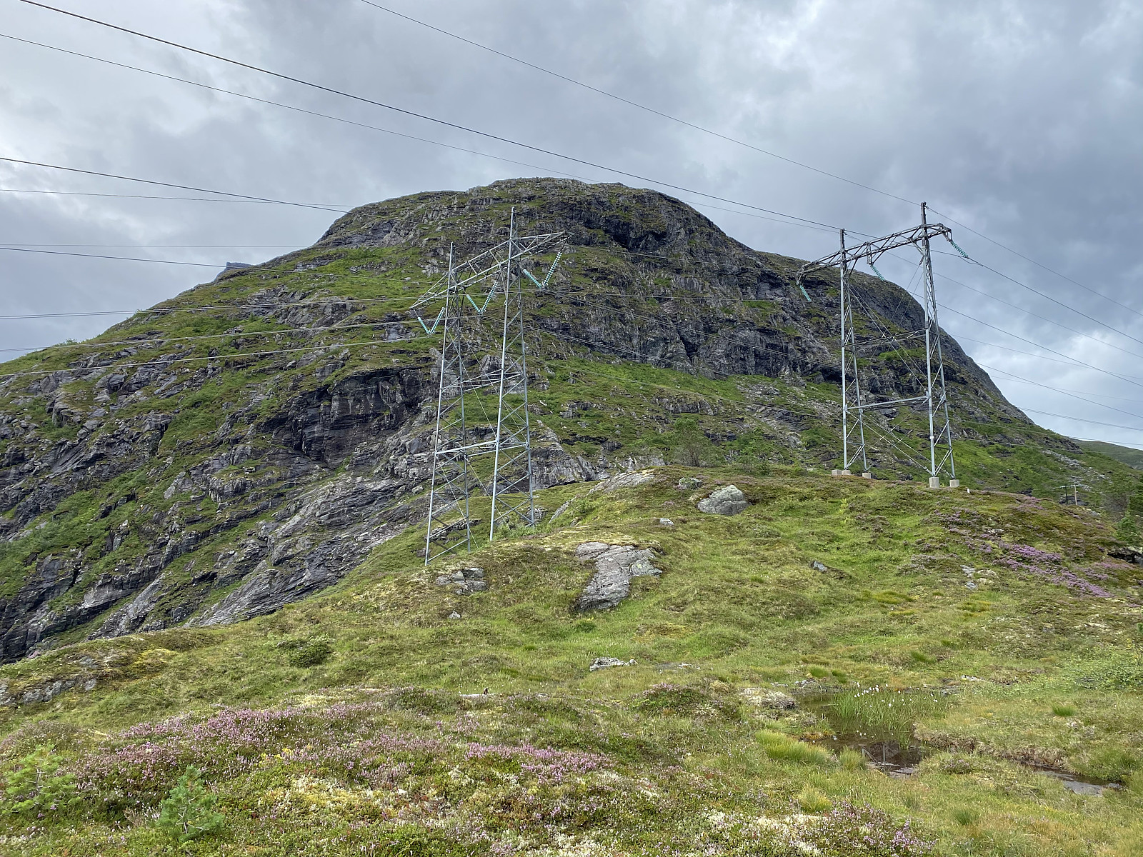
There have once upon a time actually been a trail up this north side of Mount Haugabotstinden. This trail has, however, rarely been used in recent years, and so it has more or less disappeared. Nevertheless, the trail is readily visible on the on maps, including the map of the inclination app that I've been using (see Image #4). [This app is called Bratt, "bratt" being the Norwegian word for "steep"]. The Bratt-app has a blue dot marking your location as you move around (similar to Goole Maps and other map-based apps), and so it was quite feasible for me to follow the old trail up the mountain side, even though it was only occasionally visible in the terrain.
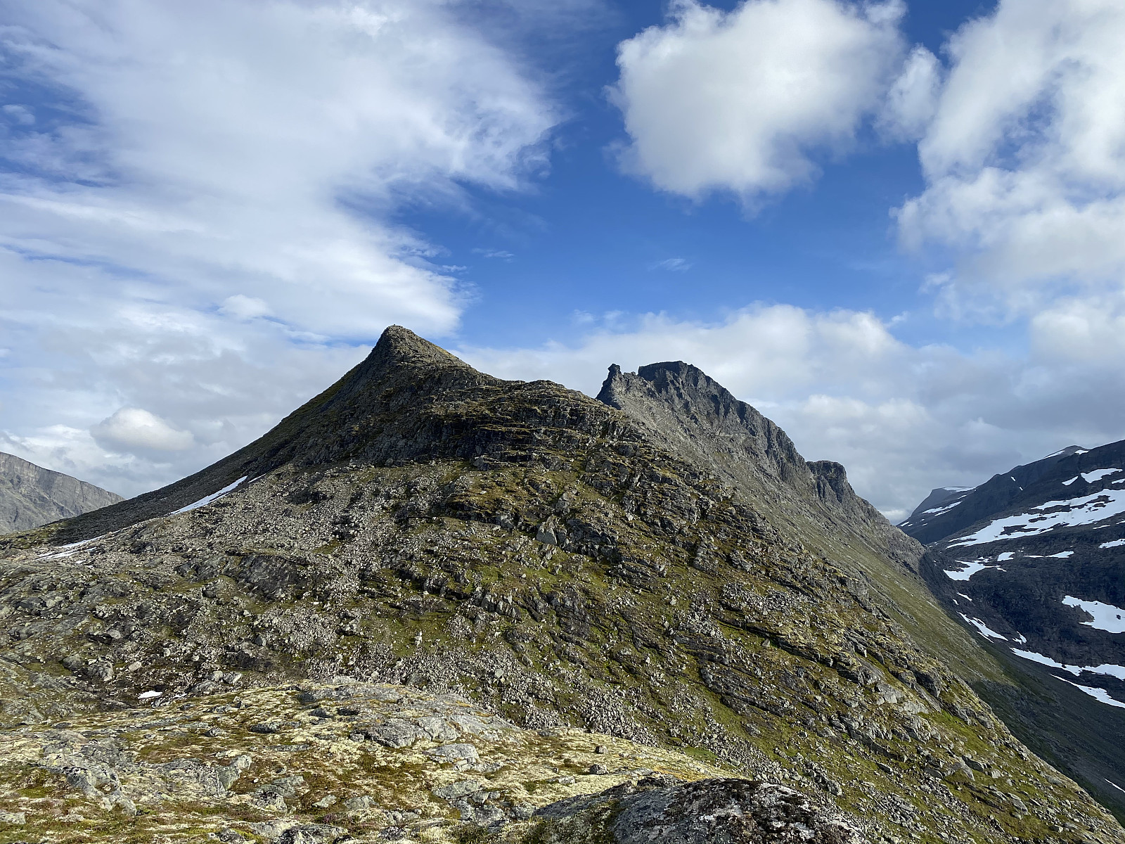
![Image #22: Approaching Mount Karihaugen, a knoll on the slightly higher Mount Haugabottstinden [which is by many also called Karitinen].](https://images1.peakbook.org/images/14939/Solan_20201215_5fd9152030c95.jpg?p=xtralarge)
The climb from Lake Svartebottsvatnet up to a peak called Karihaugen took me about 2 1/2 hours. The climb up this mountain side was many places just as steep as the climb up the previous mountain side had been, but in addition, this mountain side was wet and slippery at places. The peak called Karihaugen is actually just a knoll on Mount Haugabotstinden. Nevertheless, I was familiar with the route from Karihaugen to the summit of Mount Haugabotstinden from a previous climb to Mount Dronninga [i.e. The Queen], and so I didn't bother to continue up to the top of Haugabotstinden on this occasion. Instead, I chose to descend from Karihaugen into the valley of Haugabotnen, which is just west of the mountain.
The valley of Haugabotnen has a beautiful lake called Haugabotsvatnet. There's a creek, or little river running out of this lake in a northward direction, and I crossed this river just north of its outlet. From Haugabotnen Valley there's a well marked, and clearly visible trail down to the power plant in Vikdalen Valley; the last part of the trail actually being a graveled road used back in the days when they were building the power plant. I was back down by the car about 10 hours after I had set out from this very spot in the morning. On the map my trail makes a figure of 8, and it actually looks as if I was just wandering around without any particular goal. This hike was, however, a very important step in my preparation for the very long and challenging 8-mountain hike that I made less than a week later.
![Image #26: The same view as in the previous image, though shot with the use of the telephoto lens of my new iPhone camera. The knoll on the right side of Mount Kongen is called Kongskneet [i.e. "The knee of the King"].](https://images1.peakbook.org/images/14939/Solan_20201215_5fd9195e7c062.jpg?p=xtralarge)

User comments