Climbing Mount Ulriken in Bergen from the Rear Side (23.04.2020)

| Start point | Haukelandsbakken (150m) |
|---|---|
| Endpoint | Haukelandsbakken (150m) |
| Characteristic | Alpine trip |
| Duration | 3h 23min |
| Distance | 9.9km |
| Vertical meters | 1,230m |
| GPS |
|
| Ascents | Lægdetjerntoppen (601m) | 23.04.2020 |
|---|---|---|
| Middagshøyden (640m) | 23.04.2020 | |
| Ulriken (643m) | 23.04.2020 | |
| Ulriken Vest (607m) | 23.04.2020 |
I do not know how many times I’ve climbed Mount Ulriken in the city of Bergen. There are three commonly used trails up to the top of this mountain, one with very nice stone stairs; and then there are 4 or 5 less commonly used trails. On this occasion, however, I had decided to climb the mountain from the rear side, where there’s no trail along which you may hike. Due to the Covid19 pandemic, all indoor facilities for climbing and bouldering have been closed for the last 6 weeks or so; and as the outdoor climbing season is quickly approaching, I wanted to do some practising on a not too difficult mountain, so it won’t be too exhausting for my arms when I embark on some really high and steep mountains.
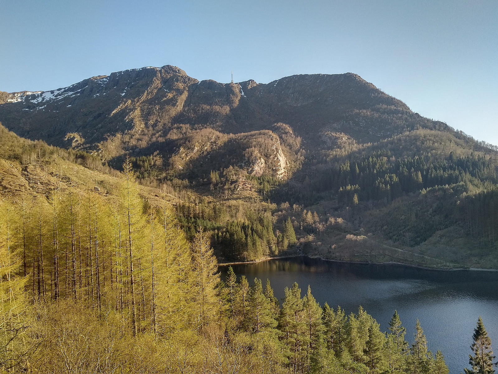
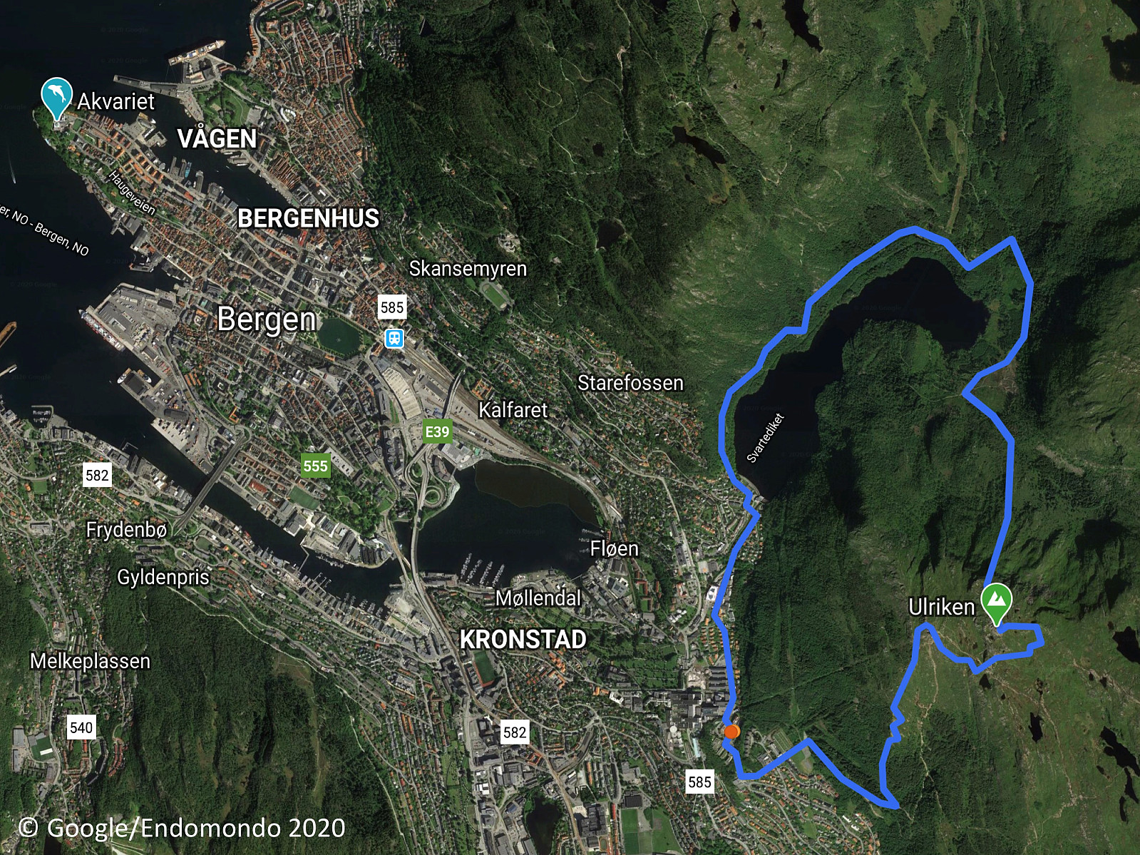
I trekked around the northern side of a lake that in ancient times was called Alrekstadvatnet, but nowadays usually just goes under the name Svartediket (i.e. "The Black Dike"). Alrek was the Norse name of Mount Ulriken, and Alrekstad was the name of a village by the foot of the mountain in Norse times. A dam was built at the lake in the latter half of the nineteenth century in order to secure enough drinking water for the city of Bergen, and since then the lake has just been called been called "The Black Dike" due to its dark, seemingly deep waters. On the east side of the lake, there's a valley called Isdalen (i.e. "The Ice Valley"), which starts high up in the mountain massif, and extends northwards on the rear side of Mount Ulriken, before it opens up into Ulriksdalen Valley, where the "Black Dike" is located.
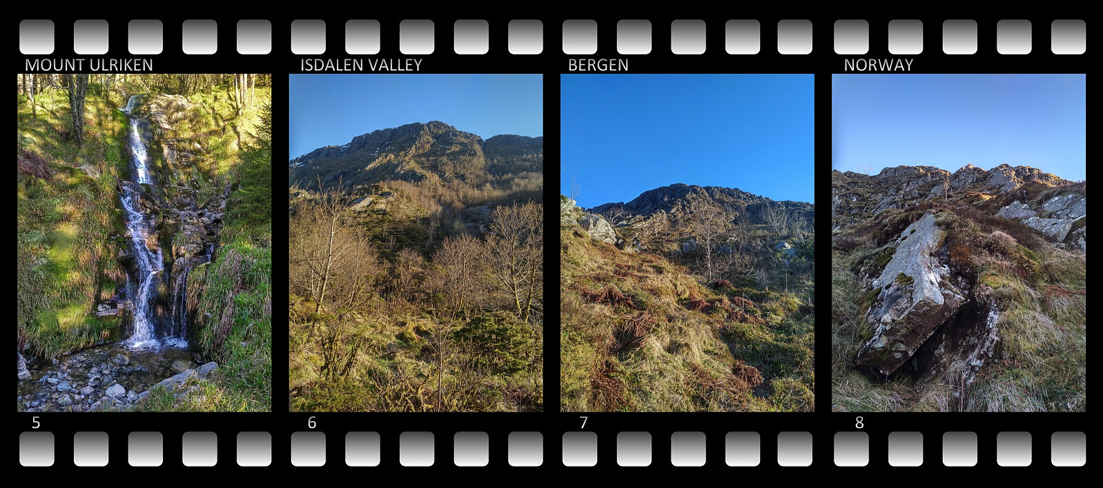
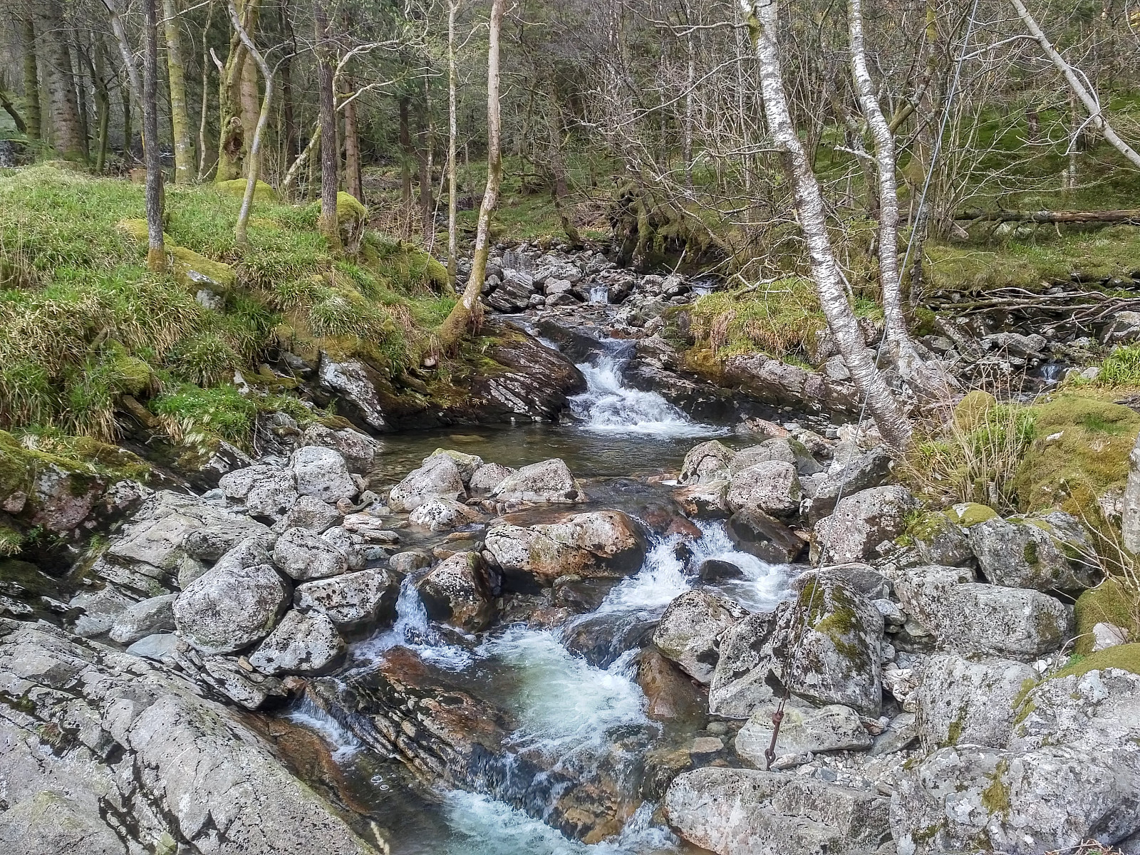
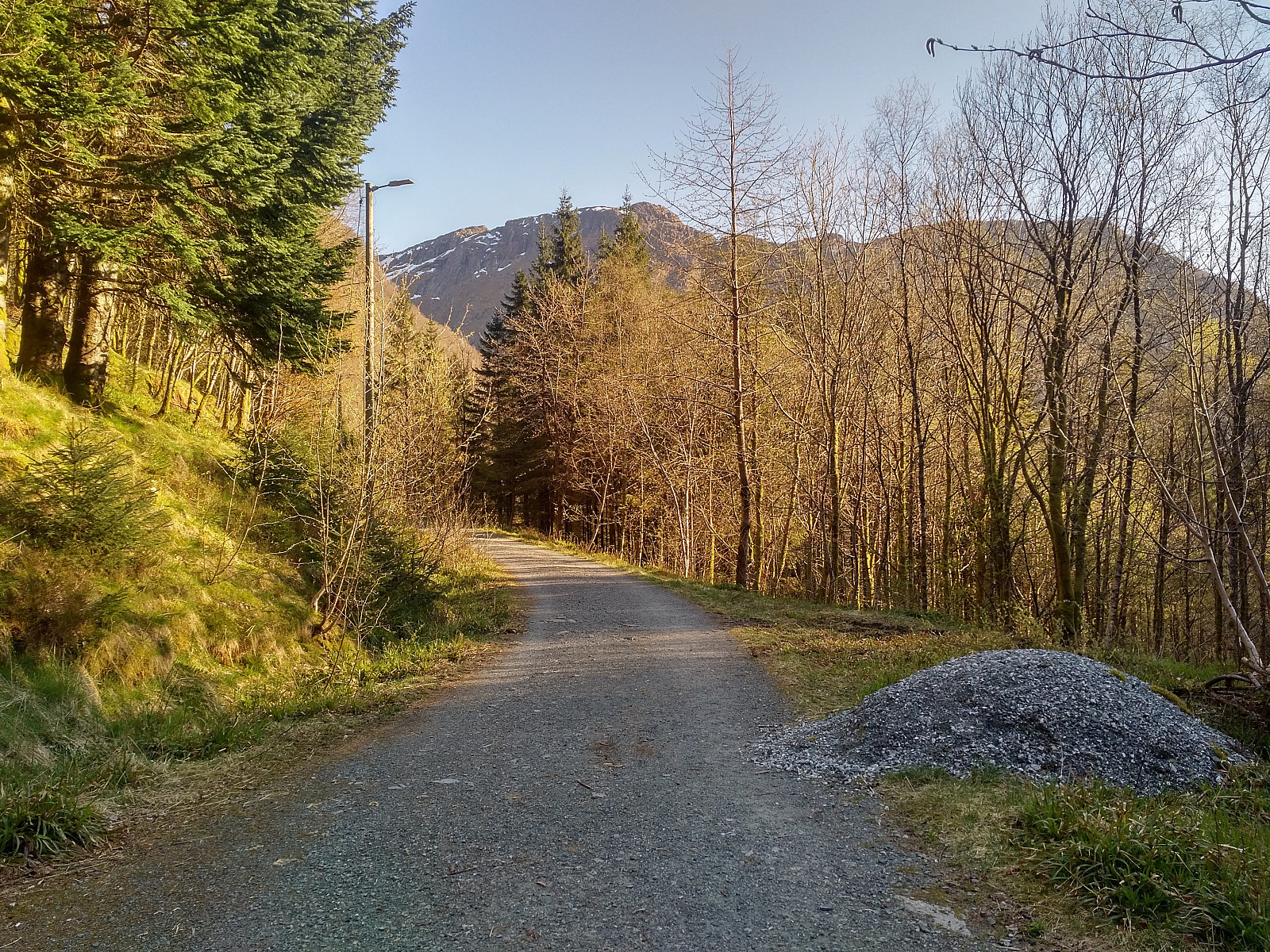
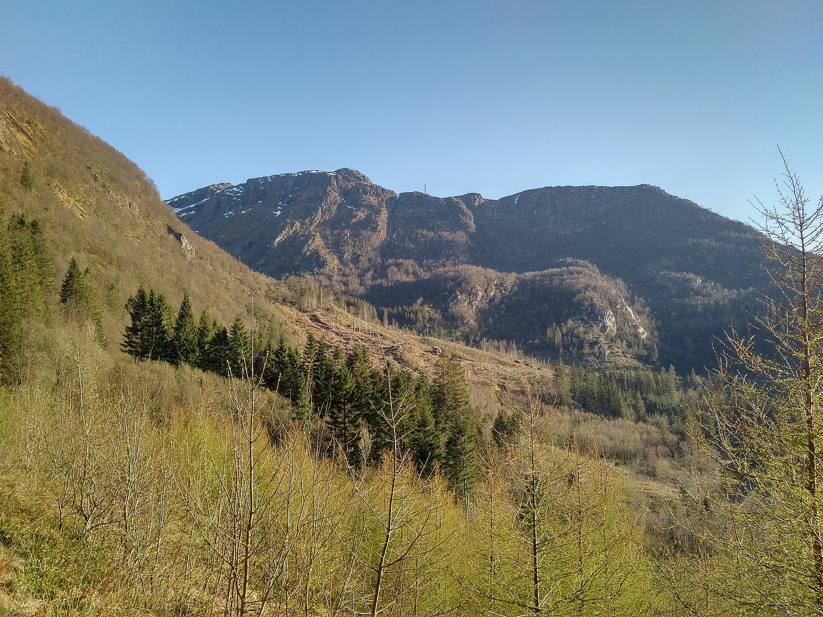
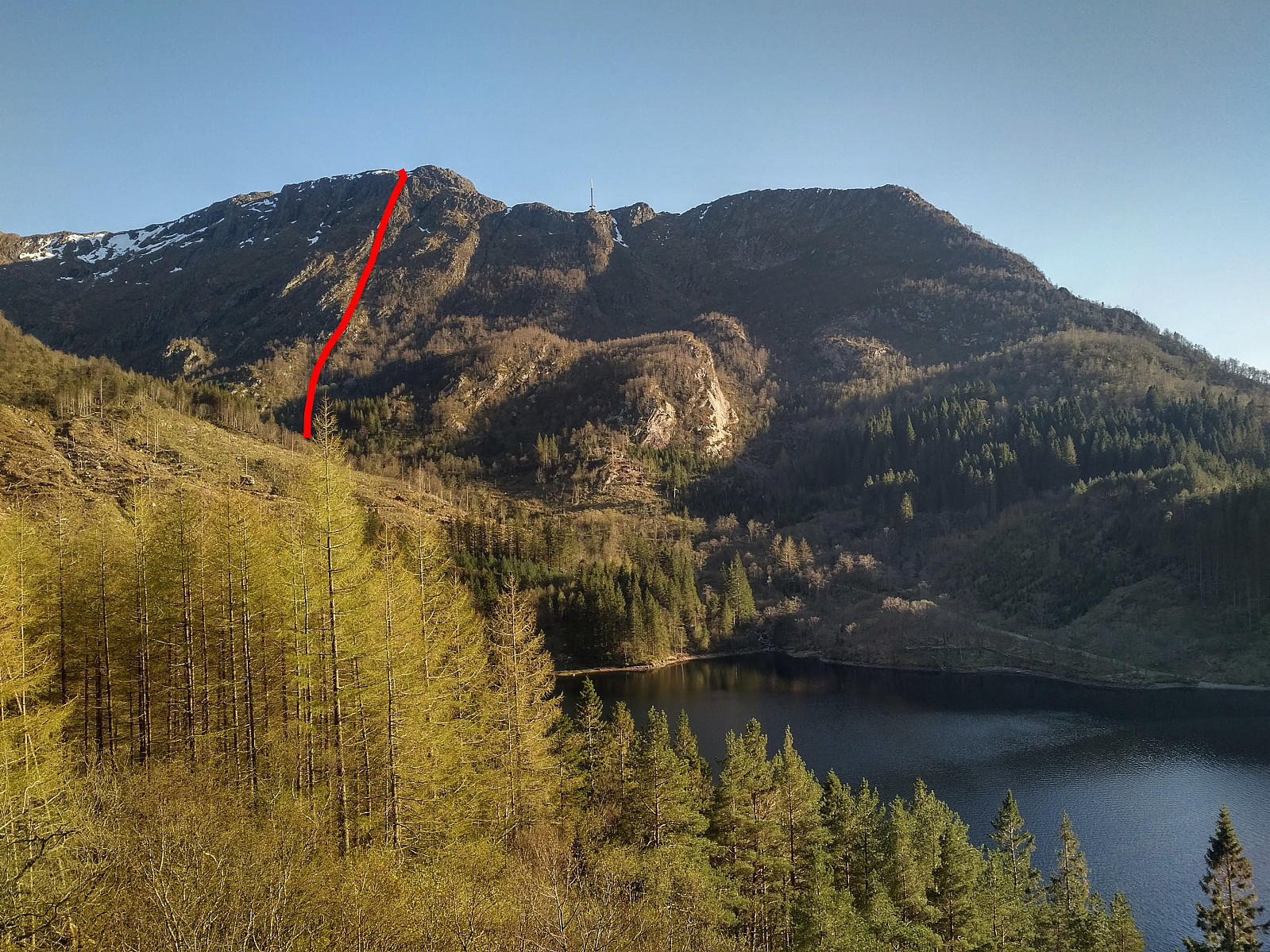
There's a nice forest road around about three quarters of Lake Svartediket, and then there's just a trail up Isdalen valley. I followed this trail for a little less than five hundred meters, and then took to the right, through grass and heather, towards the rear side of mount Ulriken. So, in stead of climbing up one of the usual trails to the top of Mount Ulriken, I climbed up at a spot where there's no trail at all; just a somewhat steep mountain side. The mountain side isn't quite as steep and dangerous as it might seem on pictures, and if you're a little bit used to climbing, it's my opinion that you can climb the mountain side at this spot without a rope, and without any special mountaineering equipment; notably when weather is nice and the ground is dry and not slippery. I have marked out the path that I used by read on image #13. Image #14 is the GPS tracking of the entire trek. It is possible along this path to either choose or avoid some of the steepest spots, as you can choose whether to aim for them, or try to bypass them. This is indeed a nice place to start the climbing season, especially now that all the climbing halls have been closed down due to the Covid19 pandemic. Climbing some not so steep mountains, will hopefully make my arms more fit for climbing when the real climbing season starts during summer, and we embark upon a bit steeper mountains.
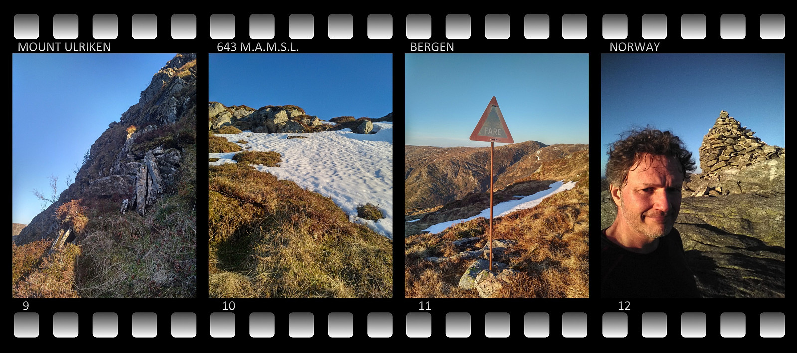
For the descent, I had been thinking of just walking down the stone stair trail, but when I arrived at the start point of the stairs, there was a huge sign saying that it was currently only open for ascending the mountain, and not for the descent, in order to limit spread of Covid19. I therefore chose to descend the mountain along a mountain ridge instead, one that may be called the Montana Ridge, as it goes all the way down to an area of the city that is currently known as "Montana".

User comments