Mountain skiing to Mount Skarven in Rauma Municipality (28.03.2020)


| Startpunkt | Skorgedalen (315m) |
|---|---|
| Endpunkt | Skorgedalen (315m) |
| Tourcharakter | Randonnée/Telemark |
| Tourlänge | 3h 13min |
| Entfernung | 7,0km |
| Höhenmeter | 785m |
| GPS |
|
| Besteigungen | Skarven (1.048m) | 28.03.2020 15:23 |
|---|---|---|
| Søre Skarven (985m) | 28.03.2020 15:23 | |
| Besuche anderer PBE | Parkering Skorgedalen (305m) | 28.03.2020 15:23 |
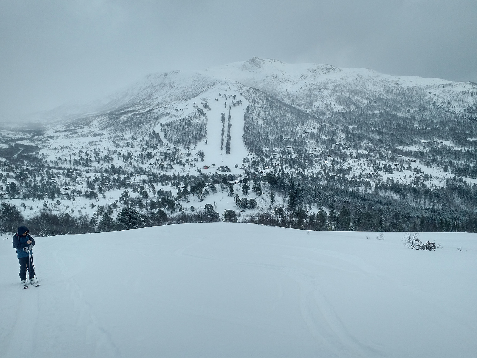
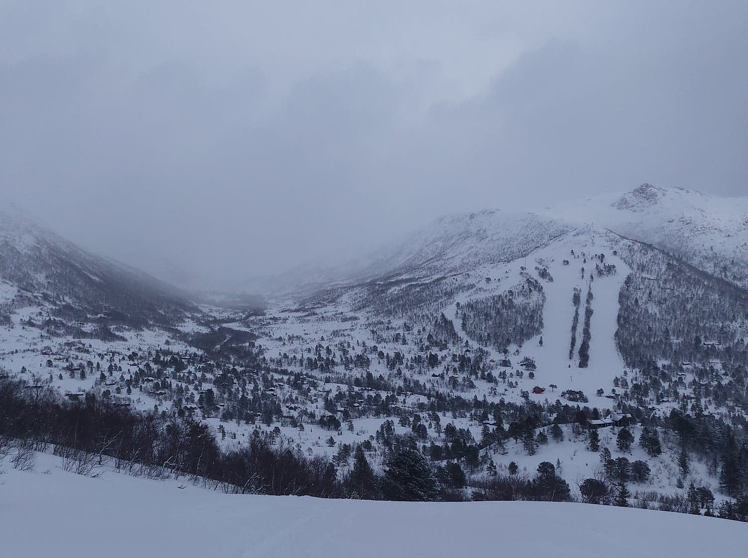
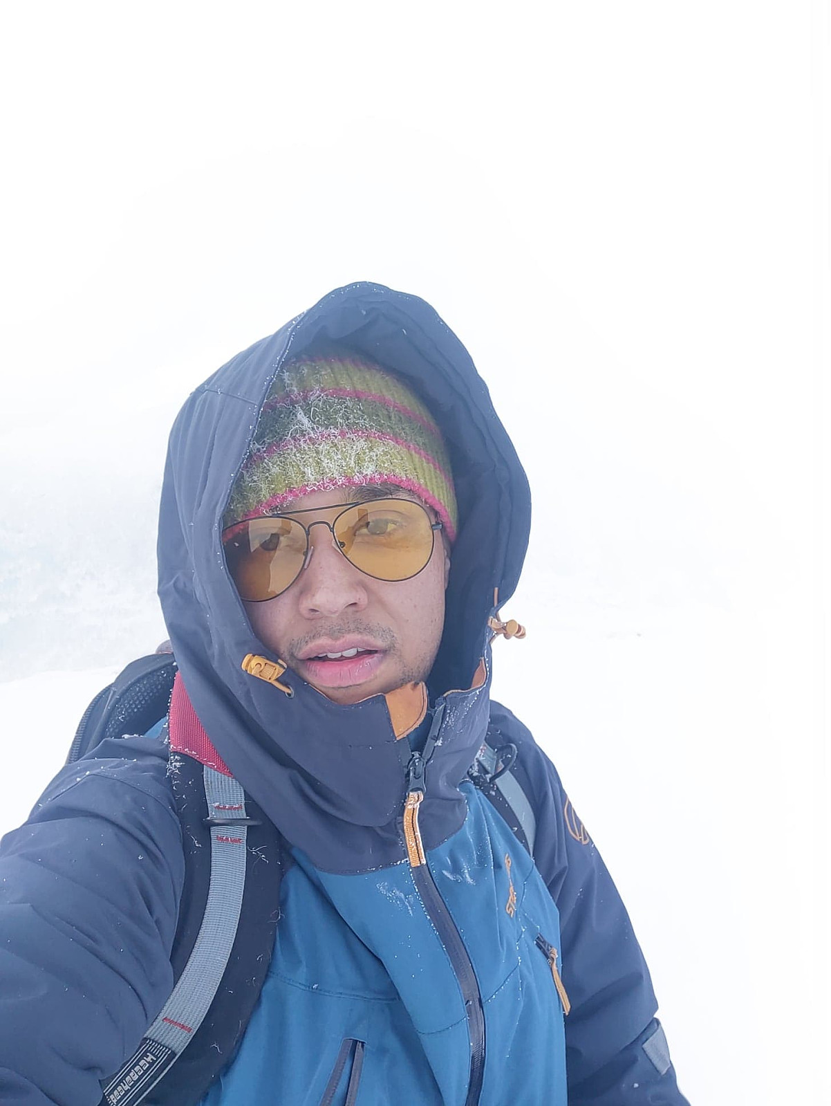
I've named this trip "Mountain skiing to Mount Skarven...", as it was neither a pure Telemark trip, nor was it a pure alpine touring ski trip. It was combined. My son Dag was testing out his touring ski equipment for first time, whereas I was still using my old Telemark equipment. We went to Skorgedalen in Rauma municipality in my son's car, and parked the car at the parking lot in the valley. The parking lot serves a little ski resort in the valley, as well as the many cabins / holiday cottages surrounding it; but the parking lot is huge, and the ski resort was currently closed due to the Covid-19 pandemia, hence finding a spot to park our car was no problem.
We got our equipment on, and started out. The ski trail towards Mount Skarven started right there, hence we didn't have to carry our skis more than to the edge of the parking lot. The first part of our tour was rather straight forward. Others had done this hike before us, so we just had to follow their trails. My son struggled a bit with the binding of one of his skis for the first kilometer or so, but after that we were fine. As we were climbing upwards we soon past a mother with her little daughter, who were aiming at one of the lower peaks that you pass on your way up Mount Skarven. Eager to reach the summit proper, however, we skipped those lower peaks (they're just green PBE's, after all); and we said to ourselves that we could always visit them on our way back down.
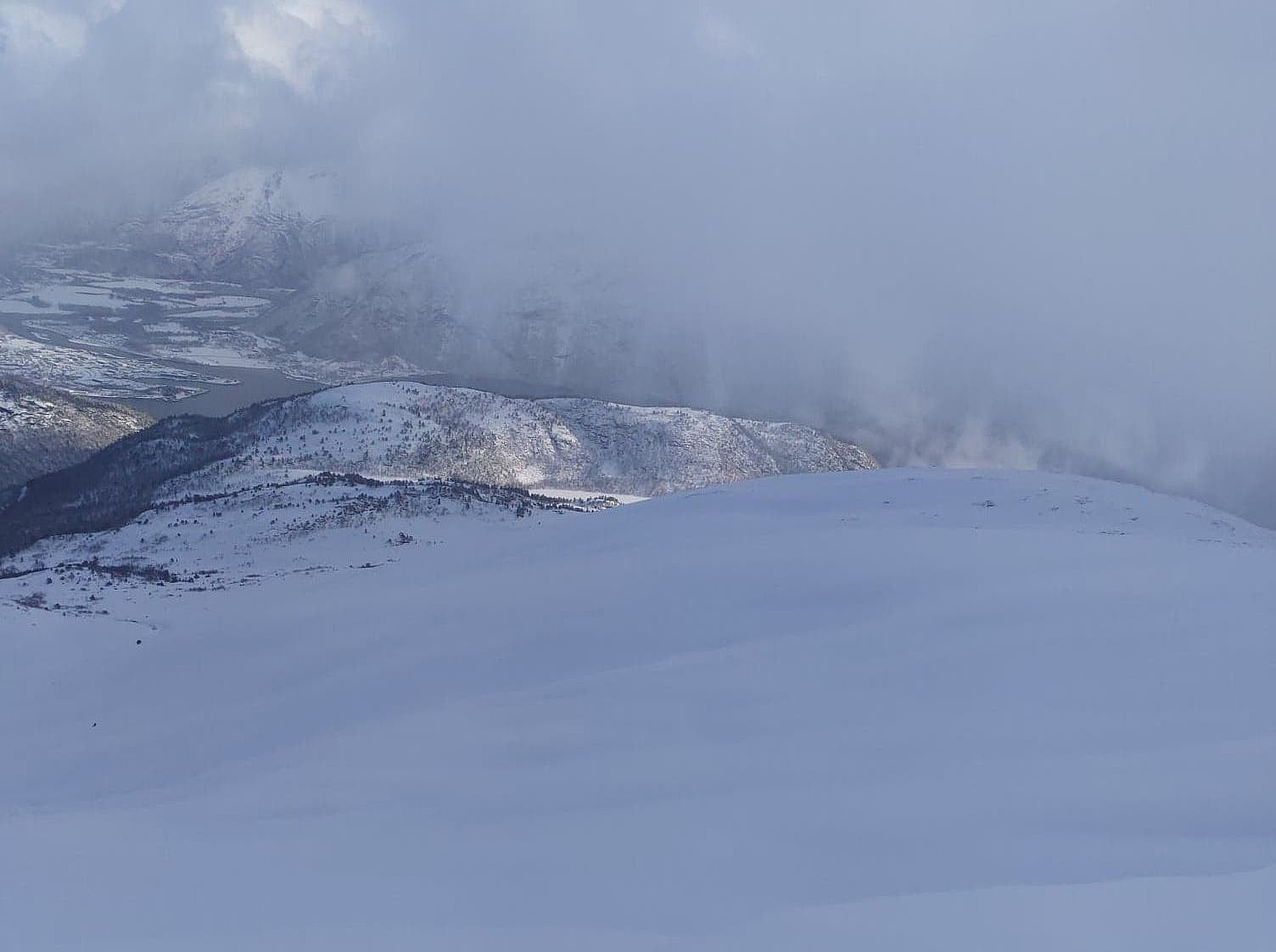
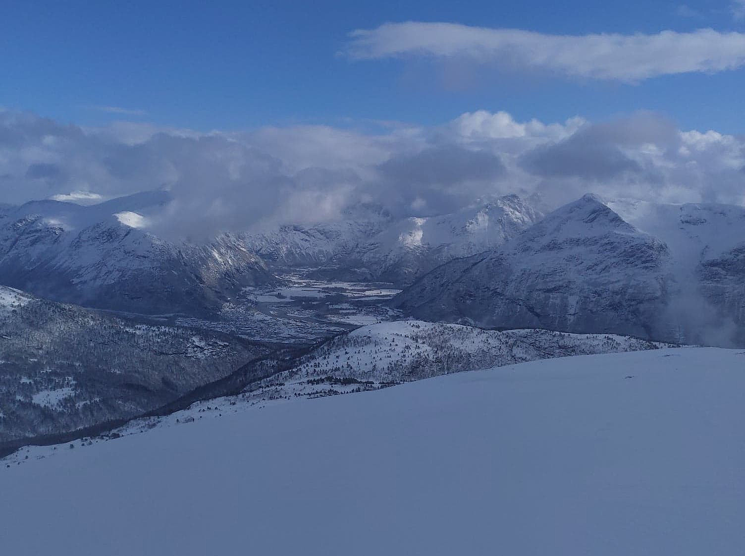
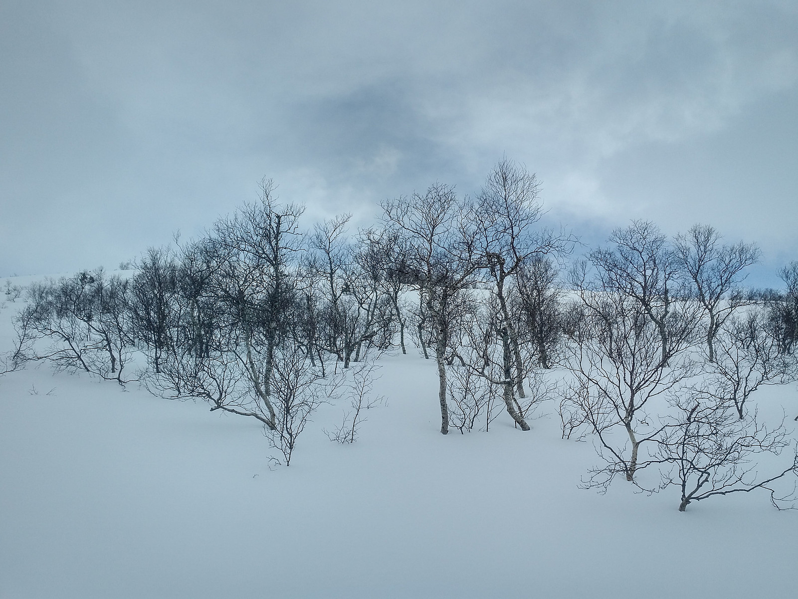
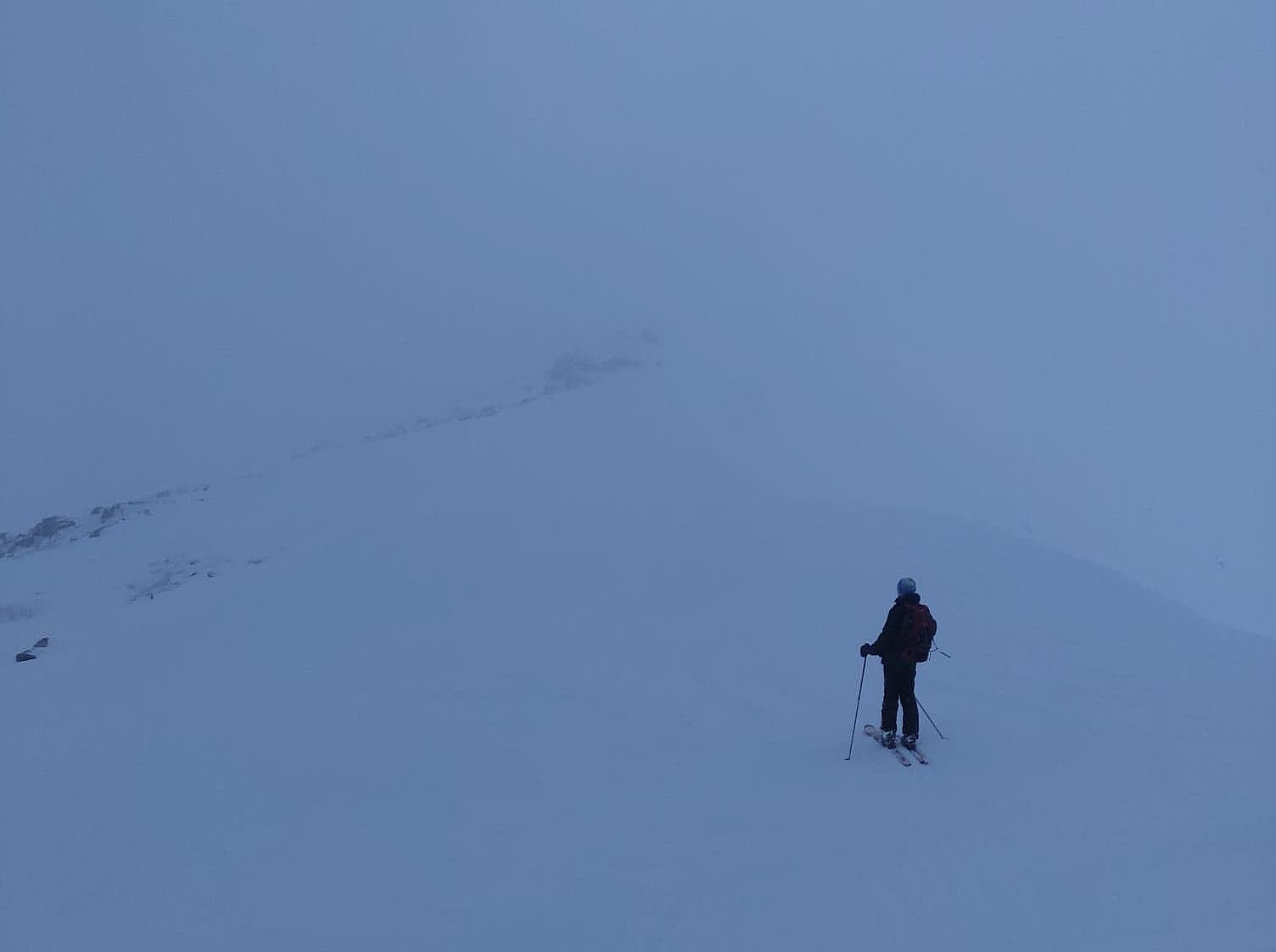
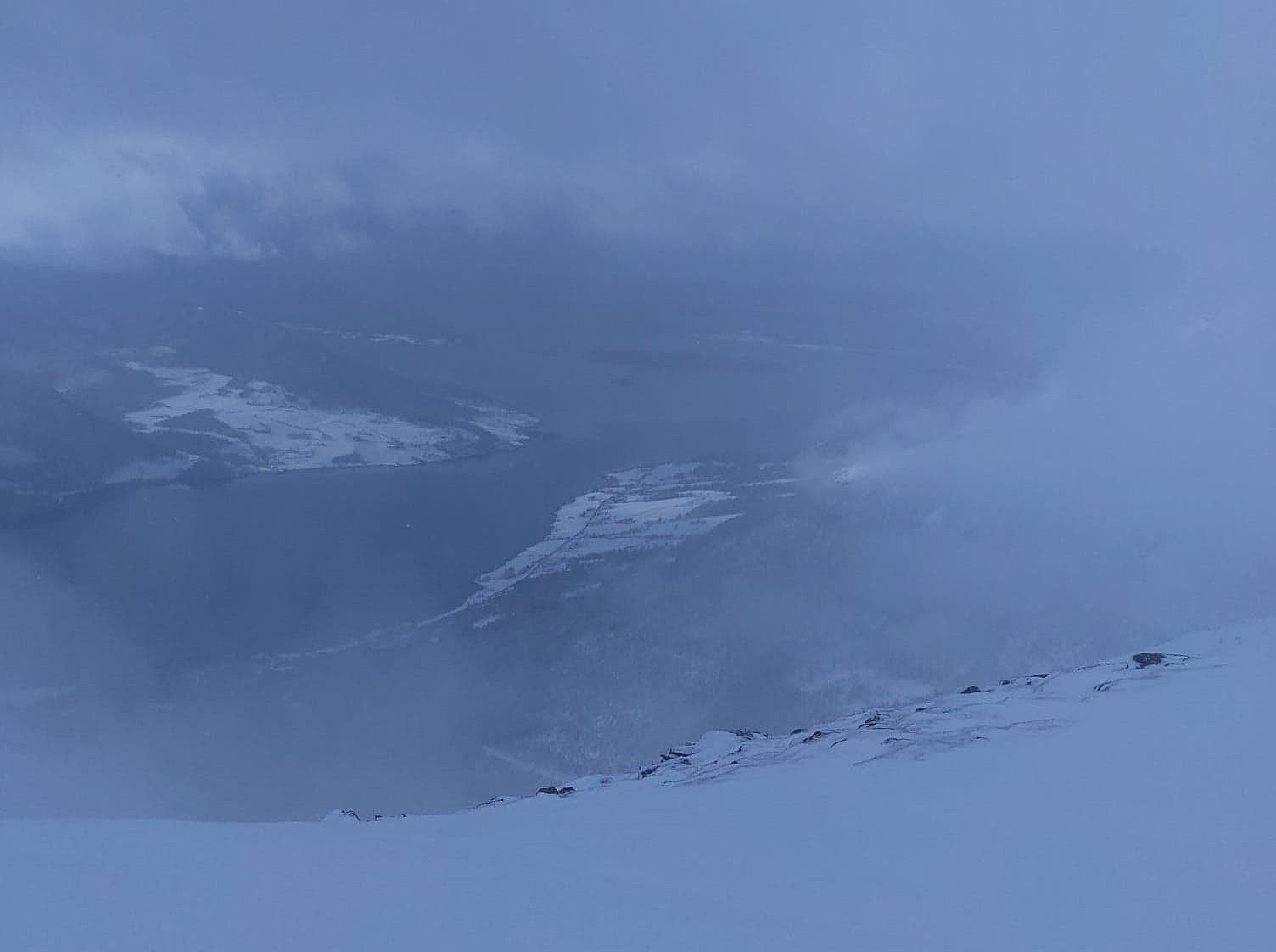
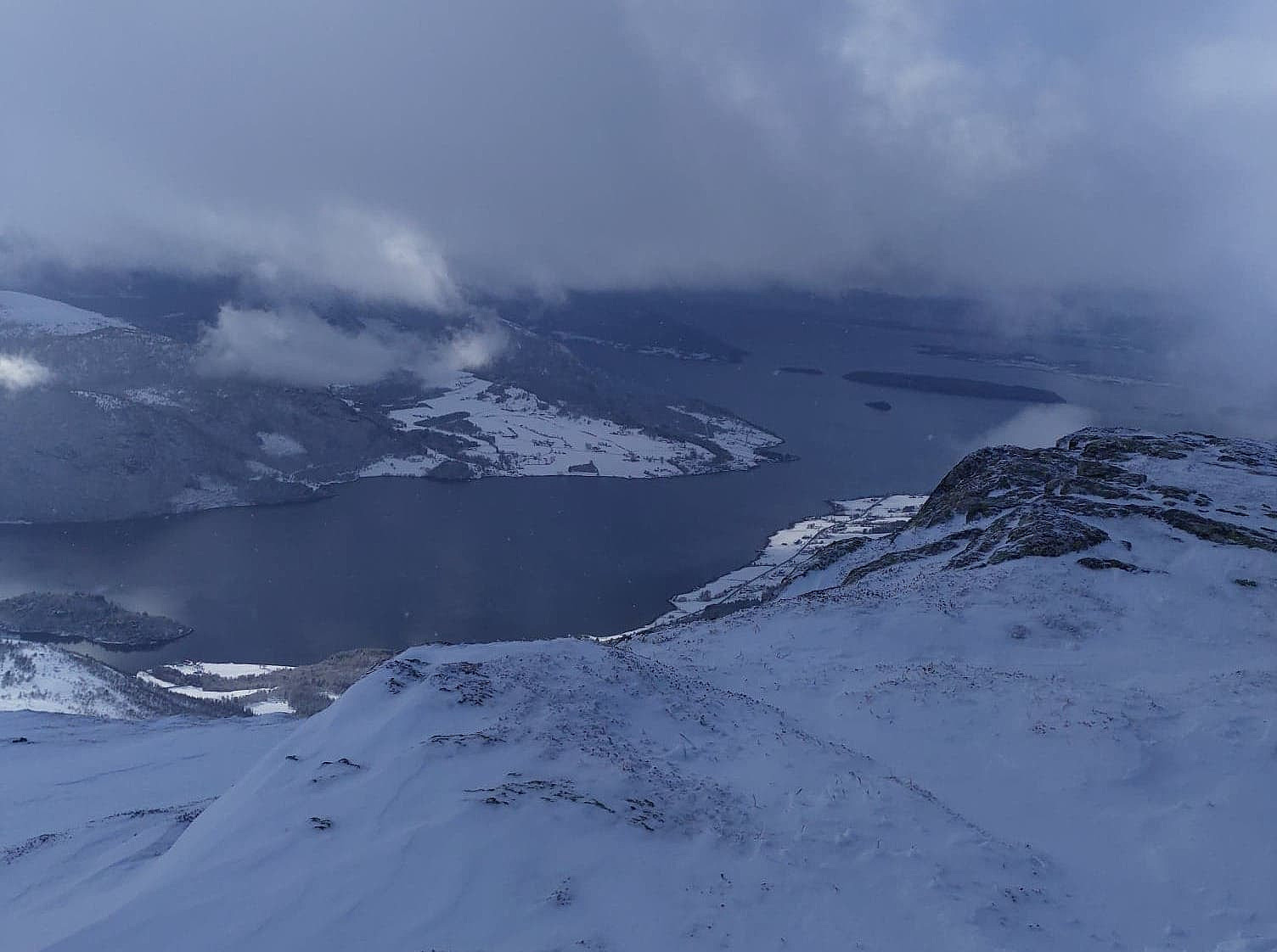
We had quite foggy and snowy weather for most of our hike. The weather was constantly changing, though, hence every now and then we would get a glimpse of the surrounding valleys, fjords and mountains, lasting long enough that we were able to orientate ourselves in relation to the surroundings. In addition, I had with me a reliable GPS, hence we were never afraid of getting lost up there. The weather forecast hadn't been that bad. It was going to snow until about six o'clock, or at least half past five; and then weather was going to be pretty nice.
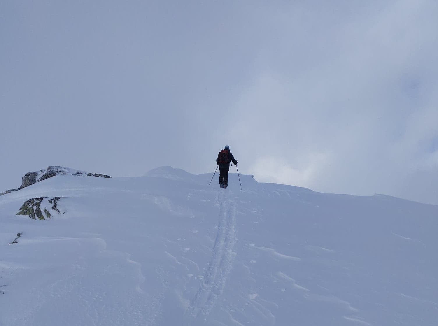
Mount Skarven has a south ridge extending from the summit, and for some reason most people seems to climb the mountain by way of this ridge, although there are those who prefer to climb the mountain directly up the east ridge; which is generally the preferred route back down into the valley of Skorgedalen. My son and I had never been to this mountain before, hence we just followed the "standard route" that I had read about in the tour descriptions, i.e. up the south ridge, then over to the summit are, before skiing down along the east ridge of the mountain.
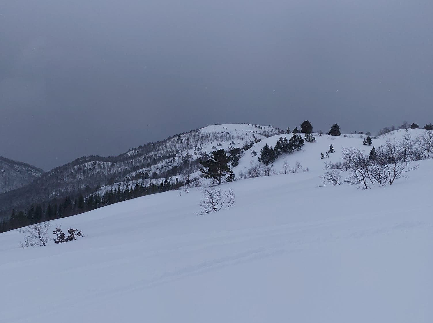
As we reached the edge of the south ridge, we weren't able to see a thing (image #10), but then, as we were making our way northwards, the clouds all of a sudden disappeared (image #11), and from that time visibility was nice for the rest of our trip. As we went from the south ridge over to the summit area, we had to pass a spot where the snow was quite icy, and where the slopes were quite steep down on the west side; hence in order not to slip and slide down in that direction (which would've been extremely dangerous), we took our skis off, and walked on our ski boots for about five meters or so. Had we had ski crampons with us, we would've put them on for the traversing from the south ridge over to the summit, but we didn't have them with us. Skiing back down to the parking lot was fabulous. Weather had improved by now (as predicted by the forecast), and snowing conditions were excellent, with fabulous "powder snow", as it had just ceased snowing.

Benutzerkommentare