Hiking to Mount Geitnausa with my daughter (01.02.2020)

| Start point | Myrdalen, Spjelkavik (85m) |
|---|---|
| Endpoint | Myrdalen, Spjelkavik (85m) |
| Characteristic | Hike |
| Duration | 2h 21min |
| Distance | 8.1km |
| Vertical meters | 744m |
| GPS |
|
| Ascents | Geitnausa (458m) | 01.02.2020 12:51 |
|---|

The town of Ålesund is located on four islands in the county of Møre & Romsdal, beautifully, in between fjords and mountains. One of the four islands, the one called Uksenøya, has a mountain ridge generally referred to as Emblemsfjellet [i.e. the Emblem mountain, after a village called Emblem on the south side of the mountain. This mountain actually have a number of peaks, i.e. Høgkubben, Geitnausa, Vasstrandegga and Merafta.

Now, I've actually been to all of these summits, but the advantage of this mountain is that it is close to the town, and it's easy to get there whenever you want to. So, we drove to a place called Myrdalen, in the part of the town that is called Spjelkavika; and then we set out from there, aiming for the peak called Geitnausa. There actually is a nice forest road that you may follow for the first part of this trek, but if you don't take care, you'll easily end up following the wrong road, which leads to one of the water supply facilities of the town, and not up the mountain side. That has happened to me once before, and it happened to the two of us even on this occasion. [So, if you want to make this little hike by following our GPS track, make sure to follow our descent track even when ascending the mountain, otherwise you end up doing the same mistake as we did].
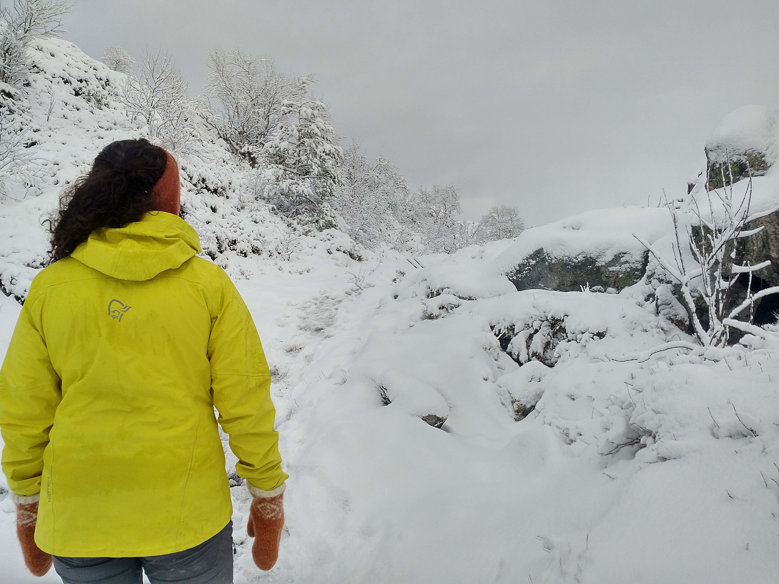
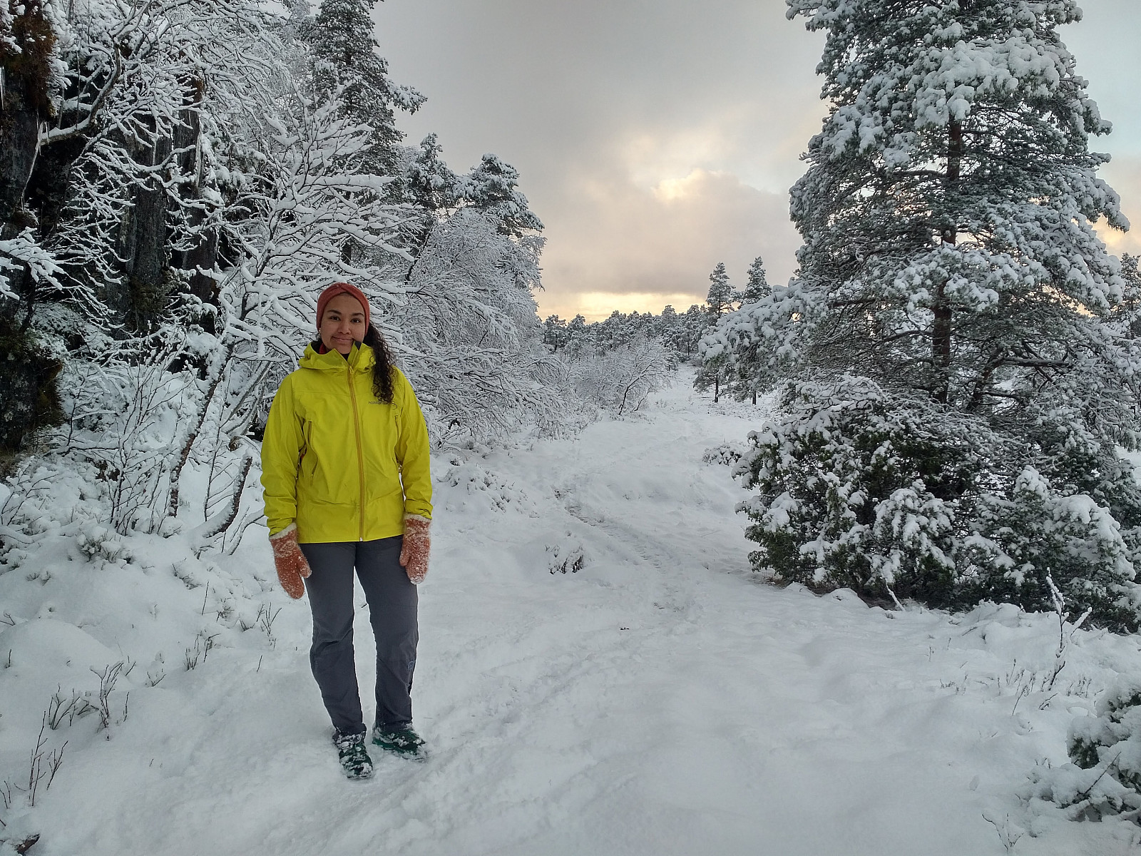
Nevertheless, once at the mentioned water supply facility, there's a trail through the forest that will bring you up to the very forest road that you should've been following even in the first place. This trail is usually easy to follow, but it had been snowing a little this morning, hence it was a little bit more tricky to follow it through the forest. The road then took us a little bit further up the mountain side, before we left it for the trail towards Geitnausa. The trail further on was nice and broad, as it is usually groomed nicely into a cross country ski trail by snowcat piste bashers, whenever there's sufficient snow. This winter, however, snow had been scarce until now, hence the ski trail had not yet been prepared. Underneath the little snow that had fallen the last 24 hours, the ground was soft and wet, without any frost; hence wherever the trail was running across marshland, we had to take a bit care where to set our feet.
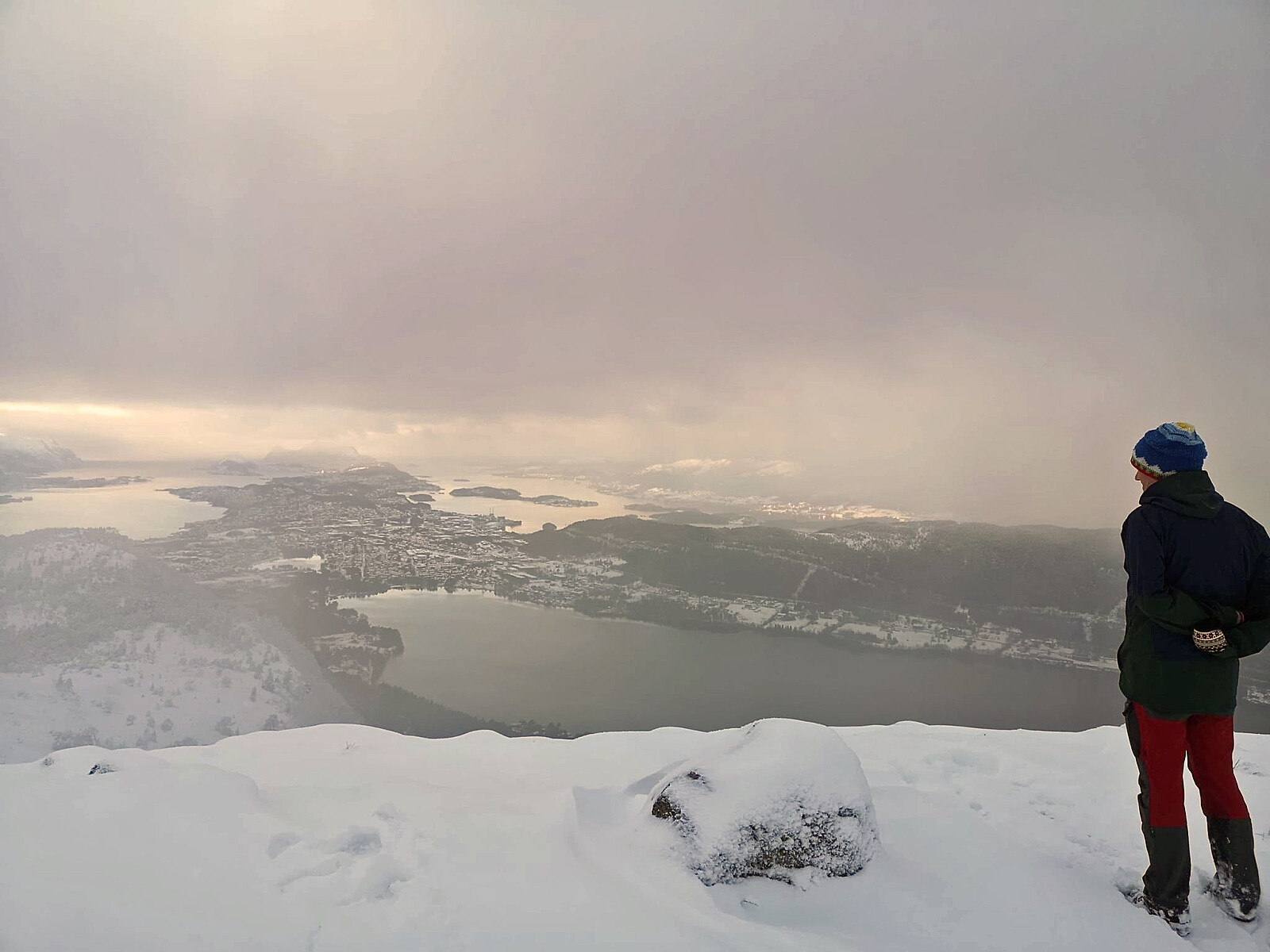
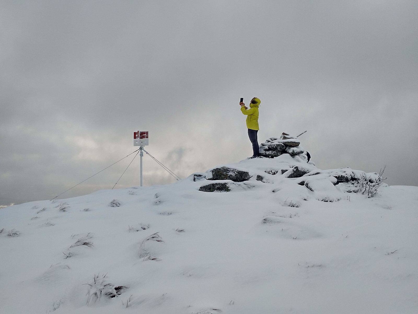
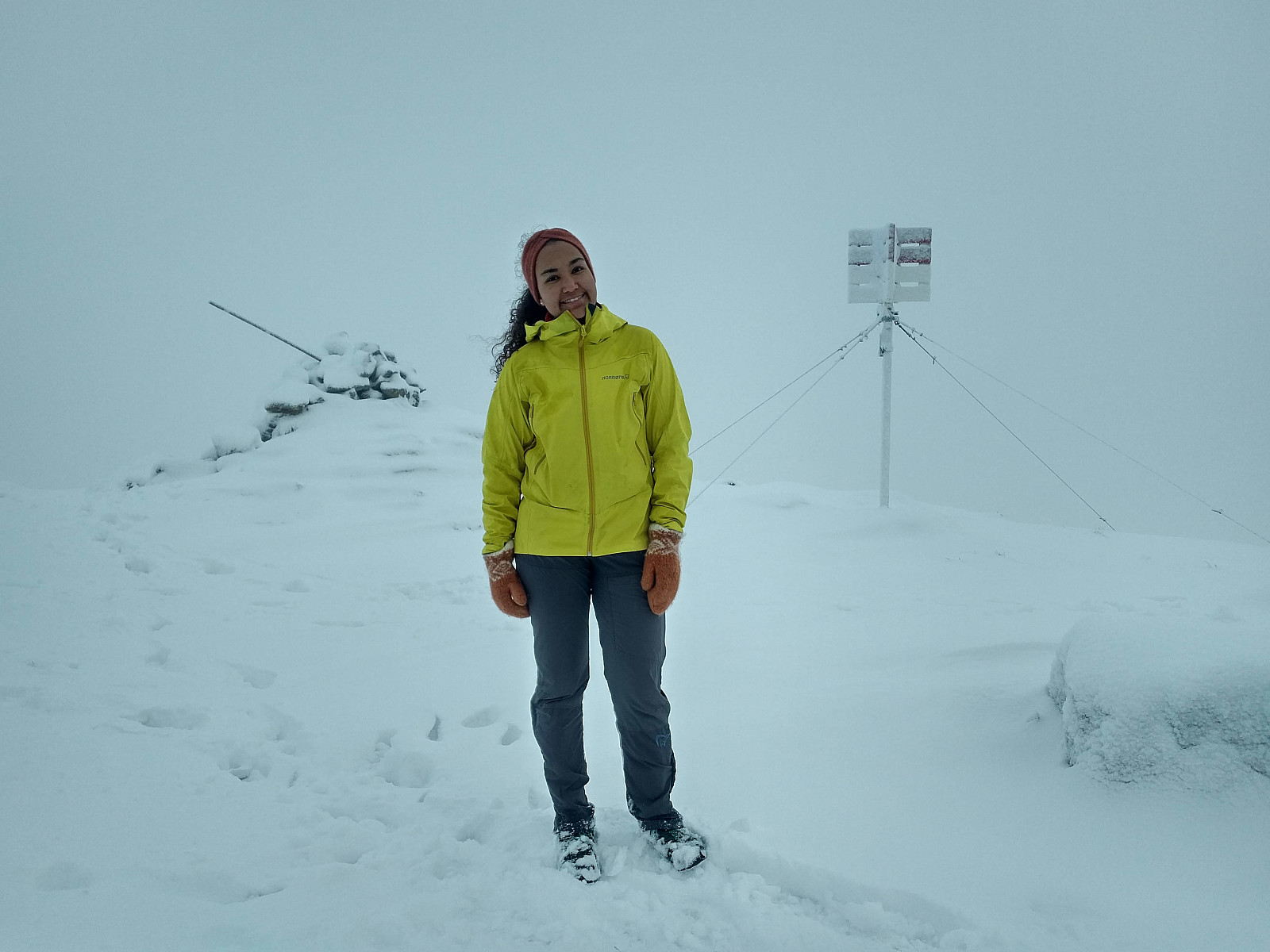
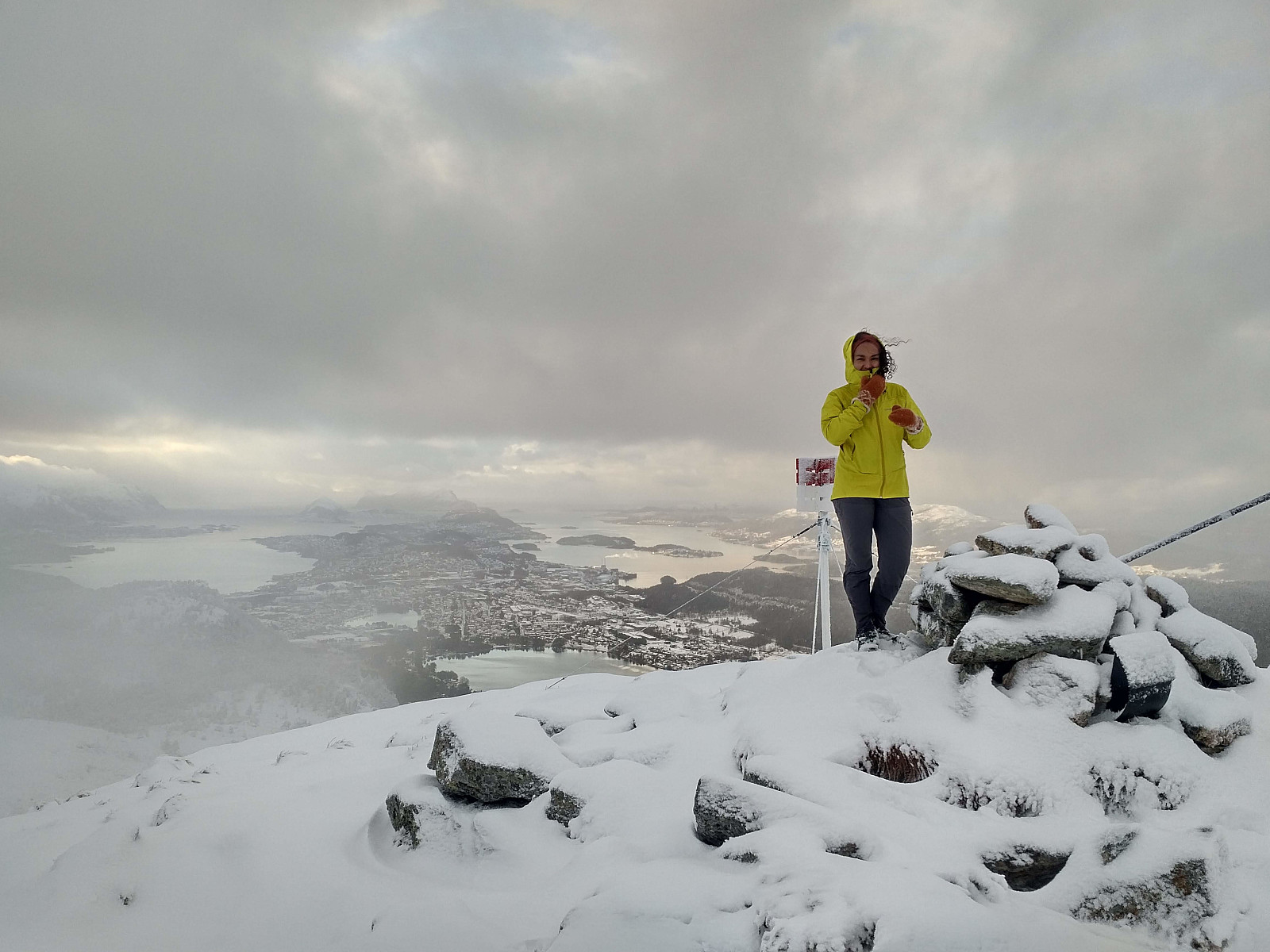
A bit higher up, we left the marshes, however, and from there the ground was mainly rocky. The trail up there was largely covered by snow, but I've been to this peak before, so it was still easy to find the way. At the summit clouds were coming and going all the time. One moment you could have a nice photo with Ålesund in the background, whereas in the next moment you couldn't even see the town from up there. We didn't spend many minutes at the top, before turning around towards home. The track back down was the same as we had used for the ascent, apart from the lower part, where we used the forest road to get back down, and not the tiny trail through the forest.

User comments