To Mount Vasstrandegga in Rainy Weather (11.01.2020)

| Startsted | Østrem (45moh) |
|---|---|
| Sluttsted | Østrem (45moh) |
| Turtype | Fottur |
| Turlengde | 3t 45min |
| Distanse | 13,7km |
| Høydemeter | 693m |
| GPS |
|
| Bestigninger | Vasstrandegga (563moh) | 11.01.2020 |
|---|---|---|
| Vasstrandfjellet (531moh) | 11.01.2020 13:33 | |
| Andre besøkte PBE'er | Sirigrova parkering (45moh) | 11.01.2020 13:33 |
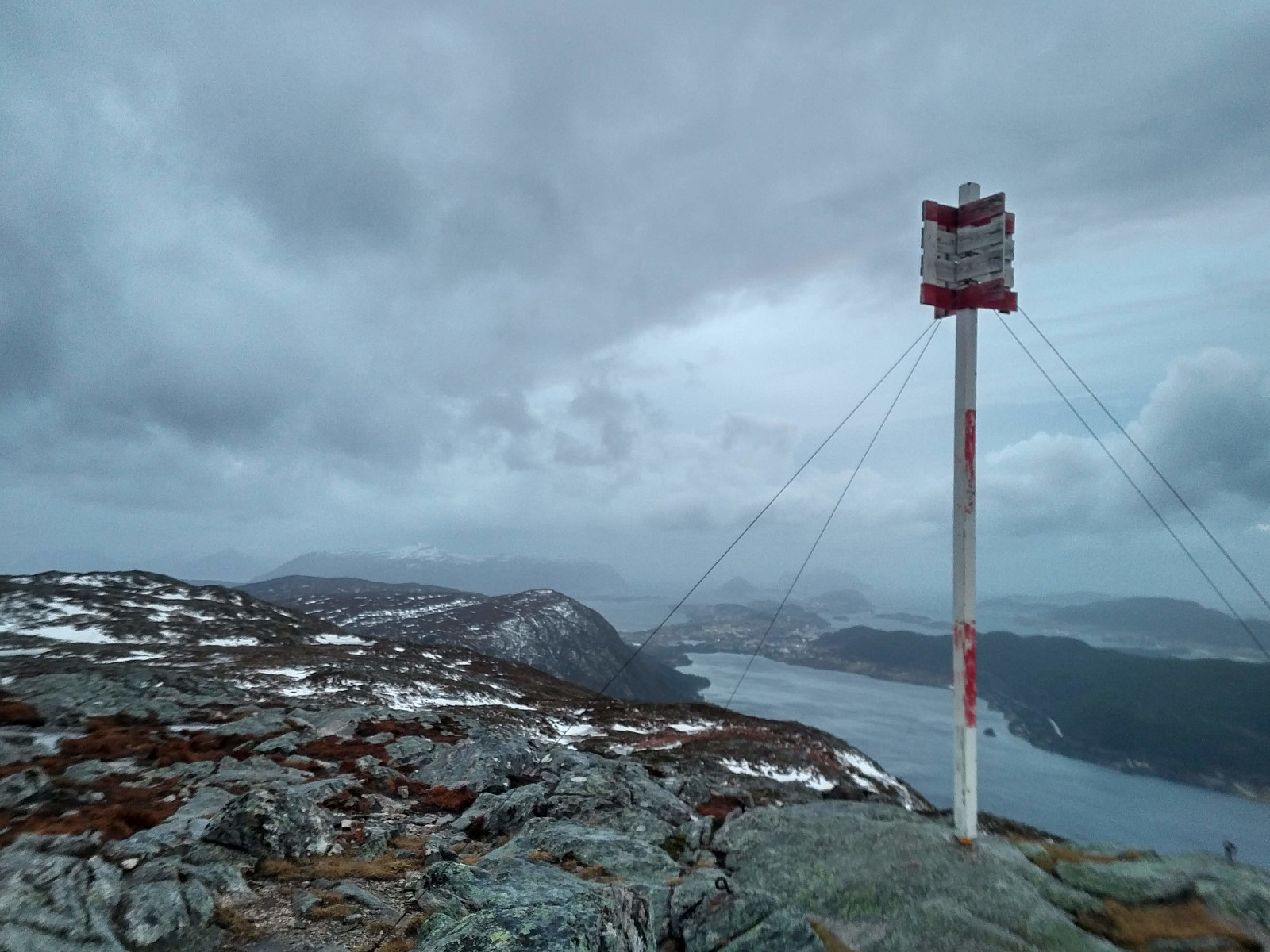
We had a hike to the mountain called Vasstrandegga on this day, my son and I. We started out from a parking lot in a hollow called Sirigrova. This parking lot is mainly used by trekkers intending to ascend one of the nearby mountains, hence it wasn't the first time we parked there. There's a little mountain road winding its way through the valley Østremsdalen up to a cluster of cottages called Østremssætra, once used for caretakers of domestic animals (mainly sheep) when they were grazing in the mountains during summer. We followed the road up to Østremssætra, then took left along a tiny forest path, which we followed upwards into the mountains. We lost the trail at some point during our climb, due to some slight amount of snow here and there, but it didn't really matter much, as we had been on Vasstrandegga before, and weather today allowed us to actually see the mountain while on our way.
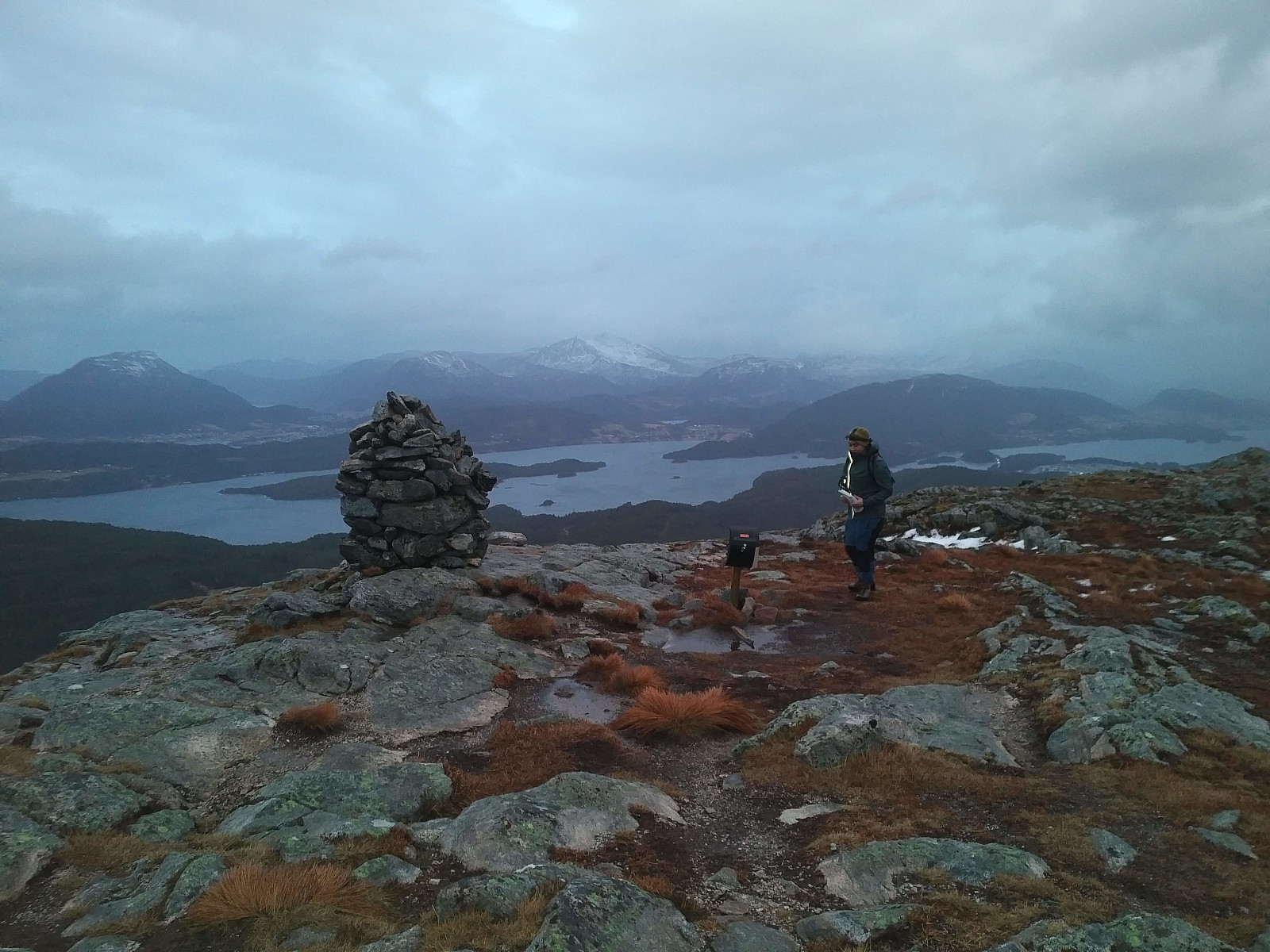
As we embarked upon our descent from the mountain, we took more care to make sure we didn't loose the track again. We followed a different trail down from the mountain, however, just for variation, but even this trail takes you back to Østremssætra, hence the last part of our descent followed the same route as we had followed up to Østremssætra (see our GPS tracking).

Kommentarer