Icy Hike to the Peaks Litlehornet and Uggedalshornet (28.12.2019)

| Start point | Søvikdalen Parking Spot (81m) |
|---|---|
| Endpoint | Søvikdalen Parking Spot (81m) |
| Characteristic | Hike |
| Duration | 1h 49min |
| Distance | 5.5km |
| Vertical meters | 728m |
| GPS |
|
| Ascents | Litlehornet (467m) | 28.12.2019 |
|---|---|---|
| Uggedalshornet (441m) | 28.12.2019 | |
| Visits of other PBEs | Søvikdalen p-plass (81m) | 28.12.2019 |
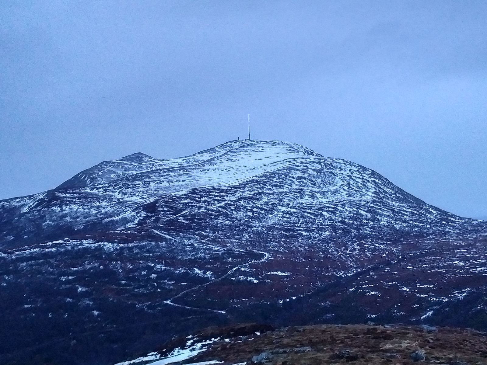
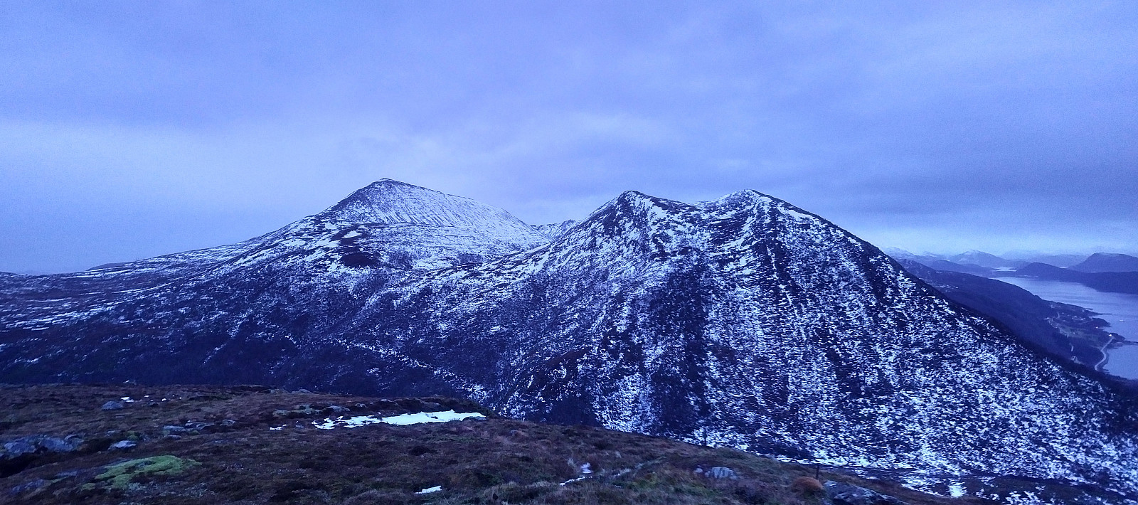
We have ascended Mount Gamlemsveten multiple times, my son and I but there have been a number of smaller mountains around Gamlemsveten that we haven't climbed yet; or at least I haven't, as my son have climbed a lot of mountains that I have yet to climb. So, we decided on this day to climb some of the nearby less-than-500-meters mountains, and took my son's car to the usual parking lot in Søvikdalen valley. The initial part of the route was the same as when we climbed Mount Storehornet and Mount Skålbotsheia 3 weeks earlier; i.e. you pass by a shooting range located about 800 meters from the parking lot, and then climb up from the innermost "bottom" of the valley, into a hanging valley called Engsetskaret and located at an elevation about 200 meters above the main valley [i.e. about 350 m.a.m.s.l.]. Once in Engsetskaret, you take a path up the mountain side on the right side i you want to climb Mount Litlehornet [i.e. "The Little Horn"] whereas if you want to climb Storehornet ["The Big Horn"], you continue through most of the narrow valley between Litlehornet and Storehornet; and then take a path up on the left side.
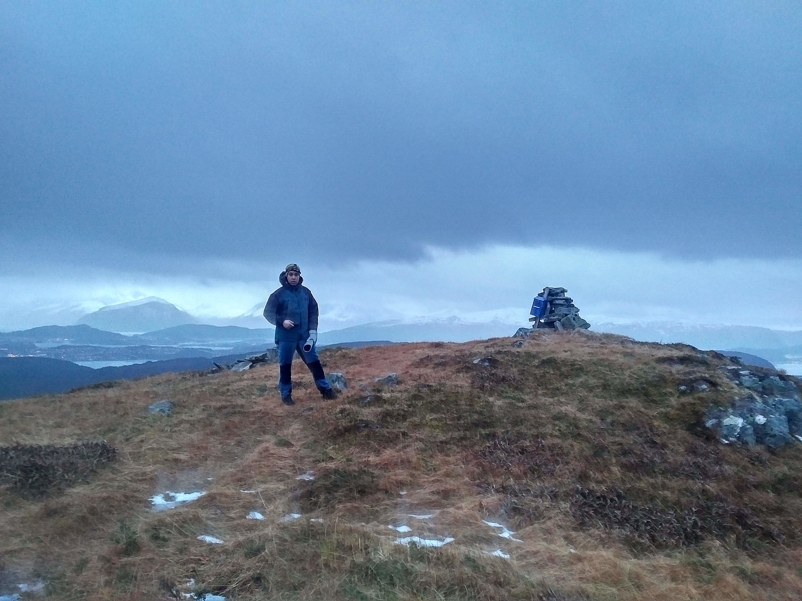
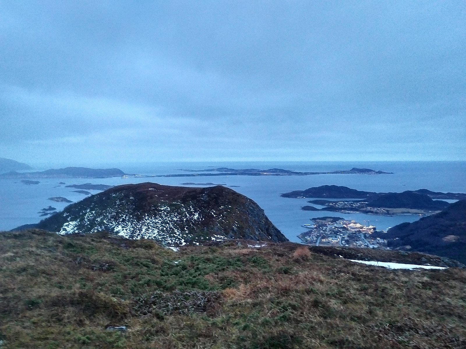
The climb up to the summit of Litlehornet was rather straight forward, as there wasn't much snow on this particular day. On top of the mountain we just captured a few photos, and then went back to the trail that we had been following, and followed it further on, as it continued down to Mount Uggedalshornet. Uggedalen is a valley located just west of this peak, and the peak got its name from that valley. From this peak the trail continued further west, into a little gorge between Uggedalshornet and the smaller Mount Uføra (225 m.a.m.s.l.). We didn't bother to visit this latter mountain, however. From the gorge between the two mountains, you can just follow the high voltage power line that goes through the gorge down to the village of Søvika, and so we did. Once back down in the valley, the road back up to where we had parked our car was straight forward.

User comments