To Mount Gamlemsveten in Not So Much Snow (14.12.2019)

| Start point | Søvikdalen Parking Spot (81m) |
|---|---|
| Endpoint | Søvikdalen Parking Spot (81m) |
| Characteristic | Hike |
| Duration | 2h 21min |
| Distance | 9.0km |
| Vertical meters | 721m |
| GPS |
|
| Ascents | Gamlemsveten (791m) | 14.12.2019 |
|---|---|---|
| Visits of other PBEs | Søvikdalen p-plass (81m) | 14.12.2019 14:24 |
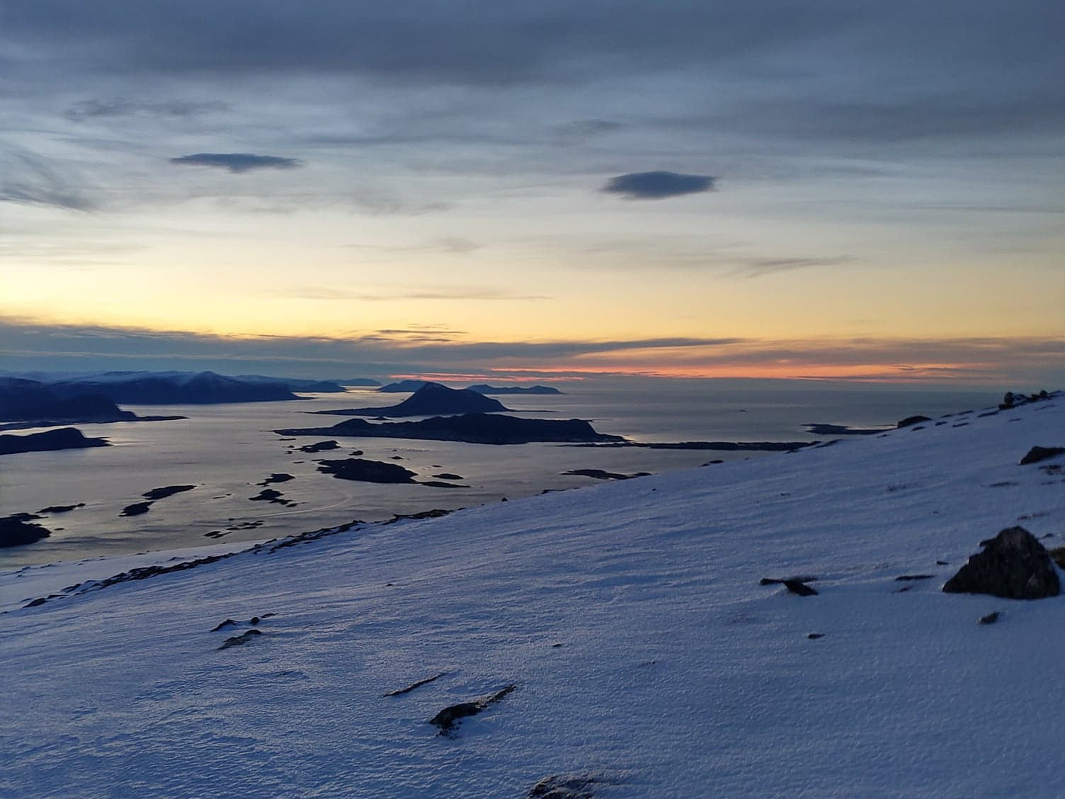
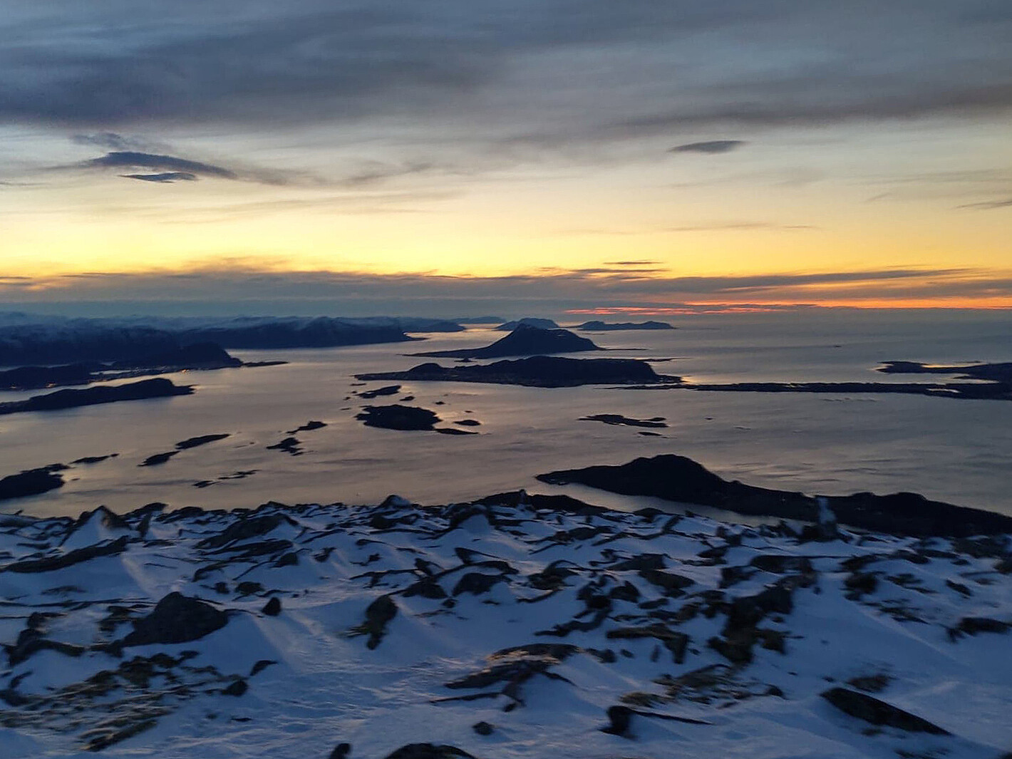
The amount of snow along the Norwegian west coast is varying quite much throughout the winter, as well as from one winter to another. Typically, low pressure weather systems that come in from the northwest bring snow, whereas those coming in from the southwest bring rain; and so the snow may come and go as the whether changes. On this day, therefore there was some snow in the mountains along the coast, but not very much.
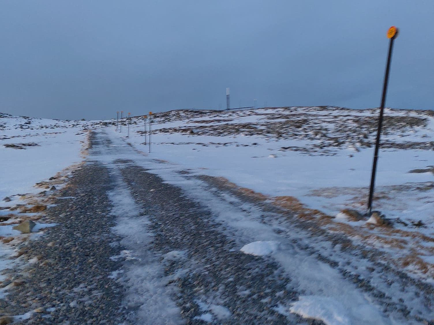
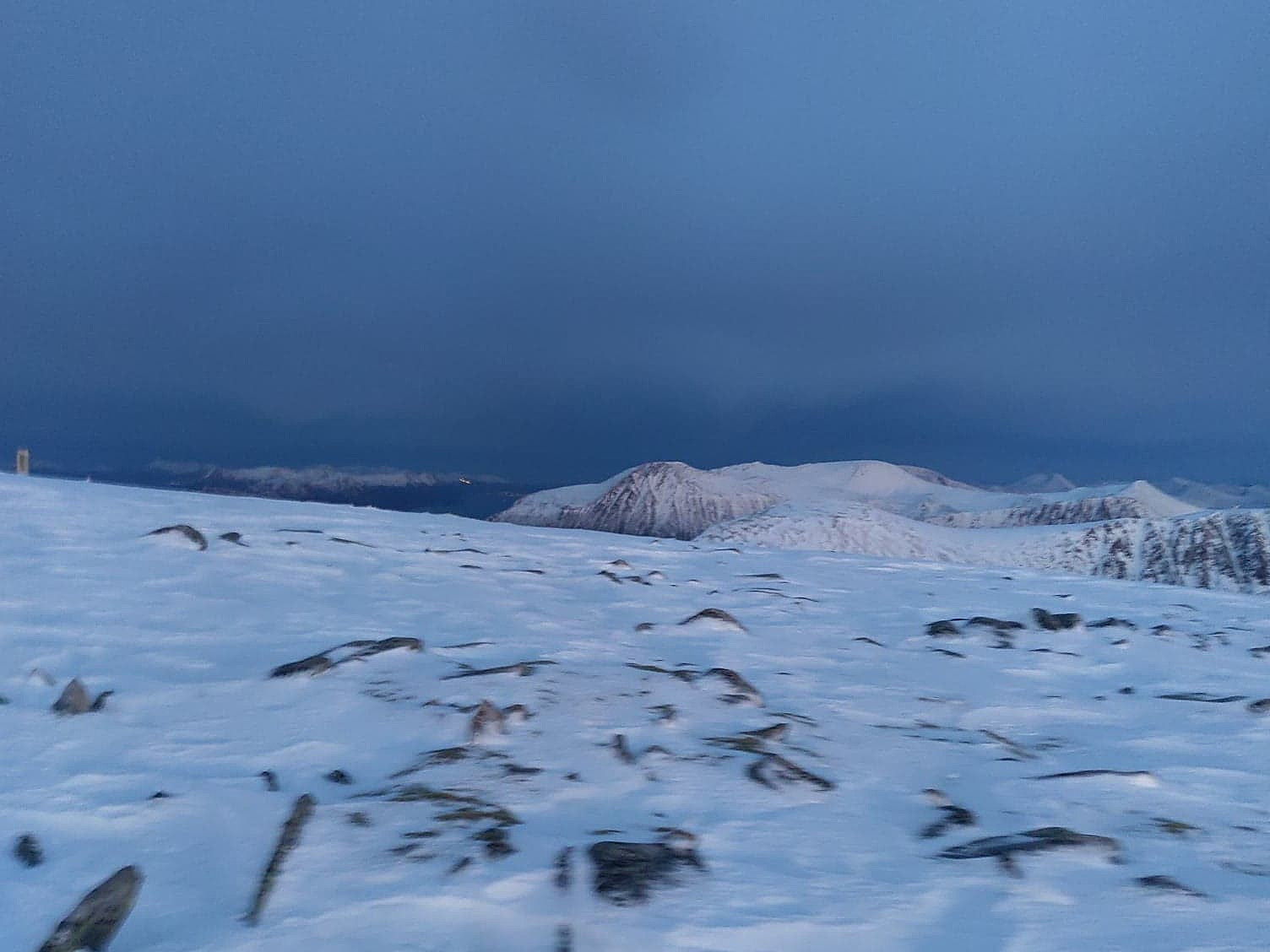
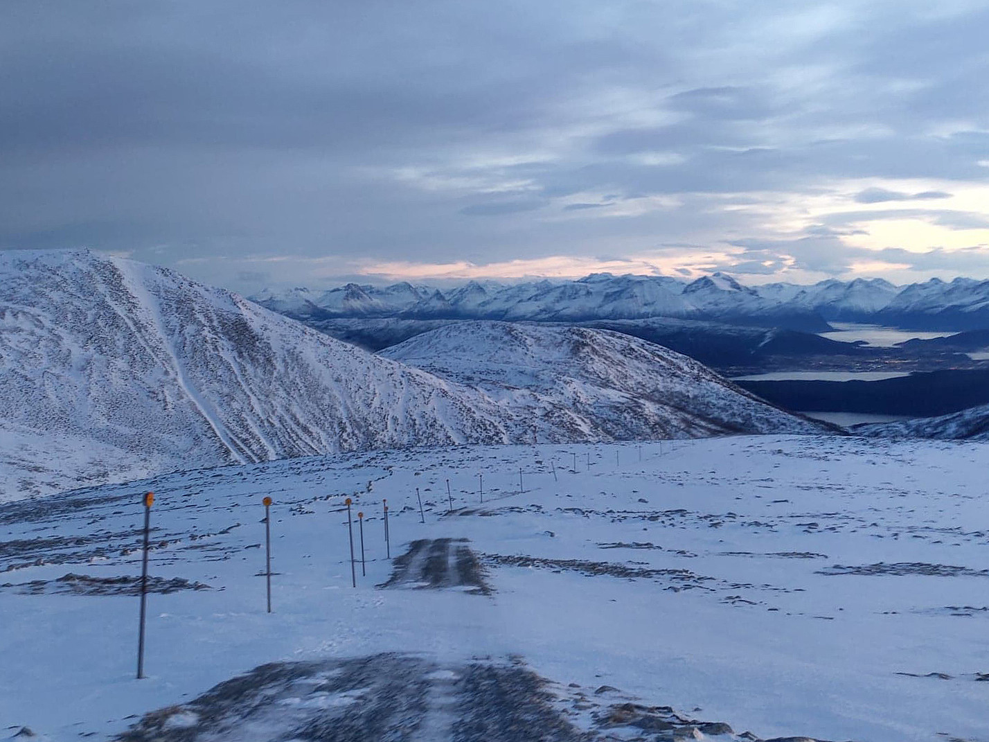
We've climbed Mount Gamlemsveten many times, my son Dag and I, so this is a very familiar mountain to us; especially to Dag, as he has climbed it many more times than what I have done. I did, however, once even climb it on a 29" Gary Fisher bicycle; something he hasn't done; hence I tend to claim it's a little bit my mountain too... We drove to the usual parking lot in the valley above Søvika in Haram municipality, parked our car there, and started walking. There is a quite nice gravel road leading up to the very summit of the mountain. The road was once made as a construction road for vehicles carrying materials to the construction of the TV transmitter on top of the mountain. It is quite steep, however, hence climbing up there on a bicycle is quite a challenge; whereas climbing the mountain on foot has been made quite easy by the presence of the road. When climbing the mountain along this road we have sometimes been wading in snow to our knees. On this day, however, snow was barely to our ankles, hence the greatest challenge was hidden spots of ice under the snow, which made the road extremely slippery at places.
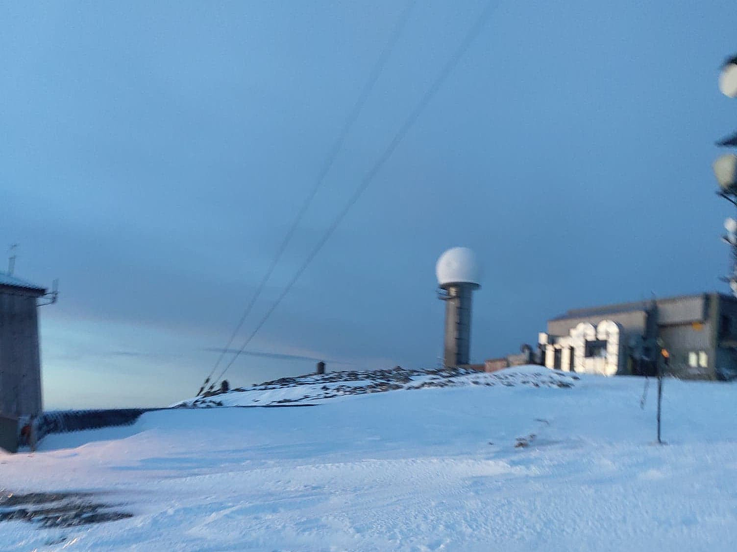
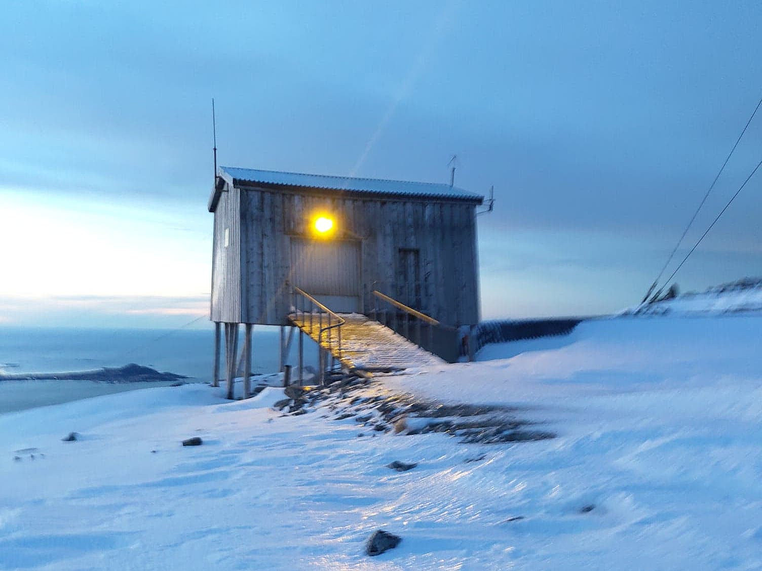
We followed the road to the top of the mountain. As is customary during winter, though, we avoided the very summit, which is beneath the huge TV transmitter antenna; as there might be ice falling down from the mast, as well as from the guy lines supporting it. There is a mailbox with a book in which you may register your climb at the basement of a nearby little building, and so we just wrote our names in the book, and then started our descent along the same road that we had used for the climb.

User comments