To Mount Storhornet and Mount Skålbotsheia in Snow (07.12.2019)

| Startpunkt | Søvikdalen Parking Spot (81m) |
|---|---|
| Endpunkt | Søvikdalen Parking Spot (81m) |
| Tourcharakter | Wanderung |
| Tourlänge | 3h 10min |
| Entfernung | 8,9km |
| Höhenmeter | 1.030m |
| GPS |
|
| Besteigungen | Skålbotsheia (615m) | 07.12.2019 |
|---|---|---|
| Storhornet (584m) | 07.12.2019 13:40 | |
| Besuche anderer PBE | Søvikdalen p-plass (81m) | 07.12.2019 |
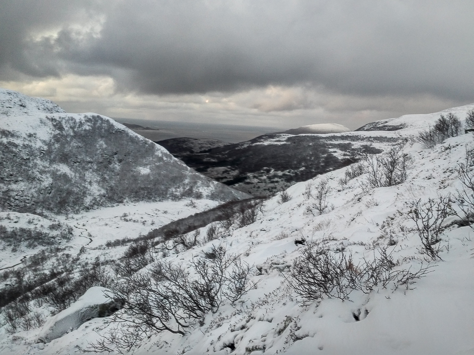
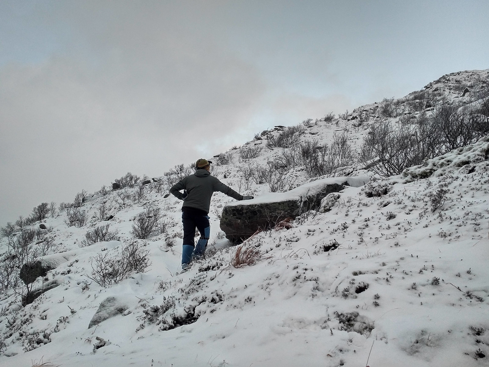
I have previously visited many of the mountains in the municipality of Haram, a municipality that is soon to be merged with the town of Ålesund. While ascending mount Tverrbotshornet and mount Gamlemsveten, I have been looking at a number of smaller peaks and mountains in the vicinity, desiring to ascend even them. My son Dag had been on most of them, however, and on this day he agreed to take me up to one or two of them. (During summer, I could've found my way up there by myself, but on this day there was about 30 cm of snow along most of the route, hence you wouldn't be able to follow the trail unless you knew where it was). We drove to Søvikdalen parking lot, and started trekking from there. We followed a forest road further into the valley. After about 800 meters, we came to a shooting range. If the flag is up you can't continue along the trail, because it crosses the shooting range. The flag wasn't up, however, so we could continue. The trail continued to the end of the valley, then up a quite steep mountainside, and then into another valley, located between the mountain Storhornet [i.e. "The Big Horn"] and Litlehornet [i.e. "The Litle Horn"]. It is a bit strange that the summit of Storhornet carries a name like this, as it has a vertical separation of only 14 meters. It is probably because it looks like an independent large peak from the villages beneath it, and because the slightly higher Skålbotsheia, with which it is connected, is hidden behind it. The trail up to Mount Storhornet was very well marked by red colour. Some places a read block of wood was hanging down from a branch on a tree, other places a large red spot had been painted right onto the stem of a tree. The tricky places, however, was where the red spots had just been painted onto stones on the ground. At these places the trail could be difficult to find, as the stones were mostly covered by snow.
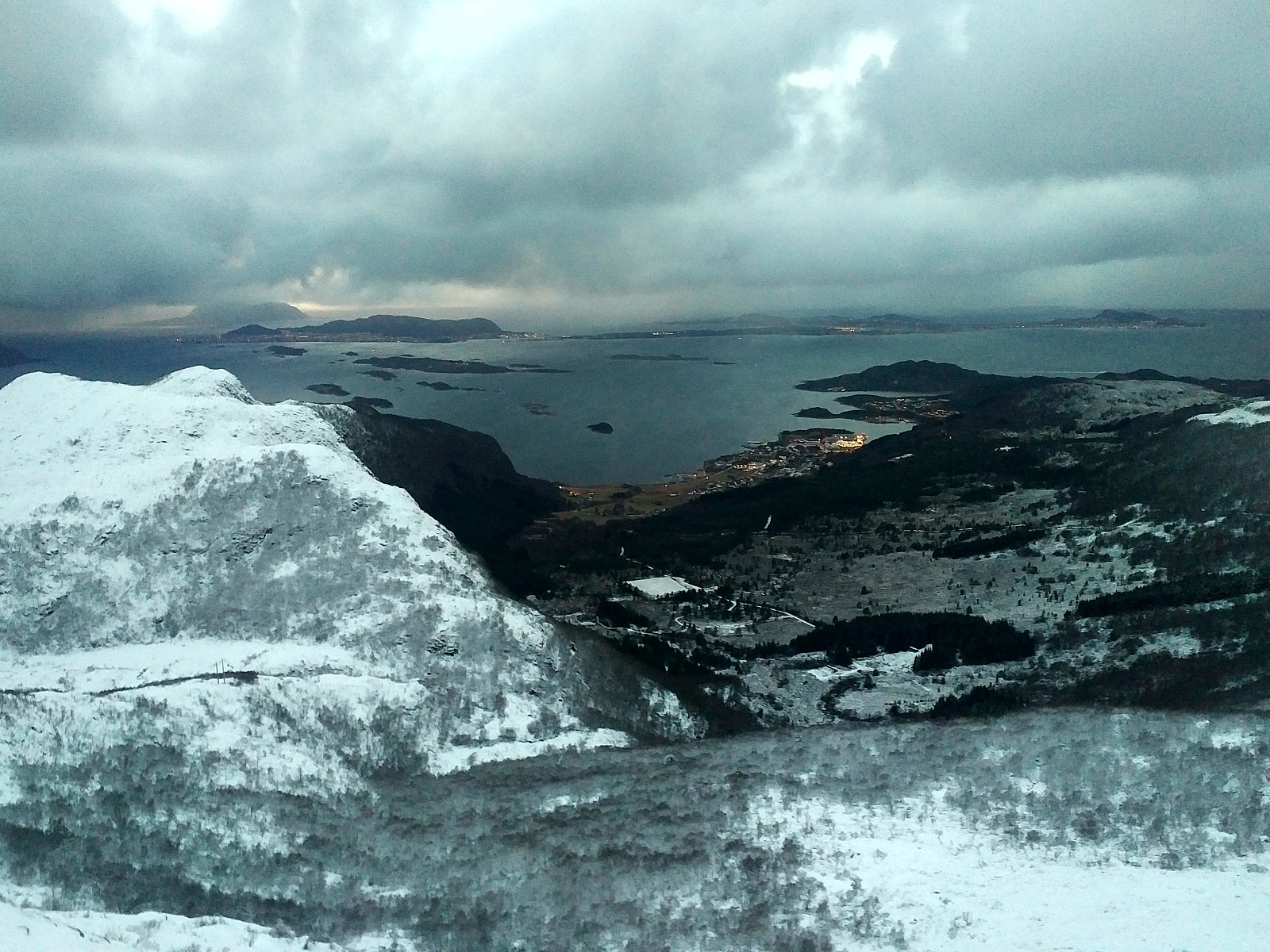
![View from the Southwest edge of Mount Storhornet towards the fjord called Grytafjorden. The mountain in the right part of the picture is Mount Litlehornet [i.e. "The Little Horn"].](https://images1.peakbook.org/images/14939/Solan_20200125_5e2ca1d43b5e4.jpg?p=xtralarge)
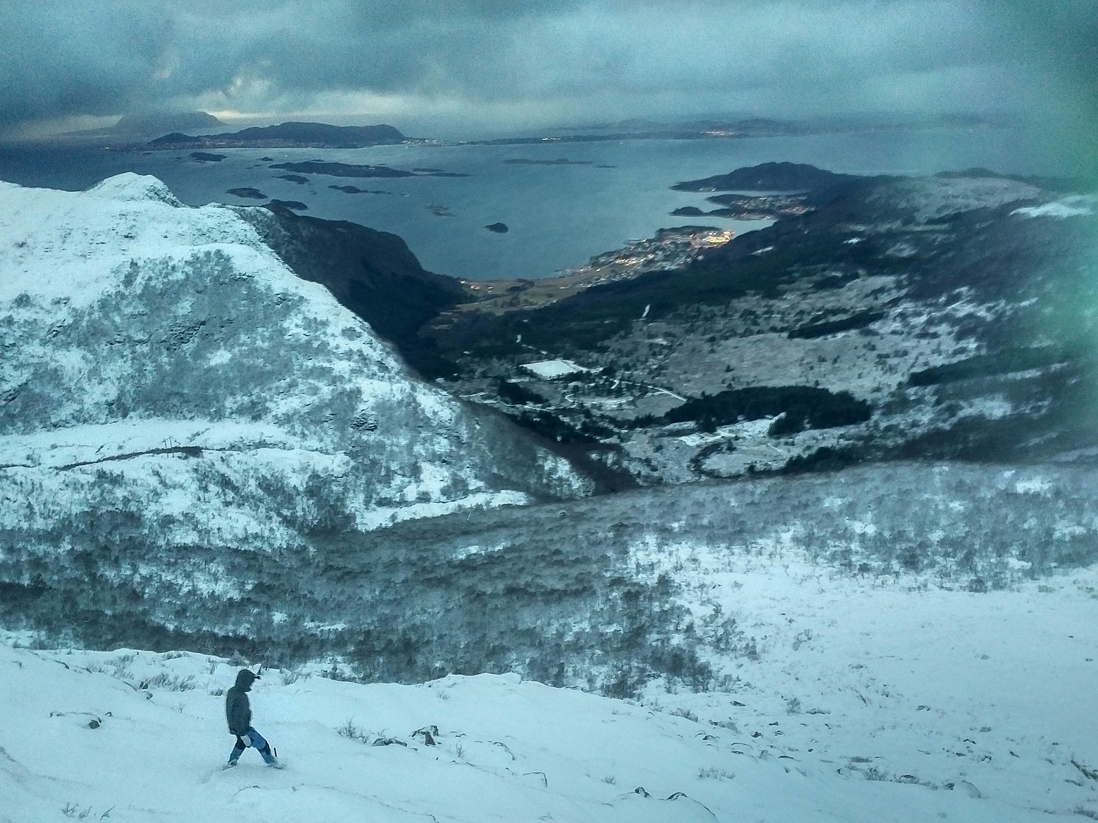
We soon reached the summit of Mount Storhornet. It was quite windy up there, however, and snow from the mountain side was blowing directly towards us, so I didn't capture many pictures, in order not to ruin my cellphone, which is a bit sensitive to wet weather. As the summit of Storhornet only has a vertical separation of about 14 meters, and is just a green Peakbook Element (PBE), we decided to continue onto Mount Skålbotsheia, which is a red PBE (i.e. a mountain with a vertical separation > 100 meters). From Skålbotsheia, we continued north, and descended into a valley were we had to cross a little creek, and then we climbed onto the mountain foot of Mount Tverrbotshornet, then down into the valley that separates Tverrbotshornet from Mount Gamlemsveten (see map / GPS tracking), followed this valley in a westward direction till we came to the road descending from Mount Gamlemsveten, and followed this road back down to our car.

Benutzerkommentare