Hiking to Entoto Mountain with my Daughter Vår (18.11.2019)


Characteristic Hillwalk
Duration 2h 55min
Distance 16.7km
Vertical meters 4,768m
GPS
Ascents Entoto (3,200m) 18.11.2019
#1: Panorama view from Entoto; this image was captured just a short distance from the summit, about where the Entoto Observatory is located. The mountain in the middle of the photo (beyond the city of Addis) is the Gara Furi Terara. The mountain to the right is the Wochecha mountain.

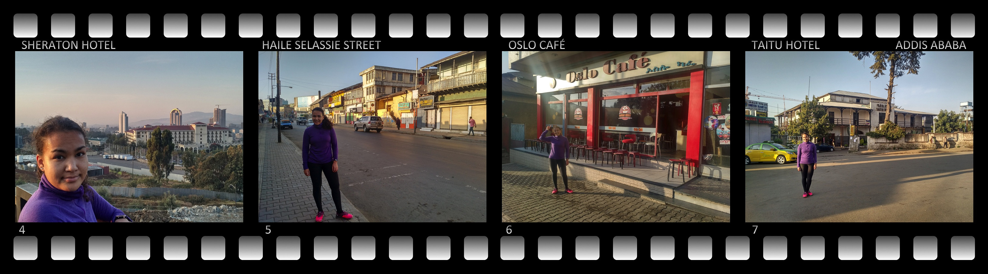
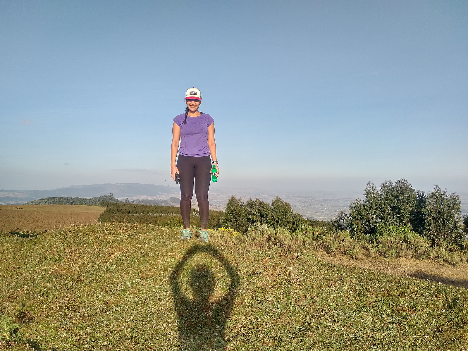
I had been in Ethiopia and Addis Ababa for work slightly more than two weeks at this time, though I had also used some time on mountain trekking while there, as well as some time on running/jogging in the city. I had planned to visit the Simien Mountains along with my youngest Daughter vaarsolholm (Vår Solholm) after finishing our work at the Black Lion hospital, and in order to get a bit acclimatized to the altitude, I had even arrived in Addis a few days ahead of the rest of our team. And so, while in Addis I had climbed both the Mount Furi and Mount Wochecha, and I had also 5 times gone running in the streets of Addis. I had actually planned to go running or every second day or so, but then I got a terrible cold that forced me to be a bit careful. Nevertheless, I had been in Addis Ababa (2400 m.a.m.s.l.) long enough that I no longer felt the effect of the altitude on my breathing as strongly as I had done the first few days. My daughter, however, had just arrived in Addis, and we somehow needed to get her acclimatized to the altitude as well. My daughter arrived in Addis on November 16th, and in order to get her exposed to altitude training as soon as possible, we had already twice gone running together in Addis (Images #2 an #3). The routes that we had run in the city, however, doesn't offer more than 2500 meters altitude, and so in order to get further altitude acclimatization, we were going to need to climb one of the nearby mountains. Fortunately, there is a mountain that's close enough to Addis that you may do a trek up there in just a few hours during the afternoon (I had to work at the hospital until about 1 o'clock in the afternoon); and so we decided to attempt to do a trek up to the summit of Mount Entoto.

#2: Out running in Addis Ababa in early morning for altitude acclimatization; our GPS track of our run on November 17th. The route reaches an elevation of 2500 m.a.m.s.l. at its highest point.
#3: Again out running in the streets of Addis. This route doesn't reach quite the altitude that the other one does, but it offers a lot of things to see (Images # 4 - 7). Our GPS track from early morning on November 18th.
#4: Having a short break to have a look at the view of the city (and for the photo). The large building beneath the viewpoint is the Sheraton Hotel, and in the distance behind it the Gara Furi Terara mountain may be seen. #5: A short stop in Haile Selassie Street. This street lies in the Piazza area of Addis Ababa, and from a historical point of view it's worth noticing the old Italian building style still predominant in this part of the city. #6: The Oslo Café, a funny element in the Piazza district. #7: The Taitu Hotel, the oldest hotel in Addis Ababa.

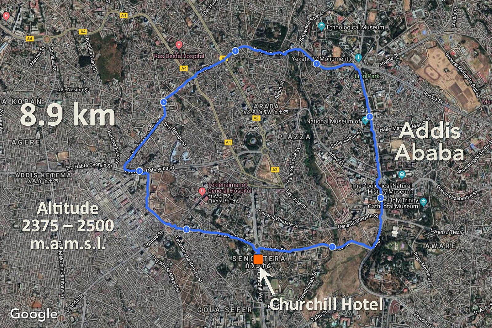
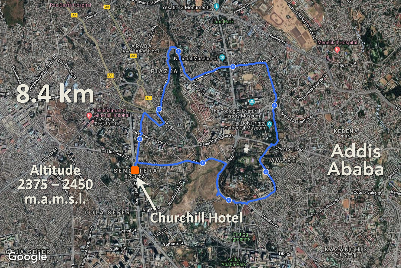
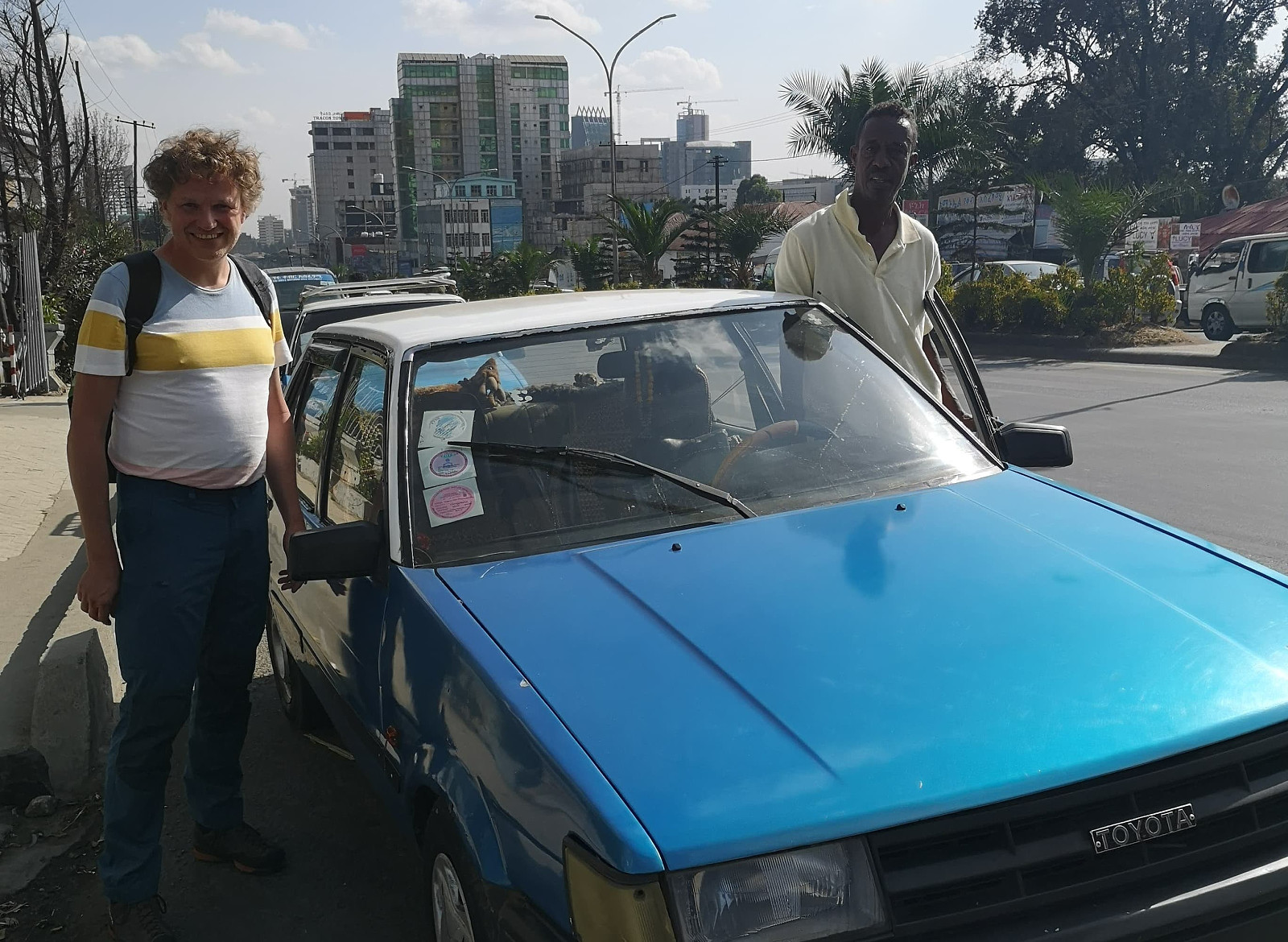
From the map on my Peakbook app I knew that it would be 17 kilometers or so from the Churchill Hotel in Addis up to the Entoto summit, which would obviously by too long a trek for this afternoon, as we wanted to be back at our hotel before nightfall. I had, on Friday November 1st, gone jogging about halfway up to the Entoto summit (Image #8), however, so I knew the way towards the mountain top; and I also knew a spot from where we could do the trek, if we had a taxi driver take us there. So I made a phone call to the taxi driver Fikedu, with whom I had become quite well acquainted during the last two weeks; and he agreed to take us up there, and even to wait for us at the drop off point while we were doing the trek. So we met Fikedu outside of our hotel just a few minutes later (Image #9), and drove off.

#8: GPS track from my run towards the top of Entoto on November 1st, i.e. 2 1/2 weeks prior to the trek with my daughter. The dotted line is the remaining road up to the summit. I turned back about halfway on this occasion, as I wanted to get back to the hotel before it turned dark. The run, however, enabled me to get aquatinted with the road up to Entoto.
#9: In Churchill Avenue with the taxi driver Fikedu and his Toyota Corolla. His taxi is painted in blue and white; which is typical for traditional cabs in Ethiopia. Fikedu is a little bit expensive compared to Uber taxis and the similar, but he is extremely reliable. If he promises to wait for you, he'll wait for you; and if he promises to pick you up, he does exactly that.

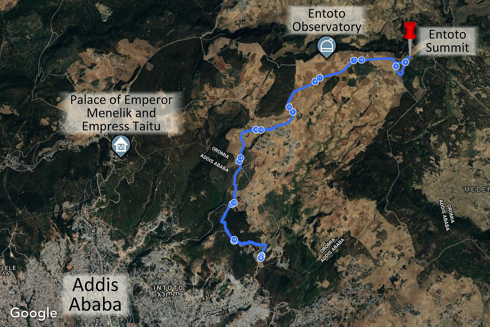
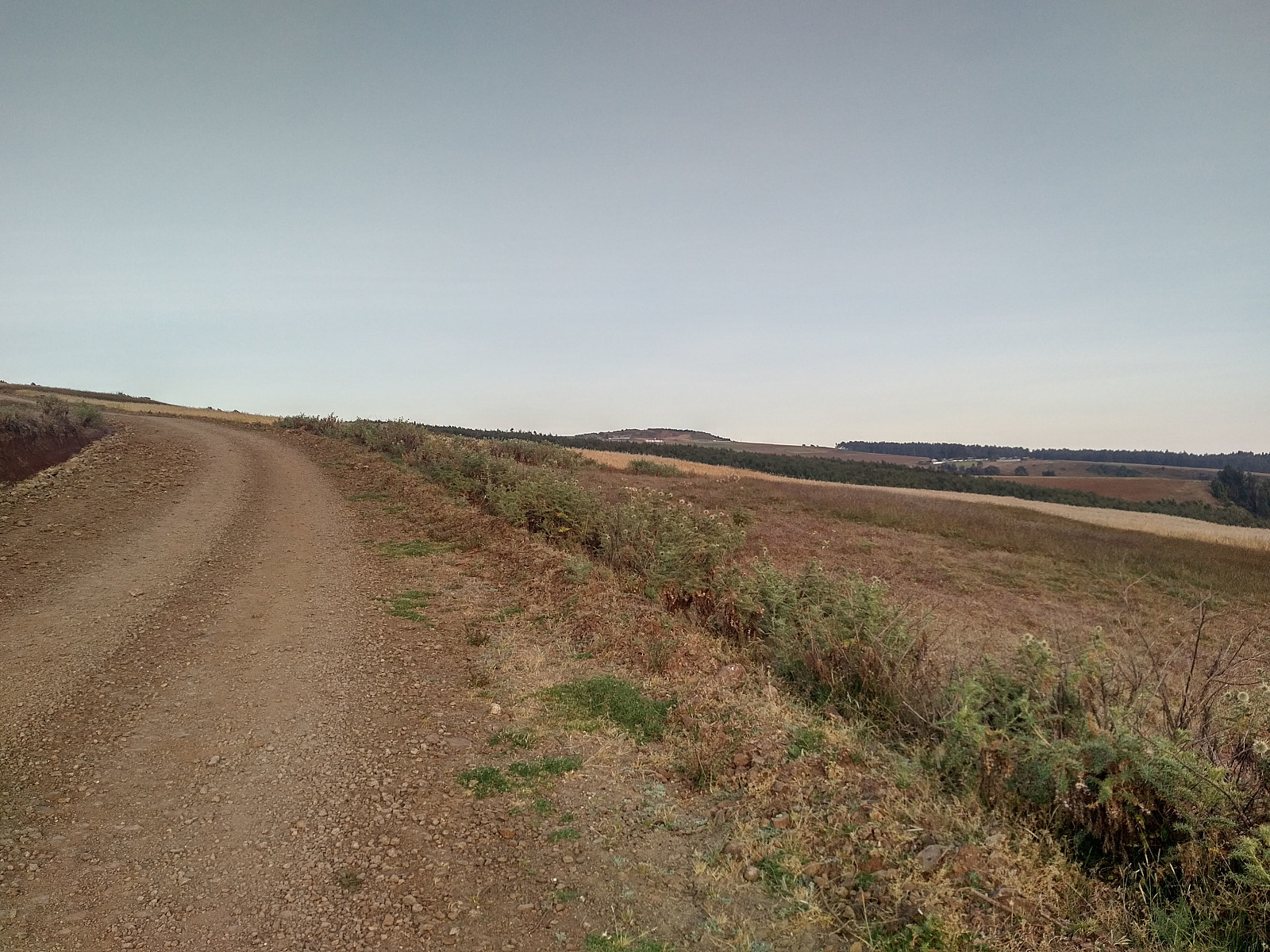
Fikedu dropped us of just about where I had stopped and turned around while I was out running two and a half weeks earlier. Up to about that point the road is paved, whereas from there up to the summit it's just a dirt road; not in any way suited for small cars like Fikedu´s taxi, but quite well suited for mountain trekking (Image #11). We tried to have a good pace from the very start, as we had figured that was our only option if we wanted to both reach the summit and get back to the taxi before it turned dark. This road up to Entoto is completely different from the one the tourist guides will take you when they want to show you the old palace of Emperor Menelik 2nd and his Empress Taitu, as the Entoto is a large mountain, and the summit of the mountain is located about 9 km east of the old palace measured along the roads, and 6.3 km when measured as the crow flies (Image #10). Moreover, the elevation of the summit is 3200 m.a.m.s.l.; whereas the old palace is located just about 3000 m.a.m.s.l.

#10: Google Maps satellite image showing the location of the Entoto summit relative to the Entoto Observatory and to the old palace of Emperor Menelik 2nd. The image demonstrates that if you've just been to the old palace, you've not even been close to the summit of the mountain; the summit is located far more east. The blue line is the GPS tracking of our trek.

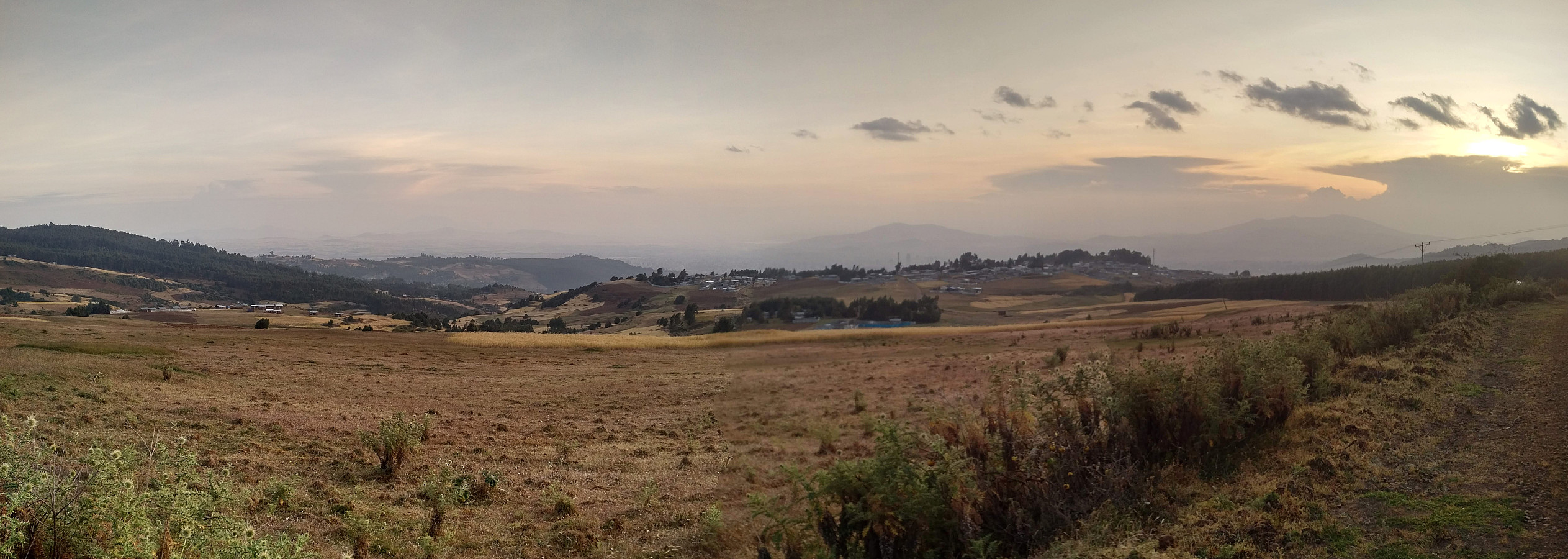
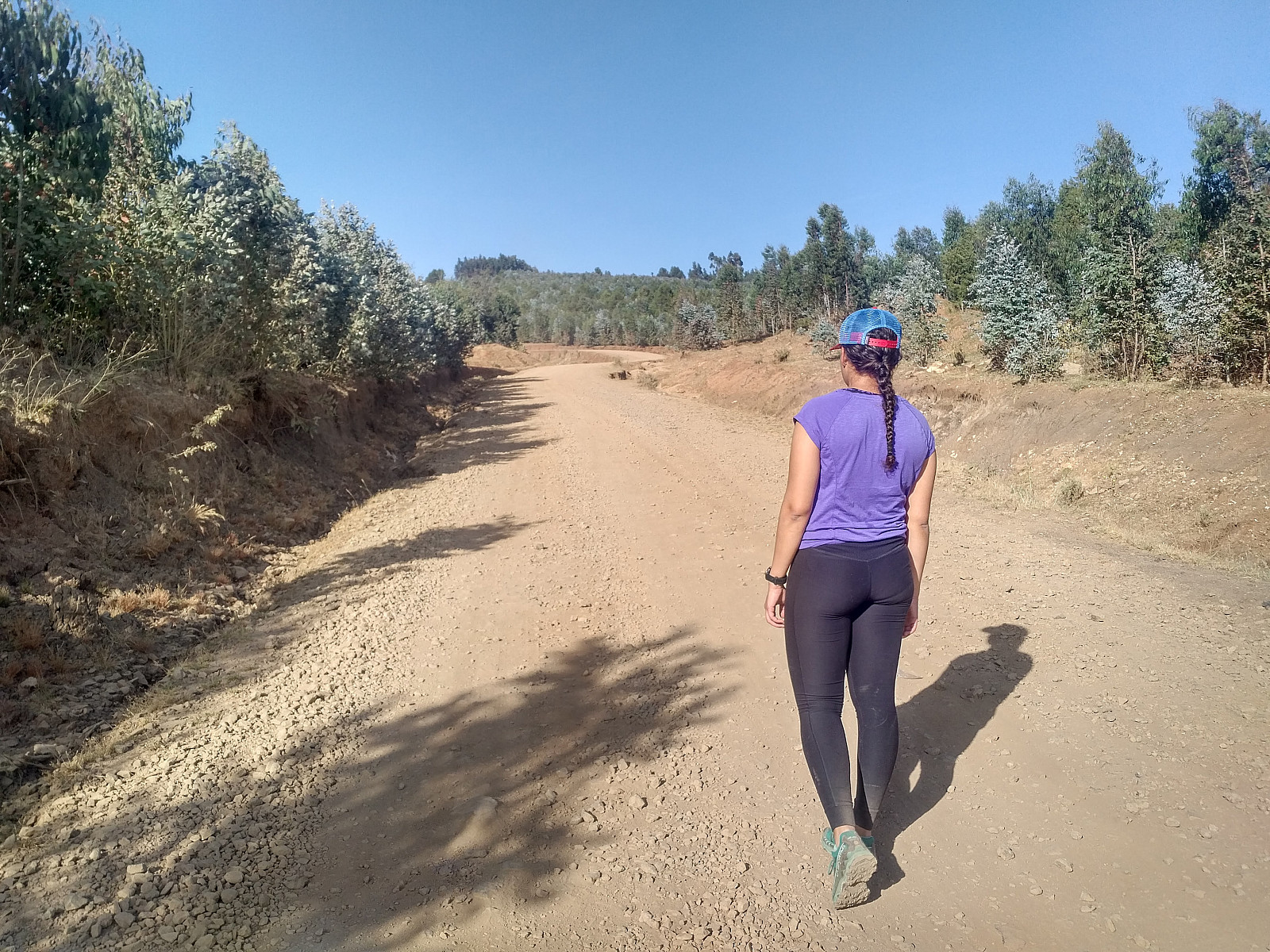
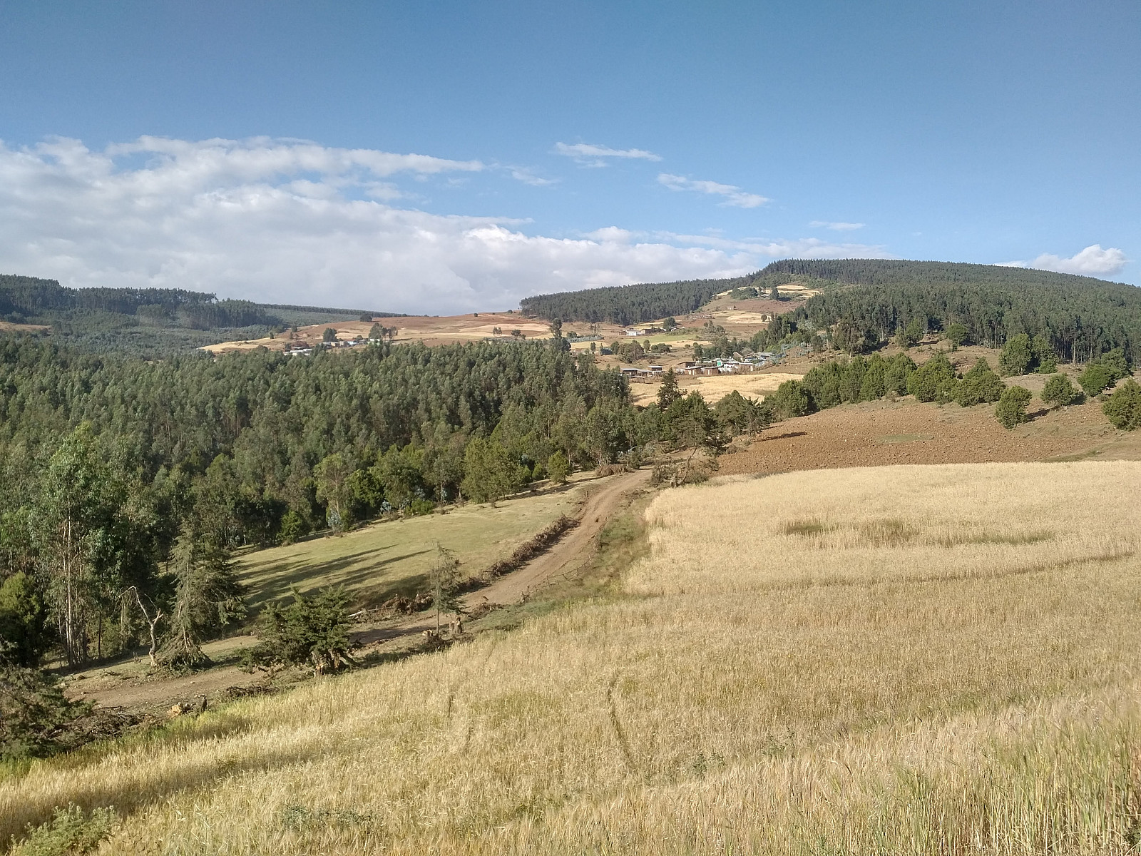
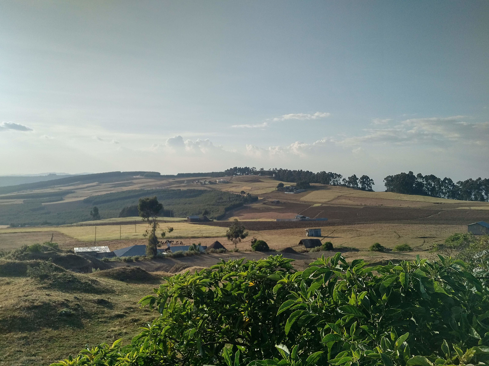
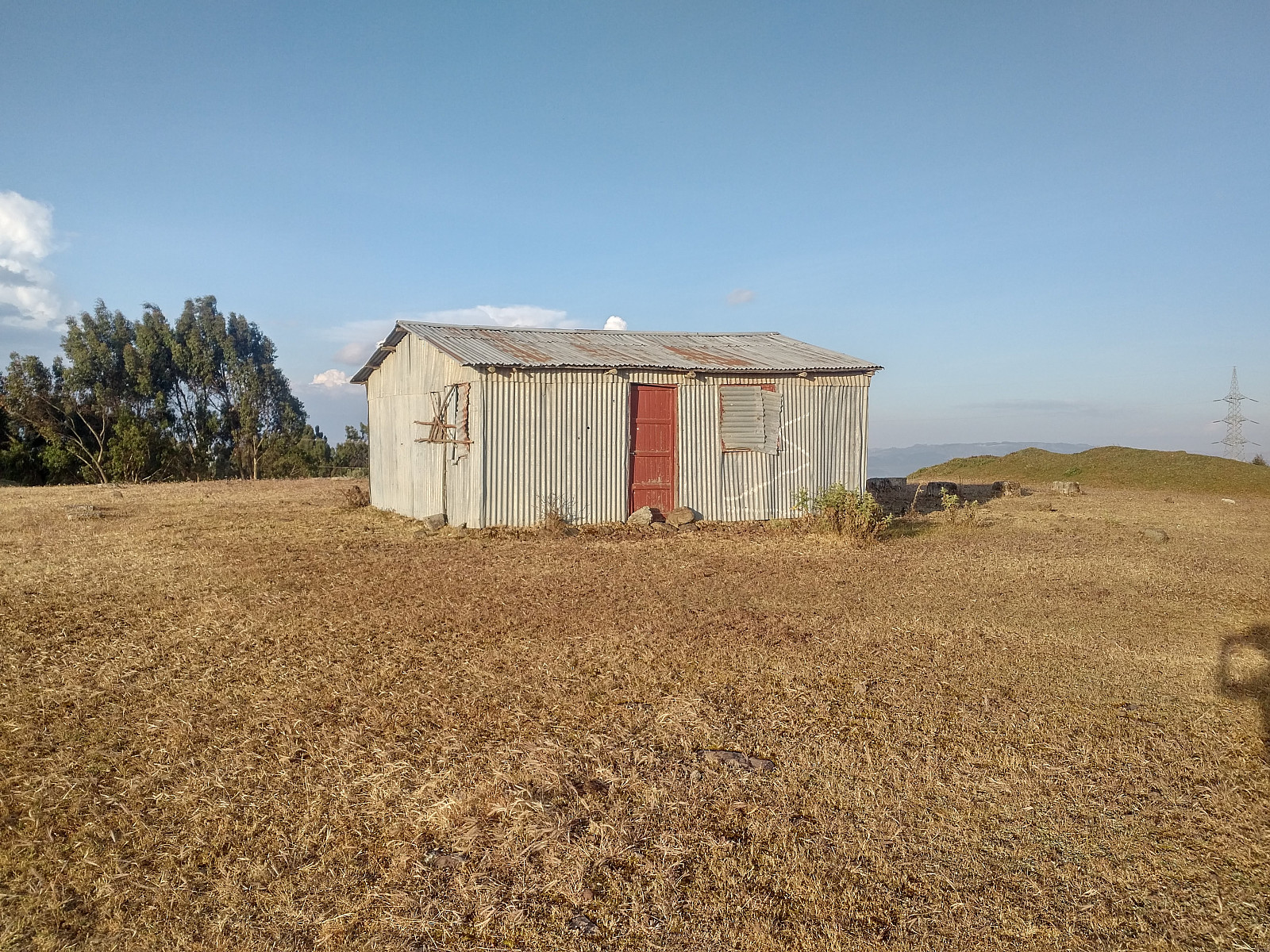
The road that we were following, first winded its way through a forest, and then took us into a more open landscape. The advantage of the road being just a dirt road, was that the traffic on on it wasn't that heavy. A few vans past by us though, some in our direction, and some in the opposite direction; and every now and then even a bus packed with people came our way. Small houses, in which people were living, were scattered along the route; and after 4 km we came to a village where even more people were living. The people seemed nice, and greeted us back when we greeted them. The landscape was that of small scattered forests, with a rural landscape with fields and meadows interspersed in between (Image #12).

#11: The dusty dirt road that takes you towards the summit of the Entoto Mountain.
#12: Agricultural landscape alternating with small forests on Entoto mountain.

Right after the village (the name of which I have no idea), we passed by a school, where a lot of children in their school uniforms were just coming out after finishing school for the day. About 20 or 30 of them joined us on our way up the mountain. They greeted us, and as they did many of the girls started giggling. We wondered for a minute or two whether they were going with us all the way up to the Entoto summit, but then, after just half a kilometer, they all left us for a track that led into the woods; and so we figured they weren't following us out of curiosity, they were just incidentally following the same road as us as path of their way as they were heading home from school.

#13: Approaching the top of the mountain. The summit is located just behind the hill-like knoll that is seen in the middle of the picture.
#14: The Entoto Observatory and Research Center. At this point it's less than 2 km left to the Entoto summit.

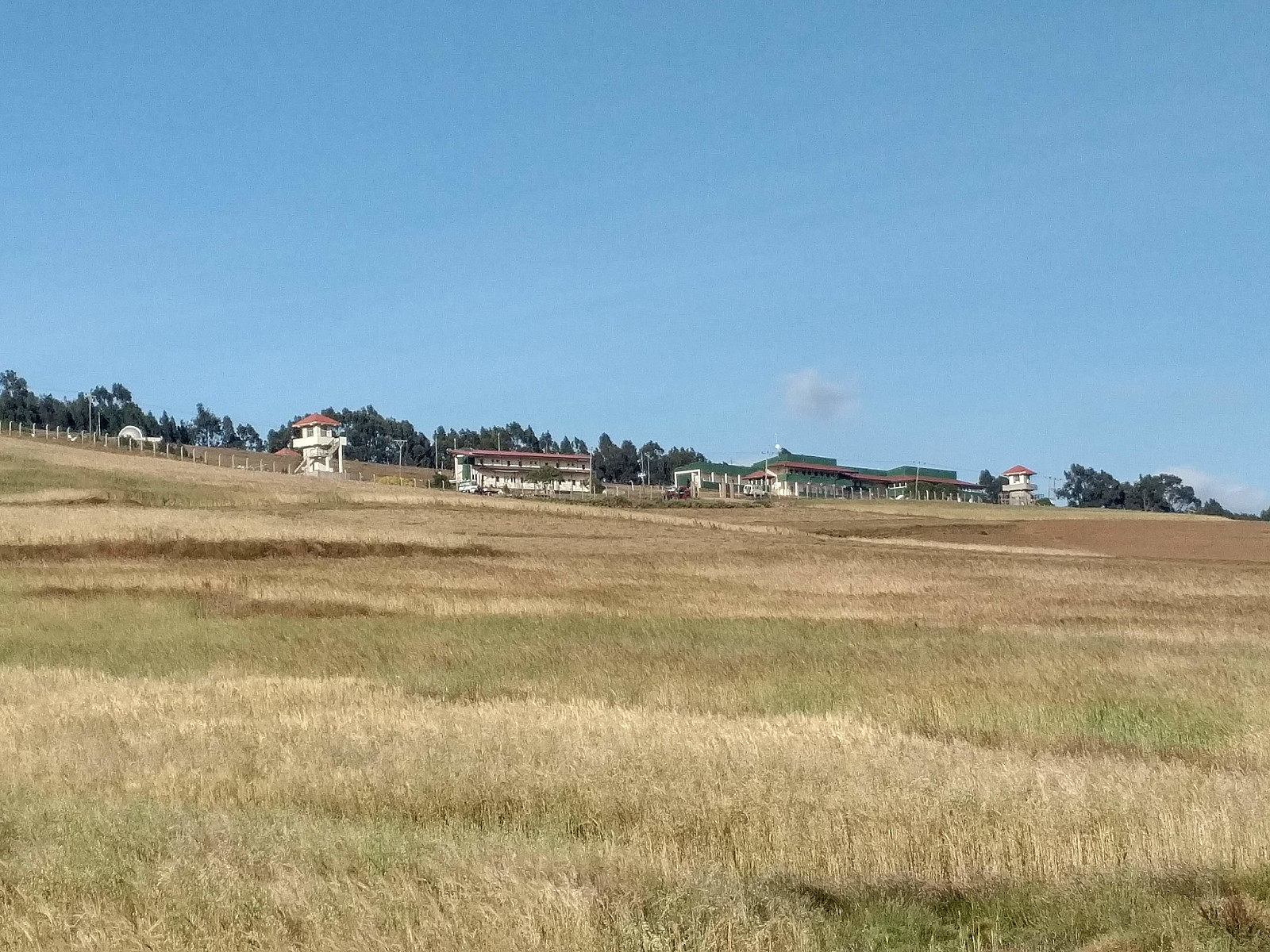
After 6 km from our start point, we passed by the Entoto Observatory and Research Center. When you just pass by it like we did on this day, it doesn't look that extraordinary; but the little building with a dome-shaped roof in the upper left corner of image #14 actually houses a space telescope worth millions. From the observatory the road actually goes a little bit down, before it climbs again a little up to the Entoto summit. The summit of this mountain is in itself not that exciting, but you have a nice view in all directions.

#15: View from Entoto. I captured this image standing only about 500 meters from the summit. The mountains in the background are the Gara Furi Terara (in the middle) and the Wochecha (to the right).
#16: View towards the west, also captured just a few hundred yards from the Entoto summit. The road by which we ascended the mountain, as well as the Entoto Observatory and Research Center may be spotted on the hilltop in the middle of the picture.

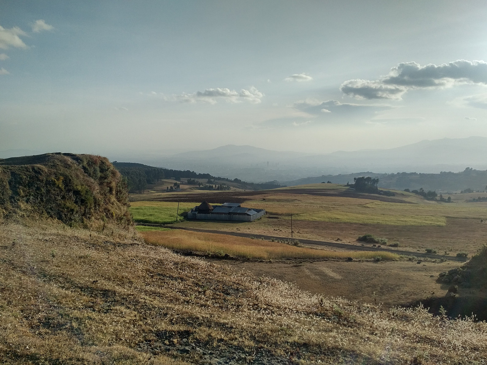
After we had captured some images at the top of the mountain, we hurried back down towards Fikedu and his taxi. The most important thing, I thought, was to get past the village before it turned dark; as it's not uncommon that the bad people of a village tend to be outdoors after nightfall, whereas all the nice guys tend to be indoors. Anyway, we were pushing on as much as we could on our descent, and it actually didn't get dark until we came down to the forest thorough which the road winds its way for the first two kilometers from our start point. I had a torch that I lit, and my daughter had a headlight that she put on; and we could continue down the remaining 15 or 20 minutes to the taxi without any problems or incidents, even though it had become quite dark before we were back by the taxi. Fikedu, however, was extremely happy to see us, as we came down to the taxi. Some locals that he had been talking to, had told him that 5 hyenas had recently been seen in these forests, and that people had actually been killed and eaten by these animals. He had tried to phone me to tell us, but he couldn't reach us, as I had been having my telephone in flight mode in order to save power for the Endomondo GPS tracking.

#17: A small building of some sort (a storage house?) at the summit of Entoto Mountain.
#18: My daughter at what seemed to be the highest point in the vicinity of the building on the previous photo. The sun was quite low in the sky at this point of time, hence my shadow has also been captured. It's the only image I have of one of us at the summit, however, so I'm uploading the image, even though I'm aware that in photographic circles it is considered a "sin unto death" to have your own shadow in a photo.

User comments

Comment title:
Characters left: 1000
Comment text:
You need to be logged in to write comments.