Archivo - fecha
Archivo - actividad
-
Escalada (23)
- Escalada alpino (9)
- Escalada deportiva (11)
- Vía ferrata (2)
-
Excurción de esquí (62)
- Esquí de fondo (1)
- Esquí de montaña (3)
- Randonnée/Telemark (58)
- Excursión de invierno, otro tipo (3)
-
Senderismo (137)
- Running (62)
- Senderismo (14)
- Senderismo de montaña (57)
- Viaje por carretera (1)


Listas obtenidas
-
Norges 1000 største fjell målt i primærfaktor
(45/1000)
 4%
4%

Excurciones favoritos
Picos favoritos


Fullklaff på Middagstinden skitopp
- Fecha:
- 24.05.2021
- Tipo de excursión:
- Randonnée/Telemark
- Duración:
- 5:09h
- Distancia:
- 13.9km
Snutur
- Fecha:
- 28.04.2021
- Tipo de excursión:
- Randonnée/Telemark
- Duración:
- 1:20h
- Distancia:
- 4.2km
Steinskartinden
- Fecha:
- 12.04.2021
- Tipo de excursión:
- Randonnée/Telemark
- Duración:
- 1:14h
- Distancia:
- 5.3km
Stortinden
- Fecha:
- 11.03.2021
- Tipo de excursión:
- Randonnée/Telemark
- Duración:
- 3:06h
- Distancia:
- 10.0km
Hollendaren
- Fecha:
- 13.06.2020
- Tipo de excursión:
- Randonnée/Telemark
- Duración:
- 5:00h
- Distancia:
- 9.5km
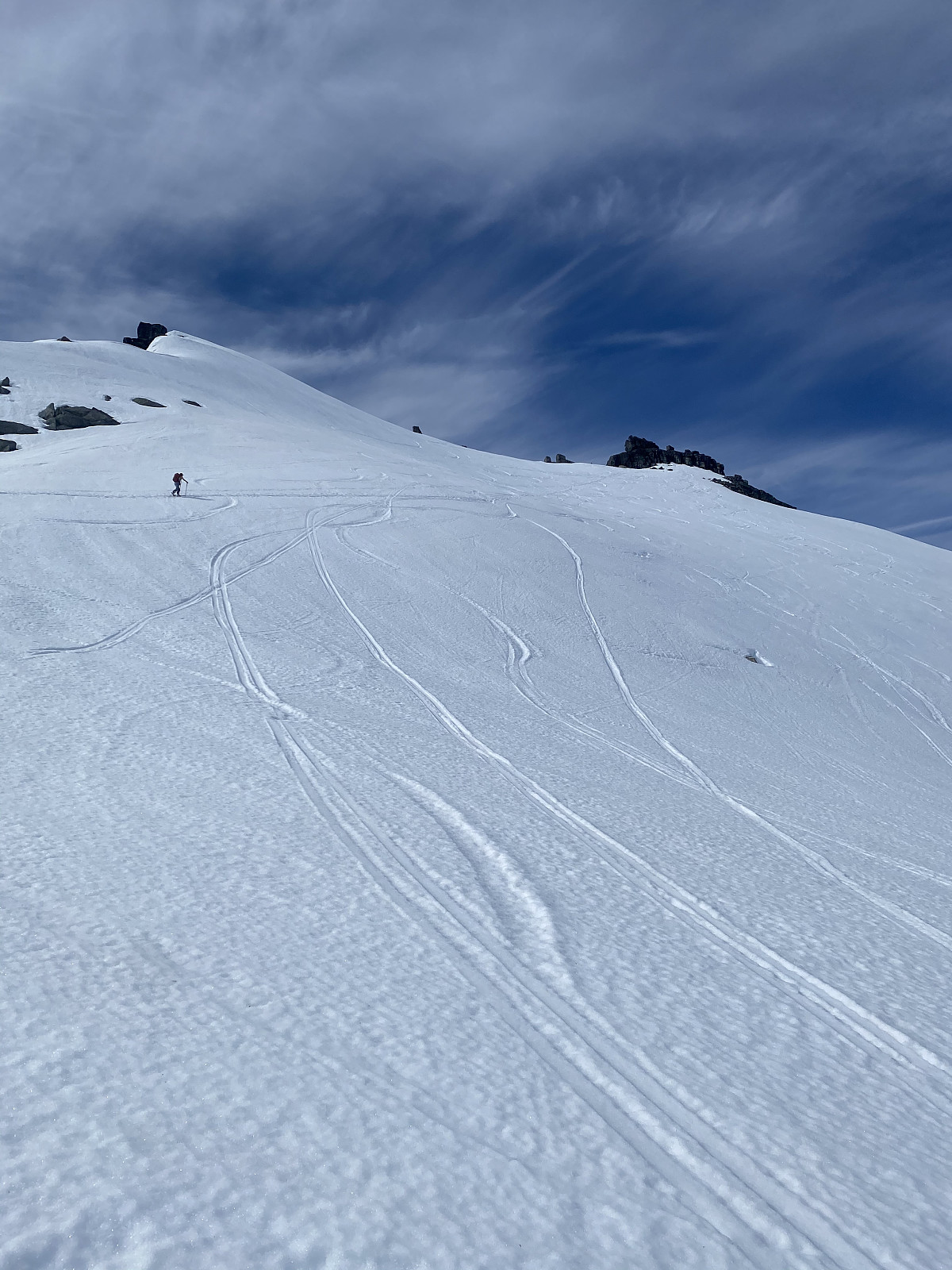 Endelig, siste 1000m topp på Kvaløya i boksen! :)
The normal route looked like a real pain, with lots of on again - off again with skis, so Martine decided the most effective way up would be the best. After walking around 20 mins with our skis on our back, we reached the start of the snow felt and skinned up to the gully. Here I realized my ice axe wasn't attached to my backpack, which added a few extra meters of elevation. Won´t make that mistake again! From here skis went on the packs and we booted up the gully. From the top of the gully we headed towards the top. Incredible 360 degree views!
Nice slush on the way down, with a bit of luggeføre, and nice slush halfway down the gully, but it became icier as it got narrower. From here we down climbed the narrowest section of the gully, before >>>
Endelig, siste 1000m topp på Kvaløya i boksen! :)
The normal route looked like a real pain, with lots of on again - off again with skis, so Martine decided the most effective way up would be the best. After walking around 20 mins with our skis on our back, we reached the start of the snow felt and skinned up to the gully. Here I realized my ice axe wasn't attached to my backpack, which added a few extra meters of elevation. Won´t make that mistake again! From here skis went on the packs and we booted up the gully. From the top of the gully we headed towards the top. Incredible 360 degree views!
Nice slush on the way down, with a bit of luggeføre, and nice slush halfway down the gully, but it became icier as it got narrower. From here we down climbed the narrowest section of the gully, before >>>
Storstolpan
- Fecha:
- 13.06.2020
- Tipo de excursión:
- Randonnée/Telemark
- Distancia:
- 8.9km
 Our second ski trip for the day :) We carried our skis only 10 meters from the car, and from here up it was smooth sailing. Headed around the lake to the right before up the steeper section of the face, and then heading towards the top. A really lovely evening that got a bit cloudier while we were on the summit. Great conditions the whole evening and perfect slush the whole way down.
Tusen takk for en nydelig tur Martine!
Our second ski trip for the day :) We carried our skis only 10 meters from the car, and from here up it was smooth sailing. Headed around the lake to the right before up the steeper section of the face, and then heading towards the top. A really lovely evening that got a bit cloudier while we were on the summit. Great conditions the whole evening and perfect slush the whole way down.
Tusen takk for en nydelig tur Martine!
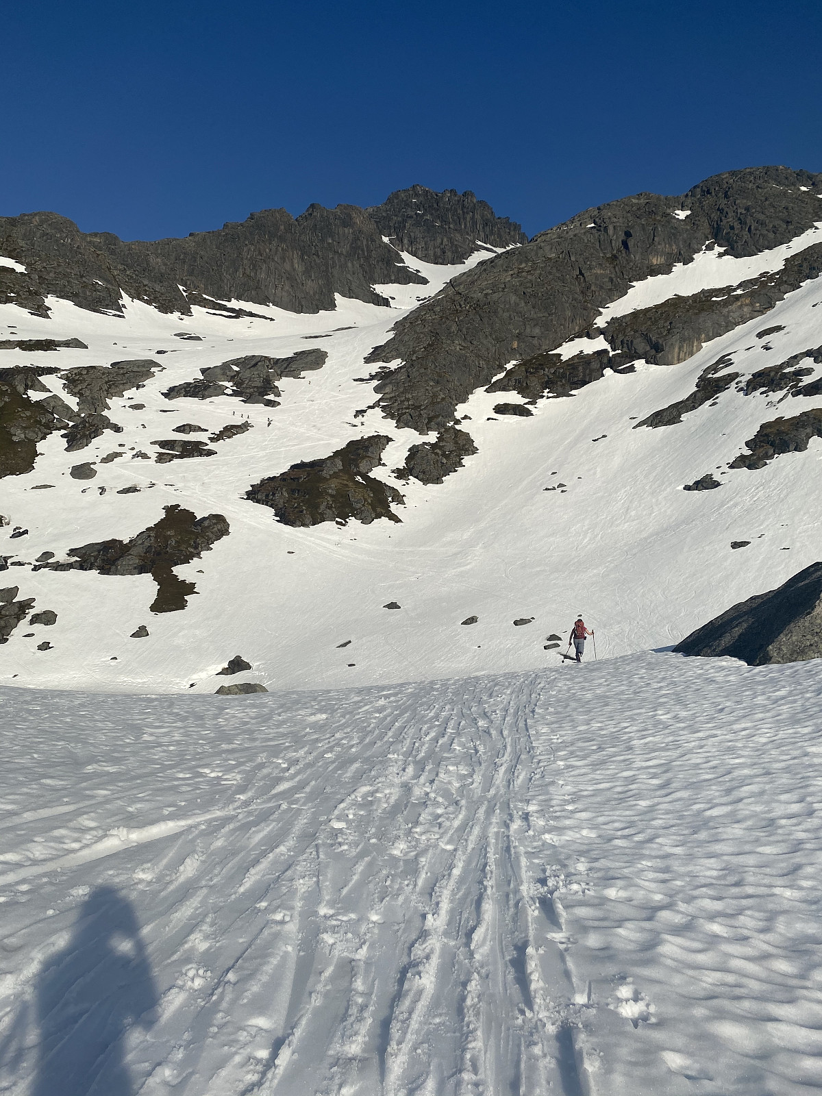
Stormoa
- Fecha:
- 06.06.2020
- Tipo de excursión:
- Randonnée/Telemark
- Duración:
- 3:29h
- Distancia:
- 5.3km
Stormoa had been on the list for a long time, and with summer well underway in Senja, I thought starting higher up was a good idea. We parked just after the tunnel at the side of the lake and picked a natural path up towards the saddle before the ridge. Hot today, but lots of wind, made for chilly conditions heading up the bowl. There was a waterfall forming in the middle of the valley, so we stayed well to the left of this until crossing, and then well to the right. Lots of snow had melted off the ridge, so the ridge was a mixed ascent. Around 50m from the top we had to turn around, as the snow conditions got too difficult. The snow had started melting from the ridge and was rotten around the stones, which meant we fell through with every step. We tried to continue the ascent more on the north >>>

