
Stjerntinden in the box! (15.06.2019)


| Start point | Ytre Skjelfjord (2m) |
|---|---|
| Endpoint | Stjerntinden (938m) |
| Characteristic | Alpine climbing |
| Duration | 10h 30min |
| Distance | 17.8km |
| Vertical meters | 1,050m |
| GPS |
|
| Ascents | Stjerntinden (938m) | 15.06.2019 |
|---|
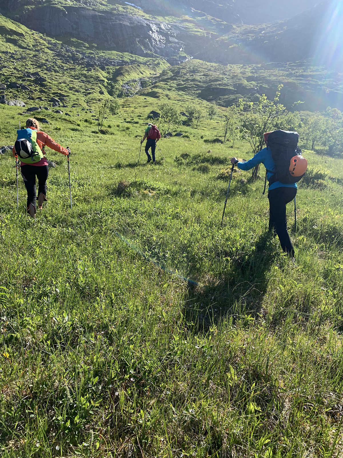
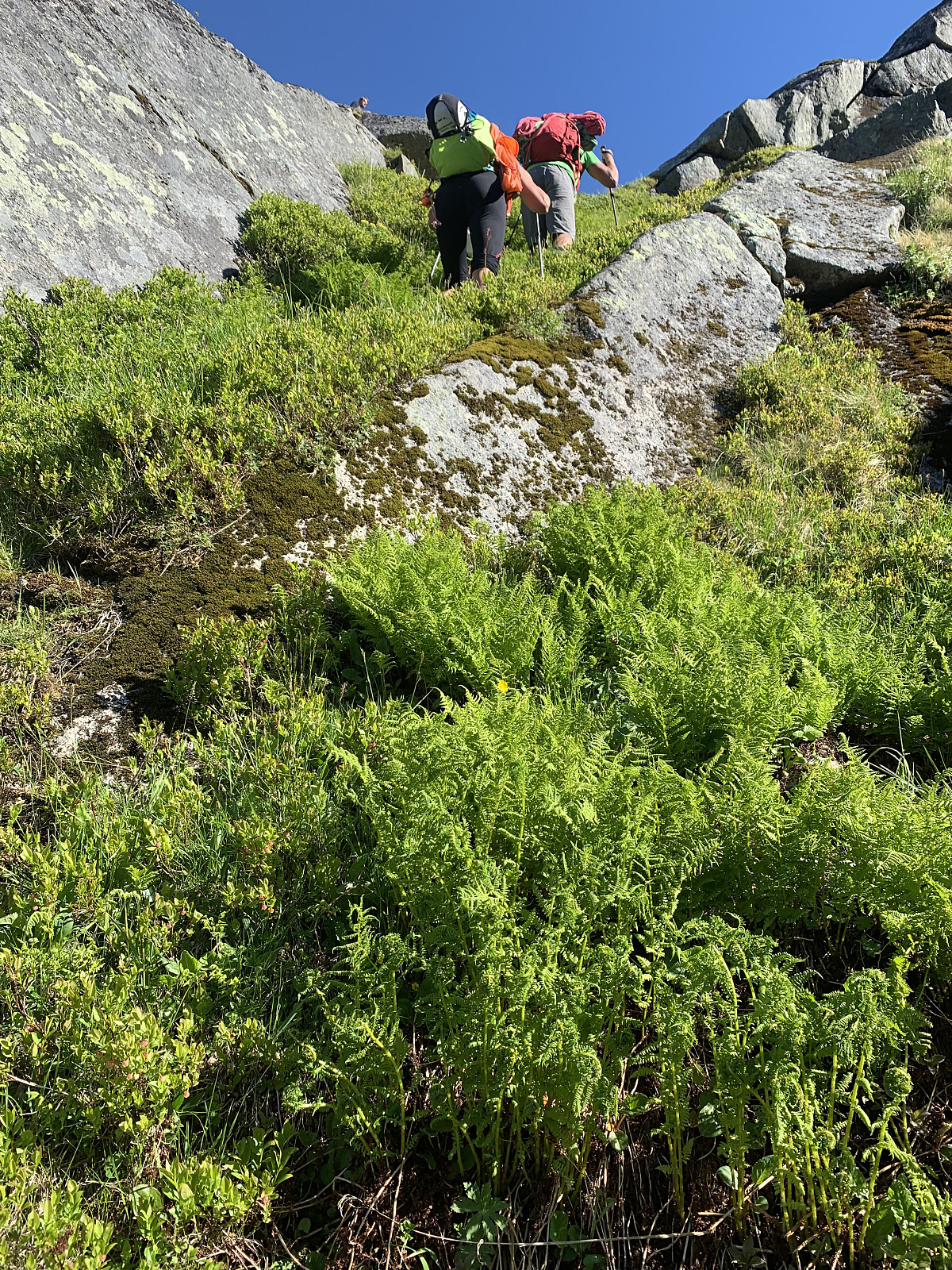
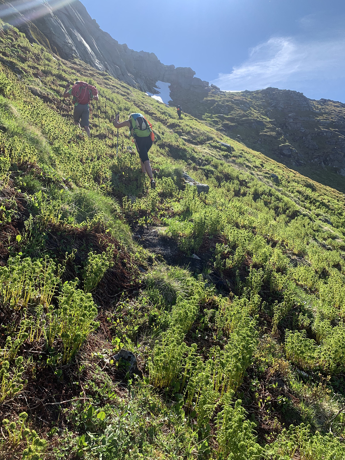
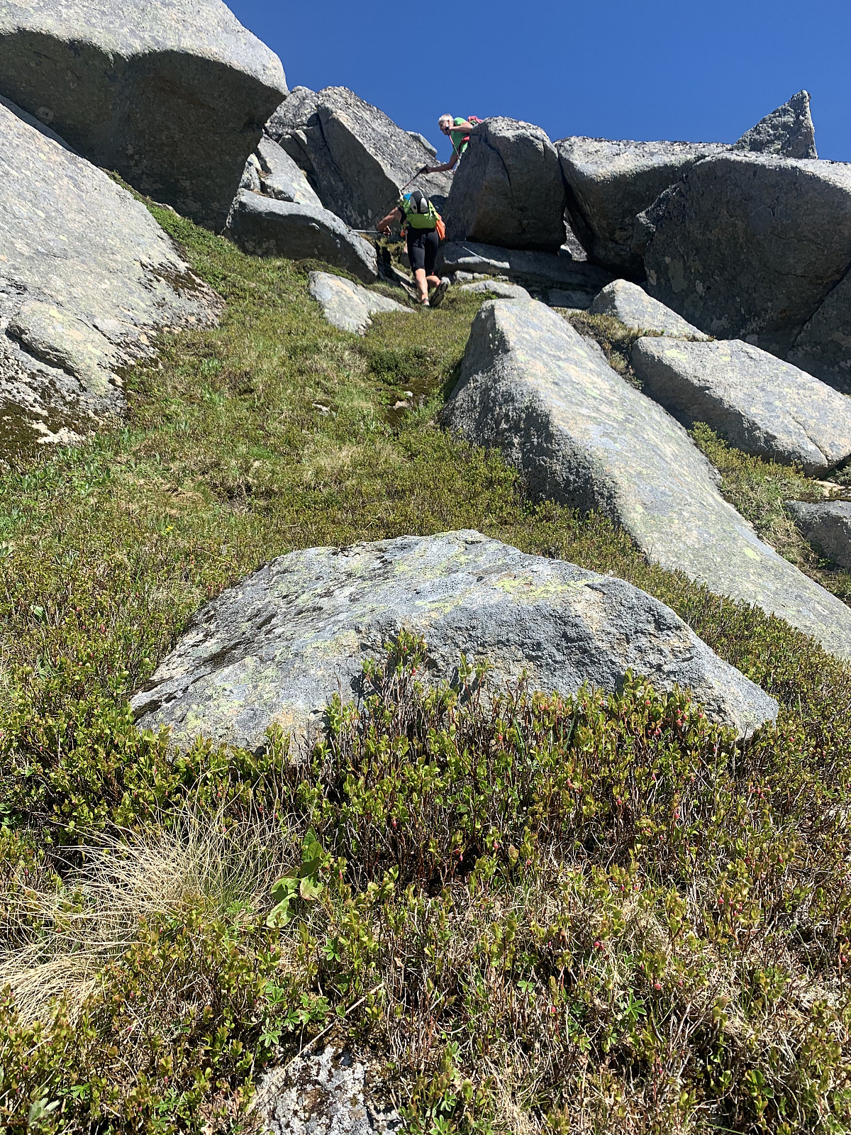
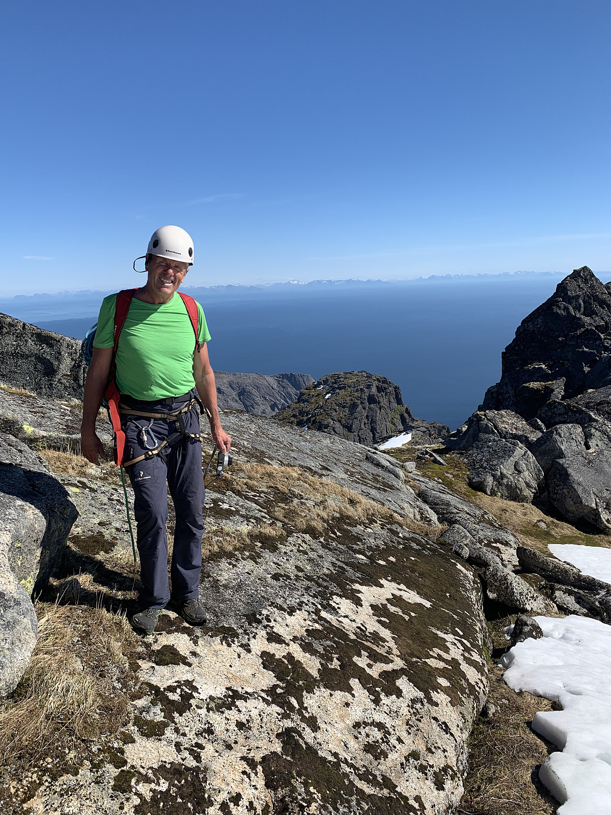
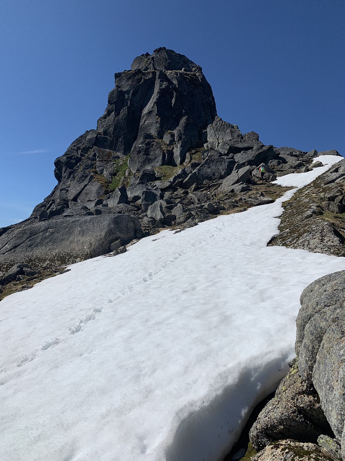
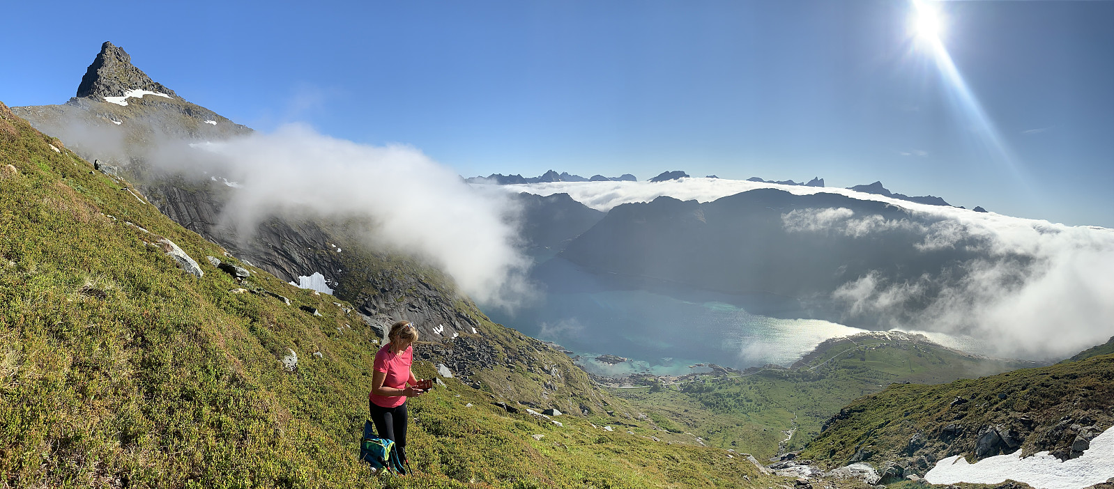
The last mountain to finish our clean sweep of all the highest points in each kommune in Lofoten, happened also to be Norways most difficult kommunetopp. We met Geir Rune at Ytre Skjelfjord and divided up the gear. Around 9.30am we started our trip hiking through knee high grass and bushes, before we started gaining elevation in challenging terrain. The trail was weak and came and went. We walked up through some steep gullies covered in really thick vegetation, and once we came up on the pass around 600moh, we began a sideways traverse over a steep snow & grass felt, which was wet and slippery.
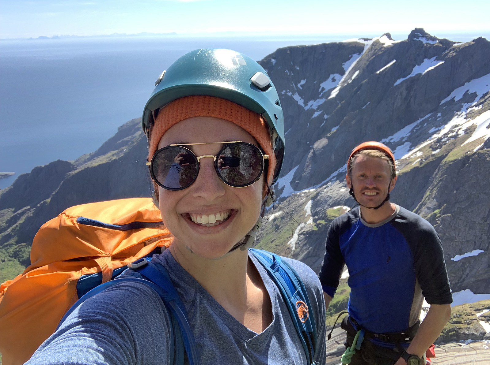
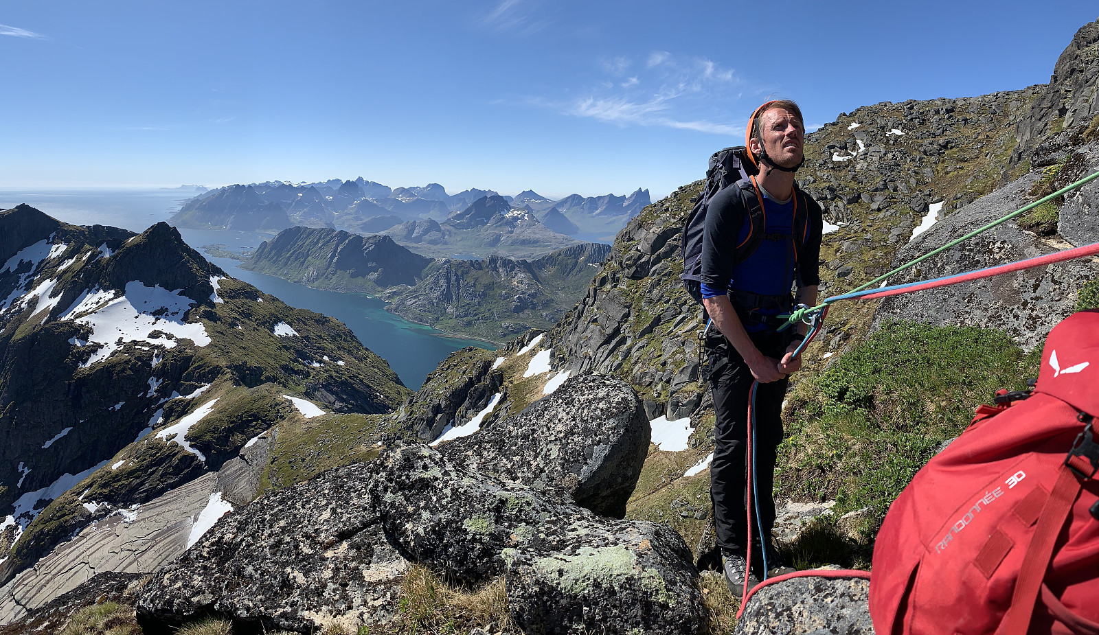
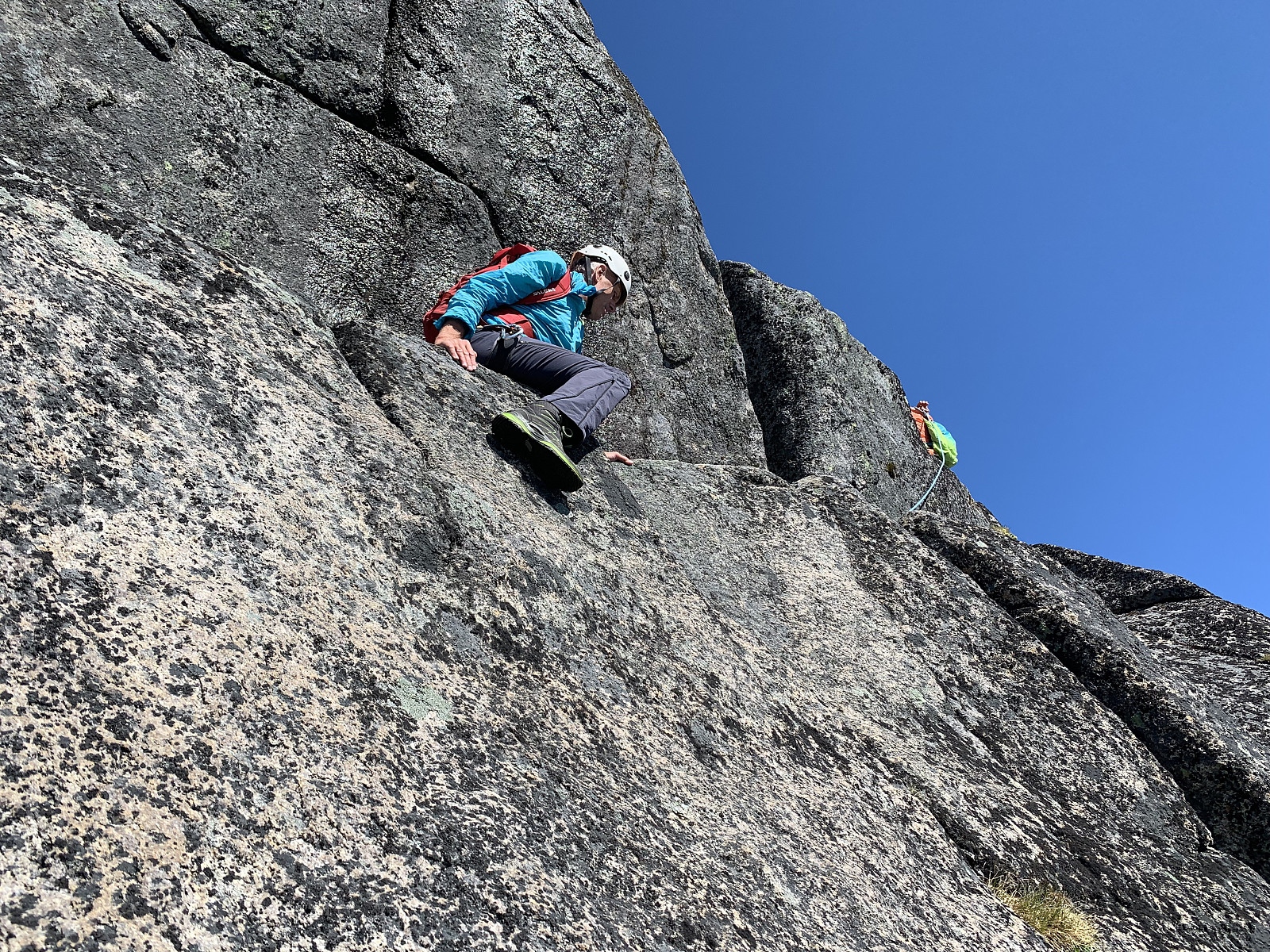
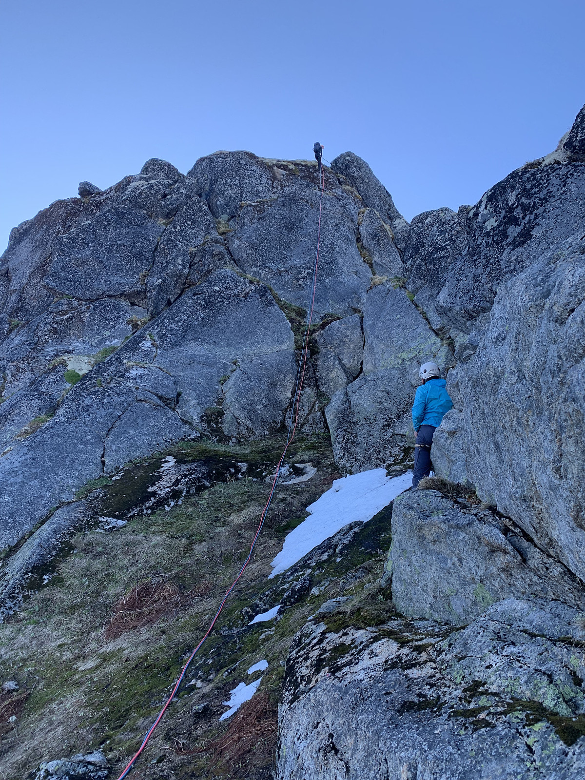
Around 750moh we took our hardnesses on and started the first pitch, slippery mossy climbing up 'Holms renna'. From here, the second pitch led up through a big crack in the mountain. The next pitch we traversed over the 'balle knuseren/muse deleren' and then walked up over the snow felt. From here there was two pitches left. The first of these was more slippery mossy climbing, with the last pitch being a nice vertical stretch of rock which was the best climbing so far. It turns out that the last pitch was actually unecessary and we could have walked up the colouir to the right hand side of this.
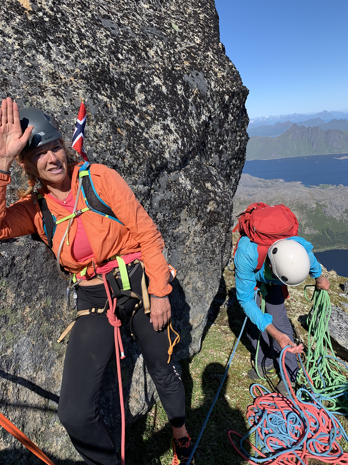

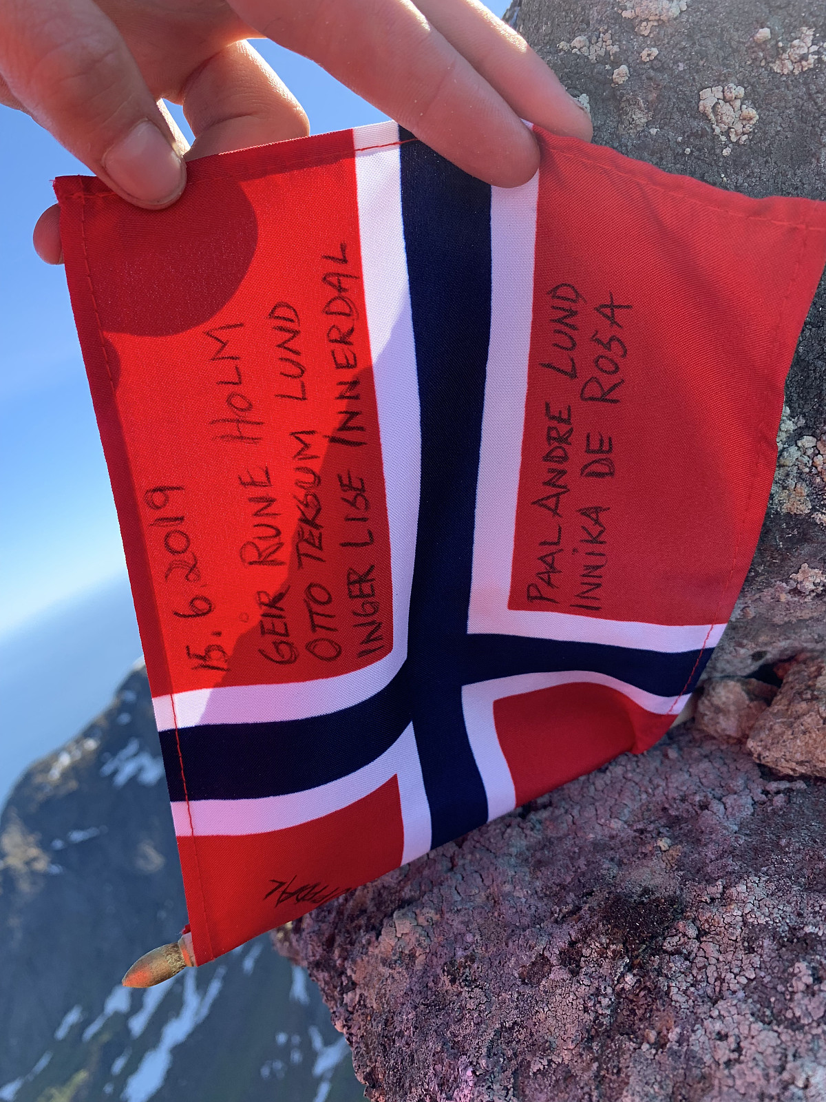
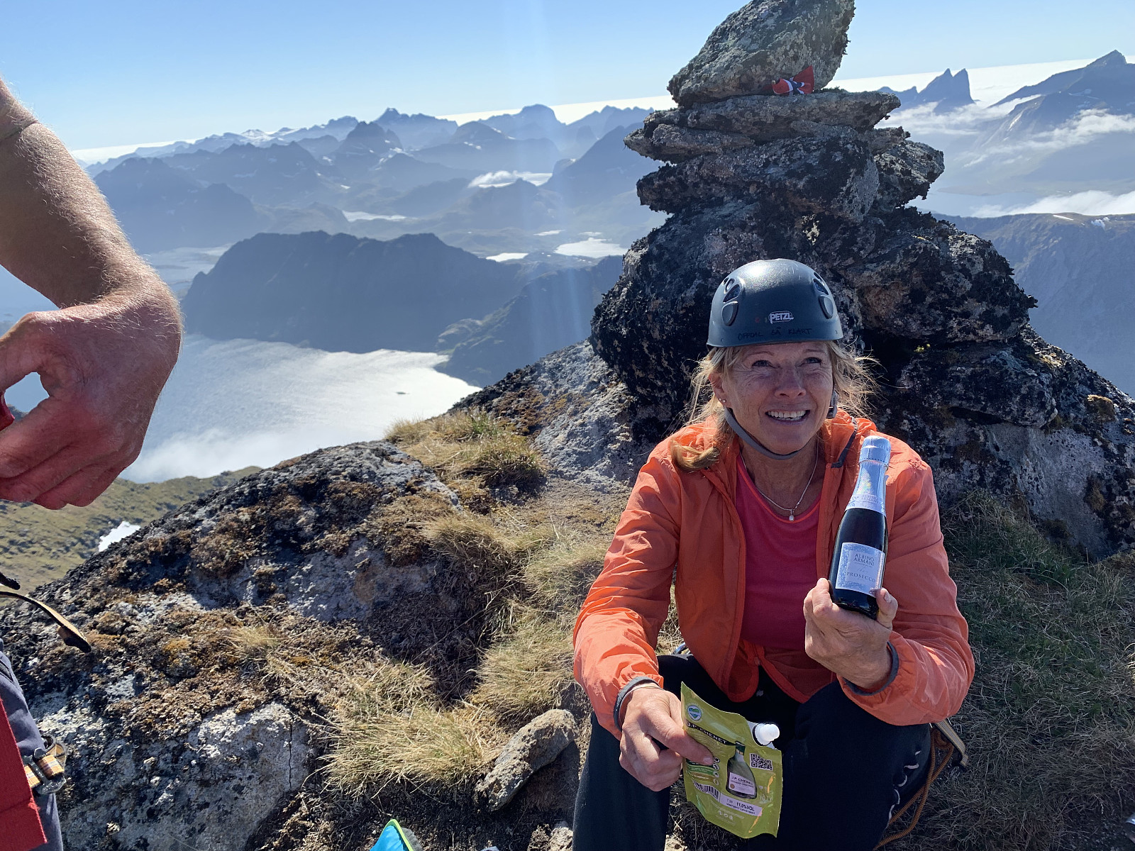
Store gratulasjoner til Inger Lise - første damen til å bestige alle kommunetopper og øytopper i Norge!!! We discussed if I am the first australian to stand on the top of Stjerntinden?
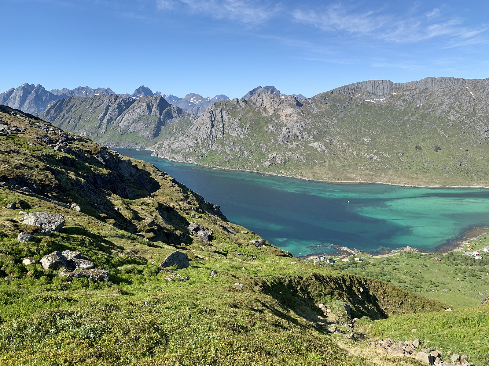
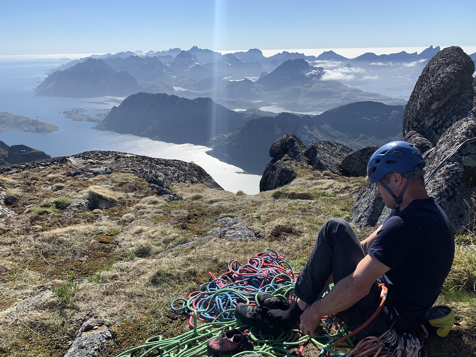
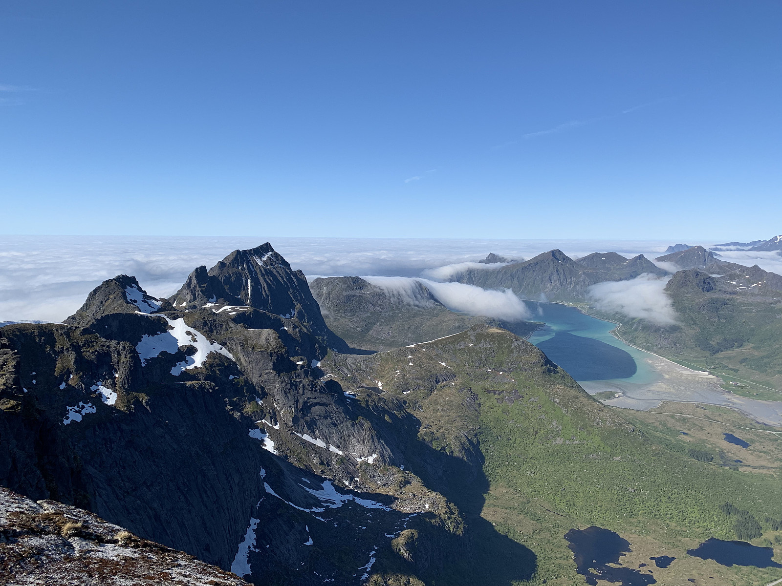
From the top we enjoyed the incredible views in all directions, before we started fixing the ropes for the rappells down. We had one short rappell from the top to above the snow field, and then one long, 60m rappell down to the 750moh point. Here our 60m ropes weren't long enough to reach the ground, so we rappelled almost to the end, secured ourselves to a cam with our slings, then scrambled the last few meters down.
From here, we headed down carefully over the slippery traverse and down the gullies. It was hard to find our way down, so with a combination of our GPS tracks from the way up and Inger Lise's many years of experience, we ended up more or less following the same path. My watch ran out of battery at the top so my GPS is only for the path up. Reports from Otto, Inger Lise & Paal have their full GPS tracks.We managed to avoid one of the steeper grass gullies (bonus!) and we were back at the car 10.5 hours after starting our hike this morning. An incredible day out in the mountains, and a trip that won't be forgotten any time soon.
Tusen, tusen takk for en utrolig opplevelse og fabelaktig selskap otto (Otto Lund), innerdal (Inger Lise Innerdal) &uglefisk (Paal Andre Lund) og til vår fantastisk, rolig og ekstremt erfarende guide Geir Rune.


User comments
Gratulerer.
Written by BjørnF 18.06.2019 10:06Du har blitt kjempetøff Innika. Heretter er ingen utfordring for stor for deg. Gratulerer igjen.
Sv: Gratulerer.
Written by Skippy 18.06.2019 10:32Tusen takk!!! For noen fine ord :) heldigvis hadde jeg verdens beste og mest erfarende selskap som gjorde turen en del lettere!
Sv: Sv: Gratulerer.
Written by BjørnF 18.06.2019 10:54Bare hyggelig. Du kunne ikke fått deg familie med mer fjellerfaring. Flott at du benytter deg av det og nyter masse fine turer. Ei skikkelig fjellgeit er du.
GRATTIS!
Written by uglefisk 17.06.2019 14:55Du er blitt helt rå! :D