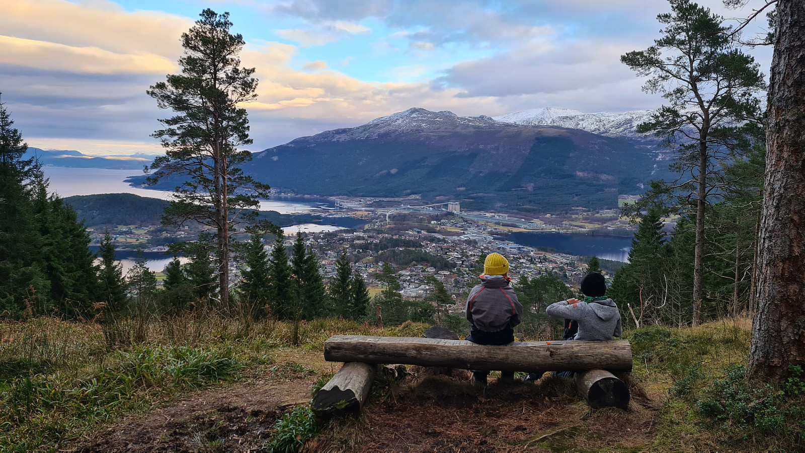
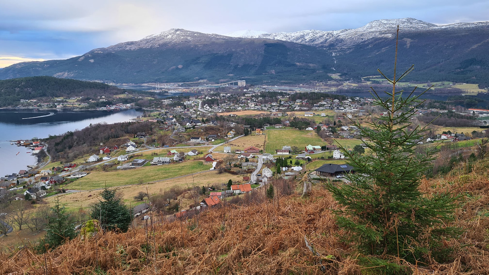
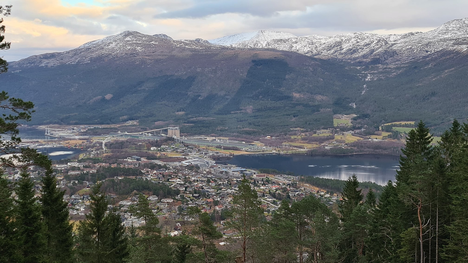
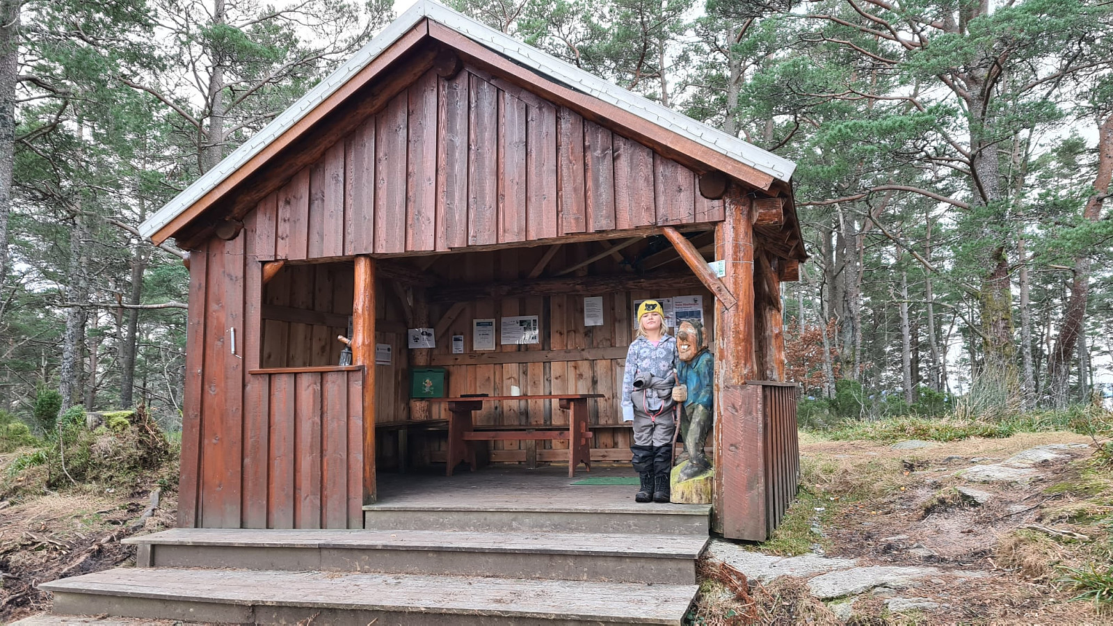
Kvinnherad - Kaldestadåsen 271m (z Kaldestad) (13.12.2020)

| Turtype | Fjelltur |
|---|---|
| Kart |
|
| Bestigninger | Kaldestadåsen (271moh) | 06.05.2021 |
|---|
Trasa 16 w Kvinnherad kommune (Ślady w Norwegii)
Dane z gps :
Stopień trudności: Zielony
Odległość: 2,6 km
Czas: 1 godz : 59 min
Średnia prędkość: 1,31 km / godz.
Średnie tempo: 45:47 min / km
Minimalna wysokość: 68 m
Maksymalna wysokość: 271 m
Różnica wzniesień: 142 m
Punkty doświadczenia: 6
Punkty wpisów : Kaldestadåsen
Punkt startowy: VP4C+9V Husnes
Punkt końcowy: VP4C+9V Husnes
Parking: VP4G+6H Husnes

Kommentarer